Tag Archives: National Recreation Area

Glen Canyon National Recreation Area

Overview

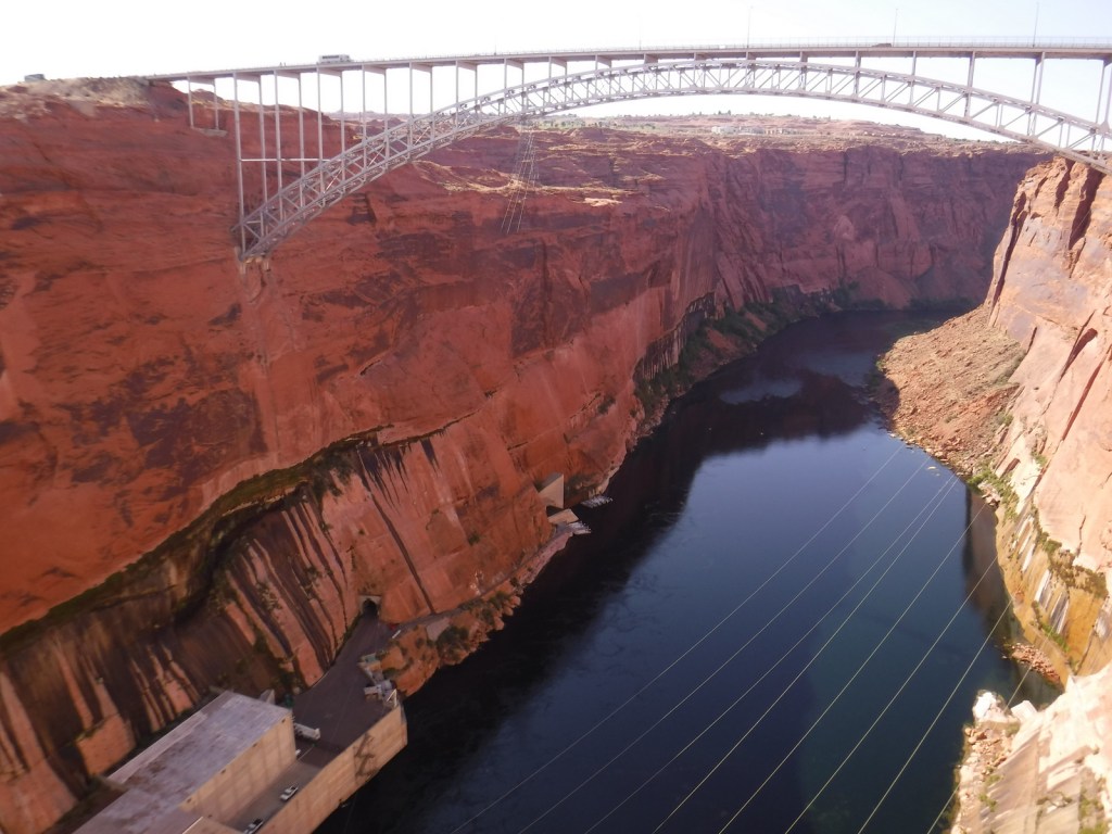
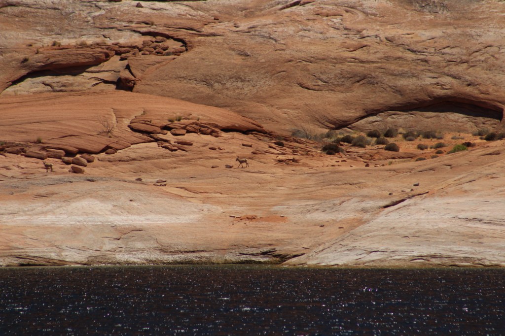
Glen Canyon National Recreation Area encompasses 1.2-million acres surrounding the snaky shoreline of Lake Powell, named for geologist John Wesley Powell who led a mapping expedition down the Colorado River in 1869.  The reservoir was formed by the Glen Canyon Dam, which was built between 1956-63 to store water for the Southwestern U.S. and generate hydroelectricity.  The damming was controversial because it destroyed archaeological sites, submerged scenic canyons, and altered the flow of the Colorado River into Grand Canyon National Park. 

Highlights

Horseshoe Bend Overlook, Lake Powell, Glen Canyon Dam, Cathedral Wash, Lees Ferry, Hole-in-the-Rock

Must-Do Activity

The National Park Service (NPS) run Carl Hayden Visitor Center in Page, Arizona is a good place to start a visit, where you can purchase tickets for a dam tour.  The meandering lake has about 2,000 miles of shoreline (mostly in Utah) with plenty of coves to explore and spend the night aboard a houseboat (rentals available).  If you do not want to attempt navigation there are many commercial boat trips, including an all-day cruise to Rainbow Bridge National Monument.  If you plan to stay on land, be sure to walk out to Horseshoe Bend Overlook, hike through the high desert landscape, or drive some of the hundreds of miles of dirt roads.

Best Trail

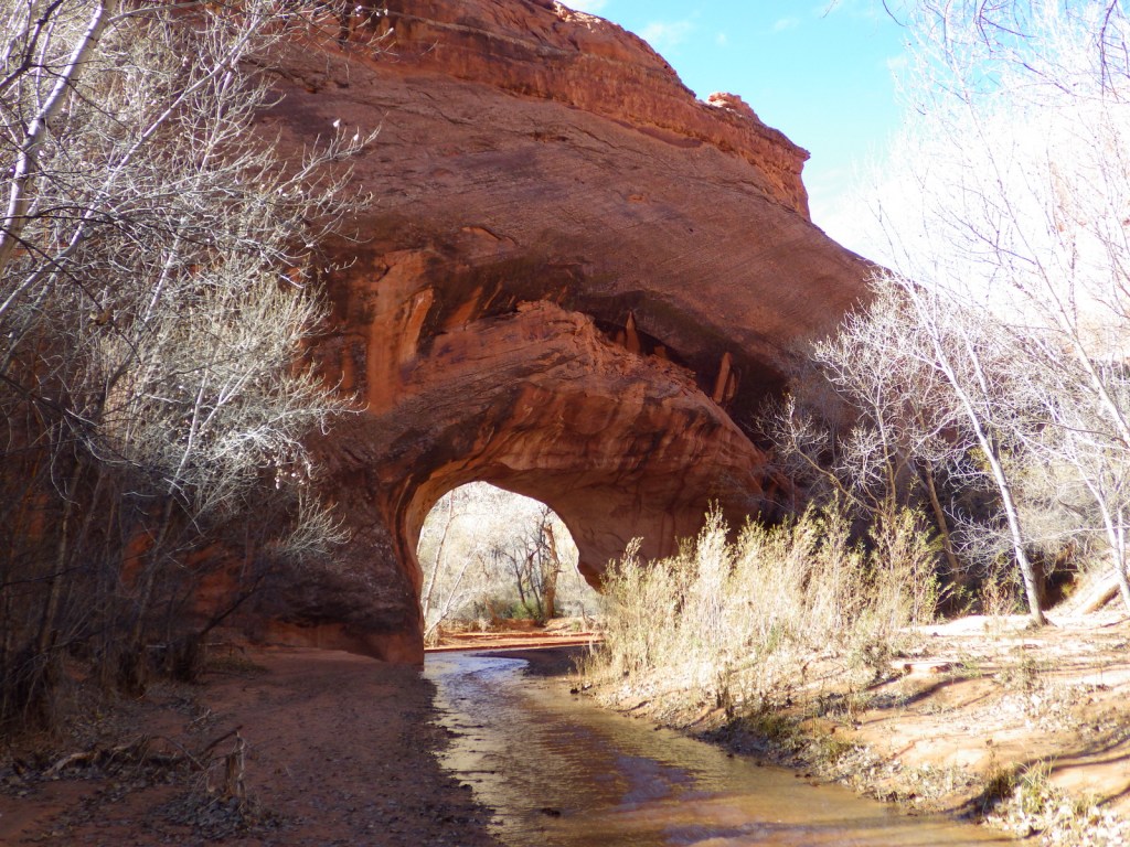
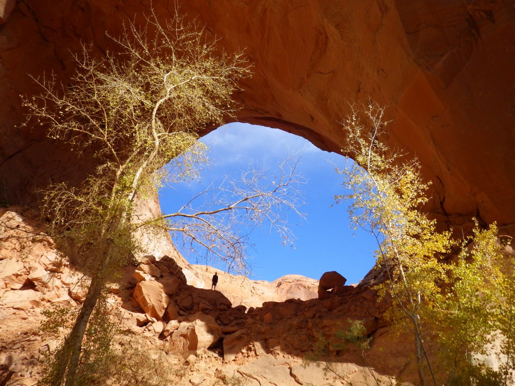
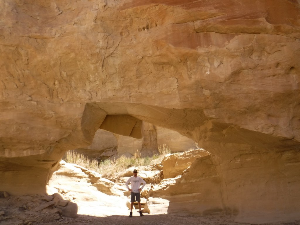
Wiregrass Canyon is located east of Big Water, Utah and the rocky trail passes hoodoos and two natural bridges.

Instagram-worthy Photo

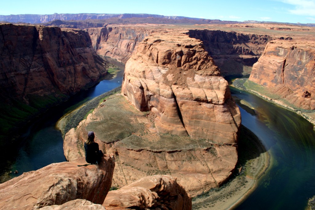
You might want to bring your “selfie stick” to iconic Horseshoe Bend Overlook, a short 0.7-mile one-way hike from the parking area on Highway 89 outside Page, Arizona.
Peak Season

Spring and fall

Hours

https://www.nps.gov/glca/planyourvisit/hours.htm

Fees

Parking is now $10 at Horseshoe Bend Overlook (no NPS passes accepted), but many other sites are free. There is a $30 per vehicle entrance fee at some marinas (NPS passes accepted), in addition to charges for the dam tour and guided boat tours.

Road Conditions

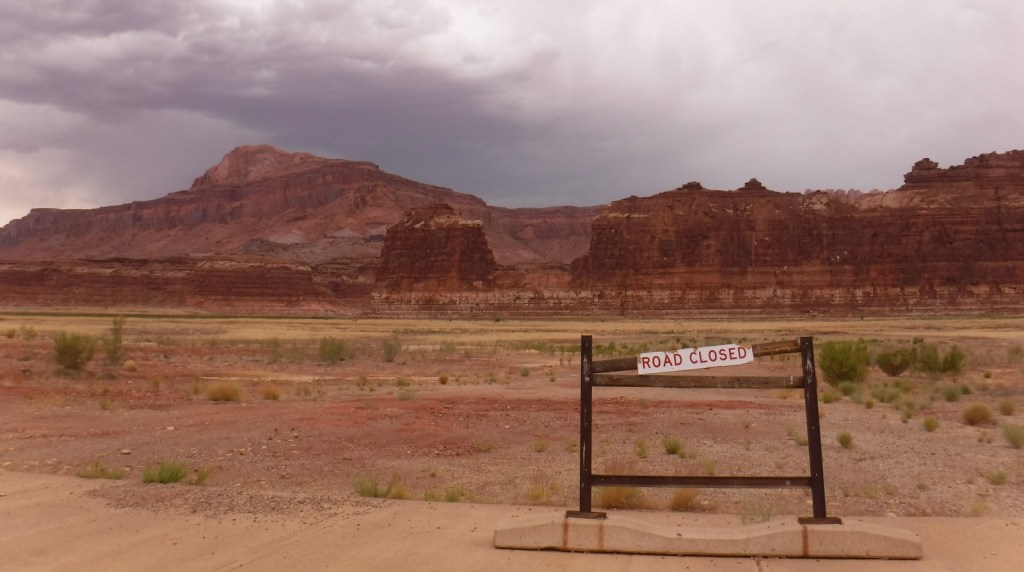
This park is famous for its backcountry 4×4 roads (like Hole-in-the-Rock Road) and flash floods, so check with a park ranger before attempting anything unpaved.  A fee is charged to ferry across the lake between Halls Crossing and Bullfrog Marina.

Camping

There are several developed campgrounds (mostly near marinas), but free primitive camping is allowed along most dirt roads.  A permit is required for overnight camping in the beautiful Coyote Gulch area, which is popular with backpackers.

Related Sites

Lake Mead National Recreation Area (Nevada-Arizona)

Canyon de Chelly National Monument (Arizona)

Capitol Reef National Park (Utah)
Explore More – Lake Powell is well known for its “bath tub ring,” so when did the reservoir last reach its high-water mark?

Top National Park Service Site in Each State

We kicked off our travel blog by highlighting our favorite National Park Service site in each of the 50 states.

Alabama

Tuskegee Airmen National Historic Site

Alaska

Wrangell-St. Elias National Park and Preserve

Arizona

Organ Pipe Cactus National Monument

Arkansas

Buffalo National River

California

Lava Beds National Monument

Colorado

Great Sand Dunes National Park and Preserve

Connecticut

Weir Farm National Historic Site

Delaware

First State National Historical Park

Florida

Dry Tortugas National Park

Georgia

Andersonville National Historic Site

Hawaii

Kalaupapa National Historical Park

Idaho

City of Rocks National Reserve

Illinois

Pullman National Historical Park

Indiana

Indiana Dunes National Park

Iowa

Effigy Mounds National Monument

Kansas

Brown v. Board of Education National Historic Site

Kentucky

Mammoth Cave National Park

Louisiana

Jean Lafitte National Historical Park and Preserve

Maine

Appalachian National Scenic Trail 

Maryland

Catoctin Mountain Park

Massachusetts

Lowell National Historical Park

Michigan

Pictured Rocks National Lakeshore

Minnesota

Grand Portage National Monument

Mississippi

Vicksburg National Military Park

Missouri

Ozark National Scenic Riverways

Montana

Big Hole National Battlefield

Nebraska

Scotts Bluff National Monument

Nevada

Great Basin National Park

New Hampshire

Saint-Gaudens National Historic Site

New Jersey

Thomas Edison National Historical Park

New Mexico

Bandelier National Monument

New York

Fort Stanwix National Monument

North Carolina

Cape Lookout National Seashore

North Dakota

Theodore Roosevelt National Park

Ohio

Dayton Aviation Heritage National Historical Park

Oklahoma

Chickasaw National Recreation Area

Oregon

John Day Fossil Beds National Monument 

Pennsylvania

Fort Necessity National Battlefield

Rhode Island

Roger Williams National Memorial

South Carolina

Congaree National Park

South Dakota

Jewel Cave National Monument

Tennessee

Big South Fork National River and Recreation Area

Texas

Big Bend National Park

Utah

Capitol Reef National Park

Vermont

Marsh-Billings-Rockefeller National Historical Park 

Virginia

Fort Monroe National Monument

Washington

Lake Chelan National Recreation Area

West Virginia

New River Gorge National Park and Preserve

Wisconsin

Apostle Islands National Lakeshore

…and finally our home state…

Wyoming

Yellowstone National Park


Honorable Mention

District of Columbia

Ford’s Theatre National Historic Site

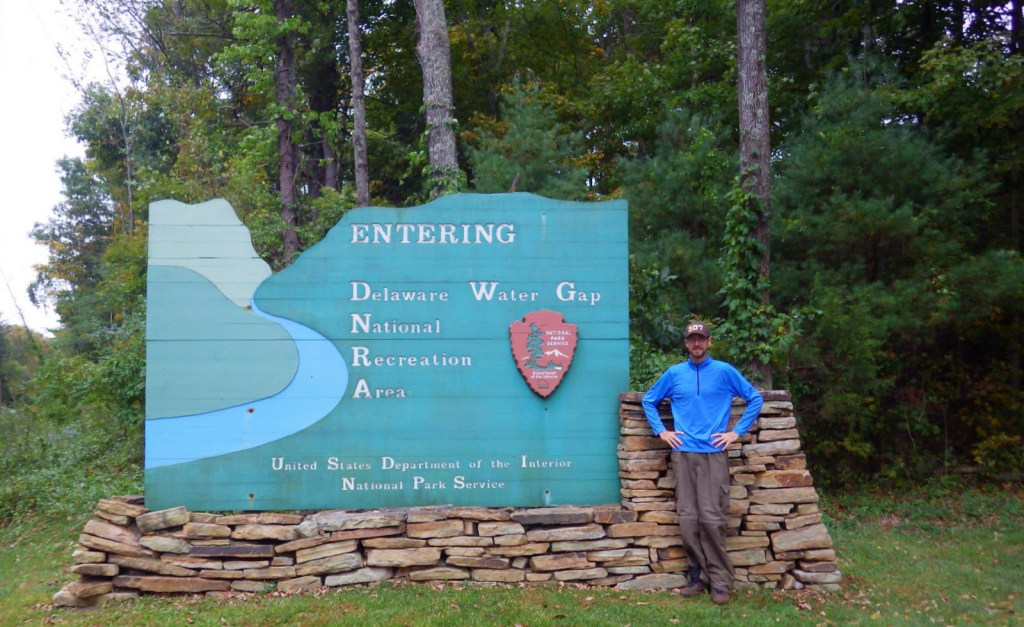
Delaware Water Gap National Recreation Area

Overview

On the Pennsylvania-New Jersey border, the Delaware River flows through a gap in the long ridge of the Appalachian Mountains.  This marks the southern end of Delaware Water Gap National Recreation Area and the site of the Kittatinny Point Visitor Center (right off Interstate 80) managed by the National Park Service (NPS).  When preservationists fought to protect this area from being dammed in the 1960s it led to the creation of the National Recreation Area surrounding a 40-mile stretch of river designated as the Middle Delaware National Scenic River.

Highlights

Raymondskill Falls, Millbrook Village, Dingmans Falls, floating Middle Delaware National Scenic River

Must-Do Activity

Most of the NPS visitor centers are open seasonally in this resort area on the Pocono Plateau.  We visited in the offseason in late September and enjoyed hiking to Raymondskill, Silver Thread, and Dingmans Falls on the Pennsylvania side.  On the New Jersey side the main attraction is Millbrook Village, a recreated 1800s town that is open year round.  Fishing, swimming, and floating the Middle Delaware National Scenic River are popular in the summer.

Best Trail

There are more than 100 miles of trails within the park, including 27 miles of the famous Appalachian National Scenic Trail that leads to the top of Mt. Minsi for great views of the actual Delaware Water Gap.

Instagram-worthy Photo

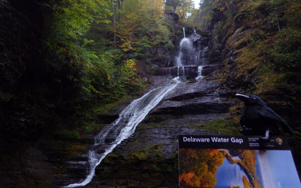
A boardwalk trail passes 80-foot tall Silver Thread Falls on the way to 130-foot tall Dingmans Falls.

Peak Season

Summer

Hours

https://www.nps.gov/dewa/planyourvisit/hours.htm

Fees

None for entry, but some sites have a user fee (Smithfield Beach, Milford Beach, etc.) and there are toll bridges across the river in places.

Road Conditions

There are several unpaved roads and toll bridges within the boundaries of Delaware Water Gap National Recreation Area.

Camping

Promised Land State Park in Pennsylvania

Campground options available in New Jersey include Worthington State Forest, High Point State Park, and Stokes State Forest.  Dingmans Campground on the Pennsylvania side offers discounts for the NPS Senior Pass. Primitive camping is allowed for thru-hikers on the Appalachian National Scenic Trail and along the riverside for boaters.  Keep a clean campsite, as black bears are common.

Related Sites

Upper Delaware Scenic and Recreational River (New York-Pennsylvania)

Allegheny Portage Railroad National Historic Site (Pennsylvania)

Hopewell Furnace National Historic Site (Pennsylvania)

Explore More – The Delaware River is one of the cleanest rivers in the eastern U.S. and attracts large numbers of which nationally symbolic raptor every winter?

Amistad National Recreation Area

Overview

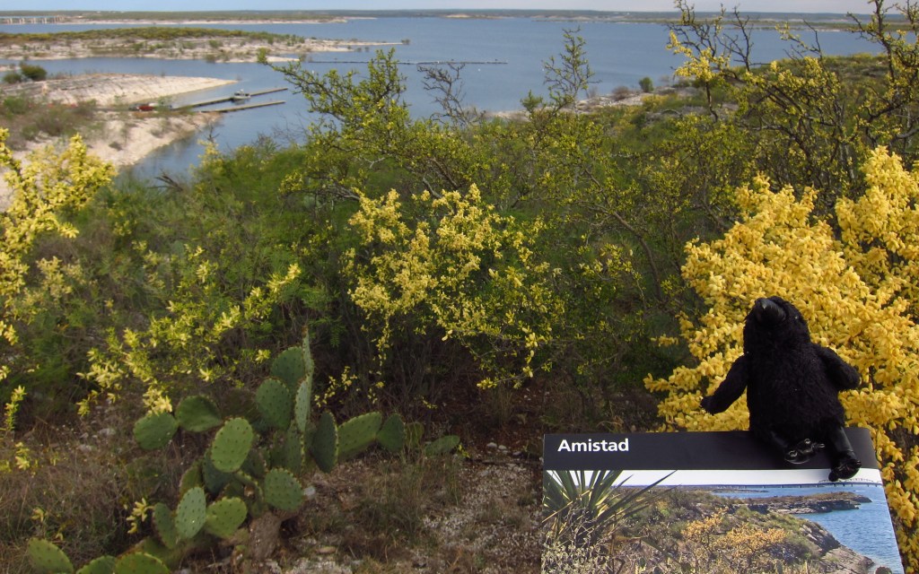
Amistad translates as “friendship” from Spanish, which is fitting given that this reservoir is shared by the U.S. and Mexico.  Marinas and boat ramps provide access to the lake for watersports, like fishing and waterskiing.  The 254-foot tall dam across the Rio Grande was built in 1968 and serves as a customs station in Del Rio, Texas.  The National Park Service (NPS) runs a free museum nearby.

Highlights

Panther Cave pictographs, Seminole Canyon State Park, watersports

Must-Do Activity

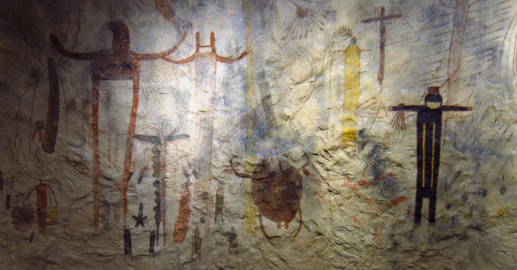
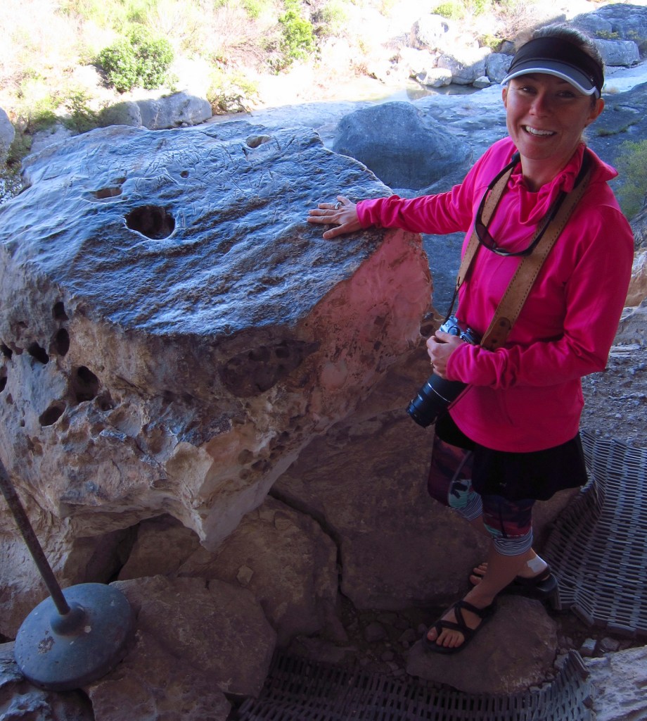
Amistad National Recreation Area is also famous for its 4,000-year-old pictographs, which can most easily be accessed on guided tours of Seminole Canyon State Park, 45 miles outside Del Rio, Texas on Highway 90.  Admission is charged for the museum and tour, but provides the only way to see the colorful artwork in Fate Bell Shelter.  Viewing fossils in the limestone was an added bonus on the tour.

Best Trail

The pictographs in Panther Cave can be seen from afar by hiking a trail in the state park or up-close by boating to the dock and climbing a steep stairway. 

Instagram-worthy Photo

If you are unable to hike down into the canyon, the Seminole Canyon State Park museum has a replica of the rock art.

Peak Season

Summer

Hours

https://www.nps.gov/amis/planyourvisit/hours.htm

Fees

Boating passes start at $4 for a 1-day pass, $8 per person to tour Seminole Canyon State Park

Road Conditions

All major roads paved

Camping

Two NPS campgrounds are available at Governors Landing and San Pedro and there is a campground at Seminole Canyon State Park.

Related Sites

Alibates Flint Quarries National Monument (Texas)

Waco Mammoth National Monument (Texas)

Canyonlands National Park (Utah)

Explore More – How many miles of the Rio Grande do the park’s boundaries encompass?

Fort Donelson National Battlefield

Overview

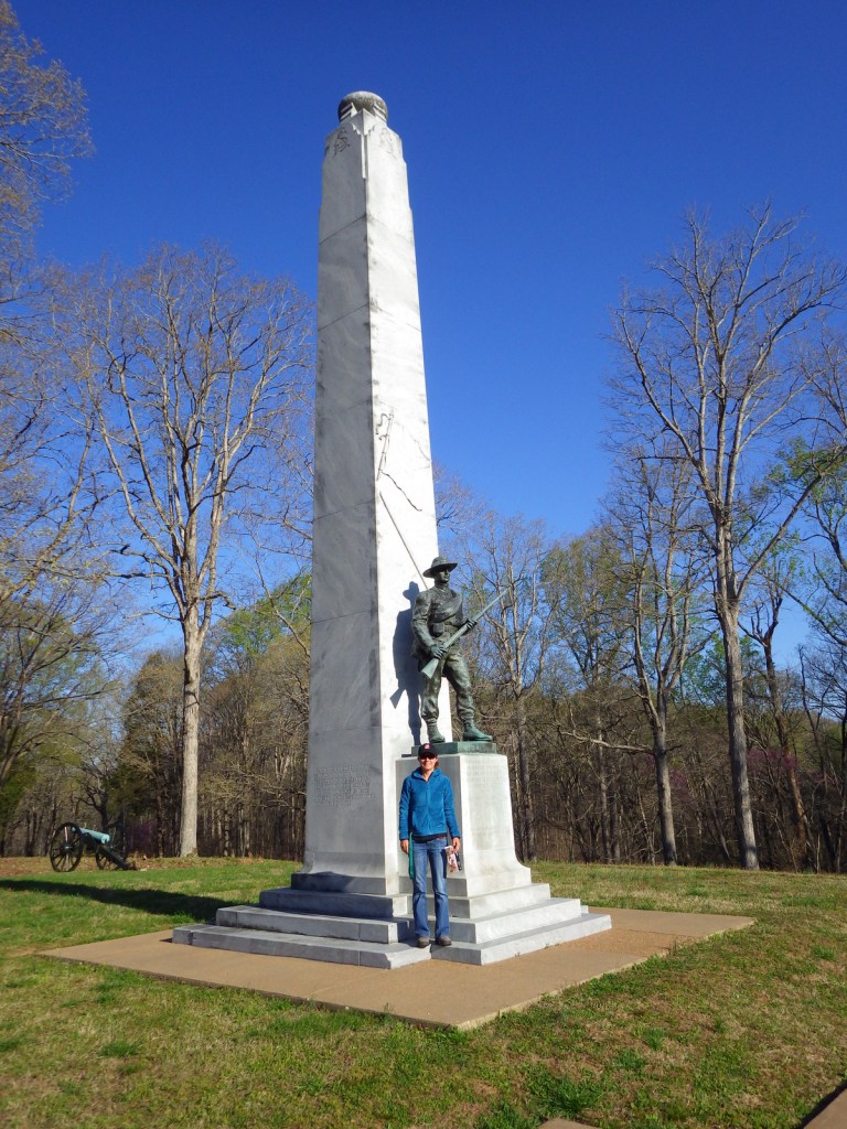
Fort Donelson National Battlefield commemorates the first major Union victory of the Civil War.  It quickly followed the capture of Fort Henry on the Tennessee River (which is now flooded by Kentucky Lake).  The battle earned Union General U.S. Grant fame for his reply to Confederate General Simon Buckner: “No terms except an unconditional and immediate surrender can be accepted.”  This led to the joke that his initials stood for “Unconditional Surrender.”  After more than 12,000 Confederate troops were taken prisoner on February 16, 1862, the Union army soon took Nashville, Tennessee.

Highlights

Dover Hotel, Land Between the Lakes National Recreation Area, cannons

Must-Do Activity

Visitors today can take a six-mile driving tour to see the rifle pits, lower river battery, and earthworks along the Cumberland River, in addition to an exhibit on the first floor of the Dover Hotel (where terms of surrender were signed).  This hilly riverside park is also a nice place to exercise and watch for bald eagles and other wildlife. Fort Donelson National Cemetery is located nearby.

Best Trail

Fort Donelson National Battlefield is neighbors with Land Between the Lakes National Recreation Area, which is managed by the U.S. Forest Service.  Tucked between the Tennessee and Cumberland Rivers, this area was claimed through eminent domain by the Tennessee Valley Authority (TVA) when dams were built.  Outdoor recreation is now the focus with reservoirs, trails, bison and elk herds, a living history museum, and a planetarium.  Also, there are more than 200 cemeteries in this 170,000-acre area.

Instagram-worthy Photo

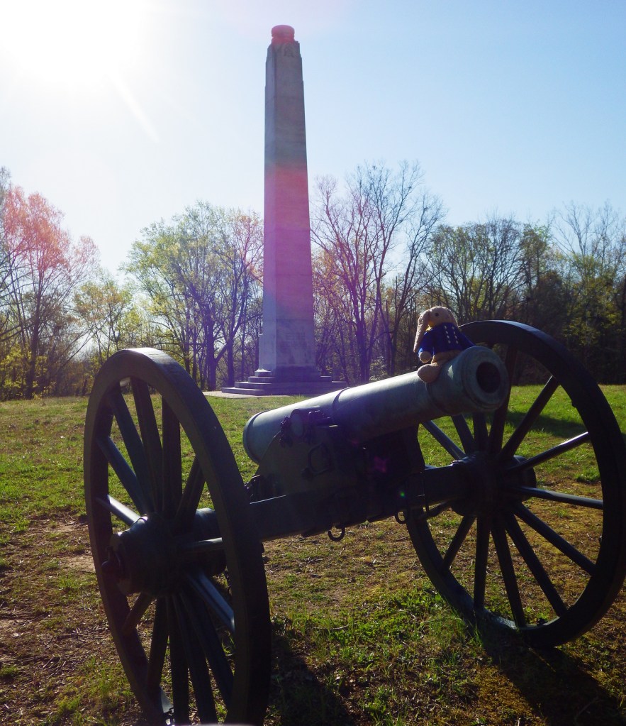
Giant cannons are mounted in the lower river battery along the Cumberland River.

Peak Season

Summer

Hours

https://www.nps.gov/fodo/planyourvisit/hours.htm

Fees

None for the National Battlefield, but there are entry fees for portions of Land Between the Lakes National Recreation Area

Road Conditions

All roads paved

Camping

There are numerous campgrounds in Land Between the Lakes National Recreation Area, as well as at Paris Landing State Park.

Related Sites

Shiloh National Military Park (Tennessee)

Big South Fork National River and Recreation Area (Tennessee)

Mammoth Cave National Park (Kentucky)

Explore More – Fort Donelson and which other nearby fort were havens for escaped slaves later in the Civil War?