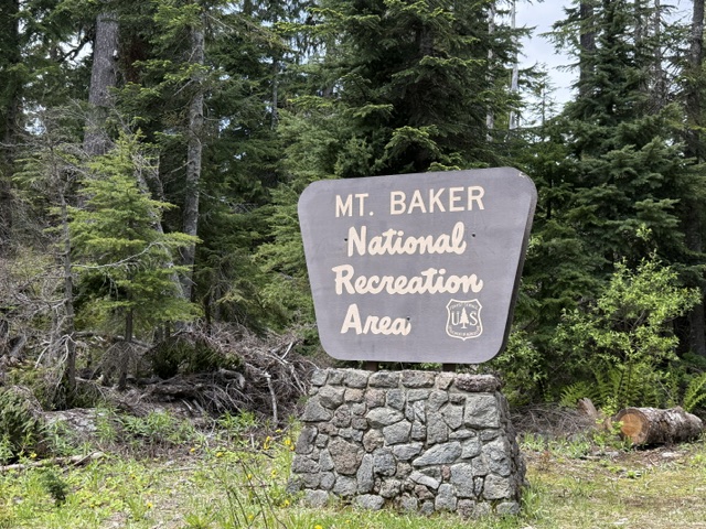
Mt. Baker National Recreation Area
Washington
Managed by U.S. Forest Service, Pacific Northwest Region
Established 1984
8,473 acres
Website: https://www.fs.usda.gov/r06/mbs/recreation/mt-baker-national-recreation-area
Overview
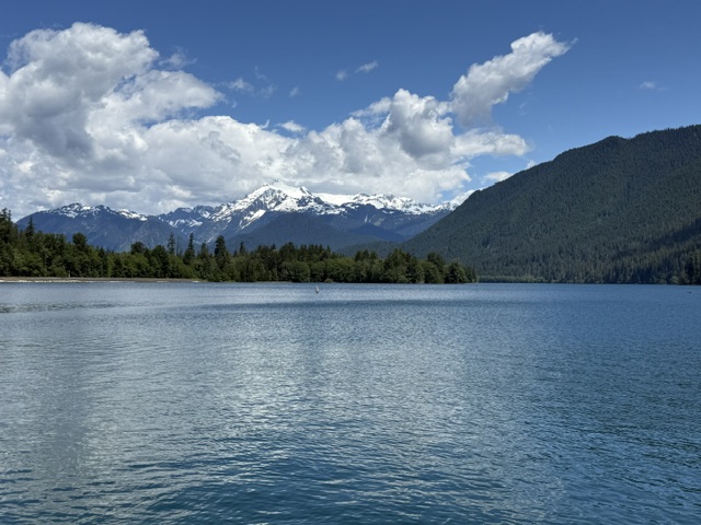
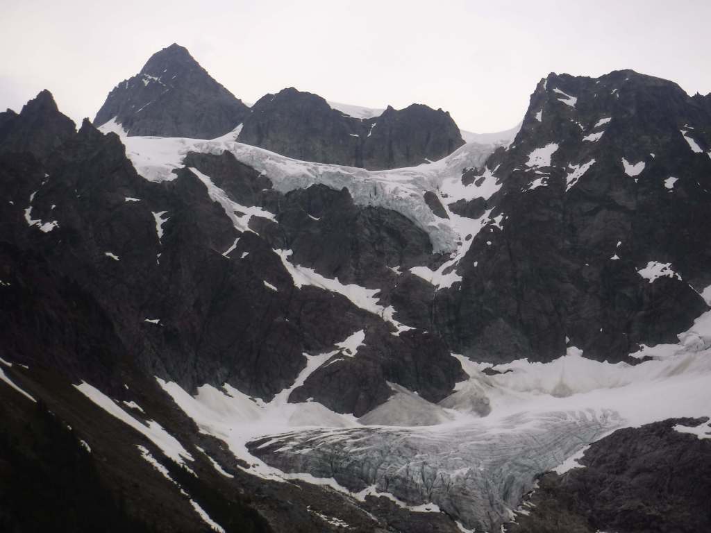
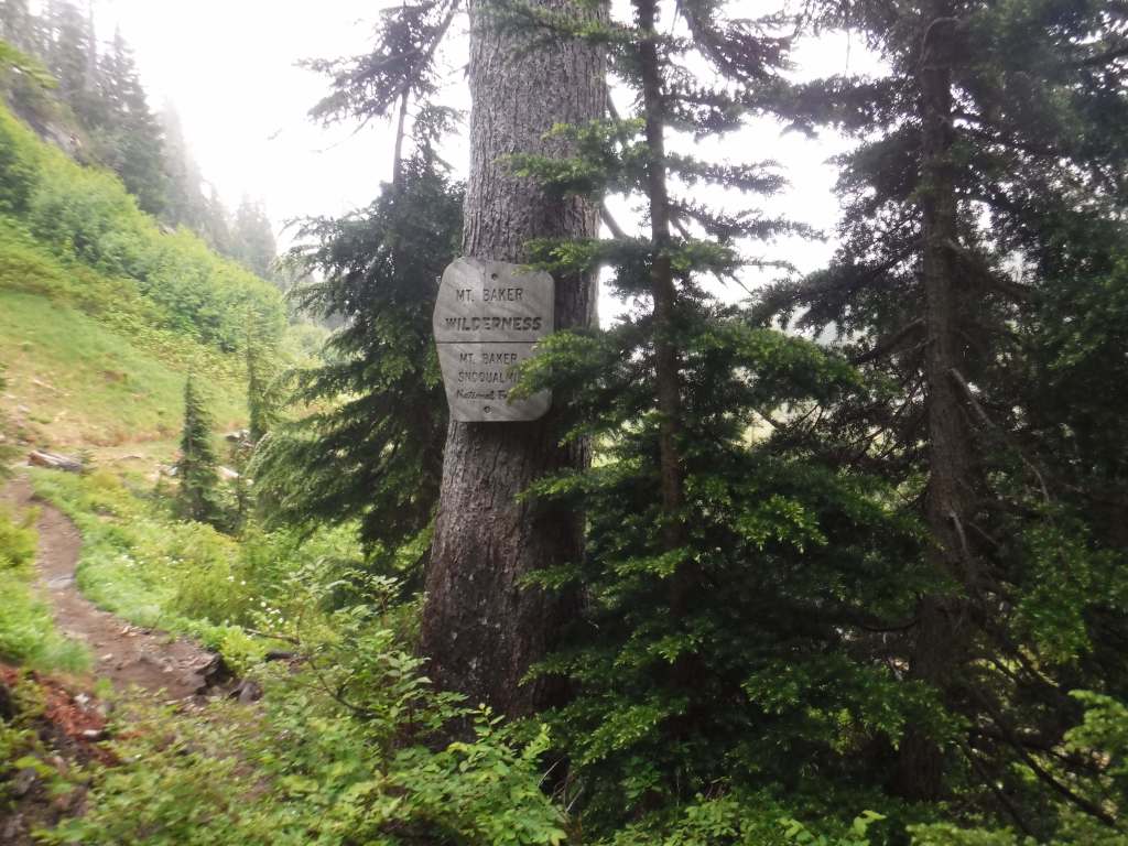
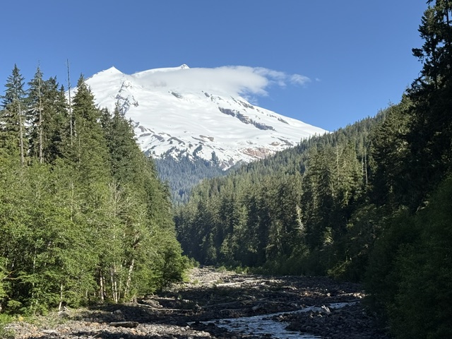
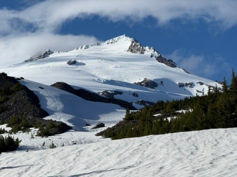
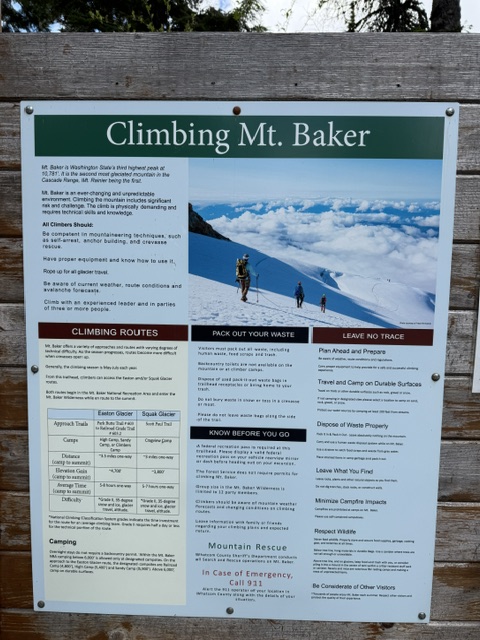
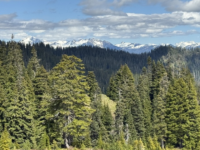
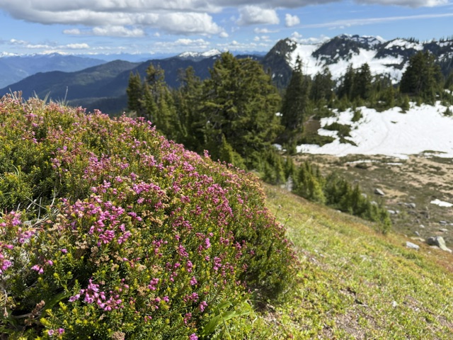
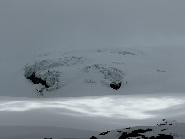
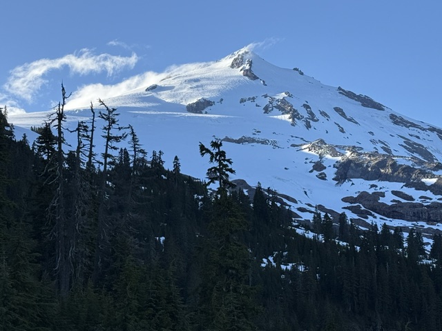
Part of Mt. Baker-Snoqualmie National Forest, Mt. Baker National Recreation Area was set aside to provide a place for snowmobile use on the 10,781-foot volcano’s south slope. Snowmobiling is restricted to certain areas outside the designated Wilderness and requires a minimum snow depth of two feet. Mt. Baker is an active stratovolcano that last had a major eruption 6,700 years ago, but experienced hydro-thermal explosions in 1840 and 1880 that led to dangerous lahars.
Highlights
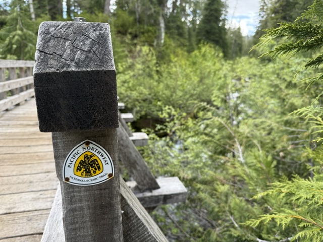
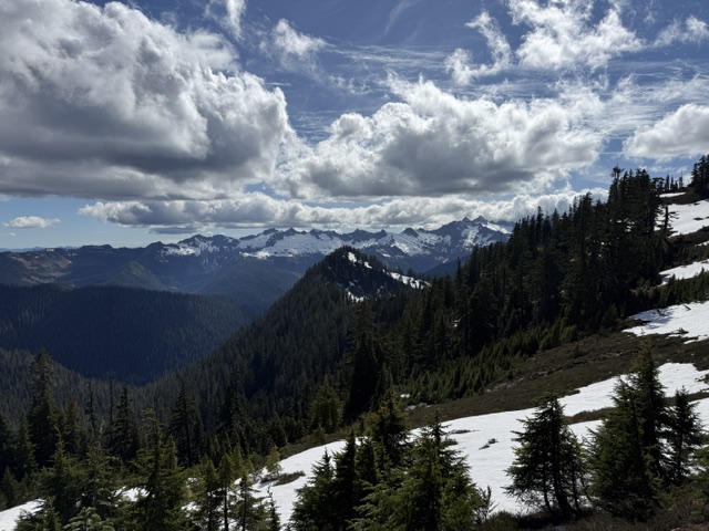
Park Butte Lookout, Railroad Grade Trail, Scott Paul Trail, Pacific Northwest National Scenic Trail
Must-Do Activity
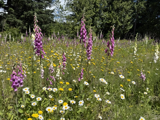
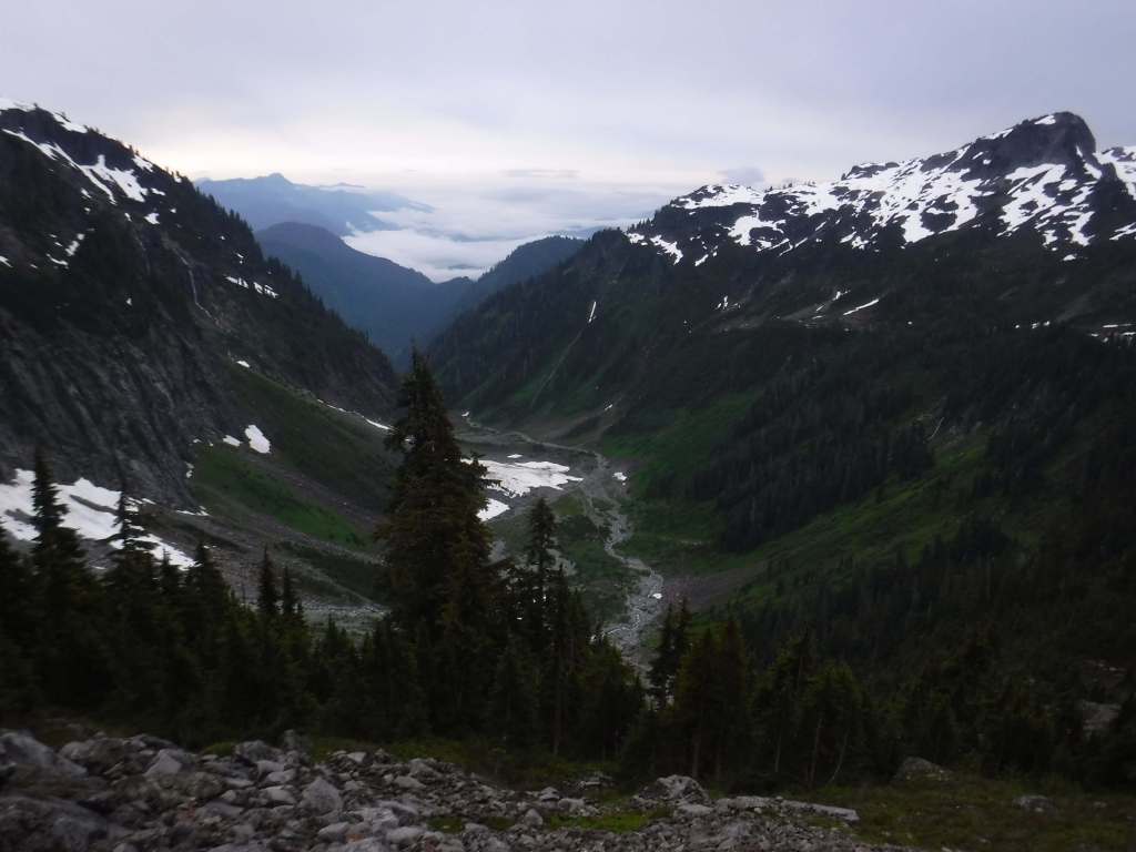
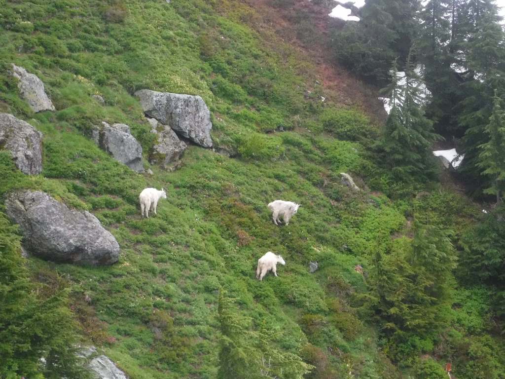
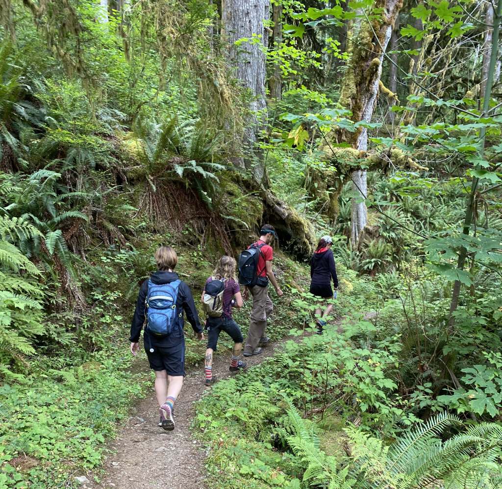
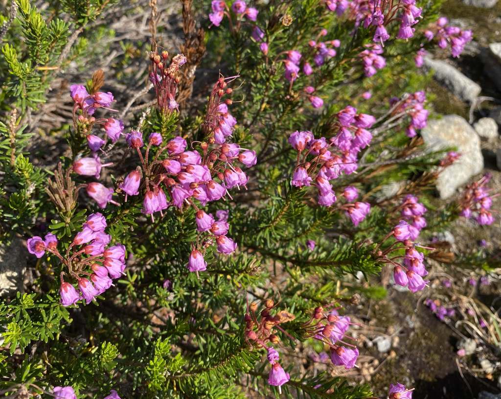
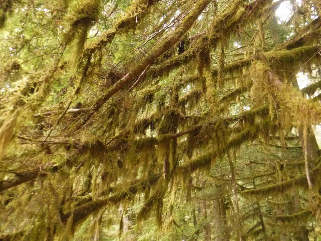
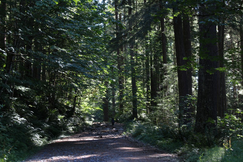
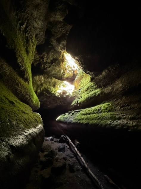
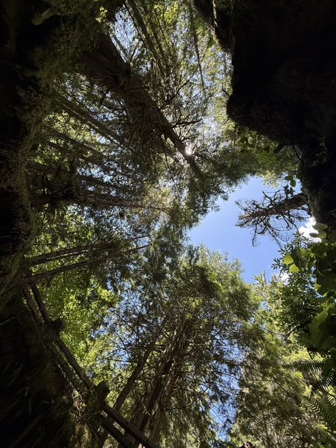
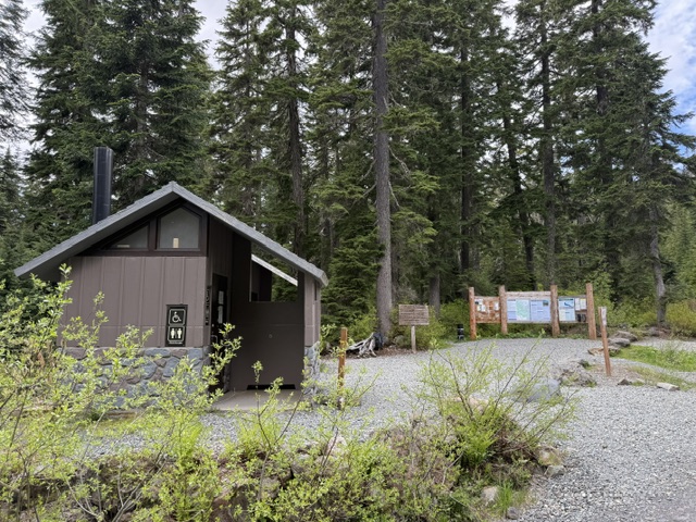
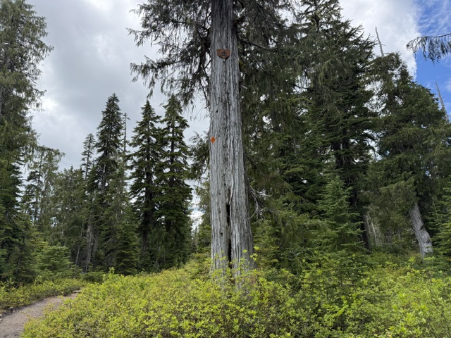
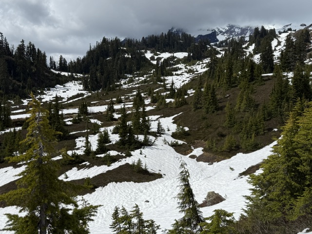
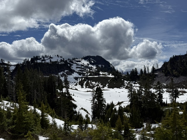
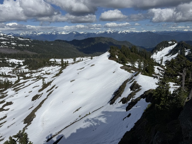
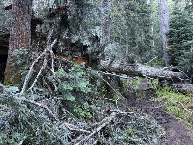
North of Baker Lake, Park Butte Trailhead is the main access point for Mt. Baker National Recreation Area and has a large parking lot with vault toilets and trash cans. Park Butte Trail immediately enters groves of large western hemlock and Alaska yellow-cedar trees. Taking the split to the right for the Scott Paul Trail creates a 7.5-mile loop, which remains heavily snow covered into mid-June. In addition to snowmobiling, other activities include snowshoeing, skiing, picking huckleberries, and climbing to the summit of Mt. Baker on the Coleman Glacier and Easton Glacier routes. Horseback riding is allowed on Bell Pass, Elbow Lake, Park Butte, and Ridley Creek Trails.
Best Trail
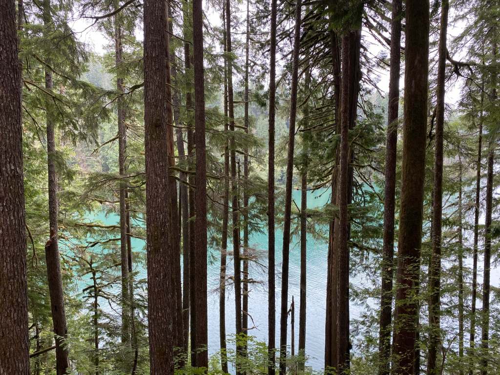
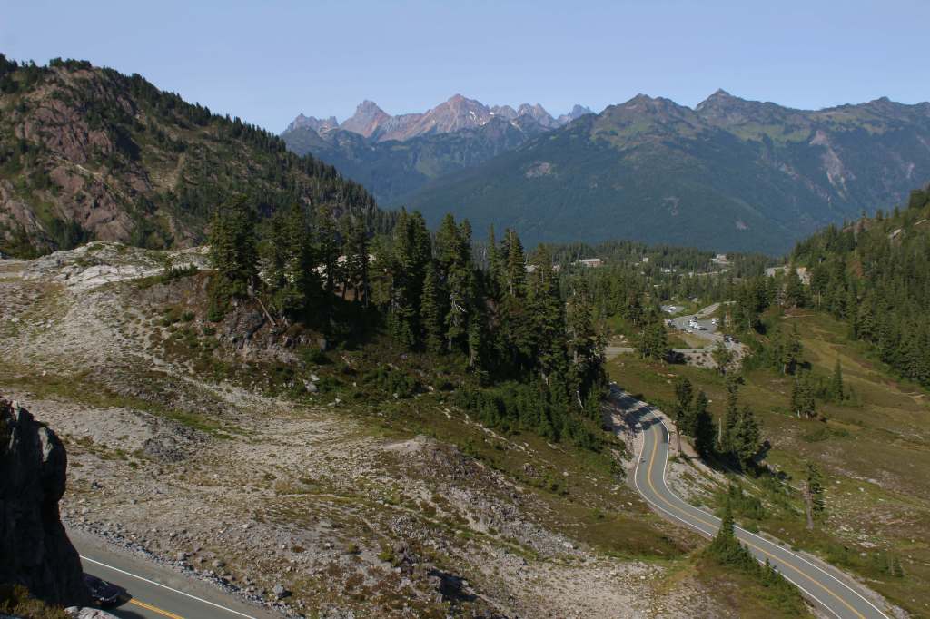
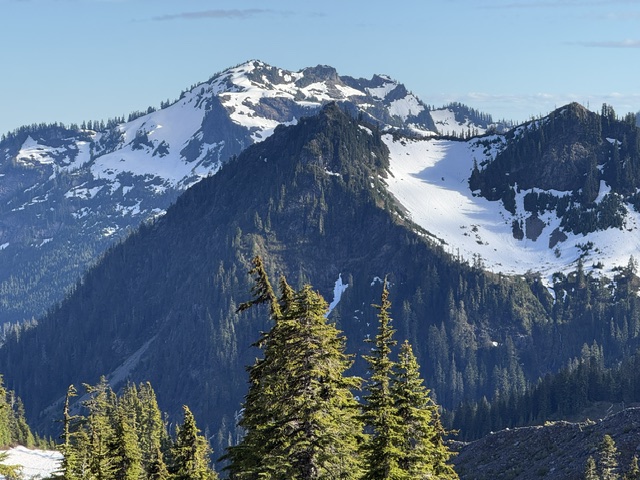
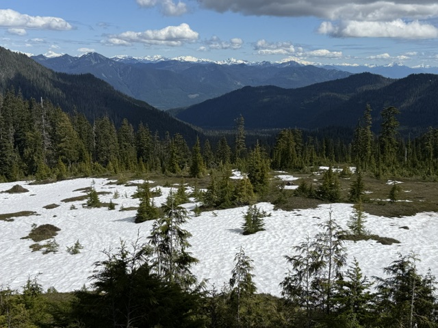
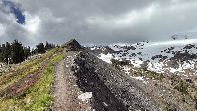
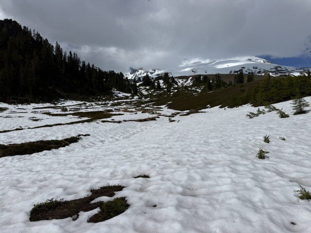
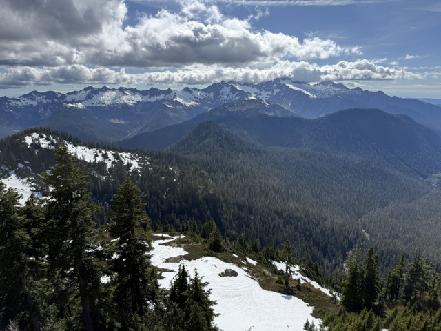
Railroad Grade Trail splits off Park Butte Trail and quickly climbs up to a lateral glacial moraine that offers incredible views of Mt. Baker on clear days. It is used by mountain climbers making their way to the summit of the volcano.
Photographic Opportunity
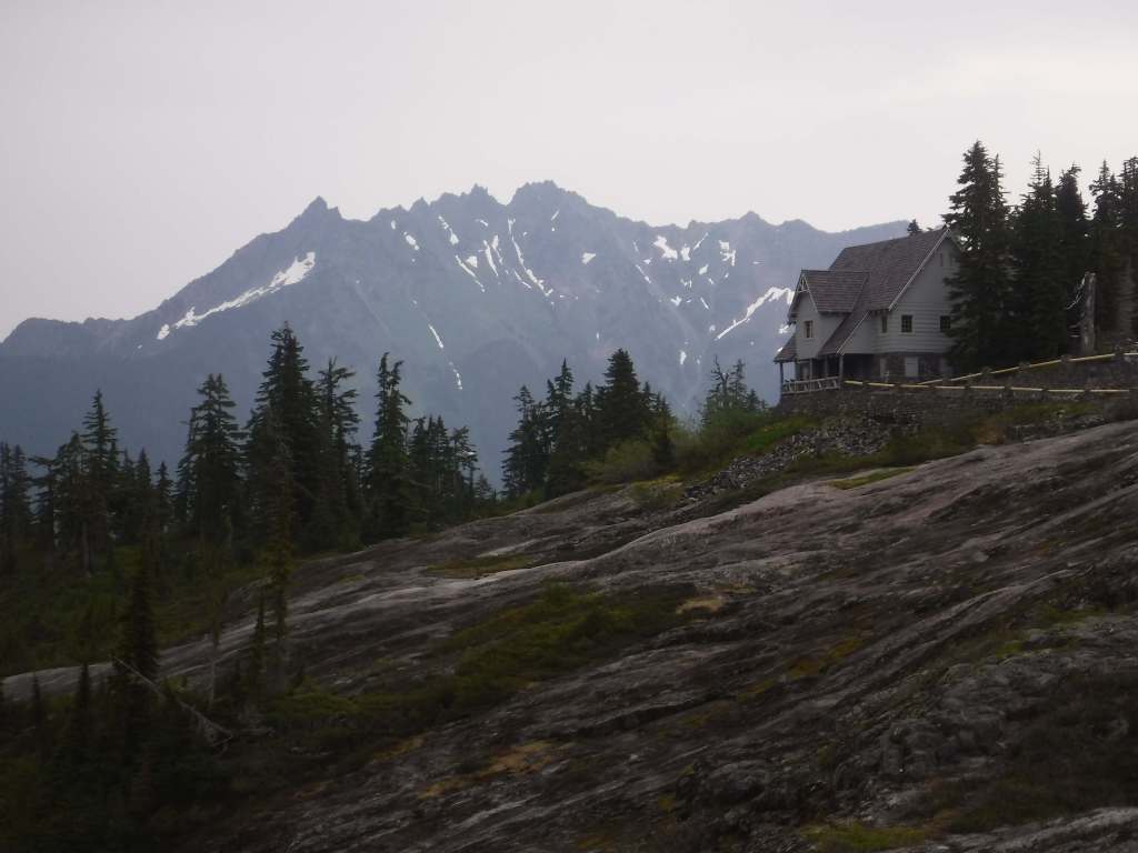
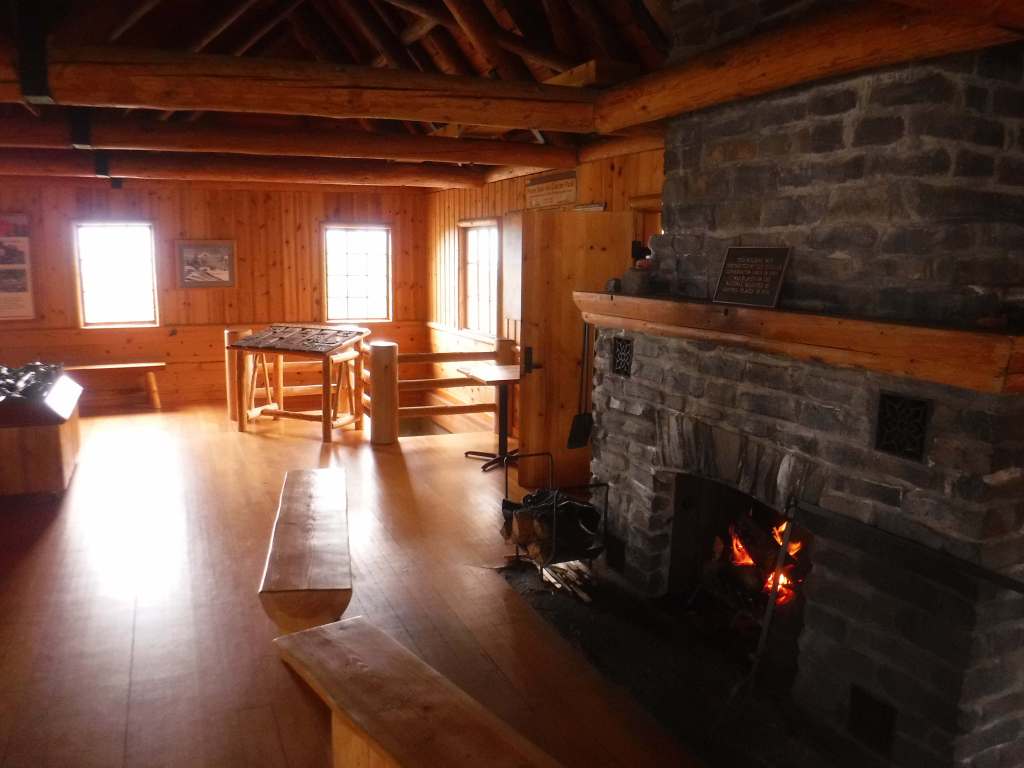
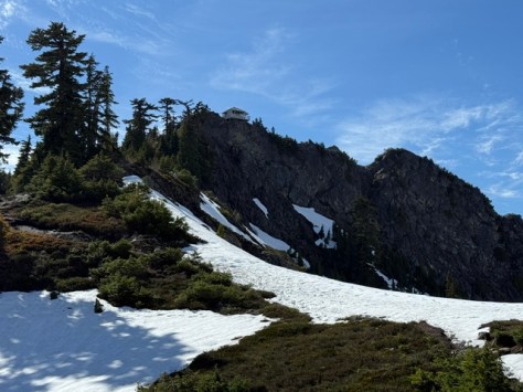
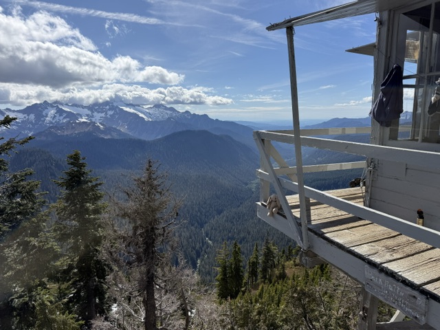
It is 7.9 miles out-and-back with 2,093 feet of cumulative elevation gain to the Park Butte Lookout, a historic structure built in 1932 that is maintained by Skagit Alpine Club volunteers. It is technically just inside the boundary for Mt. Baker Wilderness.
Peak Season
Summer
Fees
$5 day use (or America the Beautiful pass) at Park Butte Trailhead from May 1 through October 31, and a Washington State Sno-Park permit required the rest of the year.
Road Conditions
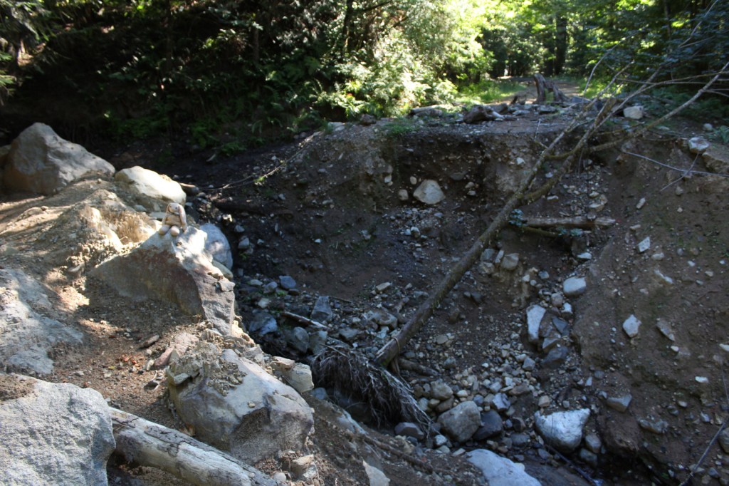
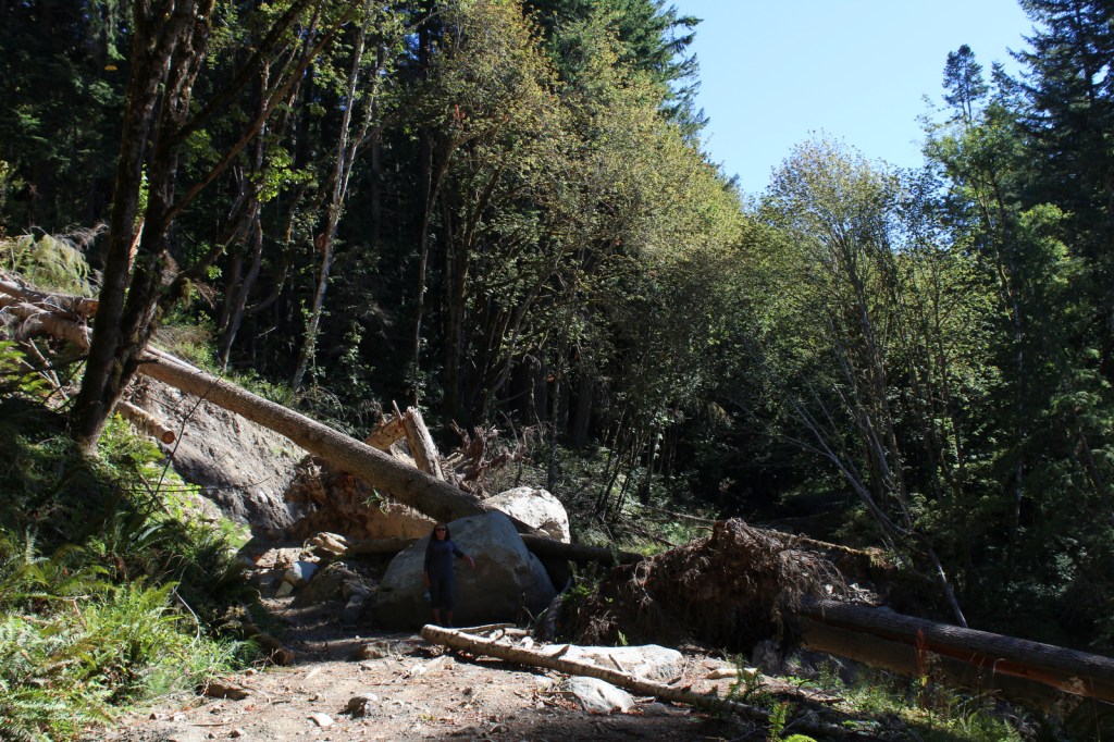
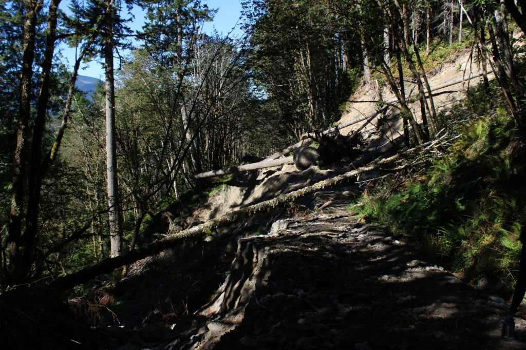
Park Butte Trailhead is accessed by taking the pothole-riddled Forest Service Roads 12 and 13 uphill for 8.9 miles. Access to Elbow Lake Trailhead and Ridley Creek Trailhead also require long dirt road drives.
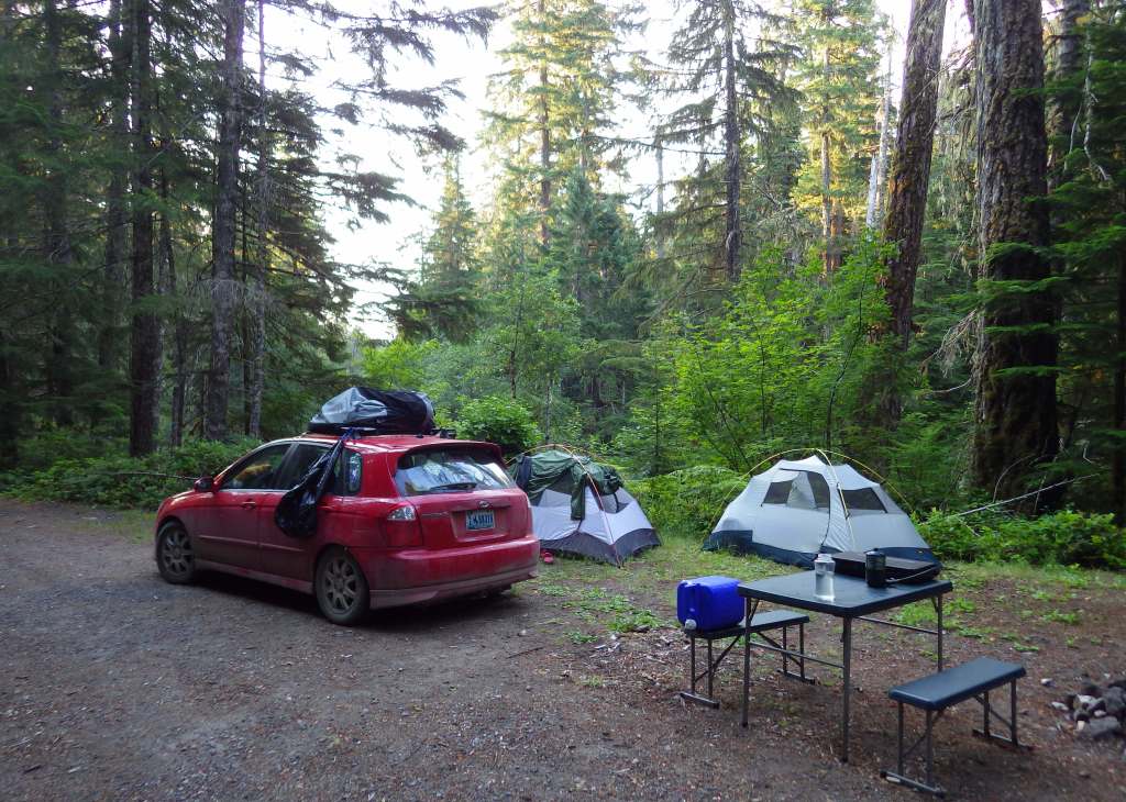
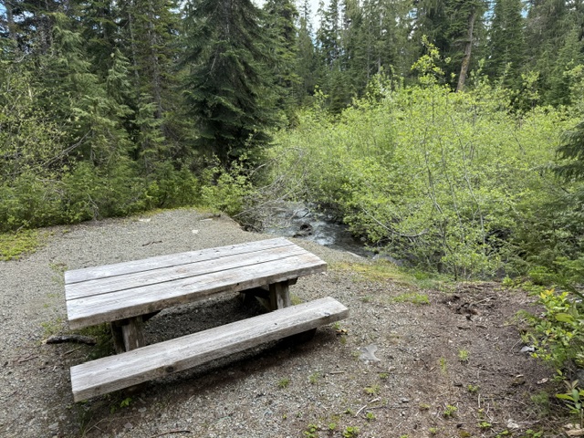
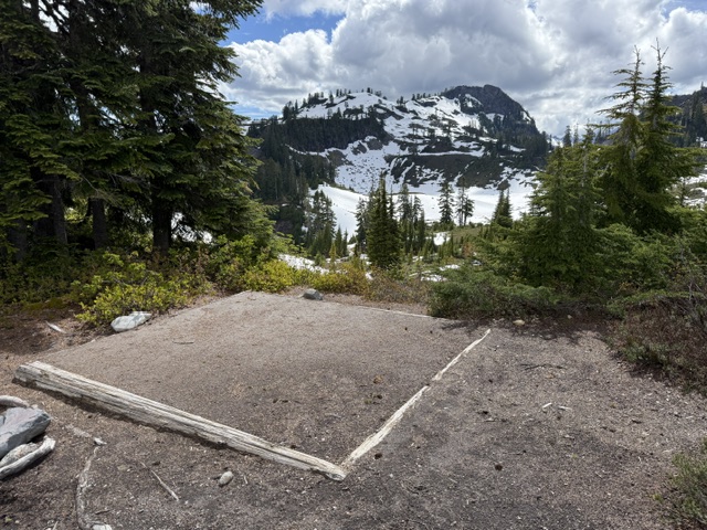
Camping
There are a couple designated free hiker campsites at Park Butte Trailhead with limited options for dispersed car camping situated along the road up to it. Backpacking is popular in this area, especially inside the historic 1932 Park Butte Lookout, which is available on a first-come, first-served basis. There are flat tent pads built at Cathedral Camp, High Camp, Railroad Camp, and Mazama Park Horse Camp in the backcountry.
Related Sites
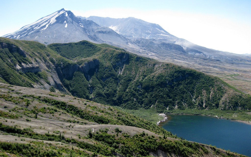
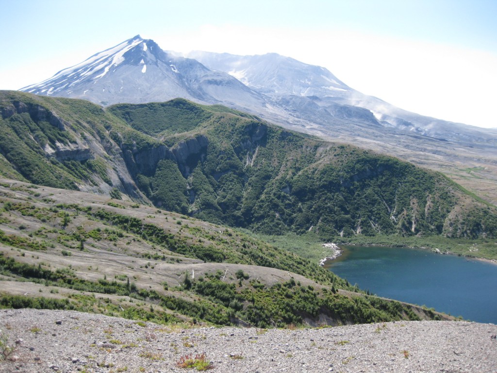
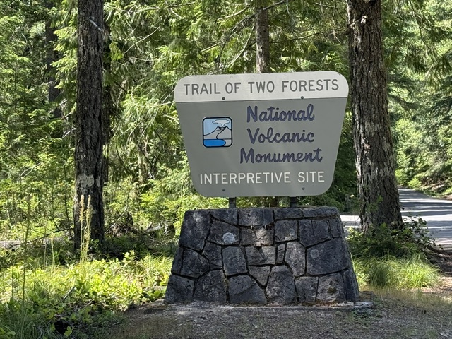
Mt. St. Helens National Volcanic Monument (Washington)
Ebey’s Landing National Historic Reserve (Washington)
Okanogan National Forest (Washington)
Mt. Baker National Forest (Washington)
Nearest National Park
North Cascades


Explore More – Mt. Baker has the second-most thermally active crater in the Cascade Range, ranking only after which volcano?

Know someone who loves the National Forests? Gift them our travel guidebook Out in the Woods so they can learn more about all 155 National Forests.