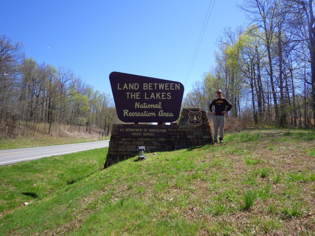
Land Between The Lakes National Recreation Area
Kentucky, Tennessee
Managed by U.S. Forest Service, Southern Region
170,310 acres
Website: https://landbetweenthelakes.us/
Overview
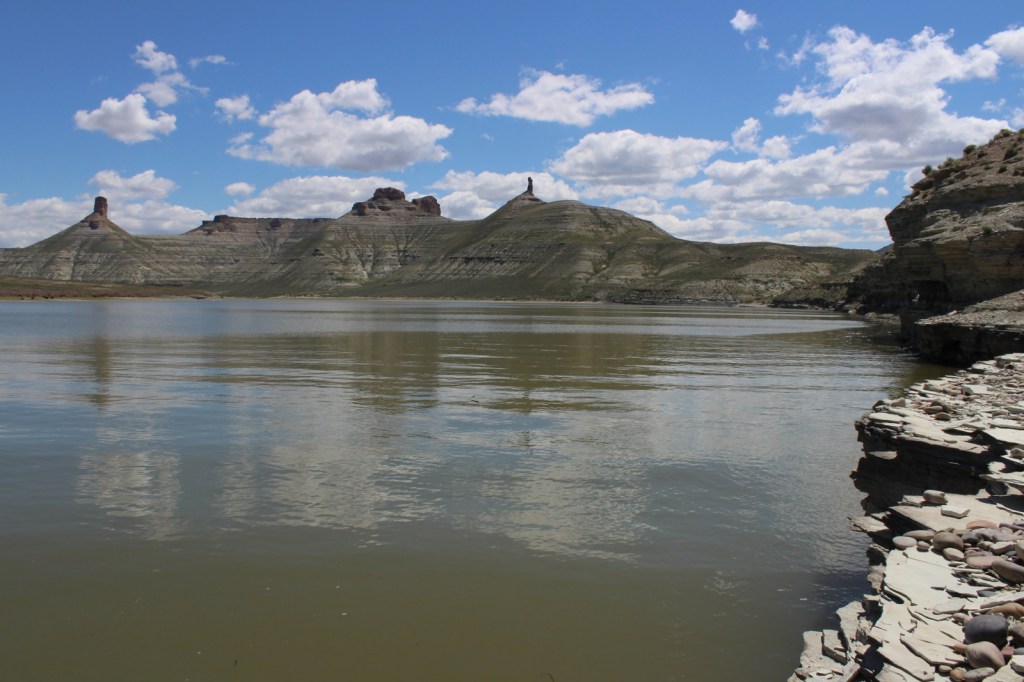
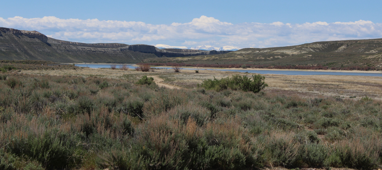
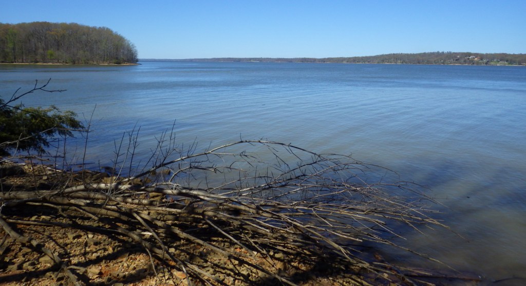
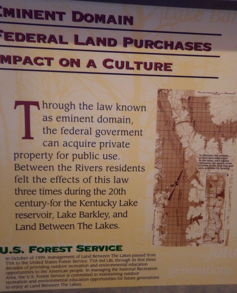
In western Kentucky, the U.S. Forest Service manages 106,458-acres as Land Between The Lakes National Recreation Area (and not part of any National Forest). It gets its name from the narrow strip of land left after the damming of the Tennessee River to create Kentucky Lake and the Cumberland River to create Lake Barkley. The dams were constructed by the Tennessee Valley Authority, who managed this area for recreation until 1999. In 1991, this area was designated a UNESCO Biosphere Reserve, but was withdrawn from the program by the Trump administration. On December 10, 2021, an EF-4 tornado hit the northern portion of the National Recreation Area and recovery is ongoing.
Highlights
Woodlands Trace National Scenic Byway, Elk and Bison Prairie, Golden Pond Planetarium, Homeplace 1850’s Farm, Golden Pond Visitors Center
Must-Do Activity
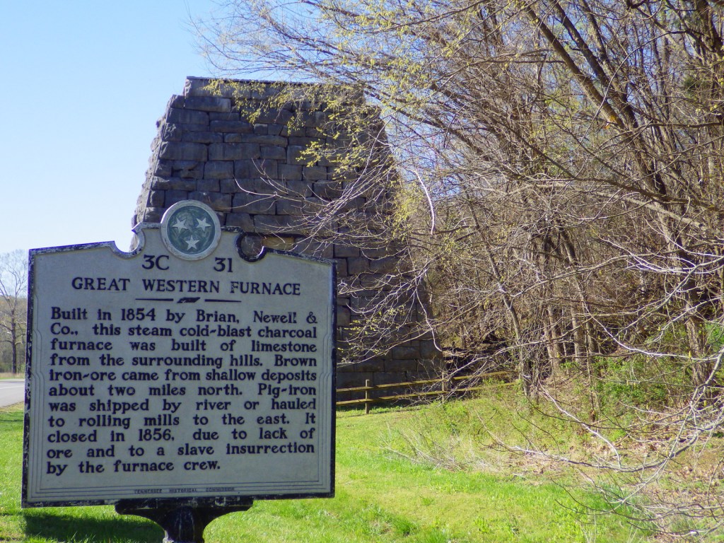
In addition to the traditional watersports, Land Between The Lakes National Recreation Area has several attractions found along the Woodlands Trace National Scenic Byway. These include developed areas (with fees) like the Golden Pond Visitor Center and Planetarium, Elk and Bison Prairie, Woodlands Nature Station, Turkey Bay Off-Highway Vehicle Area, and Homeplace 1850’s Farm (across the border in Tennessee). The roadside pullout for the Great Western Furnace is worth a stop to check out the 1854 charcoal furnace used to create pig-iron.
Best Trail
The North-South Trail runs 59 miles from Kentucky’s Nickell Branch Backcountry Area to Tennessee’s Devils Backbone State Natural Area (near where Civil War-era Fort Henry was submerged beneath Kentucky Lake).
Instagram-worthy Photo
Starting in the 1970s, the Tennessee Valley Authority conducted prescribed burns and reseeded to expand patches of native grasses on 700 acres that became the Elk and Bison Prairie (that officially opened in 1996). There is also a South Bison Range along the Woodlands Trace National Scenic Byway in Tennessee.

Peak Season
Summer
Fees
It is free to drive through Land Between The Lakes National Recreation Area and park at many trailheads, but most attractions require an admission fee.
Road Conditions
Woodlands Trace National Scenic Byway is paved (as is the 3.5-mile loop in the Elk and Bison Prairie) and the gravel roads are well maintained.
Camping
There are several lakeside campgrounds, including Wrangler’s Campground with horse stalls. For those interested in backpacking, there are multiple free backcountry areas to explore, including the Devils Backbone State Natural Area where we camped. The unique Annual Backcountry Camping Permit only costs $30 per person (three-day permits $7).
Related Sites
Fort Donelson National Battlefield (Kentucky-Tennessee)
Big South Fork National Recreation Area (Kentucky-Tennessee)
Daniel Boone National Forest (Kentucky)
Nearest National Park


Explore More – Where were the elk reintroduced from into the Elk and Bison Prairie?