Tag Archives: trees

Kings Canyon National Park

Kings Canyon National Park

California

Managed by National Park Service

Established 1890 as General Grant National Park, 1940 as Kings Canyon National Park

461,847 acres

Website: nps.gov/seki

Overview

Jointly managed with Sequoia National Park since 1943, Kings Canyon does not often receive the individual accolades that it deserves.  The separate Kings Canyon area was added in 1940 to keep this 8,200-foot-deep valley from being dammed.  Much of the park is a mountain wilderness, which can be most easily seen from 7,520-foot Panoramic Point on the Kings Canyon Scenic Byway.  Unlike Yosemite National Park, there is no road over the Sierra Nevada to access the east side.

Learn more about how to visit this National Park in the expanded second edition of our guidebook A Park to Yourself: Finding Solitude in America’s 63 National Parks. 
A raven perched on a sign for Sequoia and Kings Canyon, with towering mountain peaks and a blue sky in the background.

Highlights

General Grant Tree, Kings Canyon Scenic Byway, Panoramic Point, Cedar Grove, Roaring River Falls, Zumwalt Meadow, Mist Falls, Redwood Canyon, John Muir Trail, Pacific Crest National Scenic Trail

Must-Do Activity

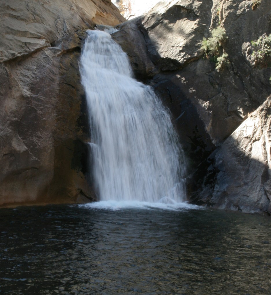
Kings Canyon Scenic Byway is a curvy road that offers plenty of great views as its winds from the General Grant Grove through Giant Sequoia National Monument to dead end at Cedar Grove.  One must-do stop before you reach the park boundary is Grizzly Falls, which also has a picnic area.  Another inside the National Park is Roaring River Falls, an easy half-mile walk down the River Trail near the end of the road.  Between the two sections of the park along the Kings Canyon Scenic Byway, the U.S Forest Service manages Boyden Cave and offers tours in the summer that include a visit to the Bat Grotto (see where it placed on the list of Top 10 Caves in National Forests).

Best Trail

Woods Creek Trail leaves from near Cedar Grove and is an eight-mile roundtrip hike back to beautiful Mist Falls.  Permits are required to backpack along the John Muir Trail, one of the most scenic stretches of the 2,655-mile Pacific Crest National Scenic Trail. 

Photographic Opportunity

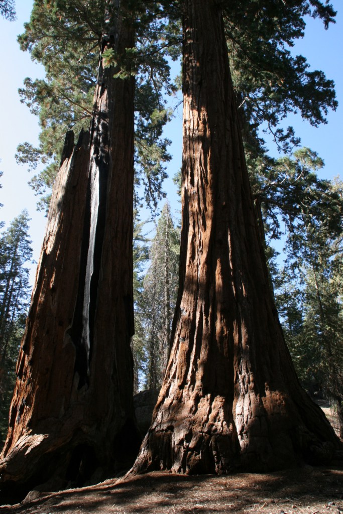
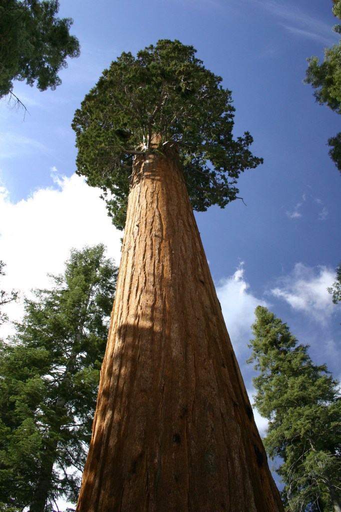
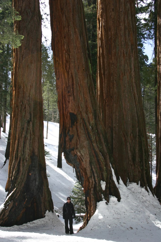
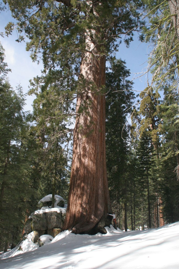
The General Grant Tree is a giant sequoia currently measuring 268.1 feet tall and 29 feet in diameter, making it by volume the second largest single-stemmed tree on the planet after General Sherman in Sequoia National Park. [Disclaimer: Not sure this photo is actually of General Grant.]
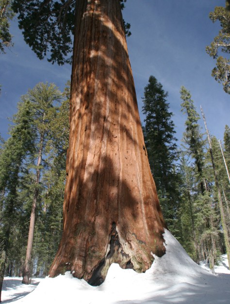
A towering giant sequoia tree with a rough, reddish-brown trunk stands amidst a snowy landscape, surrounded by tall green coniferous trees under a blue sky.

Peak Season

Summer

Hours

https://www.nps.gov/seki/planyourvisit/hours.htm

Fees

$35 per vehicle or America the Beautiful pass

Road Conditions

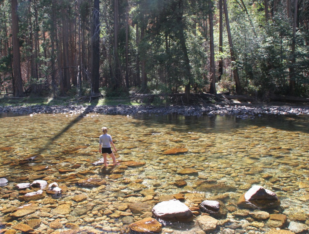
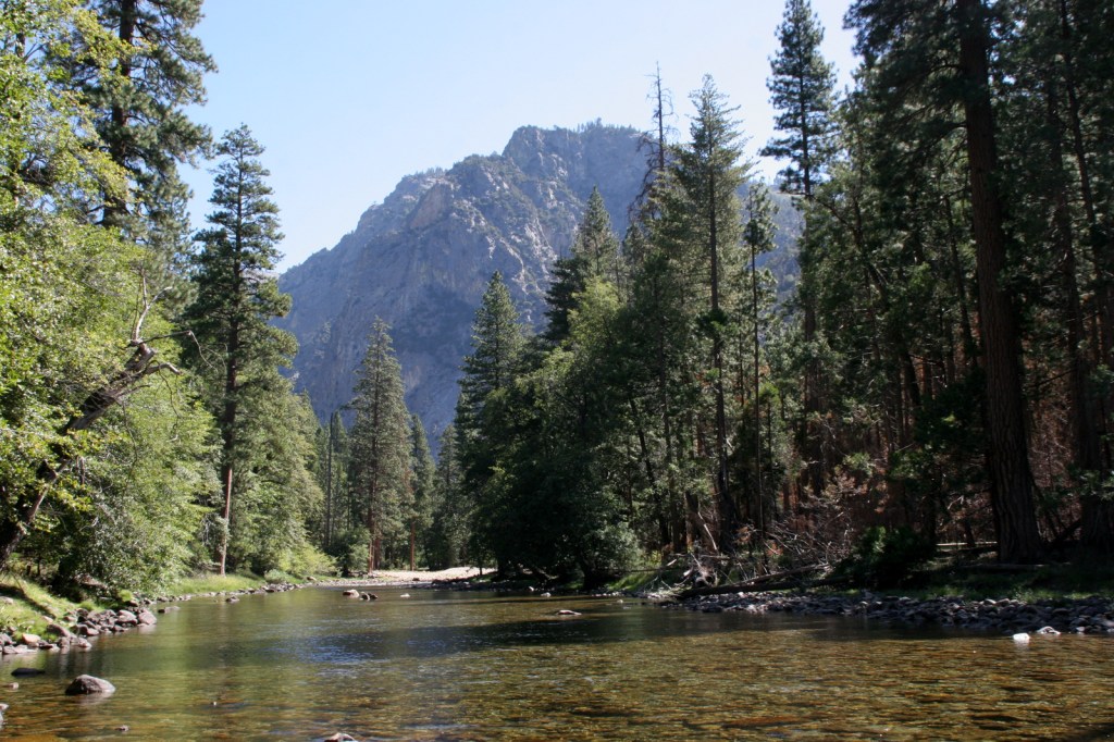
Closed in the winter, the steep and curvy Kings Canyon Scenic Byway is a paved road that always makes us feel a little nauseous due to the elevation change.  Not far upstream from hectic Cedar Grove Village, a smooth section of the South Fork Kings River is traced by a quiet one-way dirt road that meanders through the forest on the north bank. 

Camping

The National Park Service runs several large campgrounds clustered around Grant Grove and Cedar Grove.  Sequoia National Forest also offers several campgrounds between these two separate sections of the park, including a nice one along the shores of Hume Lake.

Related Sites

Yosemite National Park (California)

Giant Sequoia National Monument (California)

Inyo National Forest (California)

Sequoia National Park (California)
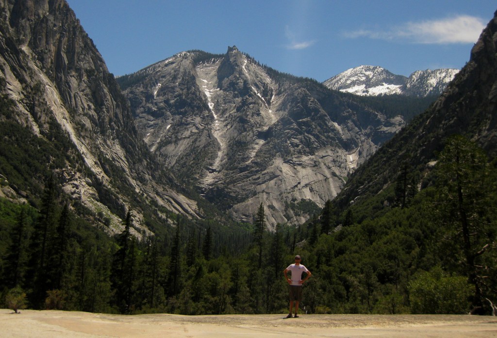
Explore More – How long is the popular Rae Lakes Loop backpacking route, which can also be accessed from the east through Inyo National Forest over Kearsarge Pass?

Cover of the book 'A Park to Yourself: Finding Solitude in America's 63 National Parks, Expanded 2nd Edition' by Scott Sink, PhD and Tiff Sink, MPH, featuring a narrow canyon with a person walking inside.

Know someone who loves National Parks? Gift them our travel guidebook A Park to Yourself: Finding Solitude in America’s 63 National Parks. 

Mendocino National Forest

Mendocino National Forest

California

Managed by U.S. Forest Service, Pacific Southwest Region

1,079,850 acres (911,733 federal/ 168,117 other)

Website: https://www.fs.usda.gov/r05/mendocino

Overview

Originally called California National Forest in 1908, this area between Interstate 5 and Highway 101 was renamed Mendocino National Forest 24 years later.  It stretches north-south along the Coast Range covering parts of six counties north of San Francisco.  Similar to Los Padres National Forest, it contains rocky serpentine ridgelines where only specially adapted plants can tolerate the heavy metals in the soil, like Sargent cypress and the shorter McNab cypress.  Both species can be found along Frenzel Creek near Little Stoney Campground.  In 1953, a Forest Service employee and 14 volunteer firefighters died in the Rattlesnake Fire and a memorial overlooking Rattlesnake Canyon is located off Forest Highway 7 on Alder Springs Road.  Mendocino National Forest includes the northern portion of Berryessa Snow Mountain National Monument (see our full blog post), established in 2015 and administered in cooperation with the Bureau of Land Management.

Know someone who loves the National Forests? Gift them our travel guidebook Out in the Woods so they can learn more about all 155 National Forests.

Highlights

Berryessa Snow Mountain National Monument, Lake Pillsbury, Thomes Gorge, Hull Mountain, Frenzel Creek, Harvey Peak, Ide’s Cove Trail

Must-Do Activity

There are 18 National Forests in California (the most of any state), but Mendocino is the only one not crossed by a paved highway.  It is a wonderful destination for outdoor recreation, both motorized and non-motorized, including Hull Mountain which is popular with hang gliders.  Lake Pillsbury is 2,280 acres and offers boat ramps, campgrounds, and a resort, while 35-acre Letts Lake has a campground and access to hiking trails.

Best Trail

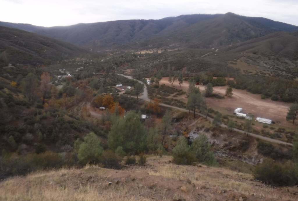
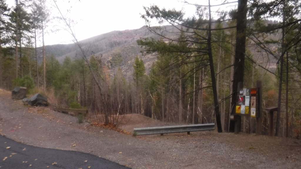
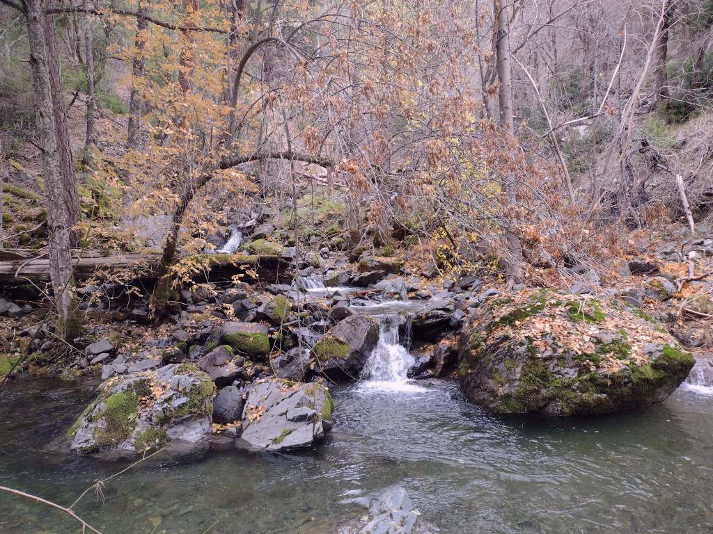
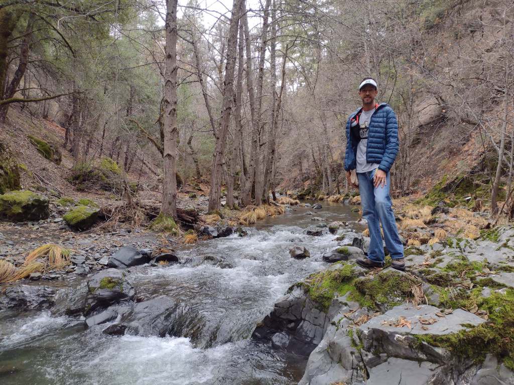
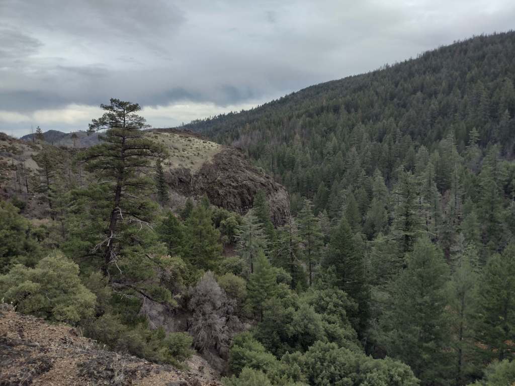
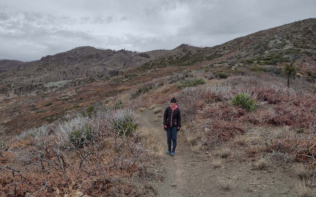
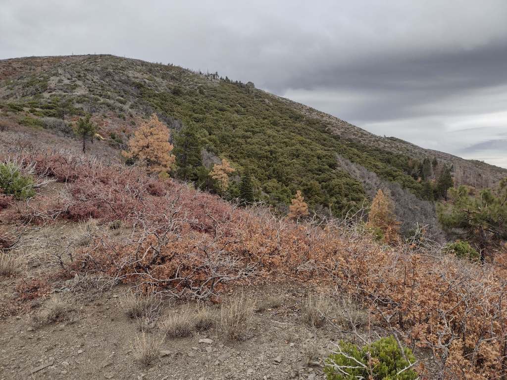
As we drove the winding road from Stonyford to the tiny roadside pullout for Deafy Glade Trail, we passed campgrounds full of RVs that were getting ready for a motorcycle event.  Our hike took us far from any road noise, as we dropped down to and waded across the frigid South Fork of Stony Creek and then climbed steeply to 5,300 feet in elevation.  The trail continued to the summit of 7,056-foot Snow Mountain, but we already had great views of the Rice Valley and decided to turn around at the 4.5-mile point, just inside the official boundary of the Snow Mountain Wilderness.  We expected a desolate landscape after reading about recent fires, but about three-quarters of the trees along the trail were still alive and showed only minor charring at their bases.

Watchable Wildlife

Mendocino National Forest protects a biodiverse area home to tule elk, black-tailed deer, river otters, black bears, and mountain lions.  Rivers that drain these highlands are used by California coastal chinook salmon and Northern California steelhead.  Fishing in the lakes is a popular activity and a chance to see ospreys and bald eagles.

Photographic Opportunity

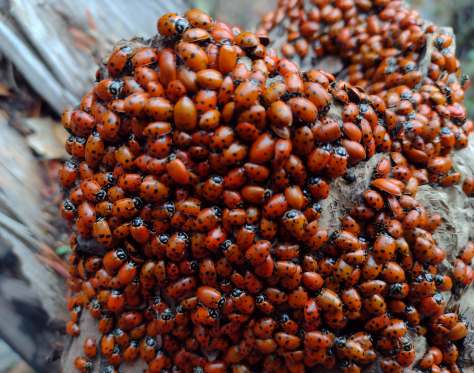
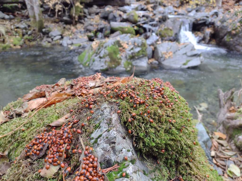
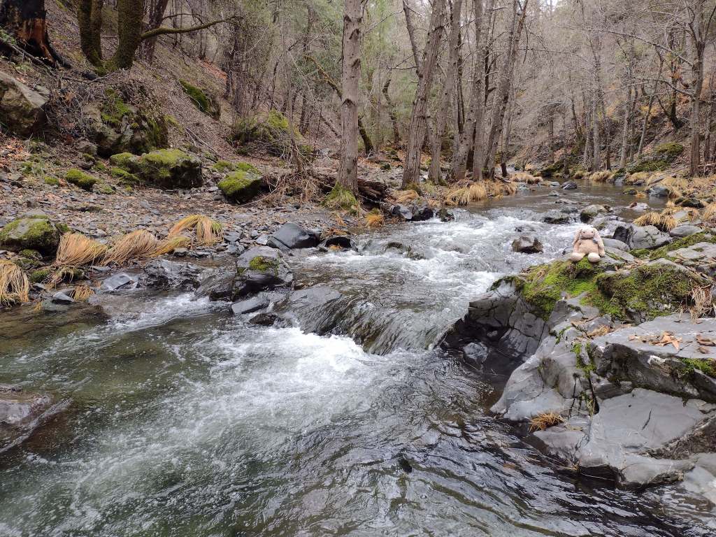
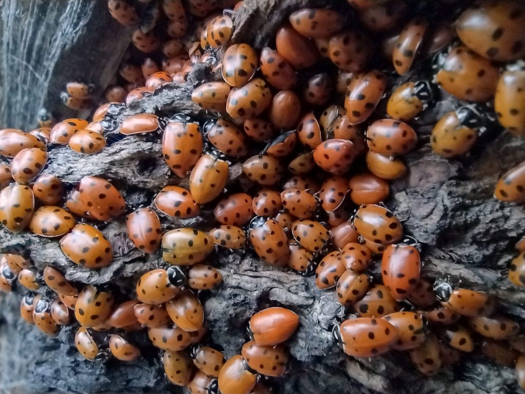
On Deafy Glade Trail, there were congregations of lady bugs that numbered in the hundreds along the South Fork of Stony Creek.

Peak Season

Summer

Fees

None

Road Conditions

Fouts Springs Road (Forest Road M10) is a well-maintained gravel road that crosses the National Forest west of Stonyford.  That area is popular with motorcycles and OHVs, so keep an eye out for them while driving. 

Camping

Mendocino National Forest manages Bear Creek Campground and Lower Nye Dispersed Campground among many others, plus there are countless places for dispersed camping. 

Wilderness Areas

Sanhedrin Wilderness

Snow Mountain Wilderness

Yolla Bolly-Middle Eel Wilderness (also in Six Rivers and Trinity National Forests)

Yuki Wilderness (also run by the Bureau of Land Management)

Related Sites

Berryessa Snow Mountain National Monument (California)

Lassen National Forest (California)

Point Reyes National Seashore (California)

Nearest National Park

Redwood

Conifer Tree Species

Douglas-fir, red fir, white fir, ponderosa pine, sugar pine, gray pine, Sargent cypress, McNab cypress

Flowering Tree Species

western redbud, interior live oak, tanoak, Pacific madrone

Explore More – In 1542, Cape Mendocino was named by explorer Roderiques de Cabrillo to honor whom?

Learn more about this and the 154 other National Forests in our travel guidebook Out in the Woods

Los Padres National Forest

Los Padres National Forest

California

Managed by U.S. Forest Service, Pacific Southwest Region

1,963,836 acres (1,762,767 federal/ 201,069 other)

Website: http://www.fs.usda.gov/r05/lospadres

Overview

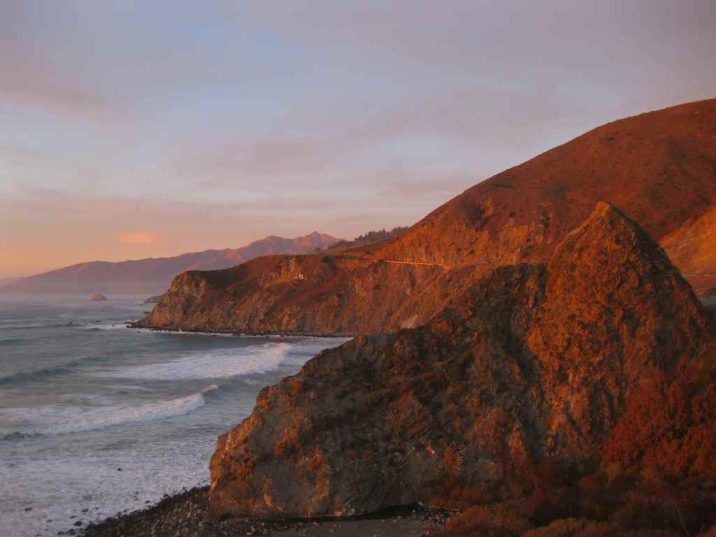
Los Padres National Forest stretches more than 200 miles from Monterrey south beyond Santa Barbara.  It contains most of Big Sur, a name that conjures images of craggy cliffs dropping precipitously into white-capped ocean waves.  This sparsely inhabited stretch of coastline is known as much for its historic bohemians as its coast redwood trees.  It is home to multiple rare tree species with limited native ranges, especially those that can tolerate serpentine soils.  As the only National Forest in California that touches the Pacific Ocean, a road trip down scenic Highway 1 should be on everyone’s bucket list, including stops at Julia Pfeiffer Burns State Park, Bixby Creek Bridge, Hearst Castle State Park, and the elephant seal rookery at Piedras Blancas.  We have hiked many trails here since Scott taught for three years at Cal Poly State University in San Luis Obispo.

Know someone who loves the National Forests? Gift them our travel guidebook Out in the Woods so they can learn more about this and the 154 other National Forests.

Highlights

Big Sur, Sykes Hot Springs, Salmon Creek Falls, Jade Cove, Cuesta Ridge Botanical Area, Figueroa Mountain, Mt. Pinos, Knapp’s Castle, Seven Falls, Sespe Hot Springs

Must-Do Activity

Los Padres National Forest is 48% designated Wilderness, so the recommended activity is to hike into those natural areas.  The Matilija Wilderness is in the Santa Ynez Mountains that loom above the coastal city of Santa Barbara, home to a university, art museum, and historic Presidio built in 1782.  If you go to hike to the ruins of Knapp’s Castle in the National Forest, also make a quick stop at Chumash Painted Cave State Historic Park, which contains colorful pictographs dating back to the 1600s.  Another popular U.S. Forest Service trailhead located closer to town goes either to Inspiration Point or Seven Falls, the latter a better choice on foggy days, which are common on the coast.

Best Trail

There are 323 miles of incredible hiking trails throughout Los Padres National Forest, including a few that access hot springs.  Our favorite trails are in the Santa Lucia Mountains that tower above Big Sur.  One pinnacle accessible by trail is Cone Peak at 5,155 feet in elevation.  The access road is typically closed in the winter, but when it is open the trail is only 2.3 miles to the summit with a vertical gain of 1,400 feet.  Do not expect any shade since multiple fires have burned most of the mountain, although there are still a few surviving examples of the rare Santa Lucia fir tree.  Although some areas are no longer vegetated, the plentiful sunshine above the fog belt means there are often incredible displays of wildflowers along the trail early in summer, including lupine, sticky monkeyflower, and yucca. 

Watchable Wildlife

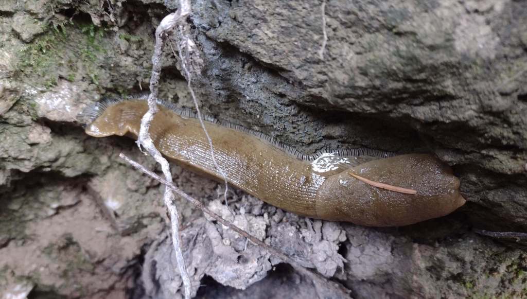
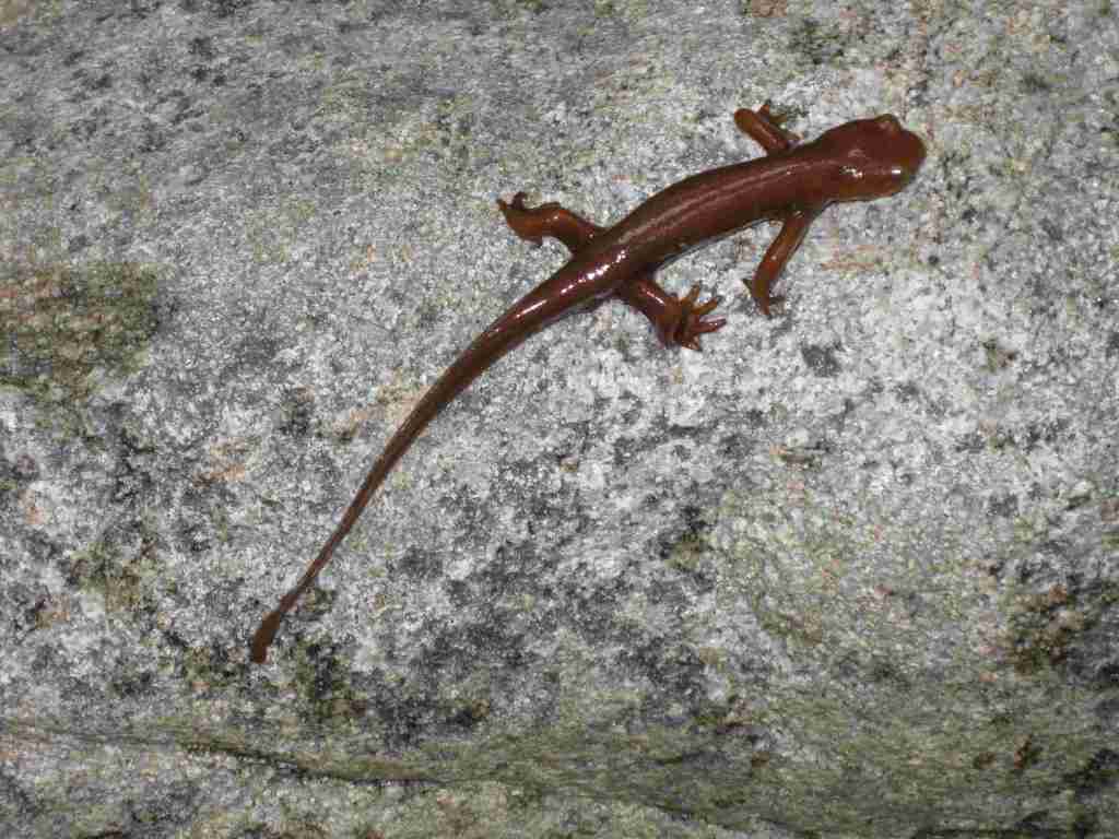
There is a wide range of wildlife found here from sea level up to 8,847 feet in elevation, and the most famous is the reintroduced California condor that nests in the Sespe Condor Sanctuary.  Other birds include barn owls, great horned owls, red-tailed hawks, bald eagles, California quail, and California scrub jays.  Coyotes, black bears, bobcats, mountain lions, black-tailed deer, bighorn sheep, and raccoons are common large mammals.  Species of concern include the foothill yellow-legged frog and California mountain kingsnake.  Look for California newts and banana slugs in the moist understory of coast redwood forests.

Photographic Opportunity

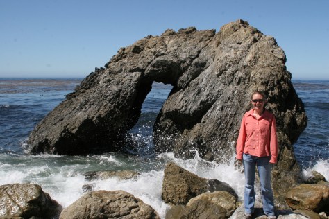
Even if you are not spending the night at Kirk Creek Campground, you can park and walk down the trail to the south that goes past redwood trees to the beach where there is a sea arch and tidepools. 

Peak Season

Fall and winter

Fees

$5 per vehicle Adventure Pass (or America the Beautiful pass) required at most trailheads

Road Conditions

There are some steep unpaved roads in Los Padres National Forest, which can be impassable in wet or snowy conditions.  Portions of the unpaved Tassajara Road to Chews Ridge are narrow and steep, requiring a four-wheel-drive vehicle to reach Tassajara Hot Springs.

Camping

A night spent listening to the ocean waves breaking far below the U.S. Forest Service’s clifftop Kirk Creek Campground is enchanting, which is why it made it on our list of Top 10 Campgrounds in National Forests.  There are 11 campgrounds in total, and a free campfire permit is required if you use a camp stove (which can be obtained online). Sespe Hot Springs is a popular ten-mile one-way backpacking destination.

Wilderness Areas

Chumash Wilderness

Dick Smith Wilderness

Garcia Wilderness

Machesna Mountain Wilderness

Matilija Wilderness

San Rafael Wilderness

Santa Lucia Wilderness

Sespe Wilderness

Silver Peak Wilderness

Ventana Wilderness

Related Sites

Angeles National Forest (California)

Muir Woods National Monument (California)

Point Reyes National Seashore (California)

Channel Islands National Park (California)
Nearest National Park

Pinnacles

Conifer Tree Species

coast redwood, Monterey pine, Coulter pine, gray pine, Jeffrey pine, ponderosa pine, limber pine, bigcone Douglas-fir, Sargent cypress, Monterey cypress, white fir, Santa Lucia fir

Flowering Tree Species

coast live oak, California black oak, tanoak, western redbud, Pacific madrone, manzanita

Explore More – What is the name of the nomadic group that lived in Big Sur dating back 5,500 years ago?

Know someone who loves the National Forests? Gift them our travel guidebook Out in the Woods so they can learn more about this and the 154 other National Forests.

Kootenai National Forest

Kootenai National Forest

Montana, Idaho

Managed by U.S. Forest Service, Northern Region

2,145,268 acres (1,812,380 federal/ 332,888 other)

Website: https://www.fs.usda.gov/kootenai

Overview

In northwest Montana, Kootenai National Forest includes parts of the Cabinet, Purcell, Salish, Selkirk, and Whitefish Mountains on the border of Canada.  In 1975, the 422-foot-tall Libby Dam on the Kootenai River created 90-mile-long international Lake Koocanusa (a contraction of Kootenai-Canada-U.S.A.).  Elevations in Kootenai National Forest range from 1,832 feet up to 8,738-foot Snowshoe Peak in the Cabinet Mountains Wilderness, encompassing a variety of habitats from subalpine meadows to arid plains with cacti.

Highlights

Lake Koocanusa Scenic Byway, Northwest Peak Scenic Area, McGregor Lake, Yaak Falls, Ten Lakes Scenic Area, Ross Creek Cedar Grove Scenic Area, Loon Lake, Tenmile Falls, Bluebird Basin Trail, Vinal McHenry Boulder National Recreation Trail, Pacific Northwest National Scenic Trail

Must-Do Activity

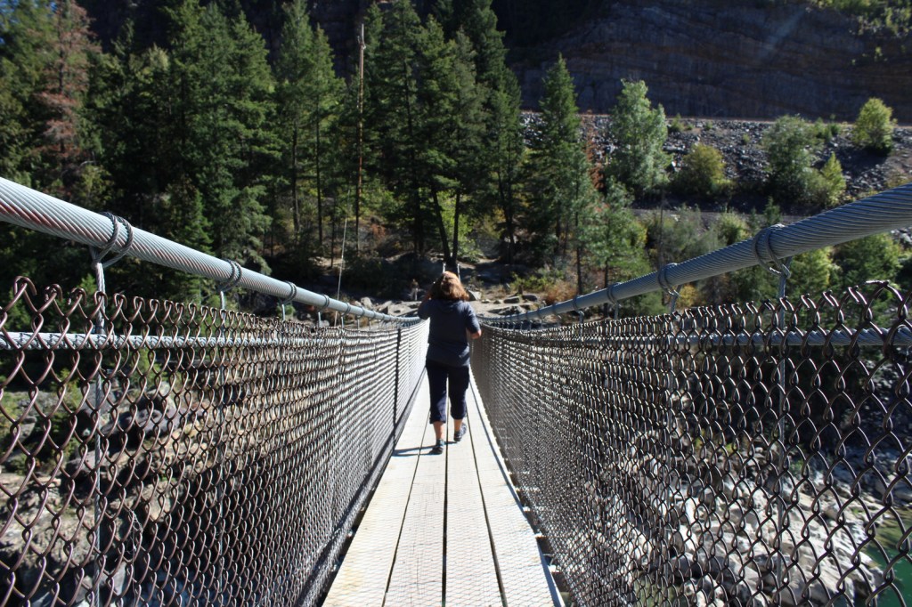
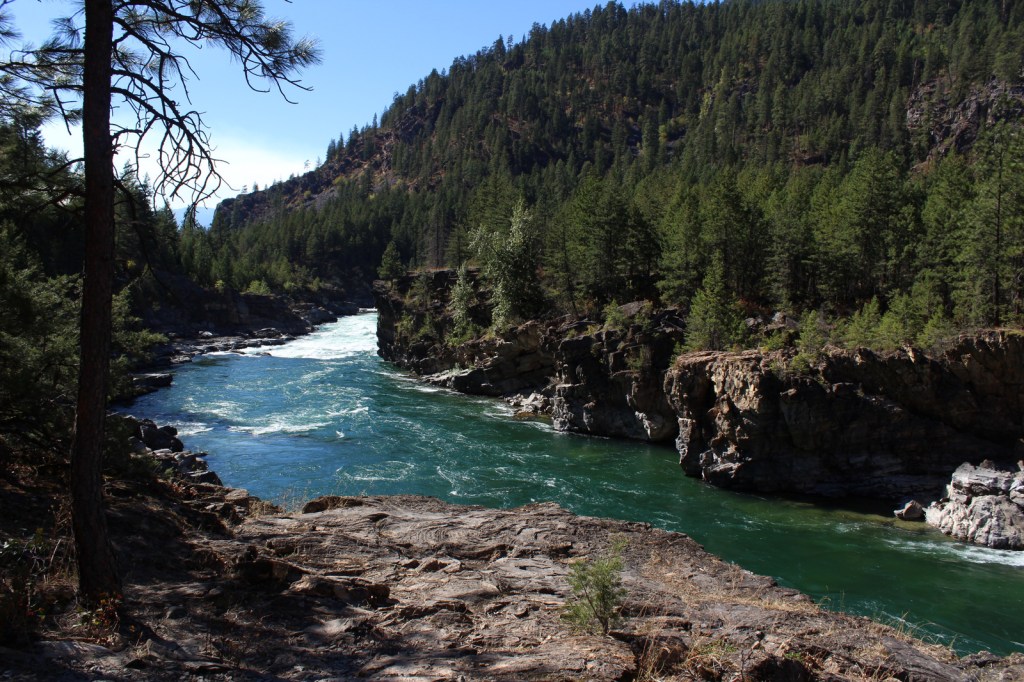
There are more than 1,200 miles of trails in Kootenai National Forest, including 90 miles of the Pacific Northwest National Scenic Trail.  Two of the best places to hike are the Northwest Peak and Ten Lakes Scenic Areas, in the remote upper corners of the National Forest.  Outside of Libby, Montana, Blue Mountain Trail (1.5 miles one-way), Skyline National Recreation Trail (22 miles), and Scenery Mountain Lookout Trail (2.5 miles) all climb to incredible overlooks.  At Kootenai Falls (see Photographic Opportunity), a new suspension bridge crosses the Kootenai River to Forest Service land on the north shore.  From there, Koot Creek Canyon Trail travels another three miles to a dirt road in Kootenai National Forest.

Best Trail

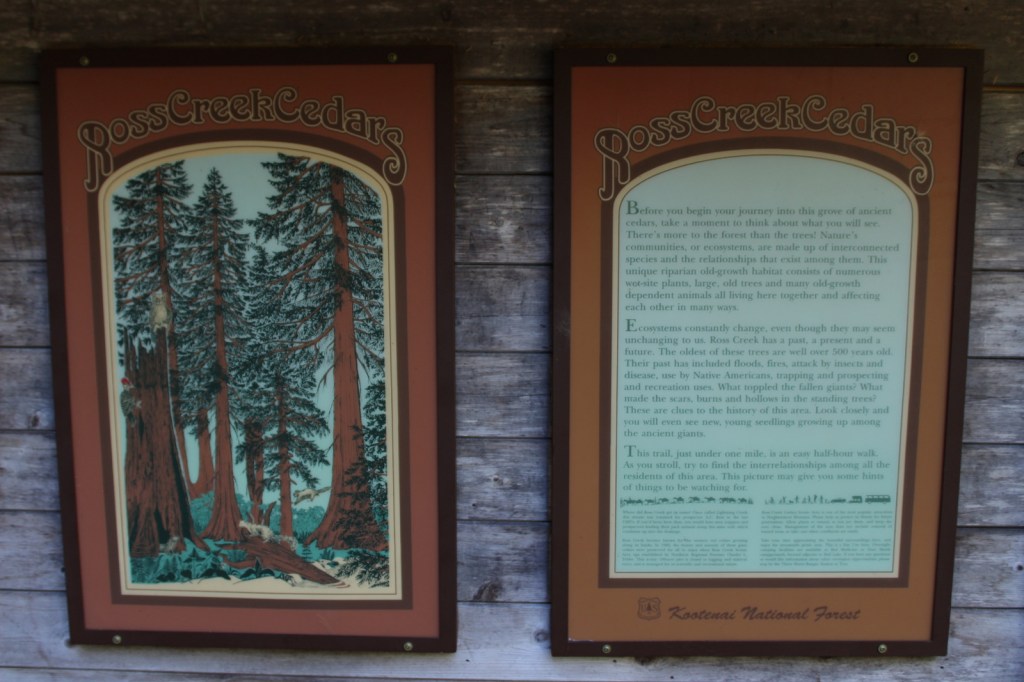
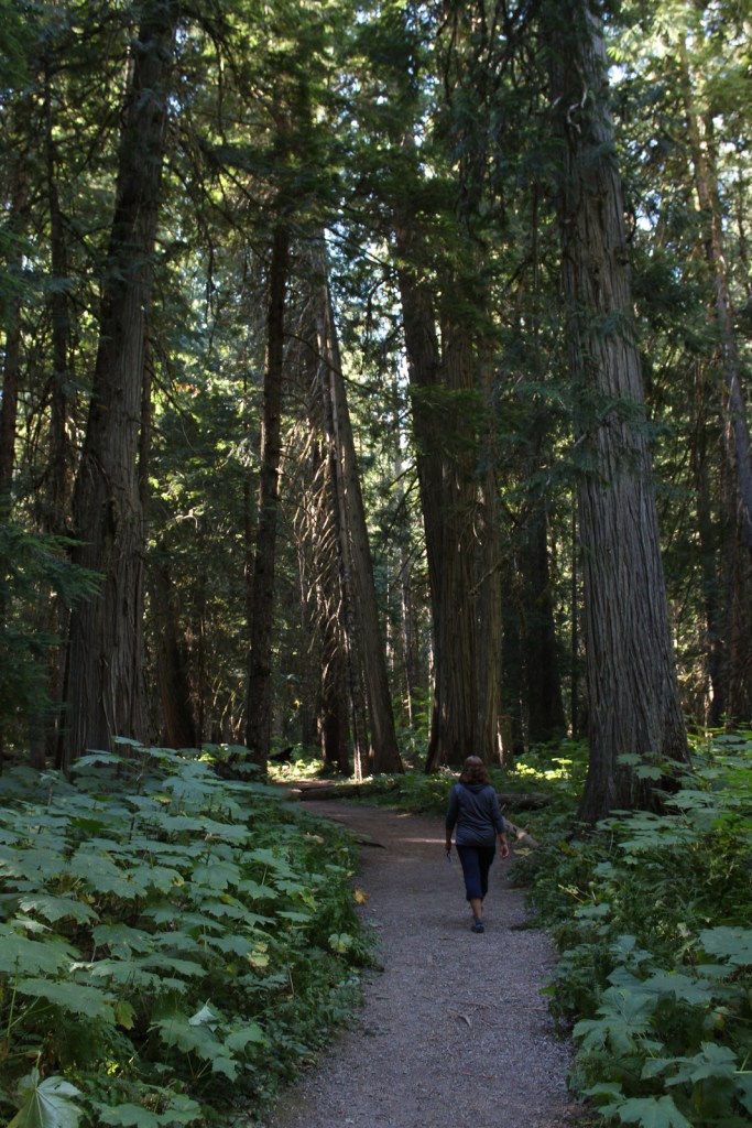
In 1959, Ross Creek Cedar Grove Scenic Area preserved 101 acres of western redcedar trees up to eight feet in diameter.  A one-lane paved road with pullouts leads 4.3 miles from Highway 56 to a large parking area with a day-use fee.  The main trail is a less than one-mile loop with interpretive signs, but continues five miles to the North Fork of Ross Creek.  The old-growth forest is also home to large Douglas-fir, Engelmann spruce, grand fir, and western hemlock trees growing above a lush green understory of ferns and Devil’s-club.

Watchable Wildlife

The mountains provide habitat for grizzly bears, black bears, Canada lynxes, bobcats, mountain lions, wolverines, mink, pine martens, long-tailed weasels, porcupines, snowshoe hares, pika, moose, bighorn sheep, and mountain goats.  Hoskins Lake is a wintering range for mule deer and white-tailed deer, as well as an osprey nesting area in the summer.  The National Forest’s numerous rivers and more than 100 lakes support gamefish like cutthroat, rainbow, brown, and endangered bull trout.  The endangered white sturgeon is also found in this area.

Photographic Opportunity

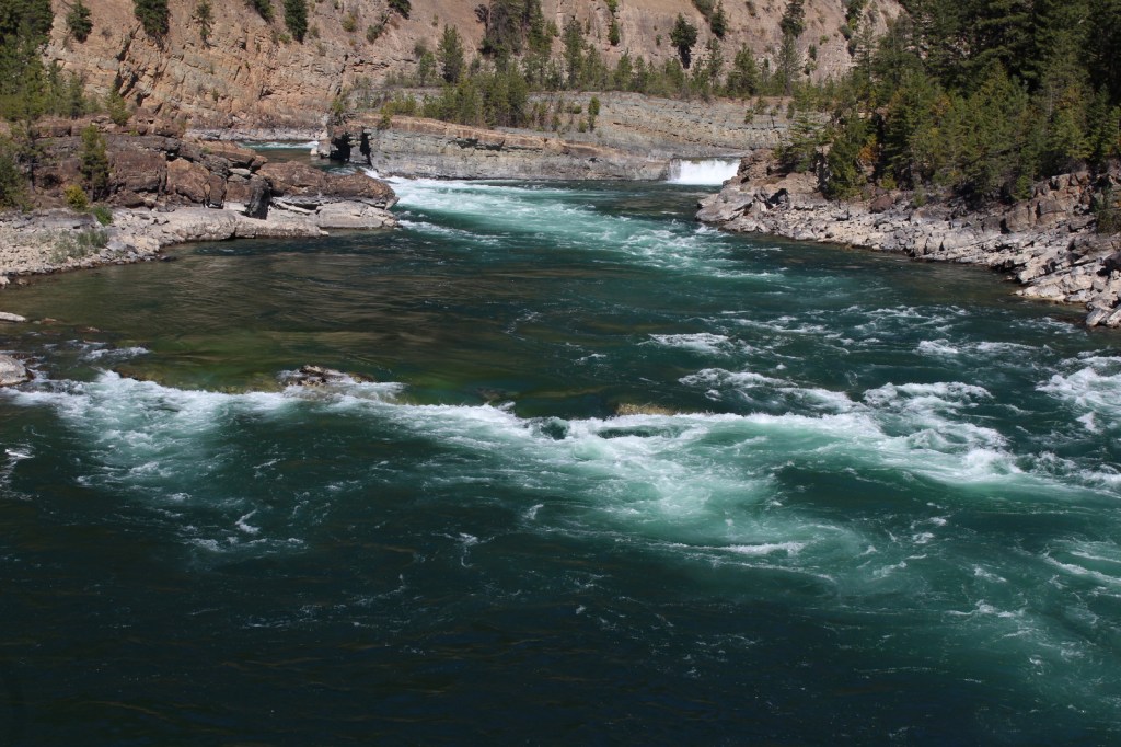
Located in a county park on the side of Highway 2, Kootenai Falls is only about 20 feet tall, but it is impressively wide and beautiful.  An overlook is located one-tenth of a mile from the parking lot, but there is also a walking bridge that crosses over the railroad tracks to a viewpoint at the edge of the falls, and a suspension bridge only a quarter-mile further downstream.

Peak Season

Summer

Fees

Ross Creek Cedar Grove Scenic Area has a day-use fee (or the America the Beautiful pass is also accepted).

Road Conditions

Paved roads like the Lake Koocanusa Scenic Byway, U.S. Highway 2, and State Highway 56 make it easy to explore Kootenai National Forest.  To access Ross Creek Cedar Grove Scenic Area, a one-lane paved road with pullouts leads 4.3 miles from Highway 56.  A nice drive through the Purcell Mountains can be made by looping State Route 508 and Forest Road 68.

Camping

There are Forest Service campgrounds at Kilbrennan Lake, Loon Lake, Rexford Branch, Caribou, Red Top, Whitetail, Pete Creek, Howard Lake, and elsewhere.  Big Creek Baldy Mountain lookout cabin can be rented, too.

Wilderness Areas

Cabinet Mountains Wilderness (also in Kaniksu National Forest)

Related Sites

Kaniksu National Forest (Idaho-Montana-Washington)

Bitterroot National Forest (Montana-Idaho)

Coeur d’Alene National Forest (Idaho)

Nearest National Park

Glacier

Conifer Tree Species

lodgepole pine, whitebark pine, ponderosa pine, Douglas-fir, western hemlock, western redcedar, , western larch, alpine larch, Engelmann spruce, subalpine fir, grand fir

Flowering Tree Species

Rocky Mountain maple, boxelder, quaking aspen, balsam poplar, dwarf birch, paper birch, Piper’s hawthorn, Bebb willow, western mountain-ash, choke cherry, western serviceberry

Explore More – The Kootenai (or Kootenay in Canada) River is named after the local Ktunaxa Indians, which translates as what in the Algonquian language?

Learn more about this and the 154 other National Forests in our new guidebook Out in the Woods

We are a participant in the Amazon Services LLC Associates Program, an affiliate advertising program designed to provide a means for us to earn fees by linking to Amazon.com and affiliated sites.

Klamath National Forest

Klamath National Forest

California, Oregon

Managed by U.S. Forest Service, Pacific Southwest Region

1,913,264 acres (1,737,774 federal/ 175,490 other)

Website: https://www.fs.usda.gov/klamath

Overview

Split into two separate sections by Interstate 5, Klamath National Forest is spread across the Marble, Salmon, Scott, and Siskiyou Mountains of northern California, with less than 2% of its acreage across the border in Oregon.  The National Forest headquarters is located in Yreka on Interstate 5, from where the Forest Service also manages the small Butte Valley National Grassland.  In this remote portion of California, Klamath National Forest borders Modoc, Rogue River, Siskiyou, Six Rivers, Shasta, and Trinity National Forests.  It contains 152 miles of designated National Wild and Scenic Rivers, including some popular for fishing and rafting, like the Klamath River.

Highlights

Horsetail Falls, Kangaroo Lake, Sawyers Bar Catholic Church, Sur Cree Falls, Crater Glass Flow, Panhandle Lake, Chimney Rock, Diamond Lake, Juanita Lake, Cedar Mountain, Kelly Lake, East Boulder Trail, Taylor Lake Trail, Clear Creek National Recreation Trail, Pacific Crest National Scenic Trail

Must-Do Activity

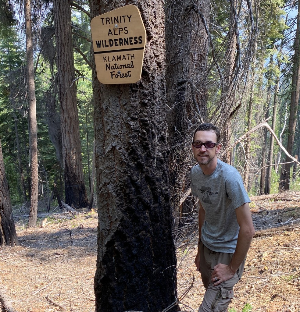
The mountainous western portion of Klamath National is home to several designated Wilderness areas that offer excellent hiking and backpacking (as well as a long stretch of the Pacific Crest National Scenic Trail).  In the Siskiyou Wilderness, a quarter-mile hike leads to Kelly Lake with picnic tables at both ends and an option to continue hiking three miles to a beautiful meadow near Poker Flat.  From the Shackleford Creek Trailhead, a trail follows the creek into the Marble Mountain Wilderness to Log Lake (three miles) and Campbell Lake (4.3 miles).  Russian Lake in the Russian Wilderness is heavily visited, although it is a difficult 4.5-mile hike from the Deacon Lee Trailhead.  Many trails enter the Trinity Alps Wilderness, such as East Boulder (see Best Hike) and Carter Meadows Summit, as well as Long Gulch and Trail Gulch (which together can be a turned into thru-hike with a two-car shuttle)

Best Trail

A popular destination for day hikers, East Boulder Lake is accessed by a 1.7-mile one-way trail that climbs 1,000 feet into the northern Trinity Alps Wilderness.  Due to the number of user trails around the lake, it is difficult to navigate to the 7,100-foot pass, but continue southeast past Upper Boulder Lake and keep heading uphill to locate it.  It is 1.2 miles past East Boulder Lake to the junction with the Pacific Crest National Scenic Trail that runs east-west following the summits of the Scott Mountains (in Shasta National Forest).  It is possible to turn this into a loop hike by connecting with the Middle Boulder Trail and Boulder Tie Trail. 

Watchable Wildlife

Elevations in Klamath National Forest range from 900 to nearly 9,000 feet supporting a variety of ecosystems, including 168,000 acres of old-growth forest.  Large mammals found here include black bears, mountain lions, bobcats, coyotes, foxes, pine martens, skunks, raccoons, mule deer, and possibly gray wolves.  Fishing for rainbow trout, steelhead, and salmon is a major draw to Klamath National Forest with its countless lakes and major rivers like the Klamath, Salmon, Scott, and Trinity. 

Photographic Opportunity

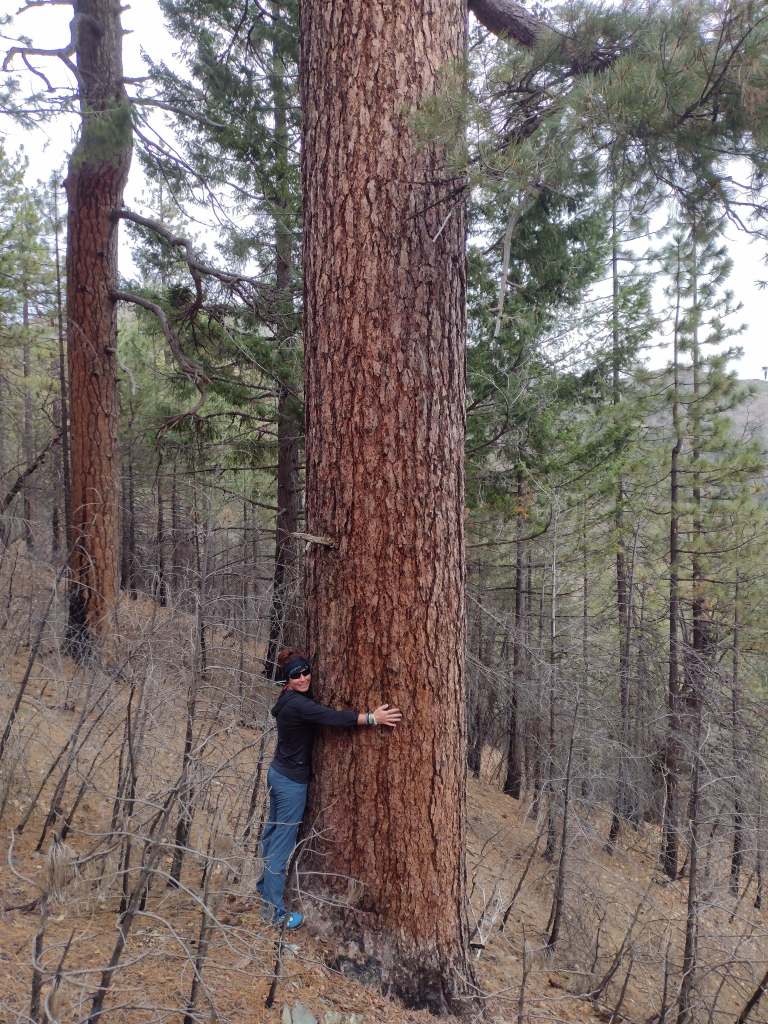
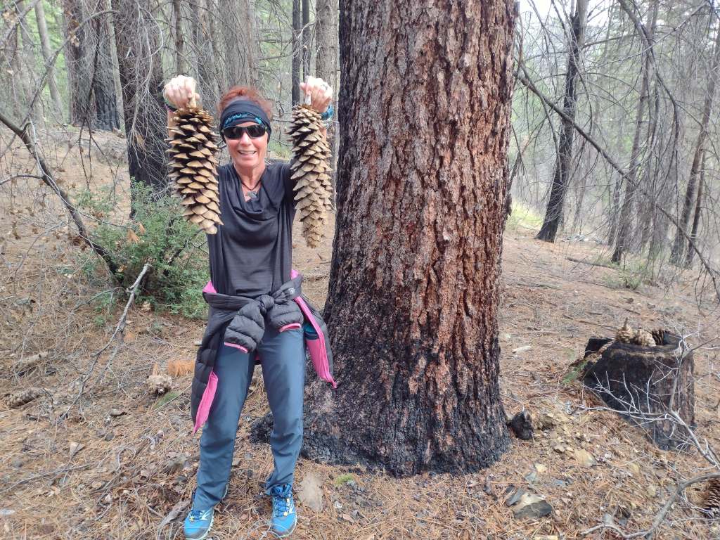
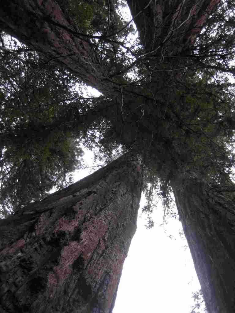
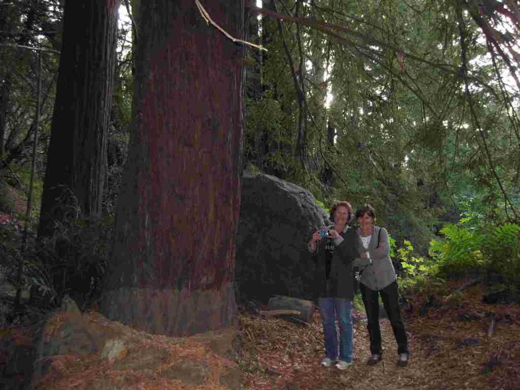
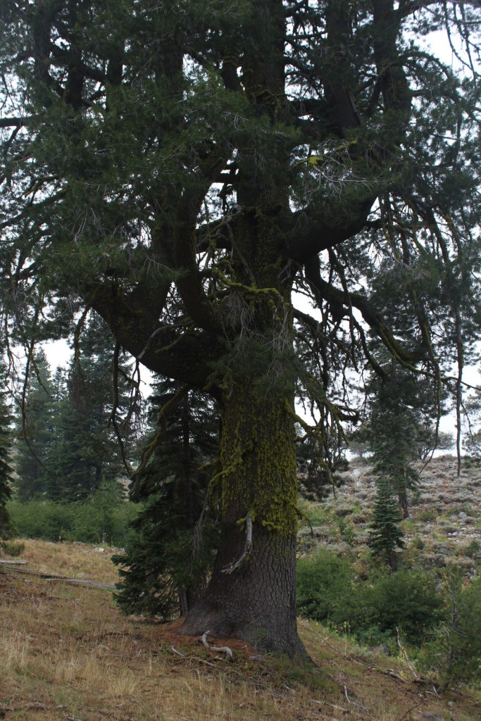
The abundant rainfall that soaks the coastal mountains of California allows conifer trees to reach impressive diameters, like this ponderosa pine we found in the Trinity Alps Wilderness.

Peak Season

Summer

Fees

A free Wilderness Entry Permit is required for overnight trips in the popular Trinity Alps Wilderness where group size is limited to ten people.

Road Conditions

Twisty but paved State Route 96 traverses the western part of the National Forest providing access to the Klamath River, trailheads for the Wilderness areas, and campgrounds.  East Boulder Trailhead is located 7.8 miles from the town of Callahan, which is in a remote part of California north of Clair Engle Lake.  A high-clearance vehicle may help, but is not required for the unpaved final part of the drive.  In the remote eastern portion of the National Forest, a scenic back road travels six miles from Laird’s Camp over Gold Digger Pass near Lava Beds National Monument.

Camping

There are several campgrounds located along paved State Route 96, including Tree of Heaven, Totten, Rocky Bar, and Sulphur Springs (where Elk Creek Trail is a shady two-mile hike to a picnic area by the creek).  In the National Forest’s eastern portion, Juanita Lake Campground has a 1.5 mile paved, barrier-free trail that circles the lake. 

Wilderness Areas

Marble Mountain Wilderness

Red Buttes Wilderness

Russian Wilderness

Siskiyou Wilderness (also in Six Rivers National Forest)

Trinity Alps Wilderness (also in Shasta, Six Rivers, and Trinity National Forests)

Related Sites

Butte Valley National Grassland (California)

Lava Beds National Monument (California)

Oregon Caves National Monument and Preserve (Oregon)

Nearest National Park

Redwood

Conifer Tree Species

ponderosa pine, Jeffrey pine, whitebark pine, foxtail pine, Douglas-fir, incense-cedar, western juniper, red fir, white fir, silver fir

Flowering Tree Species

Pacific madrone, California-laurel, elderberry, curlleaf mountain mahogany, sagebrush

Explore More – How many species of conifers (or Gymnosperms) have been recorded in the Russian Wilderness, possibly the most biodiverse spot for these plants in California, if not the world?

Learn more about this and the 154 other National Forests in our new guidebook Out in the Woods

We are a participant in the Amazon Services LLC Associates Program, an affiliate advertising program designed to provide a means for us to earn fees by linking to Amazon.com and affiliated sites.