Top 10 of the 63 National Parks for Multiple Return Visits

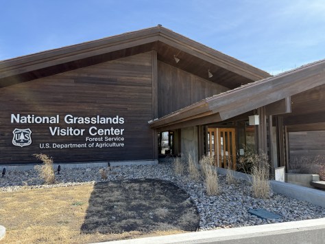
For years I have been helping my Mom visit National Parks and she enjoys seeing new places and adding a sticker to her National Parks water bottle.  In June 2025, together we finally made it to Kobuk Valley National Park in Alaska (my last of the 63 National Parks and 401 of 433 NPS sites).  Recently we went to Big Bend National Park, number 55 of 63 for her.  It was my third visit there, but I hiked several new trails and it made me think about how there are so many different places to explore in some of the National Parks.  I have returned to most of the parks in researching my travel guidebooks, so I thought I would make a list of my favorite ones that I keep going back to.  I was surprised how the list varied from my rankings of the Top 10 National Parks and Top 10 National Parks for Hiking (click here to see all our Top 10 Lists).

If you or someone you love are interested in visiting the 63 National Parks, our travel guidebook A Park to Yourself makes a great gift!

10. Olympic (Washington)

So many trails to hike through ecosystems ranging from the coast to the alpine regions; after multiple visits, I am still hoping to make it to Staircase someday.

9. Yosemite (California)

You have to come in multiple seasons because spring is best for waterfall flow, Glacier Point and Tuolumne Meadows are closed in the winter, Half Dome has chains in the summer (reservations required), and Horsetail Fall only glows at sunset in late February (reservations required).

8. Great Smoky Mountains (Tennessee-North Carolina)

Countless trails to waterfalls (if you can find a parking spot), amazing fall foliage, the seasonal road closure to Clingman’s Dome, and backpacking the Appalachian National Scenic Trail all mean this a year round destination. 

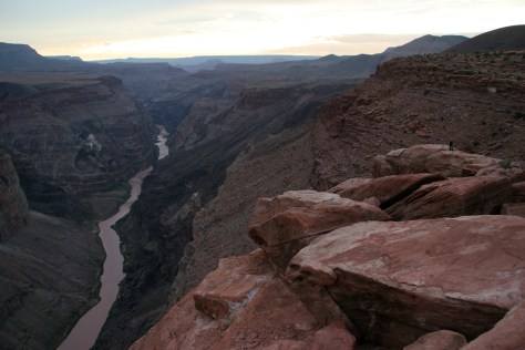
7. Grand Canyon (Arizona)

It takes good planning to visit both the North and South Rims in one trip, plus it is worth the long drive to see Toroweap (free online permit required).  If you are able, hike to the bottom of the canyon or take a long float trip on the Colorado River.

6. Mammoth Cave (Kentucky)

There are many different cave tours to choose from and miles of trails to hike or backpack, plus opportunities to float the Green River.

5. Death Valley (California)

In my many visits I have avoided the summer, which is the only time to drive up to Telescope Peak, so I still need to return for that experience.

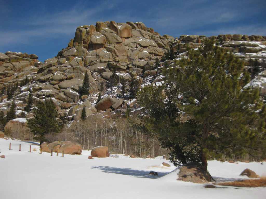
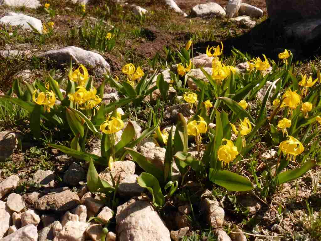
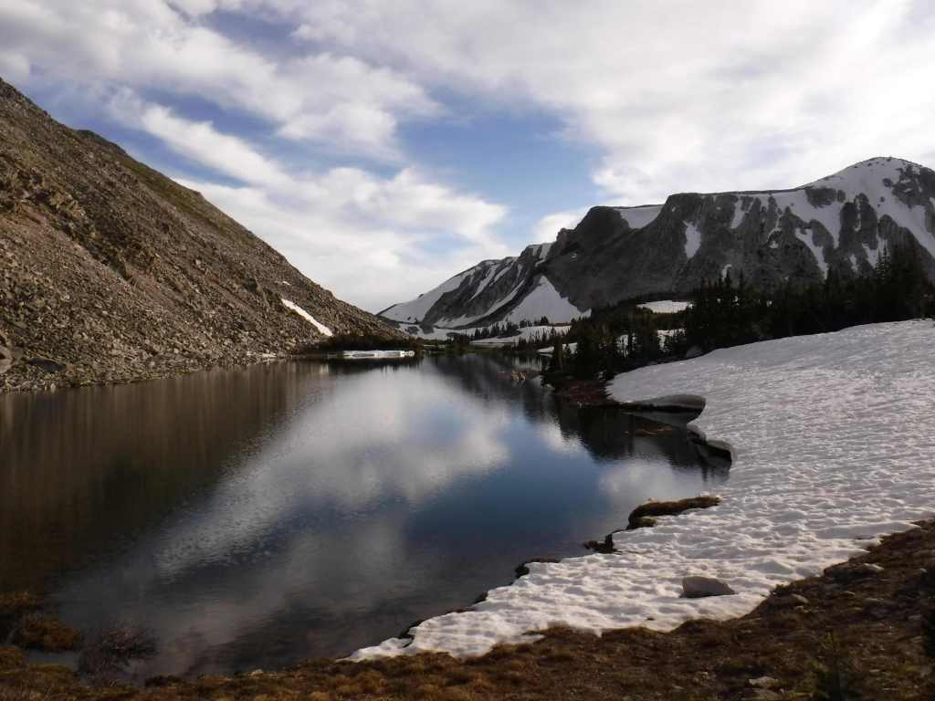
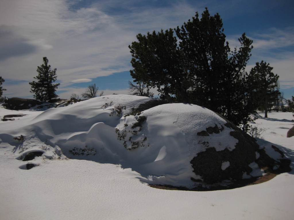
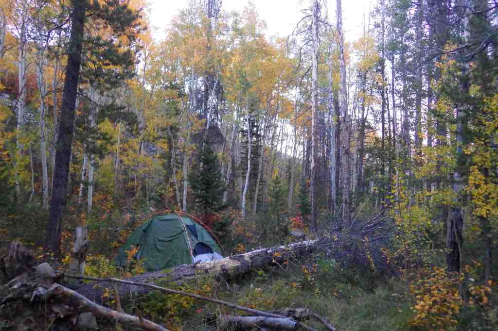
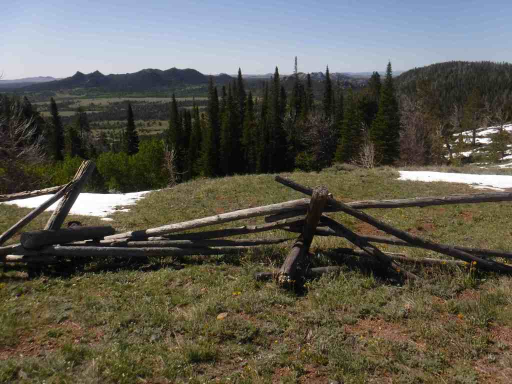
4.  Rocky Mountain (Colorado)

The road across the park closes in the winter, when snowshoeing is still possible from many trailheads on both the west and east sides.  High elevations open up for exploration after spring snowmelt, as does the Continental Divide National Scenic Trail.
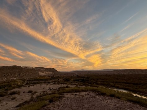
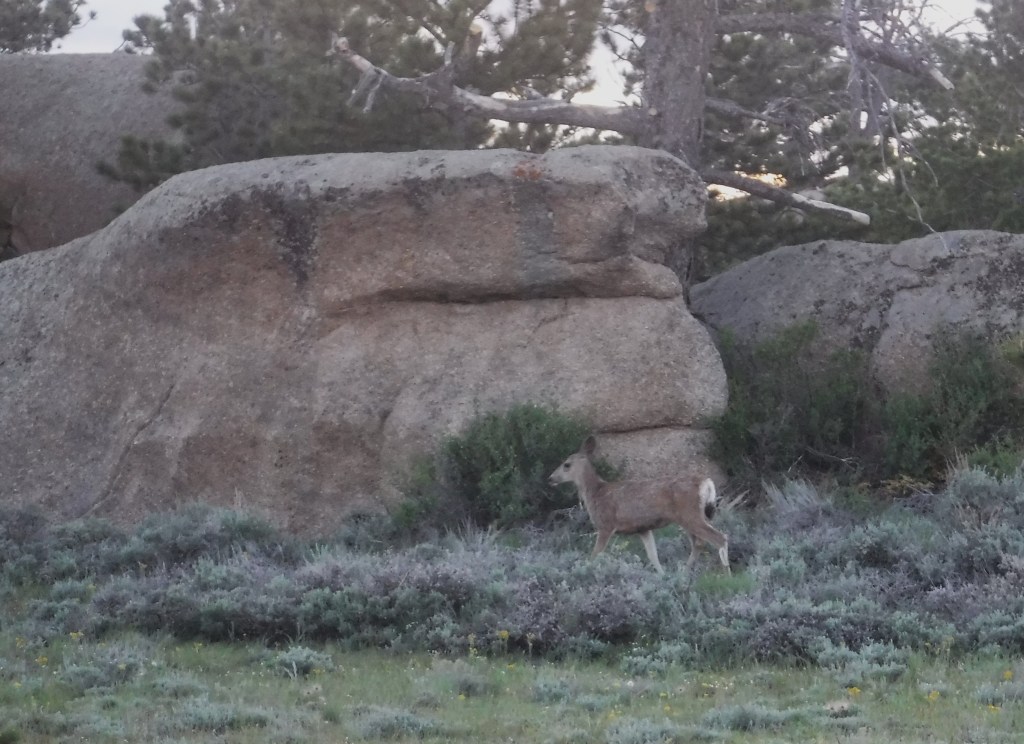
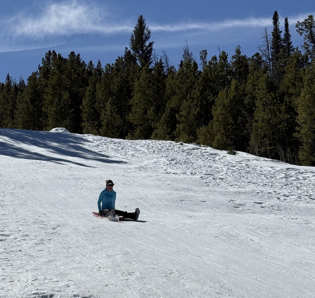
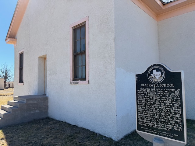
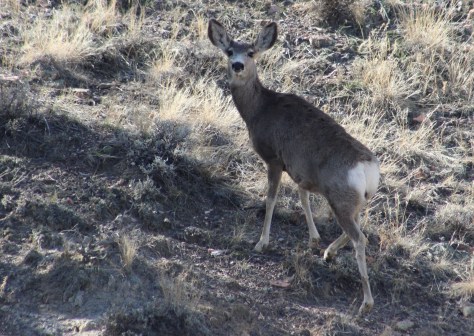
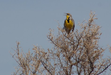
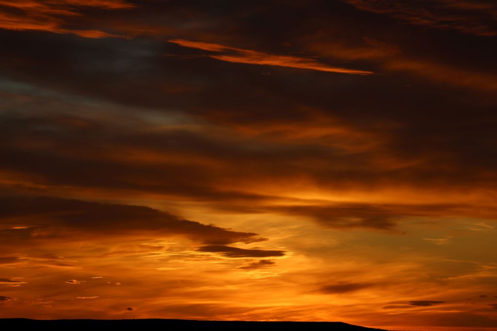
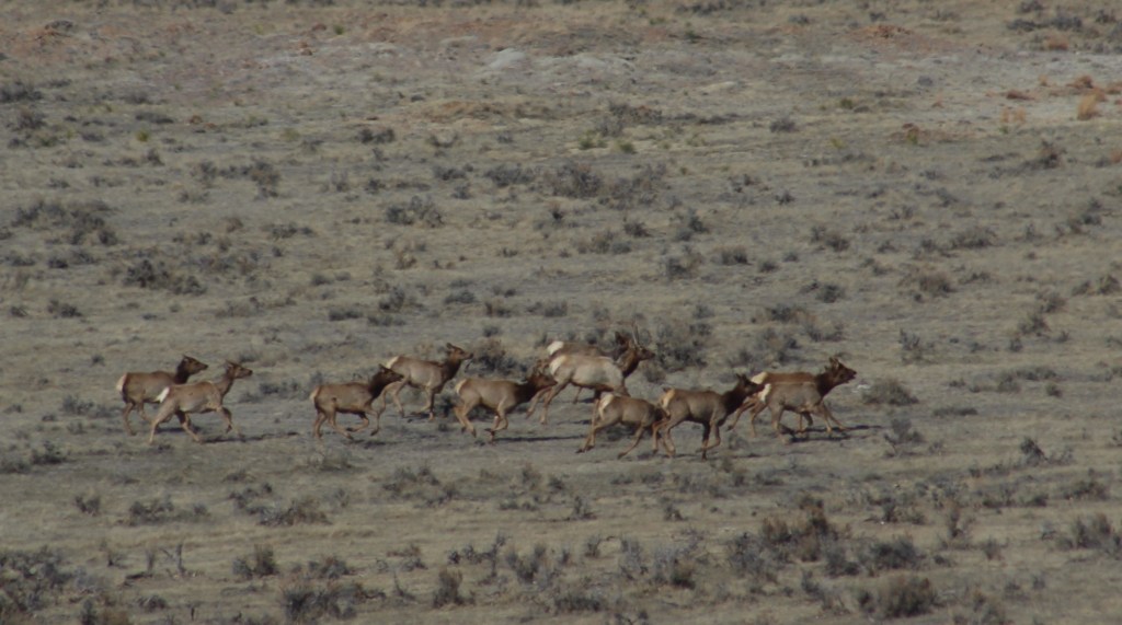
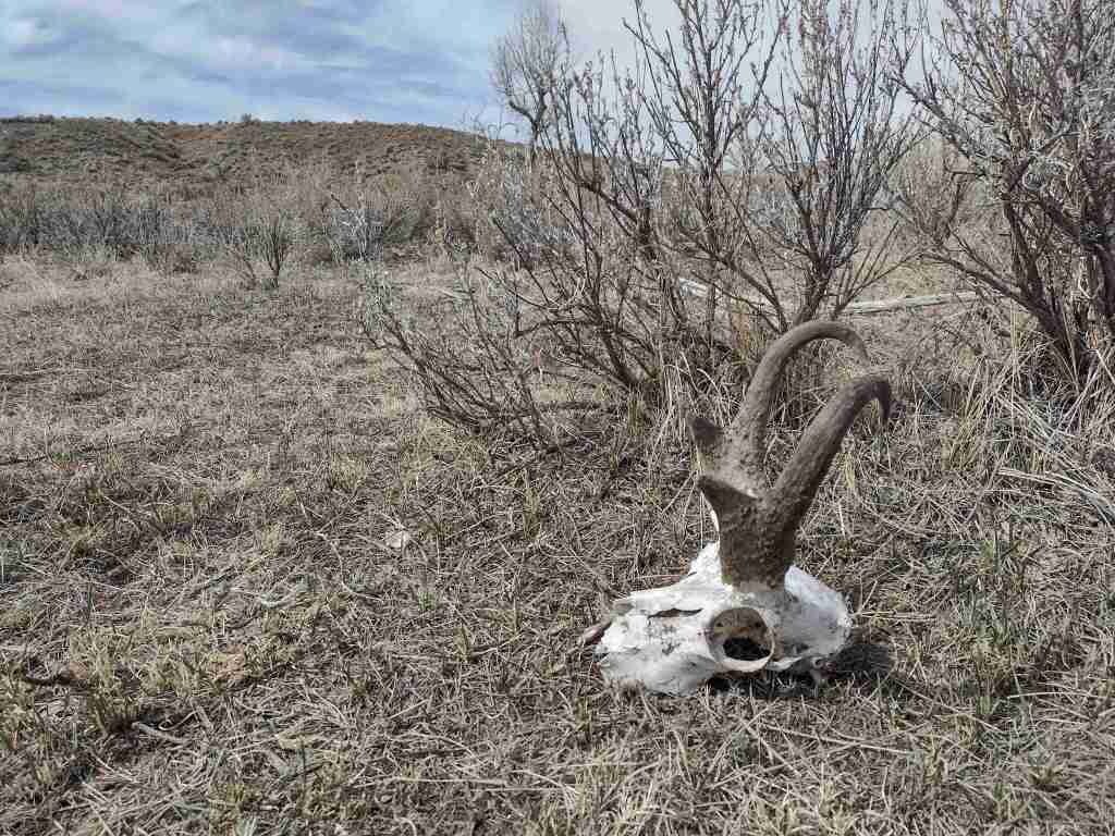
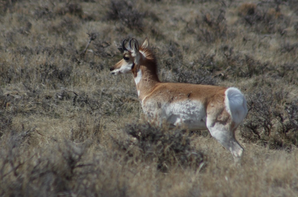
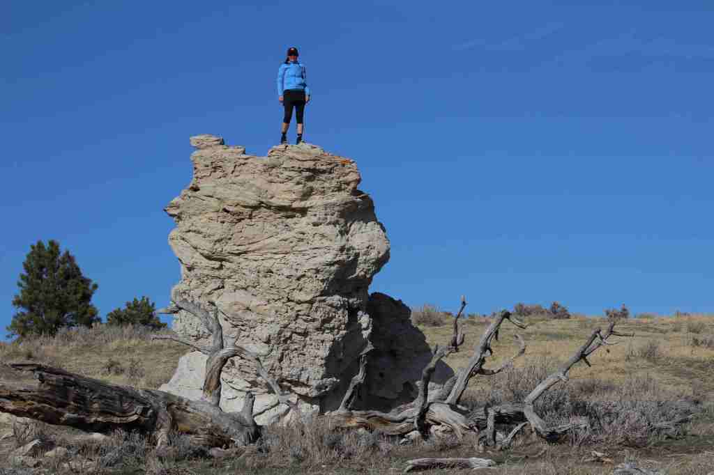
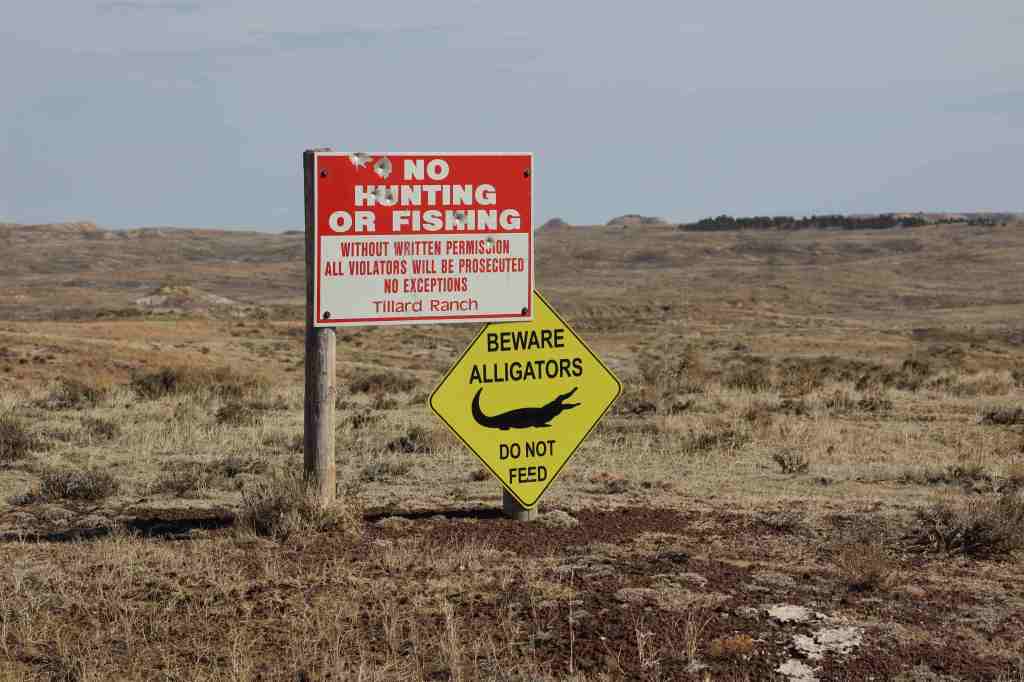
3. Big Bend (Texas)

A great National Park to hike and drive in the winter, the elevations of Chisos Basin are inviting when the desert heats up the rest of the year.  I still want to canoe part of the Rio Grande Wild and Scenic River.

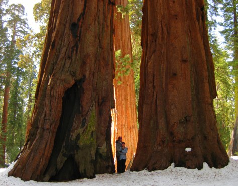
2. Sequoia (California)

I prefer snowshoeing through the sequoia groves in the winter, when you can also reserve a bed in the Pear Lake Ski Hut.  Summer melts the High Sierra for exploration, including Mt. Whitney (permits required).

…and finally the #1 National Park for multiple return visits:

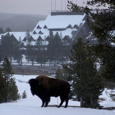
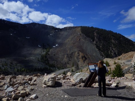
1. Yellowstone (Wyoming-Montana-Idaho)

If you have never been to the world’s first National Park in the winter, then book your snow coach (or snowmobile) and lodging as soon as possible.  It is very different than a summer visit and wildlife is still abundant (except bears).  I have been to Yellowstone more than a dozen times and plan to return.

Honorable Mentions

Pinnacles (California)

There are two different entrances east and west that are a long drive apart, both have hiking access to different caves (check before going to avoid seasonal closures).

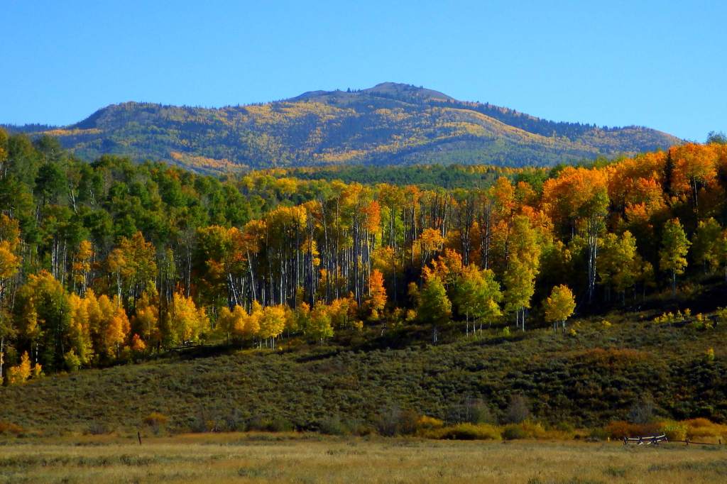
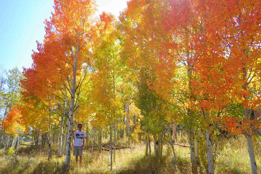
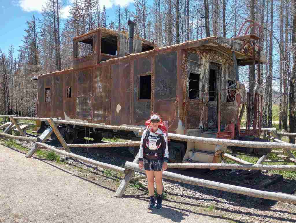
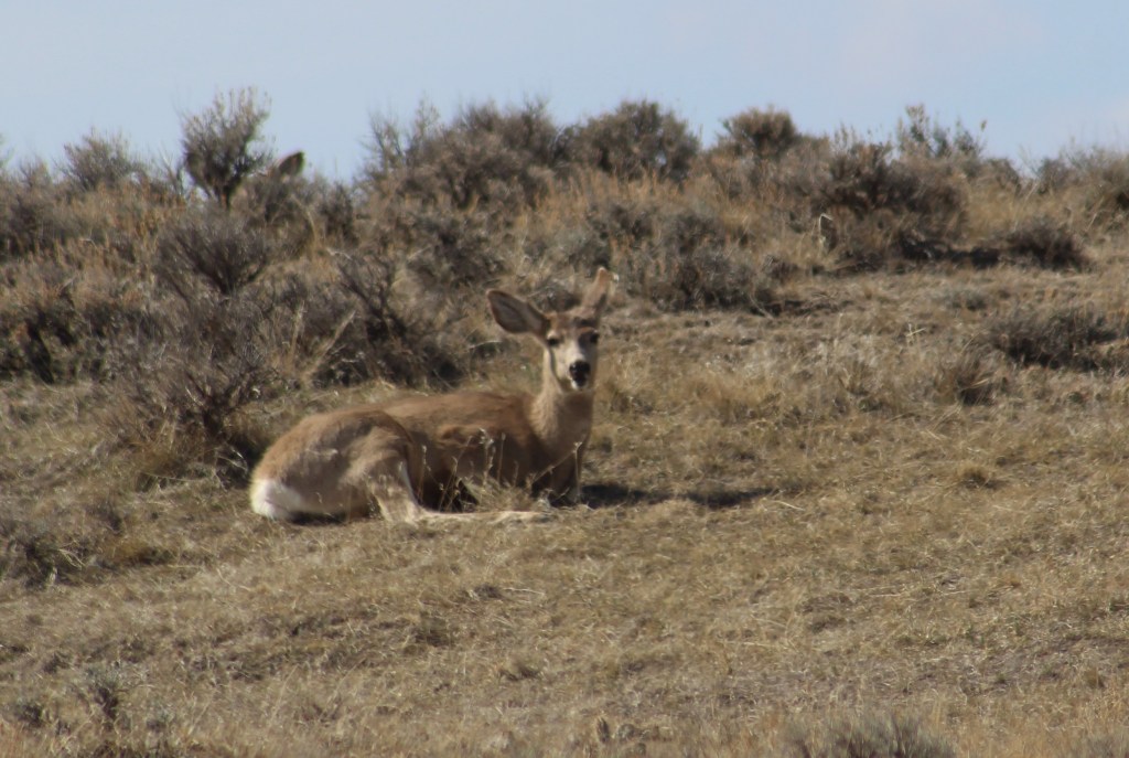
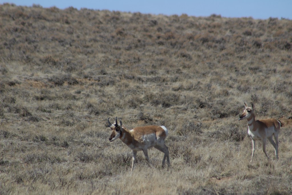
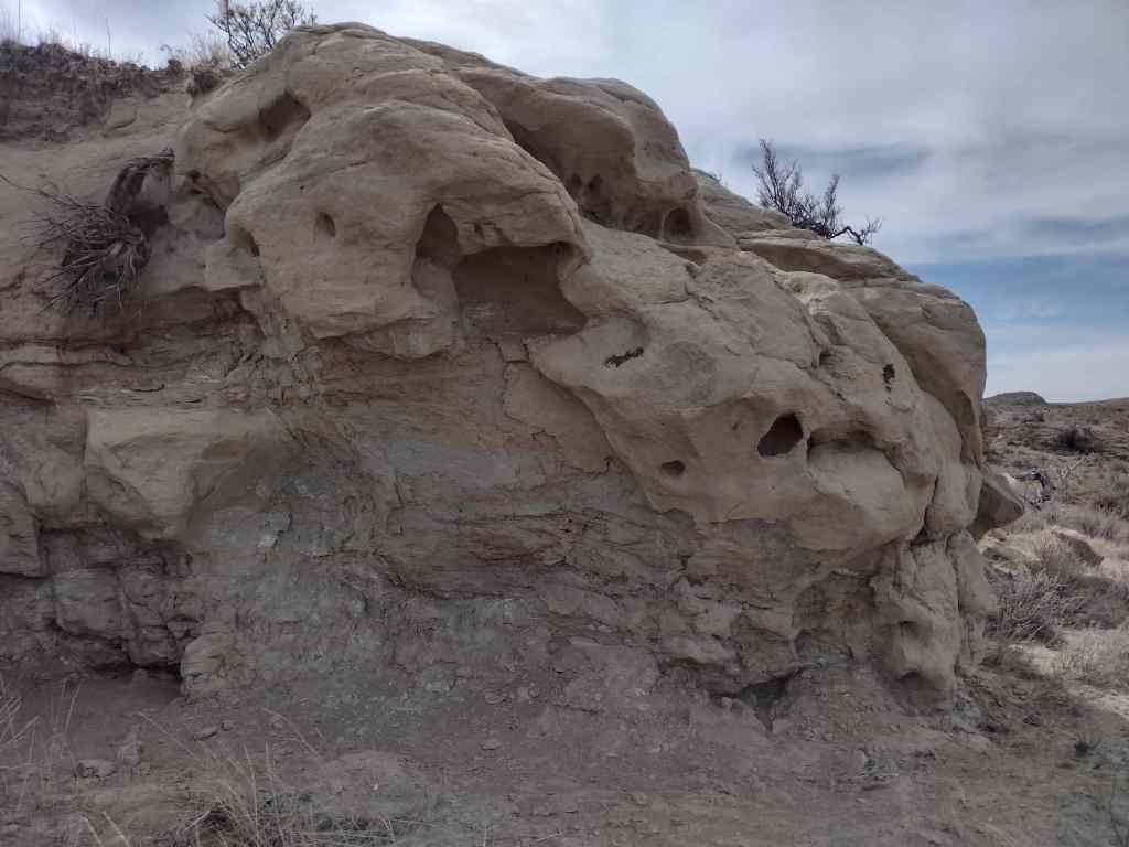
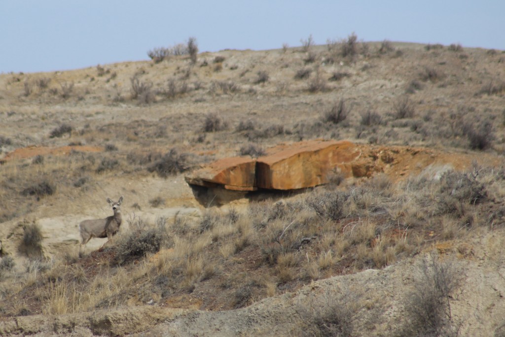
Theodore Roosevelt (North Dakota)

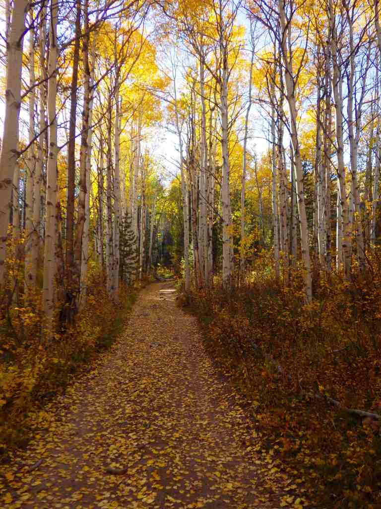
Most of us will not make it back to this remote corner of North Dakota, but it does have a North and South Unit, plus surprisingly good fall foliage.

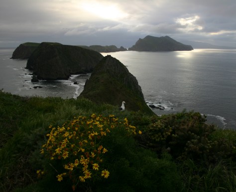
Channel Islands (California)

Every island is different (I have backpacked overnight at Anacapa and did a kayaking tour of Santa Cruz) and I would like to see them all. 

Hawaiʻi Volcanoes (Hawaiʻi)

The unpredictability of lava flows mean that you might have to come back to see active eruptions, or maybe you want to make the strenuous backpacking trip to the top of Mauna Loa.  Who wouldn’t want to return to the Big Island?

Wind Cave (South Dakota)

This is a personal favorite because of the Wild Caving Tour and free permits to backpack on the prairie with the free-ranging bison herd.  The Black Hills keep calling me back.

Know someone who loves National Parks? Gift them our travel guidebook A Park to Yourself: Finding Solitude in America’s 63 National Parks

Medicine Bow National Forest

Medicine Bow National Forest

Wyoming

Managed by U.S. Forest Service, Rocky Mountain Region

1,403,892 acres (1,096,885 federal/ 307,007 other)

Website: https://www.fs.usda.gov/r02/mbrtb

Overview

Medicine Bow National Forest is spread across three separate units in southern Wyoming and another located to the north between the cities of Laramie and Casper.  Within the latter unit is 10,272-foot Laramie Peak, a major landmark along the historic Oregon Trail.  Snowy Range Scenic Byway (Highway 130) provides access in the summer to the high-elevation recreational opportunities found in the mountains.  In 1995, Medicine Bow National Forest was administratively combined with Routt National Forest and Thunder Basin National Grassland.

Know someone who loves the National Forests? Gift them our travel guidebook Out in the Woods so they can learn more about this and the 154 other National Forests.

Highlights

Snowy Range Scenic Byway, Brooklyn Lake Campground, Medicine Bow Peak, Lake Marie, Sierra Madres, Aspen Alley, Hog Park Reservoir, Happy Jack Recreation Area, Vedauwoo, Laramie Peak Trail, Continental Divide National Scenic Trail

Must-Do Activity

Medicine Bow Peak stands at 12,013 feet within the Snowy Range near the Wyoming-Colorado border and has two steep, rocky trails to its summit which can be combined into a long loop.  The 29-mile-long Snowy Range Scenic Byway cuts across this rugged landscape and is a great place for summer camping, fishing, hiking, horseback riding, mountain biking, and backpacking.  The road closes in the winter, but is still a destination for snowmobiling, downhill skiing, cross-country skiing, and snowshoeing.  Medicine Bow gets its name from annual tribal gatherings when ceremonies were held and mountain mahogany was gathered for bow making.

Best Trail

Vedauwoo Recreation Area is visible from Interstate 80 between Laramie and Cheyenne, but feels worlds apart.  Its maze of boulders is a fun place to visit in the winter or summer (when the campground is open).  The 3.2-mile Turtle Rock Trail circles the area, but it is more fun to climb around off trail.  Near the end of winter, snow drifts pile six-feet-high next to ground swept bare.  In the glens protected by the 200-foot-tall rock outcrops, snowflakes cling to the bare branches of aspen and maple trees, and stick in the needles of junipers, Douglas-firs, and ponderosa pines.  Vedauwoo is an Arapaho word meaning “earthborn,” also the name of a nature spirit character in summer theater performances held here in the 1920s by the University of Wyoming.  This forest was once depleted for telegraph poles and railroad ties before the Civilian Conservation Corps (CCC) planted 280,000 trees in the 1930s.  It was used for over 50 years of military target practice, significant because there are unexploded munitions still in the ground.  Vedauwoo is located near the Happy Jack Recreation Area, which at 8,640 feet is the highest point along Interstate 80 between San Francisco and New York City.  This cross-country road was originally called the Lincoln Highway, hence the giant sculpture of Abraham Lincoln’s head at the nearby rest area. 

Watchable Wildlife

After a cold day on the National Forest’s cross-country ski trails at Brush Creek (built in the 1930s by the Civilian Conservation Corps) or Chimney Park, we always made it a point to stop in Saratoga where hot springs water is piped into the free outdoor Hobo Pool adjacent to the North Platte River.  This area is a favored wintering ground for bald and golden eagles, so you may witness a flyover during your soak.  Also watch for mule deer in town and a variety of waterfowl along the river.  Moose, elk, and pronghorn (at lower elevations) are found in the National Forest.  Black bears, mountain lions, coyotes, and red foxes reside here, too.  Trout fishing in lakes and streams is a major draw to the mountains. 

Photographic Opportunity

Lake Marie along the Snowy Range Scenic Byway is one of the most widely used photographs for tourism publications in this corner of Wyoming.

Peak Season

Summer

Fees

Day use fees of $5 per vehicle (or America the Beautiful pass) apply at Vedauwoo, Tie City Trailhead, Happy Jack Trailhead, and the western terminus of Headquarters National Recreation Trail, as well as Sugarloaf and West Lake Marie Trailhead along Snowy Range Scenic Byway.

Road Conditions

The gravel Vedauwoo Road (closed in spring) is good enough for RVs, as are some of the side roads off paved Snowy Range Scenic Byway (closed in winter).  Beware the rutted Forest Road 336 near Libby Flats and some other four-wheel-drive-only routes.  Several roads become snowmobile routes in the winter, including most of Snowy Range Scenic Byway west of the ski resort.

Camping

In addition to a large designated campground at the Vedauwoo exit off Interstate 80, Vedauwoo Road has designated free campsites marked by a post and offer dispersed camping along other surrounding roads.  Brooklyn Lake is one of several designated campgrounds along the Snowy Range Scenic Byway where dispersed campsites are harder to find.  Between Casper and Cheyenne, Laramie Peak dominates the prairie landscape and if you hike to its summit you can overlook hundreds of miles of the historic Oregon Trail.  Although much of this section of forest has been affected by wildfires, there is still plenty of natural beauty and out of the way places to pitch a tent along its labyrinthine road system. 

Wilderness Areas

Encampment River Wilderness

Huston Park Wilderness

Platte River Wilderness (also in Routt National Forest)

Savage Run Wilderness

Related Sites

Fort Laramie National Historic Site (Wyoming)

Thunder Basin National Grassland (Wyoming)

Scotts Bluff National Monument (Nebraska)

Nearest National Park

Rocky Mountain

Conifer Tree Species

Engelmann spruce, Douglas-fir, subalpine fir, lodgepole pine, limber pine, ponderosa pine, Rocky Mountain juniper

Flowering Tree Species

quaking aspen, eastern cottonwood, balsam poplar, Rocky Mountain maple, curlleaf mountain mahogany, sagebrush               

Explore More – Near Vedauwoo, a 60-foot-tall granite pyramid was built in 1882 to honor whom?

Know someone who loves the National Forests? Gift them our travel guidebook Out in the Woods so they can learn more about this and the 154 other National Forests.

Blackwell School National Historic Site

Blackwell School National Historic Site

Texas

Managed by National Park Service

Established 2022

0.5 acre

Website: nps.gov/blsc

Overview

A three-room schoolhouse built for Marfa’s Hispanic children in 1909 is all that remains of a once larger campus (the Band Hall from 1927 is still attached).  Blackwell School was named for a prominent early principal, and it closed in 1965 following legally mandated integration more than a decade after the Brown v. Board of Education decision.  At its peak, the school had more than 600 students, with Hispanic students segregated, except on sports teams.  After 1954, students were no longer allowed to speak Spanish on campus with a mock funeral held for the language and corporal punishment inflicted upon violators.  Not all former students wanted to preserve this site where “separate but equal” education was practiced, but enough felt it was important to recall this history.  The main building was saved from demolition by the nonprofit Blackwell School Alliance who helped the National Park Service (NPS) acquire the property from the Marfa Independent School District in 2024.  The NPS has plans to reconstruct a belltower atop the adobe building. 

Highlights

School building, playground

Must-Do Activity

You definitely want to arrive when an NPS employee is on site to allow you inside the building and to explain its history.  There are artifacts and informational panels on display inside.  There is even a coloring book available in both English and Spanish that explains the story of Blackwell School to children. 

Best Trail

None

Photographic Opportunity

In the lot next to the school building is a playground, and there are plans to install outdoor interpretive signs and photos under the awning to provide information to visitors when the site is closed on weekdays.

Peak Season

Winter

Hours

Currently 12-4 on Saturdays and Sundays only

https://www.nps.gov/blsc/planyourvisit/basicinfo.htm

Fees

None

Road Conditions

Paved street parking is available at the site in Marfa.

Camping

There is an RV park in Marfa, or you can boondock at the Marfa Lights viewing area that has bathrooms.  Big Bend National Park takes reservations for its campsites (with no hookups).

Related Sites

Brown v. Board of Education National Historical Park (Kansas)

César E. Chávez National Monument (California)

Fort Davis National Historic Site (Texas)

Guadalupe Mountains National Park (Texas)

Nearest National Park

Big Bend

Explore More – When was the first ever school opened in Marfa?

Thunder Basin National Grassland

Thunder Basin National Grassland

Wyoming

Managed by U.S. Forest Service, Rocky Mountain Region

547,499 acres

Website: https://www.fs.usda.gov/r02/mbrtb/recreation/thunder-basin-national-grassland-0

Overview

Thunder Basin is part of the Powder River Basin situated between the Big Horn Mountains and the Black Hills.  Elevations in the National Grassland range from 3,600 to 5,200 feet in the transition zone between the Great Plains and sagebrush steppe.  It was established in 1960 and is currently managed along with Routt and Medicine Bow National Forests.  Its acreage is interspersed with private inholdings and areas run by the Bureau of Land Management.

Highlights

Weston Recreation Area, Soda Well Picnic Site, reservoirs

Must-Do Activity

Although Thunder Basin National Grassland is mostly undeveloped for tourists, Weston Recreation Area is located 30 miles north of Gillette off Highway 59 with at least 15 miles of Off-Highway Vehicle (OHV) trails.  Fishing for warm water species like smallmouth bass and bluegill is possible at the following reservoirs: East Iron Creek, Kellogg, Little Powder, Little Thunder, Turner, and Weston (where there is a vault toilet).  There is a picnic shelter at Soda Well, site of the ghost town of Weston, Wyoming. 

Best Trail

The East Upton Trailhead and Kellogg Trailhead are both located in the northeastern-most corner of the National Grassland about two miles north of Upton.  Generally, it is possible to hike cross-country wearing sturdy boots to avoid hidden prickly pear and hedgehog cacti.  Be sure to wear bright colors during the various hunting seasons.

Watchable Wildlife

On our March visit to Thunder Basin National Grassland, we saw pronghorn, elk, and mule deer out grazing on the prairie.  Small rodents are prevalent, including white-tailed jackrabbits, cottontail rabbits, kangaroo rats, thirteen-lined ground squirrels, and black-tailed prairie dogs, a keystone species whose burrows create habitat for burrowing owls, prairie rattlesnakes, mountain plovers, and endangered black-footed ferrets.  Predatory mammals found here include the swift fox, red fox, badger, and coyote.   Sagebrush cover may support sage grouse, a species of management concern.

Photographic Opportunity

Early spring is a great time to visit to see large ungulates before they migrate to higher elevations and to hear the first mating calls of meadowlarks.

Peak Season

Spring

Fees

None

Road Conditions

The unpaved roads we drove were graded and accessible to passenger vehicles, but that is probably not the case when they are wet.

Camping

There are no developed campgrounds in this National Grassland, but dispersed camping is allowed on public land so use the app or get a good map to make sure you are not on the private land parcels interspersed throughout.  The Forest Service website recommends camping along Forest Road 1246. 

Related Sites

Devils Tower National Monument (Wyoming)

Black Hills National Forest (South Dakota)

Jewel Cave National Monument (South Dakota)

Nearest National Park

Wind Cave

Explore More – In 2017, what infectious bacterial disease impacted 25,000 acres of prairie dog towns in the area?

Top 10 Visitor Centers in National Forests

We have now published blog posts on more than half of the 155 National Forests and 20 National Grasslands in America, so it seemed like a good time to do another Top 10 list.  Visitor centers are much rarer in National Forests than sites managed by the National Park Service (plus they seem to mostly be open only on weekdays), but there are still some good ones.  Some are small and tourist-focused like the one at historic Lolo Pass on the Idaho-Montana border, while others are large but mostly serve as the headquarters for employees, like at Black Hills National Forest in South Dakota.  Presented here are the best from our travels, plus check out some of our favorite National Forests in our many other Top 10 lists.  Still struggling to figure out the difference between a National Park and a National Forest?  Read this blog post for help.

10. El Yunque National Forest (Puerto Rico)

The Forest Service’s El Portal Rainforest Visitor Center reopened in January 2022, just weeks after we visited this as our final one of all 155 National Forests.

9. Gila National Forest (New Mexico)

This visitor center is co-managed with the National Park Service due to its proximity to Gila Cliff Dwellings National Monument; ask about the hot springs in the area.

8. Ottawa National Forest (Michigan)

An interpretive trail through the forest leaves from this site, a good stop before driving down to Black River Harbor Recreation Area past its many waterfalls.

7. Inyo National Forest (California)

In the White Mountains, a steep paved road leads to a visitor center at the Ancient Bristlecone Pine Forest, and visit the one on Mono Lake along scenic Highway 395.

6. Gallatin National Forest (Montana)

Earthquake Lake Visitor Center on Highway 287 is open in the summer to tell the tragic story of August 17, 1959.

5. Toiyabe National Forest (Nevada-California)

There are cool stained-glass windows along the top of this modern visitor center outside Las Vegas.

4. St. Francis National Forest (Arkansas)

Mississippi River State Park has an amazing new visitor center that interprets this small neighboring National Forest, and it has a gift shop.

3. Sawtooth National Recreation Area (Idaho)

There are a couple of visitor centers around scenic Redfish Lake and the town of Stanley in both Sawtooth and Challis National Forests.

2. Mt. St. Helens National Volcanic Monument (Washington)

Gifford Pinchot National Forest runs seasonal visitor centers on both the east and west sides of Mt. St. Helens, plus there is one in Seaquest State Park.

…and finally our #1 National Forest visitor center:

1. Tongass National Forest (Alaska)

The Southeast Alaska Discovery Center in Ketchikan accepts America the Beautiful passes, so bring yours along on the cruise ship, which is how most visitors arrive.

.

Honorable Mentions

Coconino National Forest (Arizona)

Red Rock Ranger Visitor Center has the best location in the heart of Sedona right off Red Rock Scenic Byway (Highway 179)

Black Kettle National Grassland (Oklahoma)

Located downstairs from the National Park Service visitor center for Washita Battlefield National Historic Site, there is also an excellent interpretive trail outside.

Grand Mesa National Forest (Colorado)

A log cabin atop the mesa shows two films about the region, while the historic Lands End Observatory offers superb views.

Wayne National Forest (Ohio)

Always seem to drive past this Welcome Center on Highway 33 when it is closed, but it looks nice from the outside.

Caribou National Forest (Idaho)

The National Oregon/California Trail Center in Montpelier has a Forest Service flag flying out front, but it does not seem to be run by them at all.

Buffalo Gap National Grassland (South Dakota)

Wall Drug is not the only attraction in the town of Wall, as the National Grasslands Visitor Center serves as the main interpretive site for all 20 National Grasslands (plus Midewin National Tallgrass Prairie, which has its own nice visitor center in Illinois). 

Forest Service Information Center (Washington, D.C.)

We have been inside the historic 1878 Sidney R. Yates building on Independence Avenue SW, but do not recall the animatronic Smokey Bear that now resides there.

Learn more about all 155 National Forests in our travel guidebook Out in the Woods