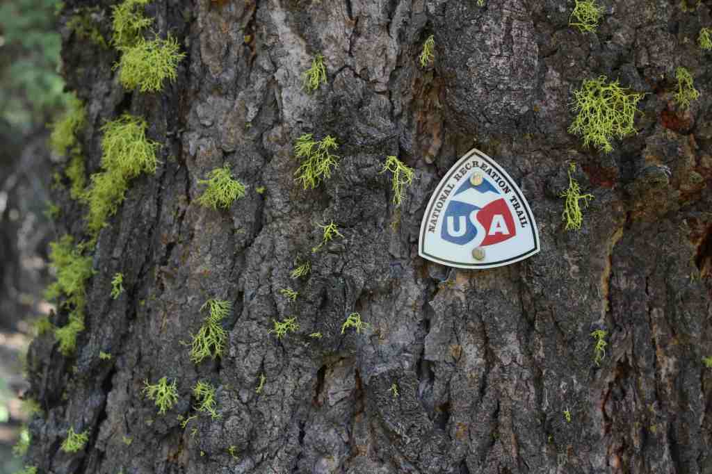
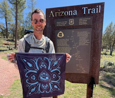
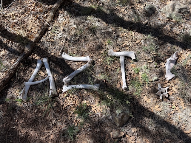
Arizona National Scenic Trail
Arizona
Managed by U.S. Forest Service, National Park Service, Bureau of Land Management
Established 2009
800 miles
Website: aztrail.org
Overview
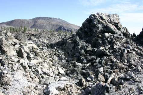
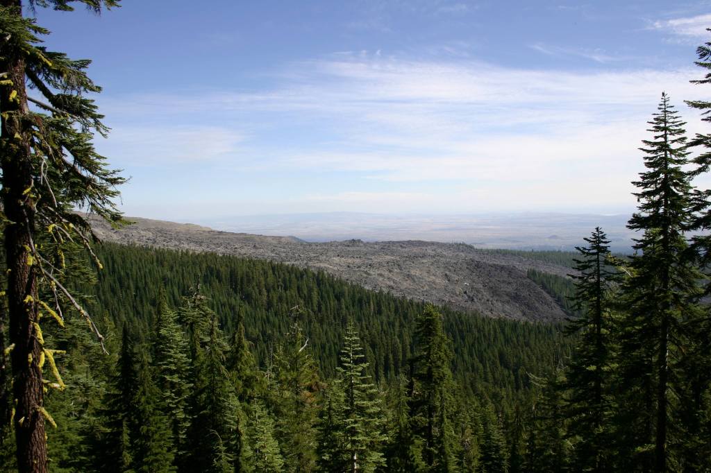
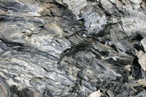
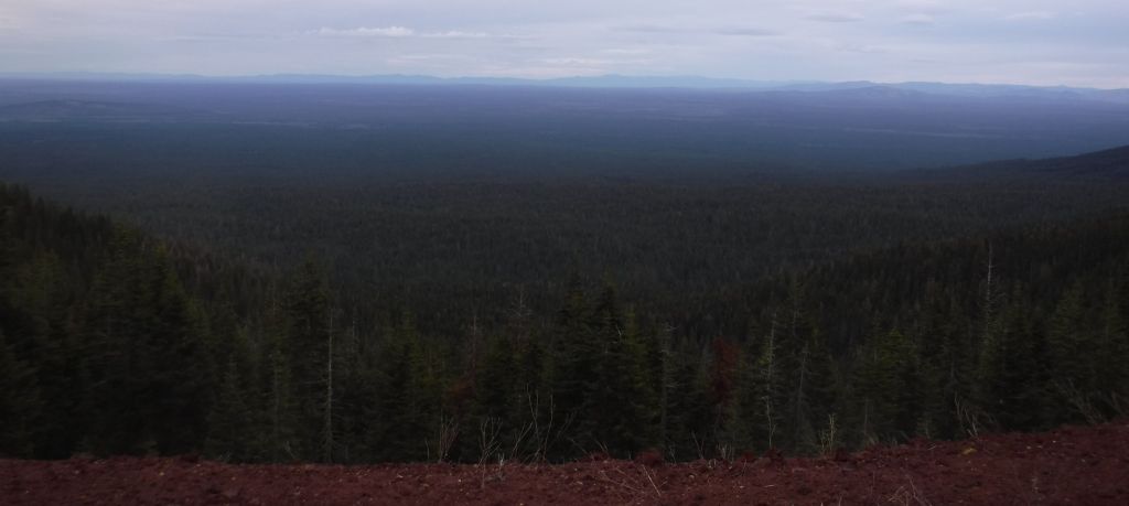
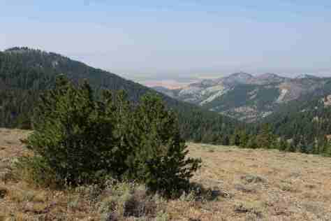
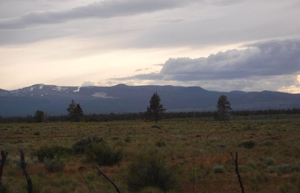
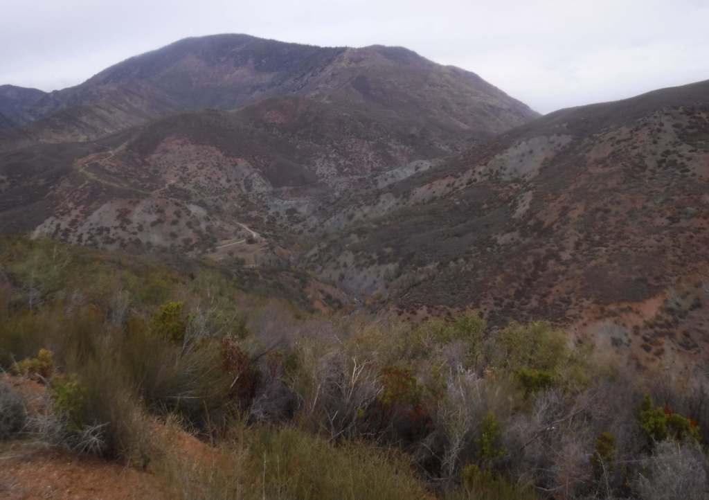
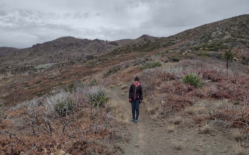
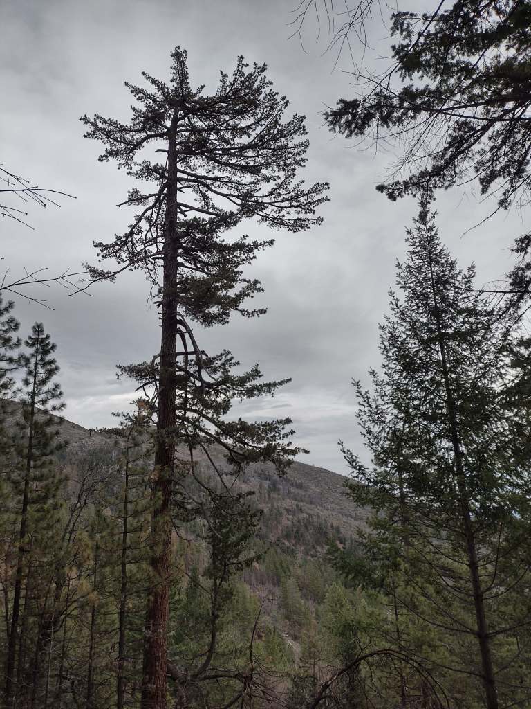
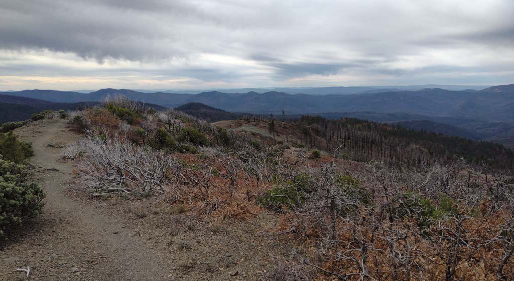
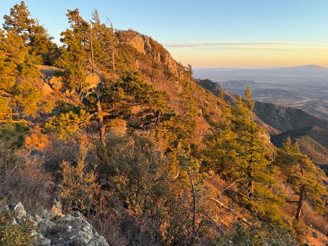
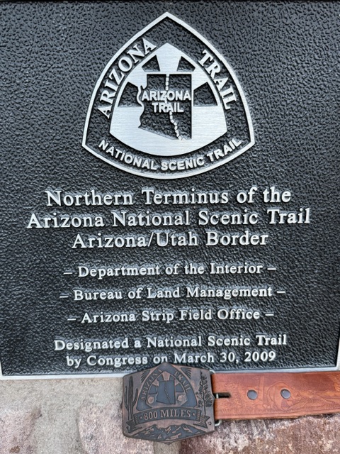
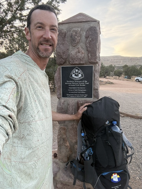
The Arizona National Scenic Trail (AZT) runs 800 miles from Coronado National Memorial on the Mexican border to Stateline Campground in Utah (where Vermilion Cliffs and Grand Staircase-Escalante National Monuments meet). The AZT has a cumulative elevation gain of more than 100,000 feet and goes above 9,000 feet in several locations, with the low point at 1,646 feet on the Gila River around Mile 270. Credit for developing and promoting the AZT began in 1985 with Dale Shewalter, a Flagstaff teacher who has a memorial in Buffalo Park on the urban alternate route of the AZT. There is also a mountain biking AZT that avoids Wilderness areas and an equestrian route that is mostly the same except for some road crossings and a loop around Flagstaff.
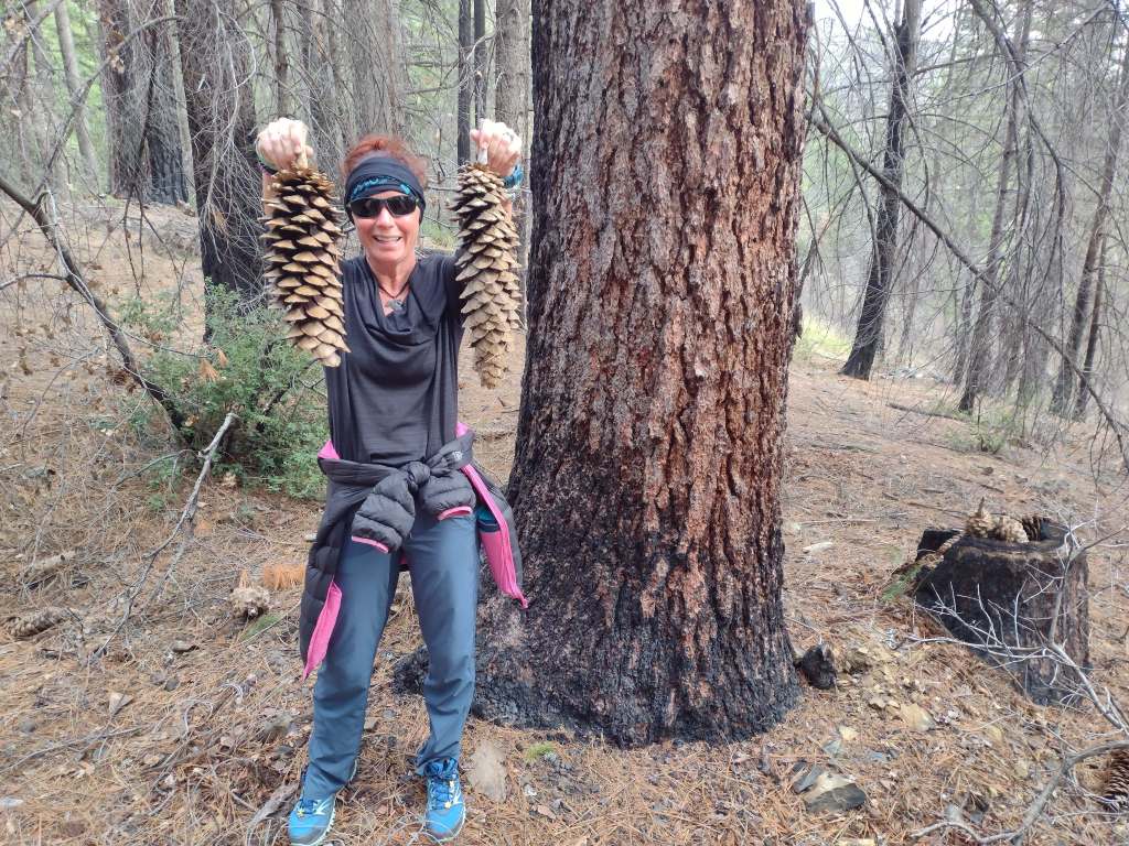
I completed the AZT northbound in spring 2026 and you can read my series of short daily blog posts here:
- Arizona Trail Day minus-2
- Arizona Trail Days 1 to 5
- Arizona Trail Days 6 to 13
- Arizona Trail Days 14 to 23
- Arizona Trail Days 24 to 34
- Arizona Trail Days plus+1 to plus+3
Highlights
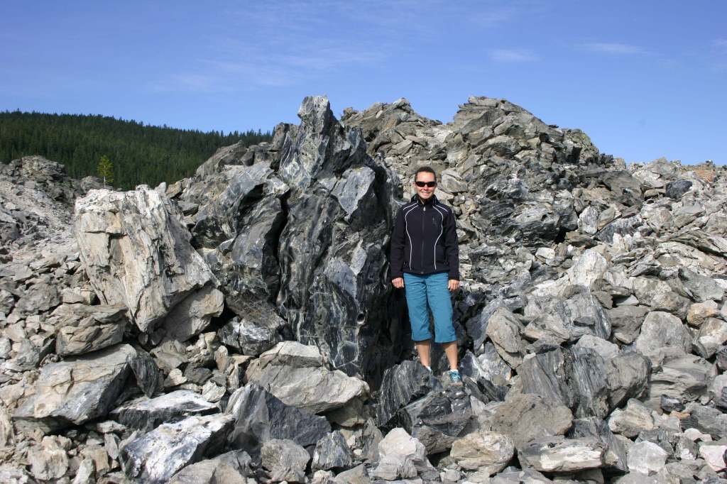
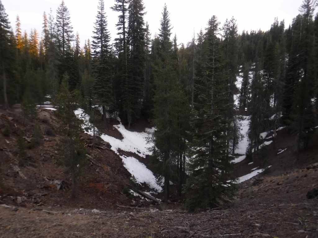
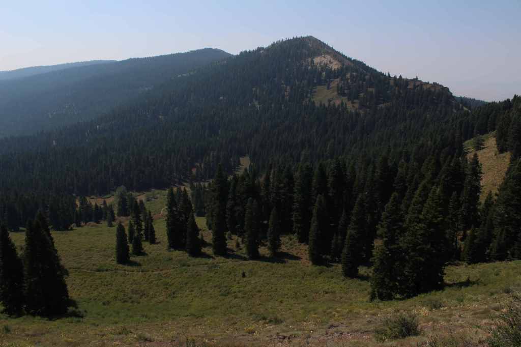
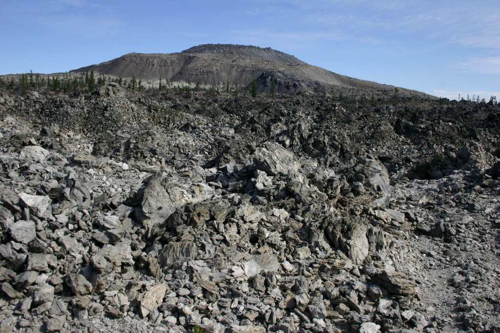
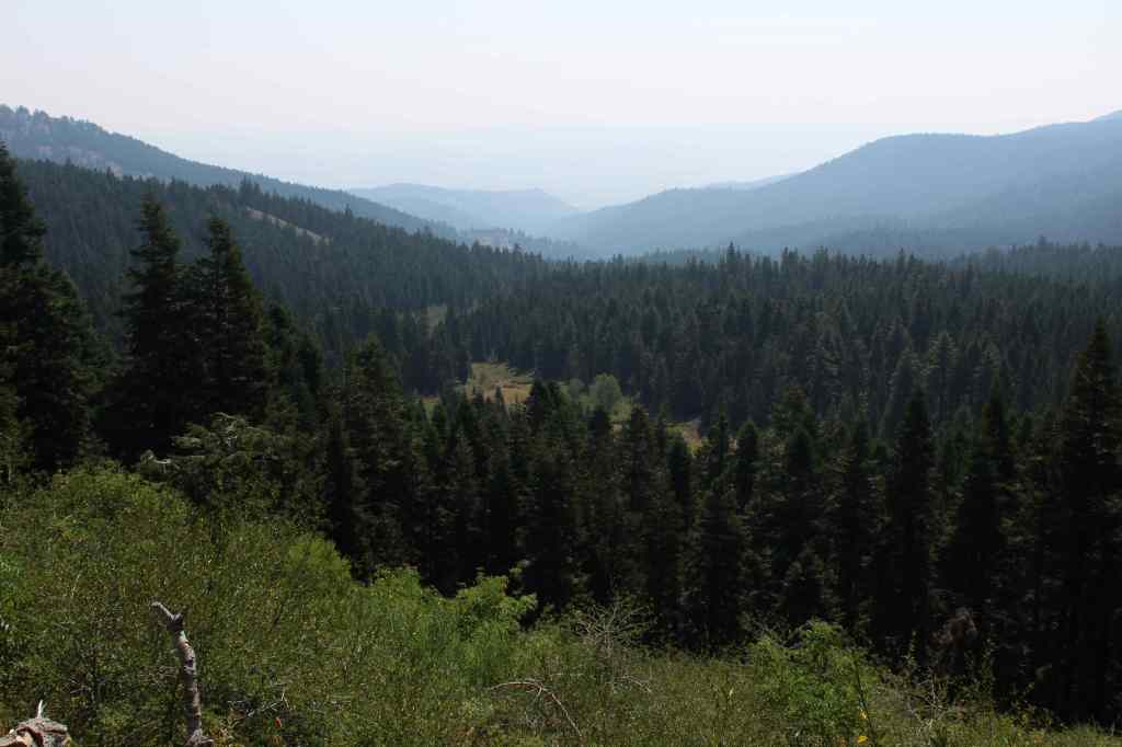
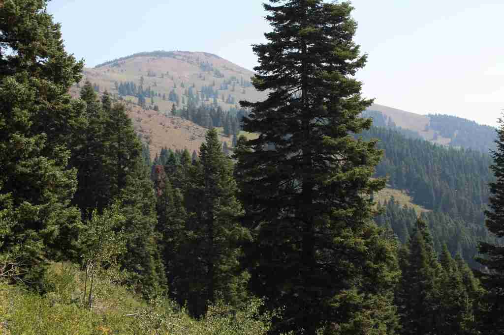
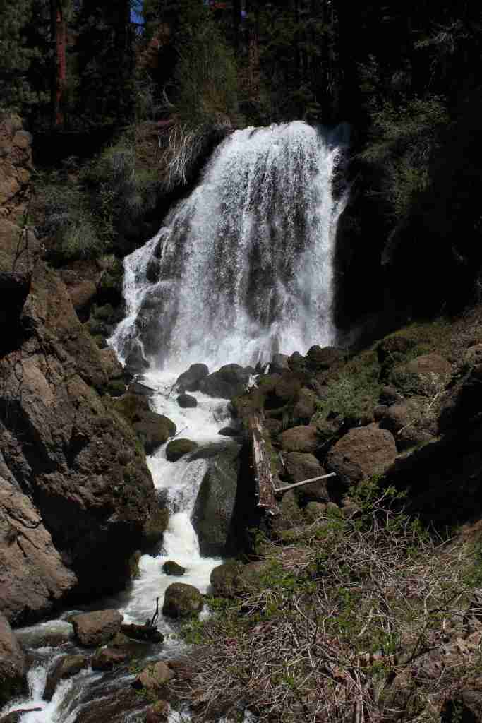
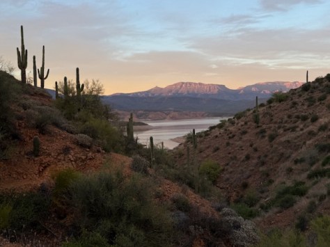
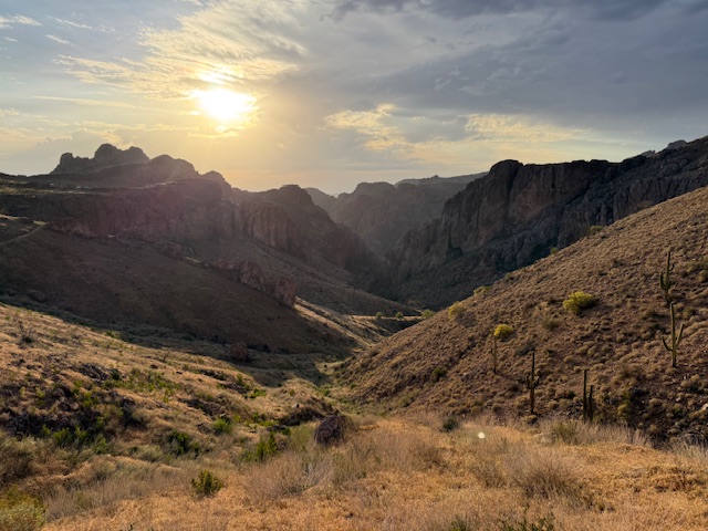
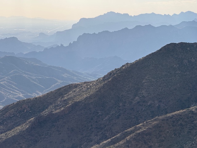
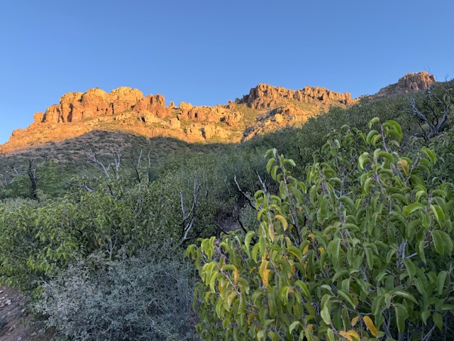
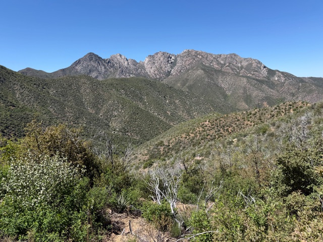
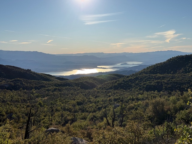
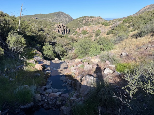
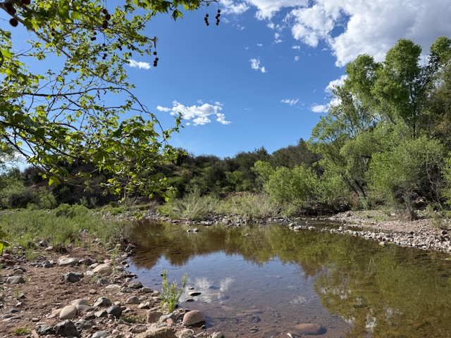
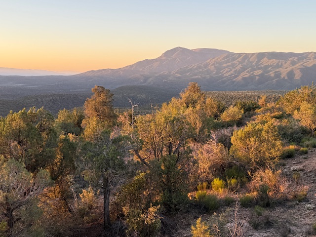
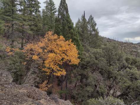
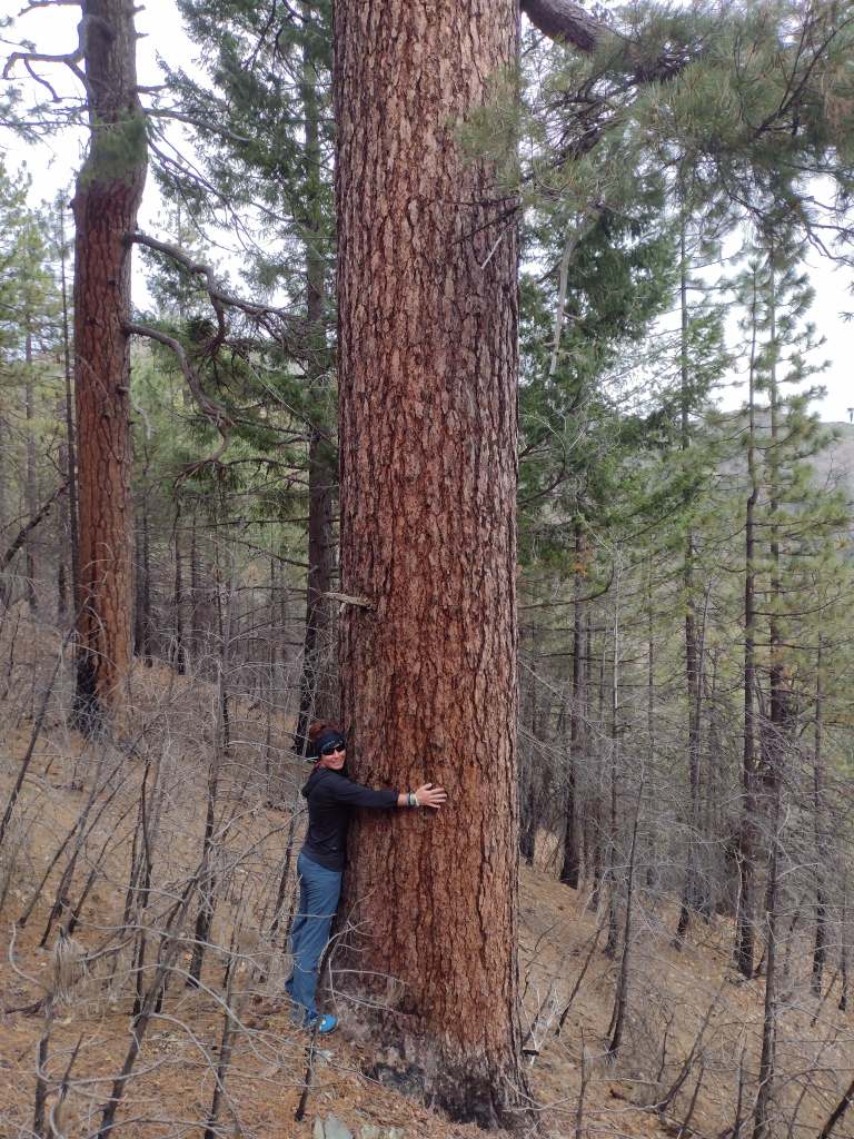
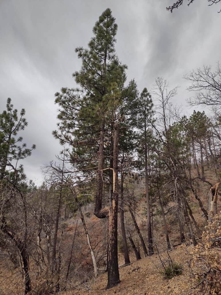
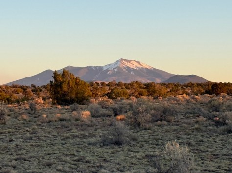
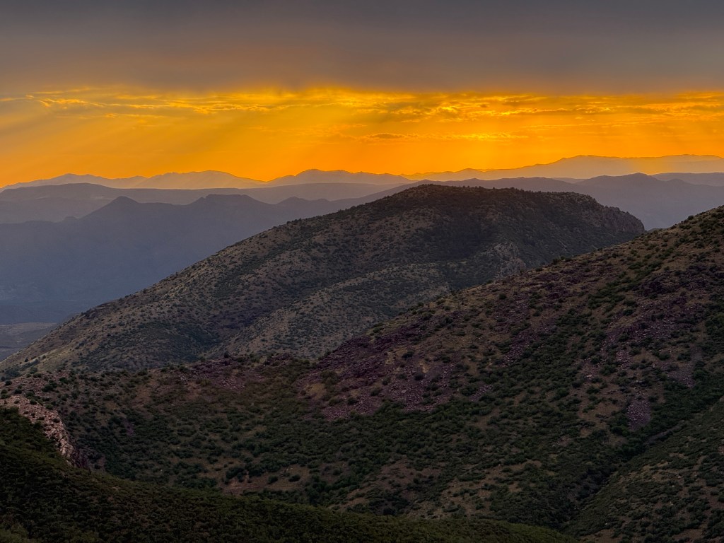
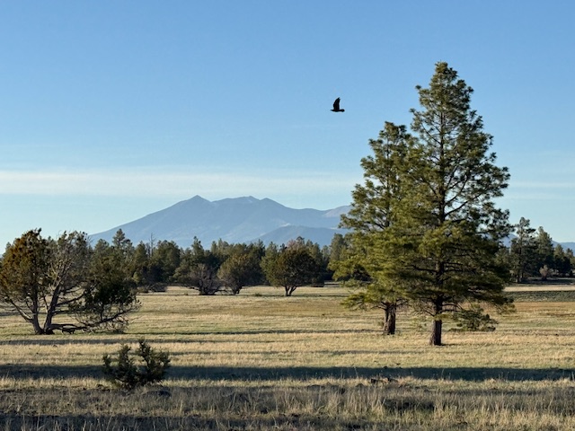
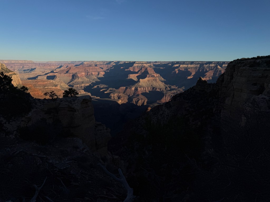
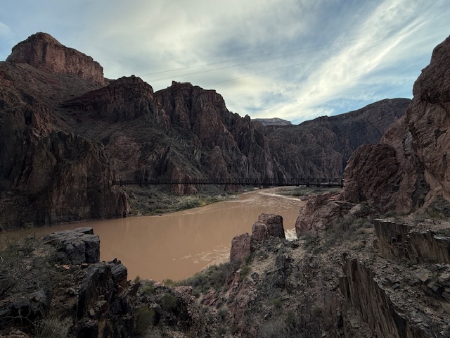
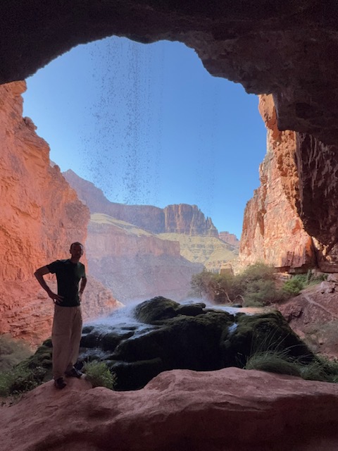
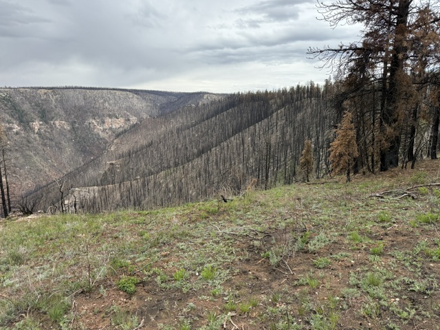
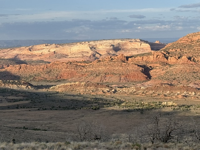
Huachuca Mountains, Mica Mountain, Upper Sabino Canyon, Gila River, Four Peaks Wilderness, East Verde River, Mogollon Rim, Anderson Mesa, Grand Canyon National Park
Must-Do Activity
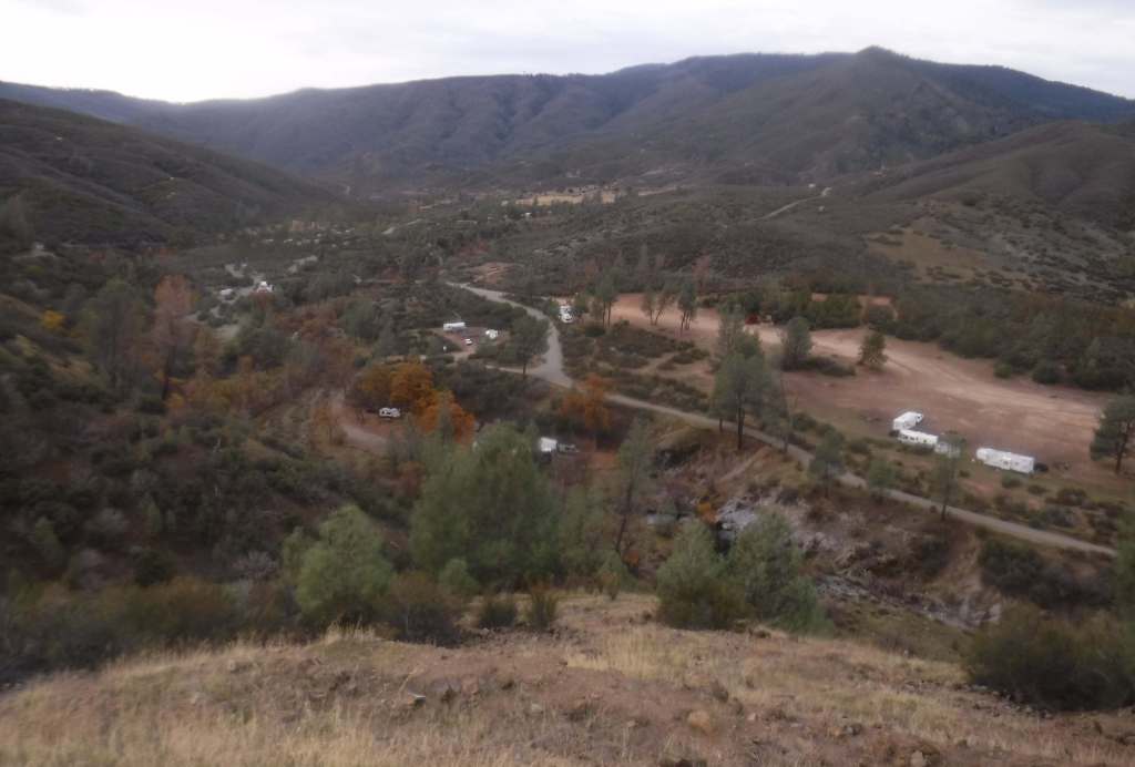
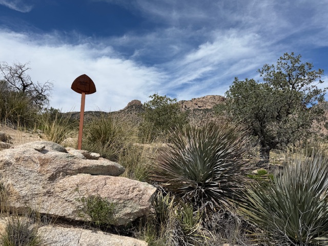
Must keep moving! How many miles to do in a day is entirely up to the individual backpacker, but the less distance covered the more food carried. Water filtration is also a must-do activity because caches are few and far between, so springs, cattle tanks, and creeks provide the majority of liquid (the FarOut app is the most updated source of information). Popular resupply towns along the route are Patagonia, Tucson, Summerhaven, Oracle, Kearney, Superior, Roosevelt Lake, Pine, Flagstaff, Tusayan, and Jacob Lake.
Best Trail
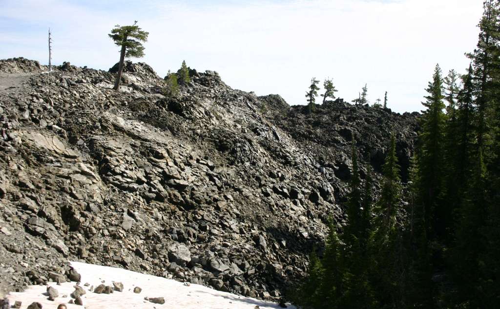
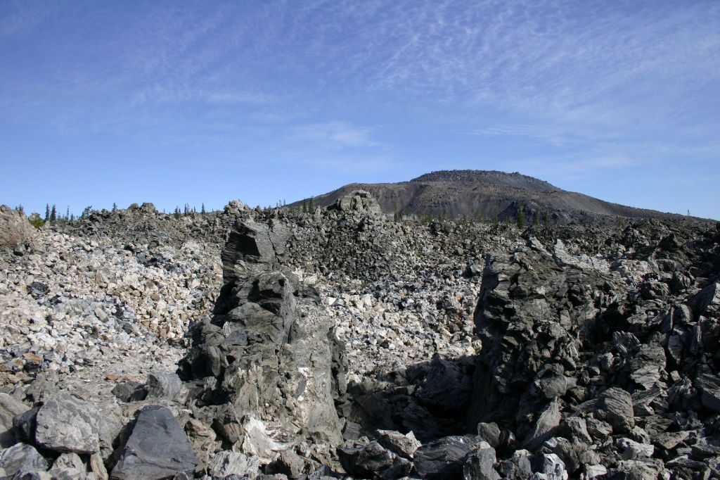
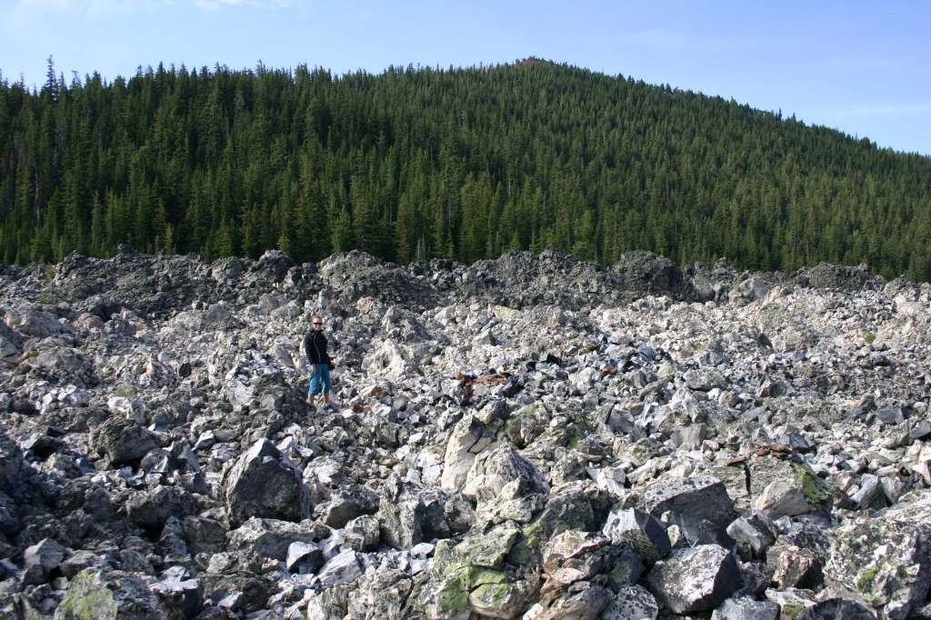
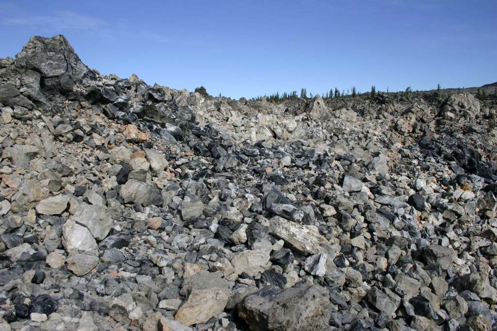
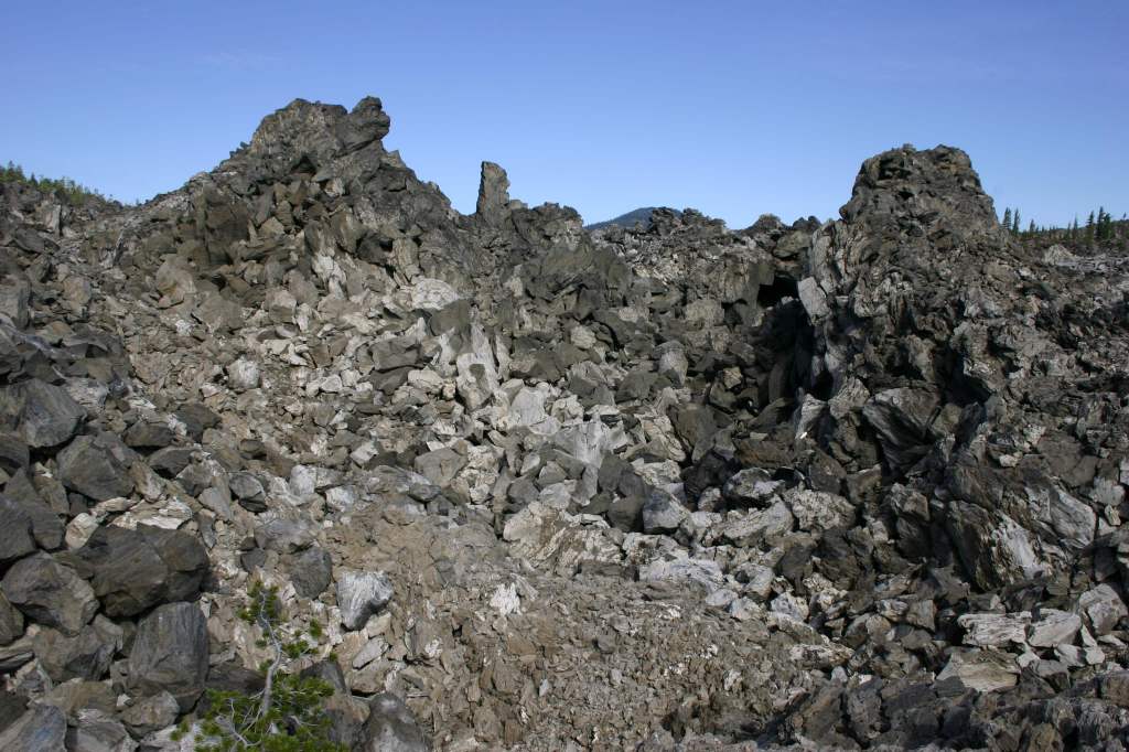
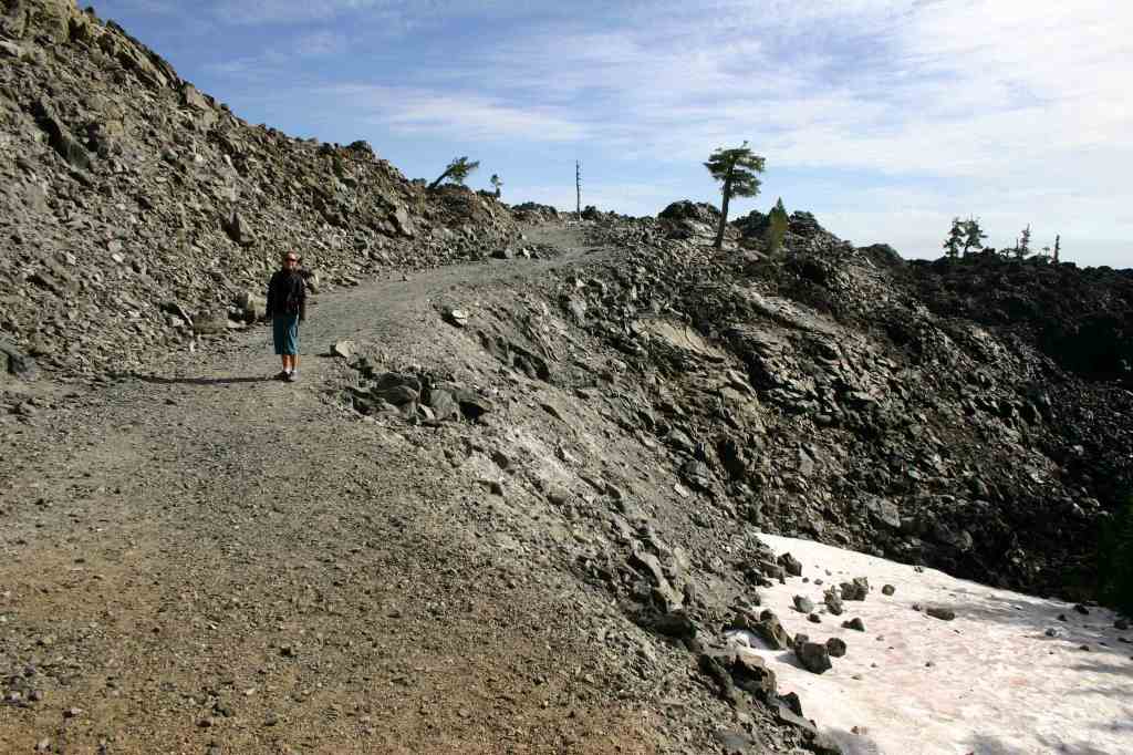
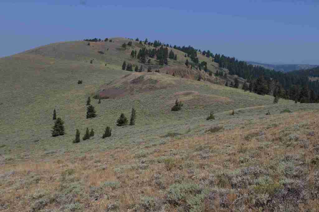
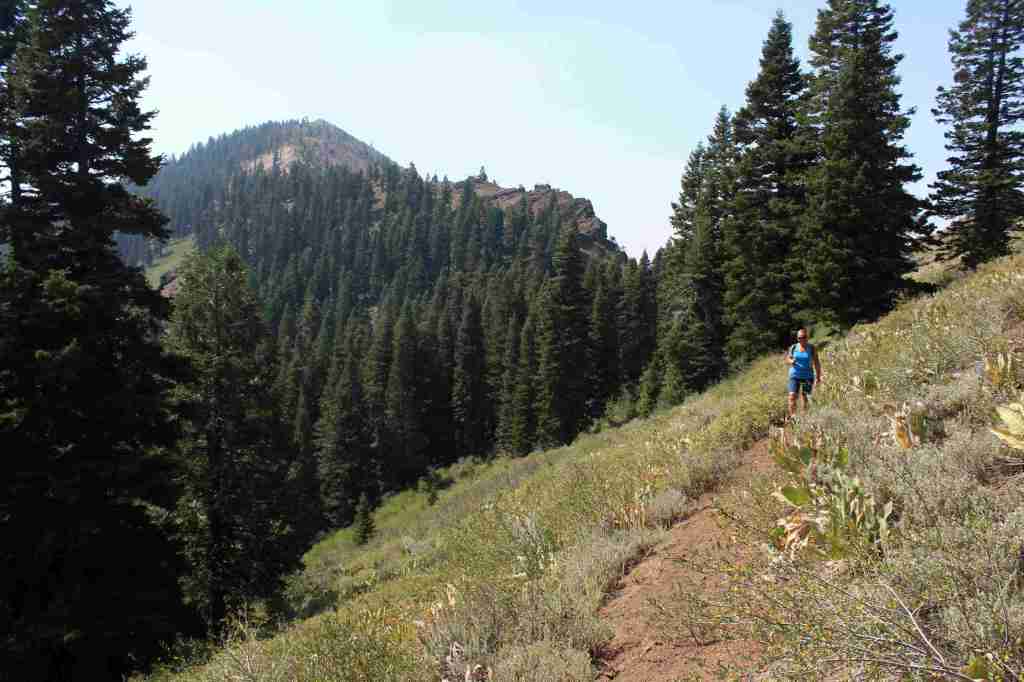
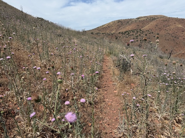
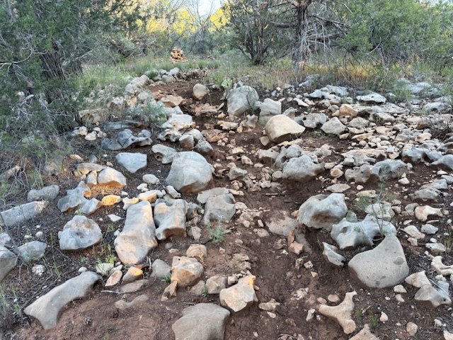
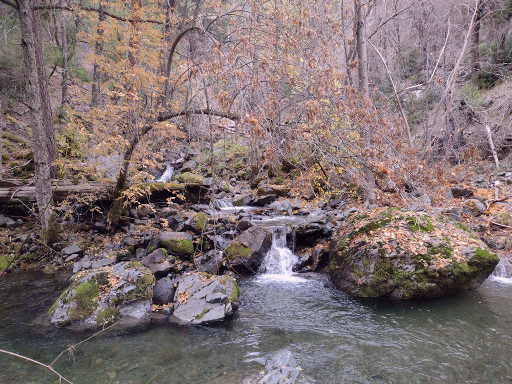
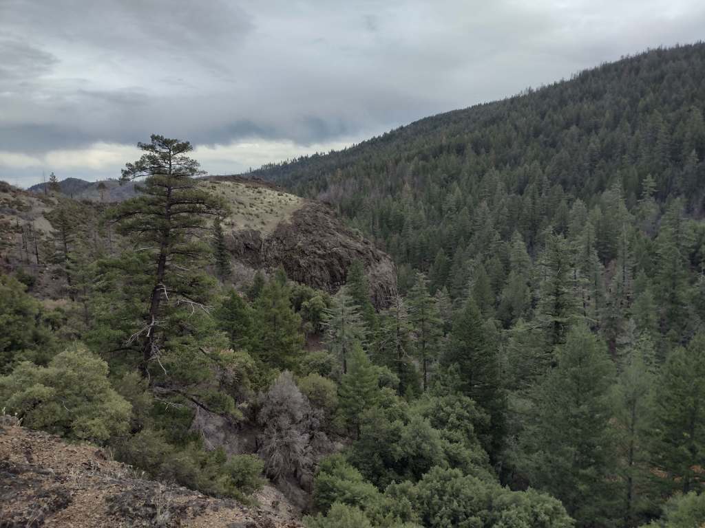
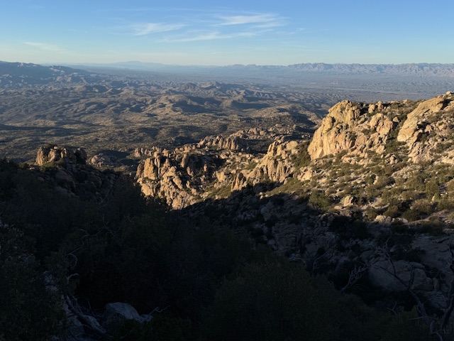
My favorite section of the trail was west of Gordon Hirabayashi Campground in Coronado National Forest’s Upper Sabino Canyon at the base of the Santa Catalina Mountains (before it started steeply climbing up to Mt. Lemmon). The southernmost section that immediately ascends above 9,000 feet in the Huachuca Mountains was also surprising, pleasantly for the scenery and unpleasantly for the steep grades and loose rocks (and blisters).
Photographic Opportunity
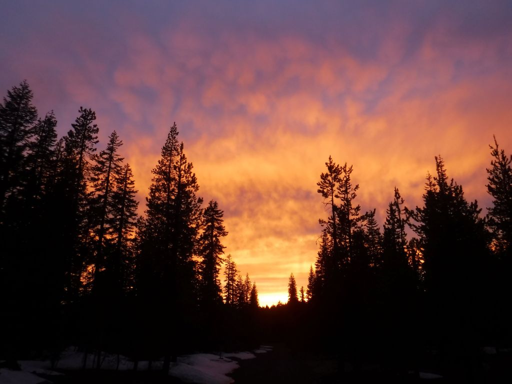
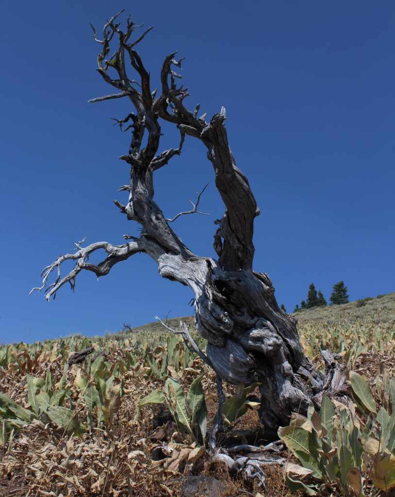
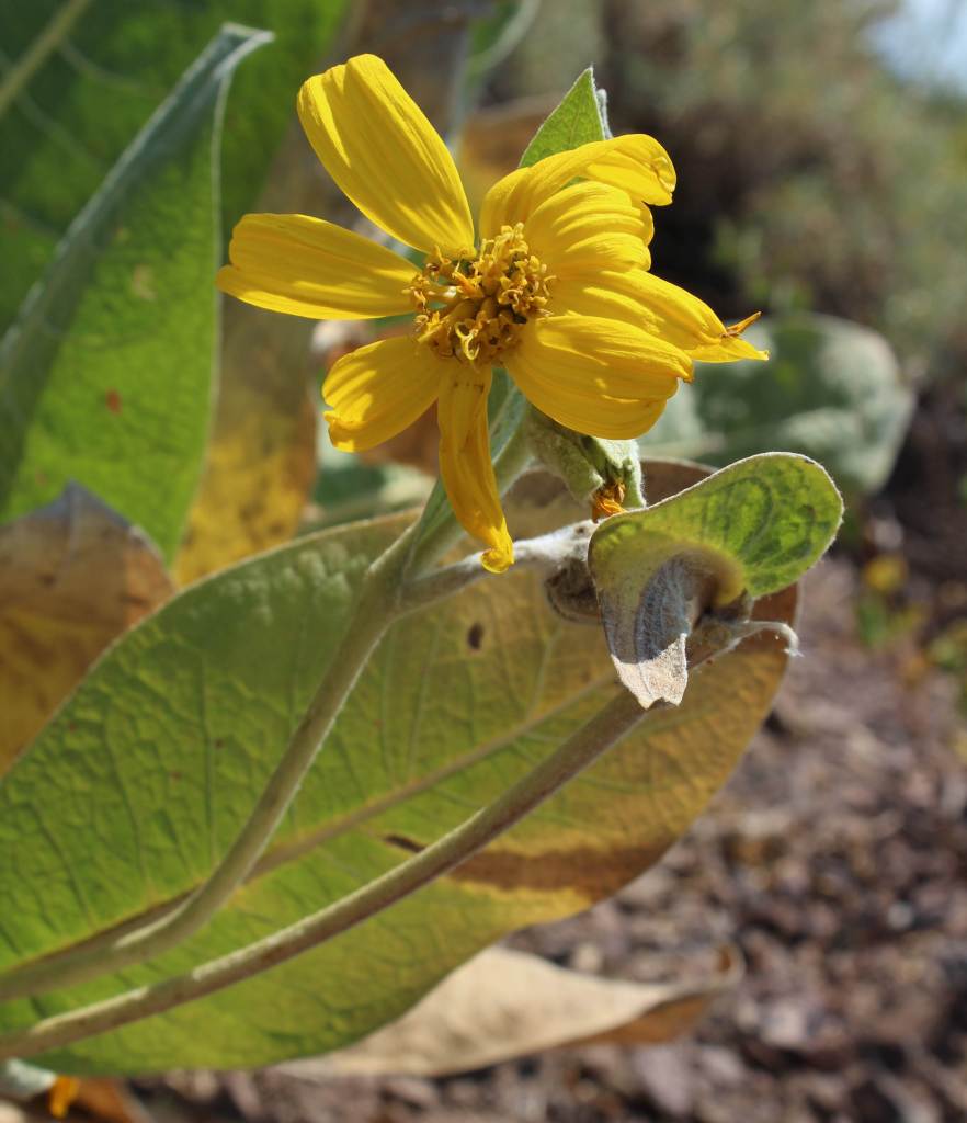
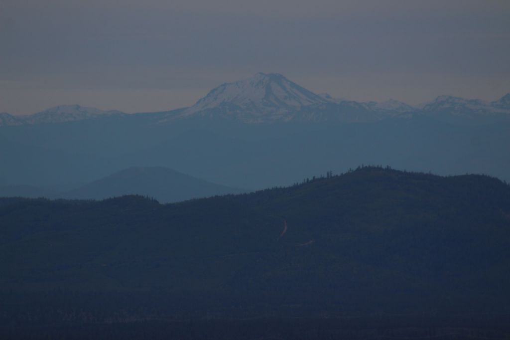
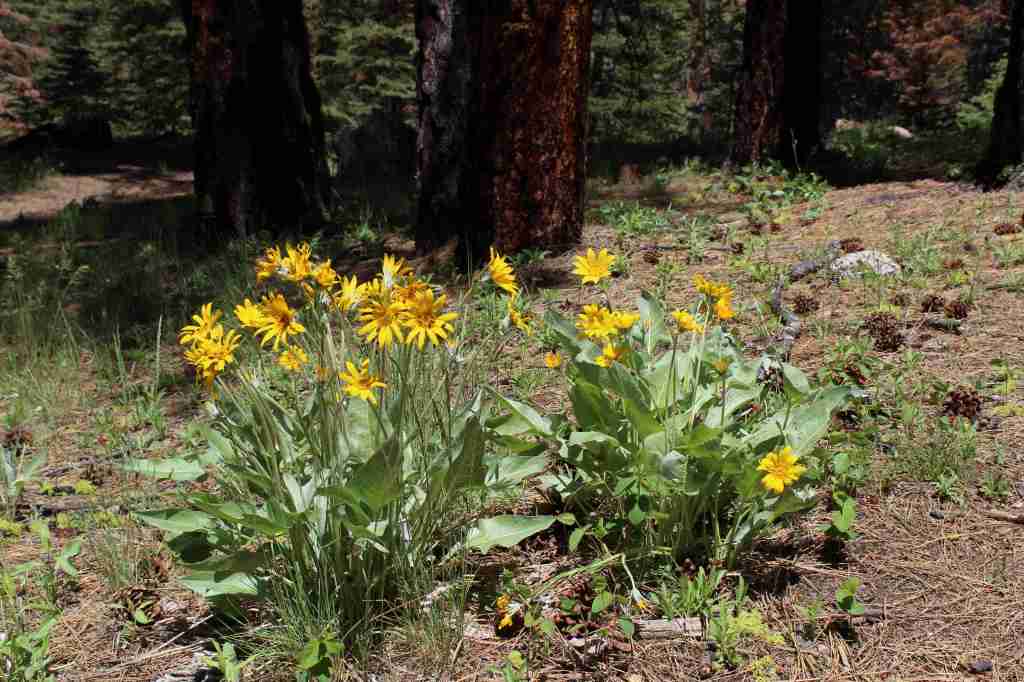
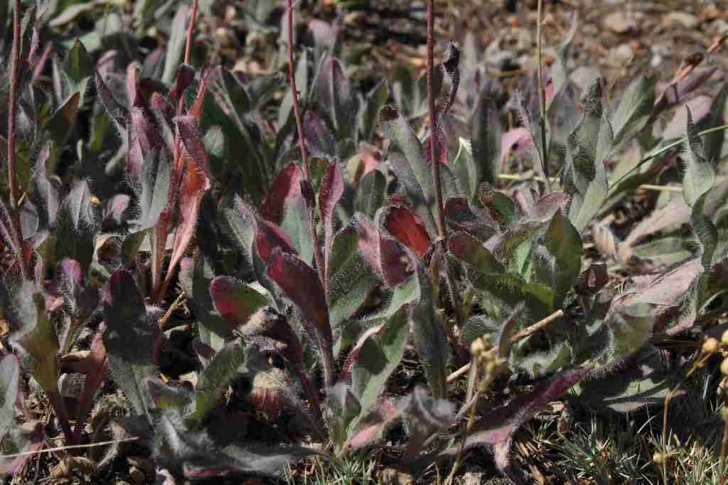
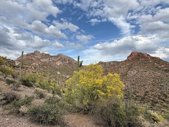
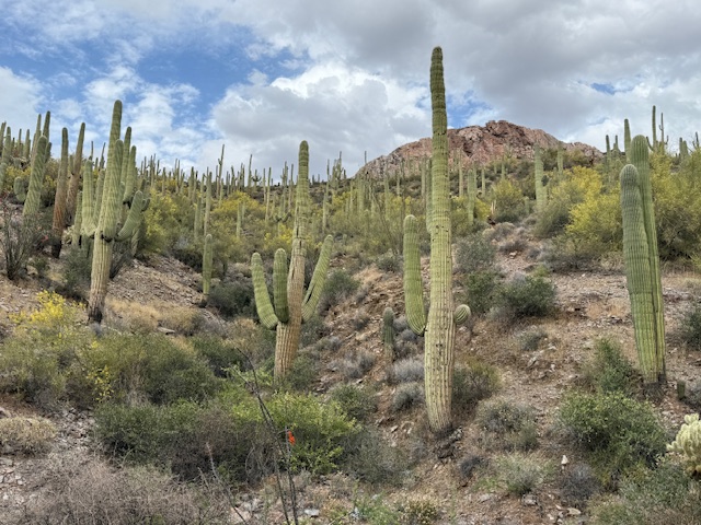
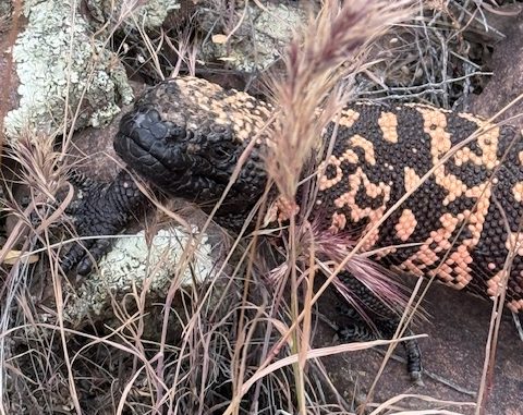
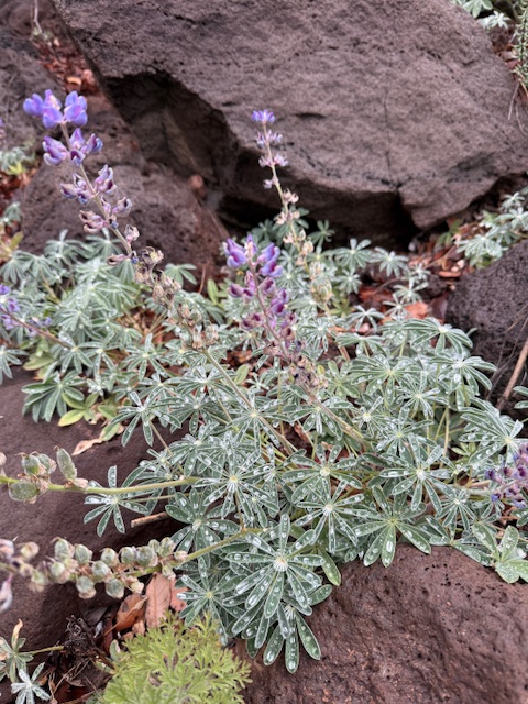
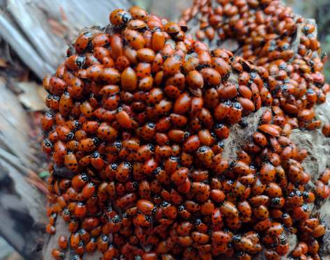
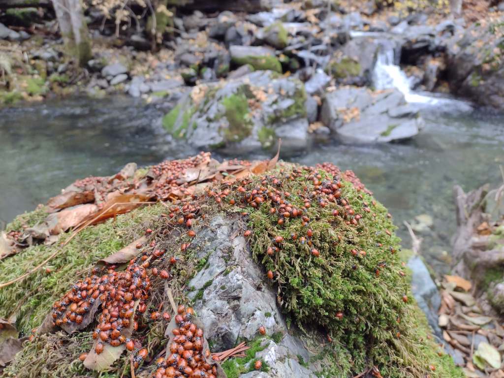
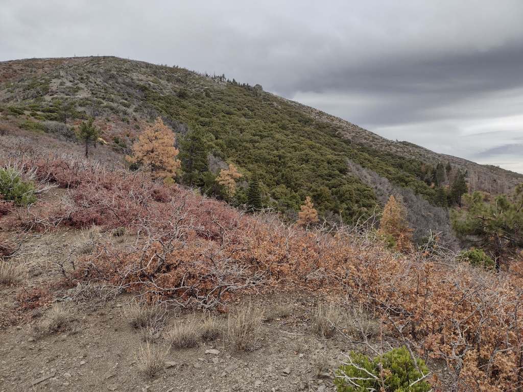
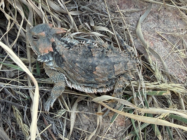
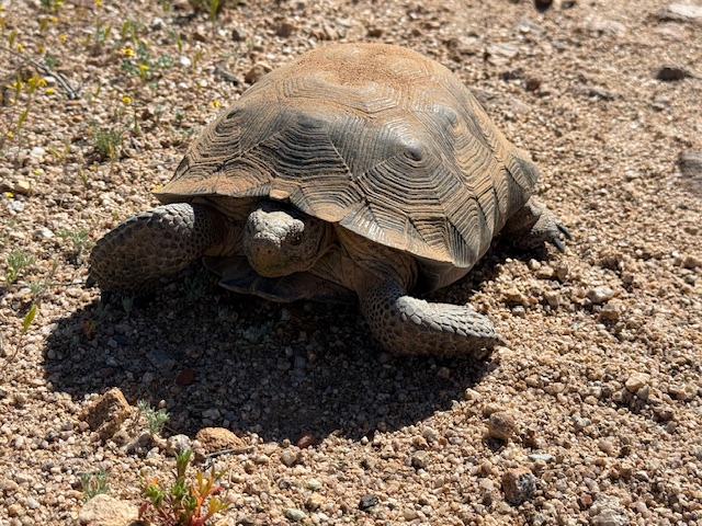
The AZT goes from “spines to pines” and then back and forth between the two again and again. I was excited that after living in Arizona for 11 years of my life, I finally saw my first wild desert tortoise and two Gila monsters in the Sonoran Desert.

Peak Season
March and October
Fees
The only fee required is to pass through 18 miles of Saguaro National Park (an America the Beautiful pass also works)
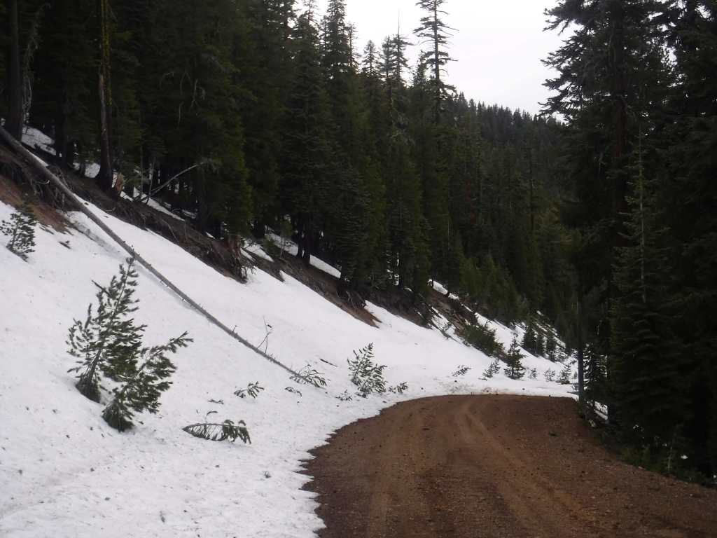
Road Conditions
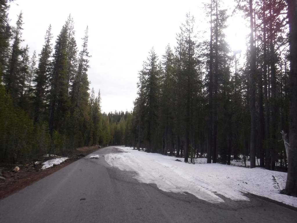
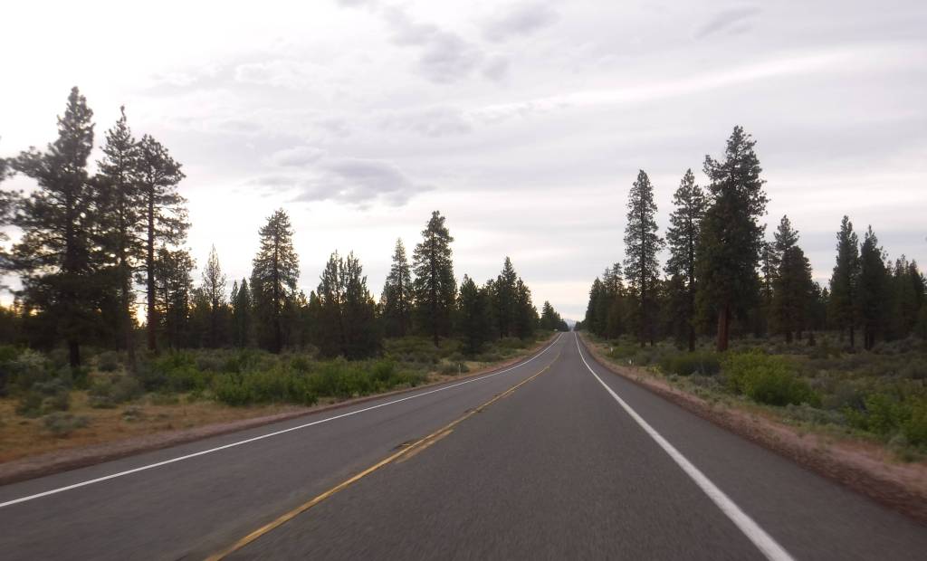
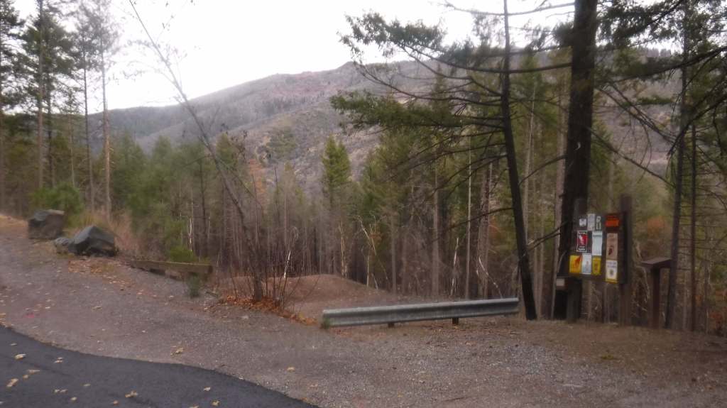
A few trailheads are on paved roads, but most require dirt roads and some are no longer accessible at all. A good but narrow dirt road climbs to Montezuma Pass at Mile 2, while House Rock Valley Road at Mile 800 requires a high-clearance vehicle (and can be impassable when wet). Shuttle services are available by reservation for thru-hikers at both ends.
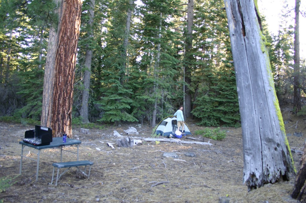
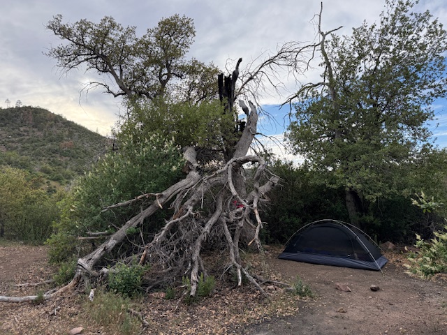
Camping
If thru-hikers wish to camp in the 18 miles of Saguaro National Park that climbs Mica Mountain, they must pay to make a reservation at Grass Shack or Manning Camp. Grand Canyon National Park does not charge for thru-hikers to stay at the hiker-biker campsites on either rim or for a permit to camp at Bright Angel or Cottonwood Campgrounds at the bottom of the canyon. Stateline Campground on the Utah border is small but free with no water available.
Related Sites
Tonto National Forest
Walnut Canyon National Monument
Baaj Nwaavjo I’tah Kukveni–Ancestral Footprints of the Grand Canyon National Monument
Vermilion Cliffs National Monument


Explore More – One of only 11 National Scenic Trails in the U.S., what year was the first official thru-hike on the AZT once the final gap was completed along the Gila River?