Kiowa National Grassland
New Mexico
Managed by U.S. Forest Service, Southwestern Region
137,131 acres
Website: https://www.fs.usda.gov/r03/cibola/recreation/kiowa-national-grasslands-0
Overview
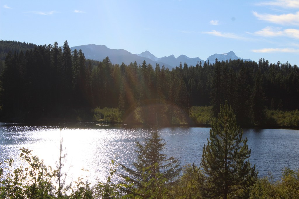
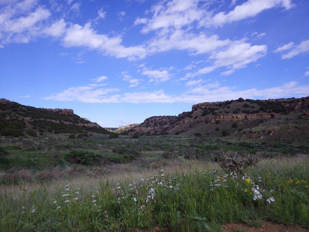
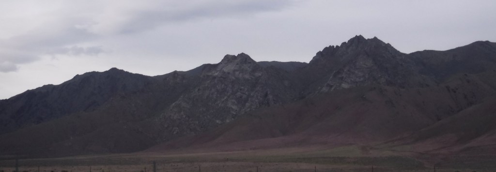
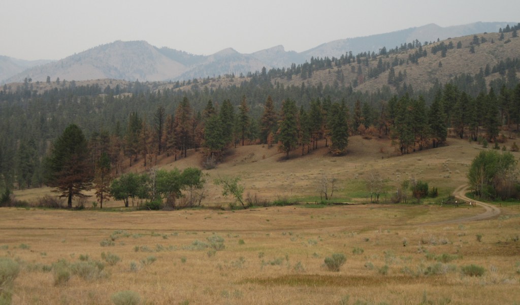
Kiowa National Grassland encompasses two discrete units in northeast New Mexico, the eastern one bordering Texas and Oklahoma’s Rita Blanca National Grassland. This patchwork of public and private lands is administered together with the larger Cibola National Forest and Black Kettle National Grassland. Elevations range from 4,500 up to 6,300 feet in the western unit where La Frontera del Llano Scenic Byway (NM 39) runs north to south. Shortgrass prairie is the dominant cover type, with sand sagebrush and pinyon-juniper woodland mostly found in the west. Ponderosa pines are dispersed on wetter hill faces and riparian areas support Fremont cottonwoods and willows.

Highlights
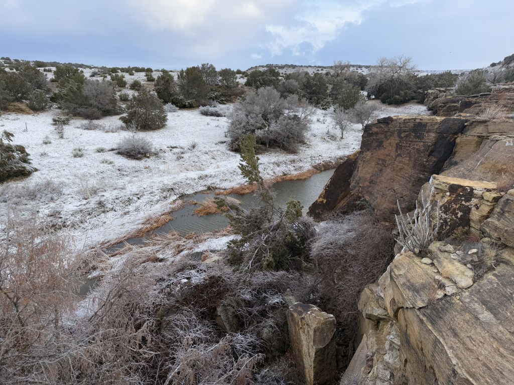
Mills Canyon, Santa Fe National Historic Trail
Must-Do Activity
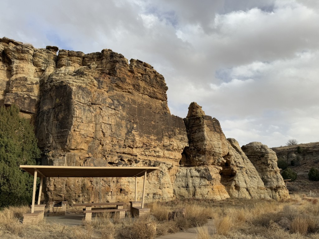
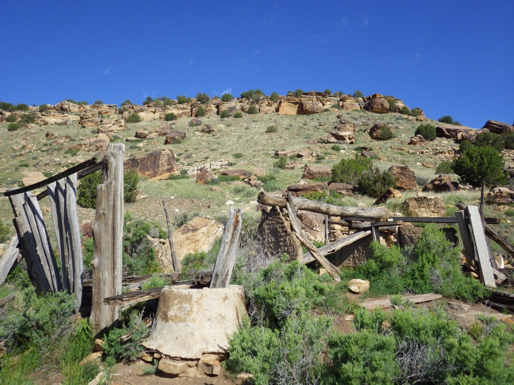
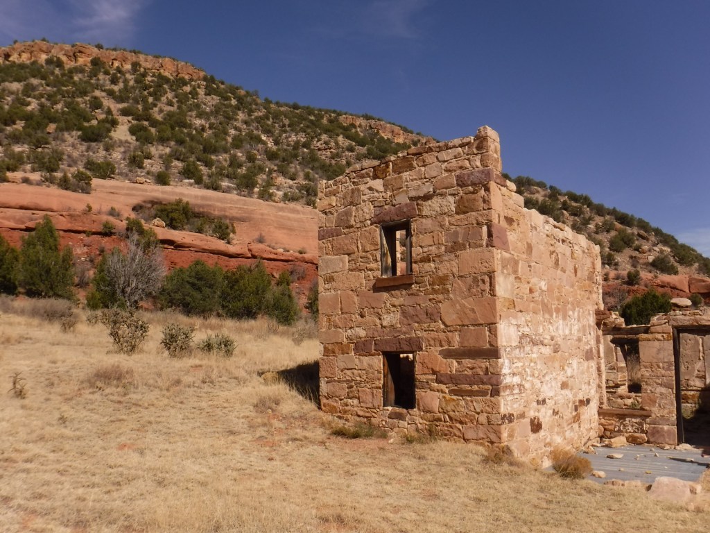
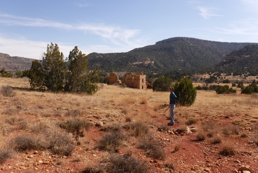
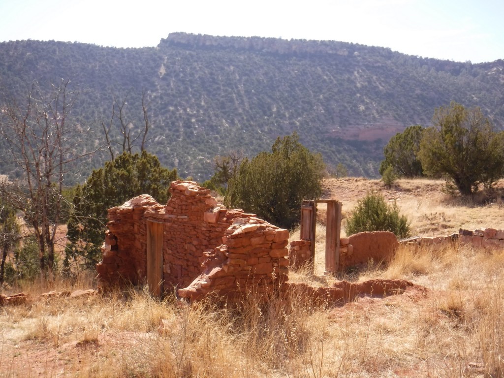
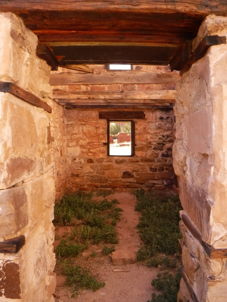
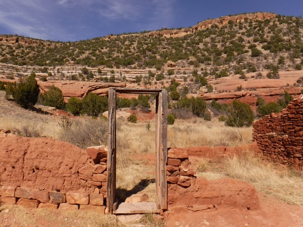
Melvin Mills (an attorney, territorial legislator, and entrepreneur) established the Mills Orchard and Ranch along the Canadian River in 1881. Flash flooding devastated the orchard in 1904, leading to the ranch’s abandonment a decade later. In 2005, the U.S. Forest Service and National Park Service collaborated to restore three ranch buildings, and for their efforts they won the Windows on the Past Award for historic preservation. There are also interpretive signs and a free campground at the bottom of Mills Canyon, located nine miles down unpaved Mills Canyon Road.
Best Trail
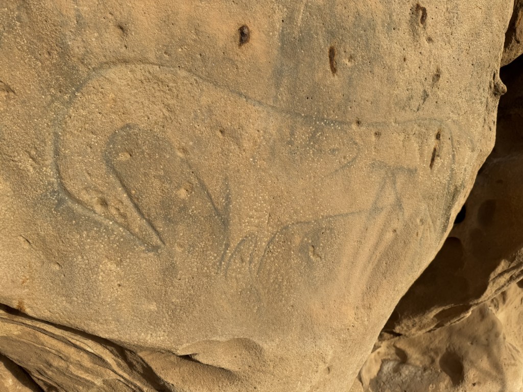
A three-mile stretch of the Santa Fe National Historic Trail’s Cimarron Route is marked by rock posts 17 miles north of Clayton, and it is open for walking and horseback riding. There are interpretive signs along the route and wagon ruts remain visible.
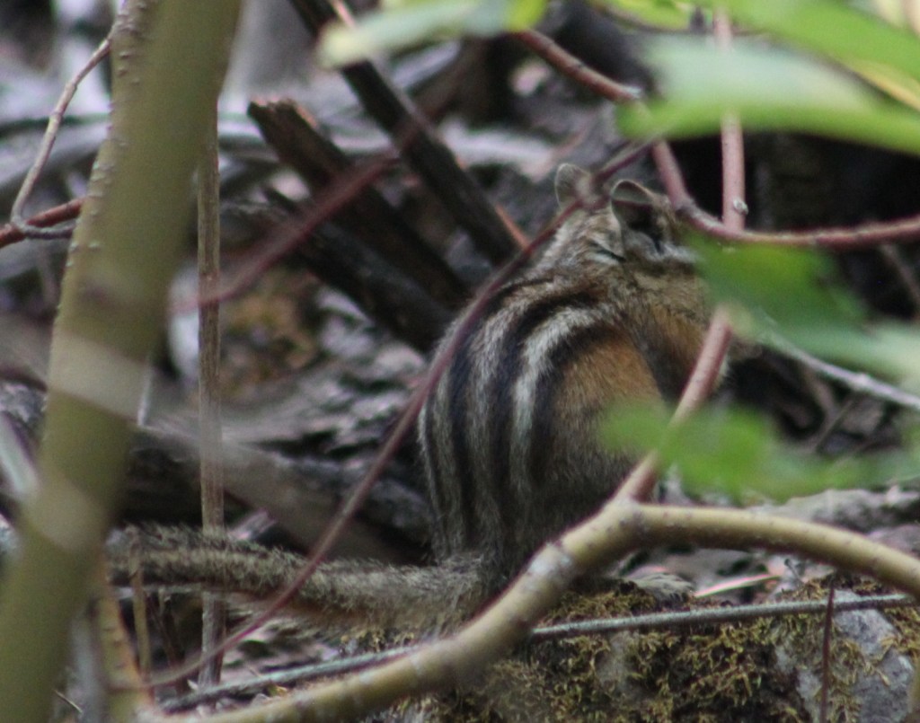
Watchable Wildlife
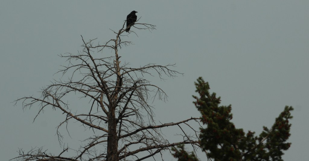
An introduced herd of Barbary sheep are thriving in the Mills Canyon area. The Canadian River supports largemouth bass and channel catfish. Nomadic Naturalists blog reported seeing swift foxes, spiny softshell turtles, black-chinned sparrows, and pinyon jays on their visit.
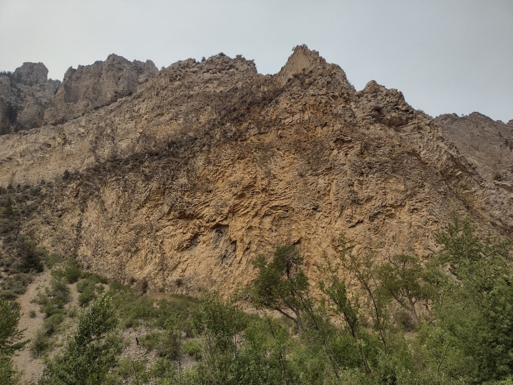
Photographic Opportunity
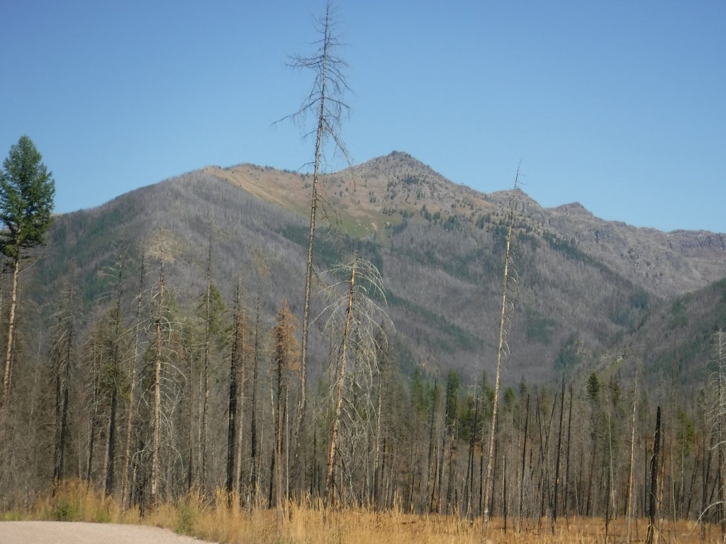
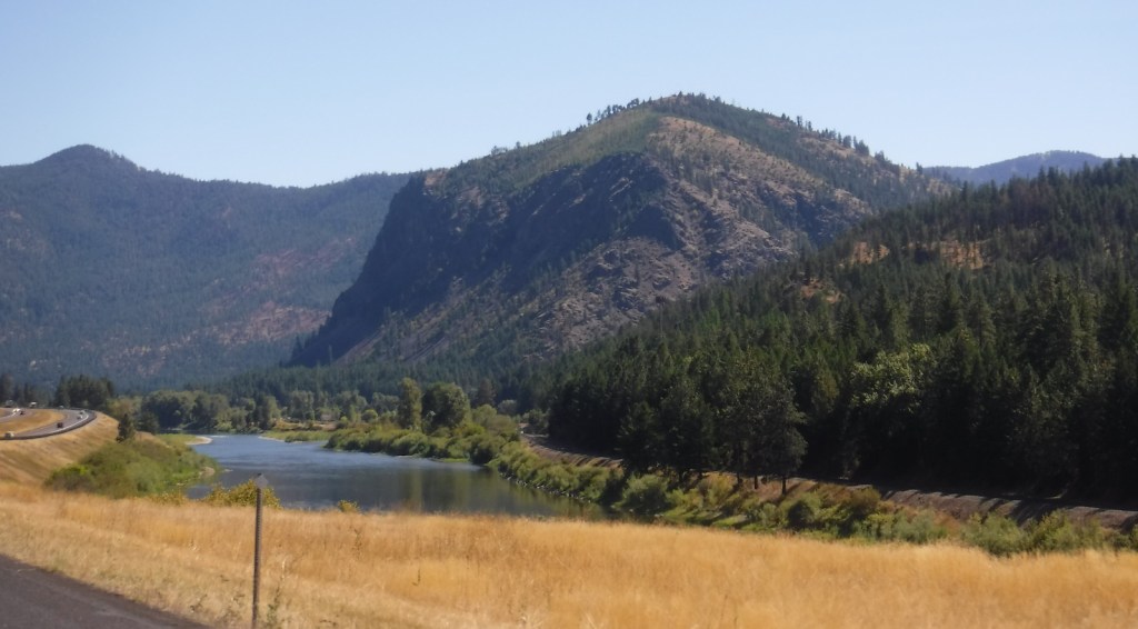
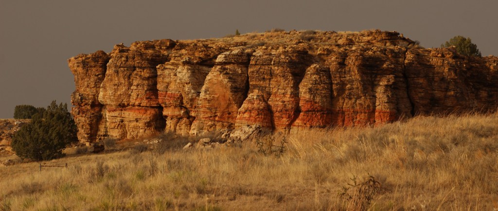
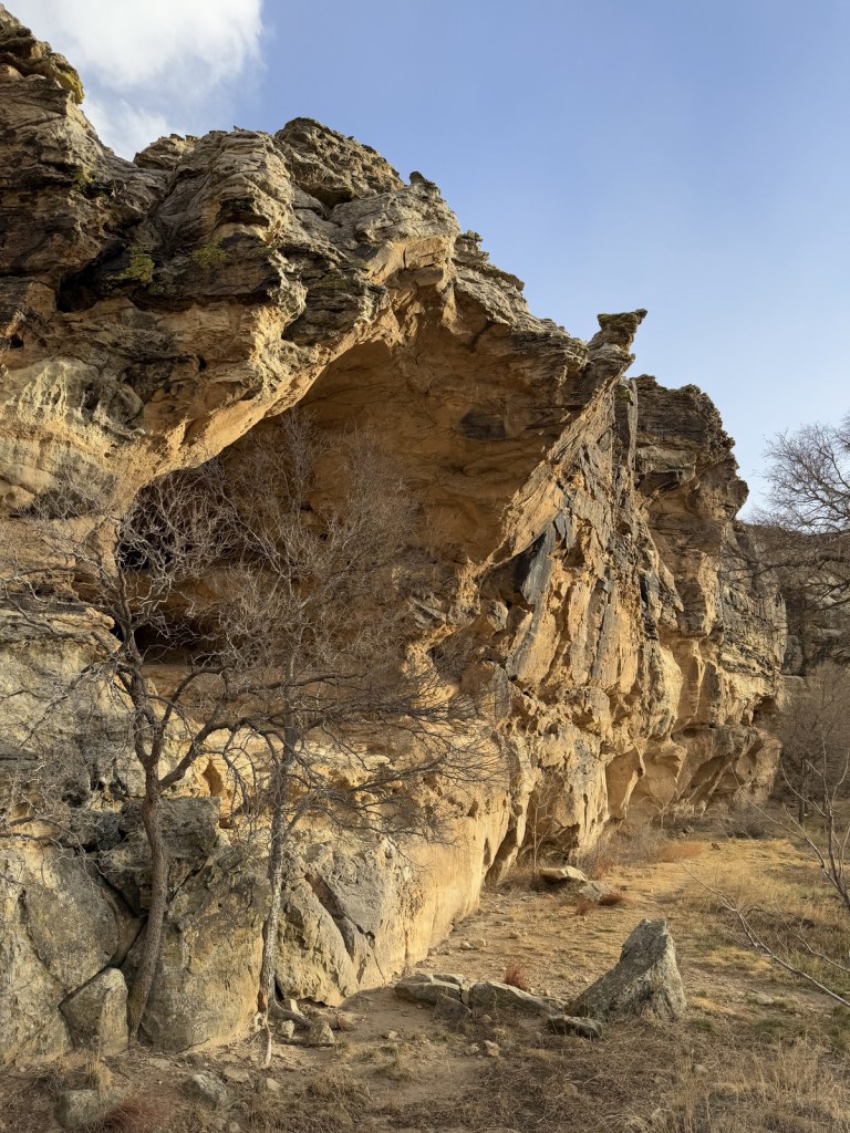
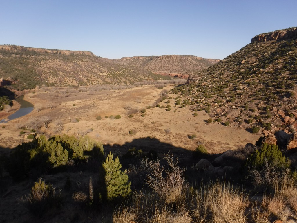
Mills Canyon was cut by the Canadian River through sedimentary rocks ranging in age from 200-million to 90-million years old.

Peak Season
Summer
Fees
None
Road Conditions
Past Mills Canyon Rim Campground, the unpaved Mills Canyon Road #600 is not recommended for trailers or passenger vehicles as it switchbacks down into Mills Canyon. A high-clearance vehicle is also recommended for the two-track paralleling the Santa Fe National Historic Trail’s Cimarron Route.
Camping
Both the Mills Canyon Rim Campground (6 campsites) and Mills Canyon Campground (12 sites) are free with vault toilets, but no water. Dispersed camping is allowed in the eastern unit around the Santa Fe National Historic Trail.
Related Sites
Cimarron National Grassland (Kansas)
Bent’s Old Fort National Historic Site (Colorado)
Comanche National Grassland (Colorado)
Fort Union National Monument (New Mexico)
Nearest National Park


Explore More – As an attorney, Melvin Mills’ work often involved outlaws, American Indians, and politicians; who saved his life when he was nearly hanged by an angry mob?