Monongahela National Forest
West Virginia
Managed by U.S. Forest Service, Northern Region
1,706,898 acres (921,150 federal/ 785,748 other)
Website: https://www.fs.usda.gov/r09/monongahela
Overview
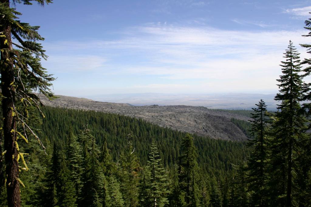
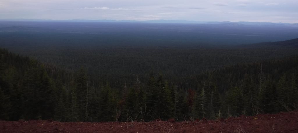
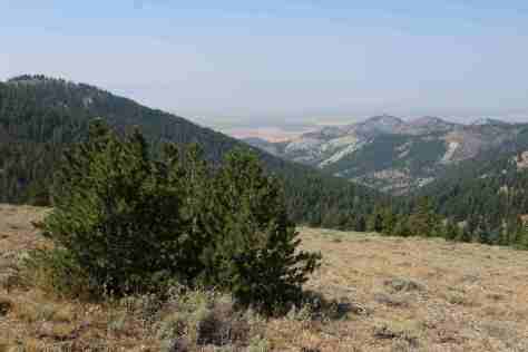
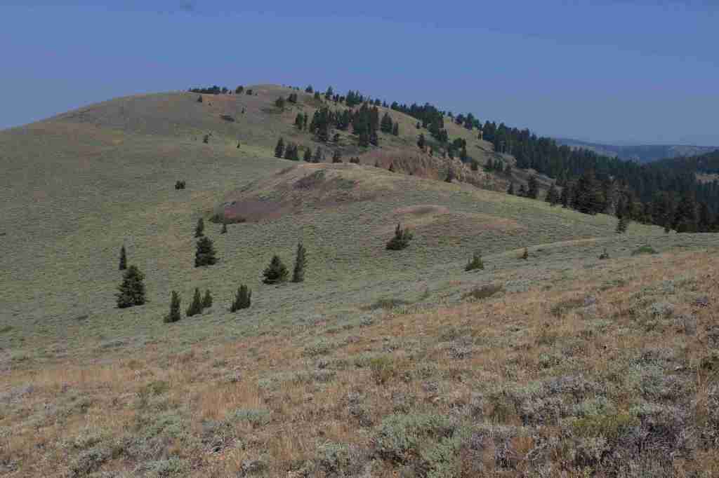
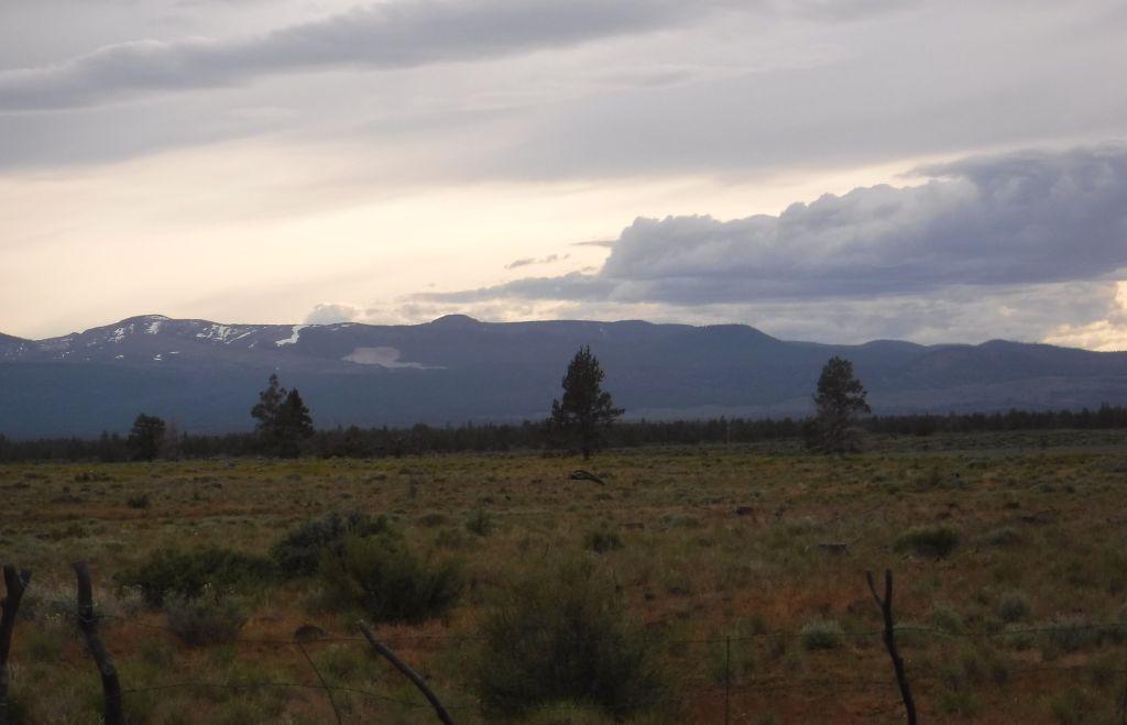
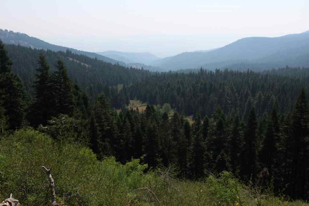
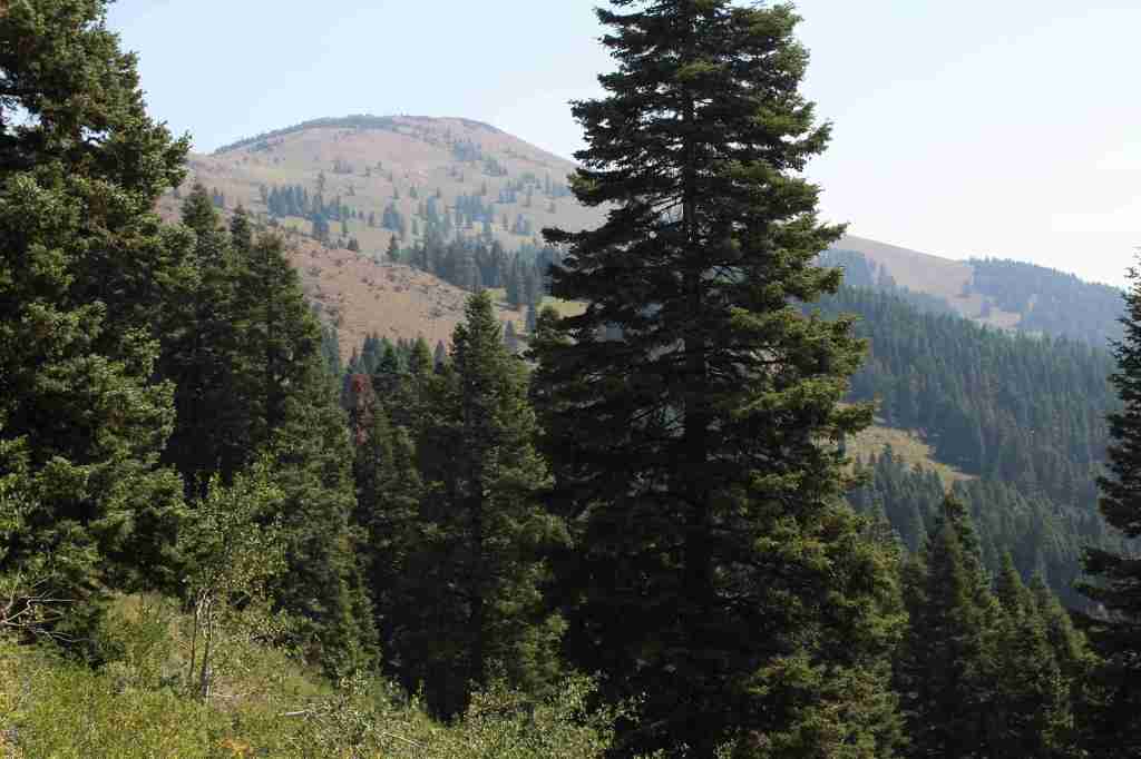
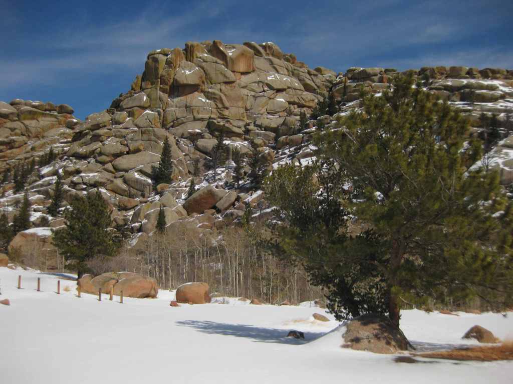
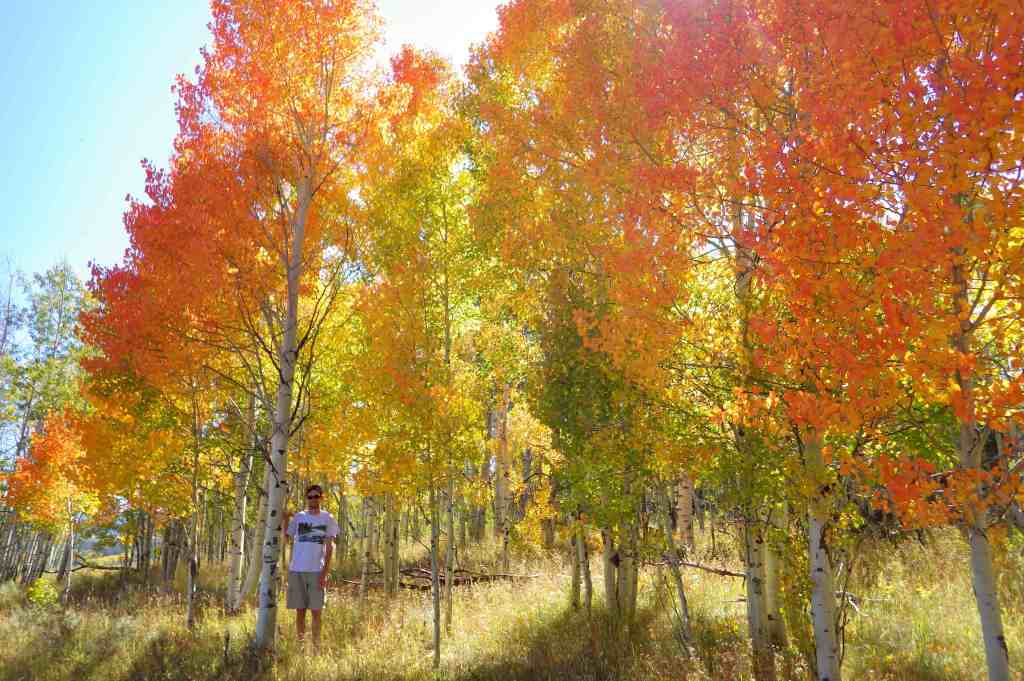
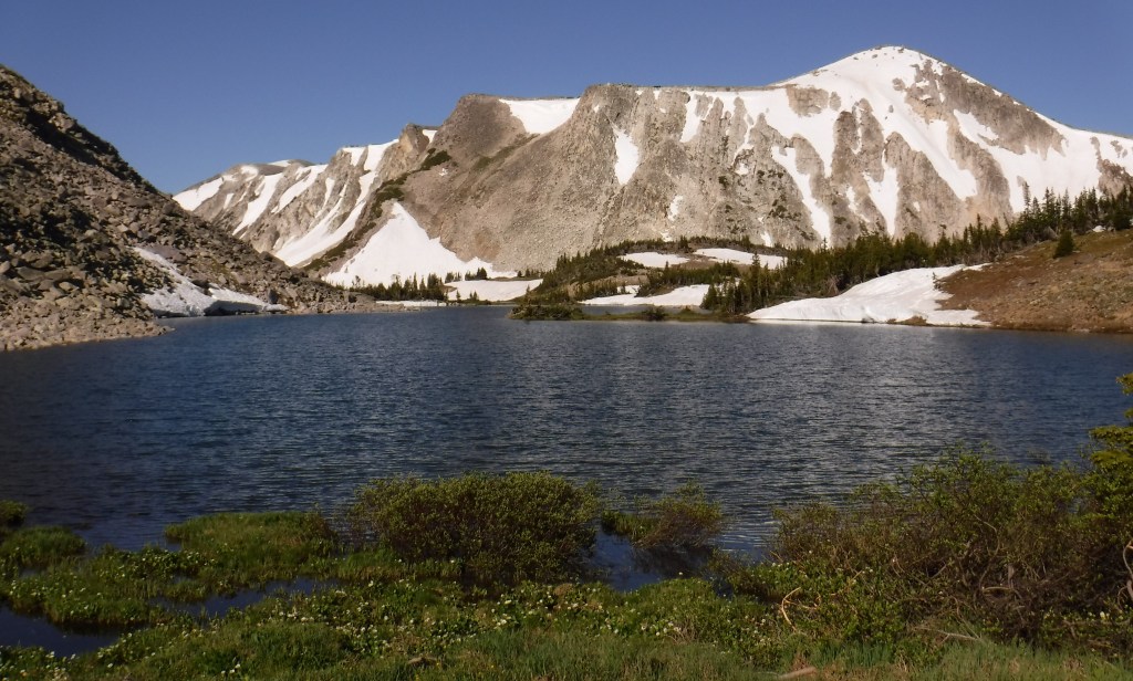
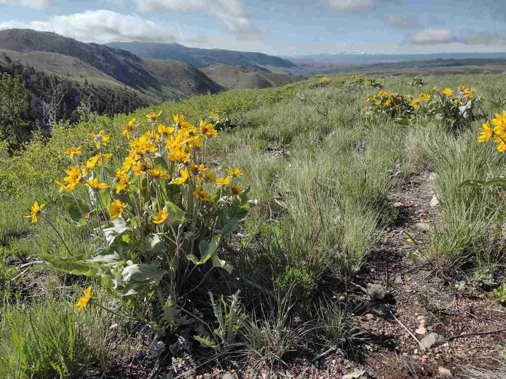
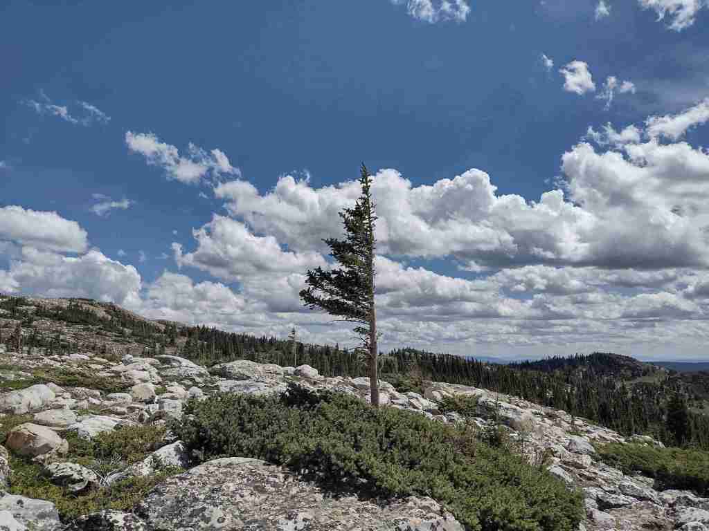
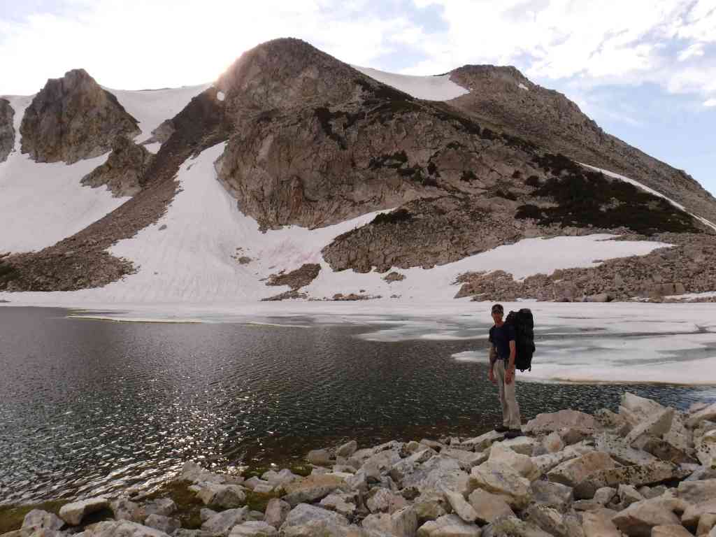
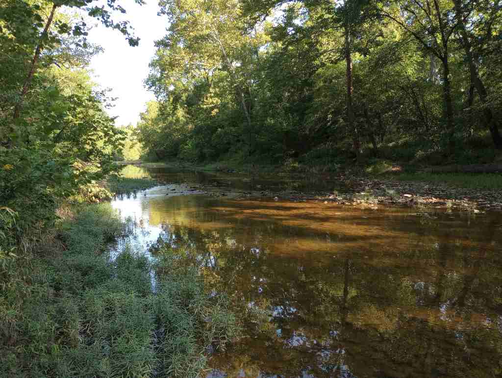
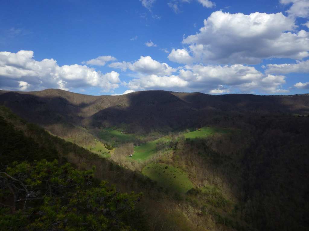
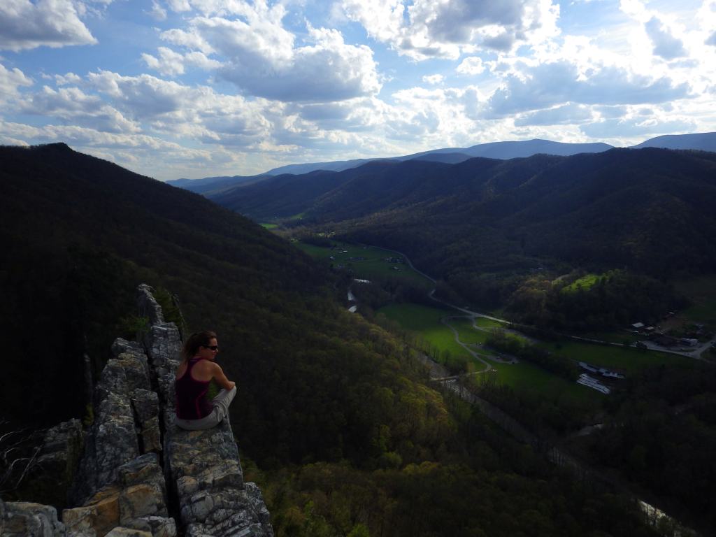
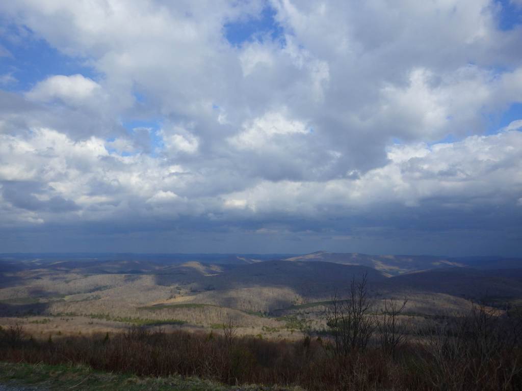
Monongahela National Forest contains the highest point in West Virginia, 4,863-foot-tall Spruce Knob with an observation tower for seeing over the trees at its summit. It is part of Spruce Knob-Seneca Rocks National Recreation Area (see our full blog post), which is very popular with rock climbers. The National Forest’s initial 7,200 acres were purchased by the federal government in 1915, and it the grew to 150,367 acres over the next decade. During World War II, the U.S. Army utilized the area as an artillery and mortar range, in addition to training soldiers in climbing techniques at Seneca, Nelson, and Champe Rocks. This area receives an average of 60 inches of annual precipitation on the west side of the Allegheny Front and only half that on the rain shadow side. It is the headwaters of six major rivers: the Monongahela, Potomac, Greenbrier, Elk, Tygart, and Gauley.
Know someone who loves the National Forests? Gift them our travel guidebook Out in the Woods so they can learn more about all 155 National Forests.
Highlights
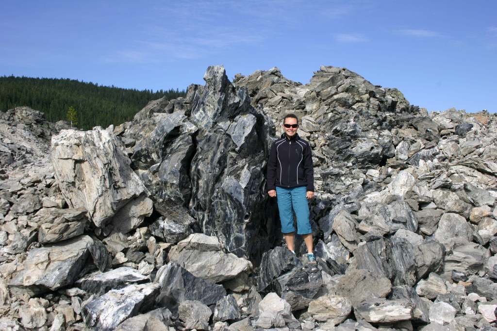
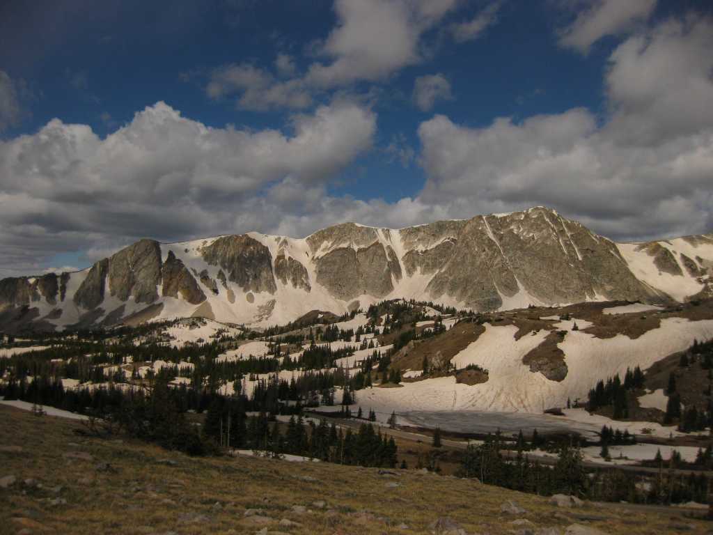
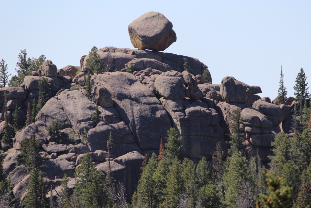
Spruce Knob-Seneca Rocks National Recreation Area, Cranberry Glades Botanical Area, Highland Scenic Highway, Lake Sherwood Recreation Area, Gaudineer Knob Scenic Area, Cassell Cave, Sinks of Gandy, Stuart Memorial Drive, Champe Rocks, Dolly Sods Scenic Area
Must-Do Activity
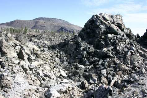
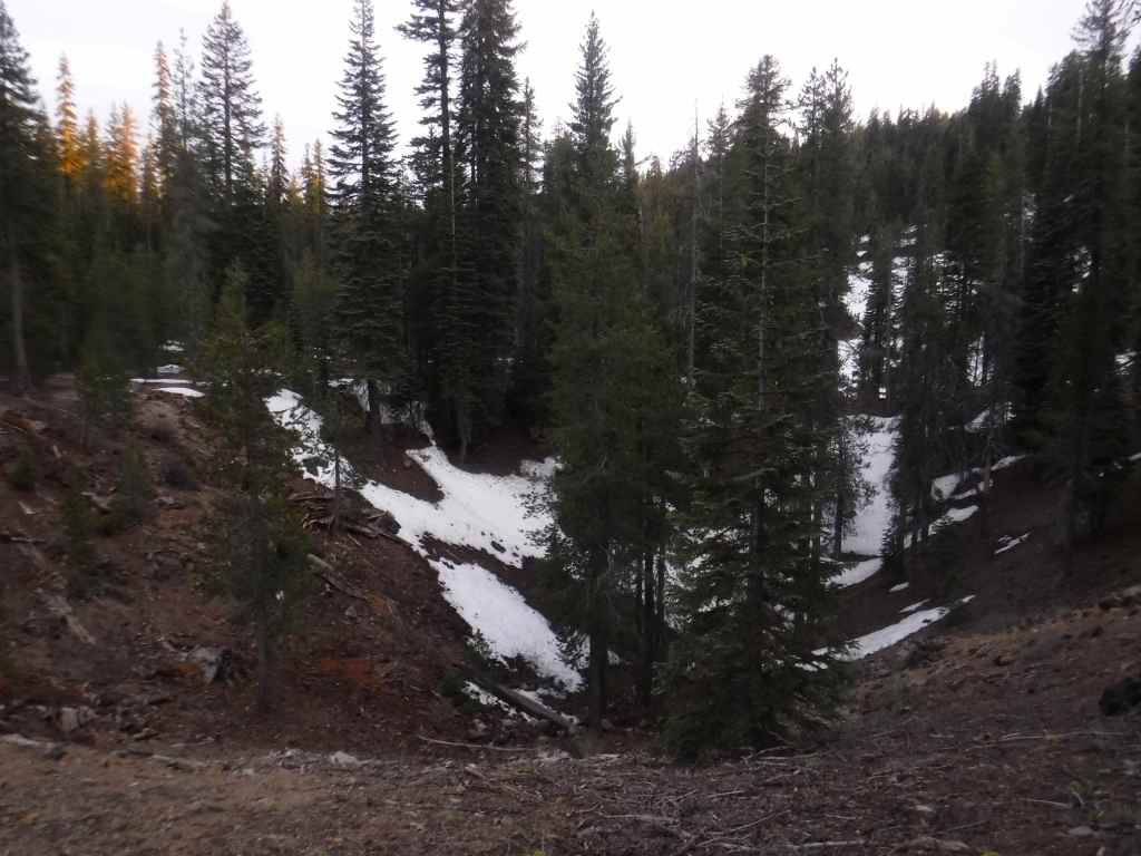
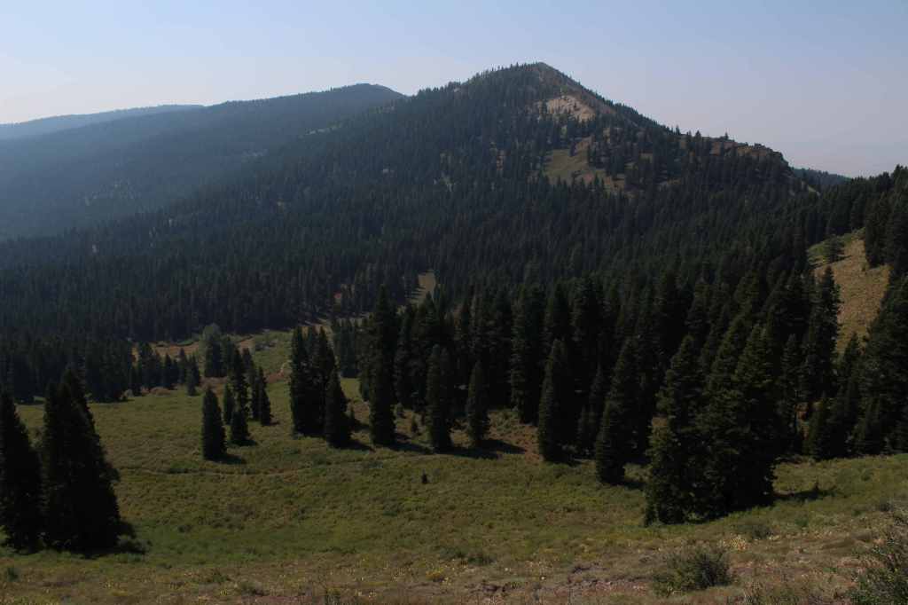
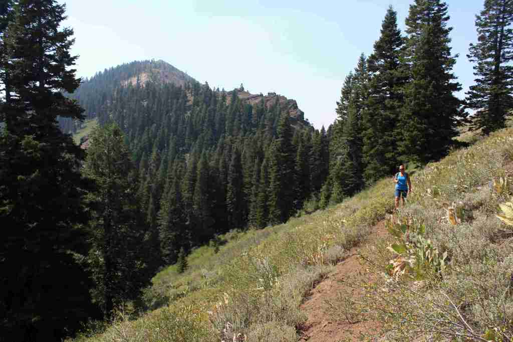
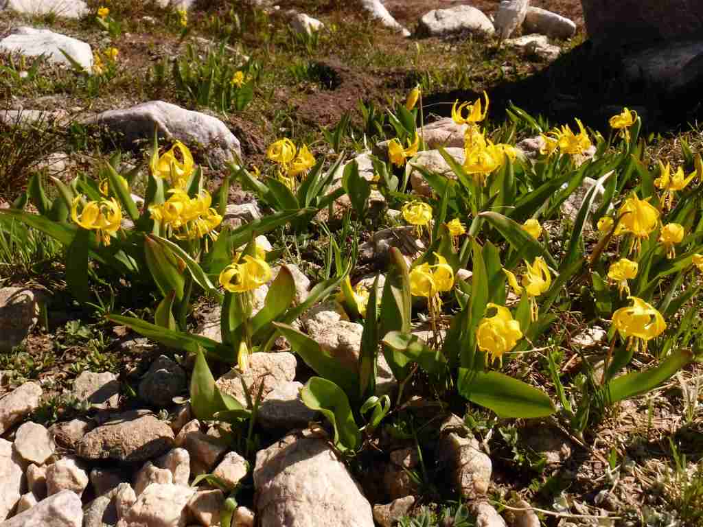
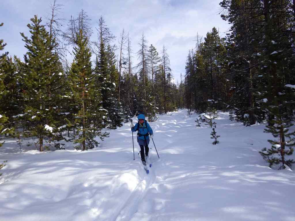
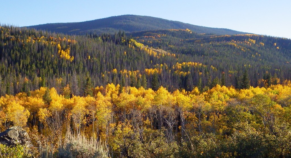
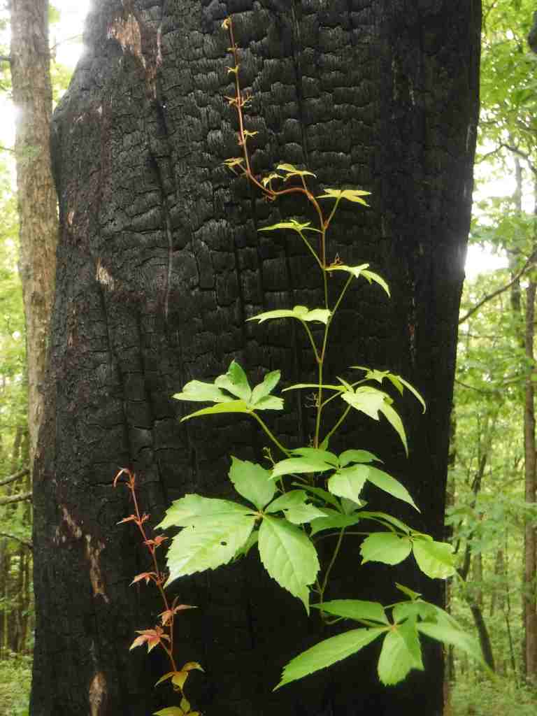
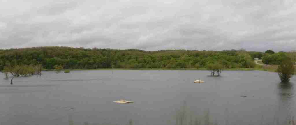
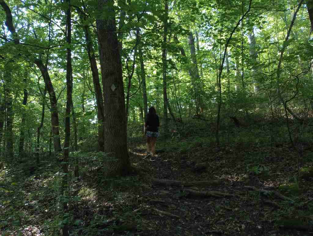
There are 94,991 acres in eight designated Wildernesses in Monongahela National Forest, more than half of which is in the Cranberry Wilderness. A boardwalk traverses the bogs at Cranberry Glades Botanical Area, which has a visitor center run by the Forest Service. Fishing is a popular pastime, especially at Lake Sherwood, Spruce Knob Lake, and Lake Buffalo. When winter conditions are right, there is a snowmobile area on Highland Scenic Highway. The forest is mostly second growth, but 318 acres of old-growth remains, which can be seen at Fanny Bennett Hemlock Grove, Gaudineer Scenic Area (for red spruce), Shavers Mountain Spruce-Hemlock Stand, North Fork Mountain Red Pine Botanical Area, North Spruce Mountain Old Growth Site, and Virgin White Pine Botanical Area.
Best Trail
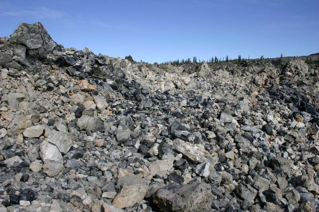
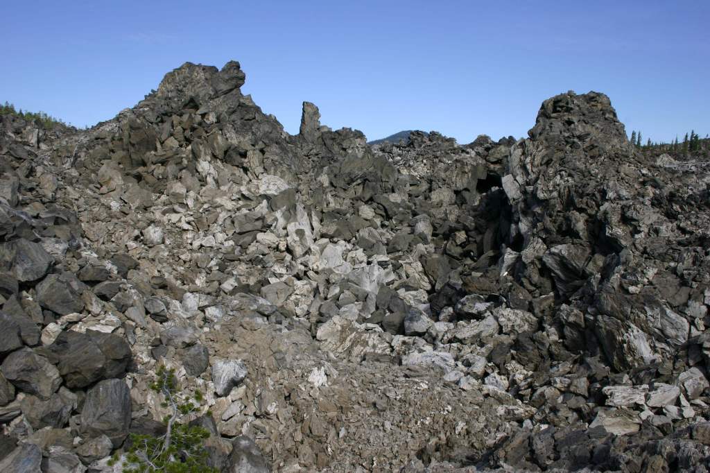
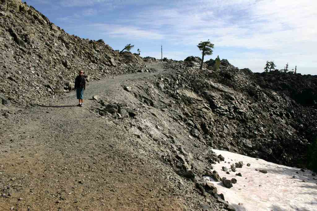
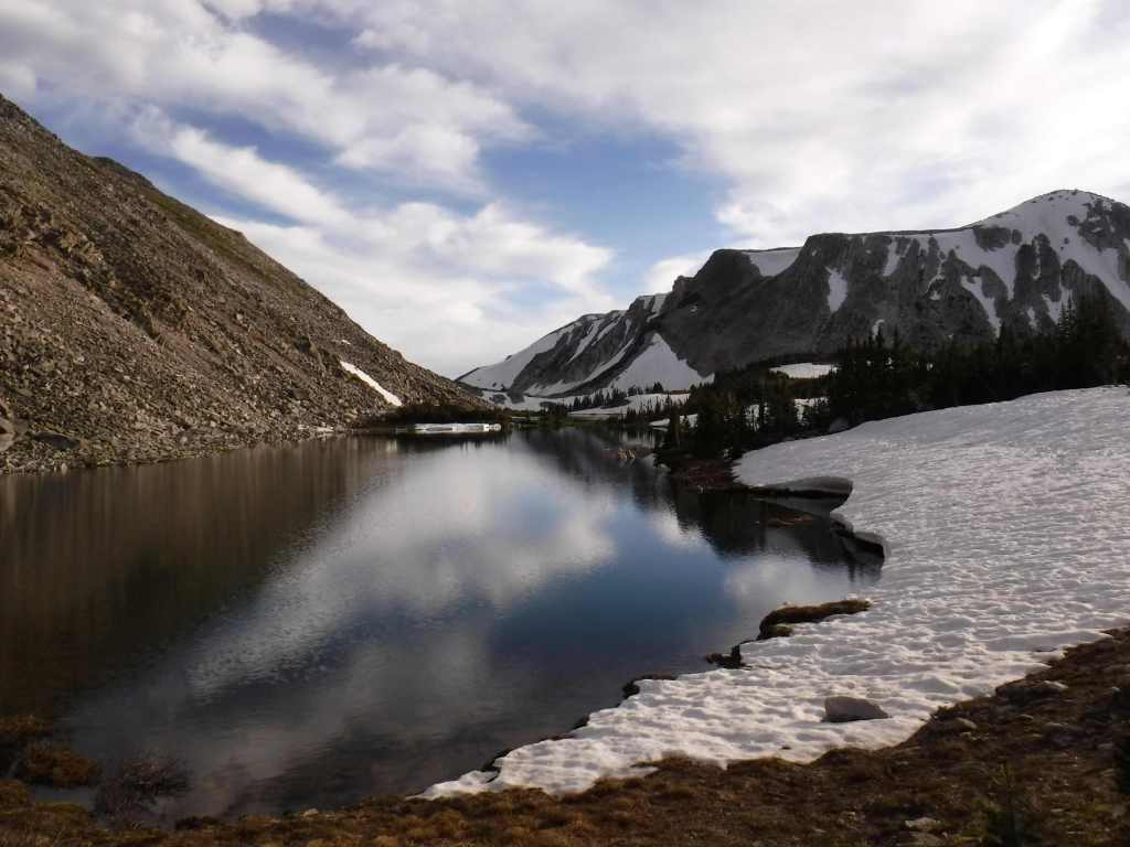
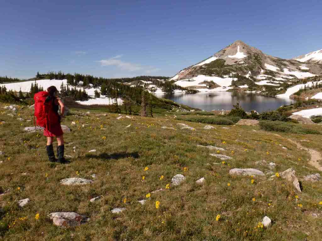
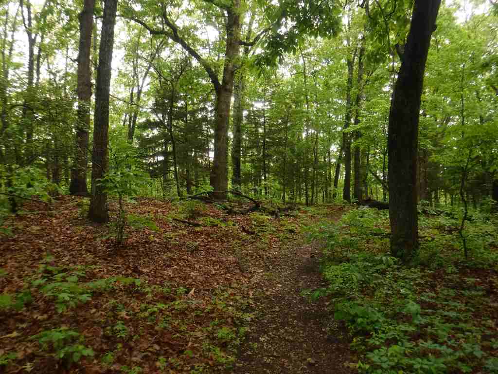
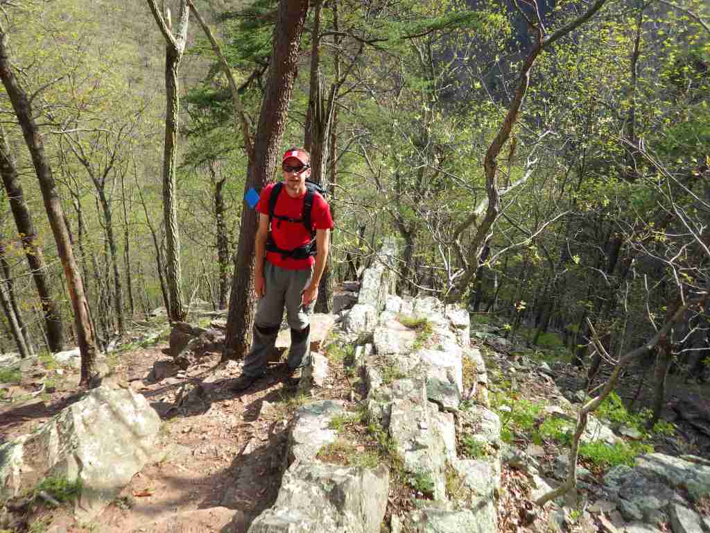
There is great hiking in Spruce Knob-Seneca Rocks National Recreation Area, and other trails can be found at Lake Sherwood Recreation Area, Falls of Hill Creek Scenic Area, Mt. Porte Canyon, and Stuart Recreation Area. The 17,371-acreDolly Sods Wilderness encompasses much of the Red Creek drainage with high-elevation bogs and heaths like those found in southern Canada.
Watchable Wildlife
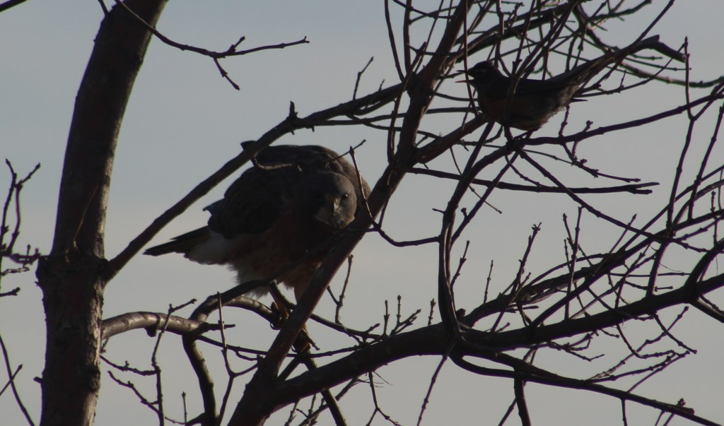
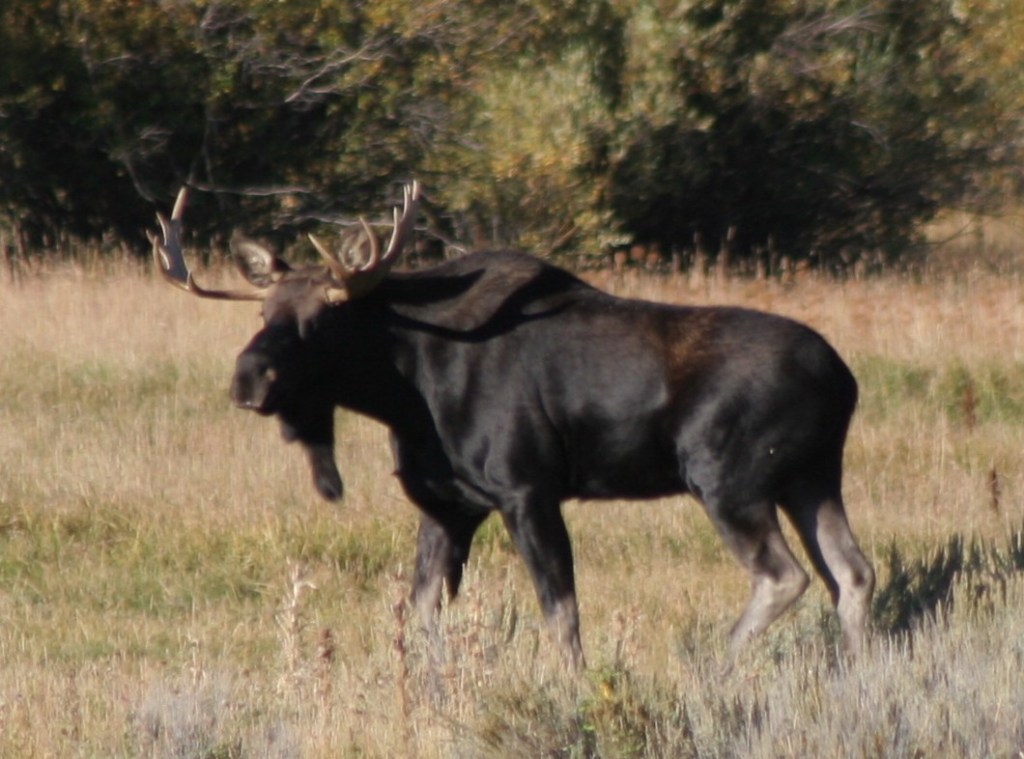
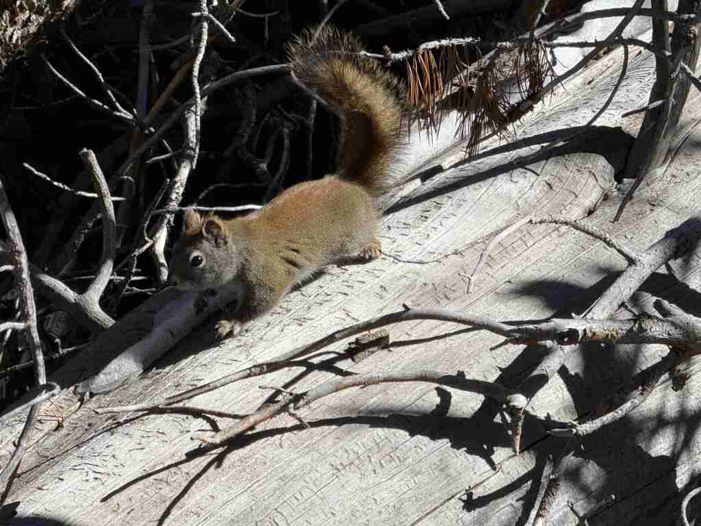
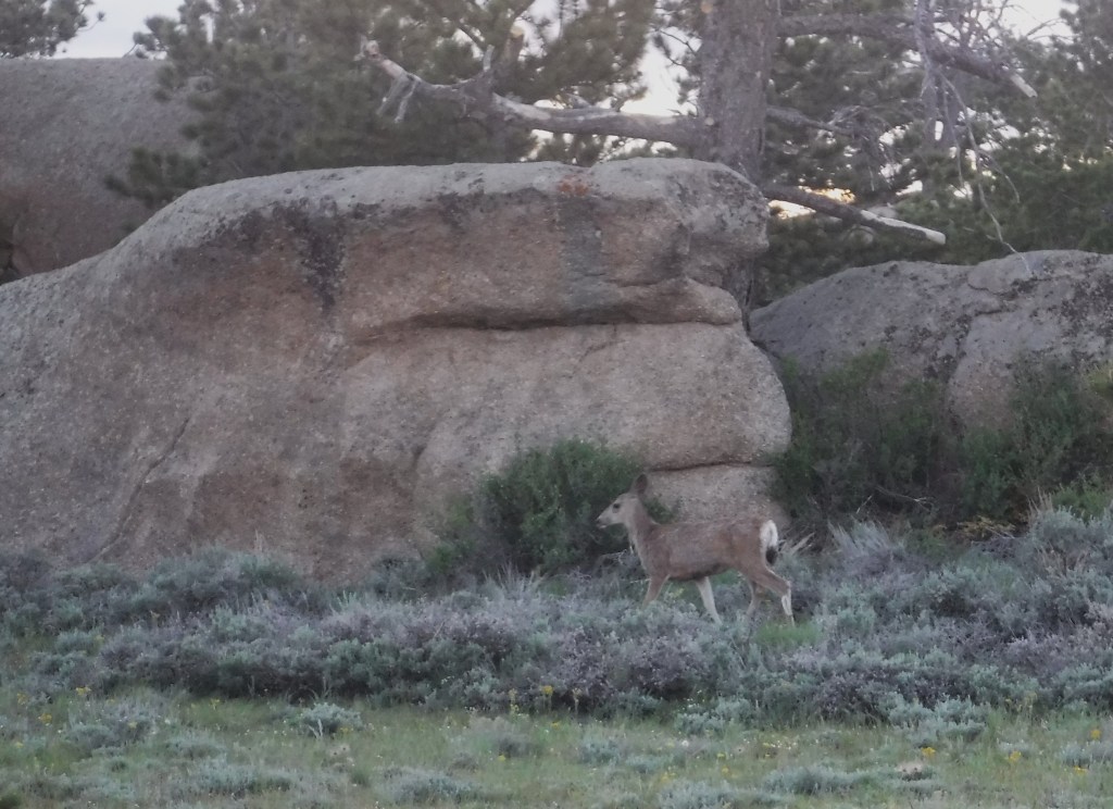
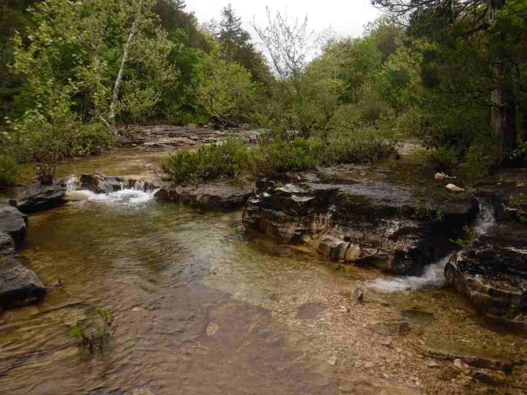
It is hard to believe given their abundant numbers today, but in the 1930s white-tailed deer had to be reintroduced from Michigan. In 1969, 23 fishers were reintroduced from New Hampshire. Other large mammals include black bear, red and gray fox, coyote, bobcat, snowshoe hare, beaver, river otter, raccoon, mink, skunk, and opossum. Of the 230 bird species identified, 159 are known to breed here. Approximately 90% of the trout waters in West Virginia are within the National Forest, and trout are stocked at Spruce Knob Lake and other locations.
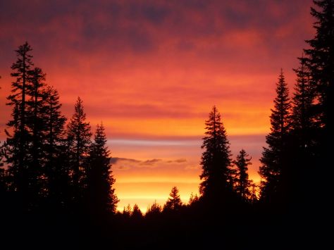
Photographic Opportunity
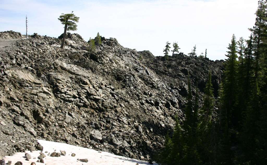
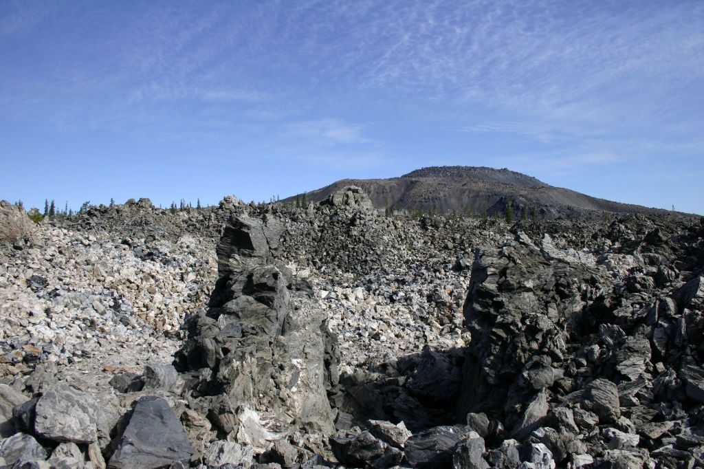
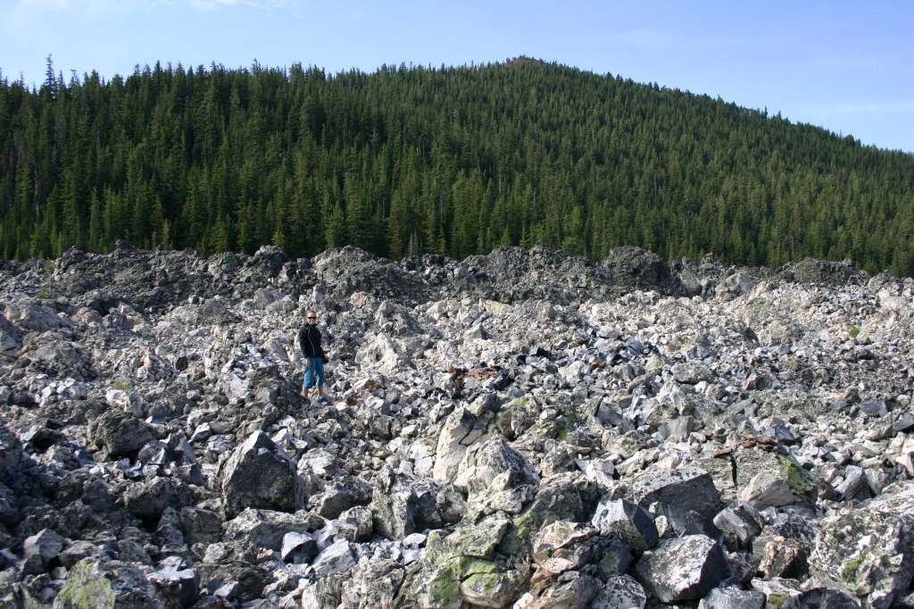
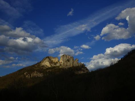
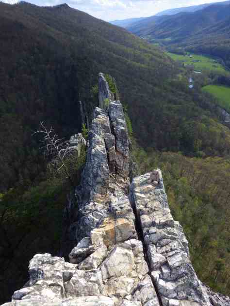
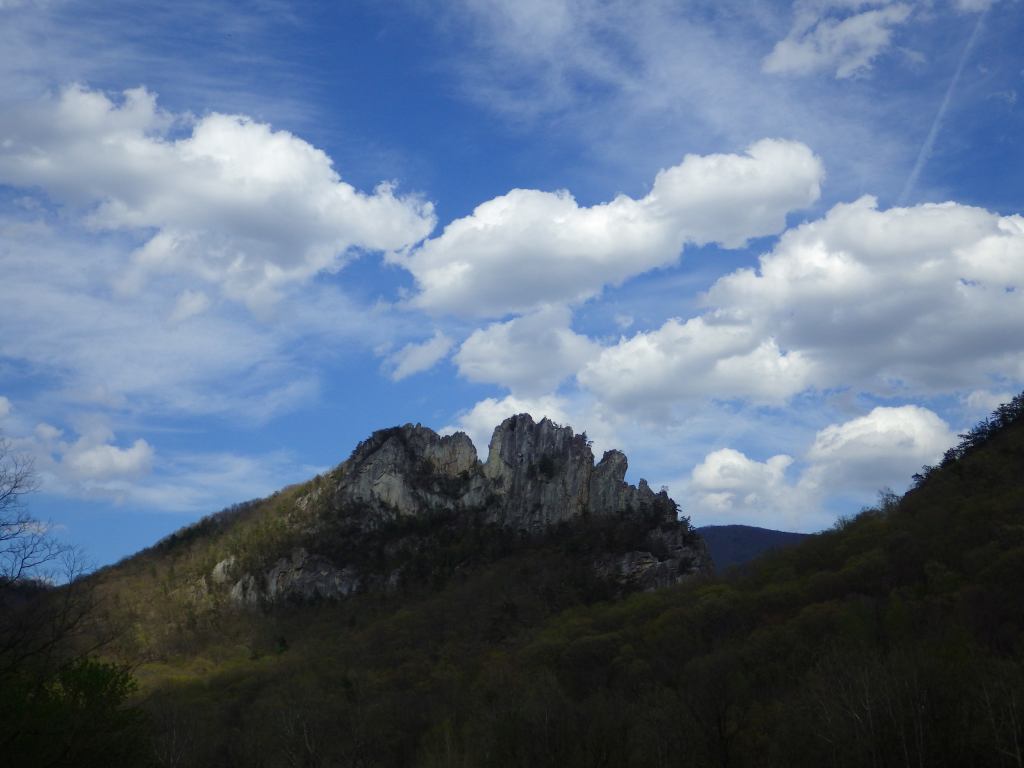
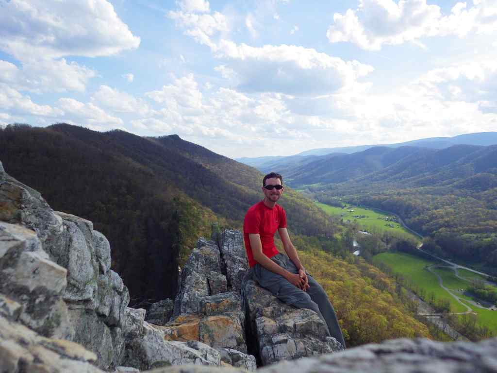
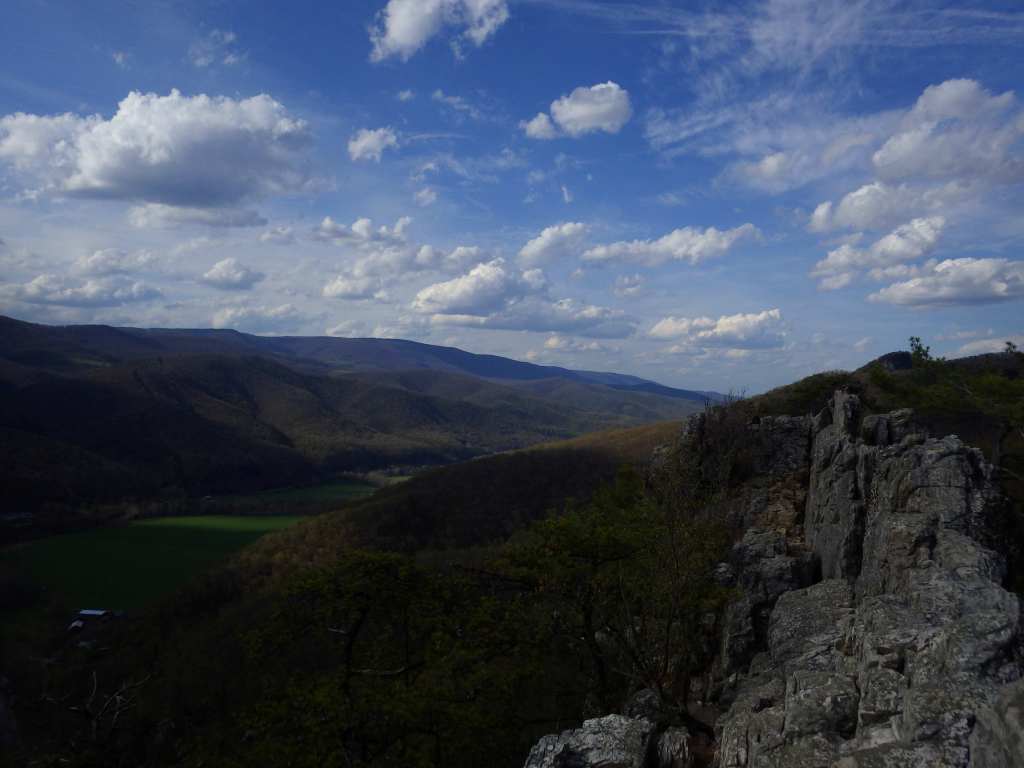
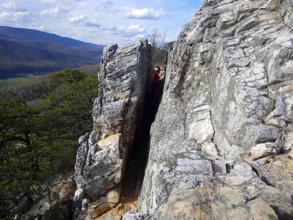
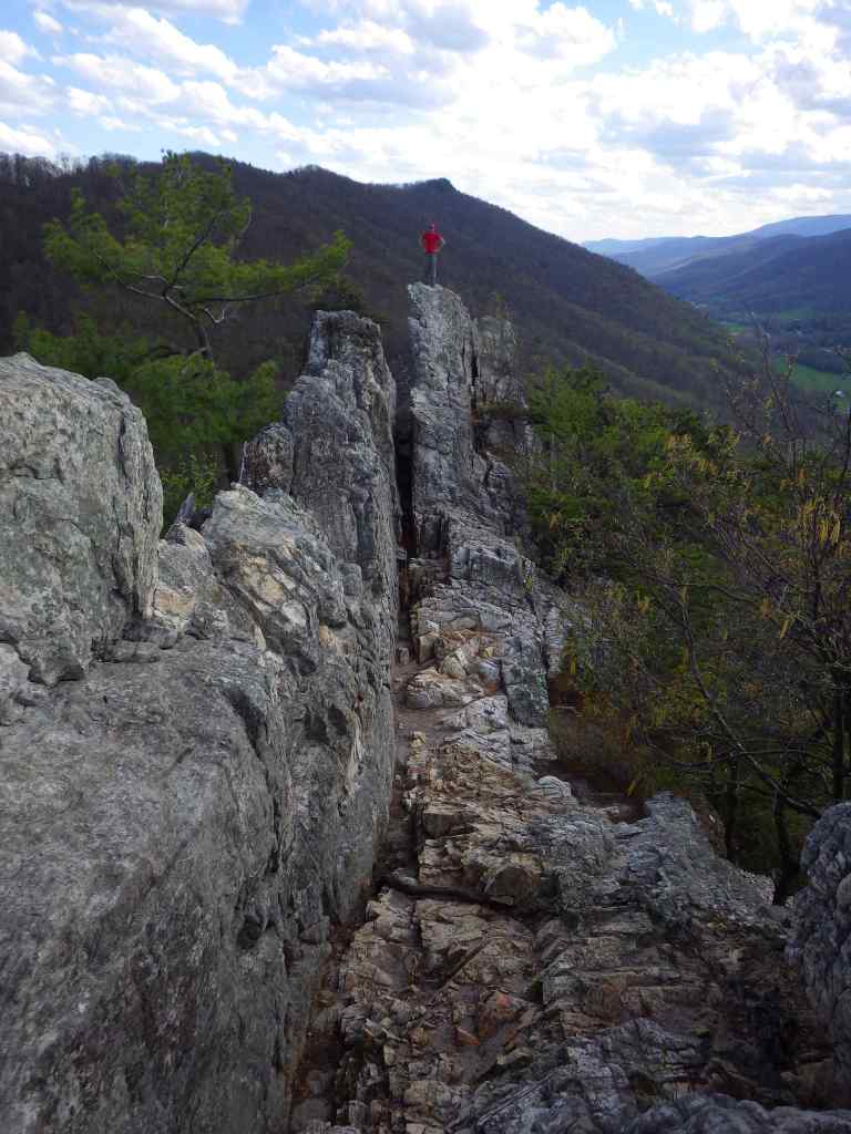
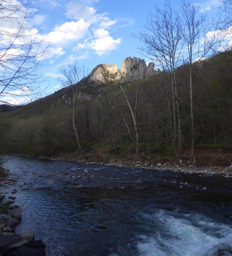
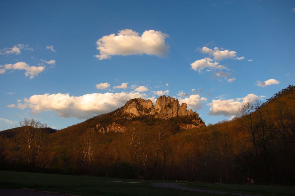
The iconic Seneca Rocks are a 900-foot-tall quartzite crag heavily used by rock climbers. On October 22, 1987, a prominent pinnacle dubbed “the Gendarme” fell to the ground.
Peak Season
Summer
Fees
A day use fee applies at Lake Sherwood Recreation Area.
Road Conditions
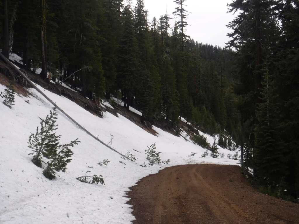
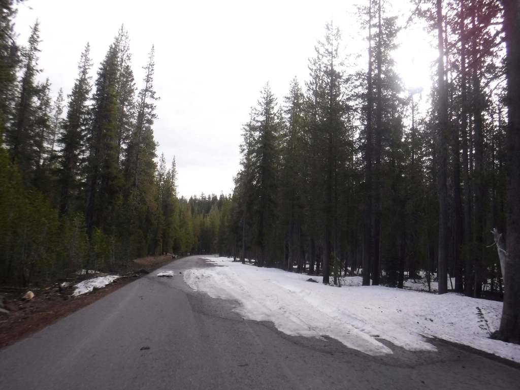
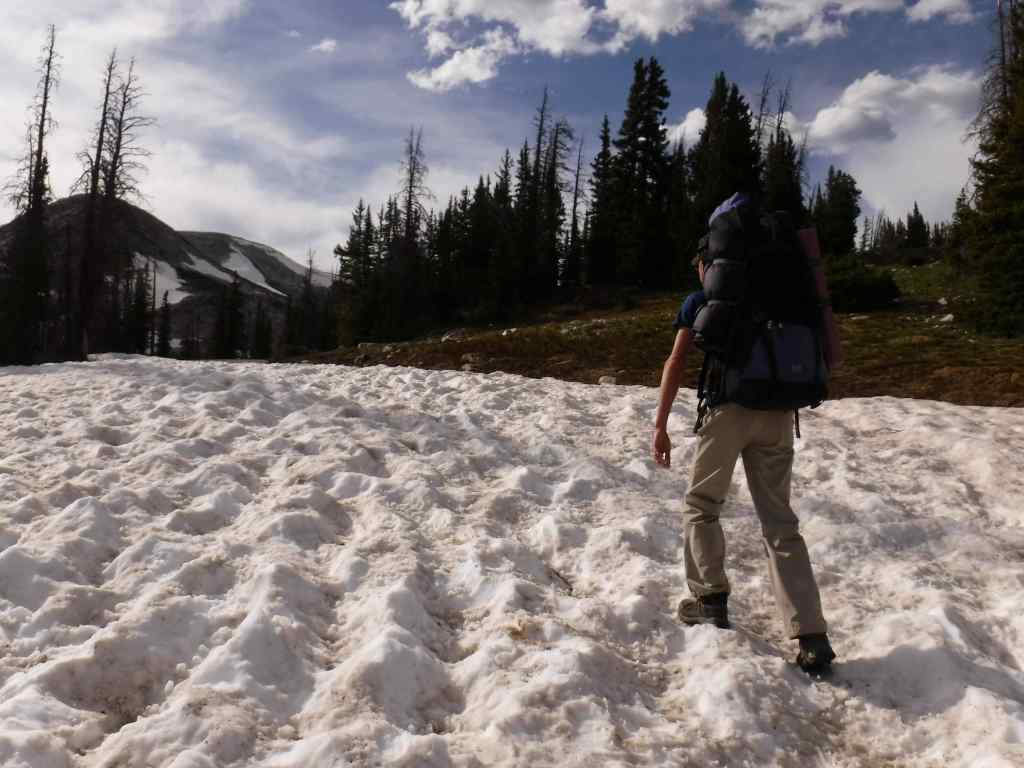
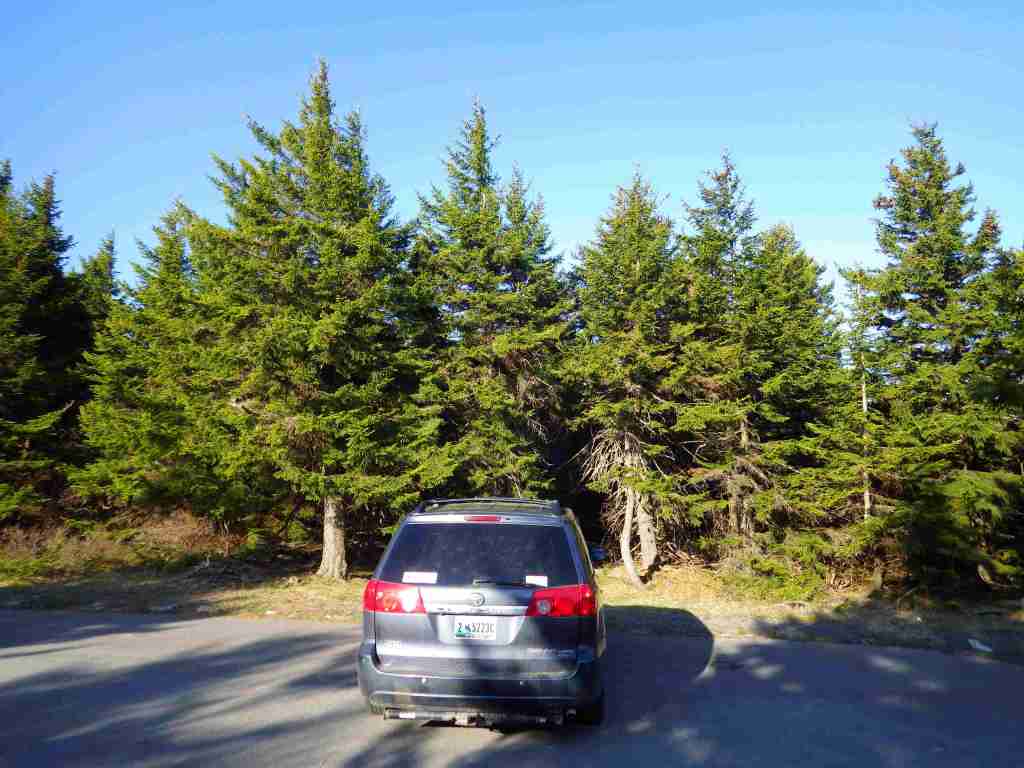
Most roads are open year-round, including the paved road to the top of Spruce Knob when it is snow-free.
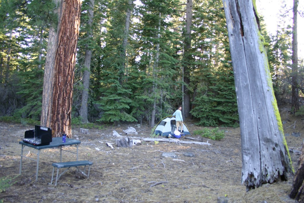
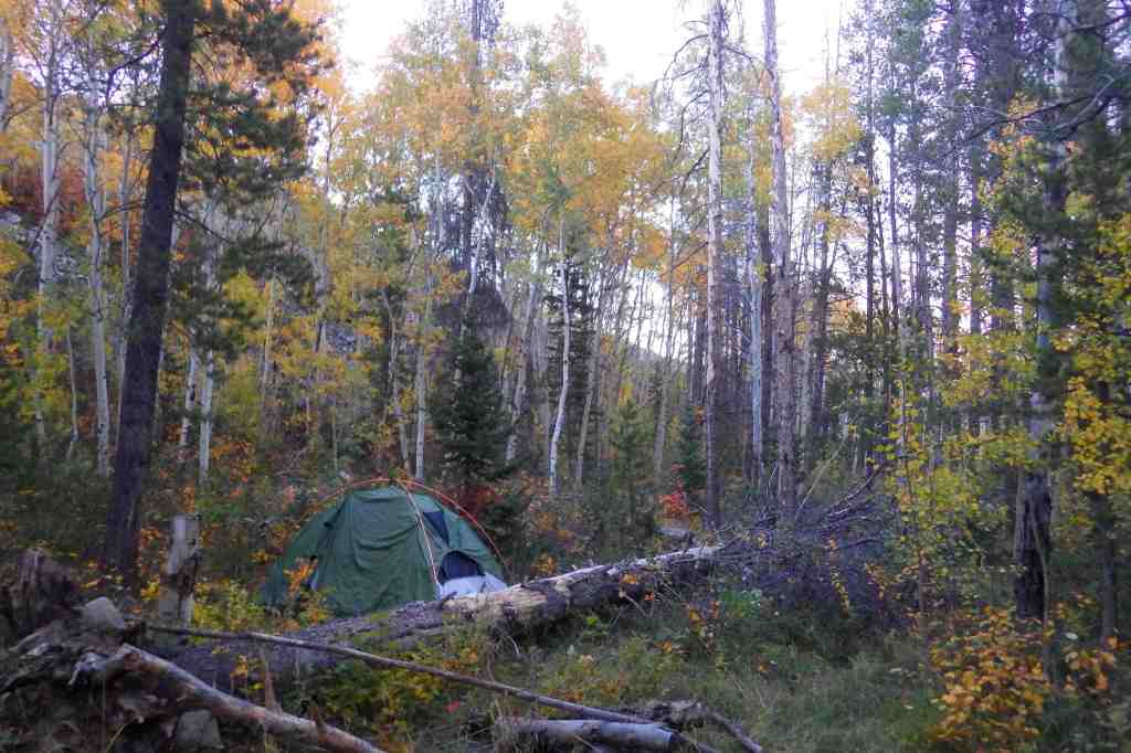
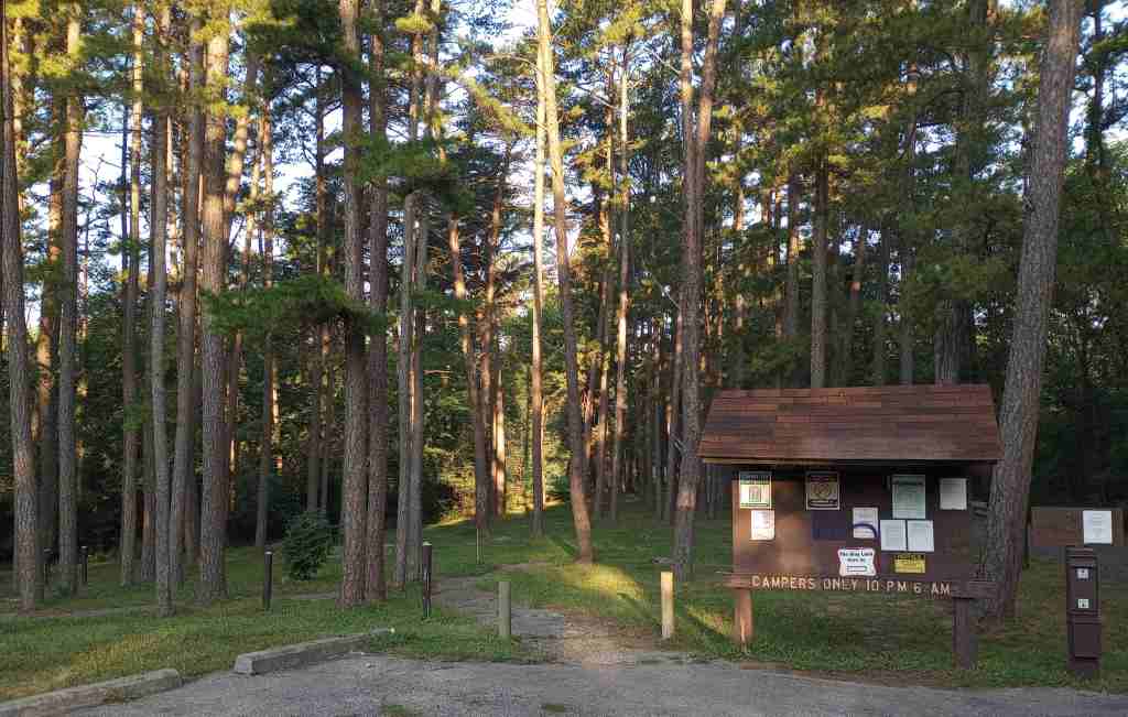
Camping
The National Forest has 23 campgrounds, including popular options in Spruce Knob-Seneca Rocks National Recreation Area at Seneca Shadows and Big Bend (with hot showers).
Wilderness Areas
Big Draft Wilderness
Cranberry Wilderness
Dolly Sods Wilderness
Laurel Fork North Wilderness
Laurel Fork South Wilderness
Otter Creek Wilderness
Roaring Plains West Wilderness
Spice Run Wilderness
Related Sites
Allegheny National Forest (Pennsylvania)
George Washington National Forest (Virginia-West Virginia)
Jefferson National Forest (Virginia-West Virginia-Kentucky)
Harpers Ferry National Historical Park (West Virginia-Virginia-Maryland)
Nearest National Park
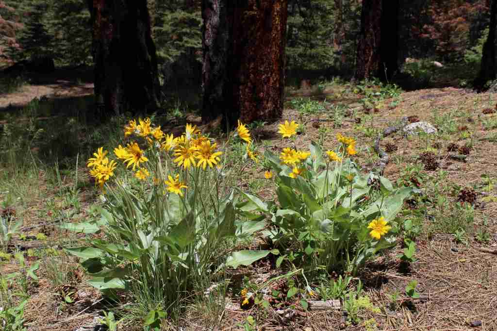
eastern hemlock, balsam fir, red spruce, red pine, eastern white pine
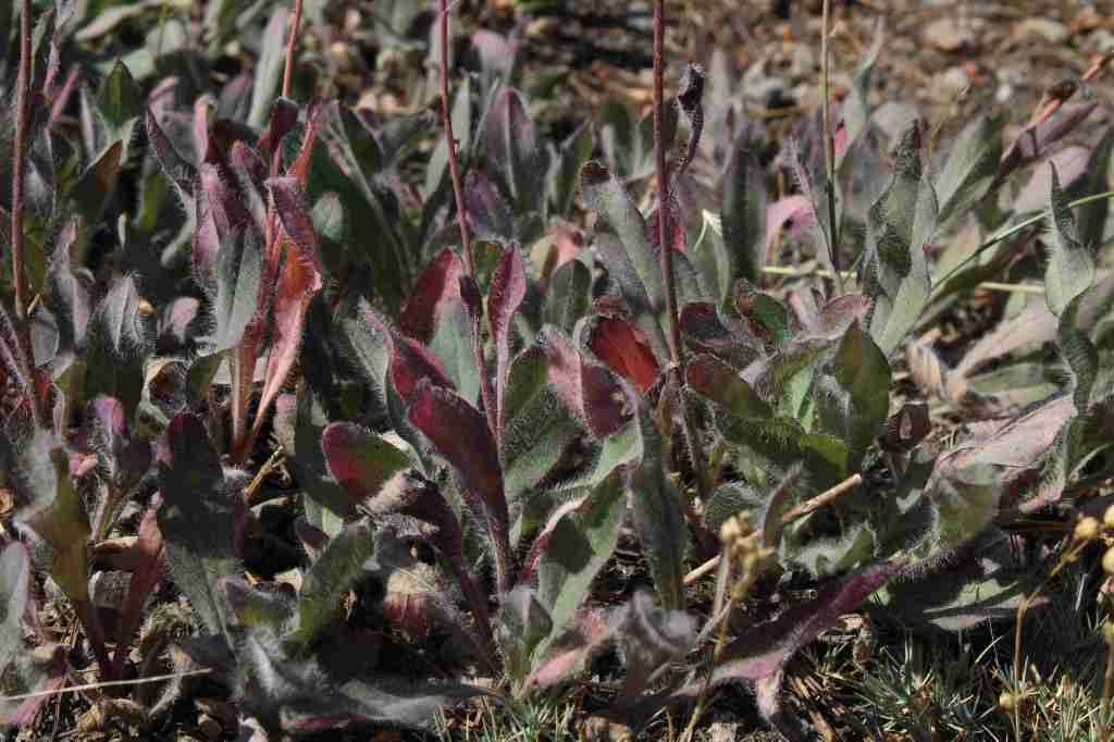
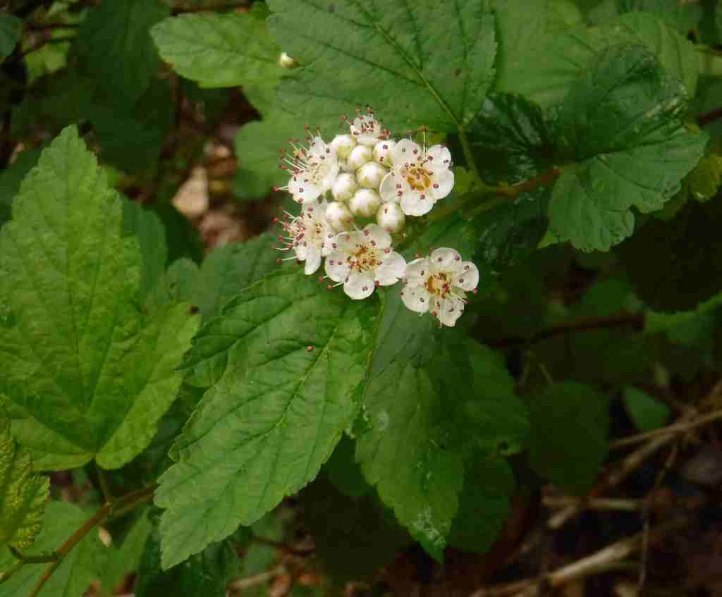
black ash, mountain ash, black cherry, yellow birch, sugar maple, red maple, sweet birch, cucumber magnolia, American beech, basswood, speckled alder, mountain laurel, white rhododendron
Explore More – The Monongahela River gets its name from the Lenape language, and it translates as what in English?

Learn more about this and the 154 other National Forests in our new guidebook Out in the Woods