Overview
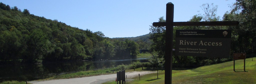
Authorized in 1978, this 73-mile stretch of the Upper Delaware River is the longest free-flowing river in the northeast United States. Forming the Pennsylvania-New York borderline, only 30 of its 55,575 acres are federally owned. Upper Delaware Scenic and Recreational River is one of 43 designated National Wild and Scenic Rivers, 10 of which are managed by the National Park Service (NPS).

Highlights
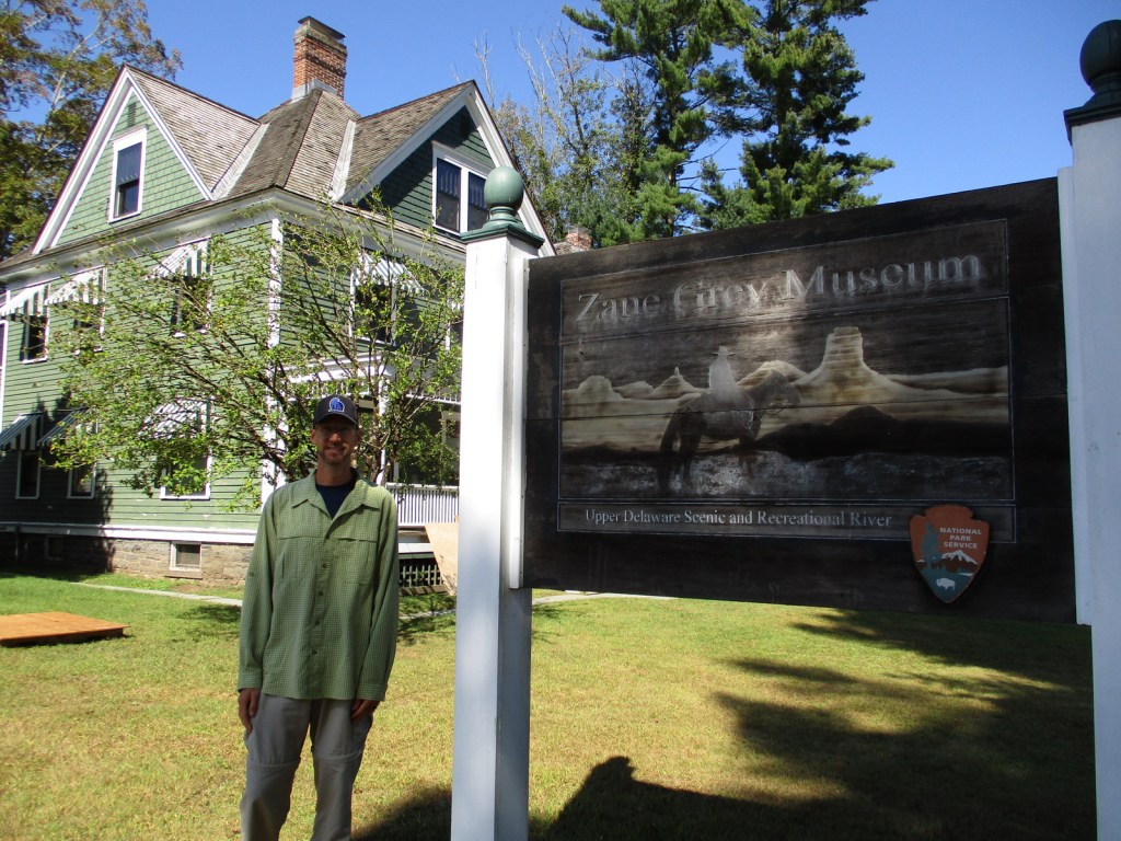
Zane Grey Museum, Roebling Aqueduct, fishing
Must-Do Activity
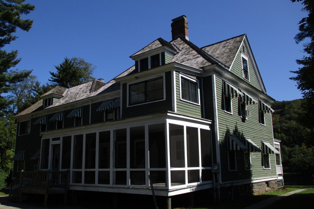
The Upper Delaware River is famous for year-round bald eagle viewing, Class I and II whitewater rafting, and fishing for smallmouth bass and walleye. The NPS runs the Zane Grey Museum, which celebrates the “Father of the Western Novel” who lived in Lackawaxen, Pennsylvania from 1905 to 1918 and loved fishing here (and throughout his worldwide travels). It was in this house that the former dentist (Zane Grey) wrote many articles about his outdoor adventures, as well as his novels, including Riders of the Purple Sage (published in 1912).
Best Trail
There are six trails you are required to complete in order to earn your Upper Delaware Hikes patch from the NPS, ranging in length from the quarter-mile Minisink Battleground (Revolutionary War) to the three-mile Tusten Mountain Trail, which provides an excellent view of the river valley.
Instagram-worthy Photo
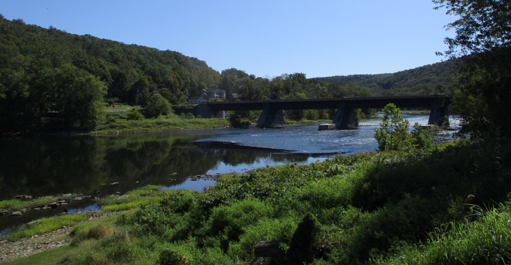
Within eyeshot of the Zane Grey Museum, the Roebling Aqueduct operated between 1848 and 1898 to allowed coal-laden canal boats to cross over the Upper Delaware River. Its architect is better known for the Brooklyn Bridge, but this aqueduct was converted to a one-lane car bridge before being purchased by the NPS in 1980.
Peak Season
Spring through fall
Hours
https://www.nps.gov/upde/planyourvisit/hours.htm
Fees
None
Road Conditions
All major roads paved, with Highway 97 in New York following the river for most of its length.
Camping
There are no NPS campgrounds, but many private ones along the Upper Delaware River.
Related Sites
Delaware Water Gap National Recreation Area (Pennsylvania-New Jersey)
Buffalo National River (Arkansas)
Minute Man National Historical Park (Massachusetts)


Explore More – Although they live in the Delaware River for most of their lives, what is the name of the sea in the Atlantic Ocean where eels migrate to spawn and die?