After completing the southernmost 713 miles of the Arizona National Scenic Trail (AZT) in March, I took 45 days off to wait for the North Kaibab Trail to reopen so I could finish hiking through Grand Canyon National Park and north to the Utah border. I had gone hiking in the time between, but was unsure how “backpacking ready” my body would be after the time off. I surprised myself by starting with a 26-mile day that included going to the bottom of the Grand Canyon and turning around, then following that up with a 31- and 37-mile day to reach where I left my vehicle parked at the end. Again, I could not have done this without assistance from my wonderful Mom who drove up north from Pine, Arizona with me.
This has been a wonderful experience, and I met some fascinating people even though I spent 95% of the trail miles alone. It has me excited about doing the 214-mile John Muir Trail in California’s Sierra Nevada in August. Now, I am fairly certain that I am not mentally ready to take on a multi-month-long trail at this point in my life.
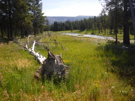
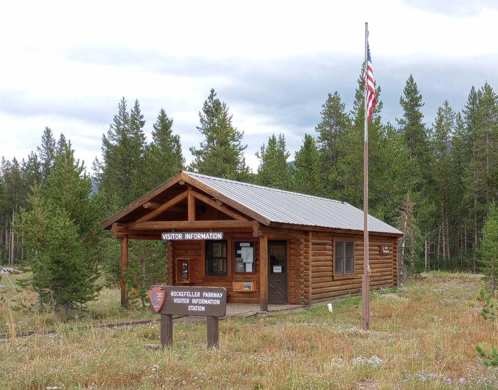
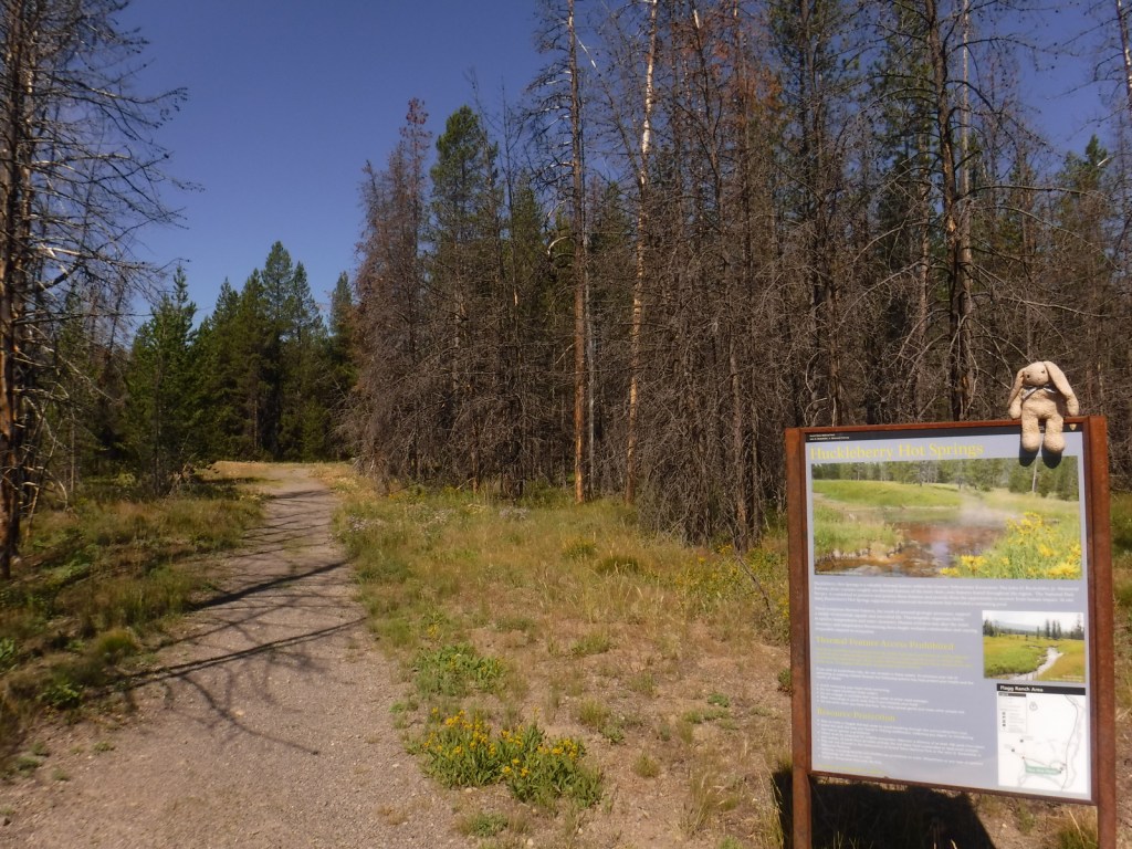
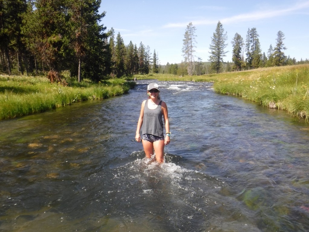
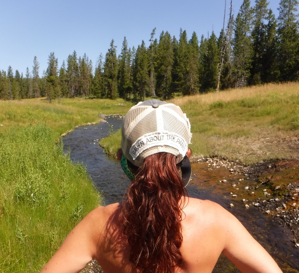
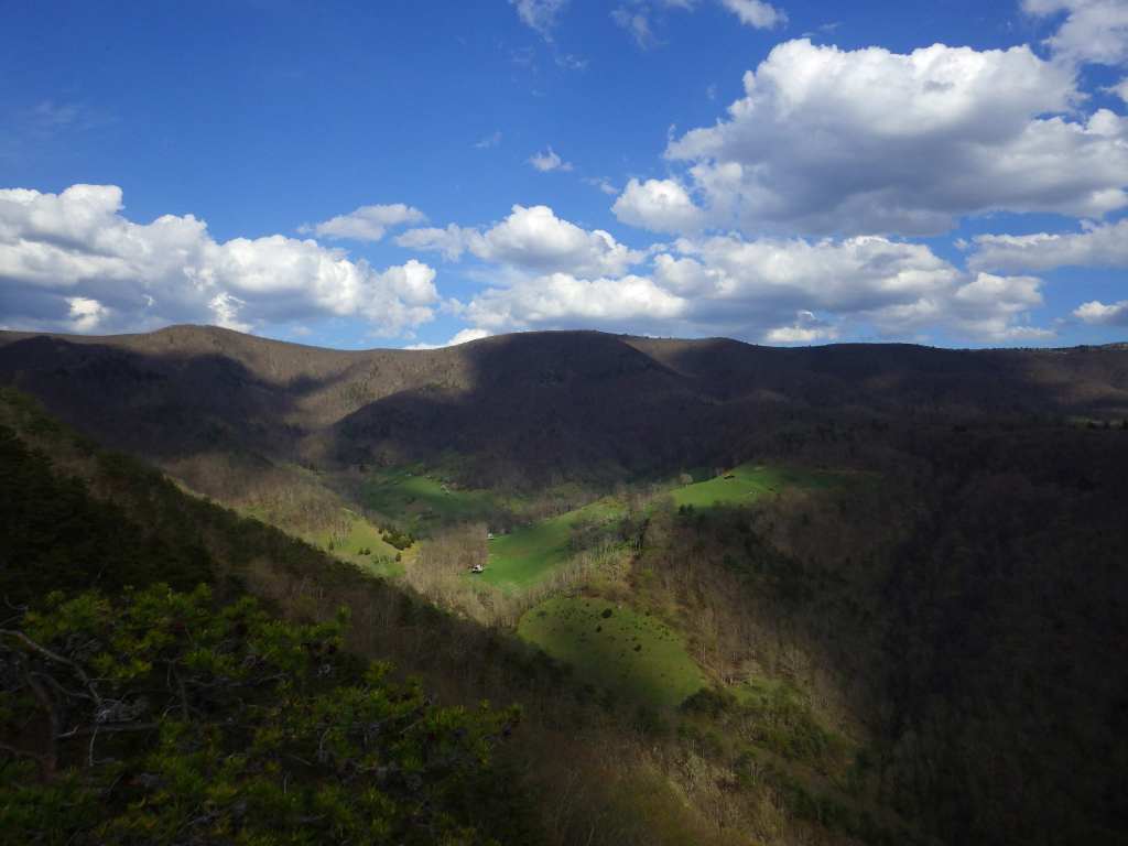
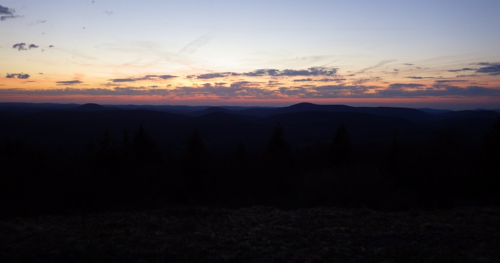
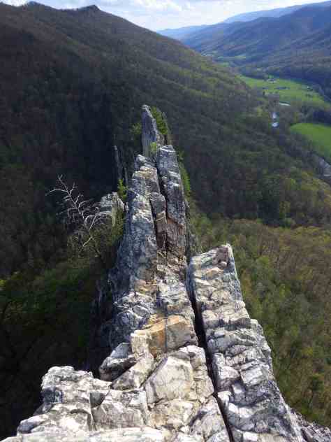
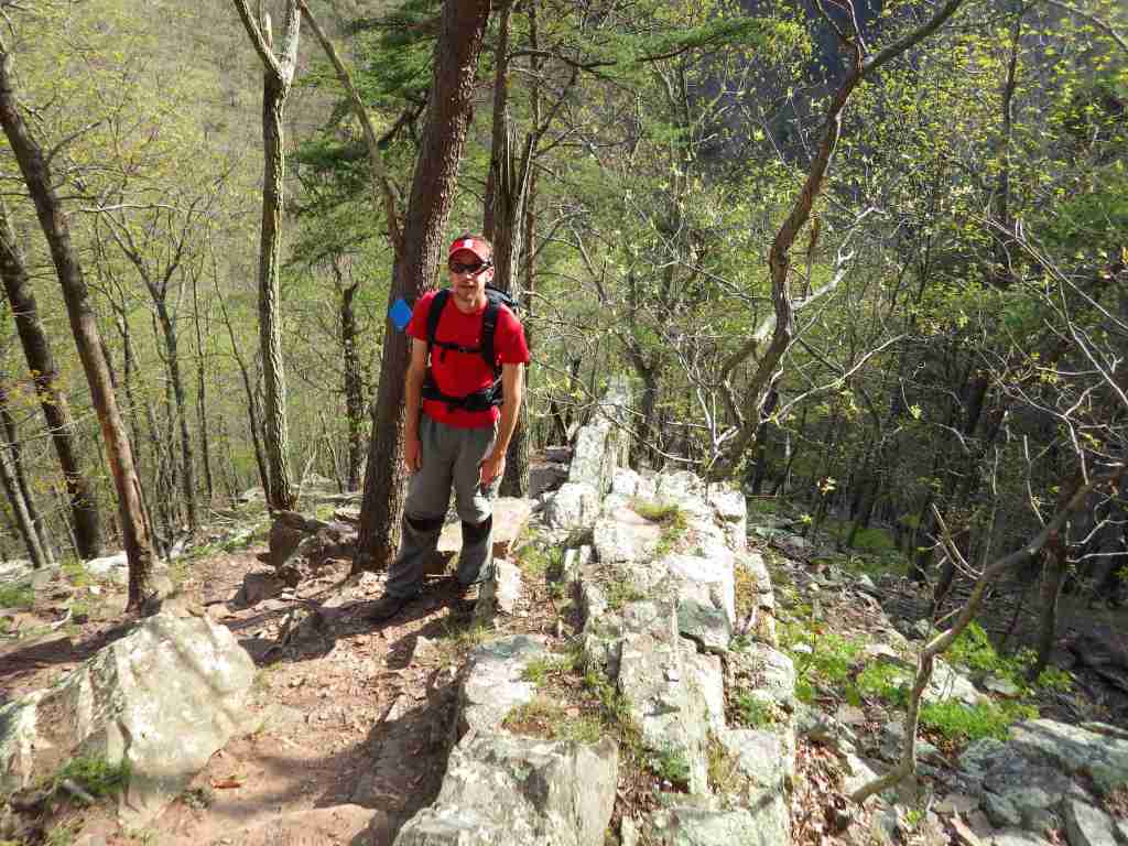
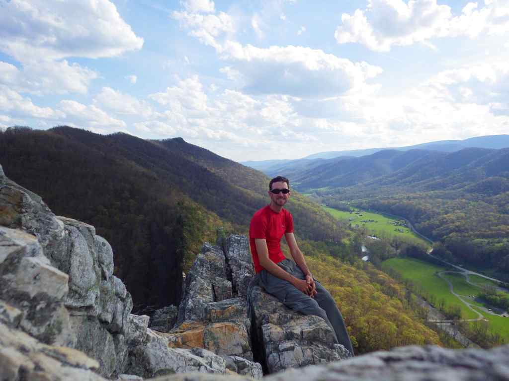
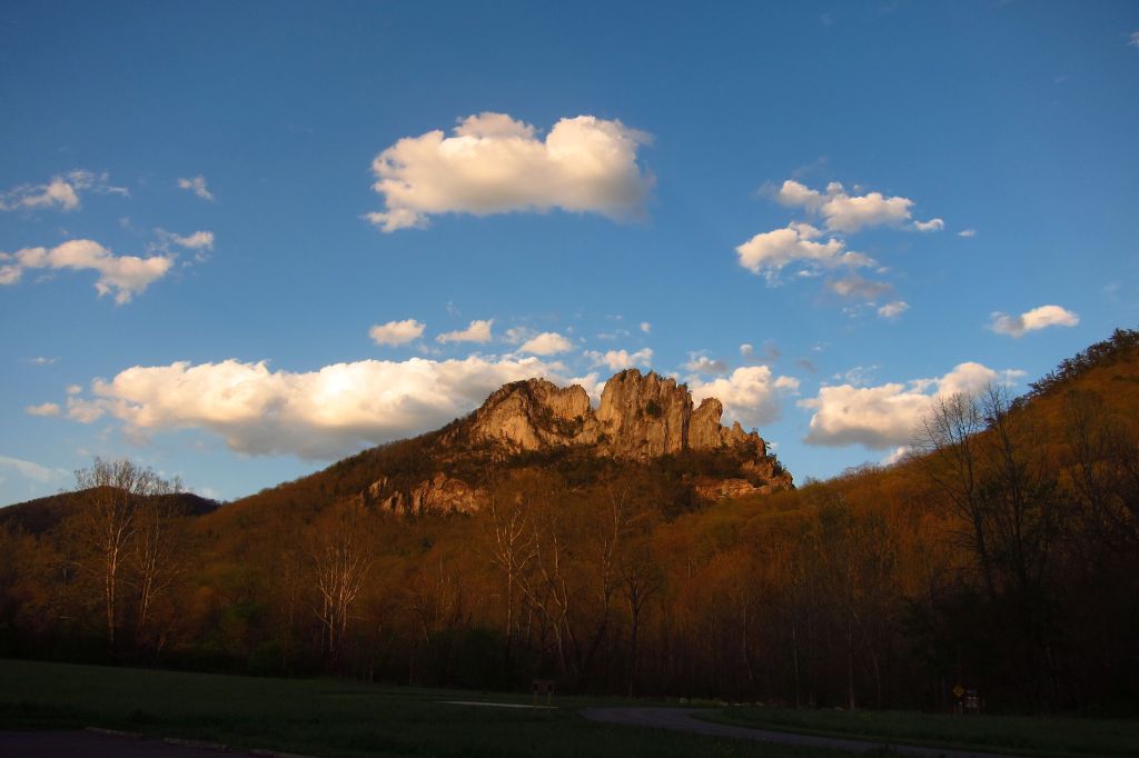
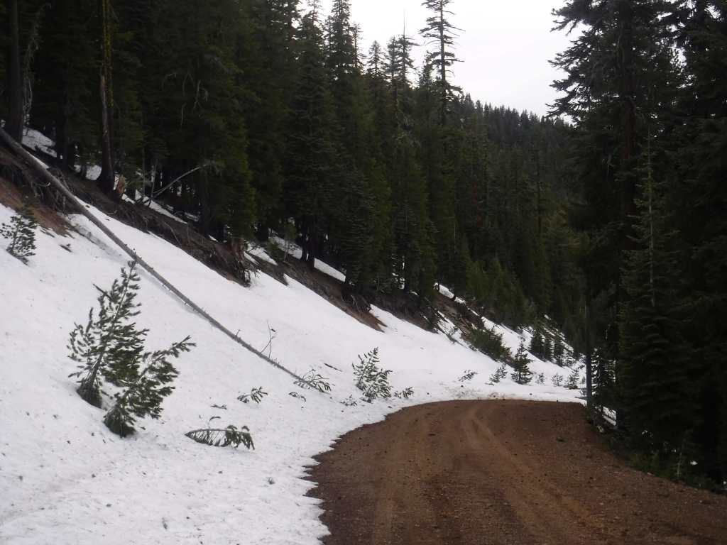
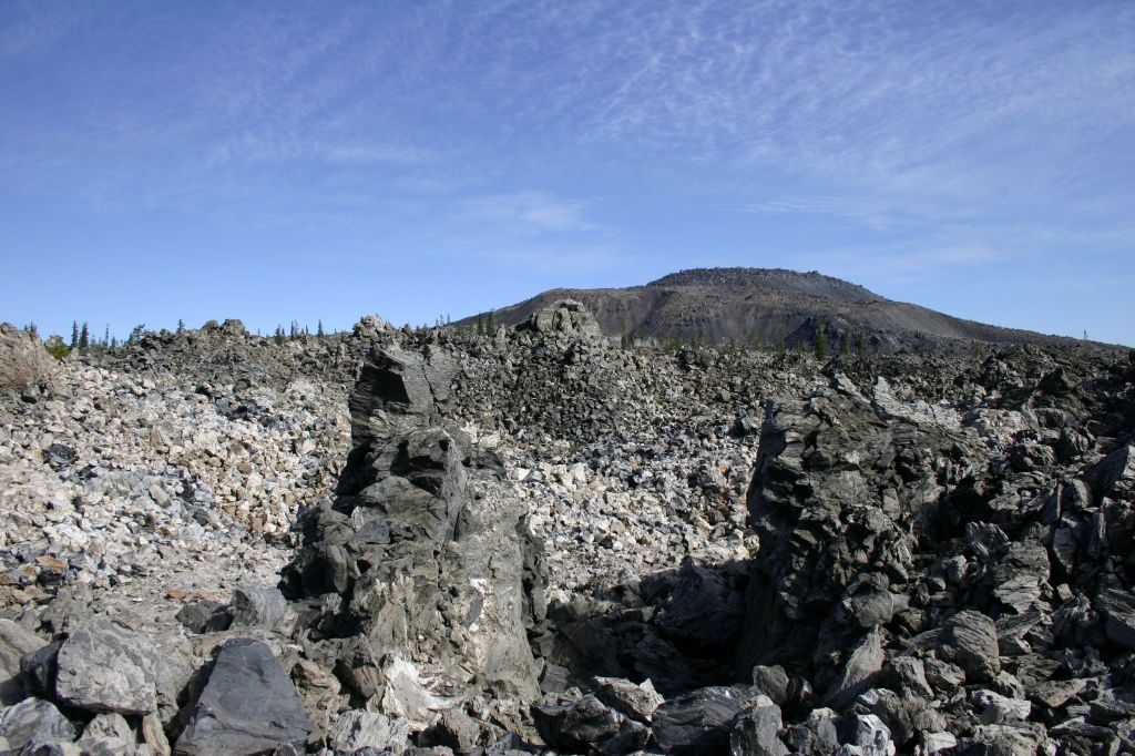
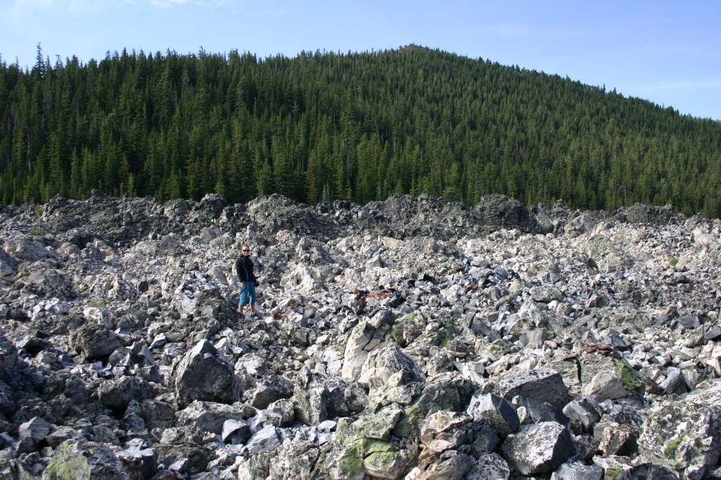
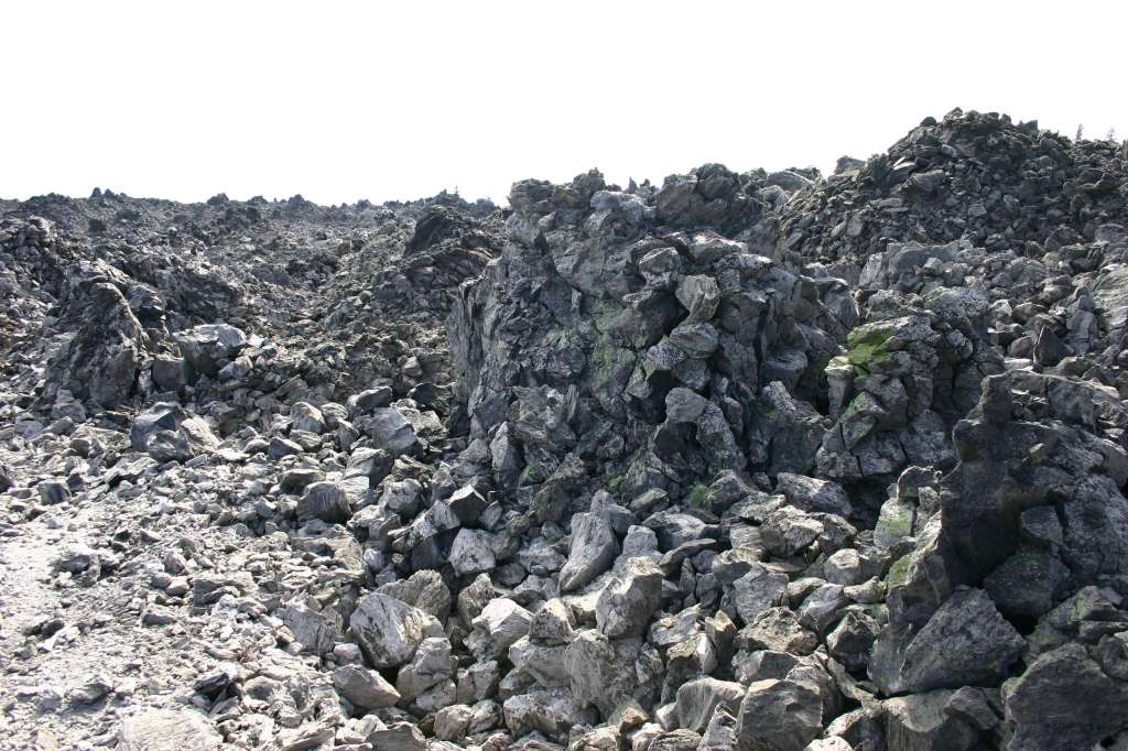
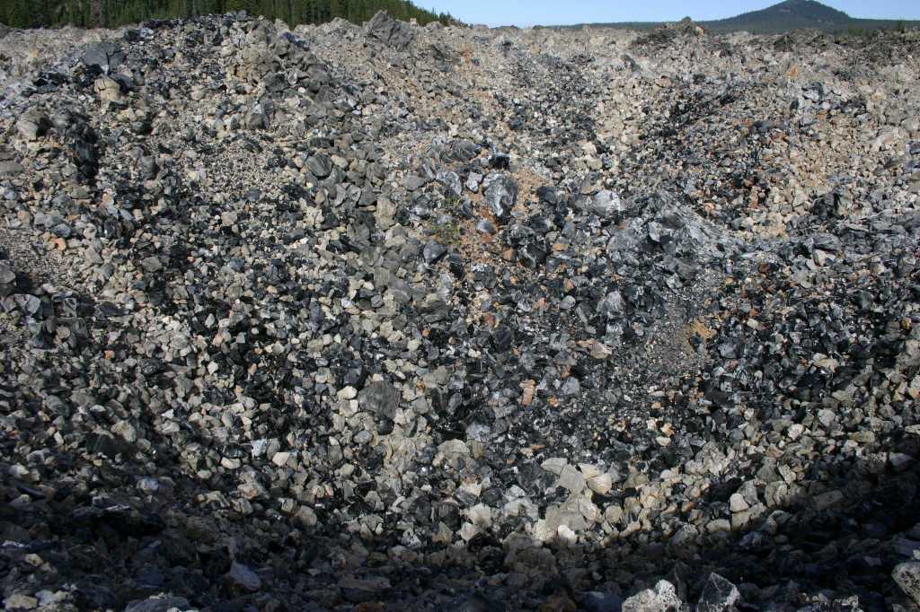
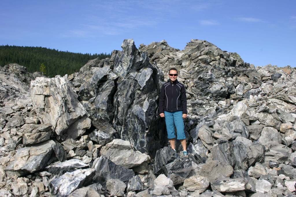
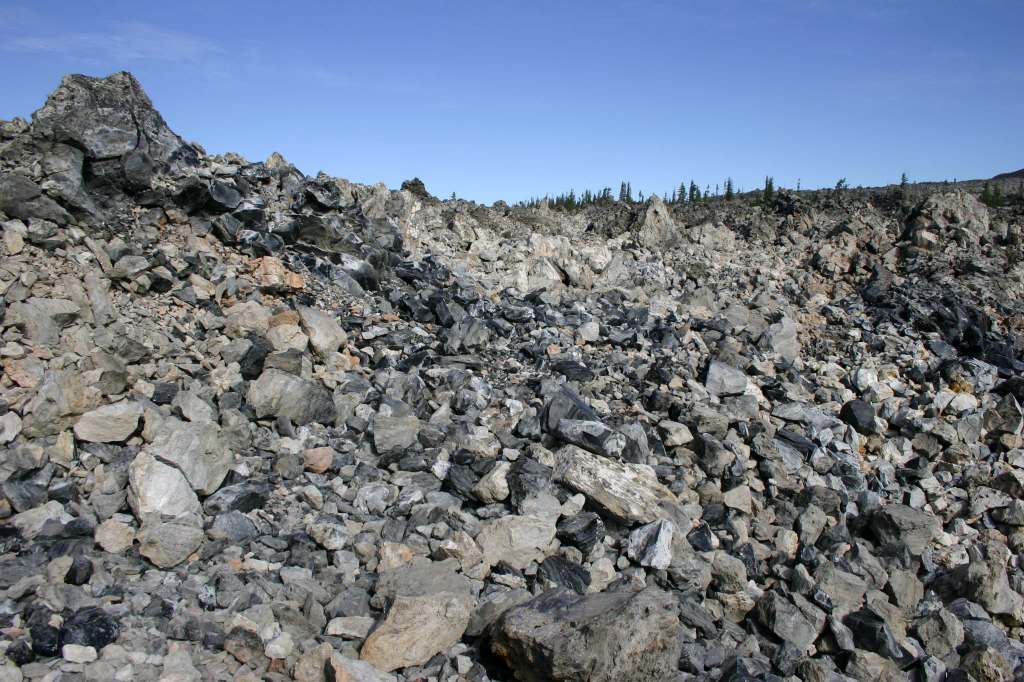
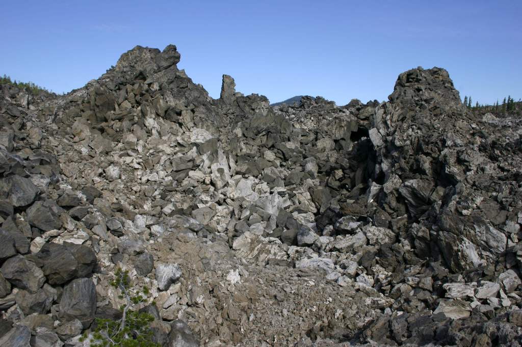
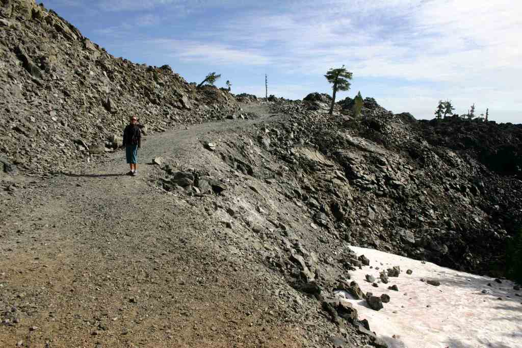
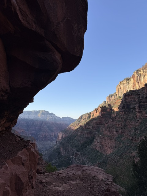
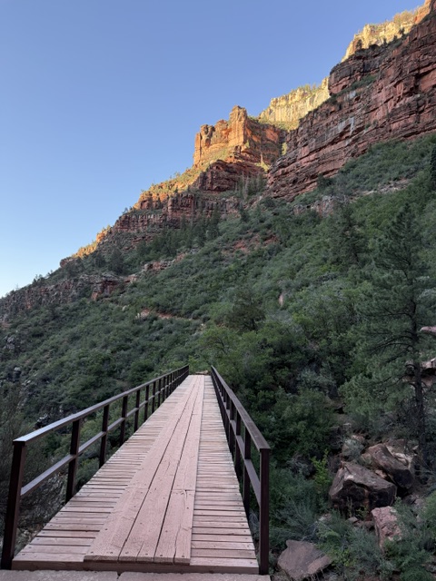
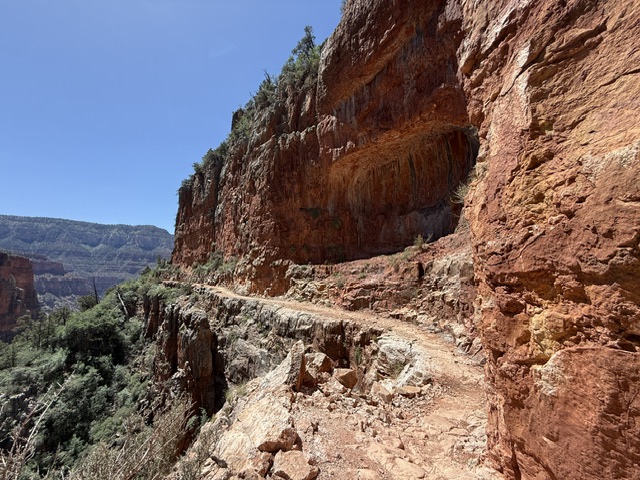
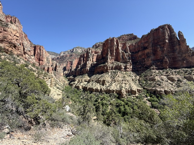
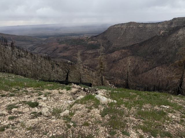
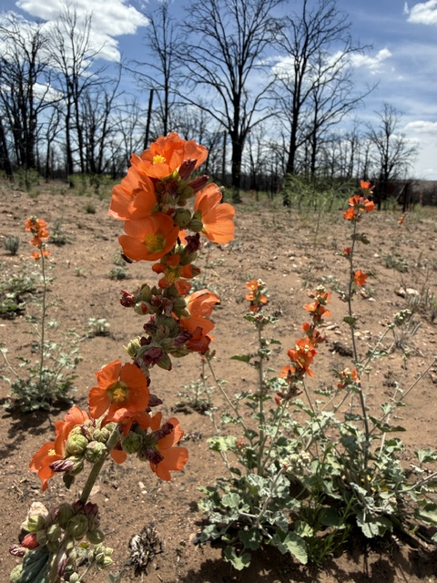
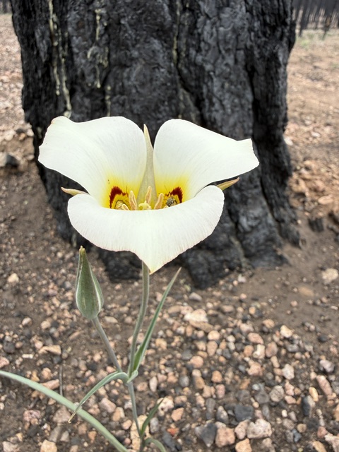
Arizona Trail Day plus+1, Mile 721 to 713 to 730 returned to Ribbon Falls in the Grand Canyon where I made it day one on March 4. There were lots of people out on the trail early, plus trail crews working hard to fix and maintain the steep route. Today had a 7,000-foot cumulative elevation gain and 6,000-foot cumulative loss. However, thanks to my Mom, I just carried a day pack. Got to start hiking through part of the 2025 Dragon Bravo Fire as I left the National Park and entered Baaj Nwaavjo I’tah Kukveni–Ancestral Footprints of the Grand Canyon National Monument.
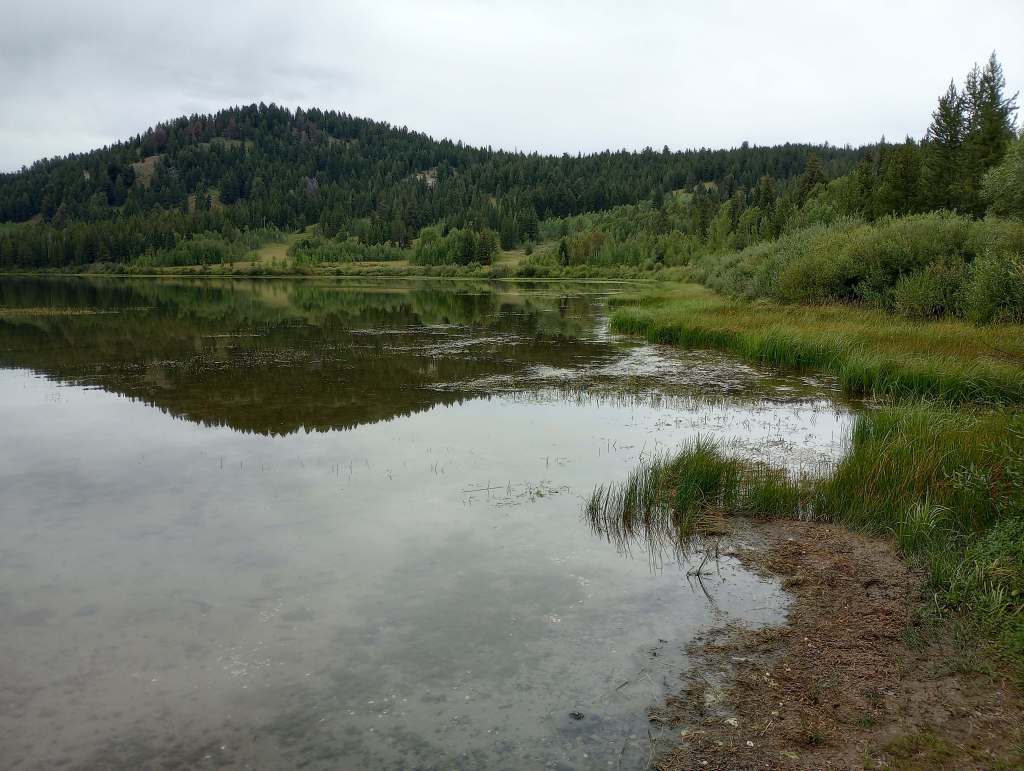
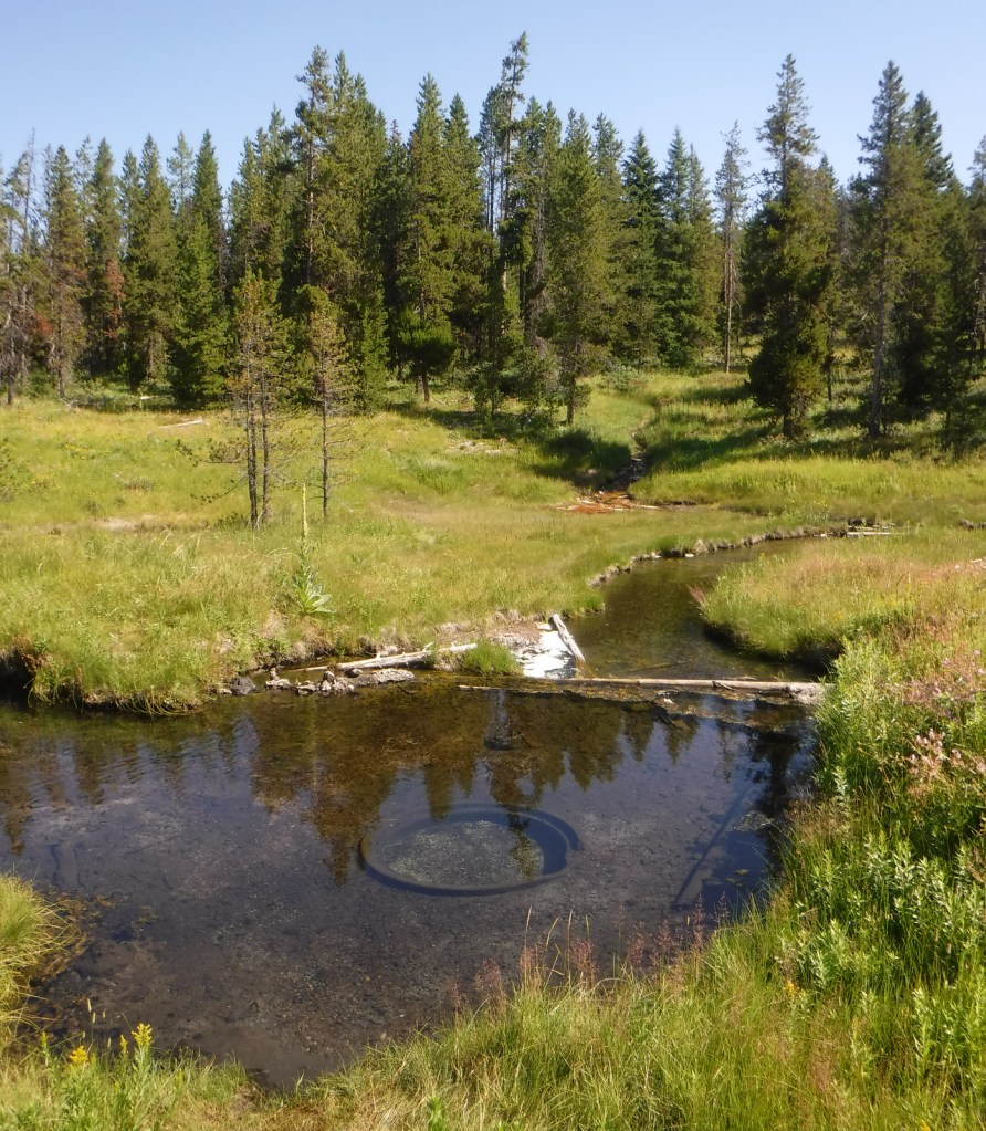
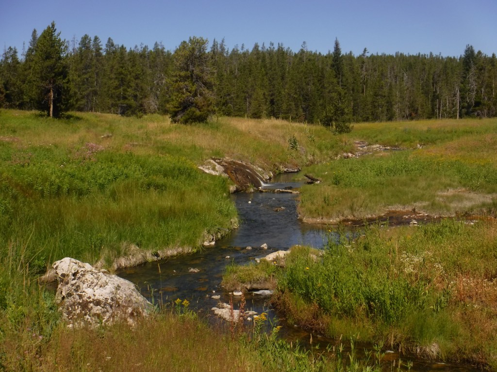
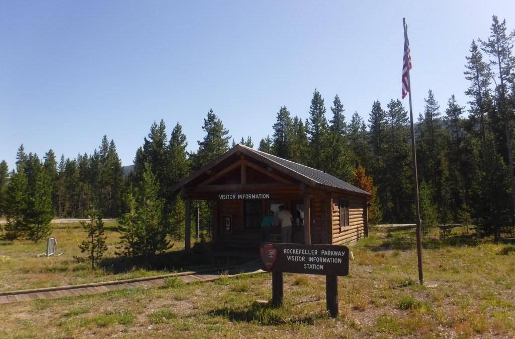
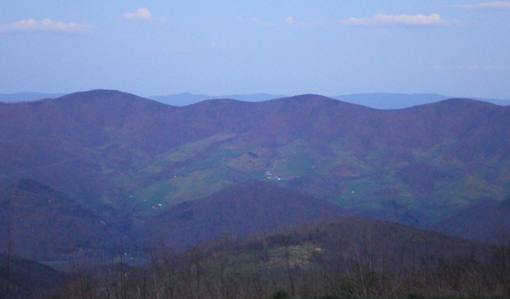
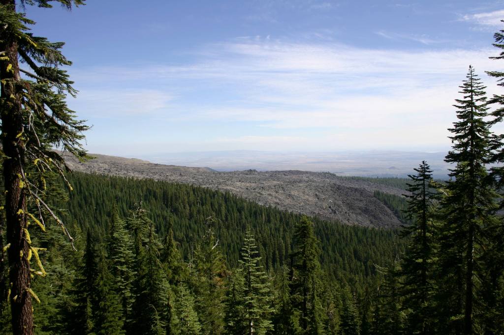
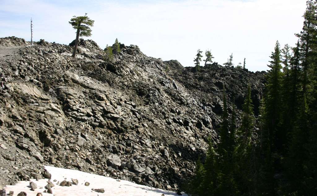
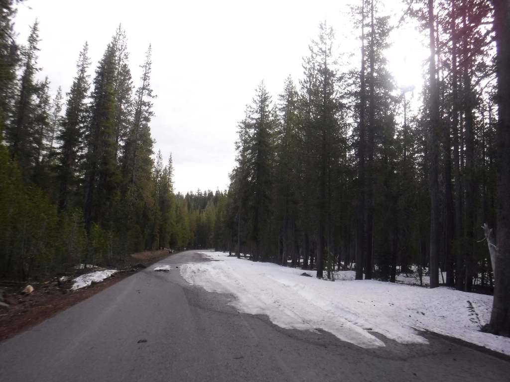
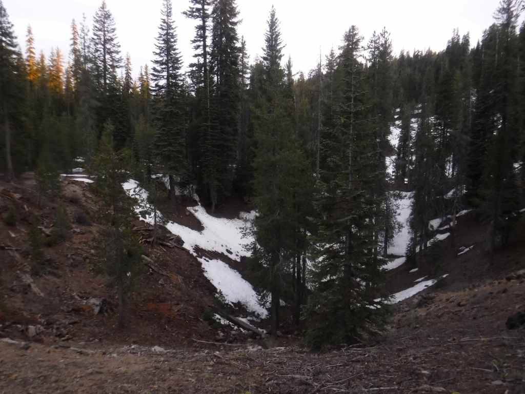
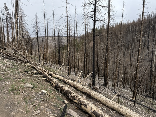
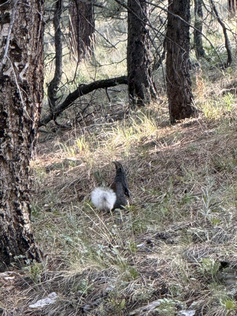
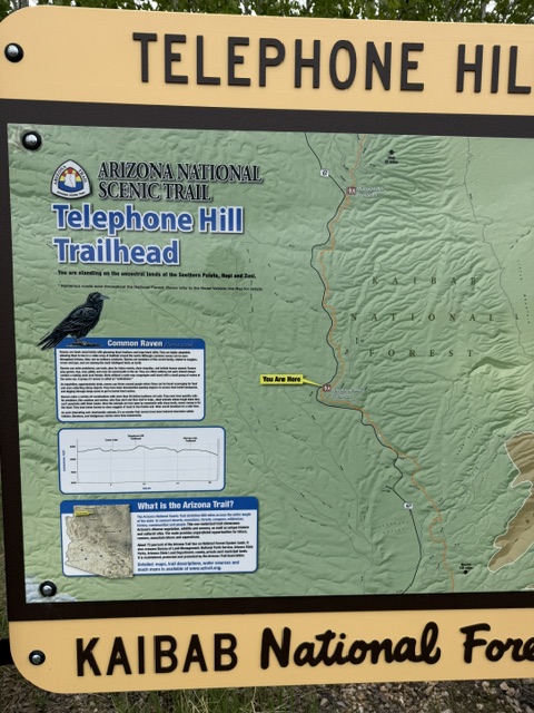
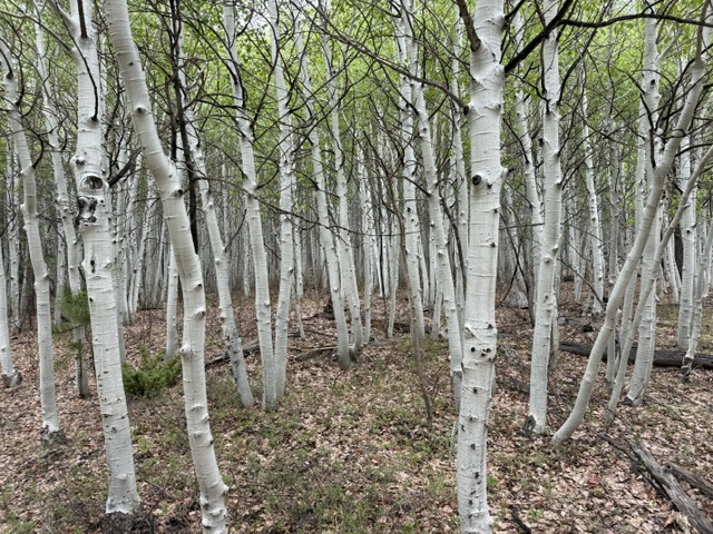
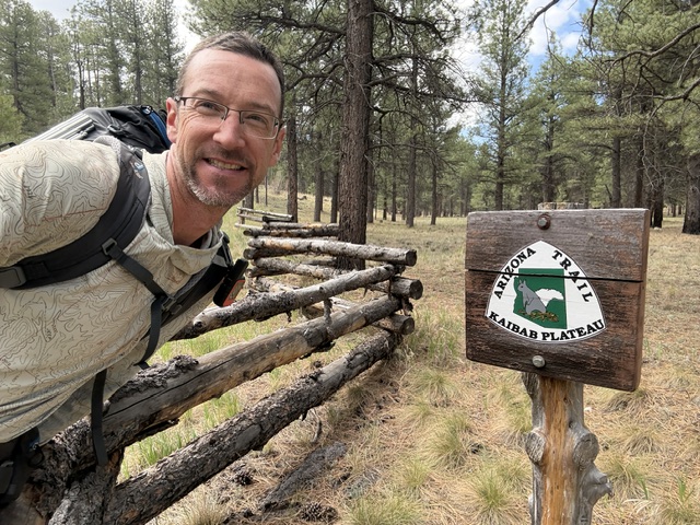
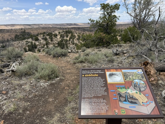
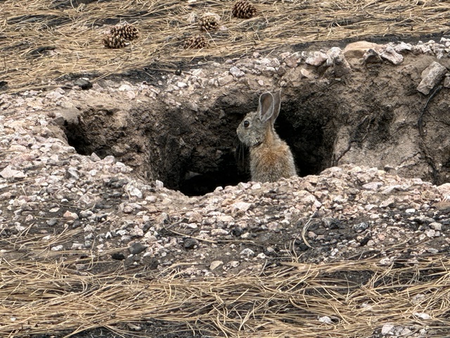
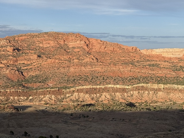
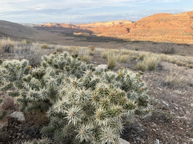
Arizona Trail Day plus+2, Mile 730 to 761 on the Kaibab Plateau through the 2025 Dragon Bravo Fire. Started by climbing to 9,139 feet, the highest point on the entire trail. Big thanks to the sawyers who cut thousands of dead trees for safety in Kaibab National Forest. Saw mule deer, grouse, and my first Kaibab squirrel (with the long ear tufts), but no bison. Had a nice dinner at Jacob Lake Inn with my Mom and trail buddy Jake (“Earthshaker”) who I met today.
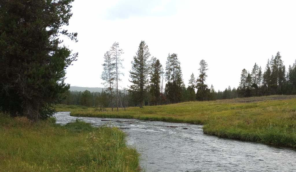
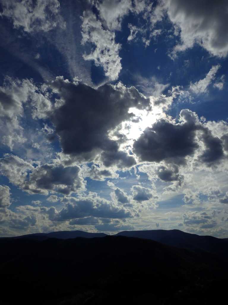
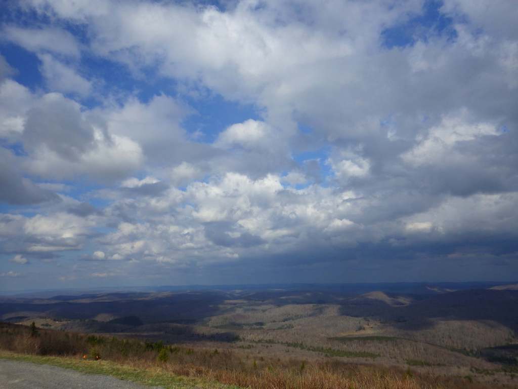
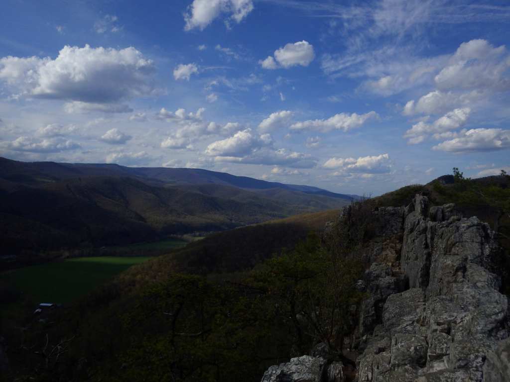
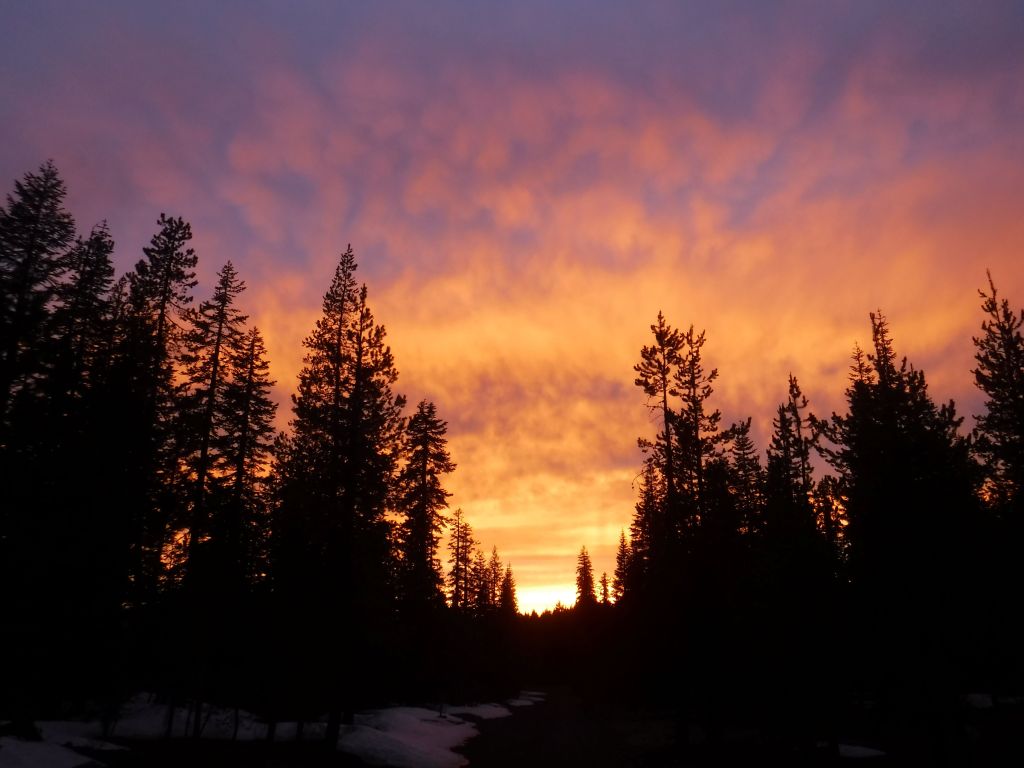
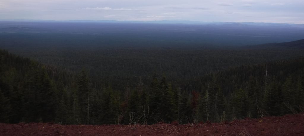
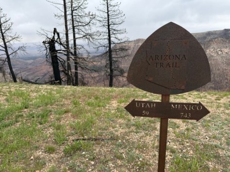
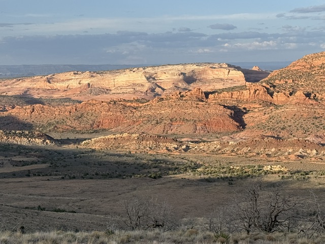
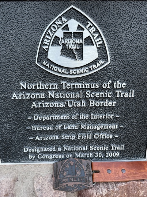
Arizona Trail Day plus+3, Mile 761 to 798 to finish at the State Line Campground on the Utah border for my highest mileage day of the journey. This was my 33rd hiking day, plus I took 6 zero days and 45 days off waiting for the North Kaibab Trail to open in Grand Canyon National Park. The scenery was epic the final two miles as the setting sun lit up the Vermilion Cliffs and Grand Staircase-Escalante National Monuments. A wonderful ending to an unforgettable adventure.
Previous trail journal blog posts:
- Arizona Trail Day minus-2
- Arizona Trail Days 1 to 5
- Arizona Trail Days 6 to 13
- Arizona Trail Days 14 to 23
- Arizona Trail Days 24 to 34


Know someone who loves exploring new National Monuments? Gift them our book Monumental America: Your Guide to All 138 National Monuments that is available for sale on Amazon.com.