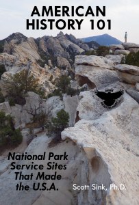
The newest of my five travel guidebooks to U.S. public lands is American History 101: National Park Service Sites That Made the U.S.A. and it is available for sale on Amazon.com for a limited time price of $15.99. Please find below a sample of one of the 101 chapters covering Chaco Culture National Historical Park in New Mexico. My book has a major focus on indigenous peoples, in addition to the sites dedicated to the American Revolution, Civil War, civil rights, and other topics you might expect.
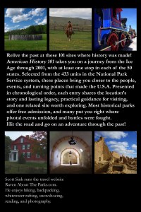
American History 101 takes you on a journey from the Ice Age through 2001, with at least one stop in each of the 50 states. Selected from the 430+ units in the National Park Service system, these places bring you closer to the people, events, and turning points that made the U.S.A. Presented in chronological order, each entry shares the location’s story and lasting legacy, practical guidance for visiting, and one related site worth exploring. Most historical parks offer free admission, and many put you right where pivotal events unfolded and battles were fought.
I hope my newest guidebook inspires you to hit the road and go on an adventure through the past! Keep an eye out for the 3rd edition of my guide to the now 64 National Parks. Adventure on!
American History 101 takes you on a journey from the Ice Age through 2001, with at least one stop in each of the 50 states. Selected from the 430+ units in the National Park Service system, these places bring you closer to the people, events, and turning points that made the U.S.A. Presented in chronological order, each entry shares the location’s story and lasting legacy, practical guidance for visiting, and one related site worth exploring. Most historical parks offer free admission, and many put you right where pivotal events unfolded and battles were fought.
I hope my newest guidebook inspires you to hit the road and go on an adventure through the past!
Thank you to all my readers for their support and inspiration! I will post a sample chapter later this week, and keep an eye out for the 3rd edition of my guide to the now 64 National Parks. Adventure on!
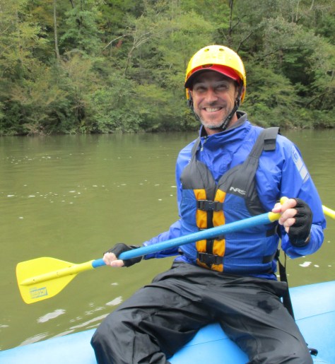
I am currently in West Virginia on a road trip and do not have my blog post for Gauley River National Recreation Area completed yet. On Monday, I did a guided whitewater rafting trip down the Upper and Lower Gauley, 26 miles that they call the Marathon featuring some of the most famous Class V rapids in the U.S. That was National Park Service site 418/433 for me. And our raft only flipped once!
I have finished writing my latest travel guidebook American History 101: National Park Service Sites That Made the U.S.A. It is now available on Amazon with a discount for early purchasers in November. I think it is the best written of my five guidebooks and certainly required the most reading for research. I learned so much about my country.
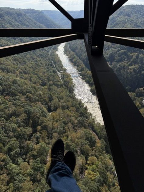
I spent some time in Kentucky last week, which helped with the Kentucky Road Trip Itinerary post. I went to the Churchill Downs Museum and kayaked underground in a limestone mine. I have also added some new photos to the New River Gorge National Park and Preserve post after doing the Bridge Walk tour. Bridge Day is this weekend when they shut down Highway 19 for BASE jumping.
I am looking forward to more fun on my road trip and finishing up the two guidebooks. Thanks for reading.
Currently, I am working on finishing American History 101, a guidebook that tells the story of America by detailing 101 National Park Service sites across all 50 states. I recently climbed Mt. Hood with my cousin and hiked to the top of Boundary Peak in Nevada, my 39th state high point. In August, I have permits to summit Mt. Whitney in Sequoia National Park and continue north to complete the 214-mile John Muir Trail through California’s Sierra Nevada to Yosemite National Park. Over the next 100 blog posts, I plan to start writing about National Wildlife Refuges, which I have been visiting across the country over the years (including one in all 50 states).
I appreciate your time as readers and plan to continue producing quality blog posts and guidebooks to America’s public lands for you all in the coming years.
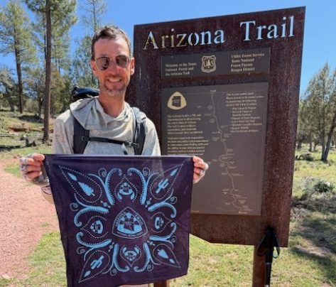
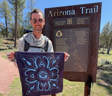
After two “zero days” I returned to the Gila River at the lowest point on the Arizona Trail (AZT) where temperatures had cooled considerably from two weeks before. In 36 days (including six zeroes), I have now completed the southernmost 713 miles on the 800-mile AZT since starting on March 4, 2026. Good news is the National Park Service is planning to reopen the North Kaibab Trail on May 15, so I plan to wait to do the final 100 miles through the Grand Canyon and up to the Utah border.
This journey has exceeded my expectations as my first “long trail.” I have seen amazing wildlife and scenery. I met some interesting people. I had days where I did not see another person. It has been introspective and healing. I have walked further and faster than I imagined possible. I’m thankful that past thru-hikers have made this a socially acceptable (even laudable) activity. Mostly, it’s just really fun and feels like an accomplishment to walk between two arbitrary borderlines. I could not have done it without my parents and friends driving all across the state to resupply me. I cannot say thank you enough!
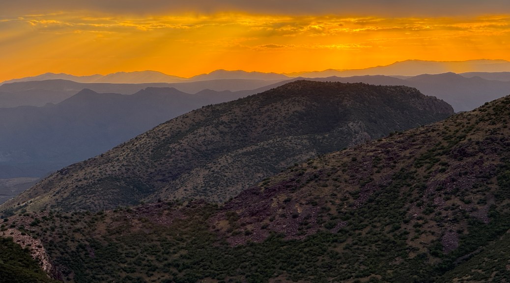
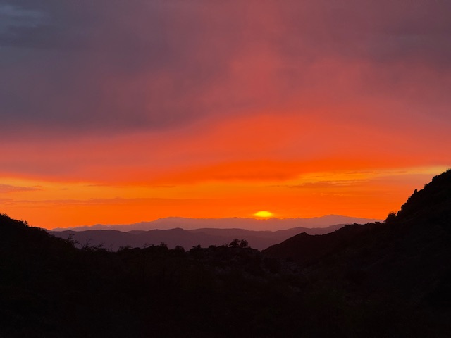
Arizona Trail Day 26, Mile 265 to 291 plus 2 when I took a wrong turn from the Gila River where I took an afternoon dip. So many grasshoppers! Tried out a sun umbrella then didn’t need it when clouds rolled in for an awesome sunset hour. This was my restart point after avoiding desert heat for two weeks.
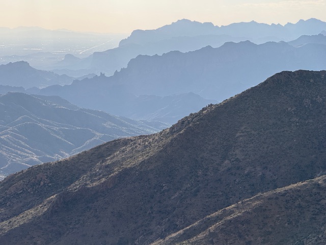
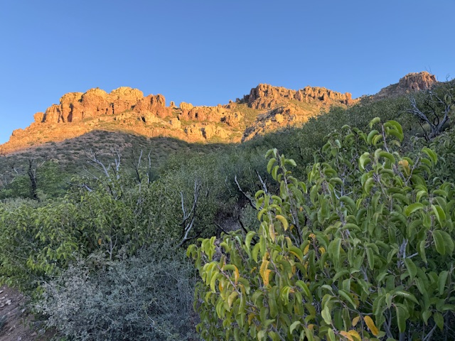
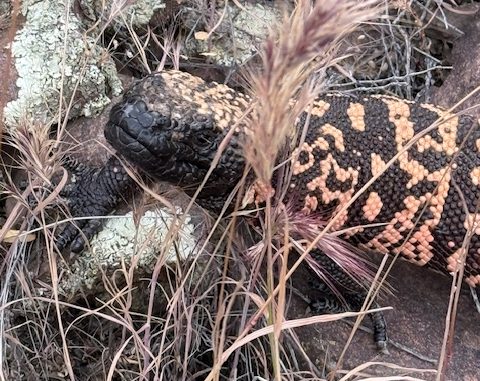
Arizona Trail Day 27, Mile 291 to 321 across Highway 60 climbing steeply into the Superstition Wilderness. Started at 5 a.m. when it was sprinkling and my sun umbrella worked well for rain. Saw my first ever Gila monster, which was amazing.
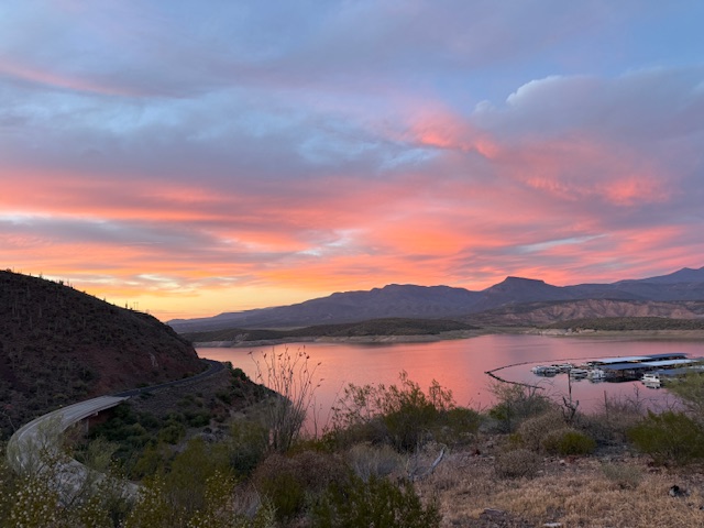
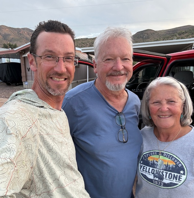
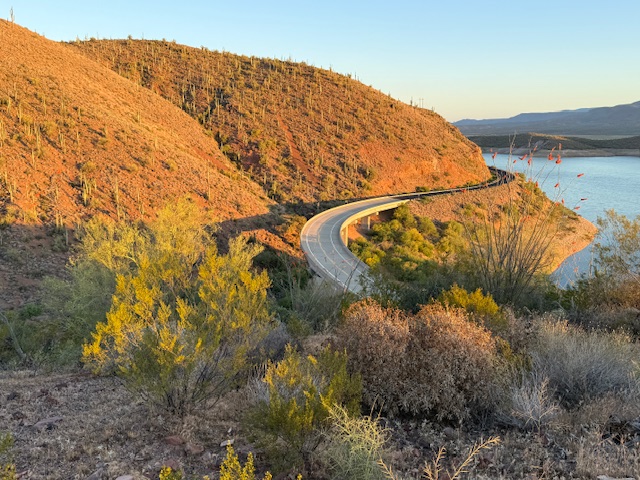
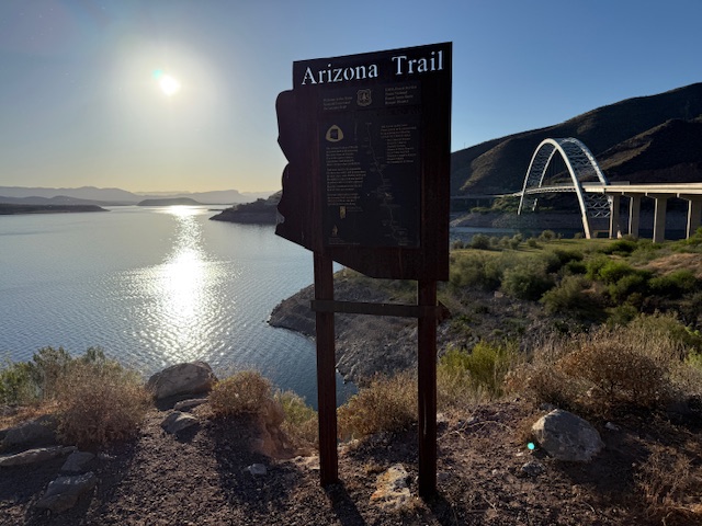
Arizona Trail Day 28, Mile 321 to 347 down from Reavis Ranch in Tonto National Forest to Roosevelt Lake. It was nice to hike a while with Michelle and Adam from Seattle. I saw my second ever Gila monster, which was also amazing! Big thanks to my parents who drove down from Pine to resupply me before sunset.
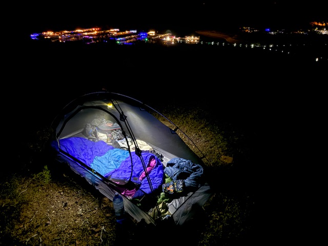
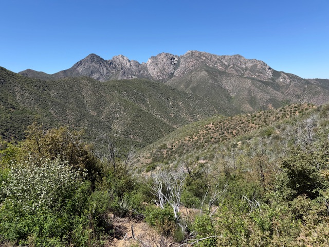
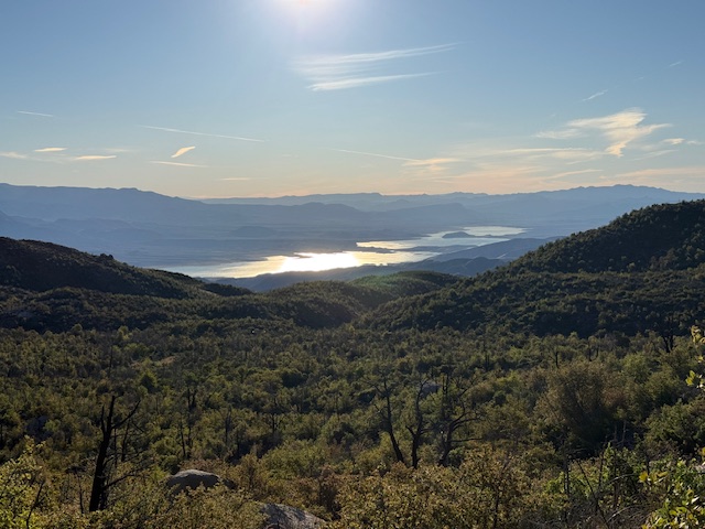
Arizona Trail Day 29, Mile 347 to 366 across Roosevelt Lake Bridge up into the Four Peaks Wilderness. Shake Spring was flowing nicely this afternoon so I decided to camp nearby and cut my day short to enjoy the shade.
Arizona Trail Day 30, Mile 366 to 387 down the mountain from Four Peaks Wilderness to the Beeline Highway 87. At some point Saturday I surpassed 600 miles on the 800-mile Arizona National Scenic Trail! My parents brought me a milkshake down from Payson, which tasted amazing.
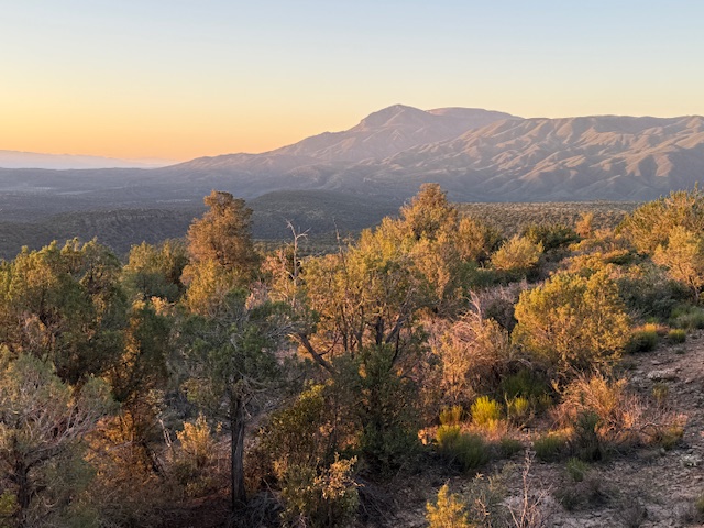
Arizona Trail Day 32, Mile 387 to 417 into the Mazatzal Wilderness after a zero day to spend Easter with family in Chandler. Cloudy and drizzly weather helped me stay cool and I didn’t have to drink much. Cumulative 6,500-foot ascent and 4,000-foot descent over the 30 miles! Great sunset over Horseshoe Lake.
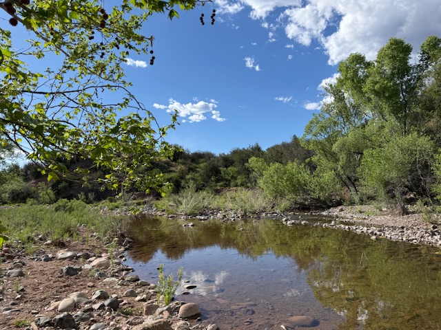
Arizona Trail Day 33, Mile 417 to 442 out of the Mazatzal Mountains down to the East Verde River where I took an afternoon swim. I met a lot of friendly people backpacking today, including one volunteer doing trail maintenance who provided trail magic in the form of a delicious cheese stick.
Arizona Trail Day 34, Mile 442 to 459 back home to Pine. I have now completed the southernmost 713 miles of the AZT since March 4. I plan to finish the final 100 miles when North Kaibab Trail through Grand Canyon National Park opens after May 15. I could not have done this without the help of my parents and friends along the way. Thank you so much!
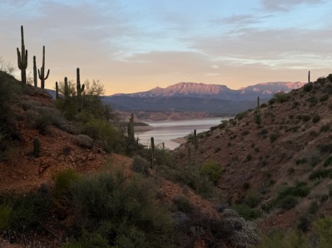
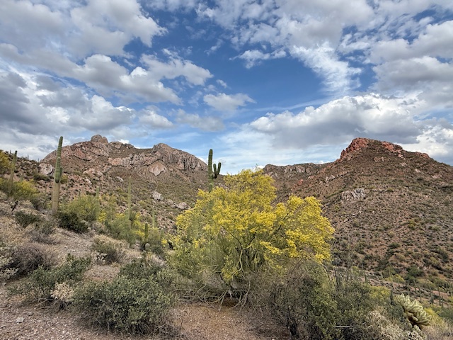
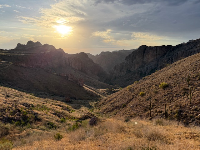
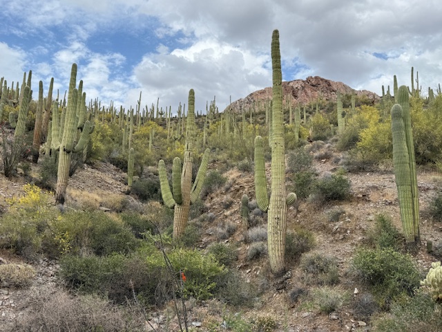
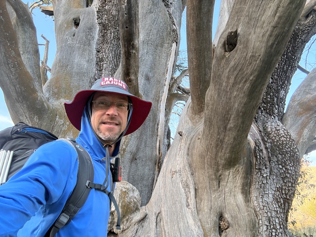
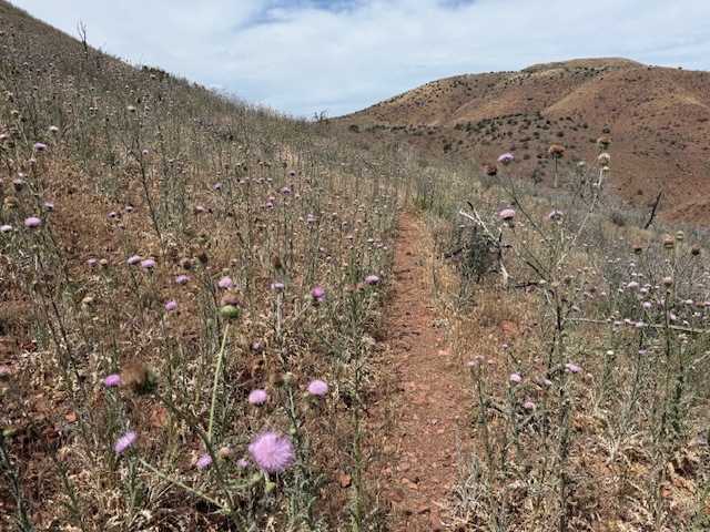
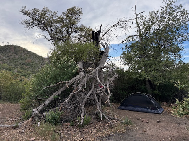
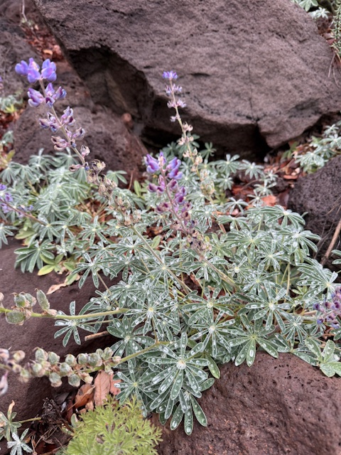
Superstition WildernessHuge alligator juniper treeThistle flowersGila monsterRoosevelt LakeMet my parents at Roosevelt LakeRoosevelt LakeRoosevelt LakeRoosevelt LakeFour PeaksRoosevelt LakeLupine after rainfallView of San Francisco Peaks in FlagstaffEast Verde RiverMazatzal sunriseHome trailhead in Pine
Start your U.S. National Parks, National Forests, and National Monuments adventure here!