
Gauley River National Recreation Area
West Virginia
Managed by National Park Service
Established 1988
11,507 acres
Website: nps.gov/gari
Overview
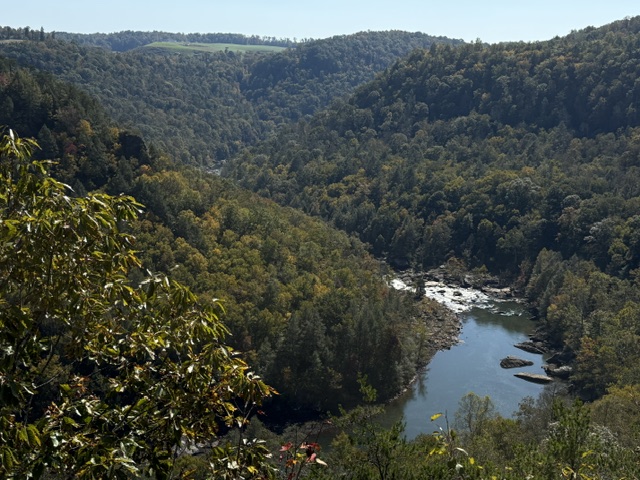
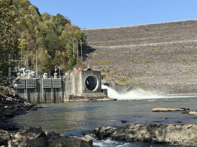
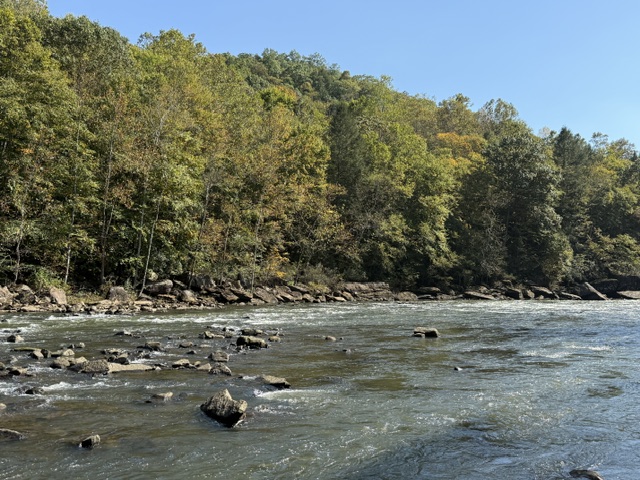
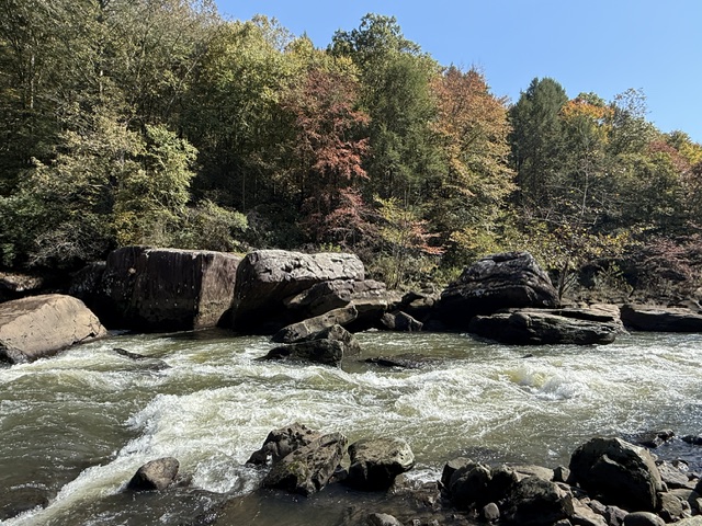
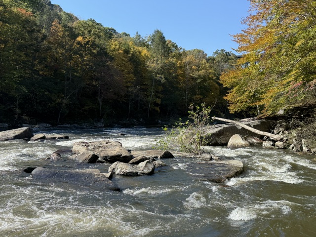
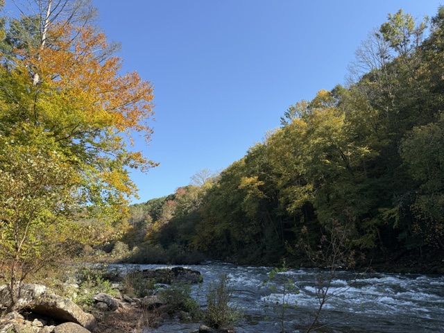
Located downstream from the U.S. Army Corps of Engineers’ Summersville Dam (completed in 1965), this area protects 25 miles of the Upper and Lower Gauley River, plus six miles of the Meadow River. The river’s headwaters are in the Monongahela National Forest and after 105 miles it joins the New River to form the Kanawha River. It is the first river to have U.S. Congress mandate dam releases 22 times each fall expressly for recreational whitewater rafting and kayaking (a major boon to the local economy). The Upper Gauley River provides habitat for a small, colorful fish called the candy darter, as well as other rare species like the Allegheny woodrat, cerulean warbler, eastern hellbender, and finescale saddled darter.
Highlights
Pillow Rock Rapid, Sweet’s Falls Rapid, Carnifex Ferry Battlefield State Park, Meadow River Gorge Trail
Must-Do Activity
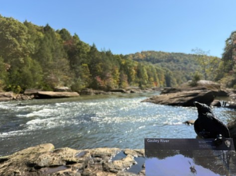
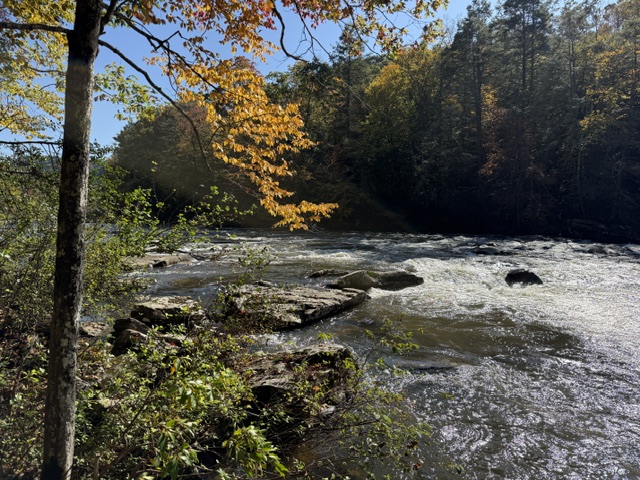
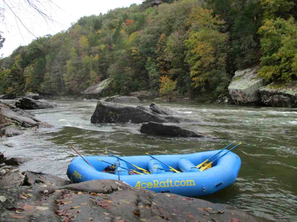
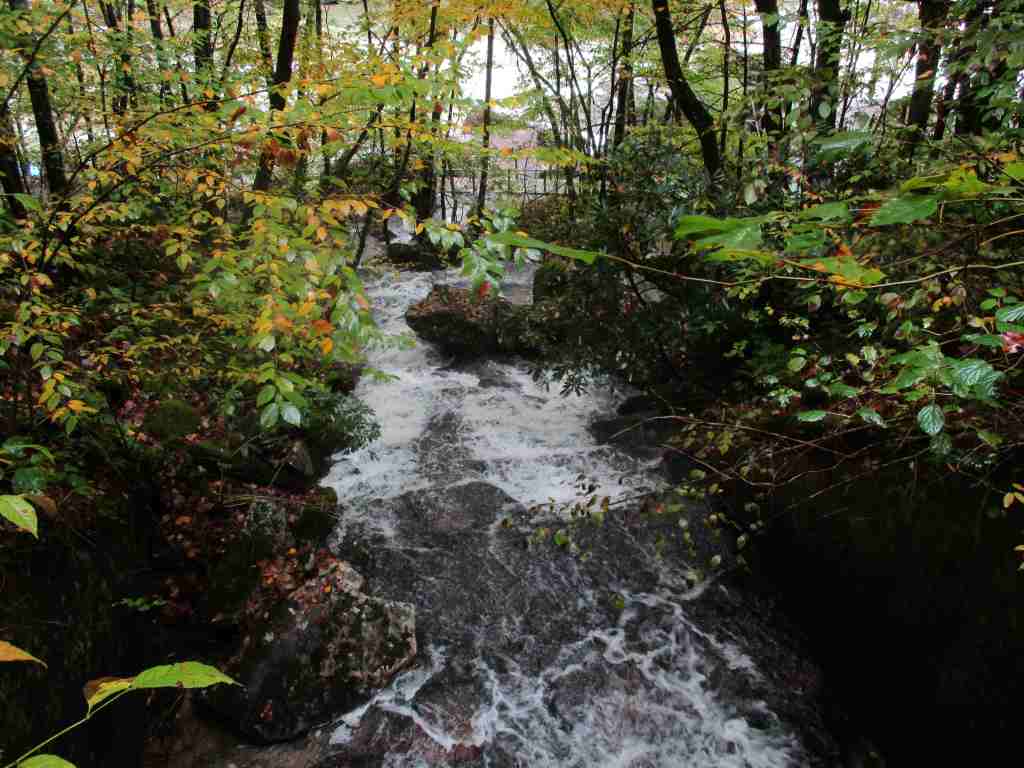
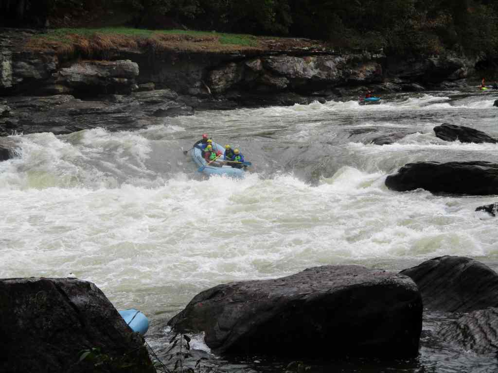
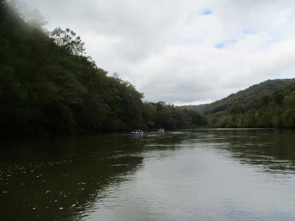
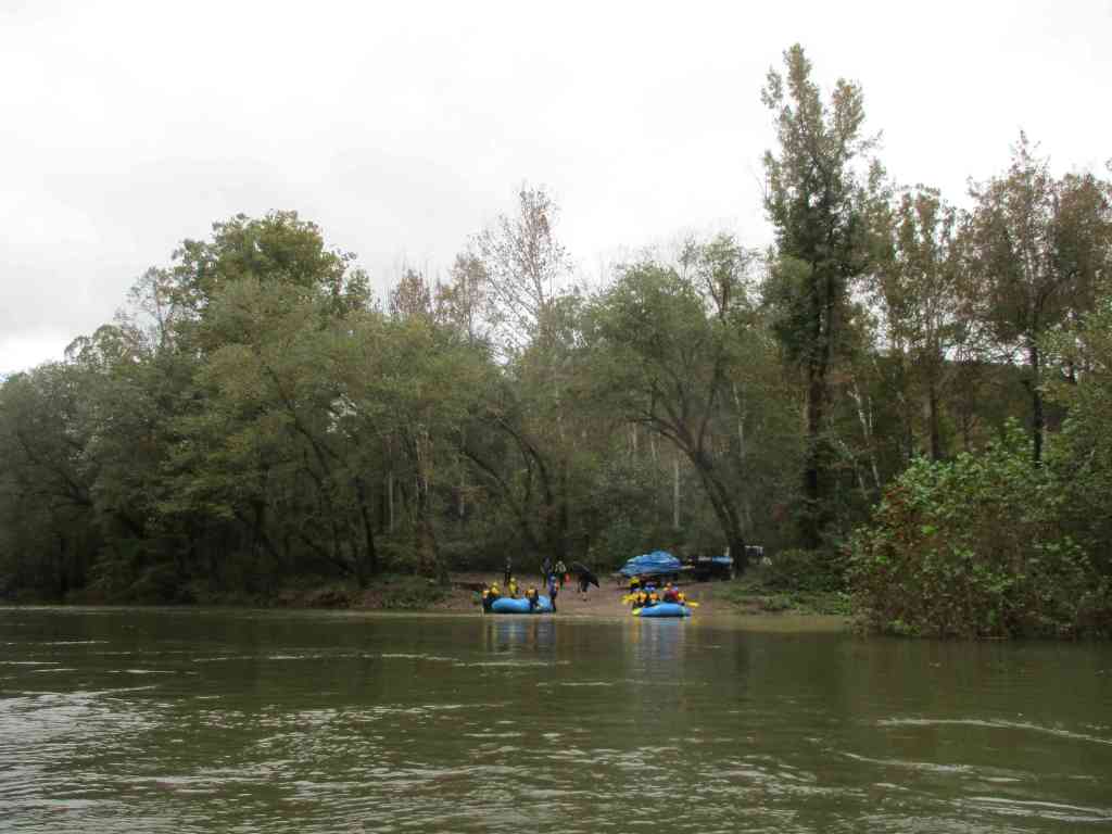
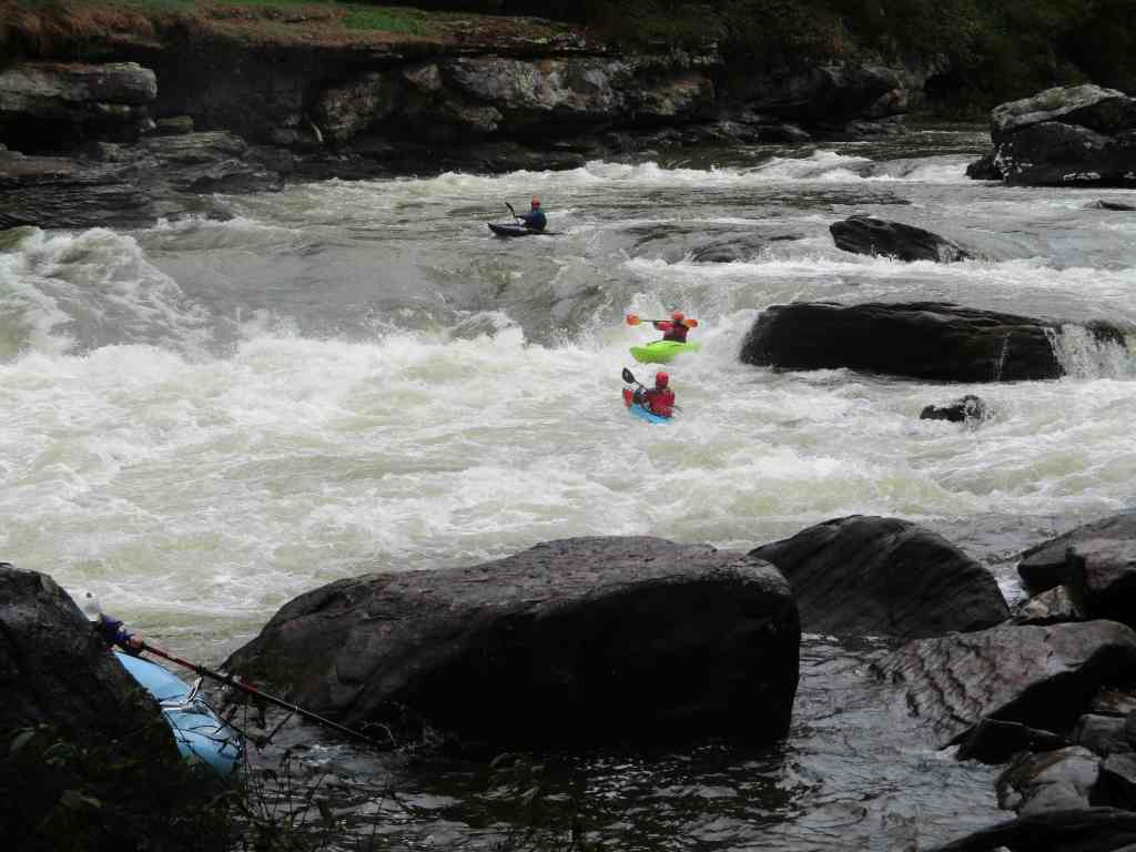
Most of Gauley River National Recreation Area is only accessible by rafting the river on six weekends each fall and occasionally after dam releases in the summer. The stream gradient drops 28 feet per mile over the course of 26 miles known as “The Marathon.” The Upper Gauley has five famous Class V rapids: Insignificant, Pillow Rock, Lost Paddle, Iron Ring, and Sweet’s Falls. The Lower Gauley offers 50 Class III–V rapids and scenic cliffs up to 500 feet high in places. Most visitors go with one of several whitewater guiding companies in the area that offer a variety of options, including overnight trips. Fishermen come to the river to catch trout, smallmouth bass, walleyes, and muskies.
Best Trail
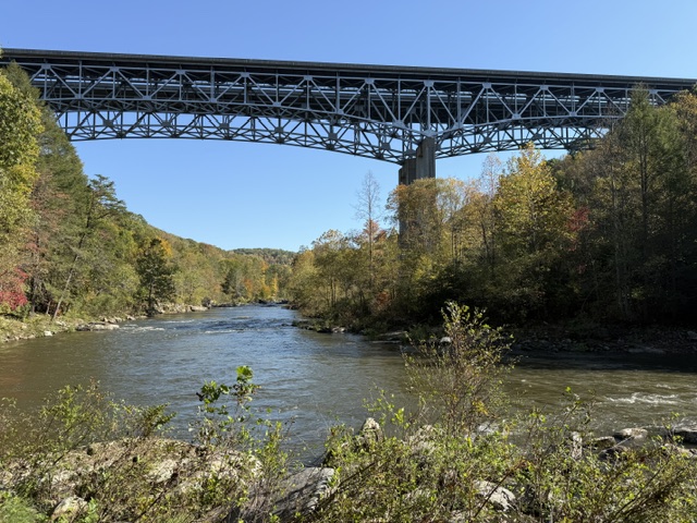
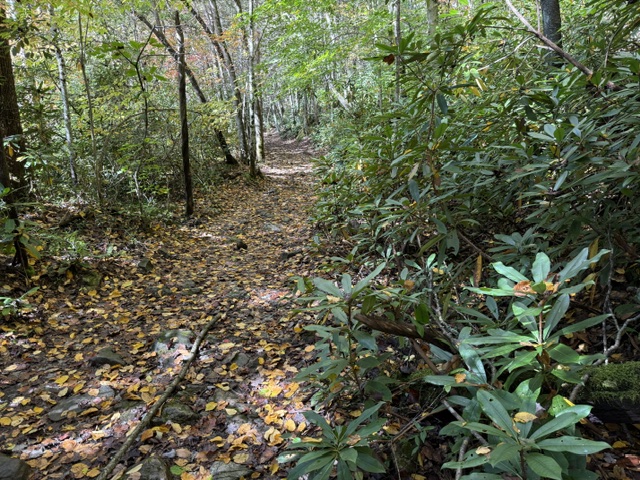
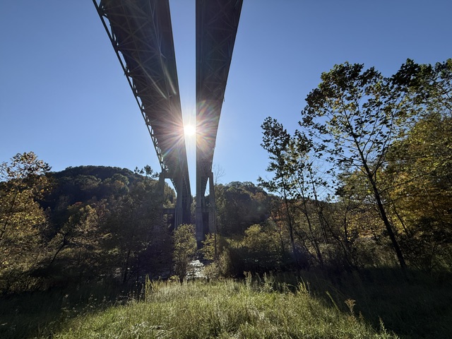
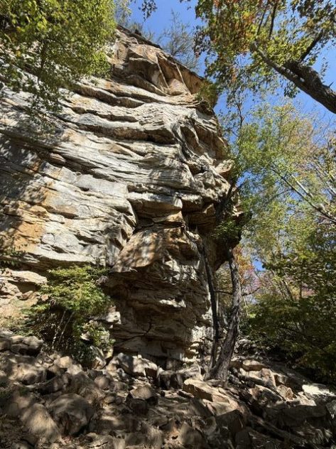
Located right off Highway 19, Meadow River Gorge Trail drops 300 feet down to the river and under the bridge to access several popular rock-climbing areas.
Photographic Opportunity
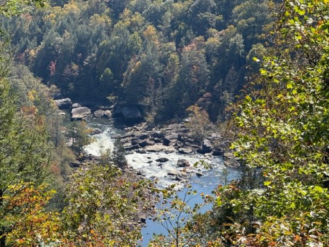
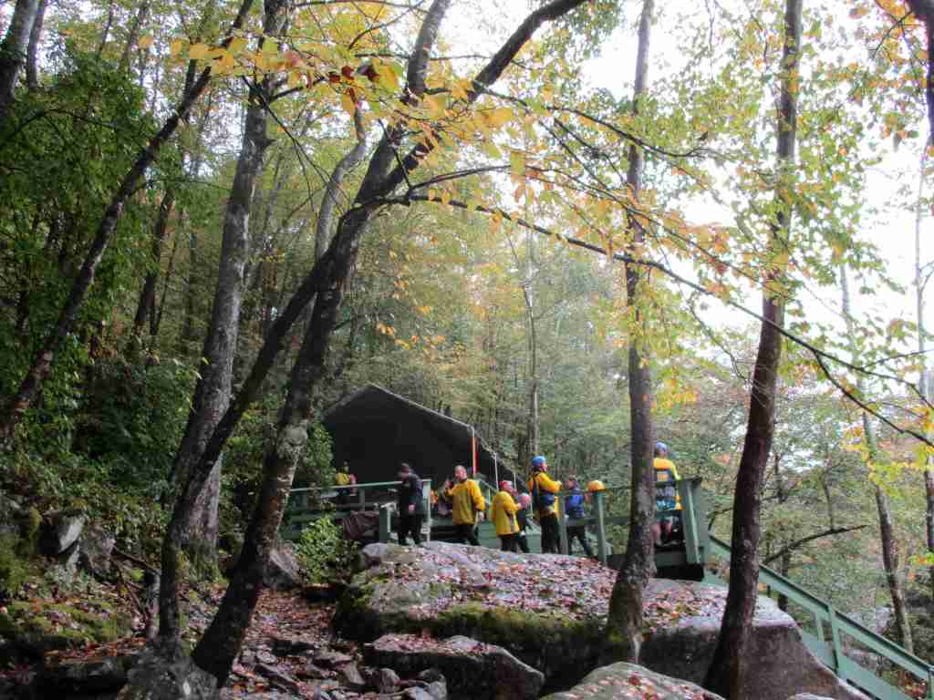
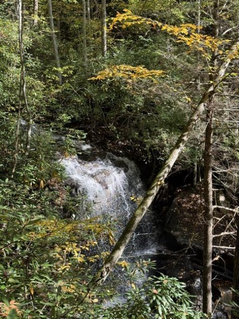
In Carnifex Ferry Battlefield State Park, a short walk down the Patterson Trail leads to an overlook of Pillow Rock Rapids.
Peak Season
Fall
Fees
None
Road Conditions
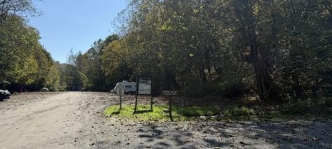
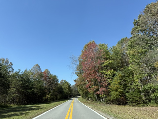
The road to Gauley Tailwaters is paved until it turns to gravel at the very end, but some of the other river access points require a high-clearance vehicle. Access is fully paved to Carnifex Ferry Battlefield State Park and Meadow River Gorge Trail.
Camping
At the dam, Gauley Tailwaters has a primitive campground with bathrooms run by the National Park Service, while the Corps of Engineers offers full-service camping on Summersville Lake. Most of the land along the Gauley River is privately owned, but backcountry camping is allowed for free on public land.
Related Sites
Bluestone National Scenic River (West Virginia)
Monongahela National Forest (West Virginia)
Harpers Ferry National Historical Park (West Virginia-Maryland-Virginia)
Nearest National Park
Explore More – During the Civil War, on what date was the Battle of Carnifex Ferry fought?

