Castle Clinton National Monument
New York
Managed by National Park Service
Established 1946
1 acre
Website: nps.gov/cacl
Overview
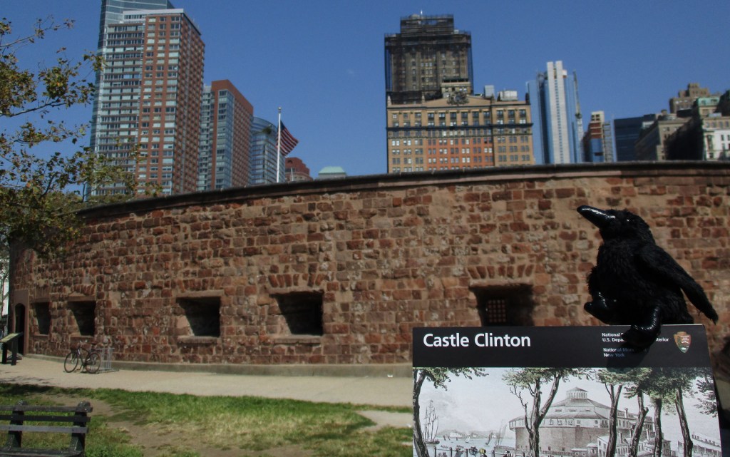
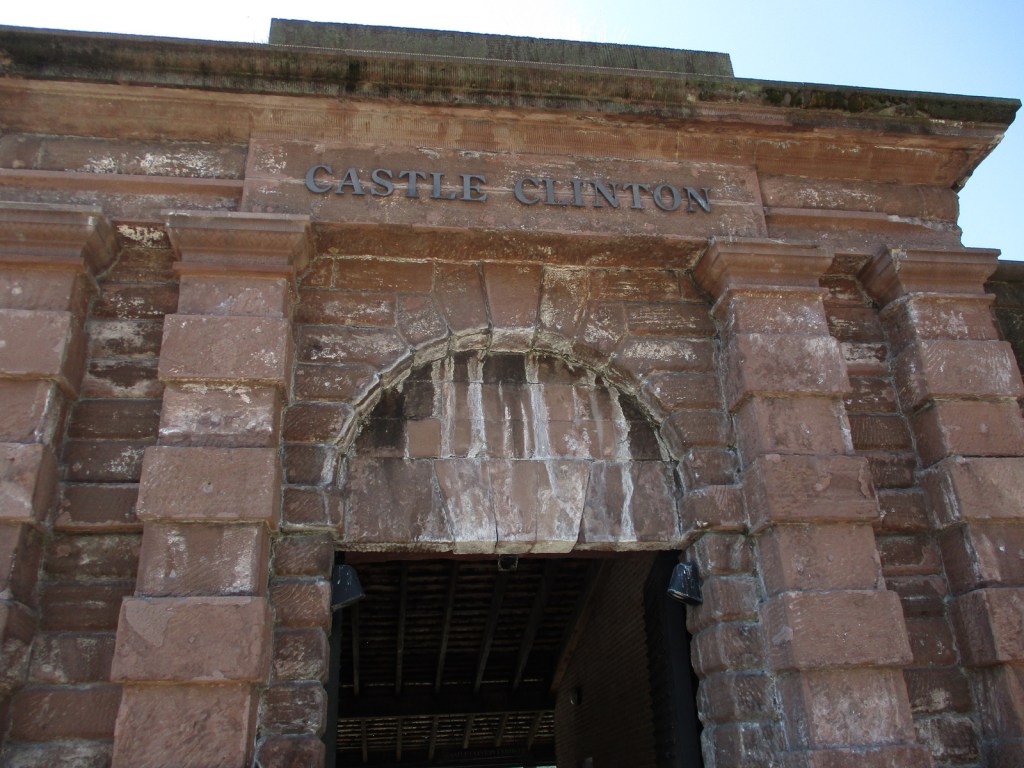
The U.S. military constructed South-west Battery off Manhattan Island’s southern tip by the beginning of the War of 1812, although it never fired a shot in battle. It was renamed Castle Clinton in 1817 to honor former mayor (and future governor) DeWitt Clinton, then once again to Castle Garden only seven years later. After a roof was added in the 1840s, it hosted concerts, including the American debut of Swedish opera diva Jenny Lind in 1850 (tickets cost $225 or equivalent to $8,240 in 2023). The island was joined to the mainland with landfill in the early 1850s, creating Battery Park. From 1855 to 1890, Castle Garden processed approximately eight-million immigrants before the establishment of Ellis Island offshore. Six years after the closing of the immigration station, Castle Garden was converted into the New York City Aquarium, which closed in 1941.
Learn more about the other 137 National Monuments in our book Monumental America: Your Guide to All 138 National Monuments. It is now available for sale on Amazon.com.
Highlights
Castle Clinton, Battery Park
Must-Do Activity
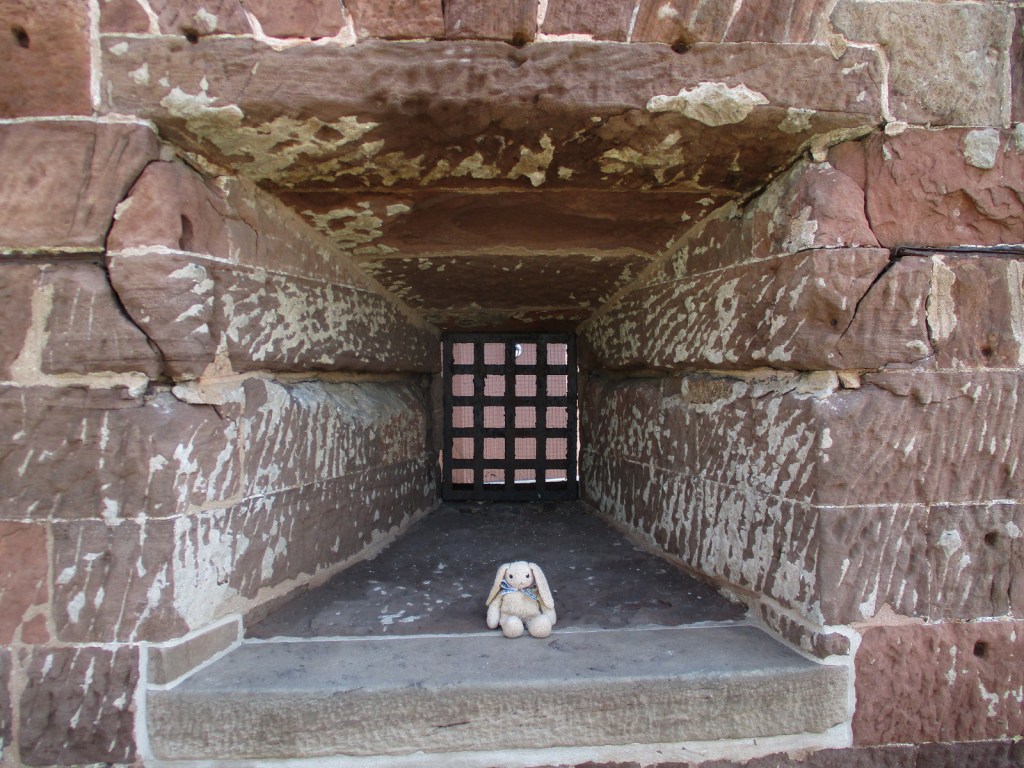
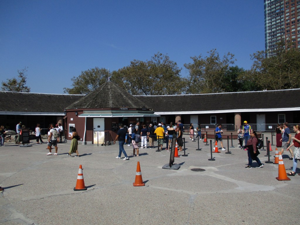
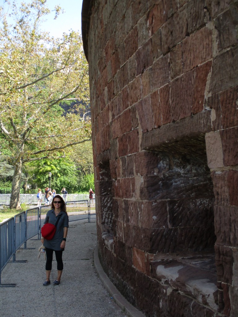
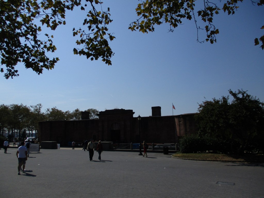
Much of Castle Garden was destroyed during a tunnel construction project in the 1940s, but Castle Clinton remained and was restored three decades later. Today it serves as a National Park Service visitor center, gift shop, and ticket office for ferry trips to Statue of Liberty National Monument. There are also exhibits along the perimeter of the D-shaped fort, including a display with cannon. Ranger-guided tours of the site are offered daily.
Best Trail
There are sidewalks and a seaside promenade in ——-24-acre Battery Park. Be sure to check out the bronze sculpture “The Immigrants” outside the fort.
Photographic Opportunity
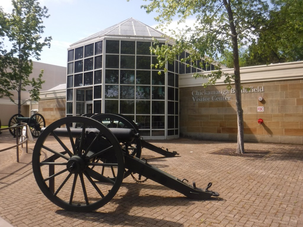
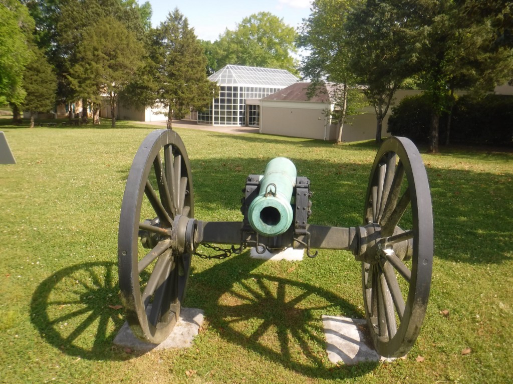
There once were “28 guns” facing New York Harbor from within Castle Clinton, and one display cannon remains.

Peak Season
Summer
Hours
https://www.nps.gov/cacl/planyourvisit/hours.htm
Fees
None
Road Conditions
Roads are heavily trafficked and there is no designated parking for the National Park Service site, so we recommend you take the subway.
Camping
None
Related Sites
Statue of Liberty National Monument (New York-New Jersey)
Governors Island National Monument (New York)
Stonewall National Monument (New York)


Explore More – Today, what percentage of Americans can trace their roots to one of the nearly eight-million immigrants processed at Castle Garden from 1855 to 1890?

Learn more about the other 137 National Monuments in our book Monumental America: Your Guide to All 138 National Monuments