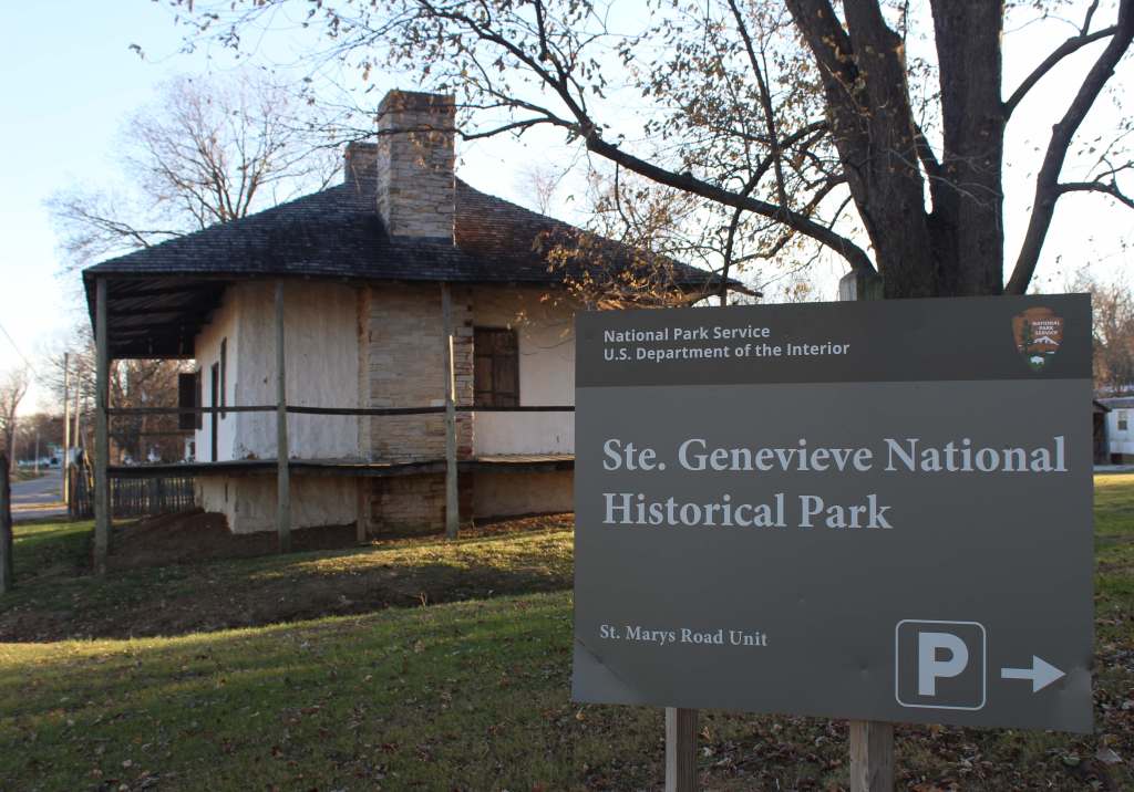
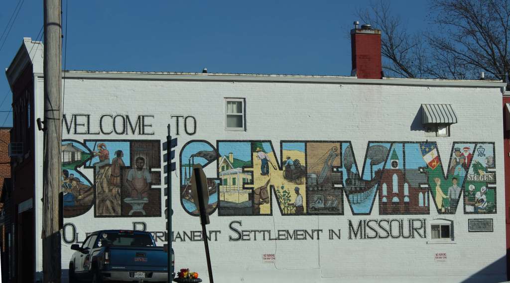
Ste. Genevieve National Historical Park
Missouri
Managed by National Park Service
Established 2020
13 acres
Website: nps.gov/stge
Overview
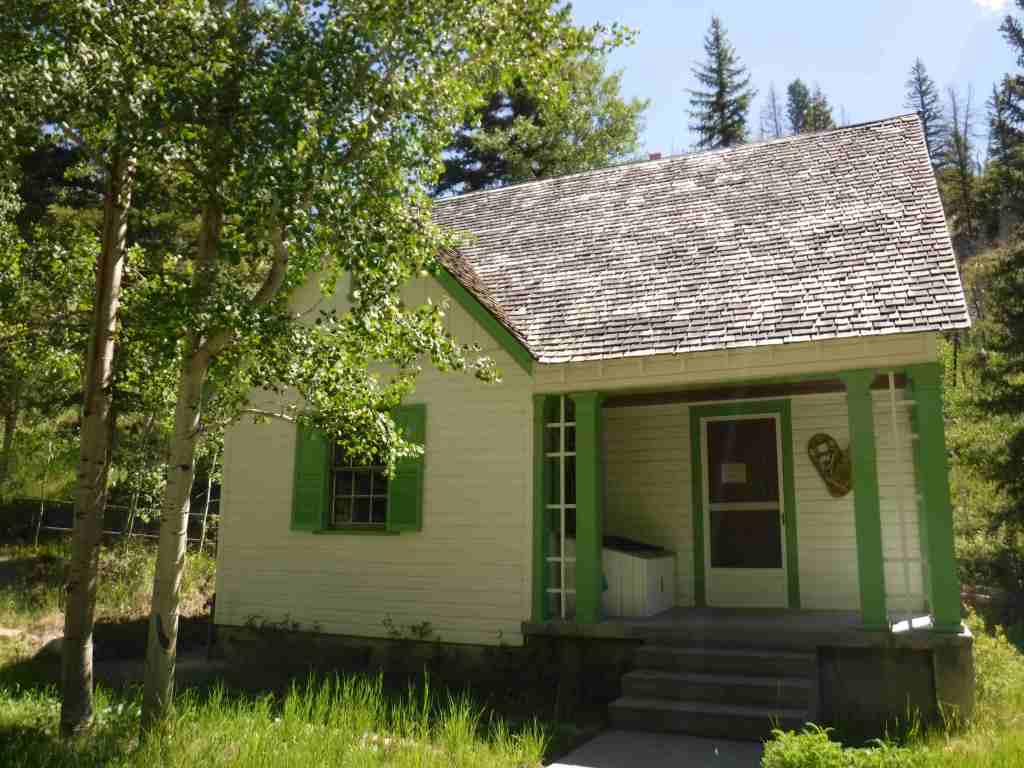
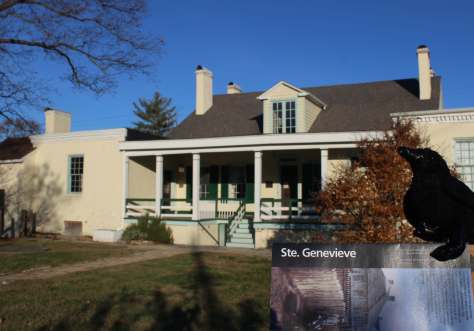
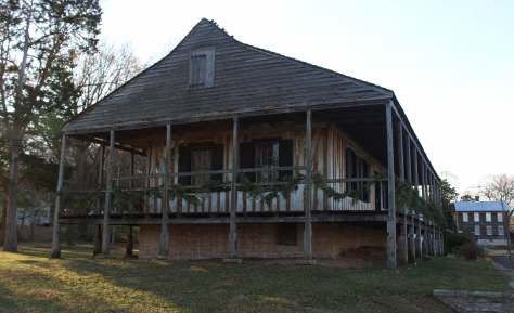
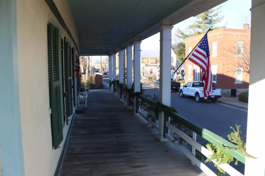
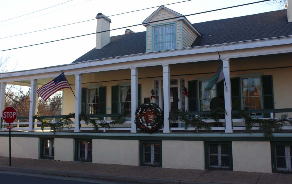
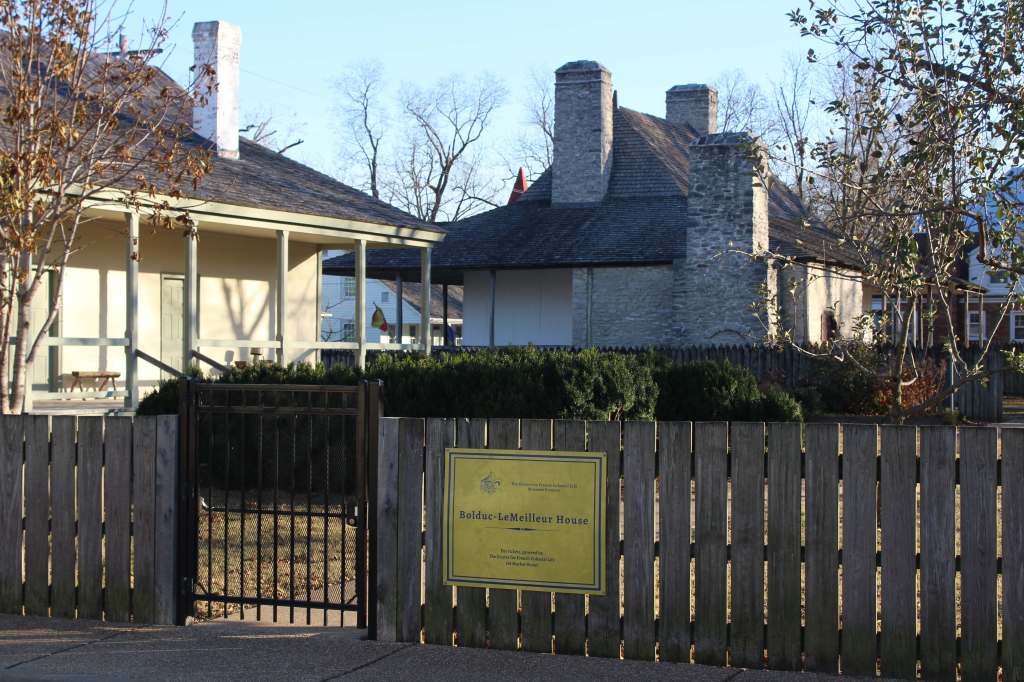
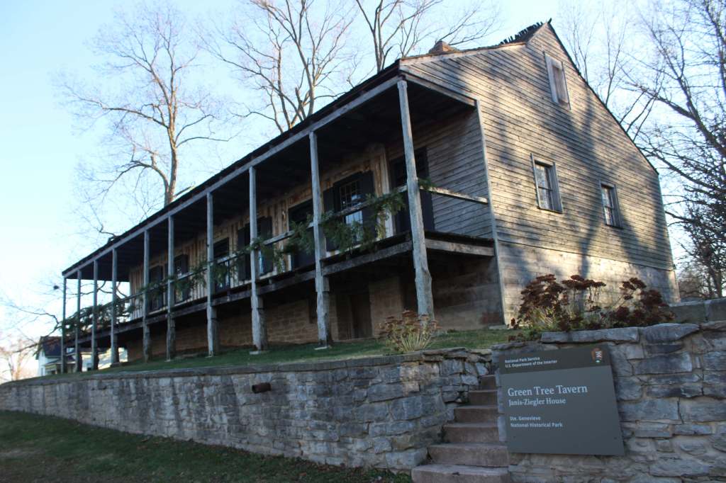
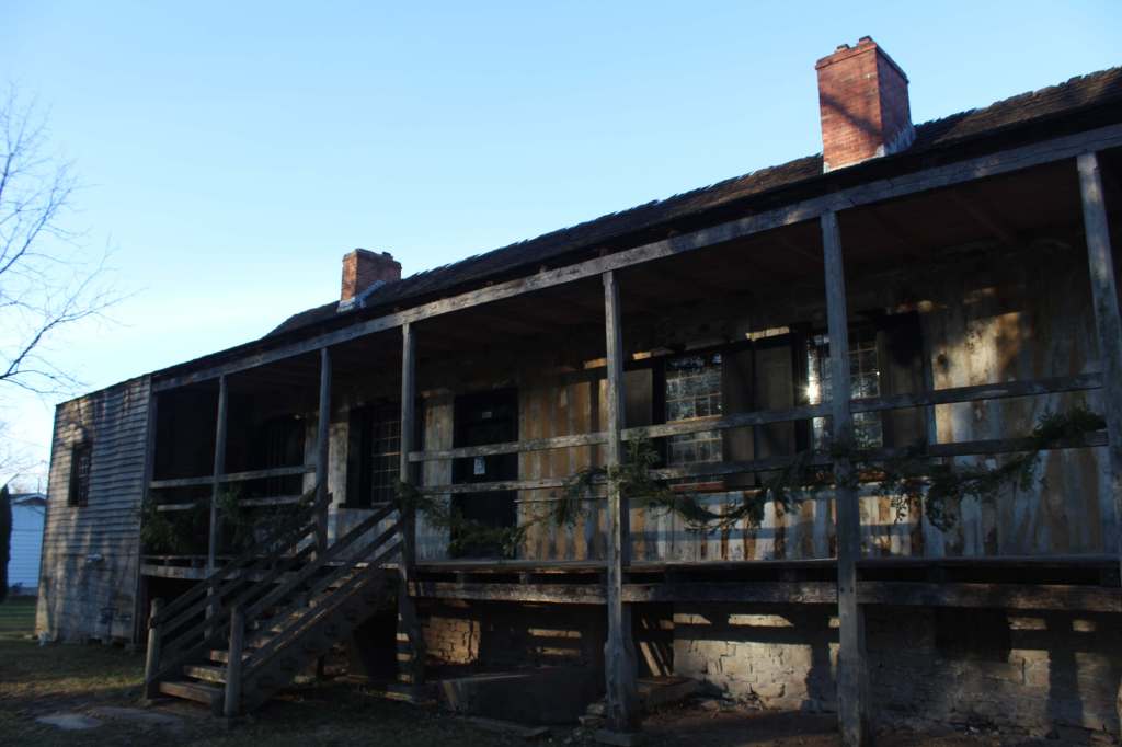
This park was established to protect the French colonial-era houses of Missouri’s first permanent settlement where residents still go all out to celebrate Bastille Day. Originally colonized by Canadians in the 1750s, the original site of Ste. Genevieve was abandoned and moved three miles away after Mississippi River flooding in 1785. The oldest standing structure today is the Green Tree Tavern that dates back to 1790 based on dendrochronology. The Bolduc House (built in 1792) was restored in 1957 and is managed by the National Society of The Colonial Dames of America, while the Old Brick House from 1804 is now a restaurant.
Highlights
Jean Baptiste Vallé House and Gardens, film, Bauvais-Amoureux House, Green Tree Tavern, Levee Trail
Must-Do Activity
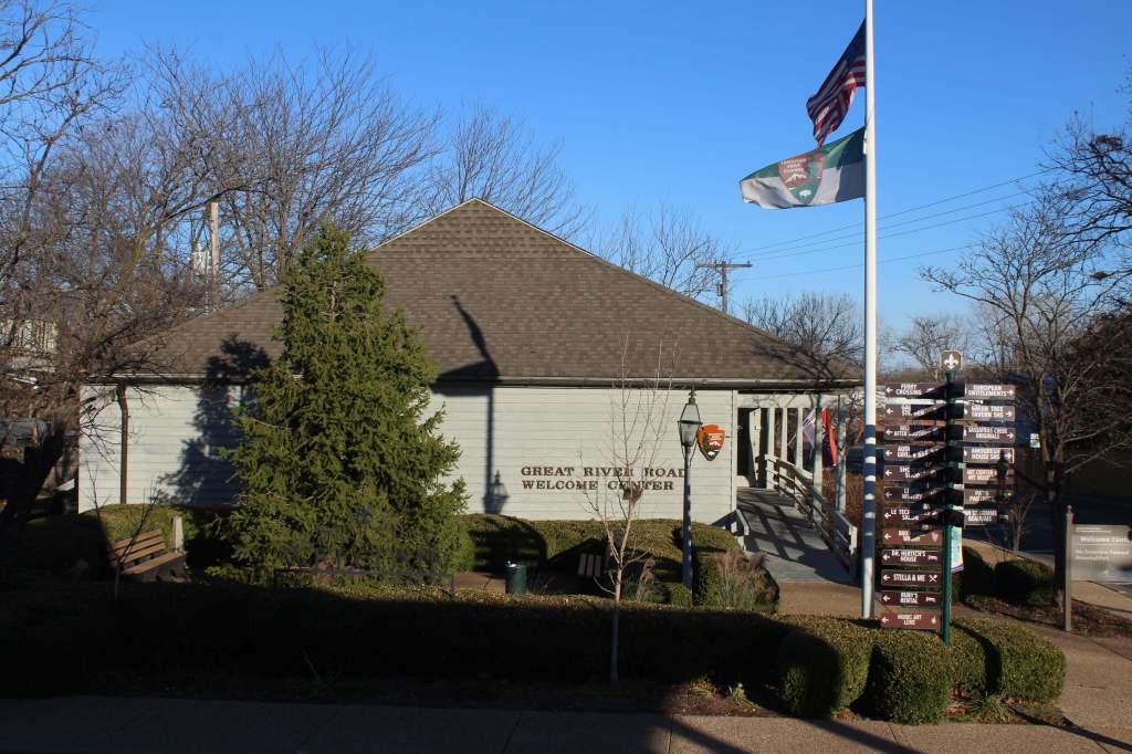
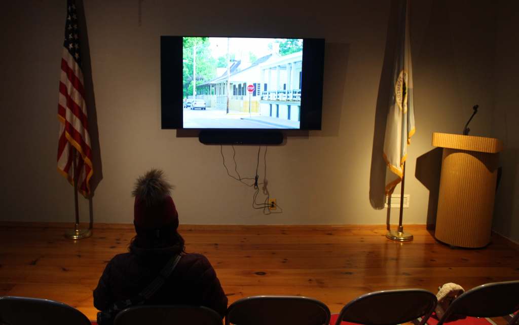
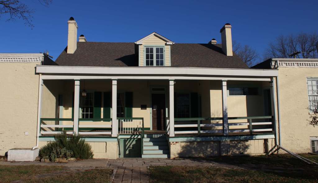
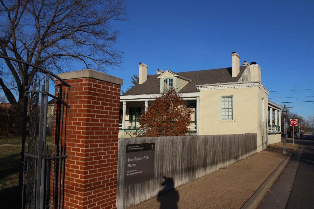
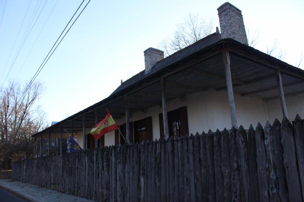
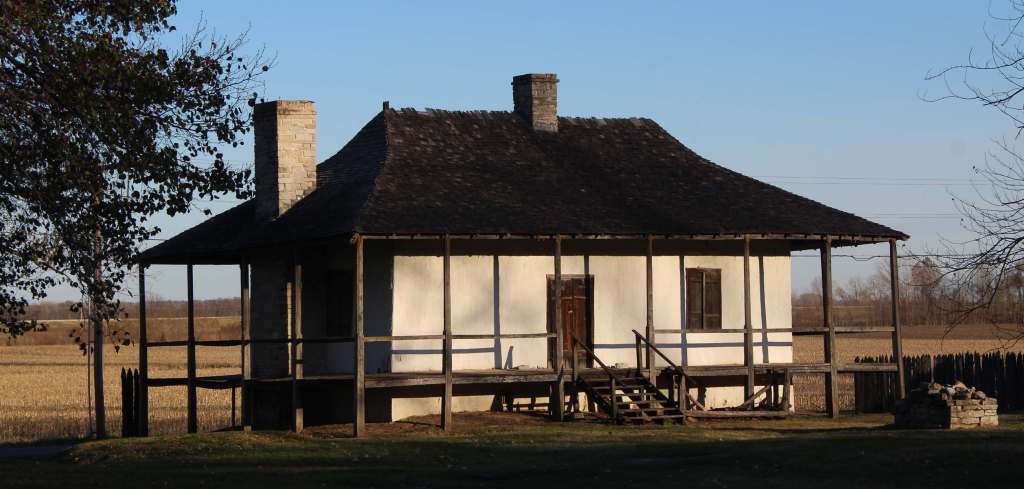
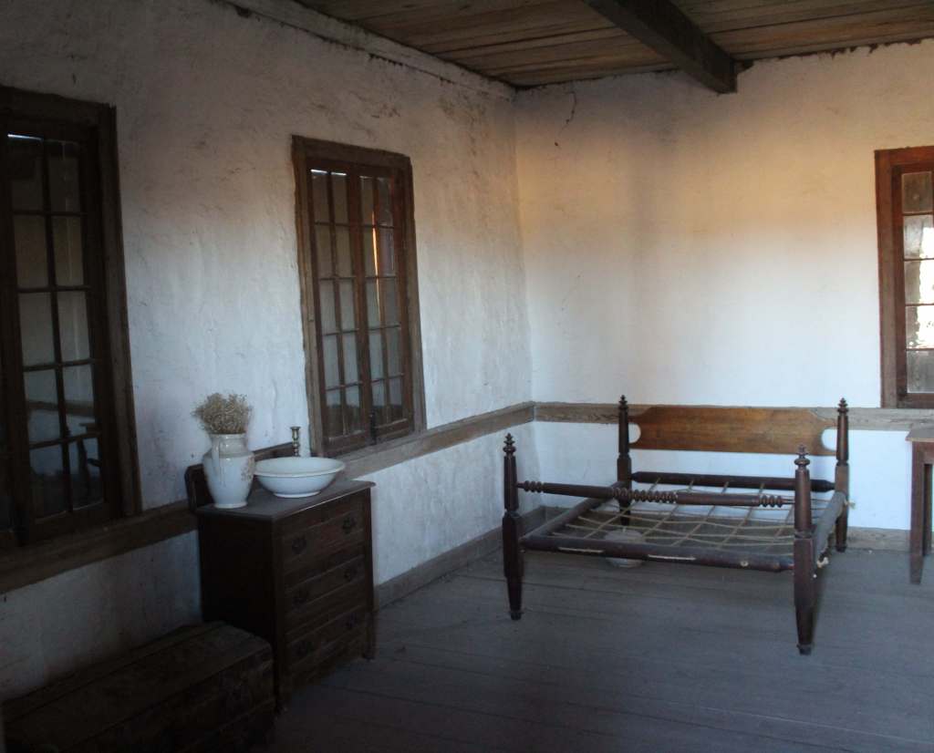
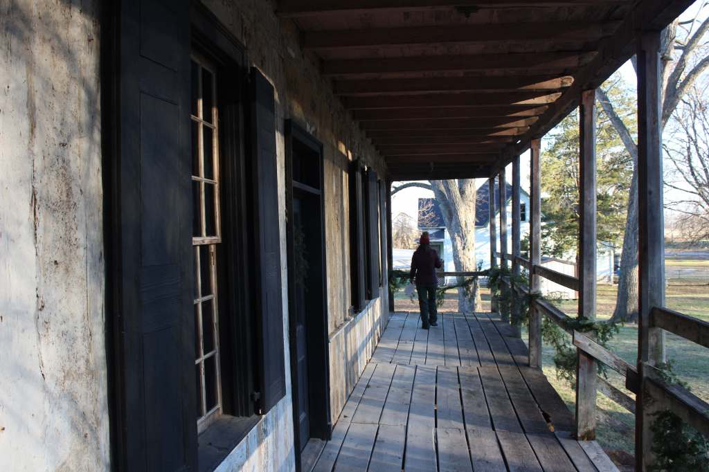
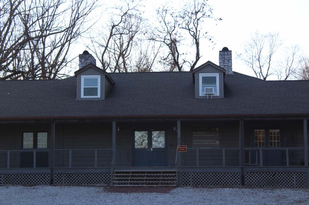
Start at the Ste. Genevieve Welcome Center at 66 South Main Street to watch the film and pick up a Junior Ranger booklet. Across the street, the Jean Baptiste Vallé House (built in 1794) can be entered for ranger-led programs, while what is believed to be the first rose garden west of the Mississippi River is open dawn to dusk. The Bauvais-Amoureux House (built in 1792) is one of only five surviving poteaux-en-terre (“post in ground”) style houses in North America. It is open daily for self-guided visits, as is the Green Tree Tavern.
Best Trail
The 3.5-mile-long Levee Trail follows the Mississippi River from a gravel parking lot about a mile from the Ste. Genevieve Welcome Center.
Photographic Opportunity
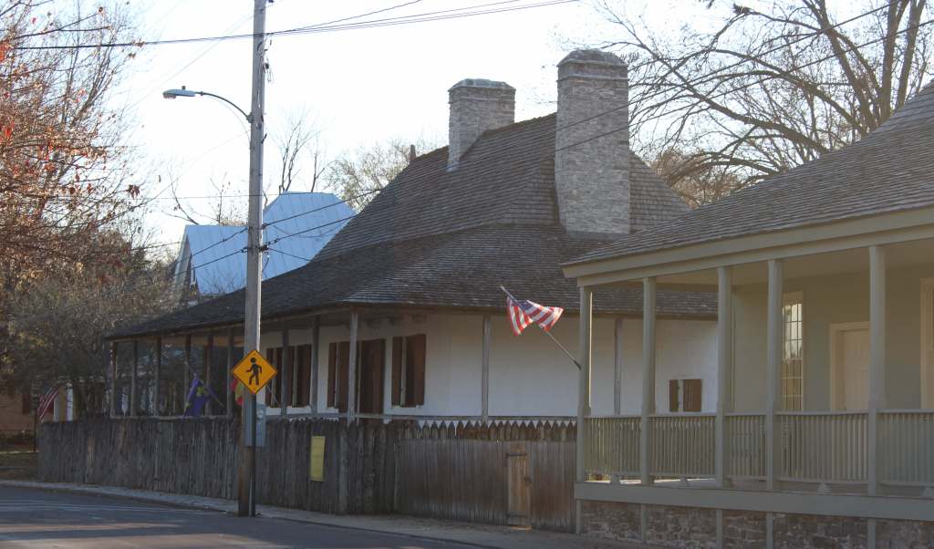
Dating back to 1790, Green Tree Tavern served as a home, inn, tobacco shop, and Masonic Lodge, and it is one of the few buildings where the vertical logs used in construction are clearly visible.
Peak Season
Spring and fall
Hours
https://www.nps.gov/stge/planyourvisit/hours.htm
Fees
None
Road Conditions
From Interstate 55, Missouri Highway 32 heads east for about four miles. From southern Illinois, the Ste. Genevieve-Modoc Ferry takes cars across the Mississippi River. While most roads in town are paved, there are narrow gravel drives for parking at Green Tree Tavern and Bauvais-Amoureux House that may not be suitable for RVs.
Camping
Mark Twain National Forest and Ozark National Scenic Riverways both offer numerous campgrounds, and Johnson’s Shut-Ins State Park is renowned for the RV campsites in its campground.
Related Sites
Ulysses S. Grant National Historic Site (Missouri)
George Washington Carver National Monument (Missouri)
Mark Twain National Forest (Missouri)
Ozark National Scenic Riverways (Missouri)
Nearest National Park
Explore More – Who was Ste. Genevieve and what famous French city is she the patron saint of?