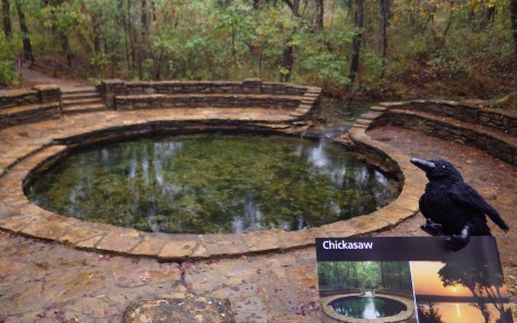
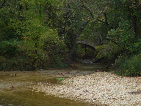
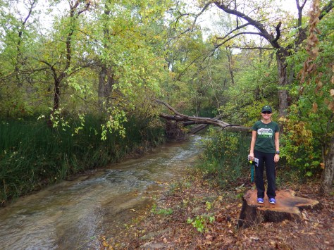
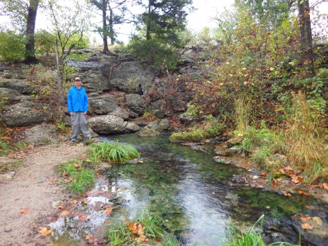
In 1976, Platt National Park was combined with the nearby reservoir at Arbuckle National Recreation Area to form Chickasaw National Recreation Area, named for the neighboring Chickasaw Nation of central Oklahoma. The trails and infrastructure in the park were predominantly built in the 1930s by the Civilian Conservation Corps (CCC).
Highlights
Natural springs, bison herd, Lincoln Bridge, reservoir
Must-Do Activity
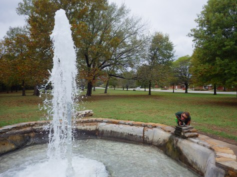
Visitors should start at the Travertine Nature Center, then visit the bison pasture and “take the waters” at Vendome Well. Other diverse recreational opportunities include camping and water sports on the Lake of the Arbuckles.
Best Trail
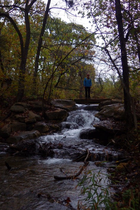
Take the trail from the Travertine Nature Center to Antelope Springs and photogenic Buffalo Springs. There is also loop trail around the bison pasture.
Instagram-worthy Photo
The U.S. Mint quarter (see photo below) for Oklahoma depicts the Lincoln Bridge built by the CCC, but it can be difficult to photograph through the trees.
We are a participant in the Amazon Services LLC Associates Program, an affiliate advertising program designed to provide a means for us to earn fees by linking to Amazon.com and affiliated sites.
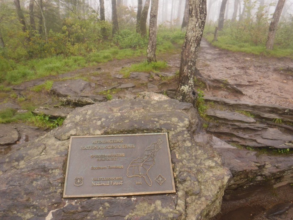
The Appalachian Trail (or A.T.) is one of only three National Scenic Trails that the National Park Service (NPS) includes in its total of 420+ units, despite there being many other affiliated trails (some with their own Visitor Centers). The trail stretches 2,185 miles from Springer Mountain, Georgia (in Chattahoochee National Forest‘s Ed Jenkins National Recreation Area) to Mount Katahdin, Maine, crossing 14 states, 6 NPS sites, 8 National Forests, and countless other parks.
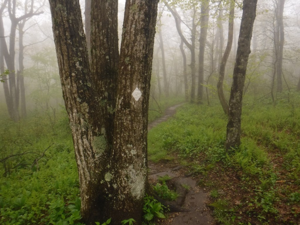
Even if just for a short stretch, gets a taste for the A.T. by following the white rectangular blazes going north or south anywhere along its length. The trail through Newfound Gap in Great Smoky Mountains National Park is especially popular. Check out our blog post on the short hike to the southern terminus of the A.T. at Georgia’s Springer Mountain in Chattahoochee National Forest‘s Ed Jenkins National Recreation Area.
Best Trail
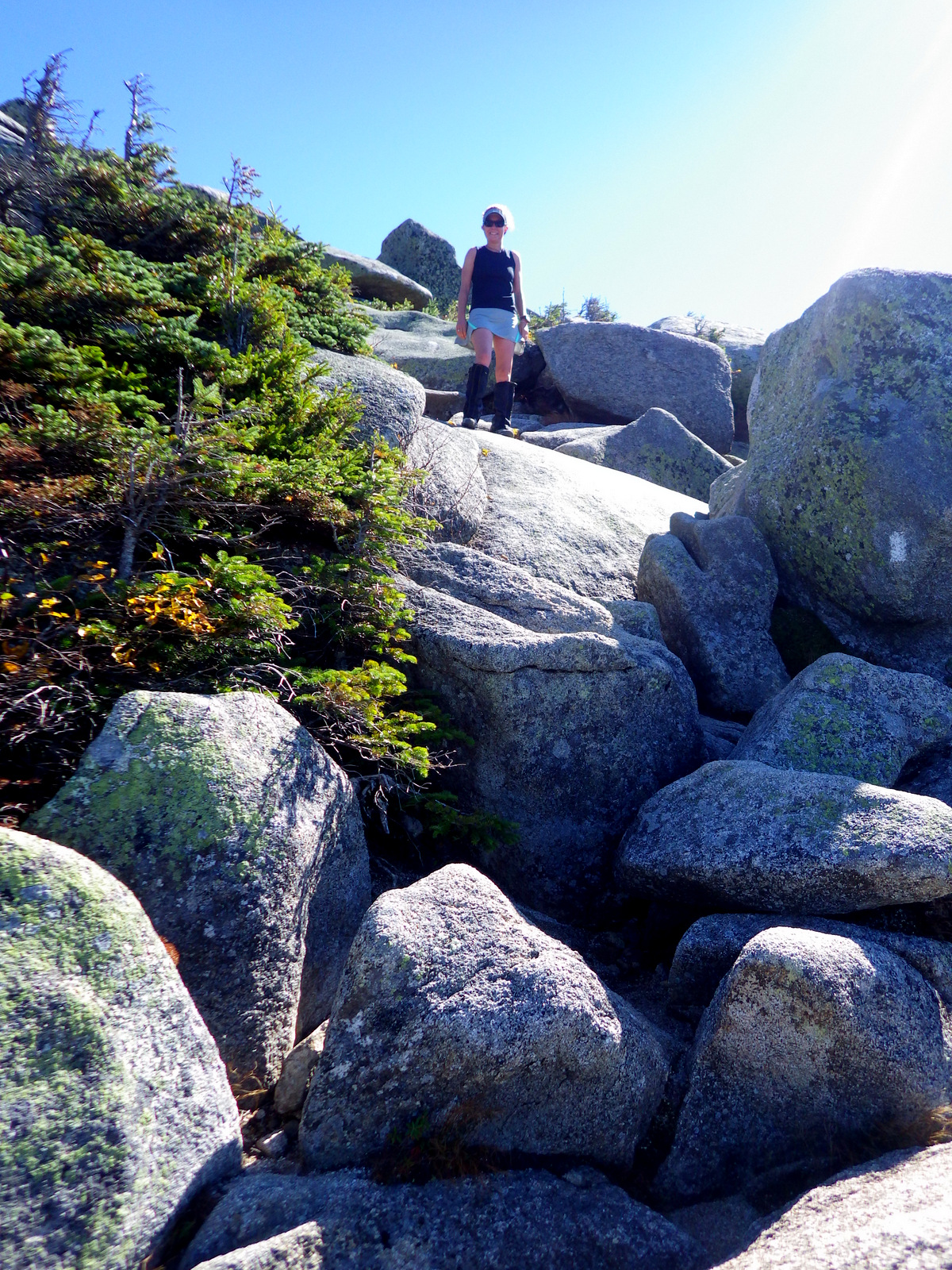
The last stretch of the trail ascends Katahdin in Maine’s Baxter State Park. My impression from the surly park employees is that they would rather not be the official end of the Appalachian Trail. For instance, they fined record-setting Scott Jurek for public alcohol consumption and littering when he spilled some champagne celebrating his accomplishment atop Katahdin in 2015. The funny thing about the A.T. is that it ends (and begins) on top of a mountain where you have to turn around and hike out.
Instagram-worthy Photo
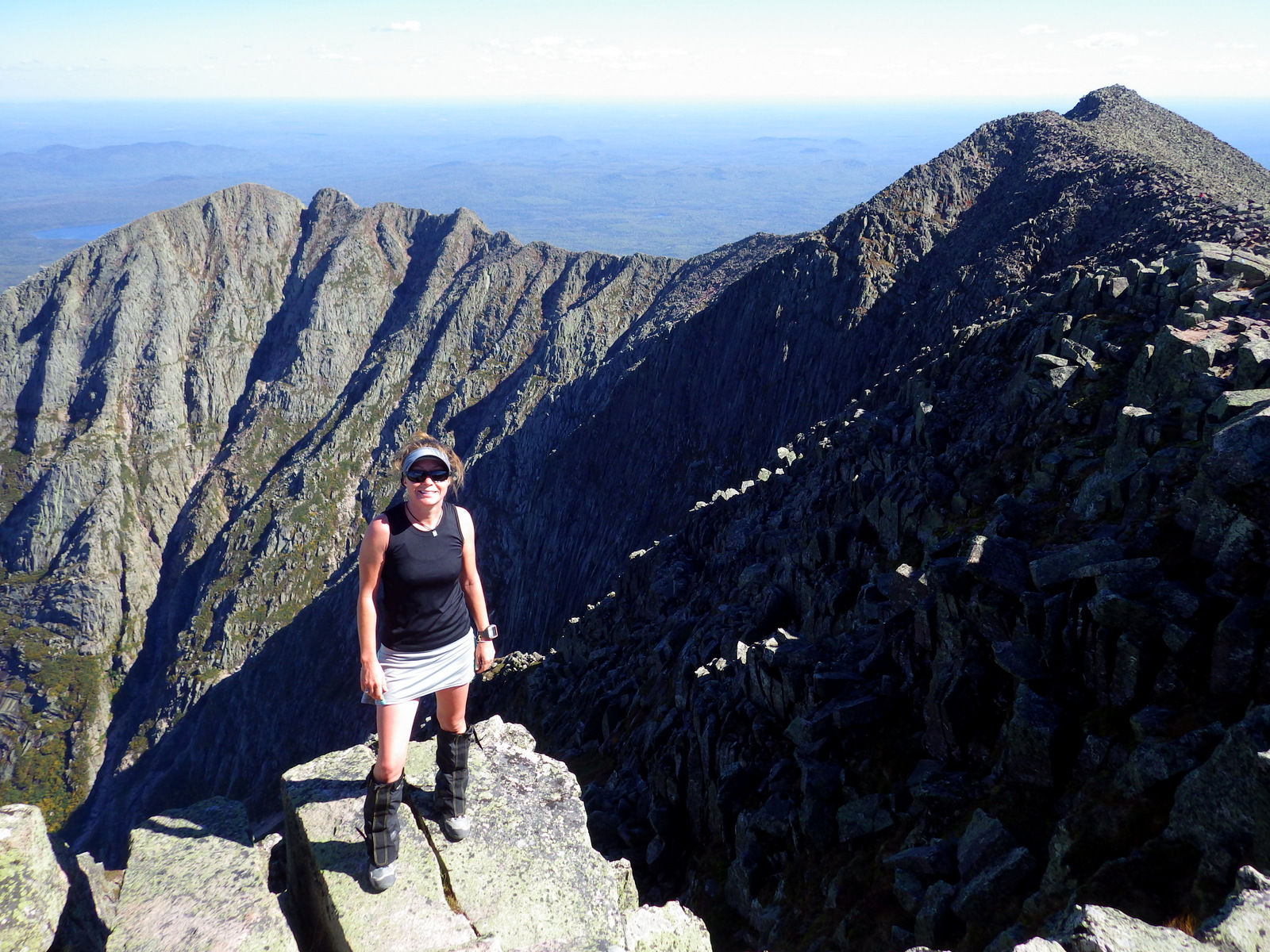
The views on top of Katahdin are unsurpassed and you might get to celebrate with a thru-hiker finishing the 2,185-mile journey.
Peak Season
Most thru-hikers go in the summer due to snow. Baxter State Park closes in the winter, but most of the trail is accessible year round.
Trailhead access can be both paved and dirt (which is the case in Baxter State Park). The trail is only paved in a few portions like atop Clingman’s Dome in Great Smoky Mountains National Park.
Camping
There are more than 160 trail shelters along the A.T. and in some places like Great Smoky Mountains National Park backpackers are required to utilize them. Otherwise dispersed camping is mostly allowed along the entire length of the trail.
Raven about the park!A view looking east at the new Katahdin Woods and Waters National Monument.Follow the white blazesOn top of Springer Mountain in GeorgiaTrail register at the southern terminus of the A.T.Wondon on a gnarled maple atop Springer Mountain
Explore More – Approximately how many steps must a human take to cover 2,185 miles?
45.904400-68.921565
Start your U.S. National Parks, National Forests, and National Monuments adventure here!