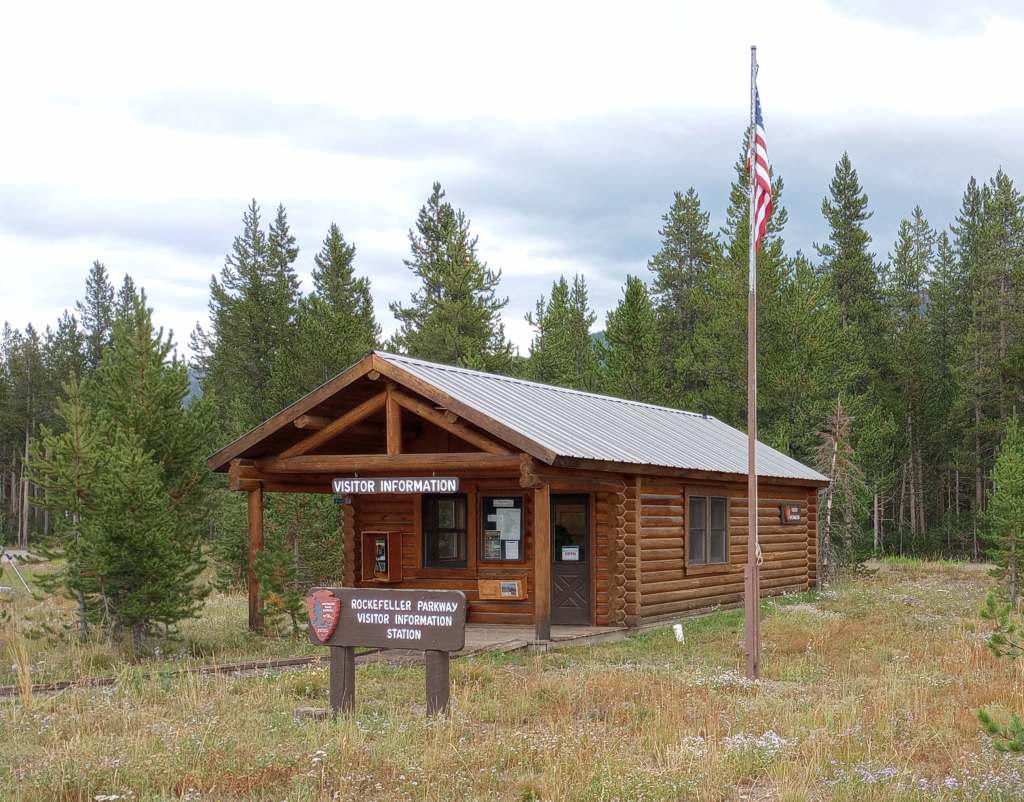
John D. Rockefeller, Jr. Memorial Parkway
Wyoming
Managed by National Park Service
Established 1972
23,777 acres
Website: https://www.nps.gov/grte/planyourvisit/jodr.htm
Overview
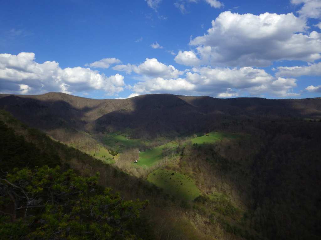
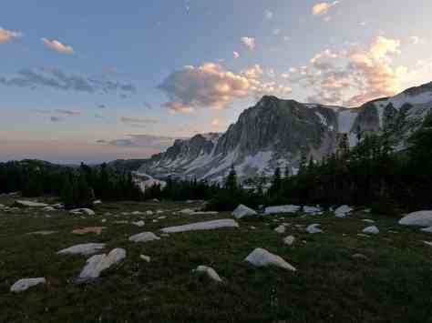
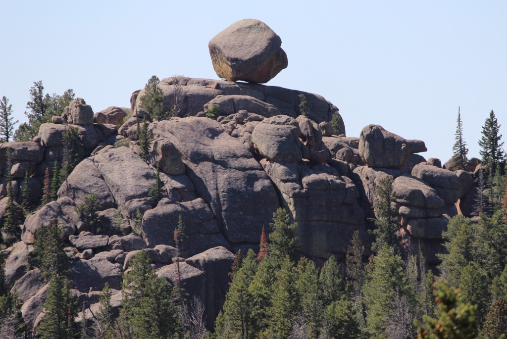
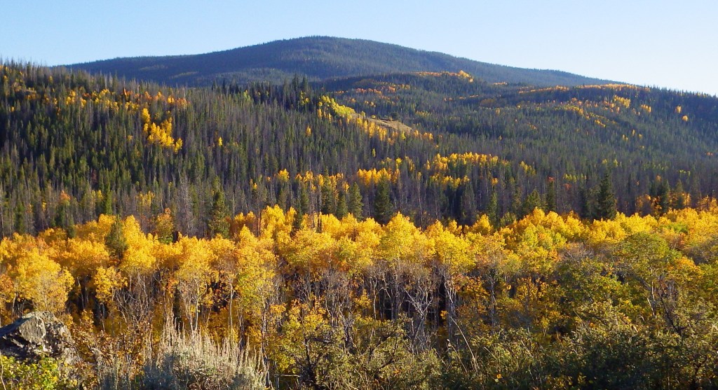
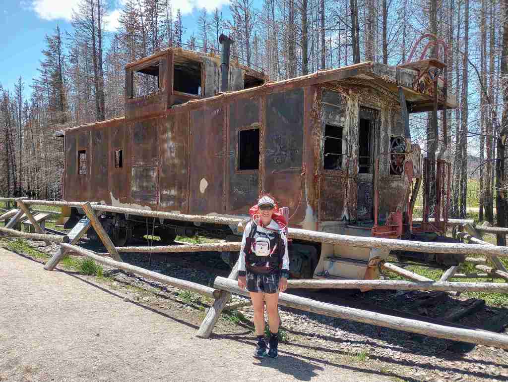
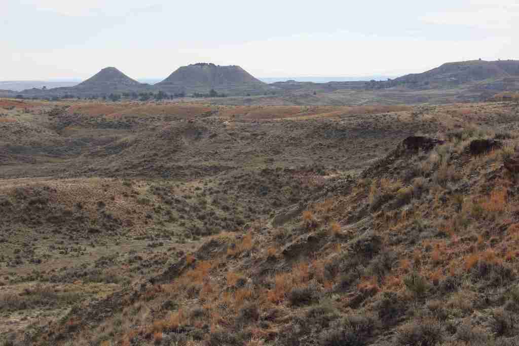
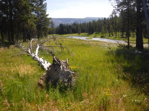
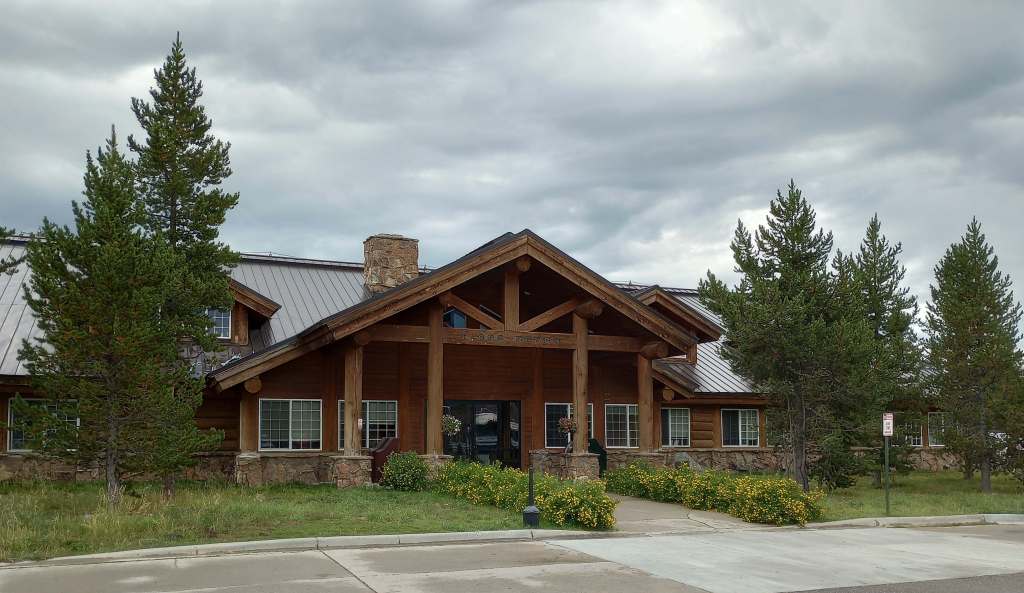
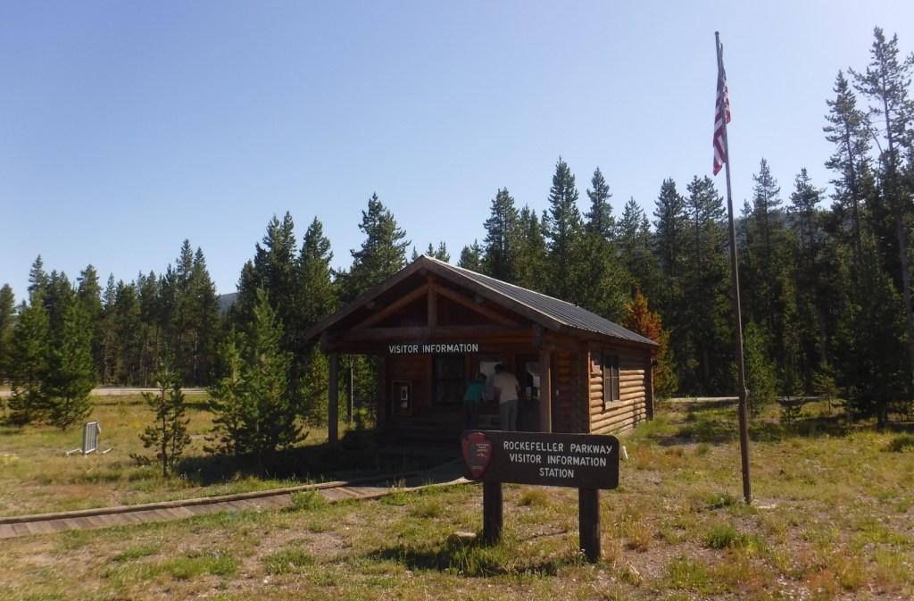
John D. Rockefeller, Jr. Memorial Parkway shares 82 miles of two-lane road that is U.S. Routes 89, 191, and 287 from Grand Teton National Park National Park north to West Thumb Geyser Basin in Yellowstone National Park. Its name honors the conservationist and philanthropist who contributed to the creation of Acadia, Grand Teton, Great Smoky Mountains, and Virgin Islands National Parks. Originally part of Teton National Forest, this land includes the Flagg Ranch concession, which had its lodge, restaurant, gas station, and campground moved from along the Snake River to a point less visible from the road in 2002.

Highlights
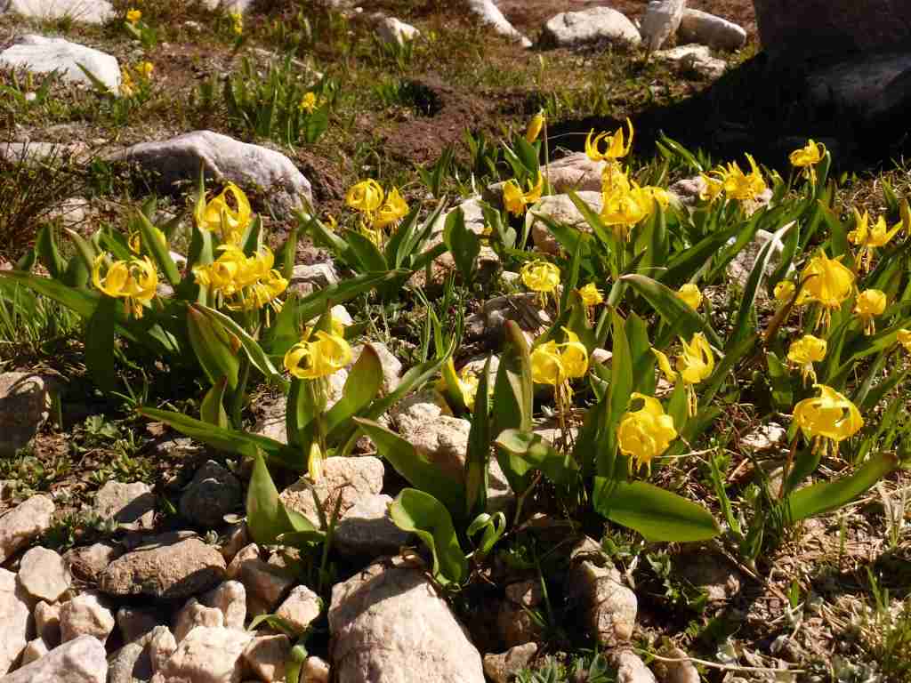
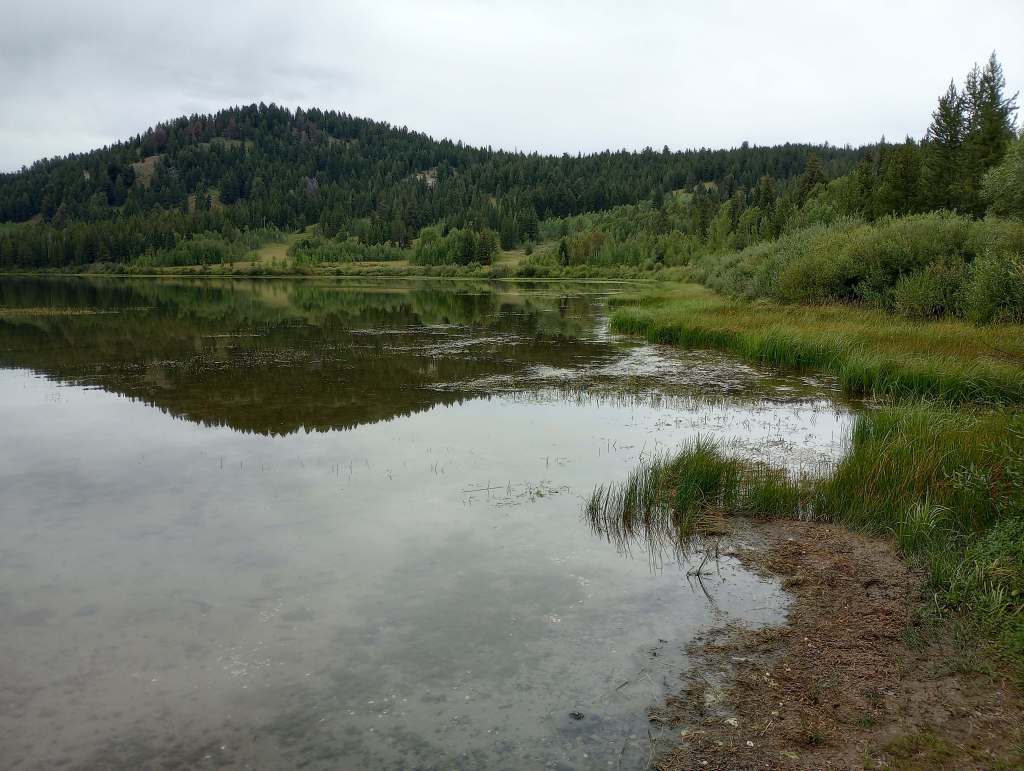
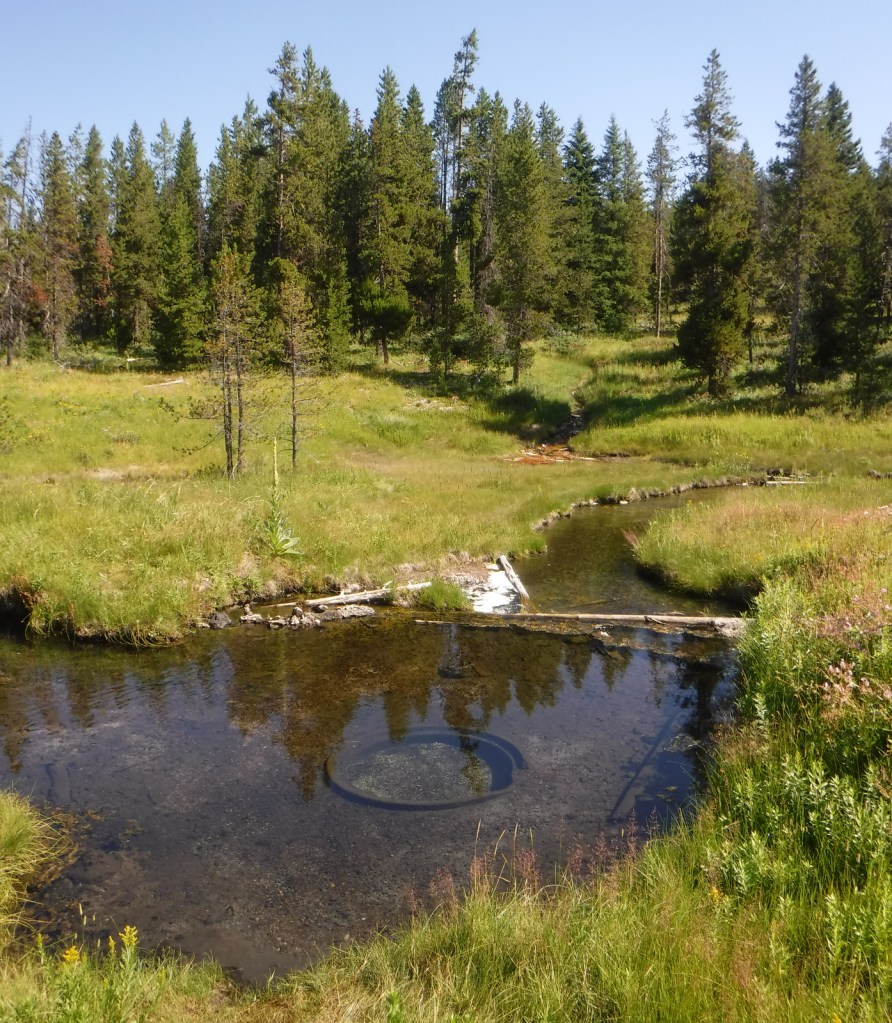
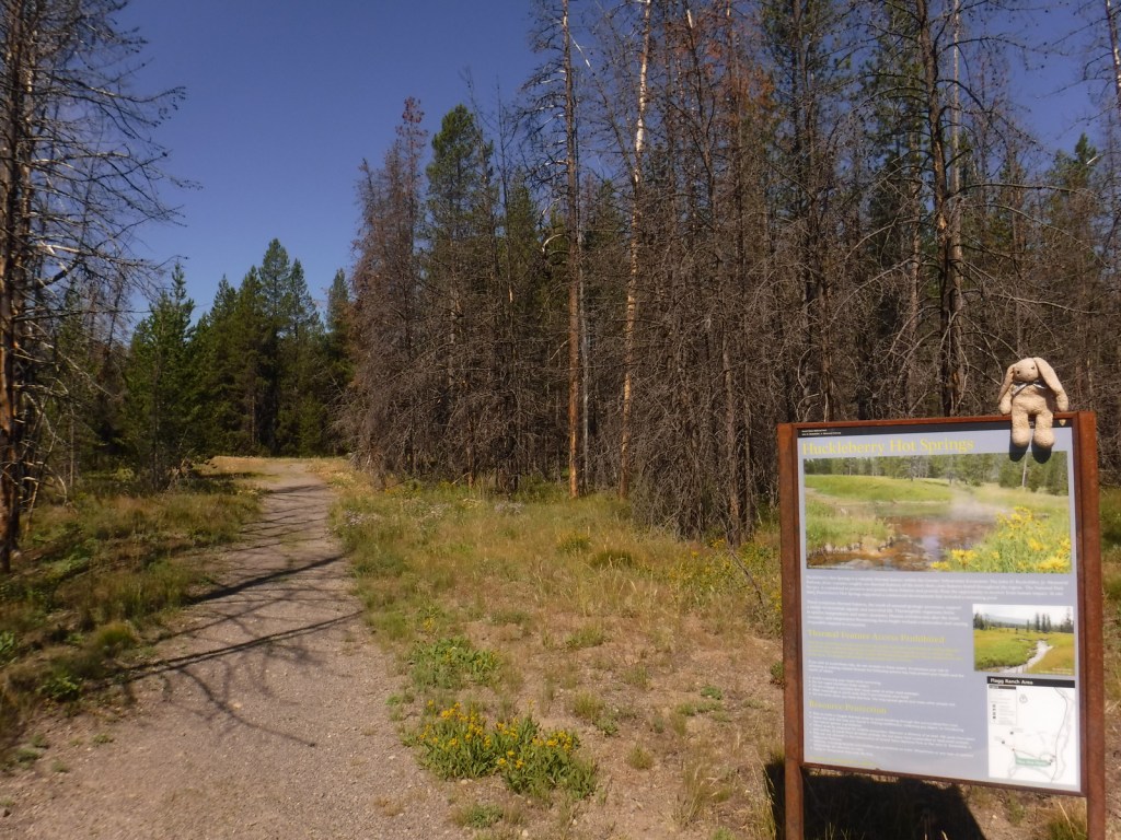
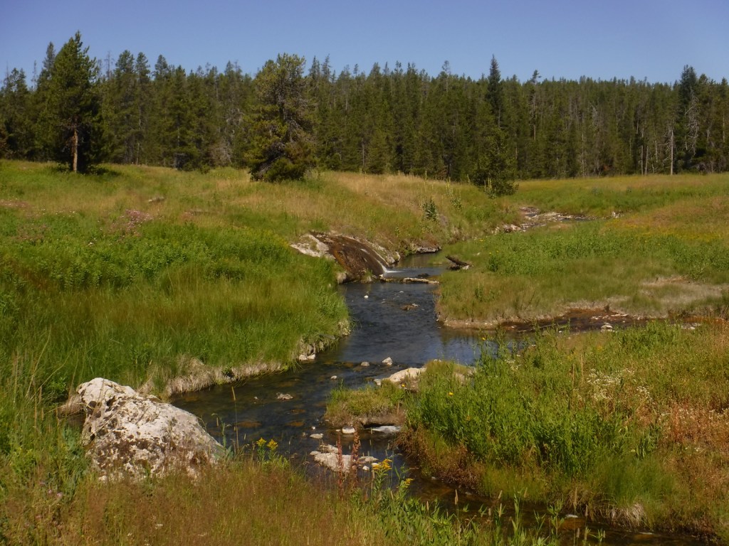
Flagg Ranch, Huckleberry Hot Springs, Polecat Hot Springs
Must-Do Activity
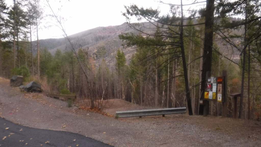
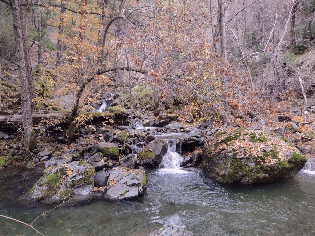
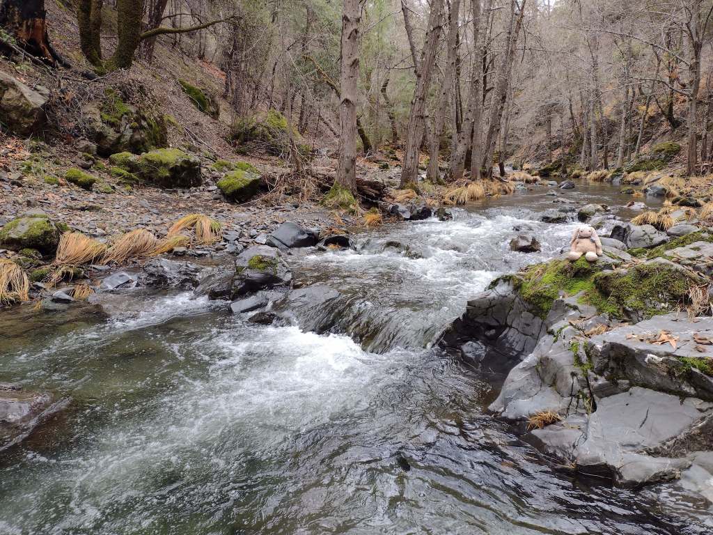
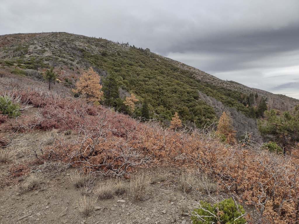
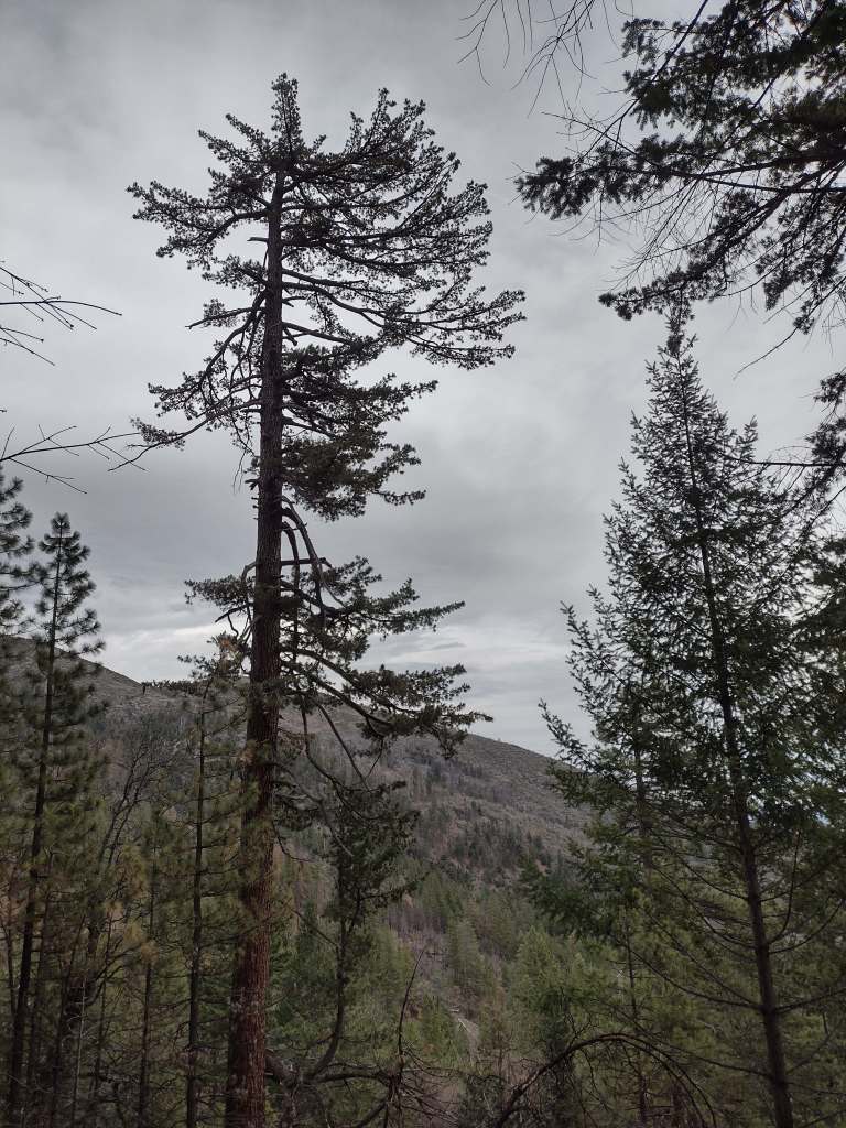
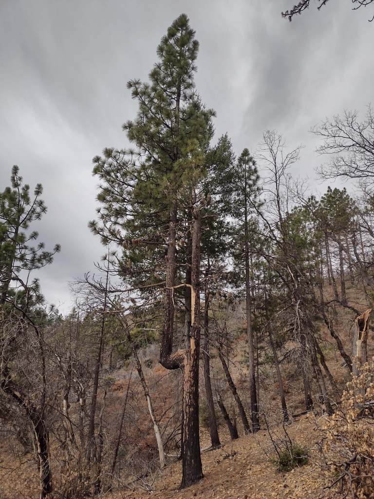
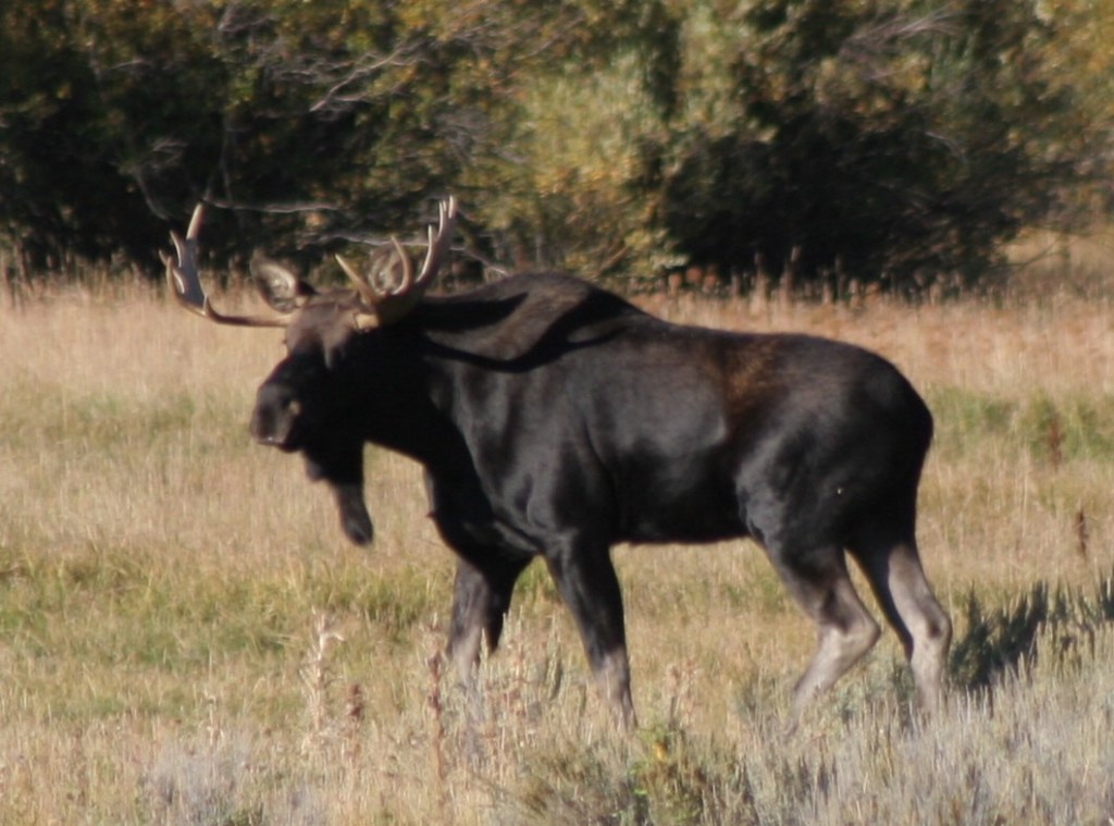
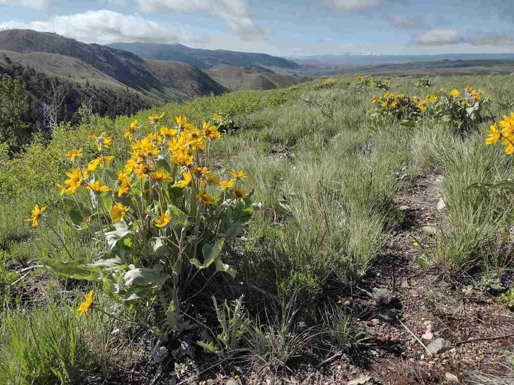
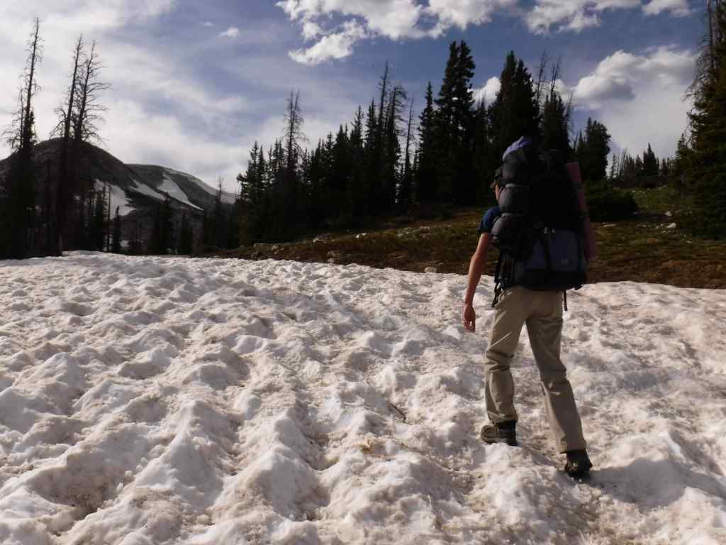
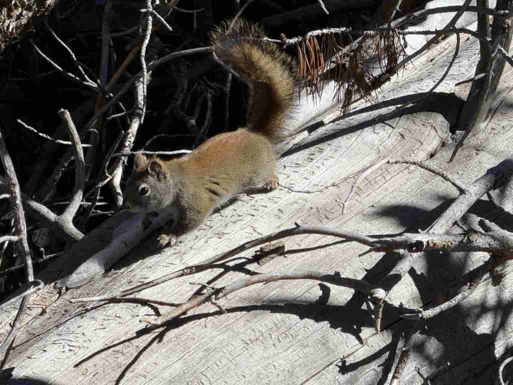
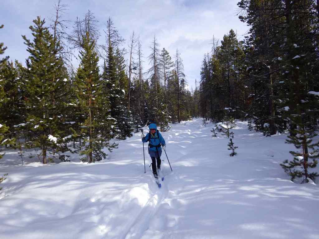
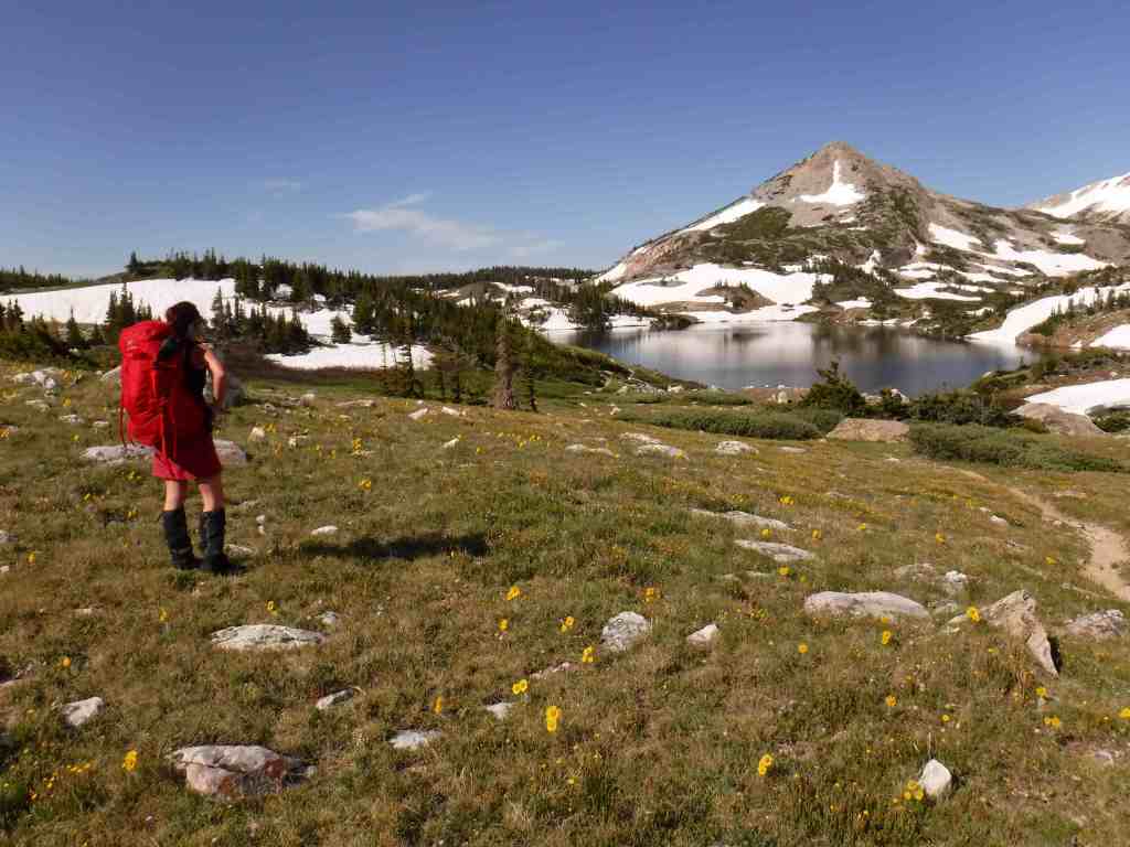
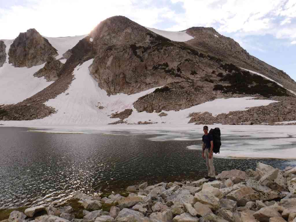
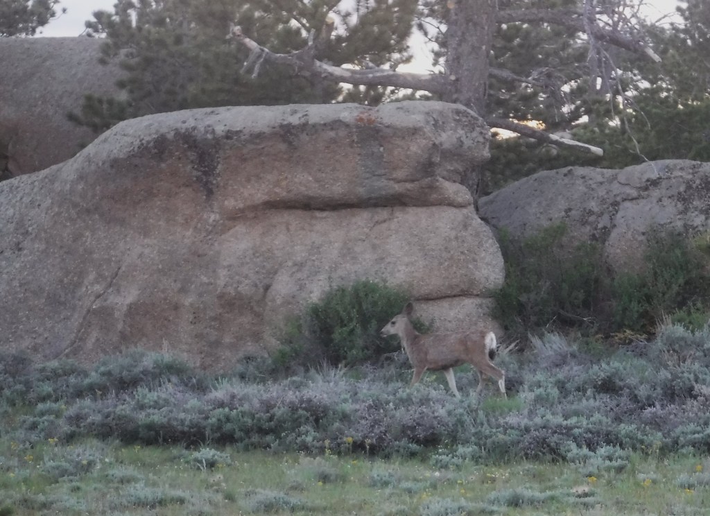
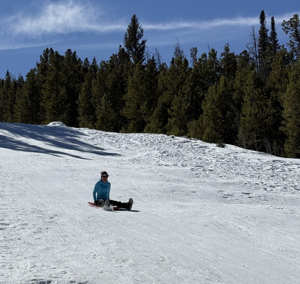
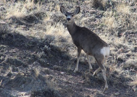
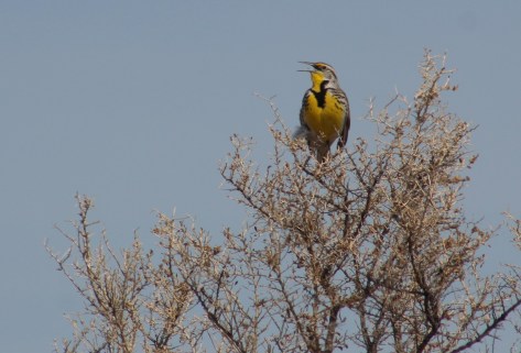
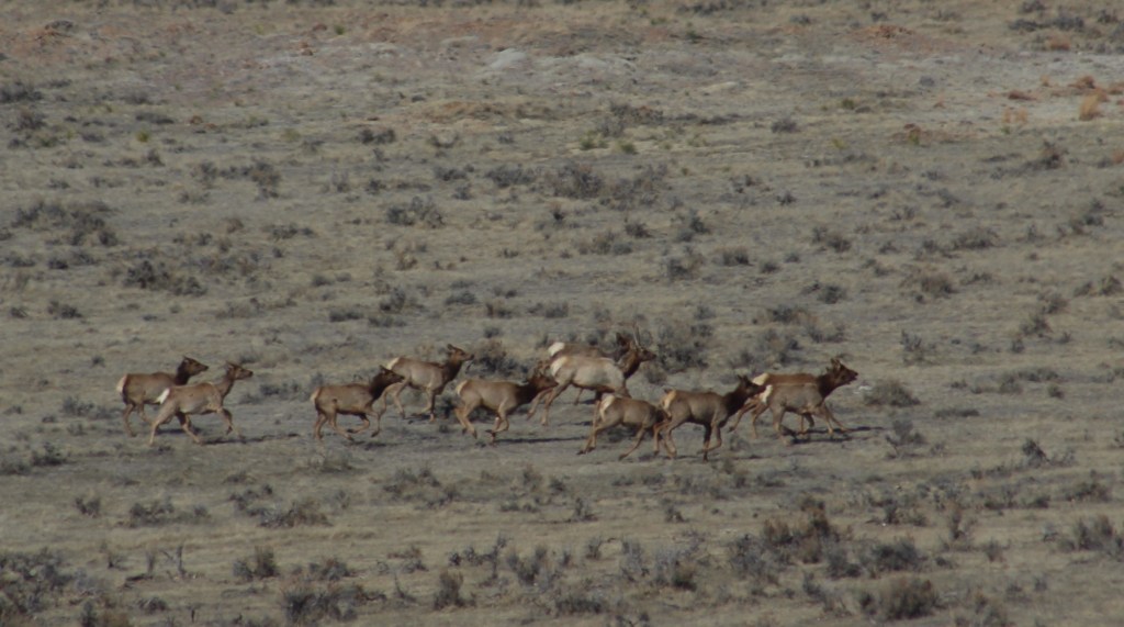
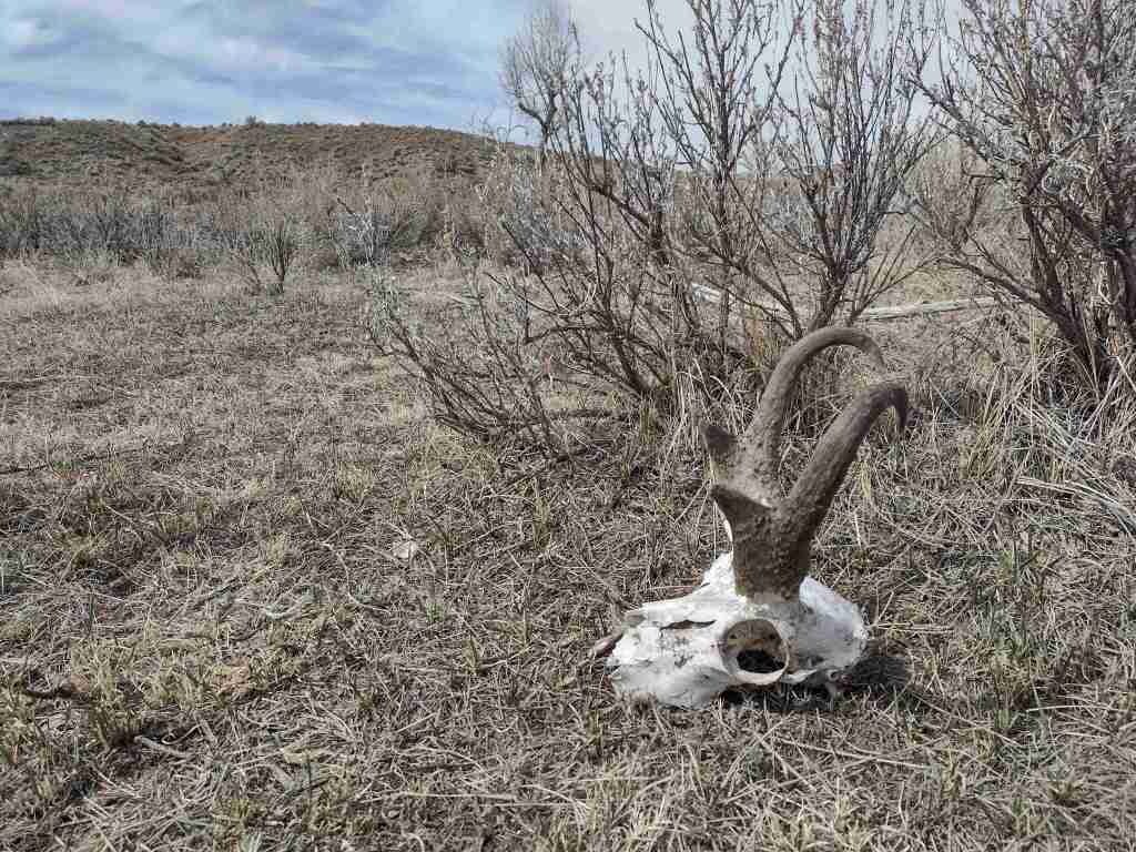
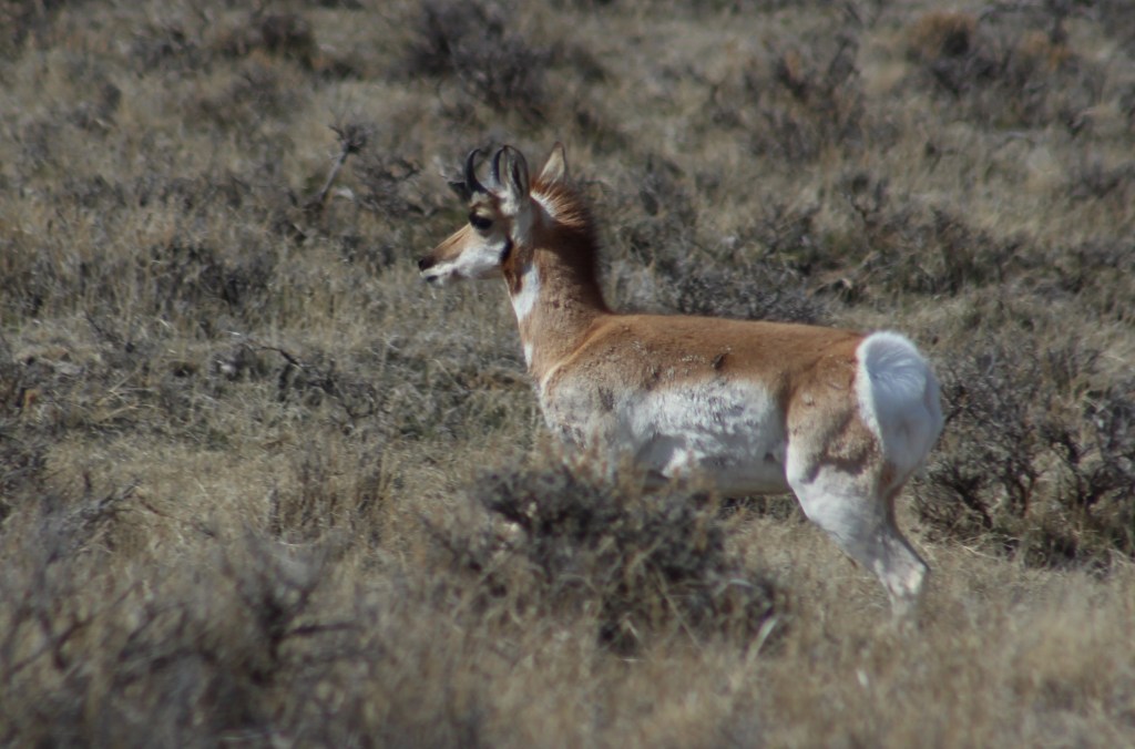
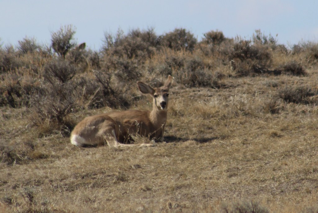
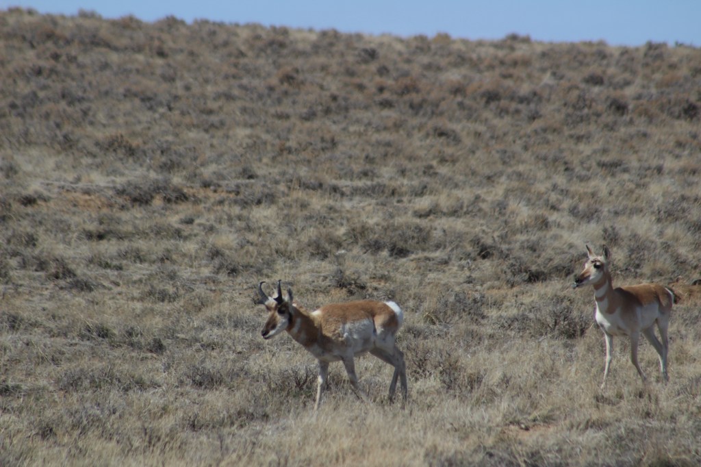
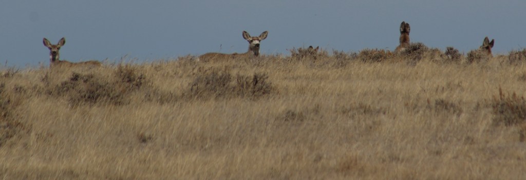
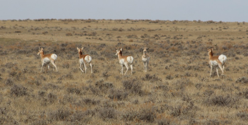
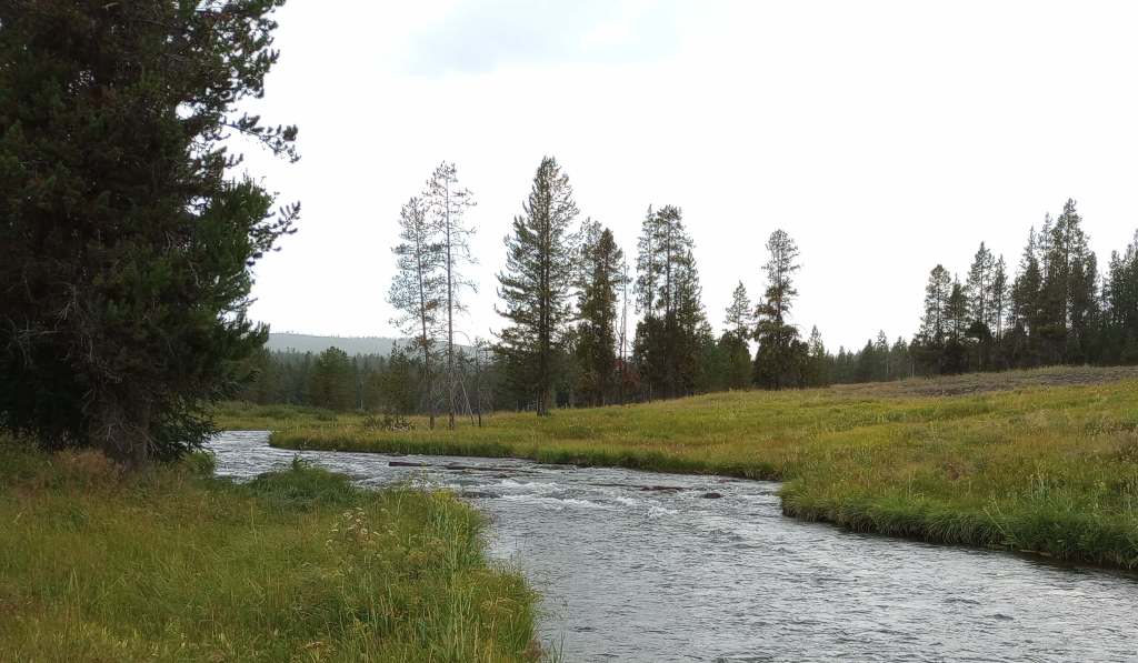
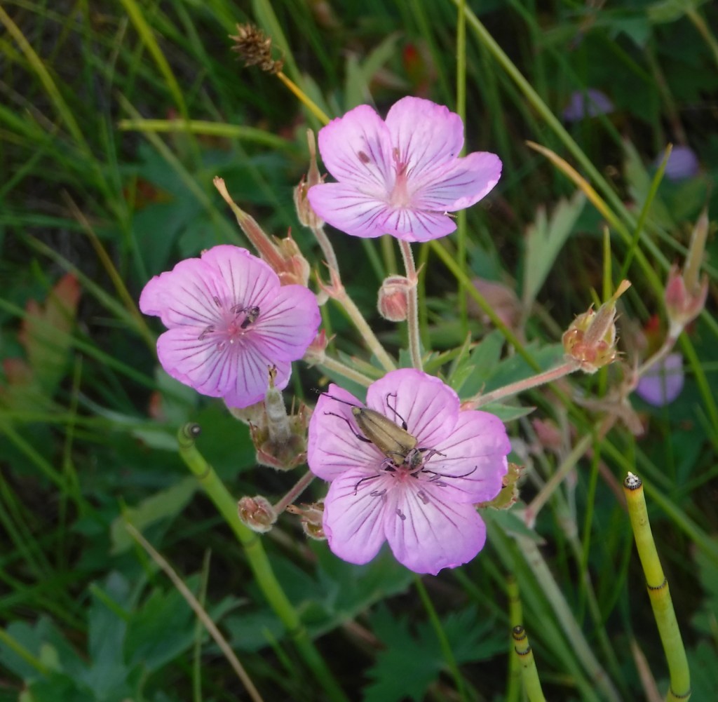
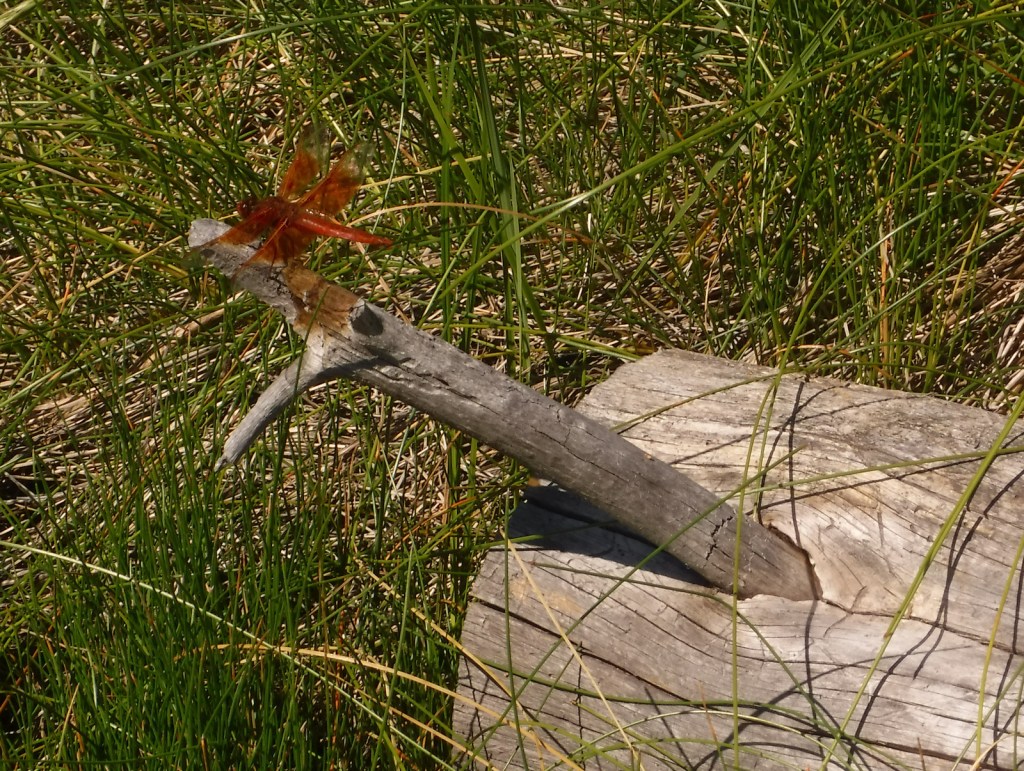
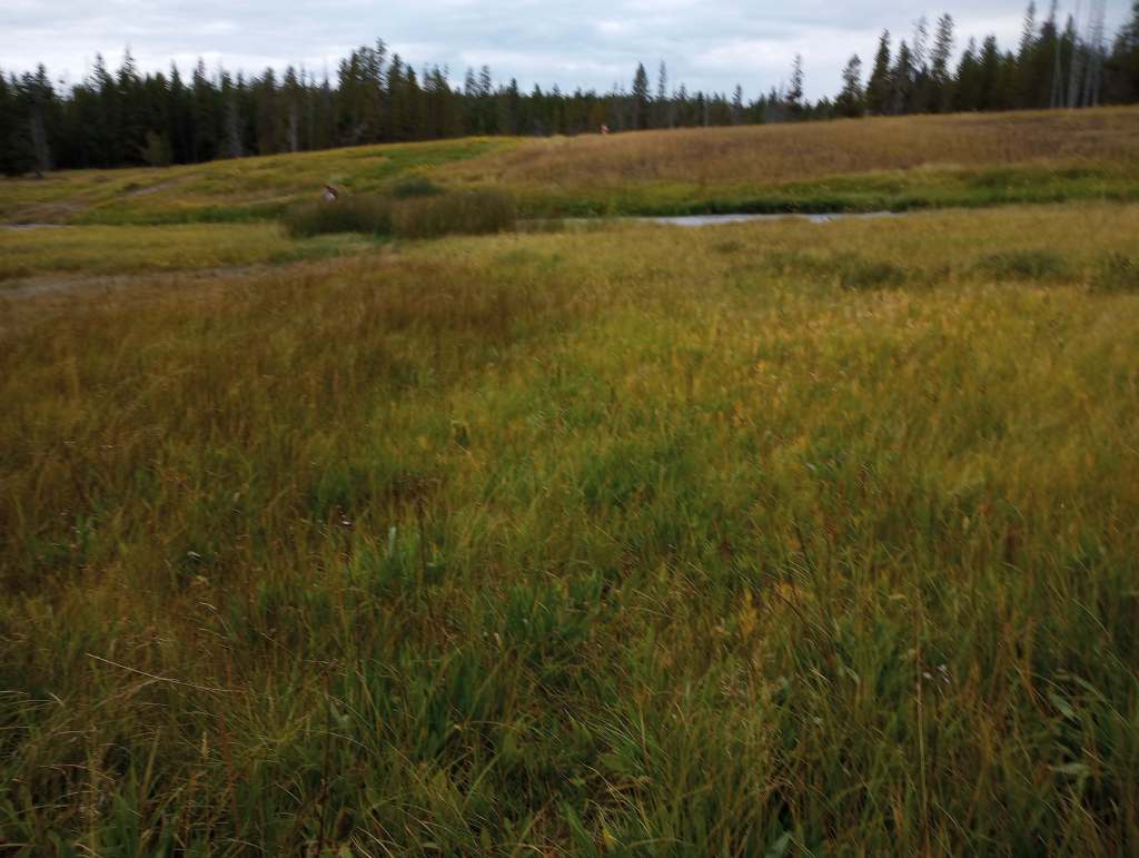
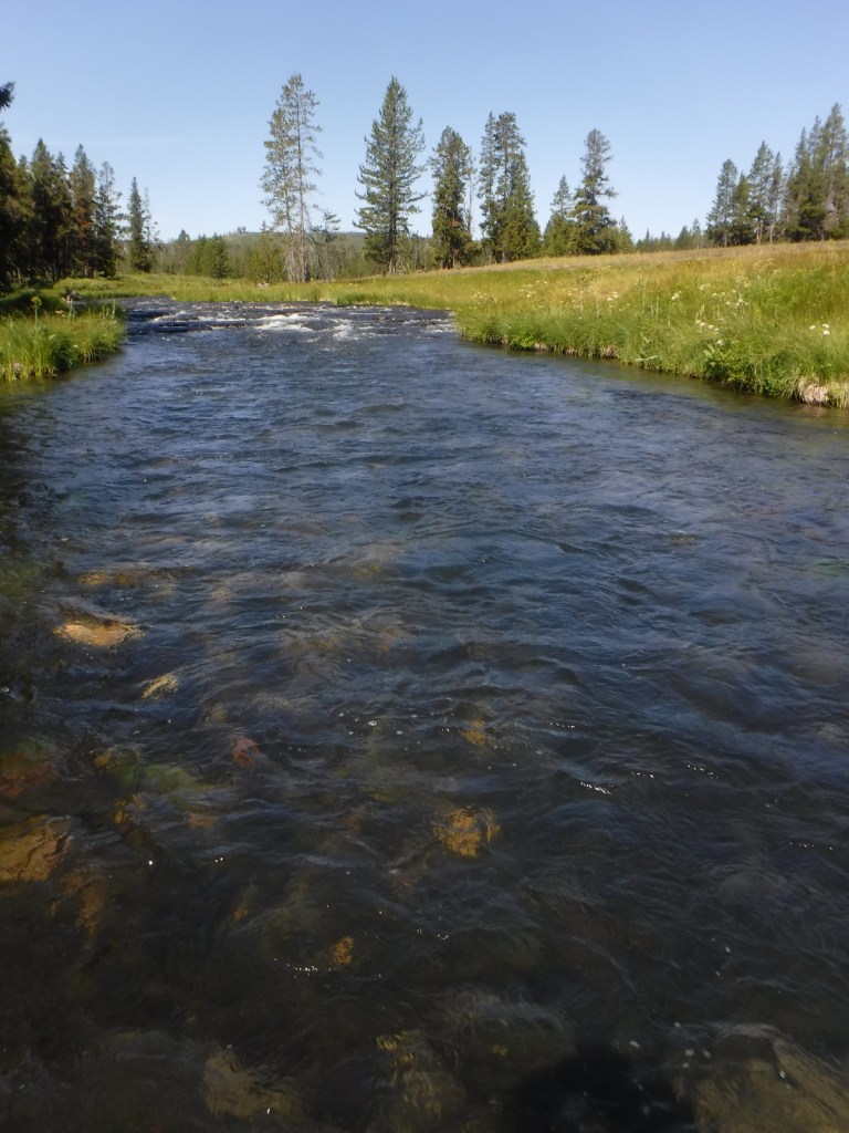
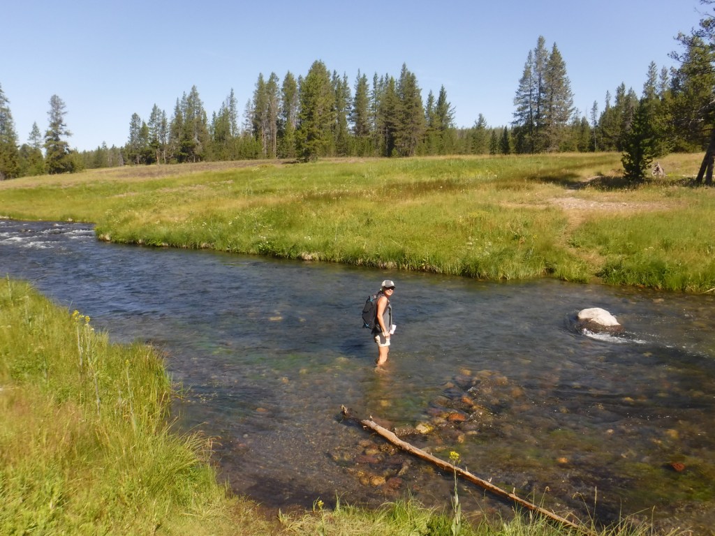
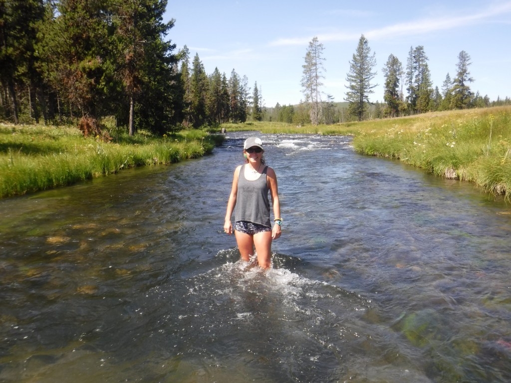
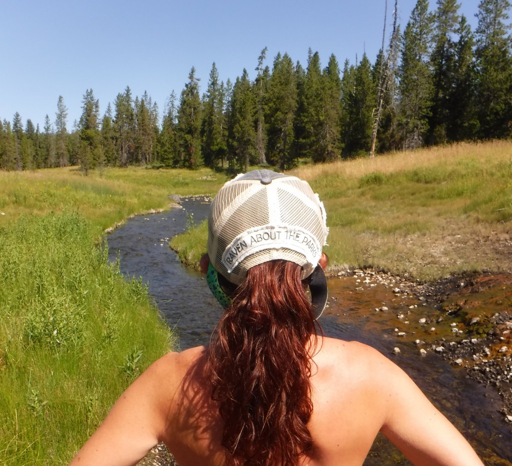
Huckleberry and Polecat Hot Springs are easily accessed by walking less than a mile down a closed dirt road not far from historic Flagg Ranch. Polecat Creek Loop Trail can be completed as a 2.5-mile loop that is narrow and overgrown by vegetation in places. Be on the lookout for grizzly bears, black bears, elk, and moose. Trout fishing in the Snake River is also a popular activity in John D. Rockefeller, Jr. Memorial Parkway. The parkway is plowed to Flagg Ranch in the winter, making it a shared trailhead for snowmobilers, snowshoers, and cross-country skiers.
Best Trail
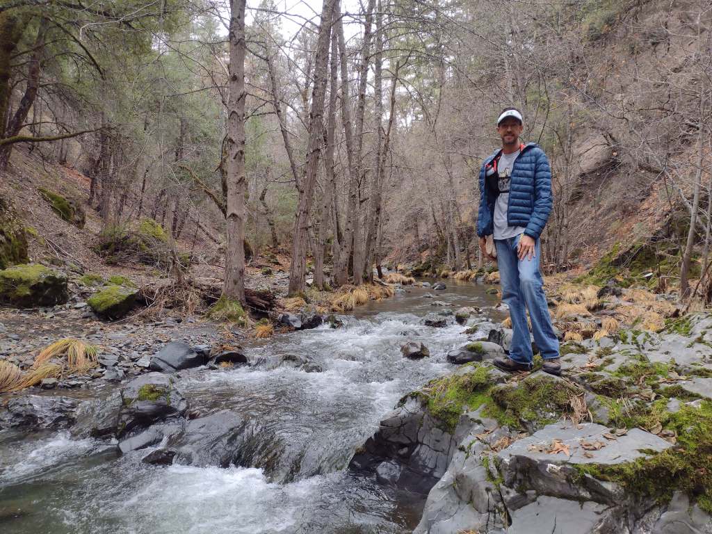
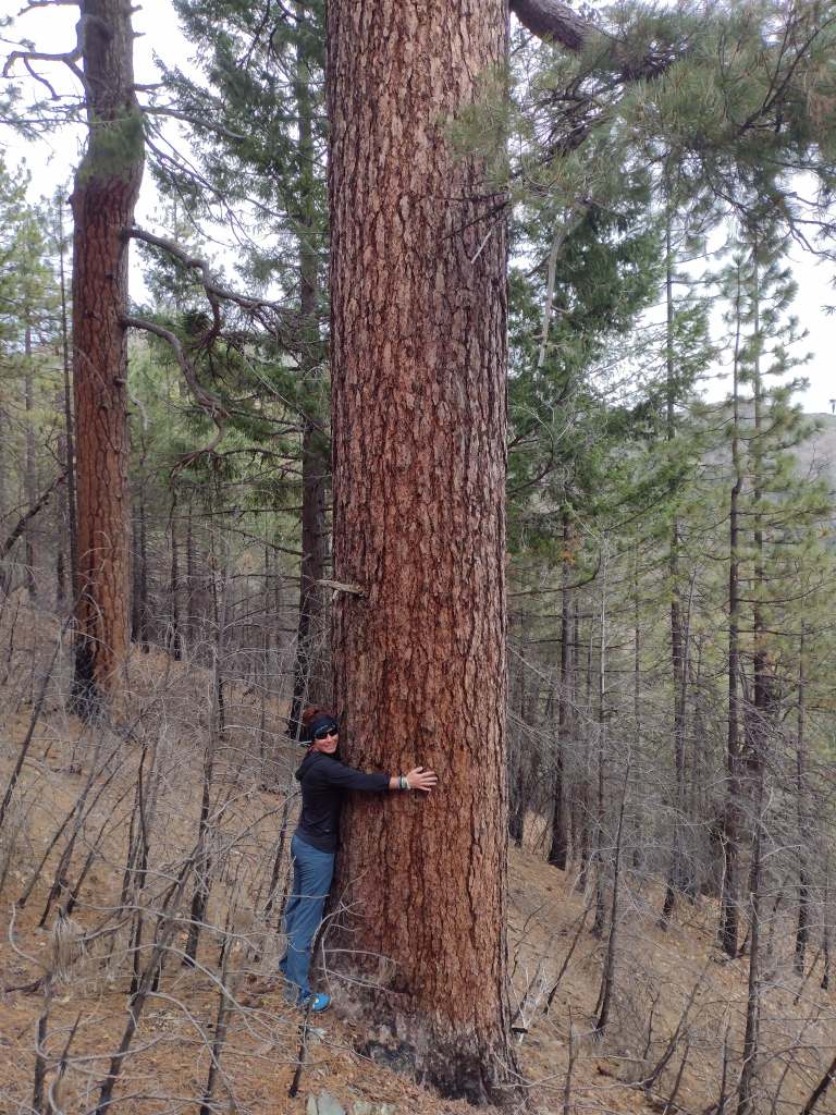
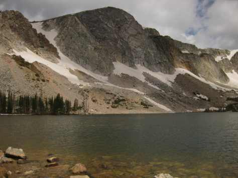
Flagg Canyon Trail is a five-mile out-and-back hike along the Snake River with 340 feet of cumulative elevation gain after it crosses the busy parkway east of Flagg Ranch.
Photographic Opportunity
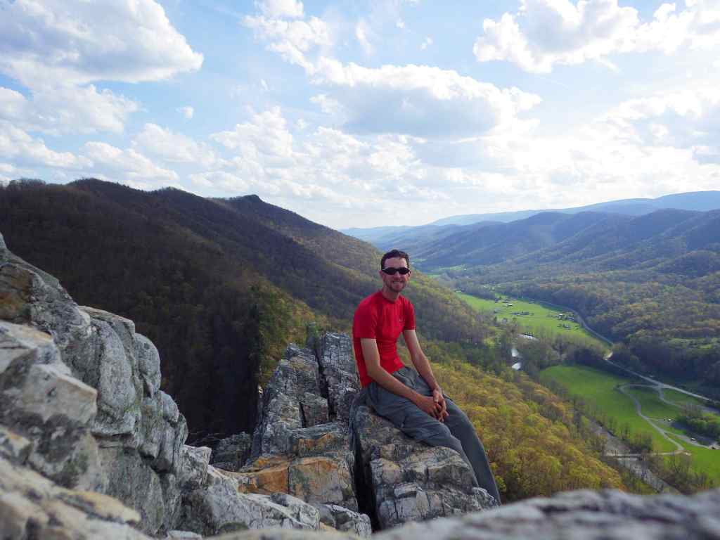
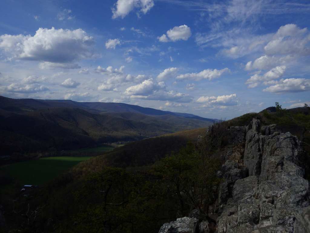
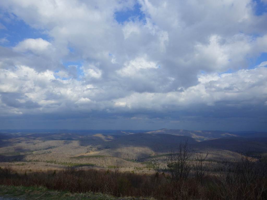
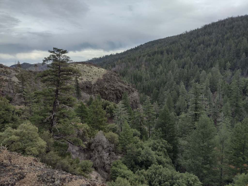
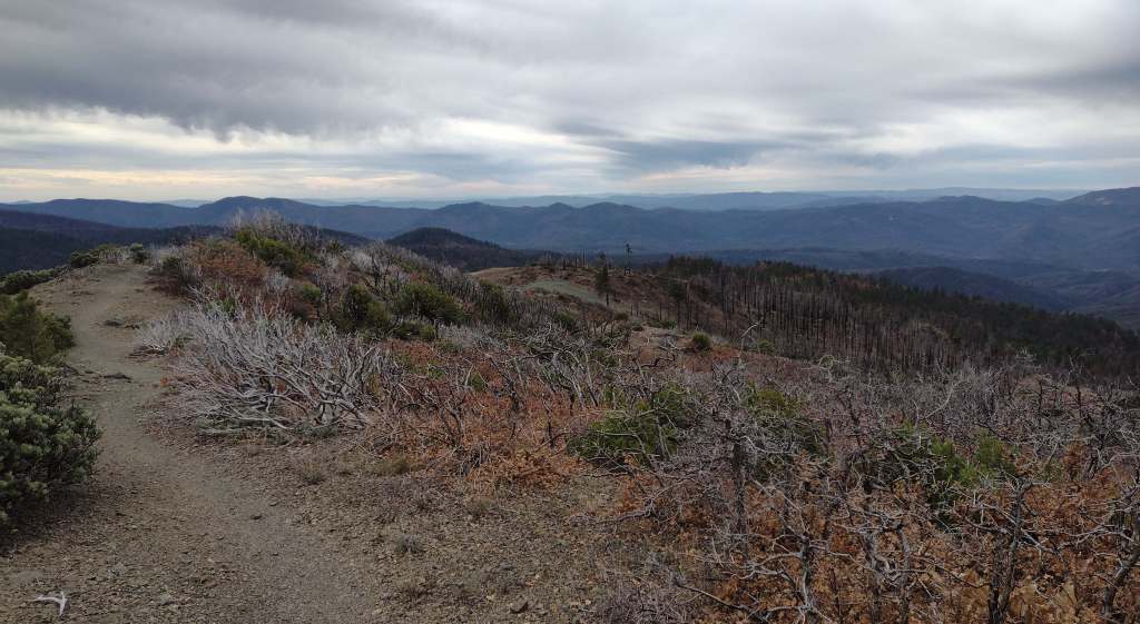
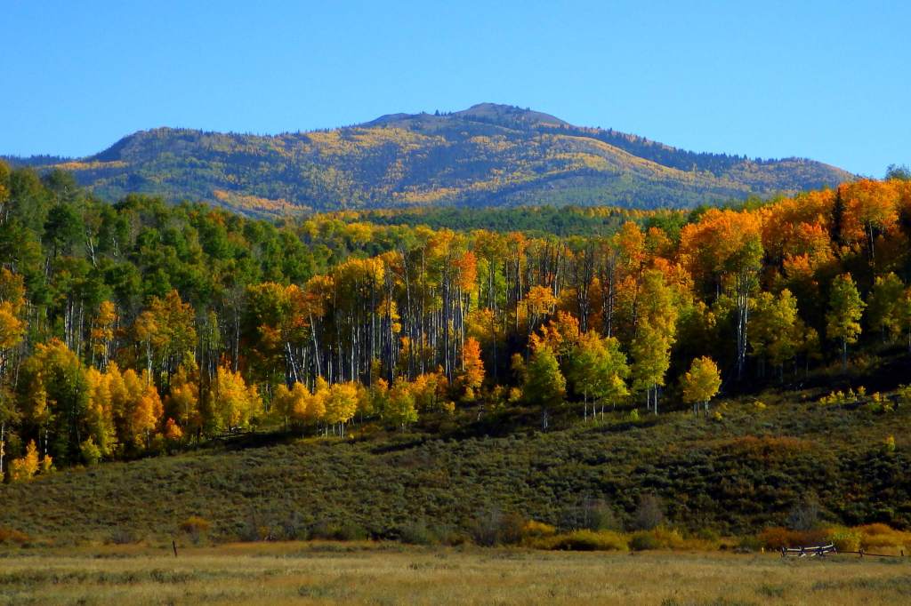
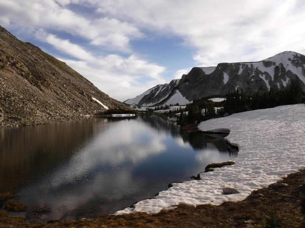
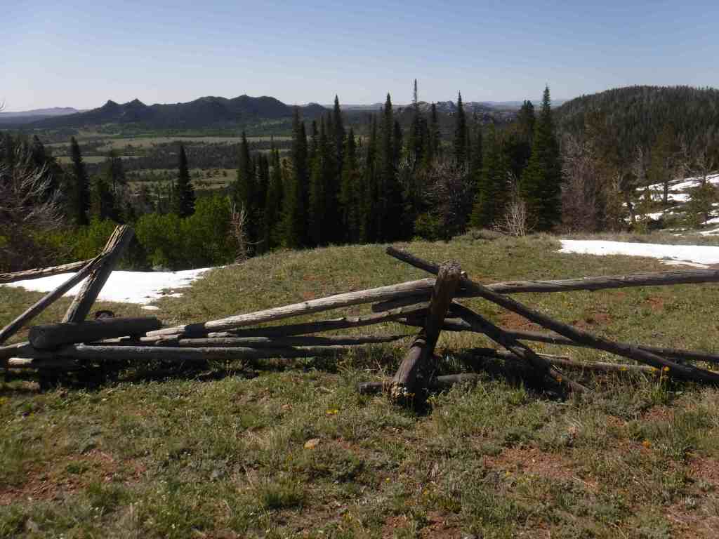
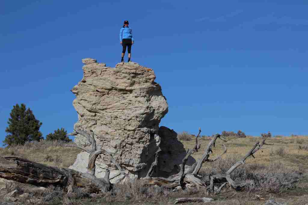
Driving unpaved and potholed Grassy Lake Road provides views to the south of the Teton Range.
Peak Season
Summer
Hours
https://www.nps.gov/grte/planyourvisit/hours.htm
Fees
Grand Teton or Yellowstone National Park entrance fees apply (or America the Beautiful pass)
Road Conditions
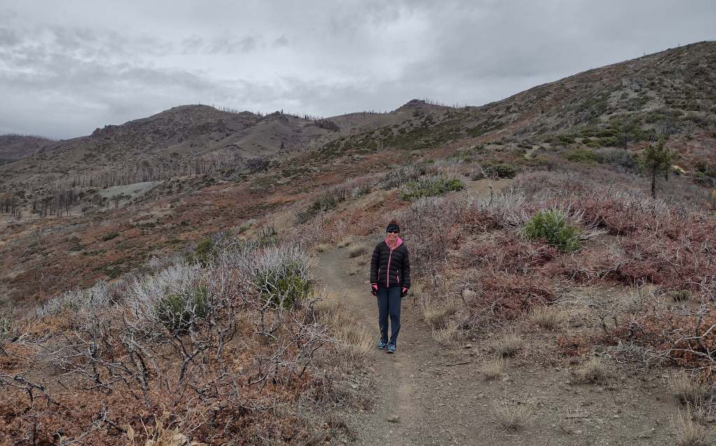
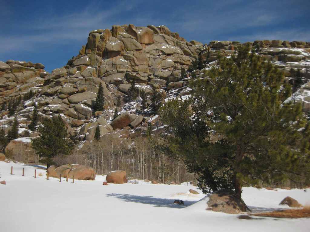
The parkway is paved and closes for the winter at Flagg Ranch when the south entrance to Yellowstone National Park shuts down. Closed annually for grizzly bear migration until June 1, Grassy Lake Road heads 49 miles west to Ashton, Idaho (the easternmost 36 miles are a potholed dirt track for high-clearance vehicles that enters Targhee National Forest, which is popular for dispersed camping).
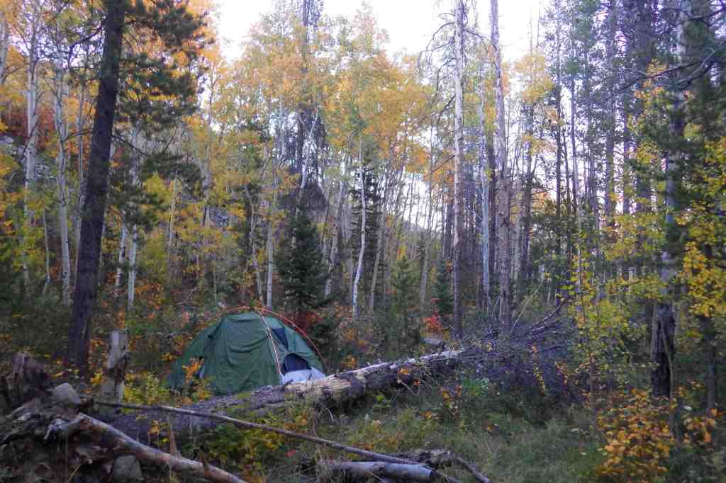
Camping
There is a lodge at Flagg Ranch, plus Headwaters Campground takes reservations and offers 34 tent sites, 97 full-hookup RV sites, and 40 Camper Cabins (open June 7 to October 4, 2026). Along rough Grassy Lake Road there are eight free camp areas with 14 first-come, first-served campsites equipped with vault toilets and bear boxes. There are also campgrounds in Teton National Forest and primitive dispersed campsites near Grassy Lake once the road enters Targhee National Forest.
Related Sites
Marsh-Billings-Rockefeller National Historical Park (Vermont)
Fossil Butte National Monument (Wyoming)
Gallatin National Forest (Montana)
Nearest National Park

Explore More – What is the more common name for a polecat, namesake for Polecat Hot Springs?