Malheur National Forest
Oregon
Managed by U.S. Forest Service, Pacific Northwest Region
1,541,723 (1,465,287 federal/ 76,436 other)
Website: https://www.fs.usda.gov/r06/malheur
Overview
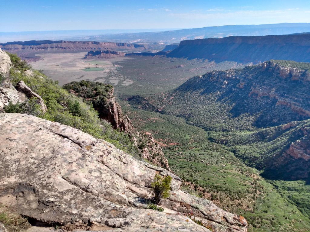
In central Oregon, Malheur National Forest encompasses the Strawberry Range and Aldrich Mountains that run into the Blue Mountains. Much of its area is high desert, with grasslands, sagebrush, and juniper the predominant vegetation. Malheur National Forest contains the “Humongous Fungus,” a honey fungus (Armillaria solidipes) that spans 2,200 acres and is considered the largest known organism by area in the world. It is located mostly underground, high on a ridgeline immediately west of Clear Creek (44.4731°N 118.4816°W).
Know someone who loves the National Forests? Gift them our travel guidebook Out in the Woods so they can learn more about this and the 154 other National Forests.

Highlights
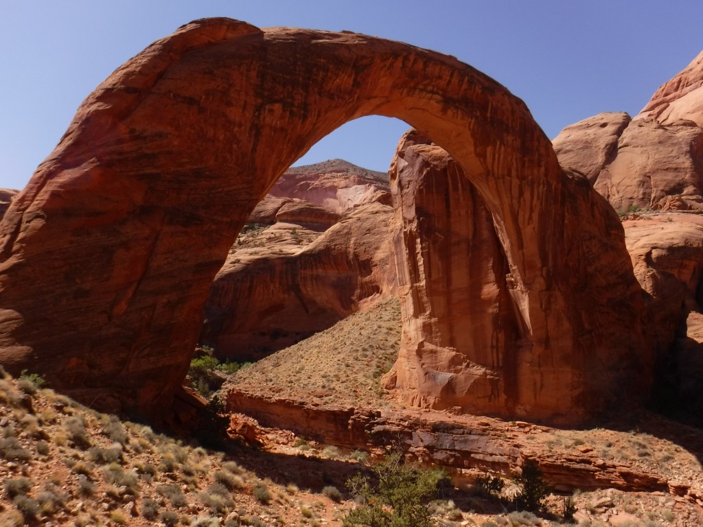
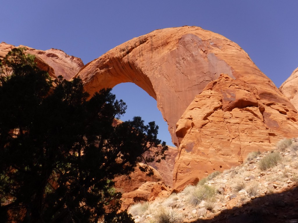
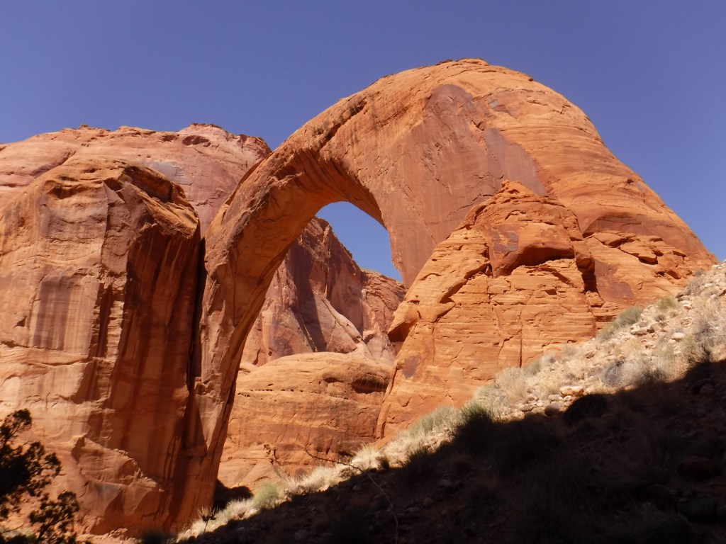
Journey Through Time Scenic Byway, Cedar Grove Botanical Area, Yellowjacket Reservoir, Indian Rock-Vinegar Hill Scenic Area, Swick Old Growth Interpretive Site, Rosebud Creek, Arch Rock, Magone Lake, Tamarack Creek Trail, McClellan Mountain Trail
Must-Do Activity
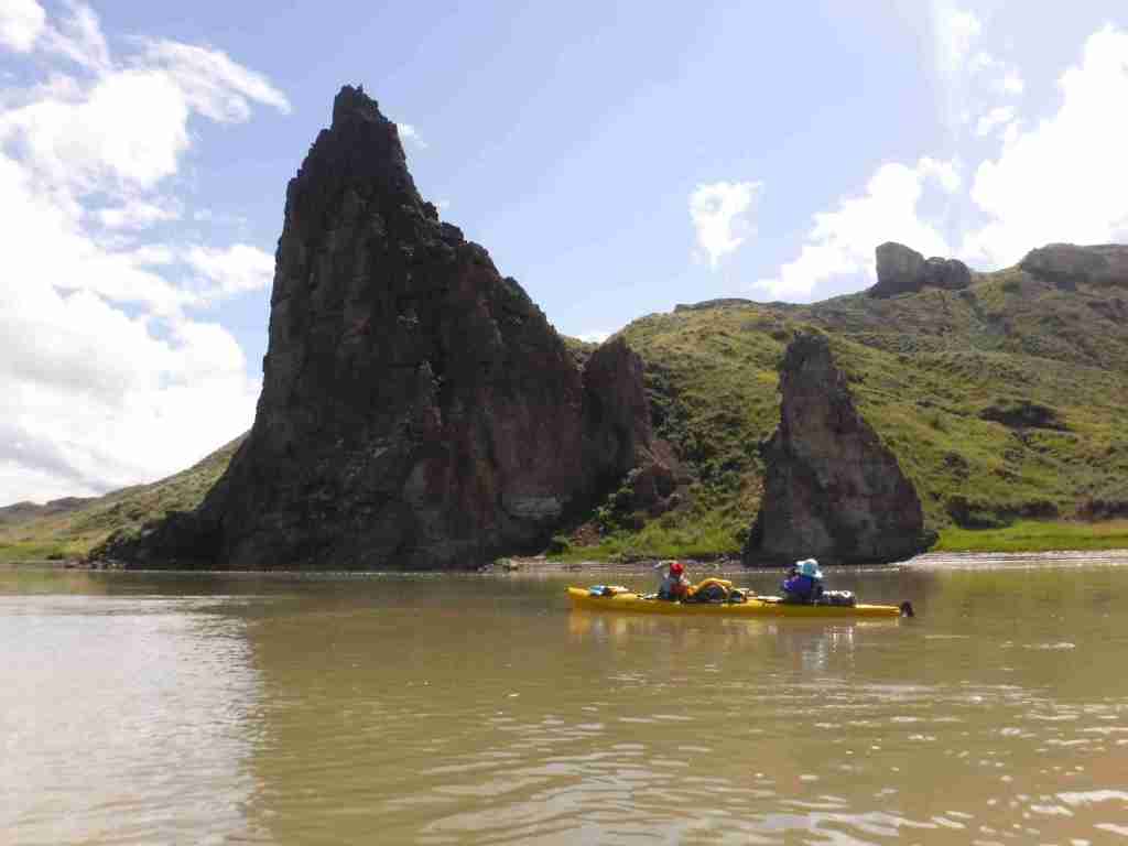
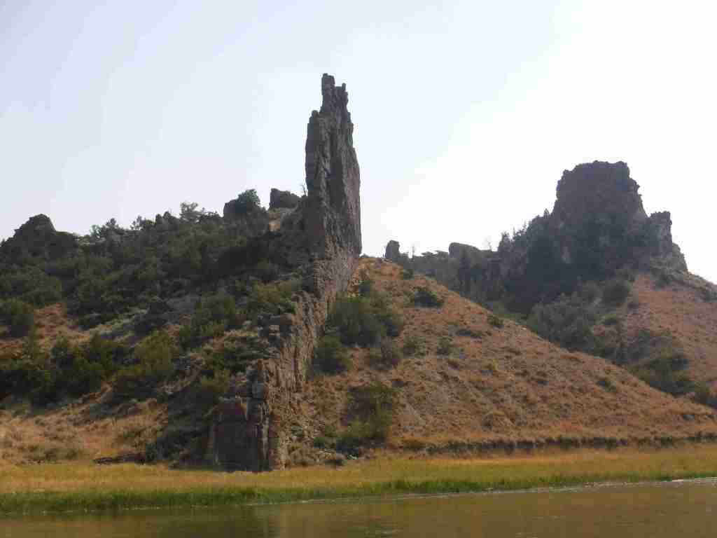
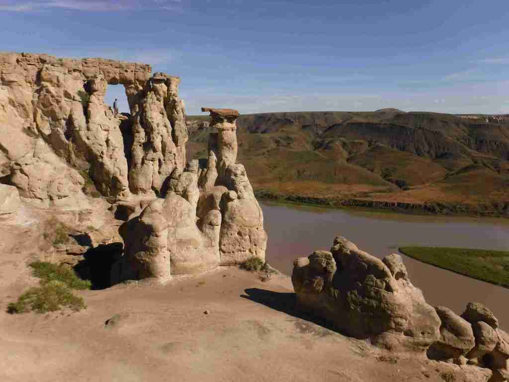
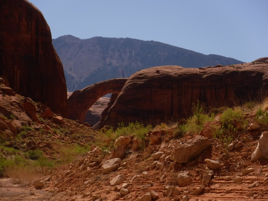
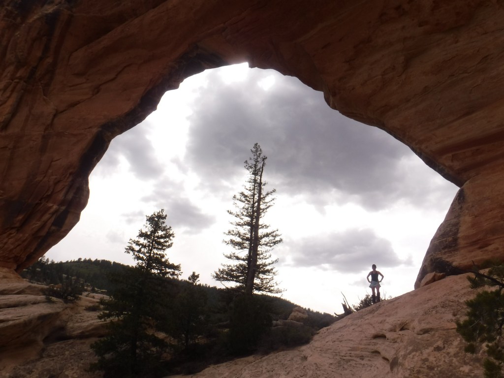
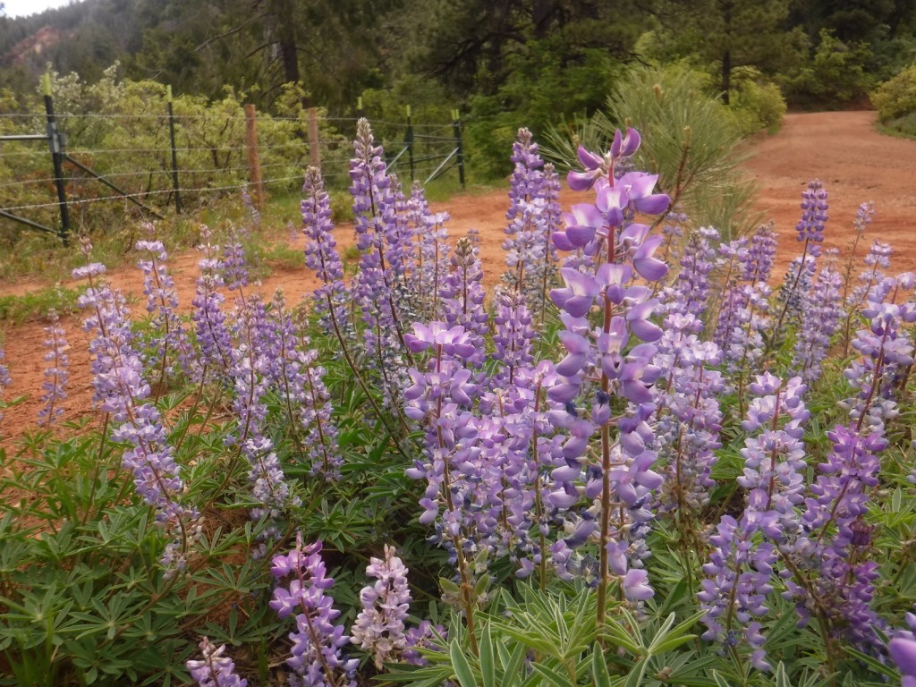
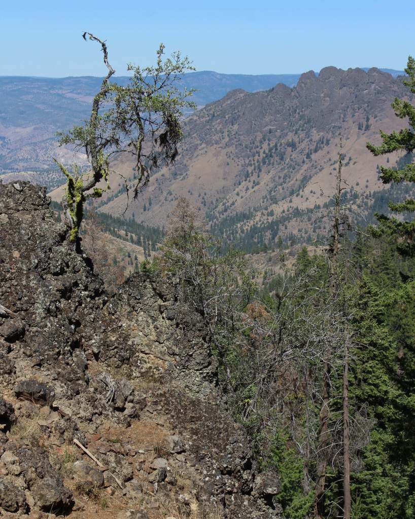
The northeast corner of the National Forest includes the 4,000-acre Indian Rock-Vinegar Hill Scenic Area with its beautiful alpine meadows that bloom high in the Greenhorn Mountains. For geology enthusiasts, Arch Rock is an easy hike to a 15-foot opening in soft ashflow tuff, Tex Creek has a natural bridge, and fossilized shells are found around Rosebud Creek.
Best Trail
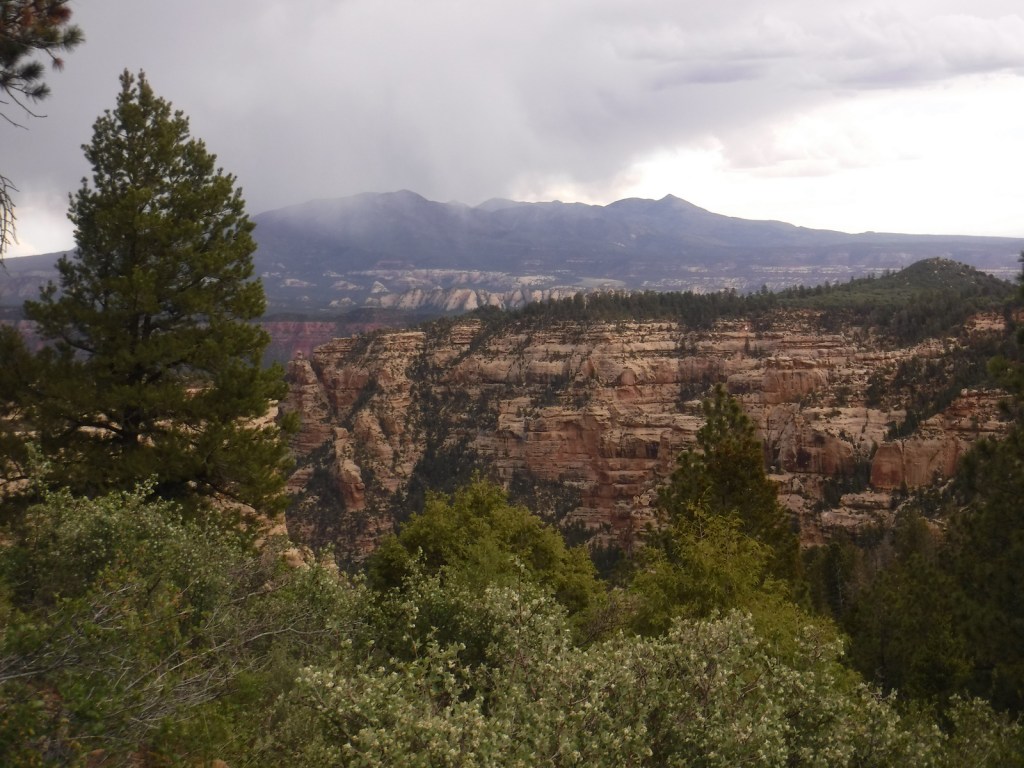
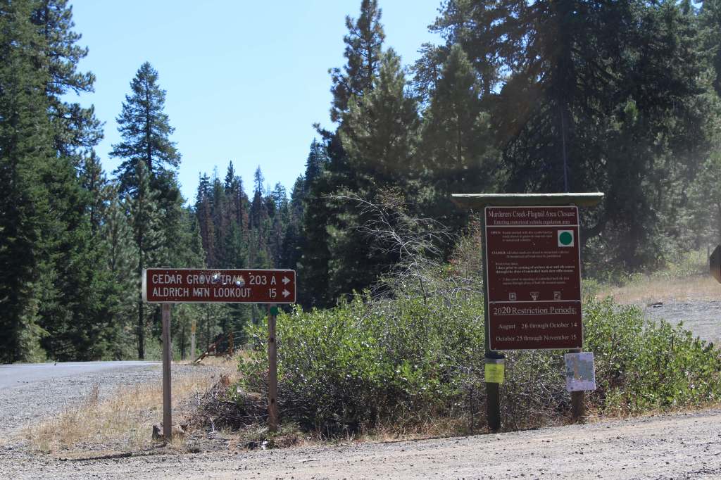
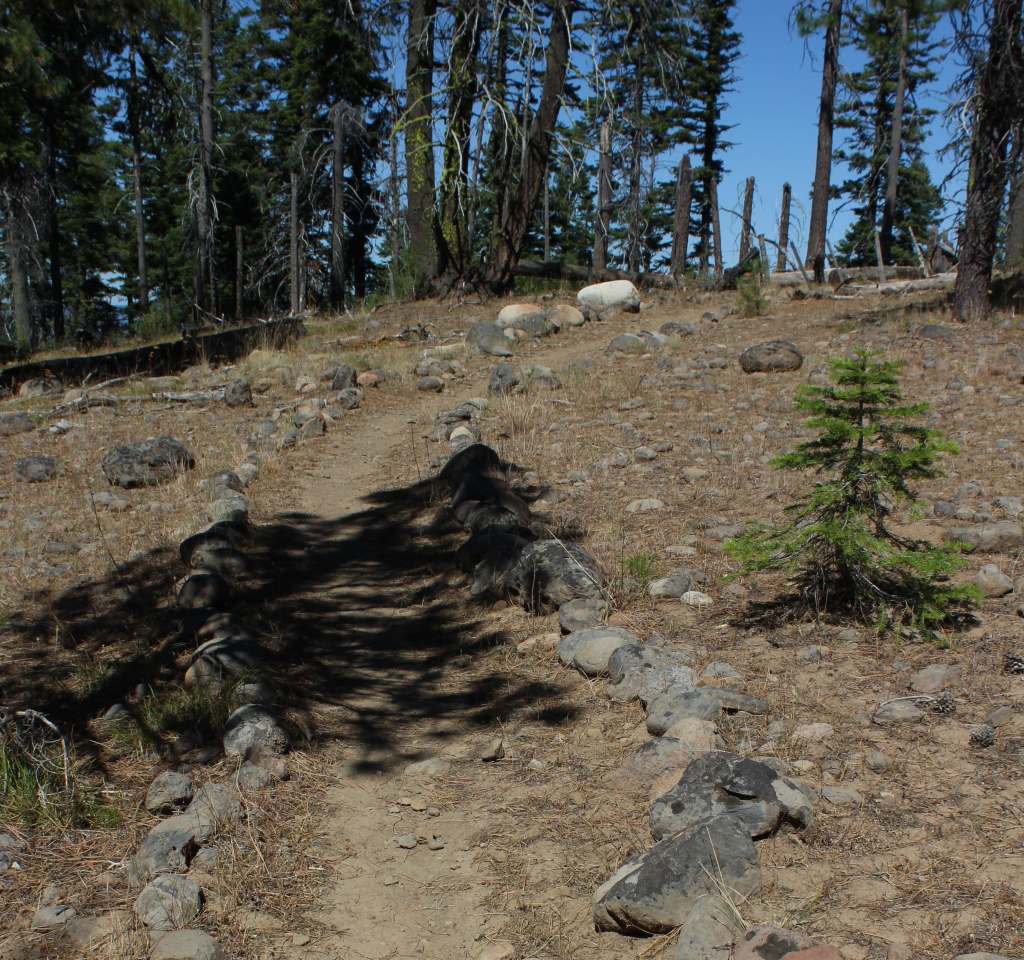
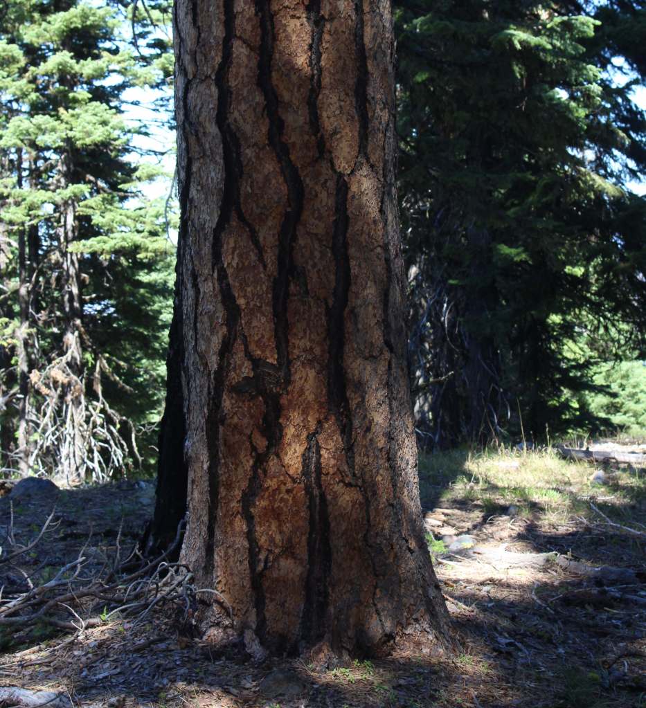
In the Aldrich Mountains, Cedar Grove Botanical Area preserves the only stand of yellow-cedars found east of the Cascade Range. Some of these trees are more than 300 years old, hanging on for life along Buck Cabin Creek where a fire recently burned more than half of the 60-acre stand. Access is by a National Recreation Trail, which drops precipitously into the grove, making for a strenuous hike out. The trail is lined with plant identification placards and was pocked with deer hoofprints when we visited. The trailhead is well-marked, located 5.5 miles down a dirt road after climbing ten miles on paved Forest Road 21 south of Highway 26. Check conditions before departing, as some roads may be closed within the Rail Ridge Fire area.
Watchable Wildlife
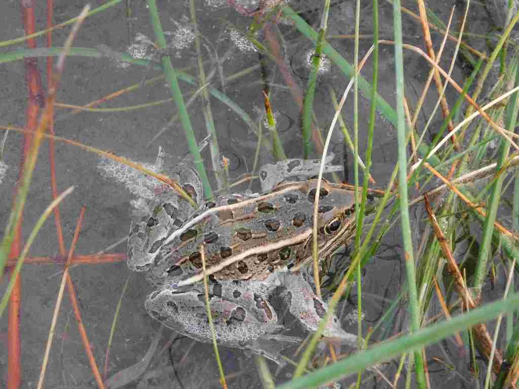
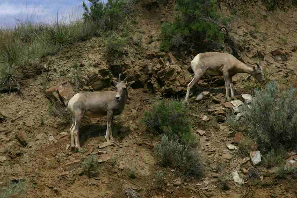
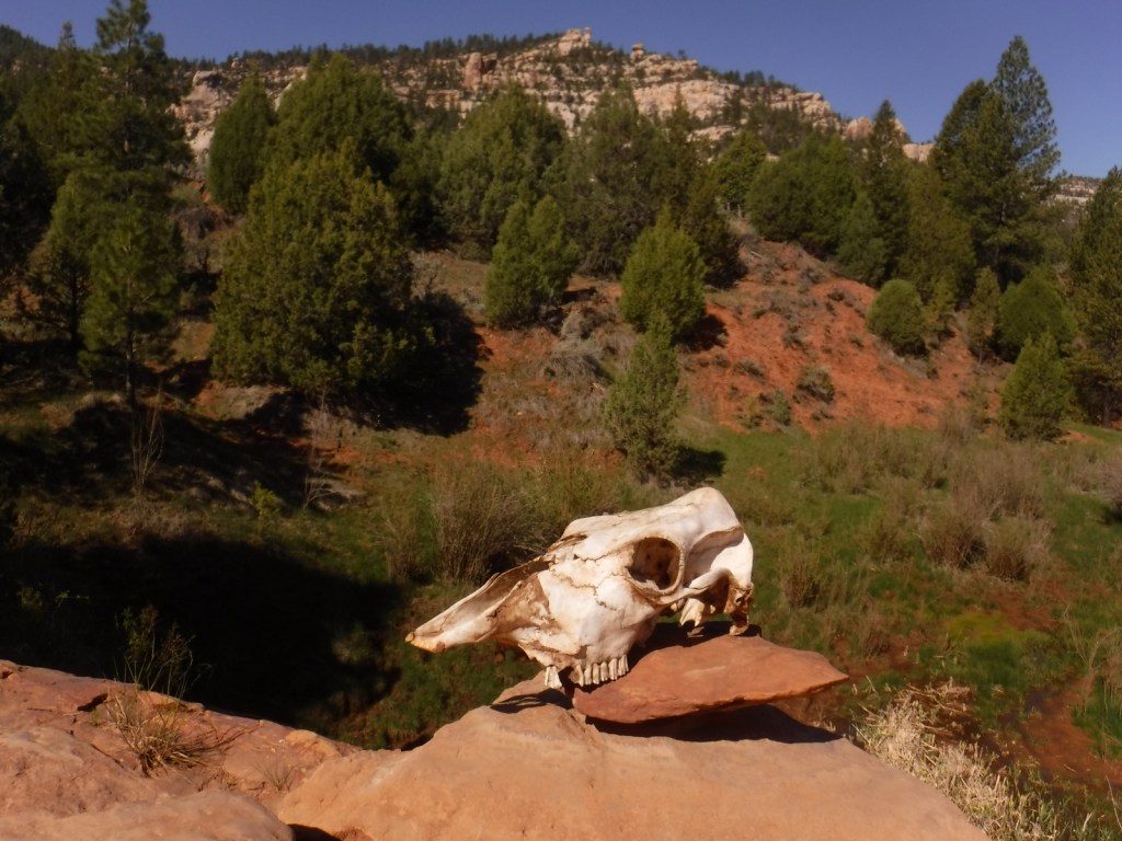
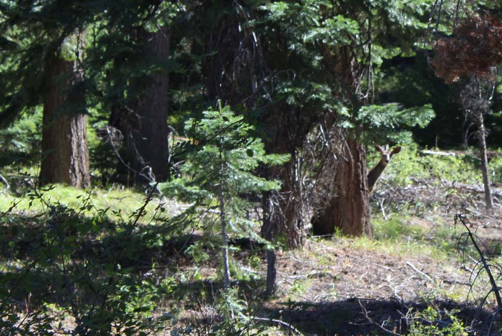
Elevations in Malheur National Forest range from 4,000 feet up to the top of 9,038-foot Strawberry Mountain. Elk, pronghorn, and mule deer are large ungulates found here. Carnivorous mammals include black bears, coyotes, mountain lions, and bobcats that roam the high desert environment. Large birds frequently seen are bald eagles, Canada geese, mallards, and whistling swans. Streams and lakes found throughout the National Forest support a variety of gamefish, including trout. To the south, Malheur National Wildlife Refuge encompasses 185,000 acres of marshes, meadows, and man-made ponds that provide habitat crucial for bird nesting and migration.
Photographic Opportunity
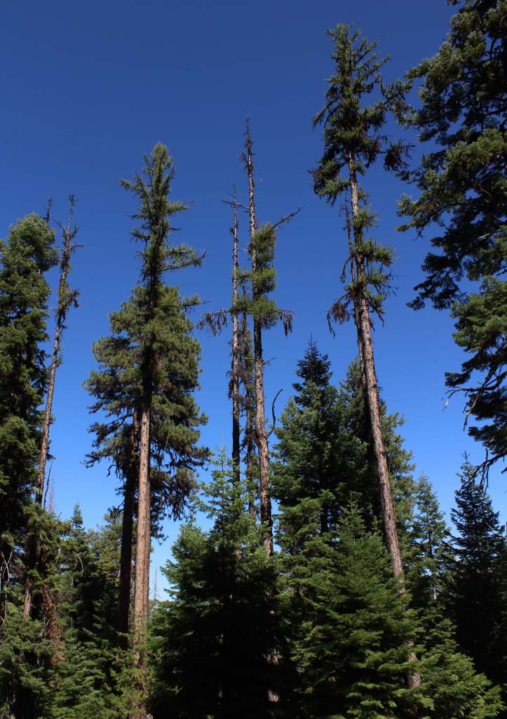
I did my M.S. research project on yellow-cedar (Callitropsis nootkatensis), so I had to visit Cedar Grove Botanical Area. The trees are a popular ornamental species best known for their drooping branches and shallow root systems that allow them to survive in extremely wet soils. Found from sea level up to 7,000 feet, they regularly live more than 1,000 years, growing slowly with chemicals compounds that prevent wood rot.

Peak Season
Summer
Fees
None
Road Conditions
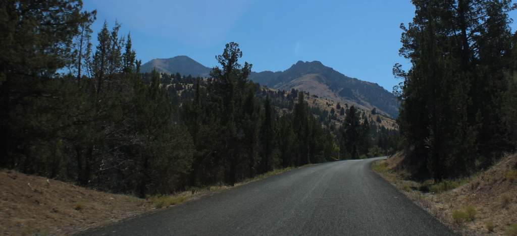
Highway 395 runs north-south through the National Forest, while Highway 26 runs east-west. The dirt roads we drove to access Cedar Grove Botanical Area were in good condition, although dry and dusty at the end of the summer.
Camping
There are numerous campgrounds in Malheur National Forest; none take reservations and some have fees that apply from May through October. Some campgrounds are free, like Cane Crossing, Crescent, and Elk Creek, and dispersed camping is also allowed.
Wilderness Areas
Monument Rock Wilderness (also in Whitman National Forest)
Strawberry Mountain Wilderness
Related Sites
John Day Fossil Beds National Monument (Oregon)
Newberry National Volcanic Monument (Oregon)
Fremont National Forest (Oregon)
Nearest National Park


ponderosa pine, Douglas-fir, grand fir, white fir, yellow-cedar, western juniper
curlleaf mountain mahogany, sagebrush
Explore More – The Malheur River is named for the French word for “misfortune;” why was it given that name?

Know someone who loves the National Forests? Gift them our travel guidebook Out in the Woods so they can learn more about this and the 154 other National Forests.