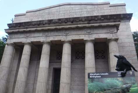
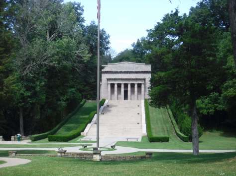
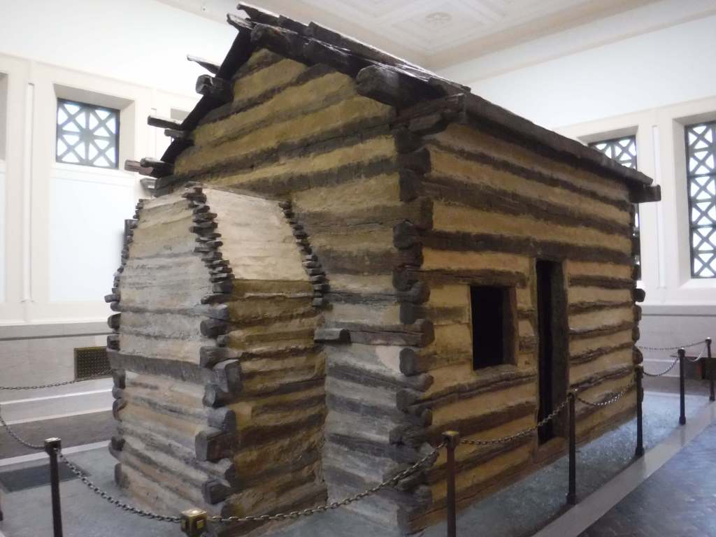
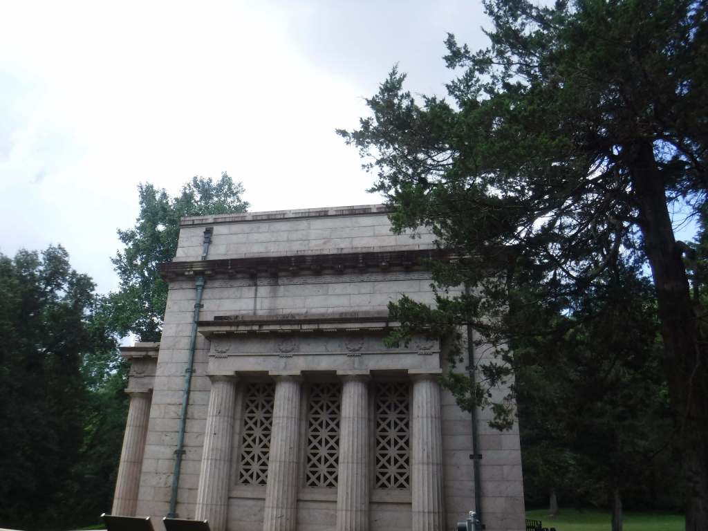
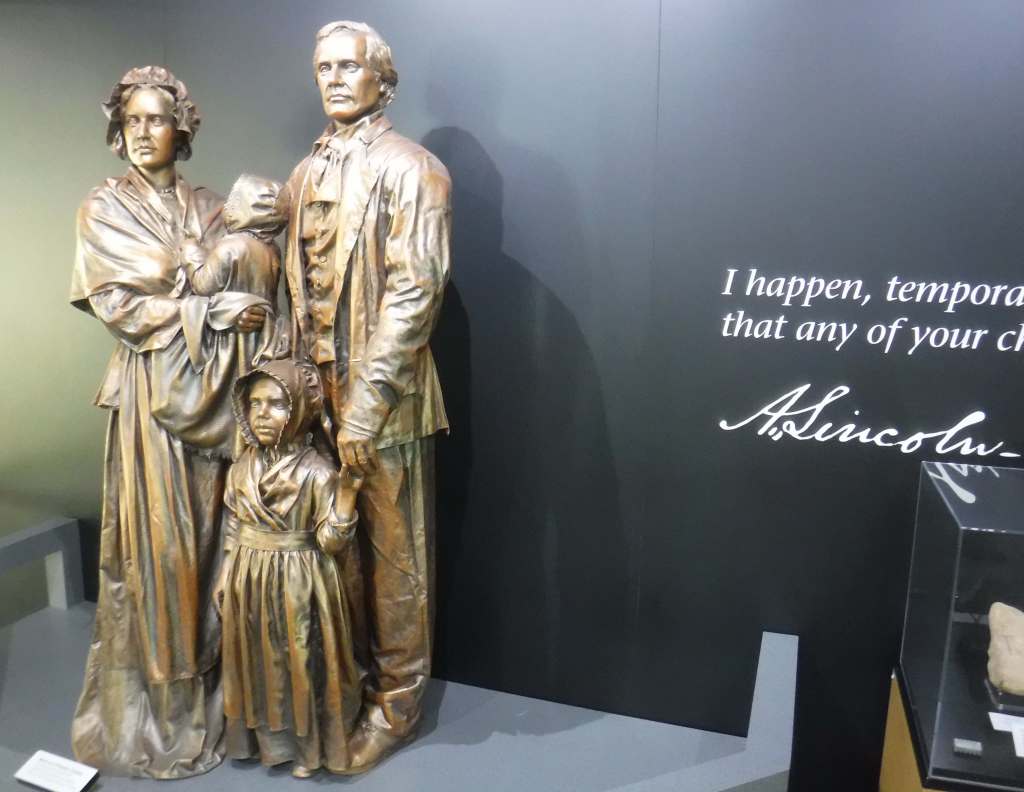
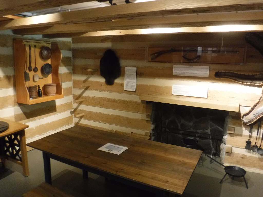
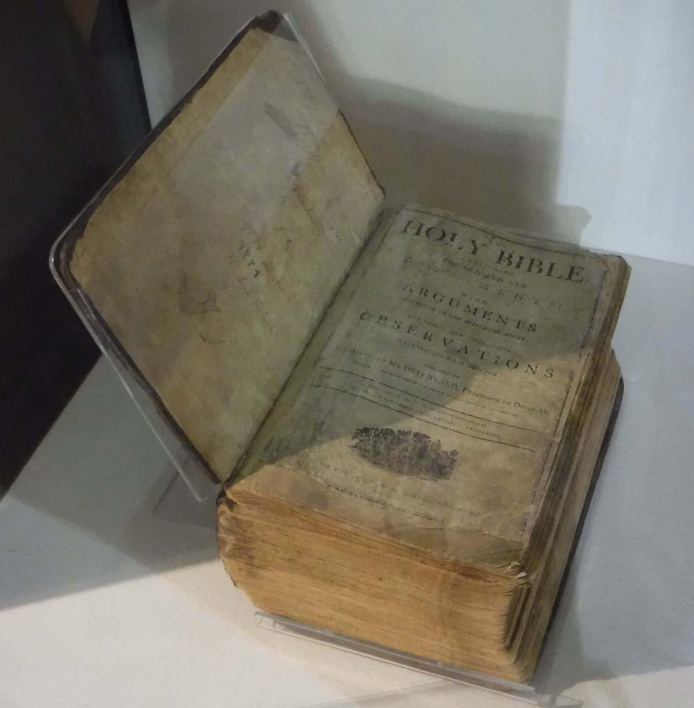
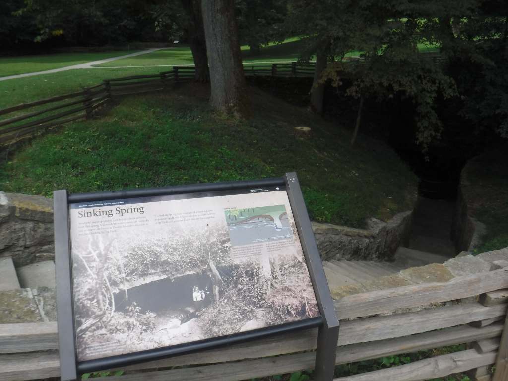
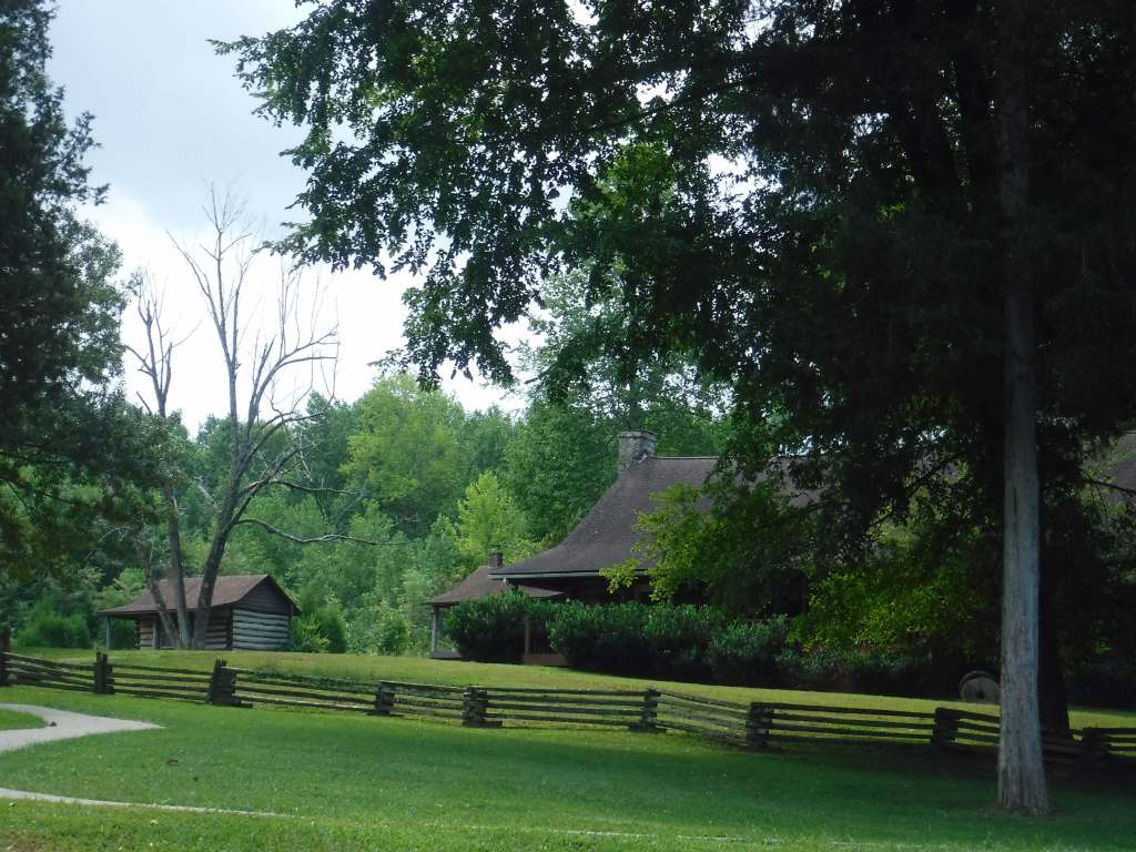
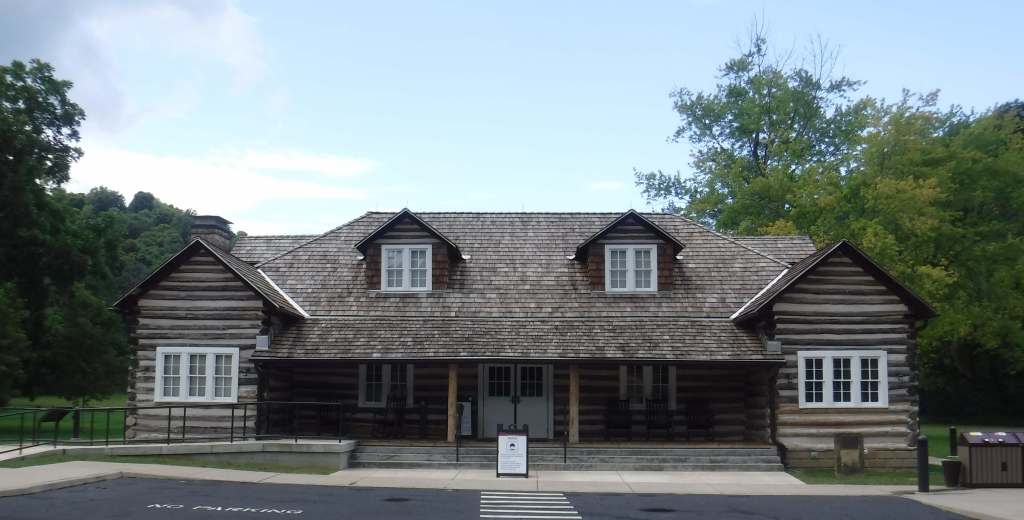
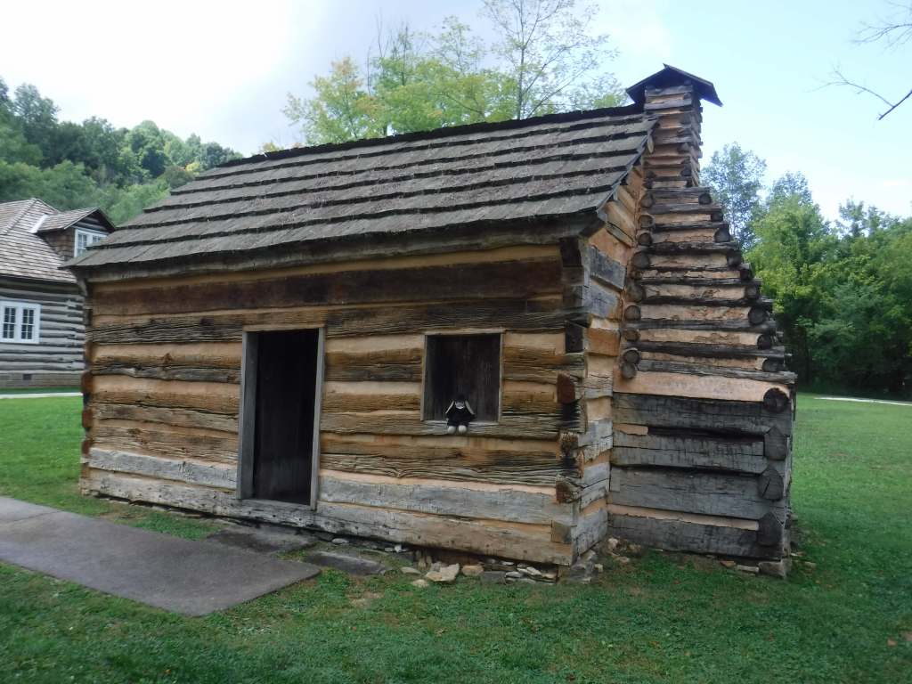
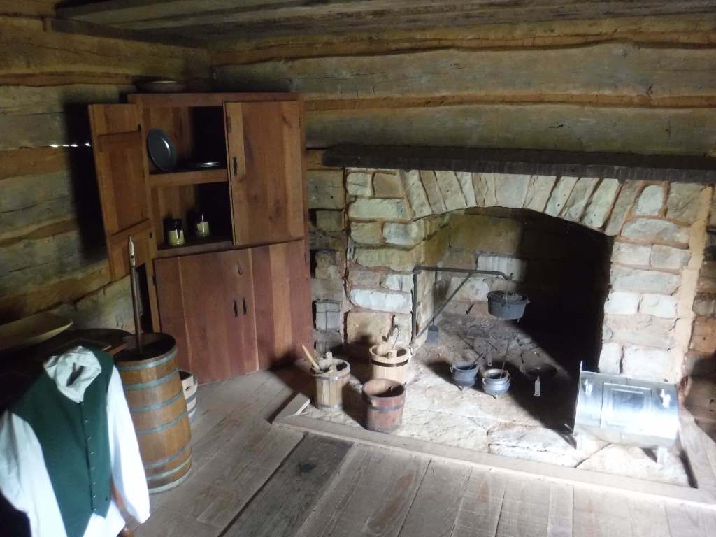
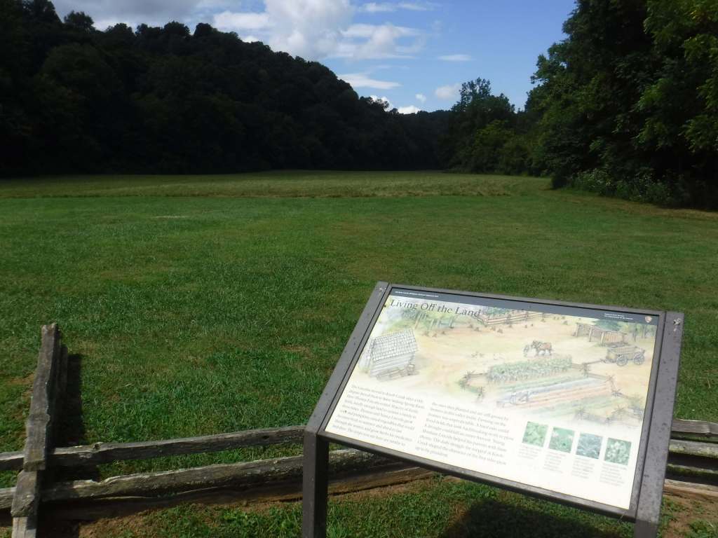
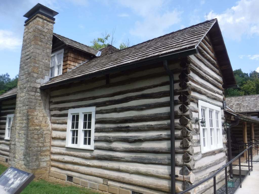
In December 1808, Thomas and Nancy Lincoln moved with their infant daughter to a 300-acre farm near Sinking Spring, where soon their son Abraham would be born on February 12. Two years later they moved to a more fertile farm ten miles northeast on Knob Creek. The family left for Indiana five years after that, where today you can find Lincoln Boyhood National Memorial. The original birthplace cabin was dismantled before 1865, but a cabin built nearby using some of the Lincoln logs was purchased three decades later for the purpose of exhibiting a traveling replica. When that replica cabin was placed inside the Memorial Building in 1911, it was too large for tourists to walk around it, so it was decreased in scale from 16-by-18 feet to 12-by-17 feet. In 2001, the National Park Service acquired the privately-owned boyhood home reconstruction at Knob Creek Farm, leading to the redesignation back to a National Historical Park.
Highlights
Memorial Building, film, Knob Creek Farm, Overlook Trail
Must-Do Activity
The future U.S. President came from humble beginnings, and here in Kentucky is where his education began. Even if you are familiar with his life story, it is a good idea to watch the film at the visitor center before climbing the stairs to the scale model of the birth cabin inside the Memorial Building. A ten-mile drive takes you to the reconstructed Lincoln house at Knob Creek Farm, where you can hike the Overlook Trail if you have time.
Best Trail
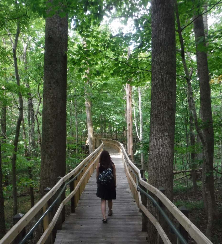
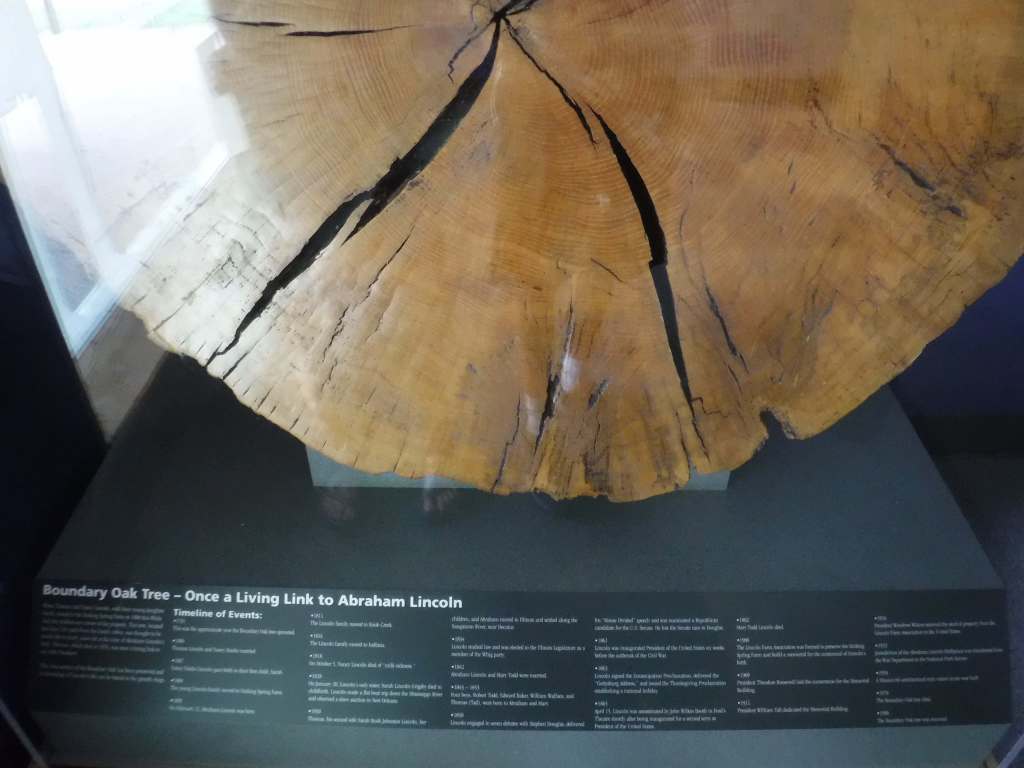
Boundary Oak Trail is 0.3 miles and starts near the Memorial Building, while 0.7-mile Big Sink Trail starts from the picnic area on the other side of Highway 31E. At Knob Creek Farm, Overlook Trail is 3.1 miles out-and-back with 348 feet of cumulative elevation gain.
Photographic Opportunity
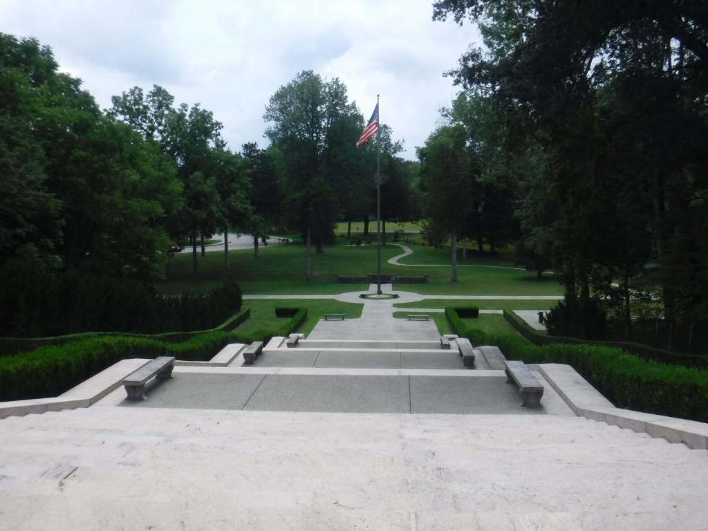
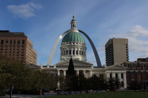
Exactly a century after Abraham’s birthday, President Theodore Roosevelt was on hand for the laying of the cornerstone for a Memorial Building where the Lincoln family cabin once stood.
Outside Hodgenville, all roads are paved to the Birthplace Unit of the park and the Boyhood Home Unit at Knob Creek, which is ten miles northeast on U.S. Highway 31E.
Camping
Located 25 miles northeast on Highway 31E, My Old Kentucky Home State Park has a 39-site campground with RV hookups, plus an 18-hole golf course.
Formerly Jefferson National Expansion Memorial, in 2018, this 193-acre site was named the country’s 60th (and smallest) National Park. It has a new museum and theater, and the claustrophobia-inducing tram cars still take visitors to the top of the arch for excellent views of St. Louis and across the Mississippi River into Illinois. The city is also home to 1,371-acre Forest Park (site of the 1904 World’s Fair), with many attractions like a zoo, art museum, ice skating rink, outdoor musical theater, history museum, and science center.
The antebellum plantation of White Haven is where the future General and President raised a family in the 1850s following his initial resignation from the U.S. Army. A thought-provoking museum is housed in the former horse stables, while access inside the house is only on a free ranger-guided tour. It is located next to Grant’s Farm that offers free Budweiser brewery tours and a chance to see the famous Clydesdale horses.
The celebrated author’s hometown of Hannibal on the Mississippi River is a pilgrimage site for a half-million visitors annually. The museum has eight buildings, including the house his father built in 1843. Across the street is the Becky Thatcher House, where Twain’s childhood sweetheart (Laura Hawkins) lived. Held every July, National Tom Sawyer Days features frog-jumping and fence-painting contests.
Named in honor of a U.S. Congressman, these 3,750 acres provide a variety of wetland habitats for migratory birds along the Mississippi River floodplain.
Day 3
Jefferson City
The capitol building is known for its stained glass, murals, carvings, and statuary, as well as being home to the Missouri State Museum. Nearby, Jefferson Landing State Historic Site preserves the Lohman Building and Union Hotel that were restored along the Missouri River.
Spread across nine separate units, this sprawling jurisdiction used to be two National Forests until 1976 when the more northerly Clark National Forest was administratively combined. Between Jefferson City and Columbia, Pine Ridge Recreation Area accesses Cedar Creek Trail, which has multiple trailheads and four loops totaling 36 miles.
Day 4
Kansas City
The city that crosses the western state border has more than 200 fountains, the most of anywhere outside Rome, Italy. Kansas City is best known for its barbecued meats slathered in thick, tangy sauce, a tradition dating back to 1908. The two oldest contenders for best barbecue in K.C. are Arthur Bryant’s Barbecue and Gates and Sons Bar-B-Q, but it is hard to find a bad restaurant due to the stiff competition.
The most photographed spot in the city might be the giant shuttlecock sculptures on the lawn of the free art museum (where there’s also a free mini-golf course). Near Union Station, the National World War I Museum at Liberty Memorial features a 217-foot-tall Art Deco tower with an Egyptian motif.
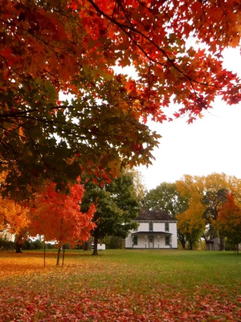
The visitor center in downtown Independence offers a film and a few artifacts, as well as first-come, first-served tickets for ranger-guided tours of the Truman Home. About a 30-minute drive from Independence, take a self-guided cell phone tour around the ten acres surrounding the 1894 Truman Farm Home, which once stood on a 600-acre farm that is now the suburb of Grandview.
If you make it to Independence, pay to visit this museum located where emigrants once departed to begin their long journeys on the Santa Fe, Oregon, and California National Historic Trails.
When Carver died in 1943, this site became the first National Park Service unit to honor an African-American. The scientist was born into slavery on this farm but went on to earn a master’s degree in botany from Iowa State University in 1896 and to work at Tuskegee Institute for 47 years where he popularized peanut, sweet potato, and soy agriculture. There is a museum with interactive exhibits and a self-guided one-mile loop trail with interpretive signs.
The original Bass Pro Shops in Springfield has almost 500,000 square-feet dedicated to outdoor recreation, including the Archery Hall of Fame and this impressive aquarium (fee).
Missouri stayed in the Union throughout the Civil War despite the $10-million in property damage caused by guerrilla fighters, making it the third most fought-over state. Start your visit by watching a short film, then peruse the excellent museum before taking the five-mile driving route that provides an overview of the battle at eight interpretive stops.
Day 6
Branson
The entertainment capital of the central U.S. has a main strip lit up like Las Vegas without the casinos. The main draw is the variety of live music and magic shows offered every day of the week in 37 theaters, but do not miss the historic downtown with the iconic Dick’s 5 & 10 Cent Store on Main Street. There are also mini-golf courses, a wax museum (topped by King Kong), an amusement park, a Ripley’s Believe It or Not! Odditorium, and a building shaped like the bow of the Titanic hitting a giant iceberg.
Spread throughout the Ozark Mountains, 1.5-million-acre Mark Twain National Forest is full of caves, sinkholes, springs, and streams. Greer Spring is the second largest in Missouri, with a daily flow of 222-million gallons as it drains 1.2 miles into the Eleven Point National Scenic River. Several long trails explore the National Forest’s seven designated Wilderness areas, including sections of the 350-mile Ozark Trail. Mark Twain National Forest also has three designated Scenic Byways: Blue Buck Knob, Sugar Camp, and Glade Top Trail.
Optional stop at the “Tri-Lakes”
The reservoirs of Table Rock, Taneycomo, and Bull Shoals offer opportunities for boating, fishing, and water sports. The U.S. Army Corps of Engineers runs a museum at 252-foot-tall Table Rock Dam on the White River.
The Jacks Fork and Current Rivers flow freely within Ozark National Scenic Riverways. The best way to explore the serpentine park boundaries is on the water, but roads access several swimming holes and the bright red Alley Mill. The dolomite and limestone karst underneath this park is riddled with caves and sinkholes, like Devils Well, Round Spring Cave (offering ranger-guided tours for a fee), and Jam Up Cave (only accessible from the Jacks Fork River).
After suffering catastrophic damage from a 2005 dam breach, this park has been redeveloped and still has the chutes and waterfalls that provided its name. Its campground is considered one of the nation’s best for RVs on public land.
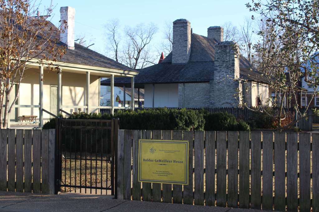
Established in 2020 to protect the French colonial-era houses of Missouri’s first permanent settlement where residents still go all out to celebrate Bastille Day. The oldest standing structure is the Bolduc House that dates back to 1792, while the Old Brick House from 1804 is now a restaurant.
This geologic wonderland features a natural bridge, caves, sinkholes, limestone bluffs, and a large natural spring, but may be best known for the burned-out ruins of a mansion.
The M-K-T (Missouri-Kansas-Texas) Railroad has been converted into the 240-mile-long Katy Trail, running across the state from north of St. Louis to Clinton (75 miles southeast of Kansas City). Camping along the trail is an option, but it passes through many towns with hotels.
Accessed from the same trailhead as the state’s high point, Mina Sauk Falls is a 132-foot cascade accessed via a three-mile out-and-back hike that gains 430 feet in elevation. Missouri’s tallest waterfall typically flows best during the spring season; otherwise, it is reduced to a trickle.
The park’s billion-year-old granite rocks are broken into vertical cracks and eroded into huge “elephants” like 680-ton Dumbo (27 feet tall and 35 feet long). The park even has a one-mile paved path designed specifically for the visually impaired with signs in Braille.
In northwest Missouri, winter is the time to visit to see nearly one-million snow geese, plus trumpeter swans, bald eagles, and a variety of shorebirds and waterfowl.
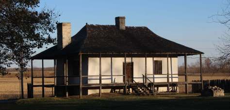
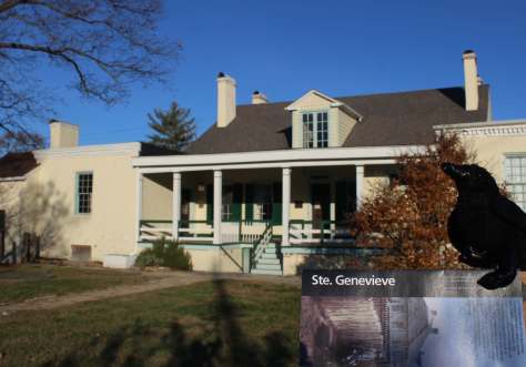
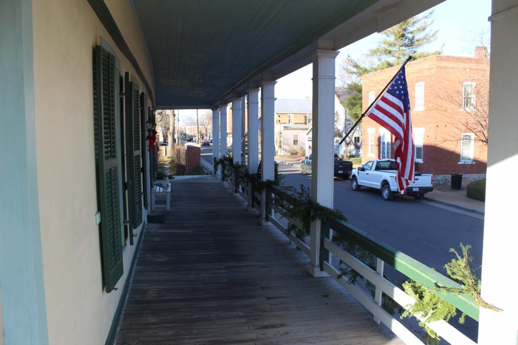
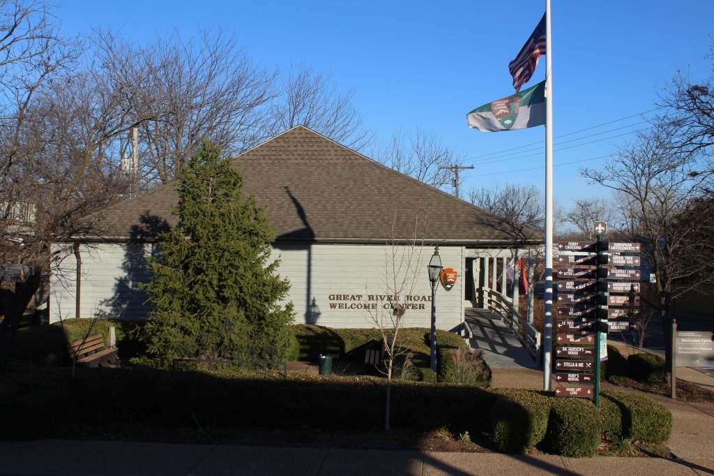
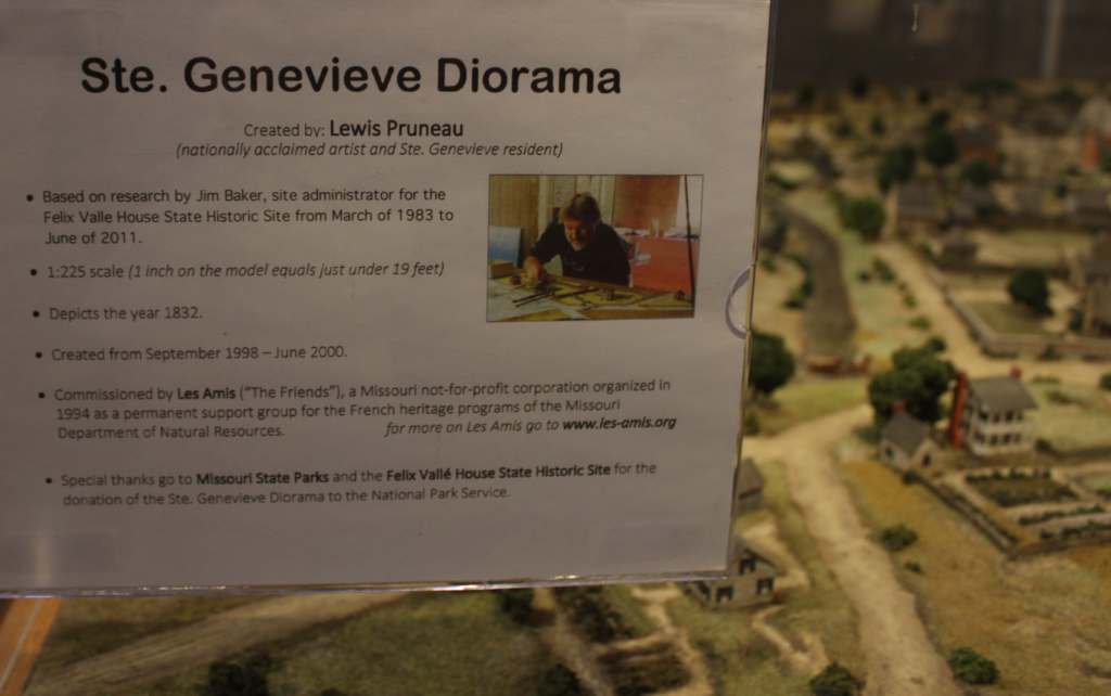
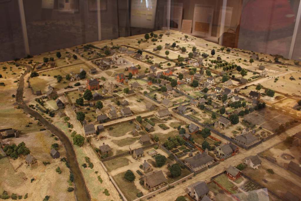
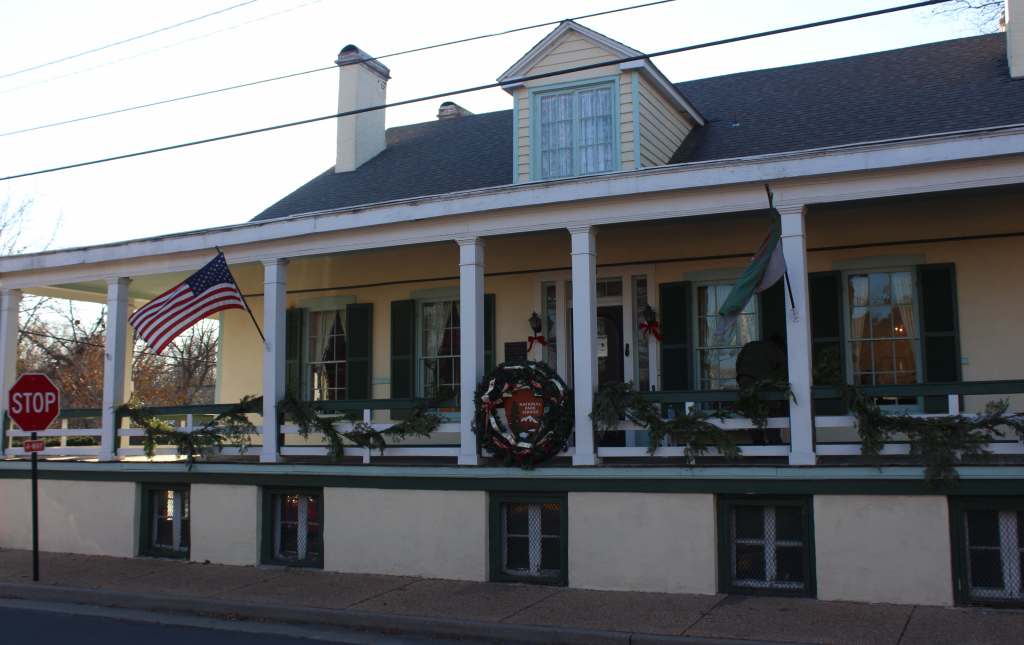
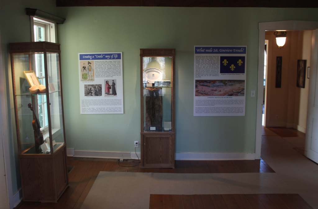
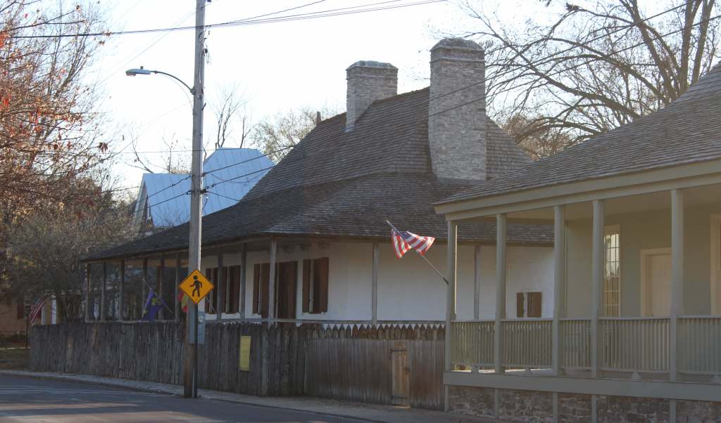
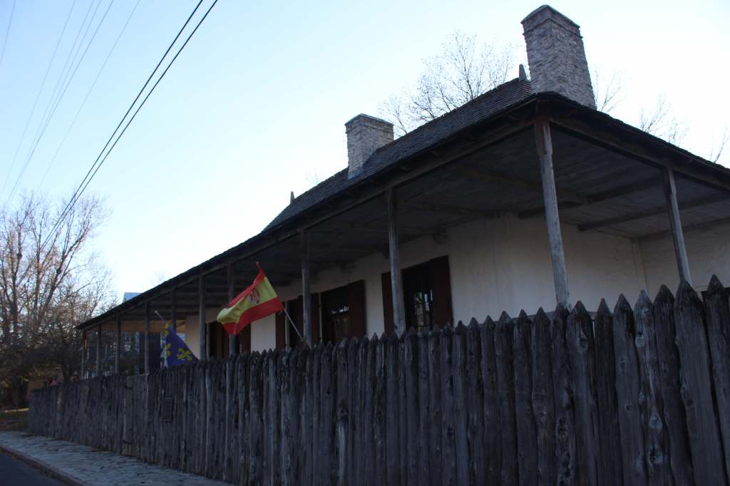
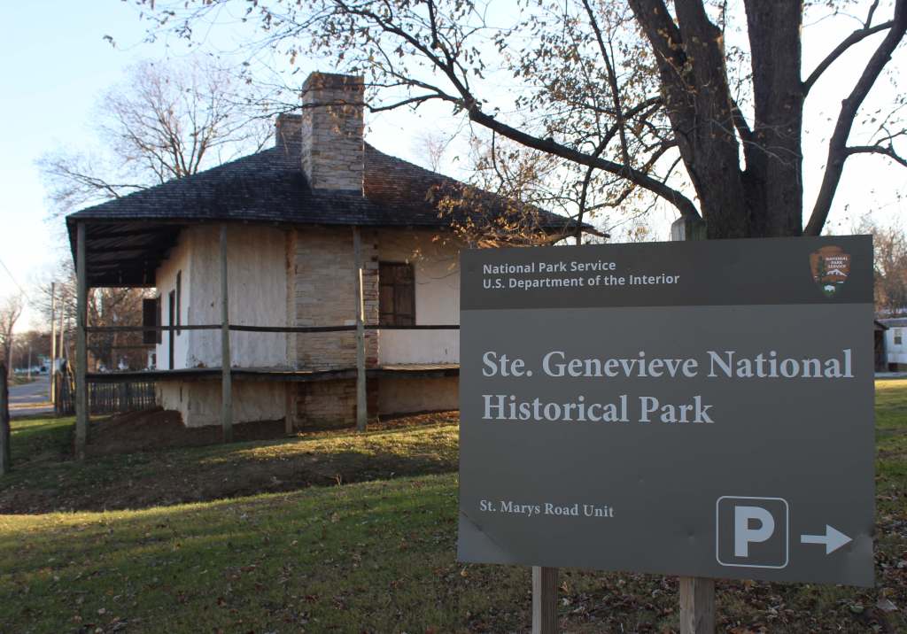
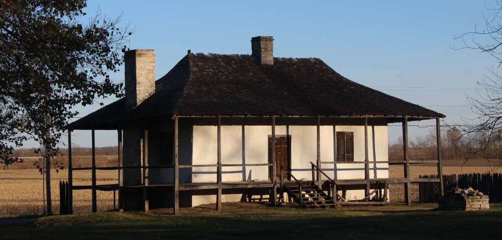
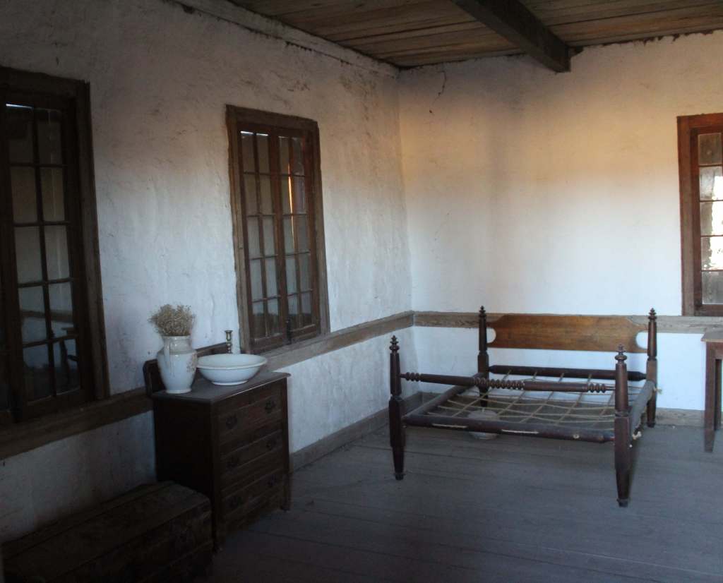
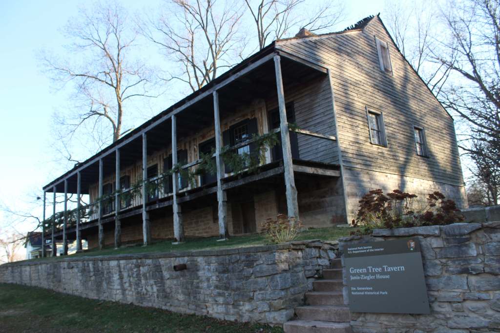
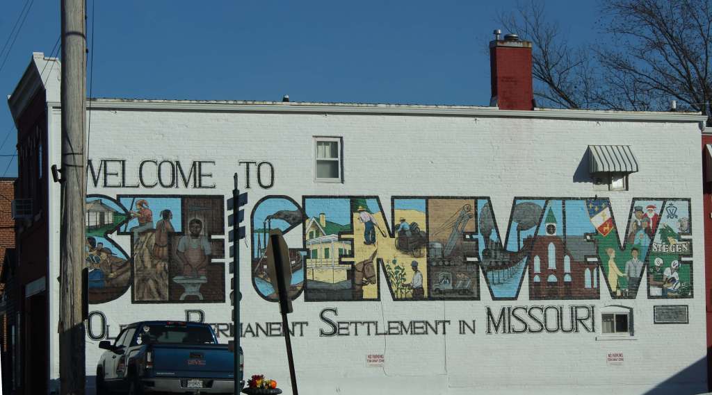
This park was established to protect the French colonial-era houses of Missouri’s first permanent settlement where residents still go all out to celebrate Bastille Day. Originally colonized by Canadians in the 1750s, the original site of Ste. Genevieve was abandoned and moved three miles away after Mississippi River flooding in 1785. The oldest standing structure today is the Green Tree Tavern that dates back to 1790 based on dendrochronology. The Bolduc House (built in 1792) was restored in 1957 and is managed by the National Society of The Colonial Dames of America, while the Old Brick House from 1804 is now a restaurant.
Highlights
Jean Baptiste Vallé House and Gardens, film, Bauvais-Amoureux House, Green Tree Tavern, Levee Trail
Must-Do Activity
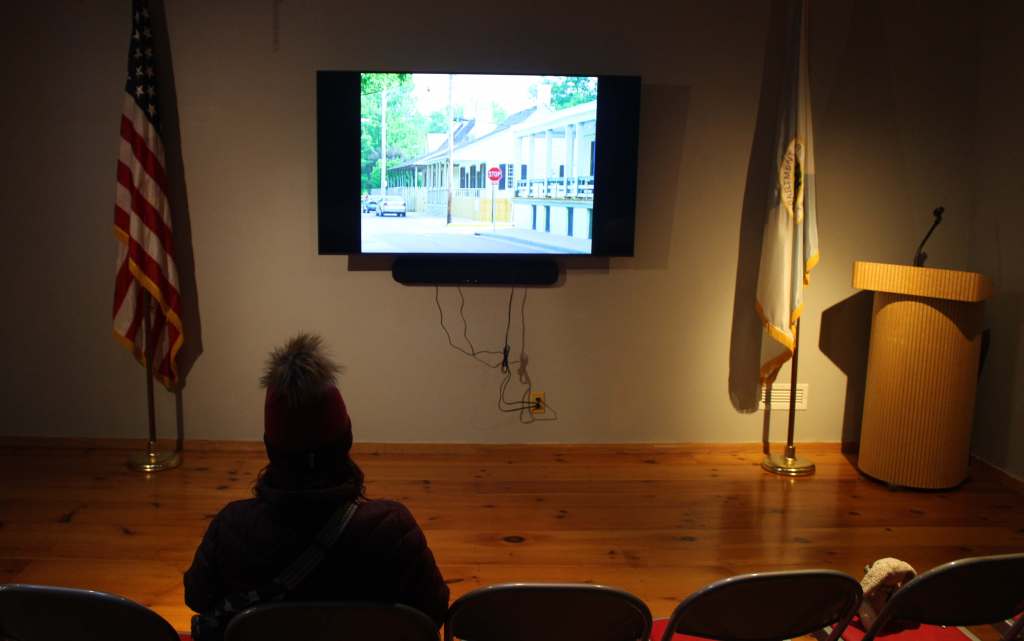
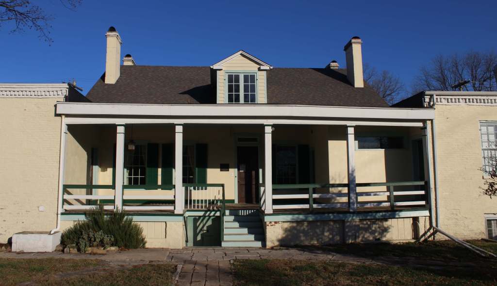
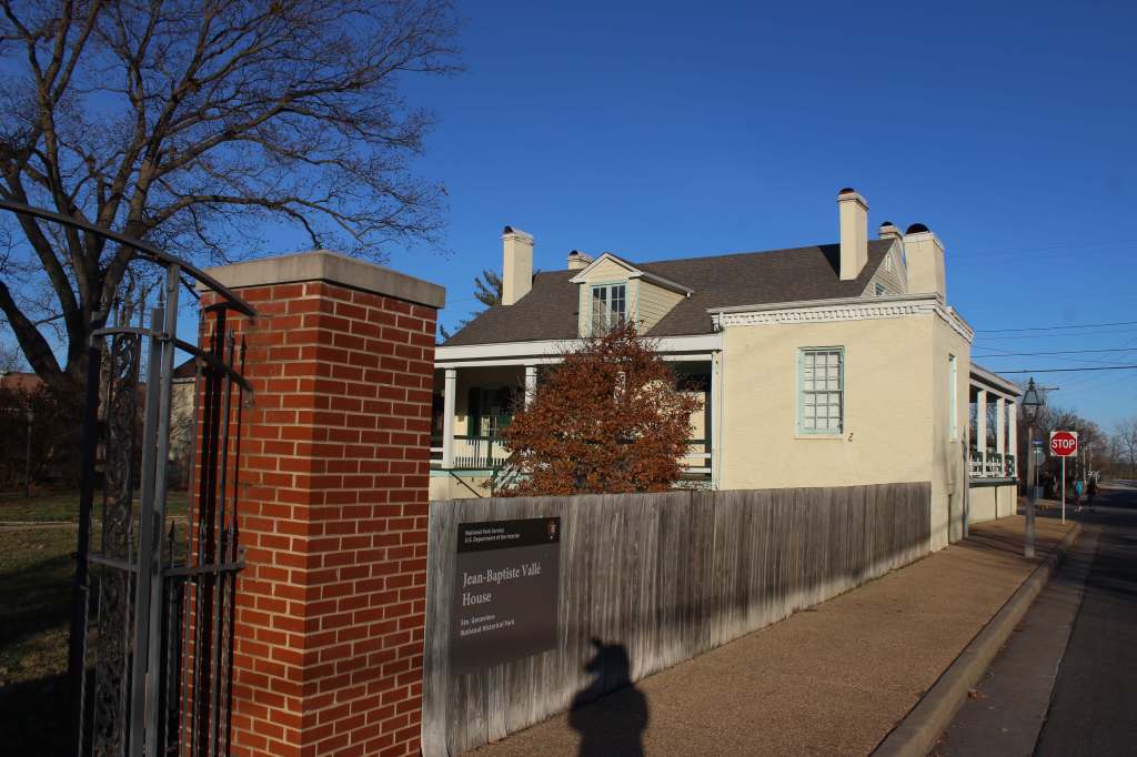
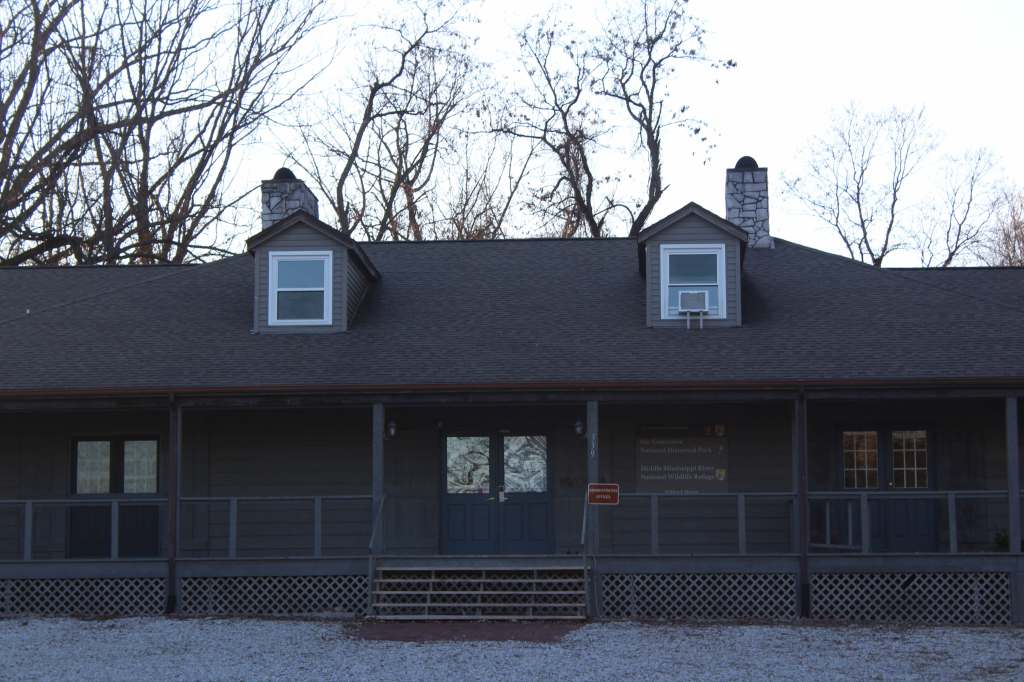
Start at the Ste. Genevieve Welcome Center at 66 South Main Street to watch the film and pick up a Junior Ranger booklet. Across the street, the Jean Baptiste Vallé House (built in 1794) can be entered for ranger-led programs, while what is believed to be the first rose garden west of the Mississippi River is open dawn to dusk. The Bauvais-Amoureux House (built in 1792) is one of only five surviving poteaux-en-terre (“post in ground”) style houses in North America. It is open daily for self-guided visits, as is the Green Tree Tavern.
Best Trail
The 3.5-mile-long Levee Trail follows the Mississippi River from a gravel parking lot about a mile from the Ste. Genevieve Welcome Center.
Photographic Opportunity
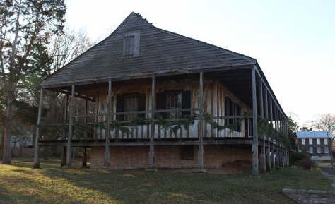
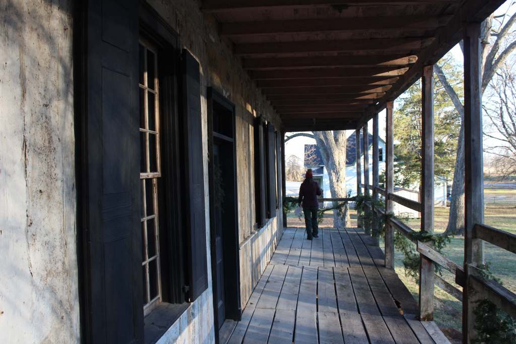
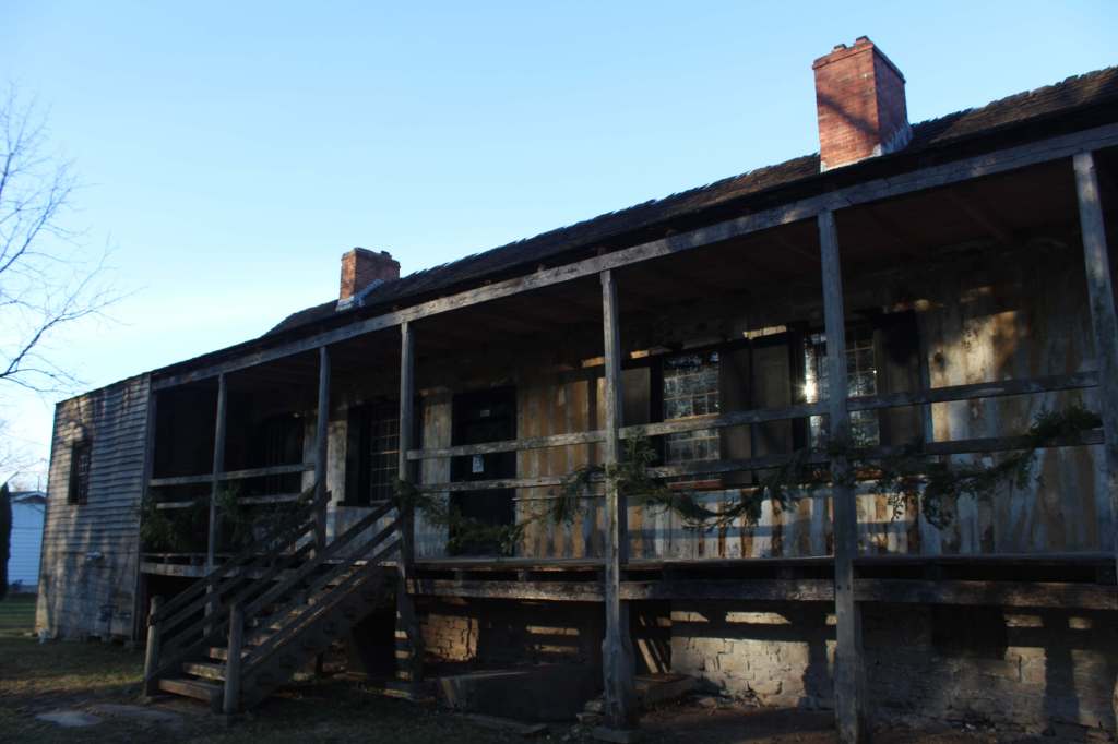
Dating back to 1790, Green Tree Tavern served as a home, inn, tobacco shop, and Masonic Lodge, and it is one of the few buildings where the vertical logs used in construction are clearly visible.
From Interstate 55, Missouri Highway 32 heads east for about four miles. From southern Illinois, the Ste. Genevieve-Modoc Ferry takes cars across the Mississippi River. While most roads in town are paved, there are narrow gravel drives for parking at Green Tree Tavern and Bauvais-Amoureux House that may not be suitable for RVs.
Jimmy Carter was the 39th U.S. President (1977-1981) and the first to reach the age of 100 before he passed away on December 29, 2024. Following his presidency, he and his wife (Rosalynn) returned to their hometown of Plains and cemented their legacy as diplomats and humanitarians, mostly through their work with the Carter Center in Atlanta (he was awarded a Nobel Peace Prize in 2002). Up until the end, Jimmy Carter taught Sunday school at Maranatha Baptist Church, which is open to the public. The National Historical Park encompasses Jimmy’s boyhood farm, high school, and the old Plains railroad depot. It also includes his residence since 1961, which continues to be closed but will eventually be turned into a museum by the National Park Service (NPS). In July 2025, the Carter Gardens and Burial Site of Jimmy and Rosalynn Carter opened to the public.
Highlights
Plains High School, film, train depot, boyhood farm, burial site, Carter Gardens
Must-Do Activity
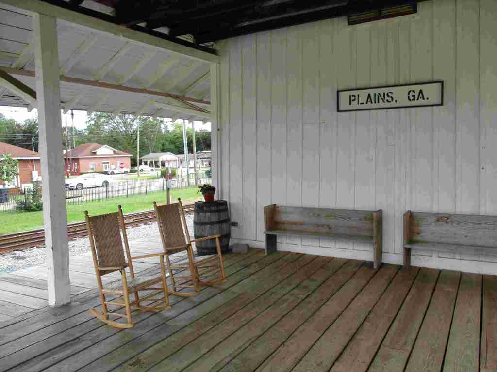
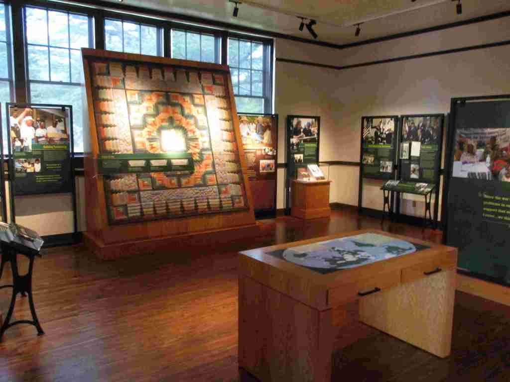
The best place to start a visit is the NPS visitor center and museum in the former Plains High School, which is full of artifacts and information on the Carters. Next, drive or walk to the main street, where the train depot that shut down in 1951 was turned into Jimmy’s presidential campaign headquarters. While downtown, check out the shops for souvenirs and try some boiled peanuts or soft-serve peanut-flavored ice cream. There are several other sites of interest around Plains, including the boyhood home, burial site, Carter Gardens, Maranatha Baptist Church, and peanut statue (see Photographic Opportunity).
Best Trail
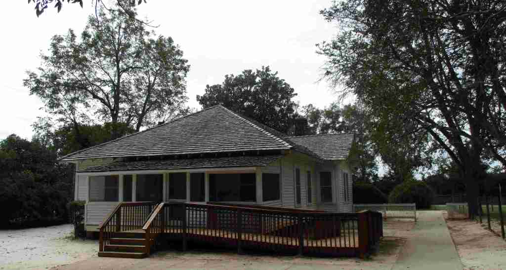
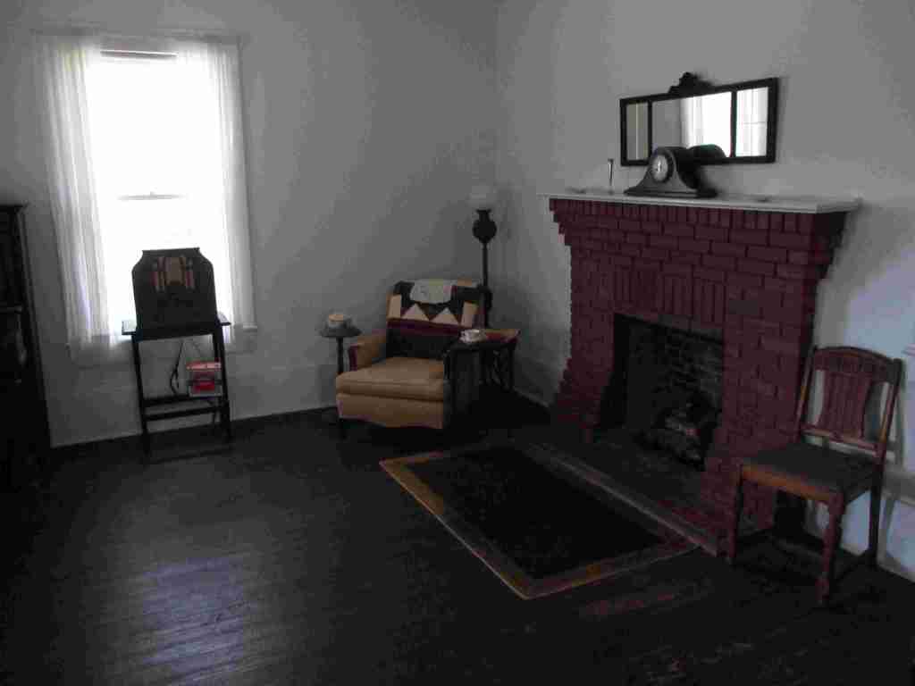
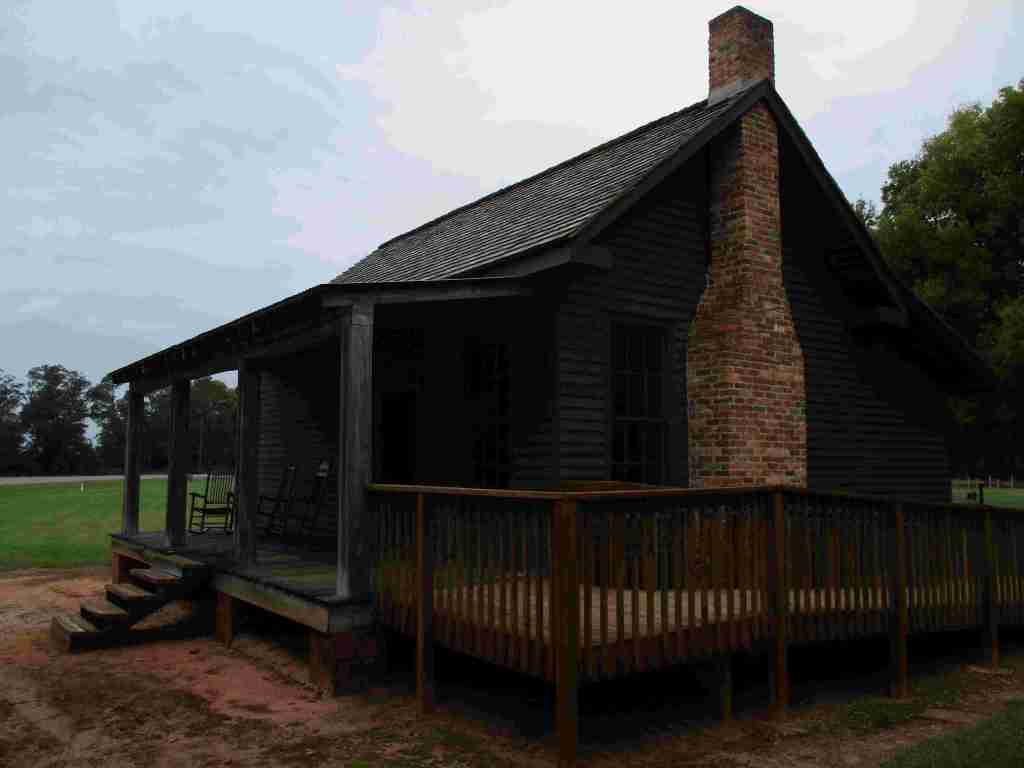
A half-mile trail winds through the boyhood farm where Jimmy lived starting at age four. Farm animals and seasonal crops are raised here, including peanuts. You can take a self-guided tour through his boyhood home, which was restored to its appearance before electricity was installed in 1938.
Photographic Opportunity
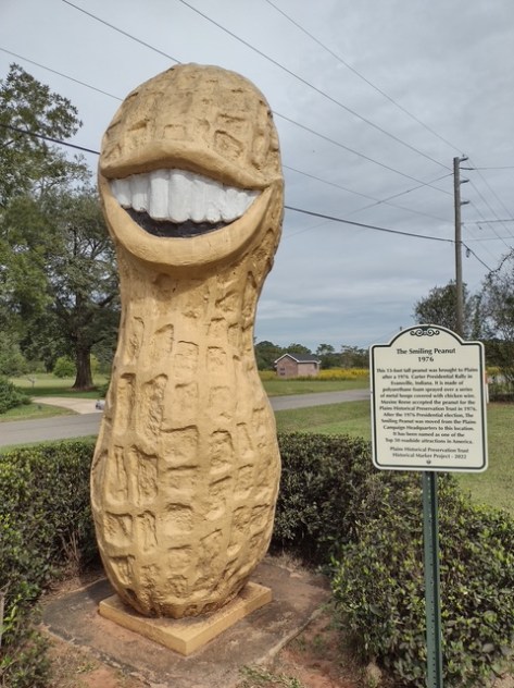
While not part of the official National Historical Park, when you drive up Buena Vista Road to see Maranatha Baptist Church, you pass the 13-foot-tall Jimmy Carter peanut statue built during the 1976 presidential election to support the former peanut farmer.
Paved parking is available at the high school, train depot, and boyhood farm (located about three miles west of town).
Camping
About 30 miles away in each direction are campgrounds at Georgia Veterans State Park and Providence Canyon State Park (which is featured on a U-Haul super graphic).
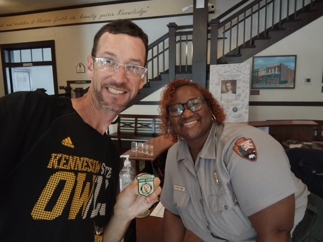
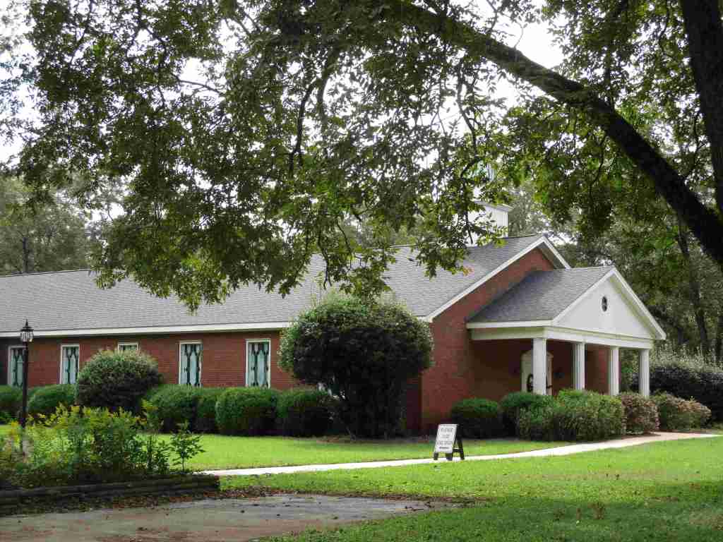
Jimmy’s boyhood homeJimmy’s boyhood bedroomDowntown PlainsInside Plains High SchoolA 100th birthday card for JimmyScott earned a special 100th birthday Junior Ranger badgeMarantha Baptist ChurchVulturin’ about the park
Explore More – According to an urban legend, why was a hole cut in the back of the Jimmy Carter peanut statue by the U.S. Secret Service?
Last year we published our guidebook 50 States of Great: Road Trip Guide to America, so we decided to start a new type of blog post where we create a travel itinerary for all 50 states, in addition to our usual National Forest and National Park entries. After starting by jumping around to Kansas, Georgia, Idaho, Rhode Island, Minnesota, Hawai’i, and Arizona, we headed back to the south for Louisiana. Just in time for Mardi Gras, we made an ambitious seven-day plan starting in New Orleans, with plenty of options to extend the trip.
Eating beignets is a great way to start your trip to Louisiana, and this is the most touristy place to get them, located on the Riverwalk in New Orleans.
It is easy to spend an entire day here (fee) because of all the interactive exhibits and informational touchscreen kiosks. You do not even have to leave for lunch, since the Soda Shop and American Sector Restaurant & Bar are on site. We recommend you purchase a ticket including the 4-D film Beyond All Boundaries and the submarine experience based on the final mission of the USS Tang. This is our vote for #1 museum in the entire U.S.
French Quarter
Every American needs to visit the French Quarter at least once in their life (although whether that’s during the wildness of Mardi Gras is up to you), and it is walkable from the National WWII Museum. Consider stopping by iconic Lafayette Square, Old Ursuline Convent Museum, or the New Orleans Pharmacy Museum.
Ghost Tour
We have heard rave reviews about the ghost tours offered in New Orleans, and hope to attend one someday to compare it to the others we have done.
We camped here and it felt like we were off in the wild while still within the city’s suburbs.
Day 2
New Orleans Jazz National Historical Park
The New Orleans Jazz Museum (fee) is located in the old U.S. mint building right in the heart of the historic French Quarter. Check the online schedule for musical performances put on by the National Park Service (NPS) and enter the free visitor center shared with Jean Lafitte National Historical Park and Preserve.
Go out to lunch in New Orleans
Louisiana is famous for its Cajun food, including gumbo, étouffée, jambalaya, po’boys, and red beans and rice.
Make sure you visit the 24,000-acre Barataria Preserve to experience the bayous of Louisiana, whether you hike or take a boat tour (fee). South of downtown New Orleans off Highway 45, keep your feet dry by hiking the boardwalks on the Bayou Coquille Trail. In addition, this park includes three Acadian Cultural Centers spread throughout southwestern Louisiana.
Optional stop at Chalmette Battlefield
Another part of Jean Lafitte National Historical Park and Preserve encompasses the land where Andrew Jackson led the defeat of the British to retain New Orleans for the U.S. after the end of the War of 1812.
Day 3
Baton Rouge
Check out the art-deco capitol building where you might see white pelicans floating on the lake next door. We read that the pelican on the state flag is supposed to be a brown pelican (the official state bird) even though the artist made it white so it stood out against the blue background. Also consider visiting the Old State Capitol, Old Governor’s Mansion, or USS Kidd destroyer ship.
Optional drive along the Lake Ponchartrain Causeway
Not the most direct route between New Orleans and the capital city, this 23.8-mile causeway is considered the longest continuous bridge over water in the world. It is free to drive northbound, but don’t attempt it when it’s smoky or foggy, as it becomes very dangerous to drive.
Optional stop at LSU Tigers game
Louisiana State University is located in Baton Rouge and they are famous for their tailgating scene and raucous fans who support their perennially excellent football, women’s basketball, and gymnastics teams.
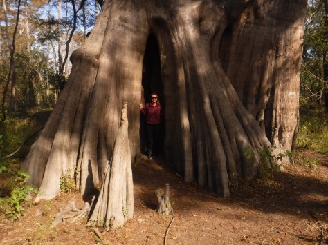
Northwest of Baton Rouge, the largest of all baldcypress trees in the U.S. is found at the end of a flat, half-mile trail, where there is a new boardwalk built around the tree to protect its roots. This area is located down six miles of dirt road full of potholes (and is sometimes flooded).
Louisiana is home to 24 National Wildlife Refuges, many found in its southern half where bayous are full of alligators and mostly uninhabited by humans, like this one west of Baton Rouge.
In southwest Louisiana, this route traverses 180 miles of pavement around Calcasieu Lake and the Gulf of Mexico coastline. Much of the state’s oceanfront is inaccessible swamp, but in this corner of the state there are 26 miles of beautiful sandy beaches where ocean waves and seashells await. Consider spending the night in Holly Beach.
Further inland, there are 700,000 acres of wetlands that attract waterfowl to Sabine National Wildlife Refuge, while the surrounding area is used by farmers to grow rice and raise crawfish.
There are eight parcels that constitute the sprawling 603,360-acre Kisatchie National Forest, which has over 40 developed recreation sites and 100 miles of trails. It encompasses lakes for boating and swimming, plus baldcypress-lined bayous for canoeing and fishing. Old-growth longleaf pine forests can be accessed by the paved Longleaf Trail Scenic Byway, just off Interstate 49. A 1.5-mile interpretive loop at Longleaf Vista is a good place to start.
Red Dirt National Wildlife Management Preserve
Camping is allowed in this area next to the 8,700-acre Kisatchie Hills Wilderness where you can backpack along trails. Kisatchie National Forest also offers several lakefront camping areas elsewhere. Lake Fausse Pointe, Lake Bistineau, and Chicot State Parks all have campgrounds with lake access, as well cabins available for rent.
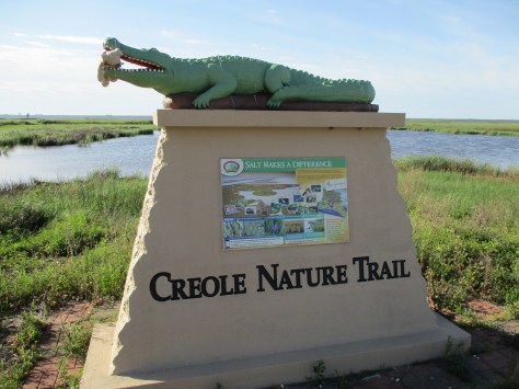
The Creole Nature Trail Adventure Point is a self-guided audio tour and starts off Interstate 10 in Sulphur, where a museum has hands-on displays that introduce visitors to local wildlife and Cajun culture.
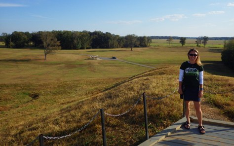
Settled 3,700 years ago by hunter-gatherers, this ancient city with a population estimated at 1,500 was situated along Bayou Macon in northeast Louisiana. The inhabitants constructed several mounds, the most impressive is 72-feet-tall in the shape of a bird, which required approximately 15-million basket-loads of soil to complete.
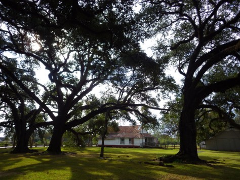
Oakland Plantation survived the Civil War intact, but in the wake of Reconstruction tenant farming created a new form of indentured servitude. Self-guided tours of the site take you through the mule barn, several cottages, and an old general store that still looks open for business along Highway 494. Slave/tenant quarters are also preserved at Magnolia Plantation downstream, but the main house is closed to the public.
Festivals dedicated to celebrating and eating frogs and crawfish; it does not get any more Louisiana than that! Also, consider arriving during one of the many music festivals dedicated to jazz, zydeco, or other regional musical styles.
An annual battle reenactment takes place at the site of a siege during the Civil War; further north, another Civil War reenactment is held at Pleasant Hill.
This forested Wildlife Management Area is located between Monroe and Alexandria in central Louisiana. It includes Rock Falls, which at 17 feet in height is the tallest waterfall in the state, accessible on a seven-mile trail.