Tag Archives: forest

Huron National Forest

Huron National Forest

Michigan

Managed by U.S. Forest Service, Eastern Region

694,056 acres (438,584 federal/ 255,472 other)

Website: https://www.fs.usda.gov/hmnf

Overview

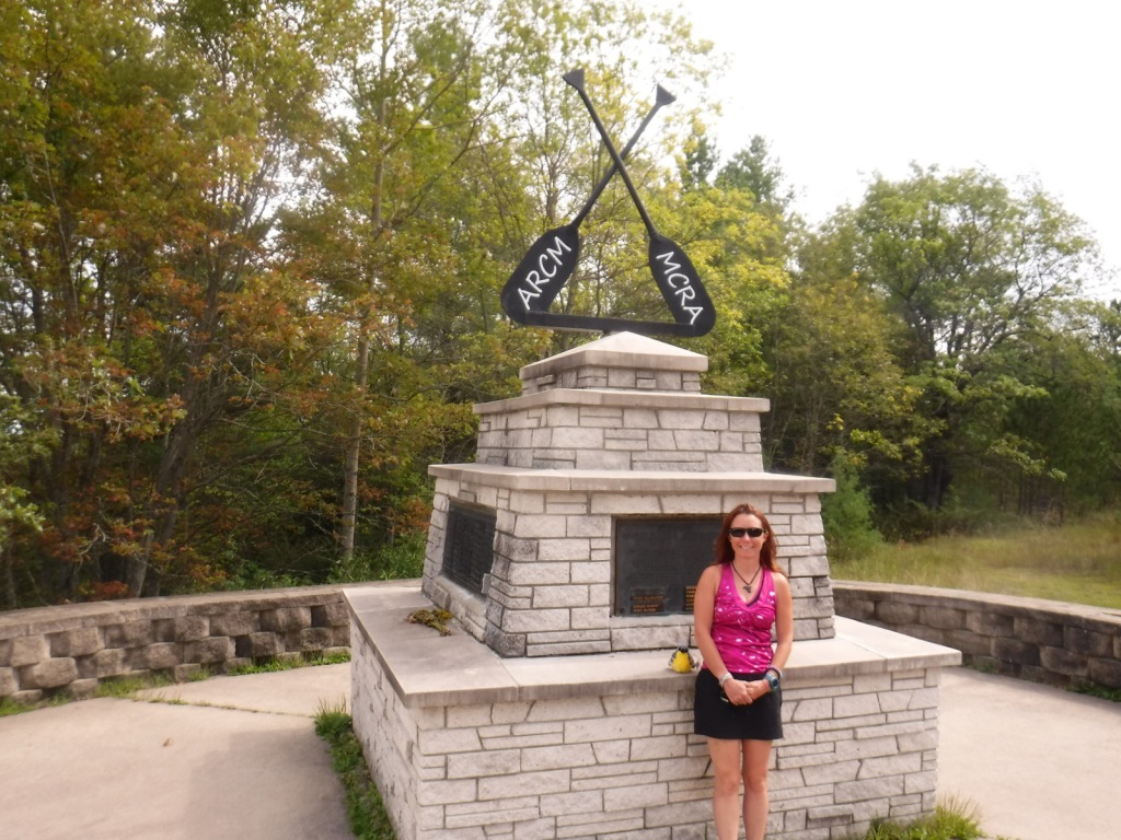
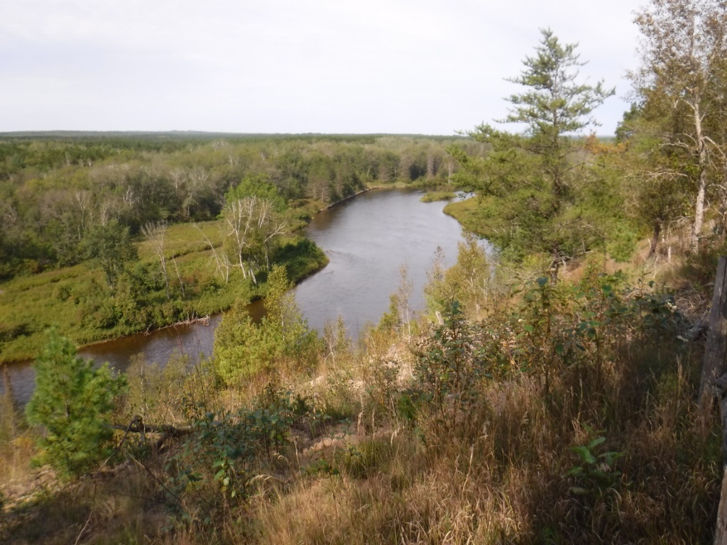
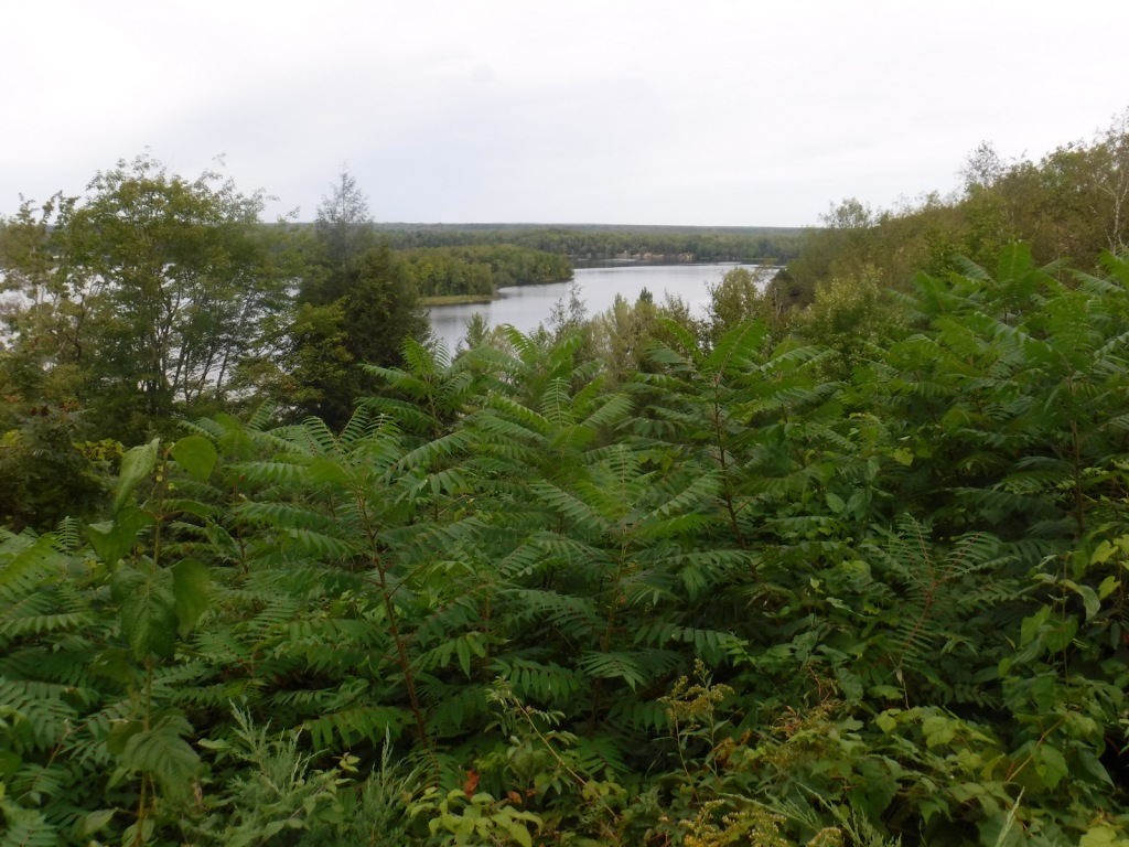
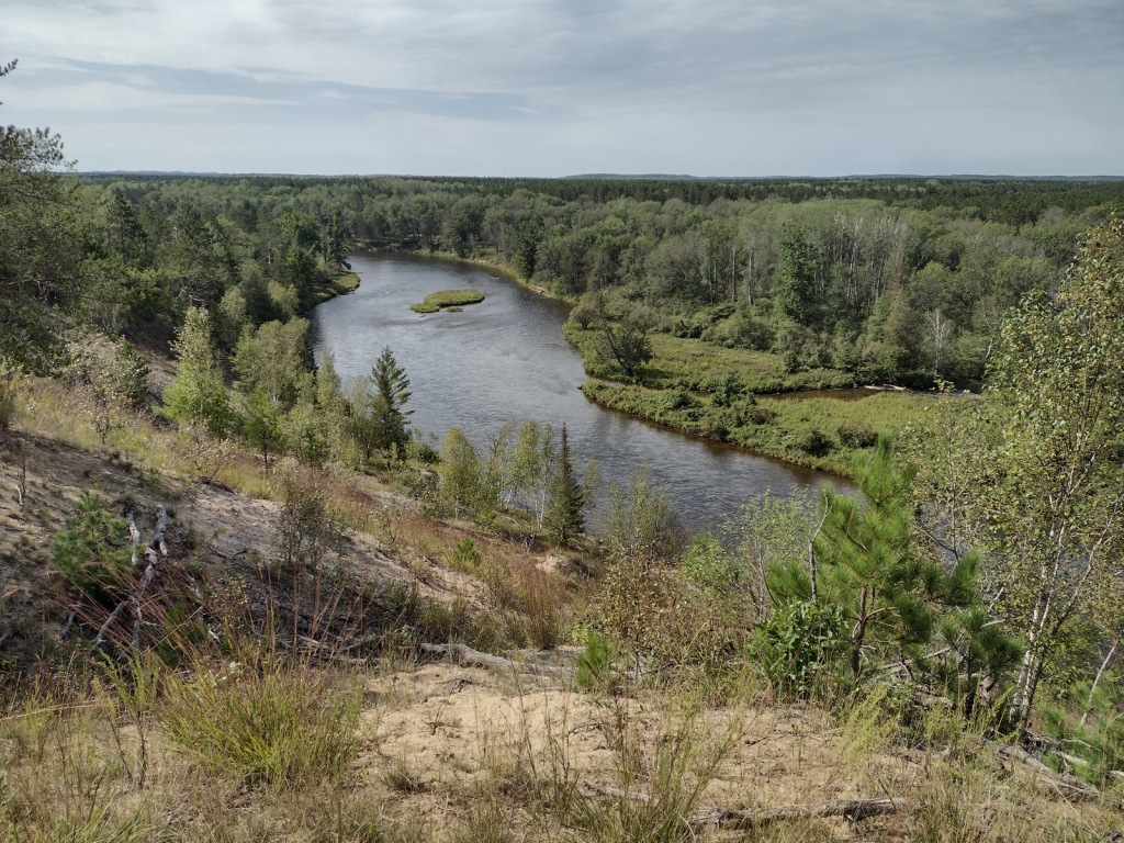
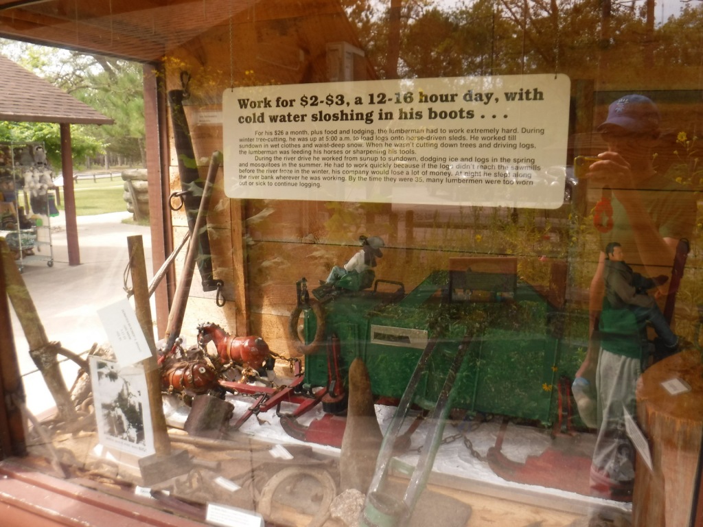
Huron National Forest occupies a strip of land in eastern Michigan that follows the Au Sable National Wild and Scenic River to near its confluence with Lake Huron.  The National Forest was established in 1909 after logging in the area went into decline.  In 1945, it was administratively combined with the Manistee National Forest, which is on the western side of the state.  Two years later, the first Au Sable River Canoe Marathon was held when 46 teams entered, but only 15 teams finished the 120-mile-long race.  Held annually the last weekend of July, thousands of spectators watch the event, but if you are not there then at least stop by the Canoer’s Memorial.  In the winter, snowmobiling and cross-country skiing are popular activities in Huron National Forest.
Highlights

River Road Scenic Byway, Lumberman’s Monument, Canoer’s Memorial, Iargo Springs Interpretive Site, Cooke Dam Pond, Tuttle Marsh, Bull Gap ORV Trail, Hoist Lakes Foot Travel Area, Highbanks Trail, Eagle Run Cross-Country Ski and Hiking Trail

Must-Do Activity

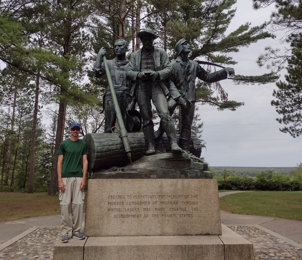
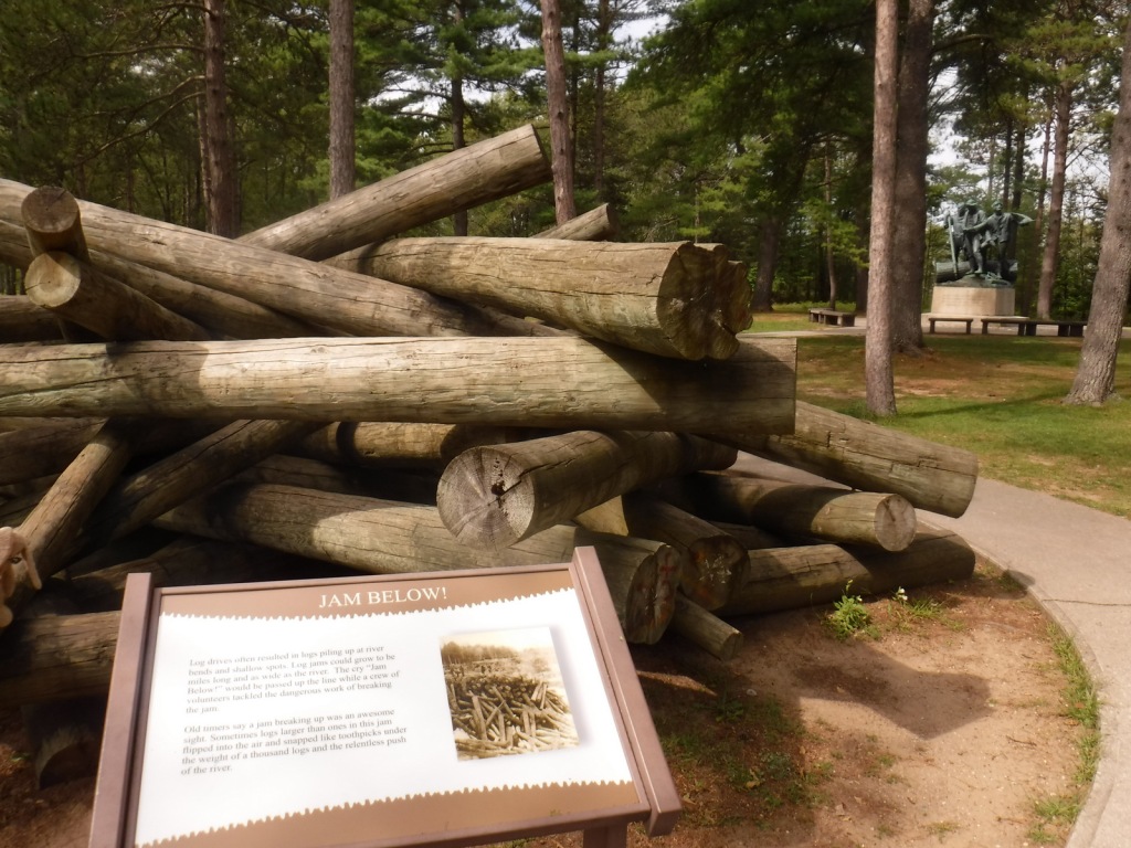
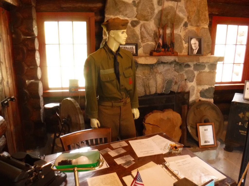
The 22-mile-long River Road Scenic Byway follows the Au Sable National Wild and Scenic River with 18 stops at memorials, overlooks, dams, ponds, trailheads, and campgrounds.  The National Forest’s most developed area surrounds the Lumberman’s Monument, a 14-foot bronze statue dedicated in 1932.  The site also has a museum, gift shop, interactive visitor activities, hiking trails, and a campground.  Three other popular stops along the River Road Scenic Byway are the Iargo Springs Interpretive Site, Kiwanis Monument, and Foote Pond Overlook where visitors might spot a bald eagle.

Best Trail

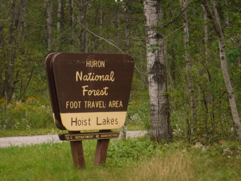
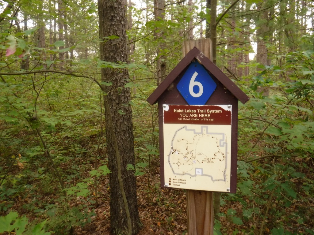
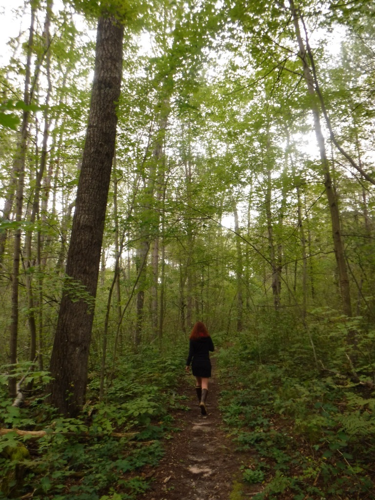
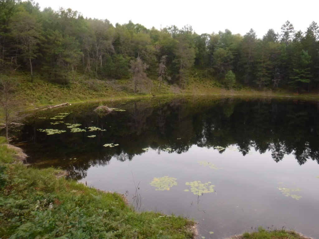
A day use fee is charged to park at the two entrances to Hoist Lakes Foot Travel Area in the northern part of Huron National Forest.  We started at the west entrance, just 1.8 sandy miles off paved Aspen Alley Road, and hiked a half-mile to Carp Lake, which had a large beaver hut in its center.  There are many loop options in this forest that is being managed for old-growth conditions, which makes it ideal for cross-country skiing. 

Watchable Wildlife

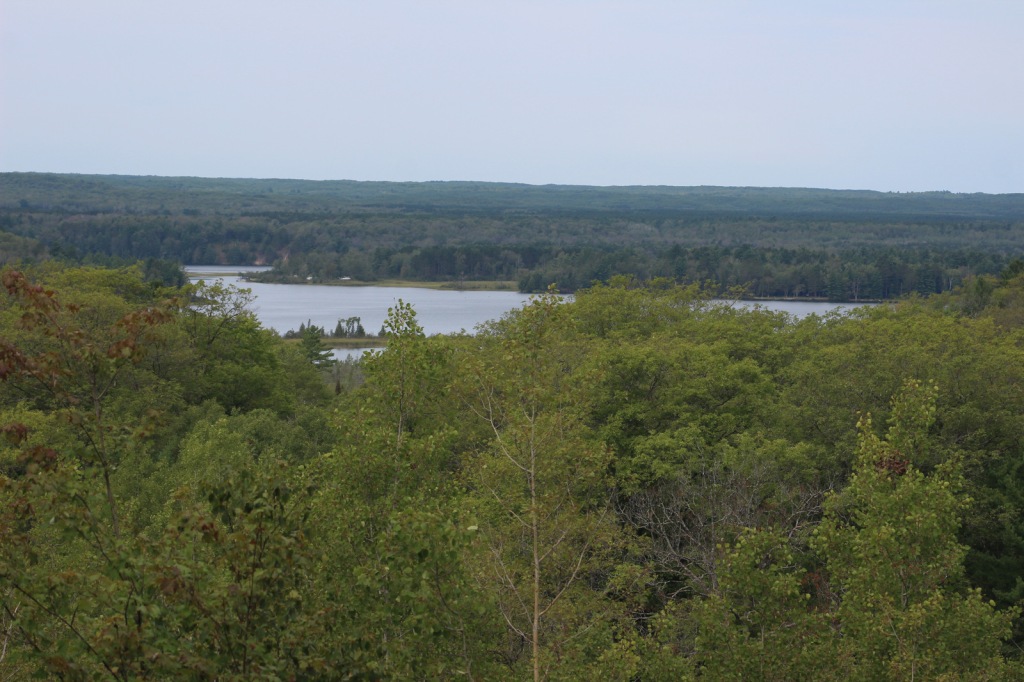
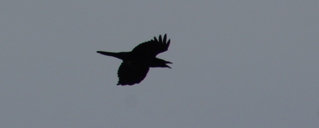
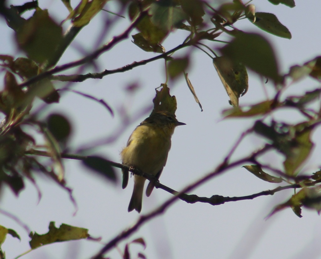
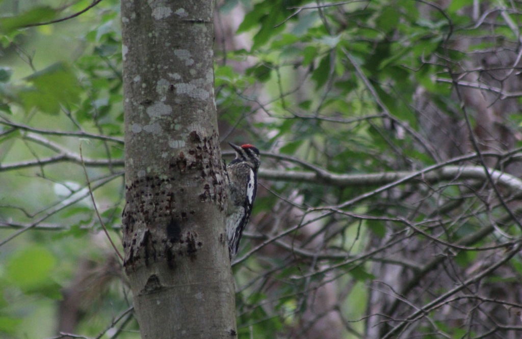
Huron National Forest manages its jack pine forests to provide summer nesting habitat for the formerly-endangered Kirtland’s warbler.  After being placed under protection of the Endangered Species Act when its population fell to 167 nesting pairs in 1974, it was delisted in 2019 after rebounding to 2,300 pairs.  Since dense, young stands of jack pine are unsuitable habitat, Kirtland’s warblers need old-growth forests, which are extremely susceptible to crown fires.  Other species prefer old-growth forests, too, like pileated woodpeckers, saw-whet owls, and pine martens.  We saw one of the rare Kirtland’s warblers at Au Sable Scenic River Highbanks Overlook, in addition to spotting a trumpeter swan, hairy woodpecker, raven, black squirrel, porcupine, and white-tailed deer.  The Au Sable River offers trout fishing for people and bald eagles.

Instagram-worthy Photo

We stopped at Au Sable Scenic River Highbanks Overlook and were able to photograph a Kirtland’s warbler.
Peak Season

Summer

Fees

A day use fee is charged to park at the two entrances to Hoist Lakes Foot Travel Area, or you can use the America the Beautiful pass.  Access to the Lumberman’s Monument is free.

Road Conditions

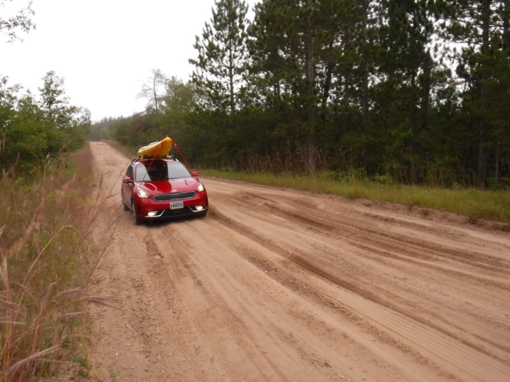
The unpaved roads are very sandy, but they were mostly flat without deep sand and easily drivable with a passenger vehicle in the summer.

Camping

There were signs prohibiting camping at the Hoist Lakes Foot Travel Area trailhead and Au Sable Scenic River Highbanks Overlook, and the dense forest offered no dispersed camping options that we noticed.  A developed campground is available at the Lumberman’s Monument, as well as at Algona Dam Pond, Loud Dam Pond, Cooke Dam Pond, and Foote Dam Pond.

Wilderness Areas

None

Related Sites

Hiawatha National Forest (Michigan)

Manistee National Forest (Michigan)

River Raisin National Battlefield Park (Michigan)

Nearest National Park
Isle Royale

Conifer Tree Species

jack pine, red pine, eastern white pine, eastern hemlock, balsam fir, eastern redcedar, northern white-cedar, tamarack

Flowering Tree Species

red maple, sugar maple, American elm, black ash, quaking aspen, paper birch, northern red oak, pin cherry, shadbush

Explore More – When the first 120-mile-long Au Sable River Canoe Marathon was held in 1947, who were the two paddlers that won with a time of 21 hours and 40 minutes?

Learn more about this and the 154 other National Forests in our new guidebook Out in the Woods

George Washington National Forest

George Washington National Forest

Virginia, West Virginia

Managed by U.S. Forest Service, Southern Region

1,795,084 acres (1,065,369 federal/ 729,715 other)

Website: https://www.fs.usda.gov/gwj

Overview

First established as the Shenandoah National Forest in 1918, George Washington National Forest covers portions of the Blue Ridge and Allegheny Mountains.  It includes the northern 60 miles of the Blue Ridge Parkway and a significant stretch of the Appalachian National Scenic Trail south of Shenandoah National Park.  The National Forest’s proximity to Washington, D.C. and Baltimore makes it a major recreation destination, particularly for trail runners.  It is now co-managed with the more western Jefferson National Forest, together encompassing 230,000 acres of old-growth forests, 139,461 acres of Wilderness areas, and more than 2,000 miles of trails.

Highlights

Mt. Pleasant National Scenic Area, Big Walker Mountain Scenic Byway, Highland Scenic Tour, Massanutten Visitor Center, Sherando Lake, White Rock Creek Falls, Lake Moomaw, Woodstock Tower, Upper Shamokin Falls, Slacks Overlook, High Knob Fire Tower, Maple Flats, Bird Knob Loop Trail, Lion’s Tale National Recreation Trail, Waterfall Mountain Loop Trail, McDowell Battlefield Trail, Big Schloss Trail, Crabtree Falls Observation Trail, Story Book Trail, Pig Iron Loop Trail, Dragons Tooth Trail, Appalachian National Scenic Trail

Must-Do Activity

Driving the Blue Ridge Parkway through George Washington National Forest is a must-do, but there are other attractions to be found in this ridgeline-running forest.  Not far east off Interstate 81, it is a short drive up a gravel road to Woodstock Lookout Tower, where a short, flat trail accesses the metal structure that provides views of the Seven Bends of the Shenandoah River.  Downhill on the eastern side of that ridge (and protected from freeway noise) is the free Little Fort Campground with nine campsites.  There is a charge to ride the Peters Mill Gap and Taskers Run ATV/OHV trails (covering 40 miles) that leave from the campground.  A one-mile hiking trail leaves from Campsite 8 and climbs up to Woodstock Tower.

Best Trail

Crabtree Falls Observation Trail (day use fee) is easy to access from paved State Route 56 east of the Blue Ridge Parkway.  There are actually five waterfalls here with a total drop of 1,200 feet spread over a half-mile.  The first overlook of the lower falls is only 500 feet from the parking lot and is handicap accessible.  From there, the trail switchbacks up 1.7 miles one-way to a fourth and final view of the falls, then continues on another two miles to the Appalachian National Scenic Trail after gaining more than 1,000 feet in elevation. 

Watchable Wildlife

Extensive sections of old-growth forest can be found in Mt. Pleasant National Scenic Area and much of the Rich Hole and Ramsey’s Draft Wildernesses.  This provides habitat for a healthy population of black bears, as well as white-tailed deer, bobcats, raccoons, river otters, martens, and weasels.  Large birds found in George Washington National Forest include wild turkeys, turkey vultures, bald eagles, peregrine falcons, and several types of hawks.  Wetlands, like Maple Flats, are home to cricket frogs, painted turtles, spotted turtles, and many species of salamanders, such as marbled, Cow Knob, Cheat Mountain, Shenandoah, and tiger salamanders.  Over 100 species of freshwater fish reside here, and fishing is popular activity in the Jackson River and 152-foot-deep Lake Moomaw.

Instagram-worthy Photo

With five major cascades dropping 1,200 feet in total, there are plenty of places to catch your breath and snap some photographs along the steep Crabtree Falls Observation Trail.

Peak Season

Spring and fall

Fees

There is a day use fee for hiking Crabtree Falls Observation Trail and riding the Peters Mill Gap and Taskers Run ATV/OHV trails. 

Road Conditions

Parking at Crabtree Falls is paved and RV accessible, and the one unpaved road we took to Woodstock Tower and Little Fort Campground was in good shape.

Camping

There are many designated campgrounds found throughout George Washington National Forest, including the free, nine-site Little Fort Campground not far east off Interstate 81 (see Must-Do Activity).  Although dispersed camping can be hard to find, we read there are sites on the four-wheel-drive road (SR 826) at the top of Crabtree Falls Observation Trail near where it meets the Appalachian National Scenic Trail. 

Wilderness Areas

Barbours Creek Wilderness (also in Jefferson National Forest)

Priest Wilderness

Ramsey’s Draft Wilderness

Rich Hole Wilderness

Rough Mountain Wilderness

Saint Mary’s Wilderness

Shawvers Run Wilderness (also in Jefferson National Forest)

Three Ridges Wilderness

Related Sites

Booker T. Washington National Monument (Virginia)

Cedar Creek and Belle Grove National Historical Park (Virginia)

Jefferson National Forest (Virginia, West Virginia, Kentucky)

Daniel Boone National Forest (Kentucky)

Nearest National Park

Shenandoah

Conifer Tree Species

eastern hemlock, eastern white pine, shortleaf pine, Table Mountain pine, red spruce, eastern redcedar

Flowering Tree Species

tulip-poplar, American beech, shagbark hickory, white oak, black oak, northern red oak, rock chestnut oak, pin oak, yellow birch, gray birch, sweet birch, striped maple, red maple, black gum, sassafras, basswood, flowering dogwood, sourwood, cucumber magnolia, mountain laurel, quaking aspen, paper birch, witch hazel, dwarf willow, winterberry, rhododendron

Explore More – In 1972, what company sponsored the planting of the National Children’s Forest in a burned-out area east of Jordan Mines?

Learn more about this and the 154 other National Forests in our new guidebook Out in the Woods

We are a participant in the Amazon Services LLC Associates Program, an affiliate advertising program designed to provide a means for us to earn fees by linking to Amazon.com and affiliated sites.

Moosalamoo National Recreation Area

Moosalamoo National Recreation Area

Vermont

Managed by U.S. Forest Service, Eastern Region

15,875 acres

Website: https://www.fs.usda.gov/recarea/gmfl/recreation/recarea/?recid=64903&actid=29

Overview

Created by the New England Wilderness Act of 2006, Moosalamoo National Recreation Area is located in the northern portion of Vermont’s Green Mountain National Forest.  Moosalamoo (pronounced moose-ah-la-moo) comes from the Abenaki word for a moose call.  Recreation here is centered around water, with the Falls of Lana on Sucker Brook, a hike-in campground on Silver Lake, and boating on Sugar Hill Reservoir formed by Goshen Dam.  There are 70 miles of hiking trails, which are also open to mountain bikers, equestrians, and cross-country skiers in the winter.  Blueberry picking is a fun activity in the fall along trails and in cultivated fields at Blueberry Hill Inn in Goshen.

Highlights

Falls of Lana, Silver Lake, Voter Brook Overlook, Sugar Hill Reservoir , Robert Frost Interpretive Trail, Goshen Trail, Chandler Ridge-Leicester Hollow Loop, Mt. Moosalamoo Trail

Must-Do Activity

A short, steep hike from Silver Lake South Trailhead takes you underneath a welded steel penstock (or water pipe) that is part of a hydroelectric project.  From here, carefully go left down the rocks on an unmarked route to the base of the Falls of Lana.  The trail continues to the Rattlesnake Cliffs (closed seasonally due to raptor nesting) and Silver Lake, which has a backcountry campground.  Another popular hike climbs about 1,500 feet in 2.5 miles to the top of Mt. Moosalamoo, with an additional 0.2-mile sidetrip to the South Vista.

Best Trail

Robert Frost, a four-time Pulitzer Prize winner in poetry, spent his summers at the Bread Loaf School of English, which he cofounded.  On Highway 125, the Robert Frost Interpretive Trail is a handicap accessible boardwalk with posted poems by the author that also connects into the Crosswalk, North Star, Afternoon Delight, and Sundown Trails.  Look for evidence of beavers near the ponds and the South Branch of the Middlebury River, as well as blueberries and huckleberries growing in old fields (maintained with prescribed fire).  Unique to Forest Service trailheads, this one is a bus stop on the Tri-Valley Transit route.

Instagram-worthy Photo

Voter Brook Overlook was clearcut and planted with apple trees to provide a nice viewshed in this otherwise dense hardwood forest.

Peak Season

Summer

Fees

None

Road Conditions

All the gravel roads we drove were in good shape during the spring and we were so impressed by one new road culvert we stopped to take a photo (see below).

Camping

Open from Memorial Day through Labor Day, Moosalamoo Campground has 18 campsites located at the base of the Mt. Moosalamoo Trail, near Voter Brook Overlook.  There are a couple dispersed campsites also on the road, but we had one of our worst nights camping here with college kids blasting music late and another group waking us up before sunrise.  The backpacking campground at Silver Lake is nice, or you can stay at Branbury State Park on Lake Dunmore.

Related Sites

Green Mountain National Forest (Vermont)

White Rocks National Recreation Area (Vermont)

Marsh-Billings-Rockefeller National Historical Park (Vermont)

Saint-Gaudens National Historical Park (New Hampshire)

Nearest National Park

Acadia

Explore More – Although his name is not Lana, the Falls of Lana are named for which U.S. Army General who served in the 1848 Mexican-American War?

Fremont National Forest

Fremont National Forest

Oregon

Managed by U.S. Forest Service, Pacific Northwest Region

1,713,891 acres (1,207,039 federal/ 506,852 other)

Website: https://www.fs.usda.gov/fremont-winema

Overview

In central Oregon, the sagebrush-dominated high desert is also known as the Oregon Outback because of its rural resemblance to the arid Australian bush.  Fremont National Forest encompasses the wooded mountains that rise to the west above Lake Abert and Summer Lake in the Warner Valley, an important wetland area for wildlife.  In addition, a separate section located to the southeast covers the Warner Mountains and Abert Rim.  The cliffs of Hadley Butte are popular with hang gliders.  The Mitchell Monument honors the six American civilians who lost their lives during World War II when a Japanese balloon bomb exploded after traveling 6,000 miles. 

Highlights

Oregon Outback Scenic Byway, Goodlow Mountain Natural Area, Drake Peak Lookout, North Warner Viewpoint, Abert Rim, Heart Lake, North Fork of Sprague National Wild and Scenic River, Mitchell Monument, Cottonwood Lake, Crane Mountain National Recreation Trail, Fremont National Recreation Trail, Gearhart Mountain Trail

Must-Do Activity

While it is not an official trail, the 4.6-mile out-and-back hike to Coleman Rim does have a good payoff with views of the Chewaucan River Valley.  It is reached by driving nine miles up paved Forest Road 3360 from Highway 140, then turning right for two miles on gravel Forest Road 024 to Shepard Camp Creek.  From there, you start hiking north to the head of Shepard Camp Meadow, while watching for black-tailed deer, sandhill cranes, and the numerous cattle that frequent this area.  At that point, the route starts to gain elevation as it turns east through a forest of ponderosa pine, Sierra white fir, and western white pine trees.  You will likely have to climb over a few downed trees as you navigate toward the rocky Coleman Rim that sits above 7,000 feet in elevation.

Best Trail

After the Bootleg Fire swept through the area between our 2020 and 2022 visits, it was amazing to see the differences around Gearhart Mountain.  We drove as far up the mountain as we could to Lookout Rock Trailhead, parking at the edge of the Gearhart Mountain Wilderness, walking up the gated road to a fire lookout tower that remained unburnt on its rocky ridgetop.  It was difficult to the follow the official Gearhart Mountain trail because of downed trees and the blanket of dead needles on the forest floor, but it was worth a look around to see the fire’s aftermath (please exercise caution due to the hazards of standing dead trees).  The trail accesses the volcanic Palisade Rocks within one mile from the trailhead.

Watchable Wildlife

Mule deer, elk, and pronghorns are large ungulates found in Fremont National Forest, sharing habitat with carnivores like black bears, coyotes, mountain lions, and bobcats.  The National Forest borders Summer Lake and several large wetlands that are important stops for migrating birds on the Pacific Flyway.  Commonly seen waterfowl are Canada geese, mallards, and whistling swans, and the elusive northern spotted owl nests in old-growth forests.  There are largemouth bass in the lakes, while streams support several species of trout, including the threatened bull trout. 

Instagram-worthy Photo

Nearly 10,000 Fugo balloons were launched by the Japanese during World War II, but only one caused casualties, killing six American civilians when it exploded on May 5, 1945.  At the Mitchell Monument, you can read their story and see a ponderosa pine tree that still contains shrapnel from the balloon bomb.

Peak Season

Summer

Fees

None

Road Conditions

Paved Highway 140 runs east-west through the heart of the National Forest, while Highway 395 splits a separate southeastern section on the California border.  We found unpaved Forest Road 34 to be full of potholes, but it got better the further east we went towards the Mitchell Monument and Gearhart Mountain.  Even after the 2021 fire, we found Forest Road 3660 to the Coleman Rim to be a good gravel road, while Forest Road 024 was a bit overgrown.

Camping

This is a good National Forest for dispersed camping, but we also passed Corral Creek Campground on our way up to Gearhart Mountain and Cottonwood Recreation Area offers a campground on a lake.  Rentals are available in the summer for the Drake Peak Lookout, Currier Guard Station, and Bald Butte Lookout.

Wilderness Areas

Gearhart Mountain Wilderness

Related Sites

Deschutes National Forest (Oregon)

Winema National Forest (Oregon)

Newberry National Volcanic Monument (Oregon)

Nearest National Park
Crater Lake

Conifer Tree Species

ponderosa pine, western white pine, lodgepole pine, Douglas-fir, Engelmann spruce, white fir, western juniper

Flowering Tree Species

quaking aspen, curlleaf mountain-mahogany, willow, sagebrush

Explore More – The National Forest is named after John C. Fremont who explored this area for the U.S. Army Corps of Engineers and went on to take control of the California Republic (for which he was convicted of mutiny and later pardoned), serve as a U.S. Senator, run twice for President, and then resign while Governor of what U.S. territory?

Learn more about this and the 154 other National Forests in our new guidebook Out in the Woods

We are a participant in the Amazon Services LLC Associates Program, an affiliate advertising program designed to provide a means for us to earn fees by linking to Amazon.com and affiliated sites.

Finger Lakes National Forest

Finger Lakes National Forest

New York

Managed by U.S. Forest Service, Eastern Region

16,259 acres (16,259 federal/ 0 other)

Website: https://www.fs.usda.gov/main/gmfl/home

Overview

America’s newest National Forest was formally established in 1985.  Its existence is the result of the federal government purchasing abandoned farmland in the 1930s on the Backbone Ridge between Seneca and Cayuga Lakes.  Management shifted from the Soil Conservation Service to the Forest Service in 1954, but it did not become Finger Lakes National Forest for another 30 years.  According to Iroquois legend, the Finger Lakes were formed when the Great Spirit laid hands on the land to bless it and the finger imprints filled with water.  Visitors come for hiking and bird watching, and, in addition, two acres next to Blueberry Patch Campground are managed for blueberry picking in the late summer.

Highlights

Camp Fossenvue, Seneca Lake, Blueberry Patch Recreation Site, Backbone Trail, Gorge Trail, Interlocken Trail, No Tan Takto Trail, Burnt Hill Trail, North Country National Scenic Trail

Must-Do Activity

Although it is the second smallest National Forest in the U.S., Finger Lakes National Forest has 38 miles of trails (including a spur of the North Country National Scenic Trail).  In 1996, the former Camp Fossenvue at Caywood Point on the shores of Seneca Lake was given to the National Forest.  The camp was founded in 1875 by seven women and was considered radical for its time by allowing women to engage in outdoor recreation and inviting notable suffragettes like Susan B. Anthony.  The Boy Scouts purchased the property in 1924 and later sold it to the Trust for Public Land.  The lake is accessed from the parking lot off State Route 414 by walking down a steep, half-mile-long gravel road with a 30% grade in places. 

Best Trail

The Gorge Trail is three miles out-and-back between trailheads on Burnt Hill Road and Mark Smith Road, crossing the Backbone Ridge.  The hike follows a pretty creek through a second growth forest of eastern hemlocks and various hardwood trees to access the Gorge Ponds and the 12-mile long Interlocken Trail, which is popular with cross-country skiers in the winter.  On a rainy afternoon in May, we saw several red newts on the trail and a mix of wildflowers, such as May-apples.

Watchable Wildlife

The first red newts we had ever seen were on the Gorge Trail, crawling through the duff on a rainy May afternoon.  These bright-orange amphibians are hard to miss among the green plants and brown decaying organic matter, but watch your step as they were right in the middle of the trail.  Finger Lakes National Forest also has white-tailed deer, gray squirrels, raccoons, coyotes, and bobcats, as well as 160 species of birds.  There are blueberry patches and old fruit tree orchards within the forest, which are good places to look for foraging animals.  Seneca Lake reaches 630 feet in depth and is home to many types of gamefish.

Instagram-worthy Photo

The sole remaining cabin at Camp Fossenvue is named the “Queen’s Castle” for Elizabeth Smith Miller, but no entry is permitted to the structure built in 1899 and placed on the National Register of Historic Places a century later.

Peak Season

Summer

Fees

None

Road Conditions

There are several unpaved roads in the National Forest, including Burnt Hill Road and Mark Smith Road, but we found all of them to be in good condition.

Camping

On Backbone Ridge, Blueberry Patch Campground is developed for vehicles under 24 feet in length and offers vault toilets.  Nearby, the Backbone Horse Campground has five campsites for horse trailers and six additional sites for all users.  Free dispersed camping is allowed throughout the forest (except in pastures from May 15 to October 31 due to cattle grazing) with one shelter available at the south end of the Interloken Trail. 

Wilderness Areas

None

Related Sites

Women’s Rights National Historical Park (New York)

Harriet Tubman National Historical Park (New York)

Home of Franklin D. Roosevelt National Historic Site (New York)

Nearest National Park
Cuyahoga Valley

Conifer Tree Species

eastern hemlock, eastern white pine

Flowering Tree Species

northern red oak, shagbark hickory, black walnut, witch-hazel, sugar maple, white ash, yellow birch, gray dogwood, black willow, elderberry, azalea

Explore More – Fossenvue is an anagram of what three-word phrase?

Learn more about this and the 154 other National Forests in our new guidebook Out in the Woods

We are a participant in the Amazon Services LLC Associates Program, an affiliate advertising program designed to provide a means for us to earn fees by linking to Amazon.com and affiliated sites.