Tag Archives: photography

Columbia River Gorge National Scenic Area

Columbia River Gorge National Scenic Area

Oregon-Washington

Managed by U.S. Forest Service, Pacific Northwest Region

Established 1986

292,500 acres

Website: https://www.fs.usda.gov/r06/columbiarivergorge

Overview

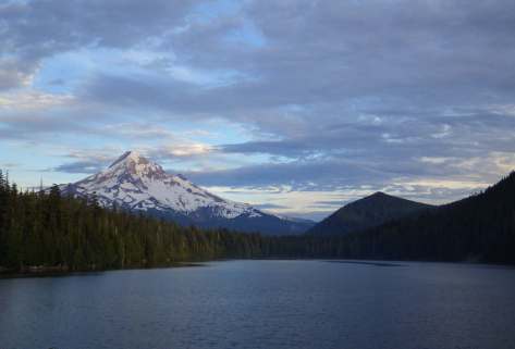
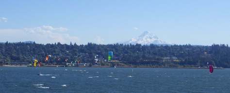
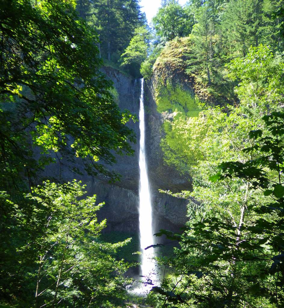
Columbia River Gorge National Scenic Area was created from riverside land that is part of Mt. Hood and Gifford Pinchot National Forests.  This river corridor was traditionally used by the Chinook, Warm Springs, and Yakama peoples that were drawn to the annual salmon runs.  The gorge stretches 80 miles to the Deschutes River, lined by steep basalt cliffs and many State Parks.  The Oregon side is famous for its waterfalls fed by snowy Mt. Hood, the 11,249-foot-tall stratovolcano that rises to the south.  The town of Hood River is considered the “Windsurfing Capital of the World” with many options for gear rentals and lessons.

Highlights

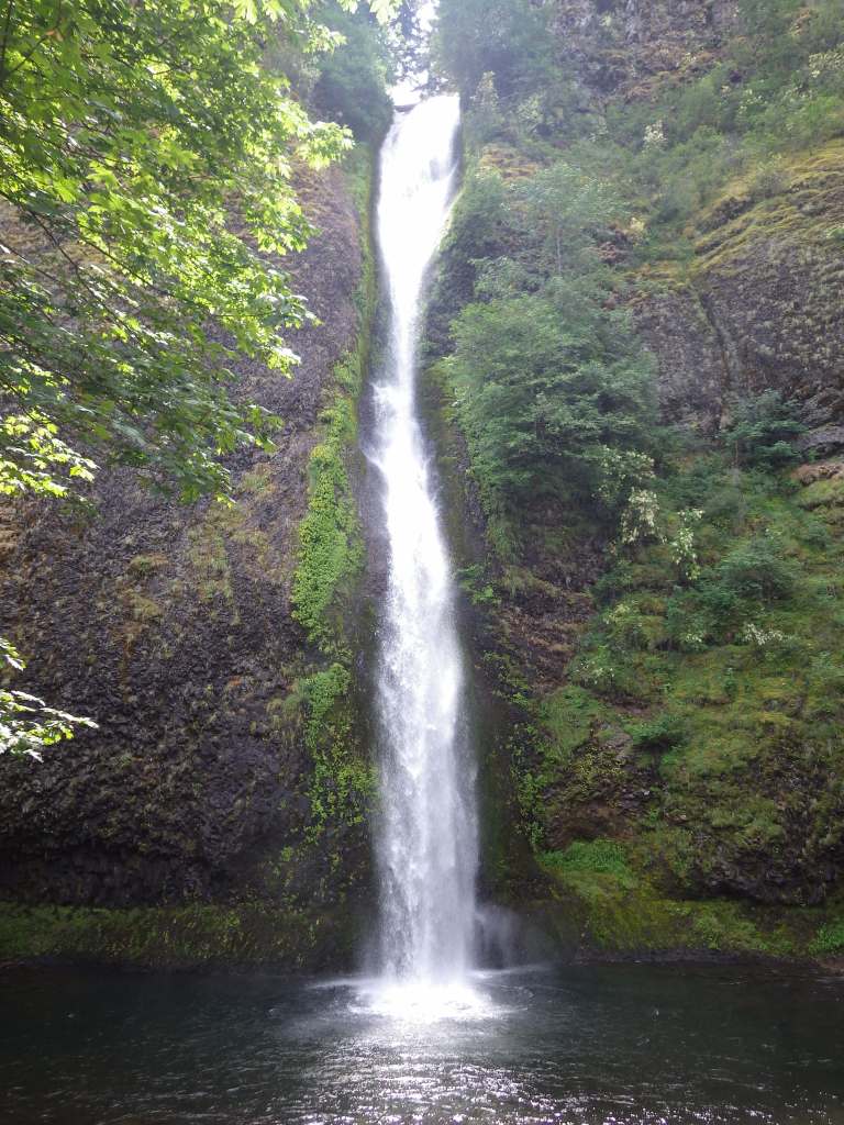
Historic Columbia River Highway, Multnomah Falls, Vista House, Dog Mountain, Bonneville Fish Hatchery, Horsetail Falls, Wahclella Falls Trail, Lewis and Clark National Historic Trail

Must-Do Activity

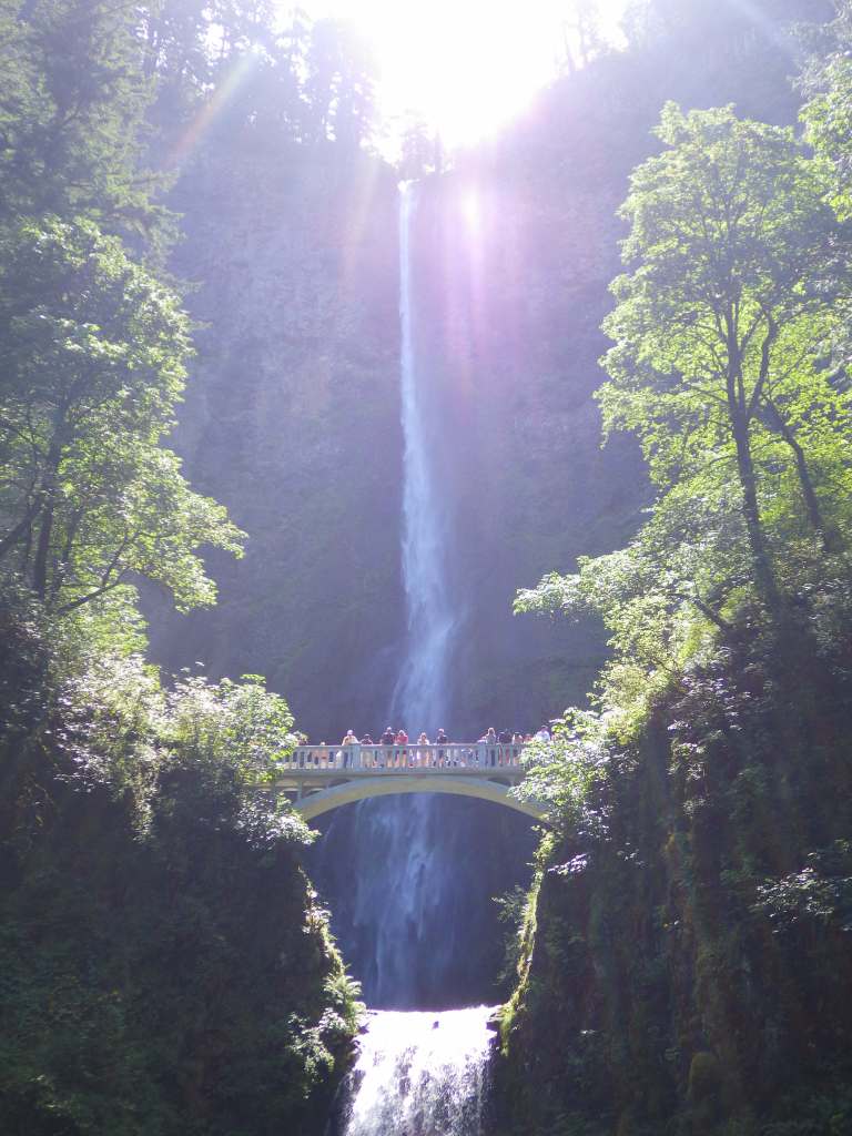
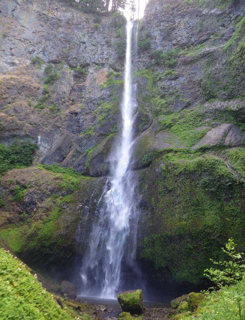
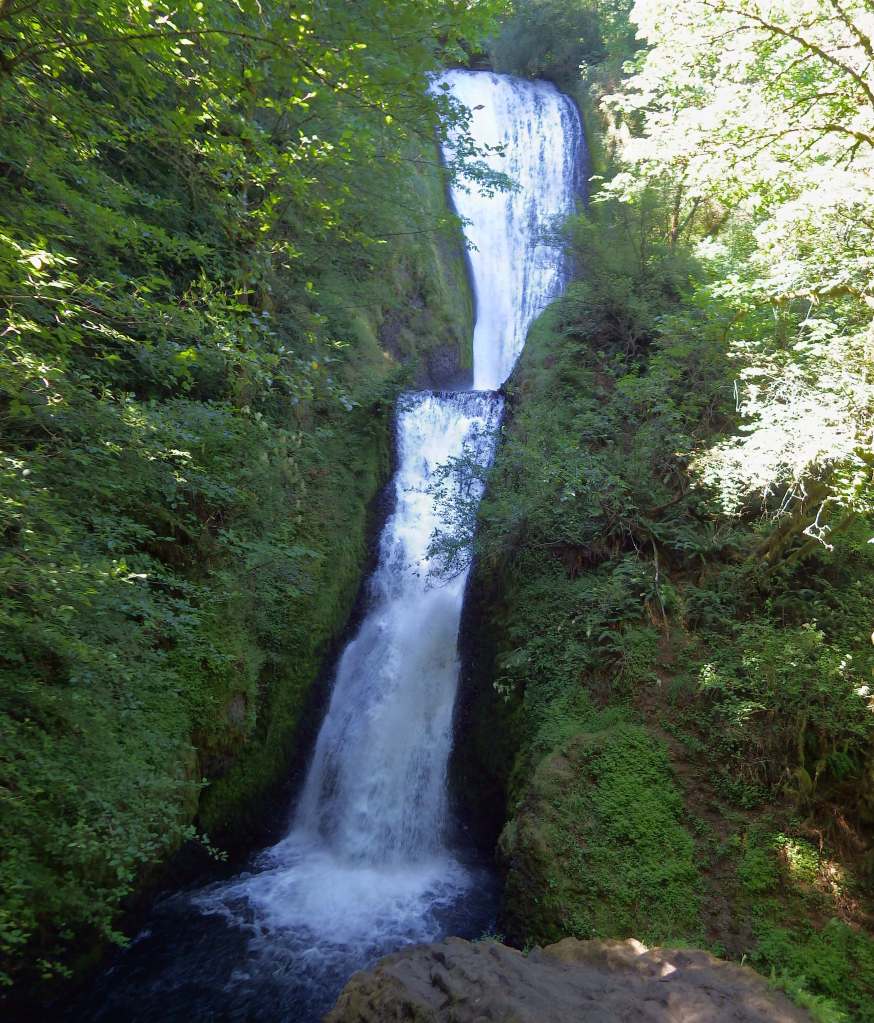
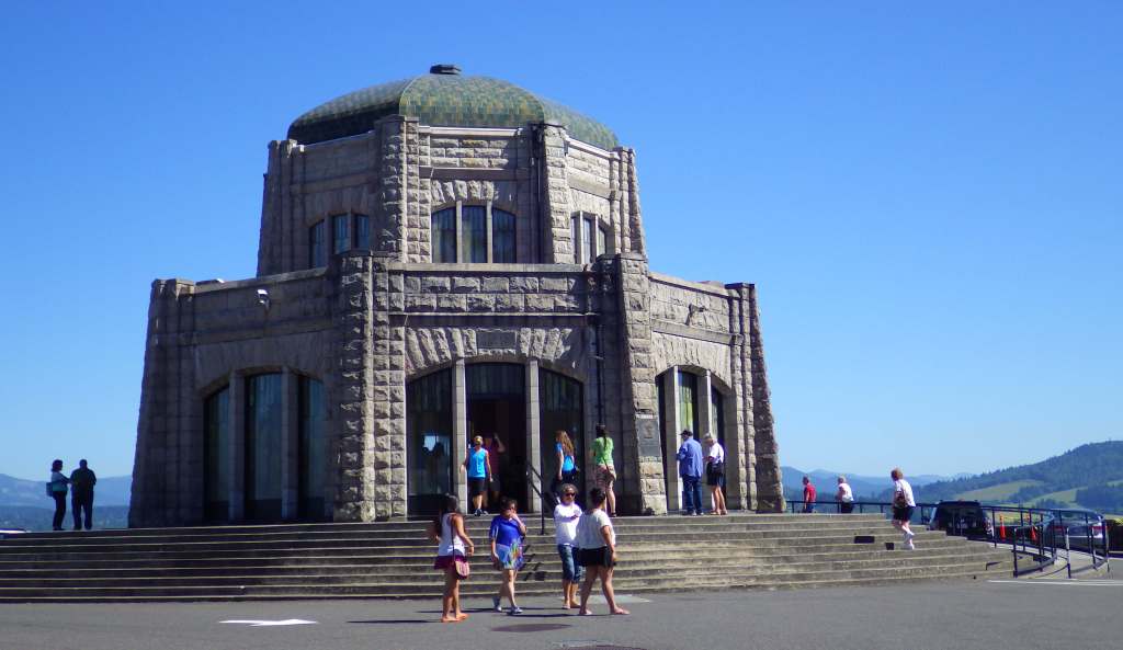
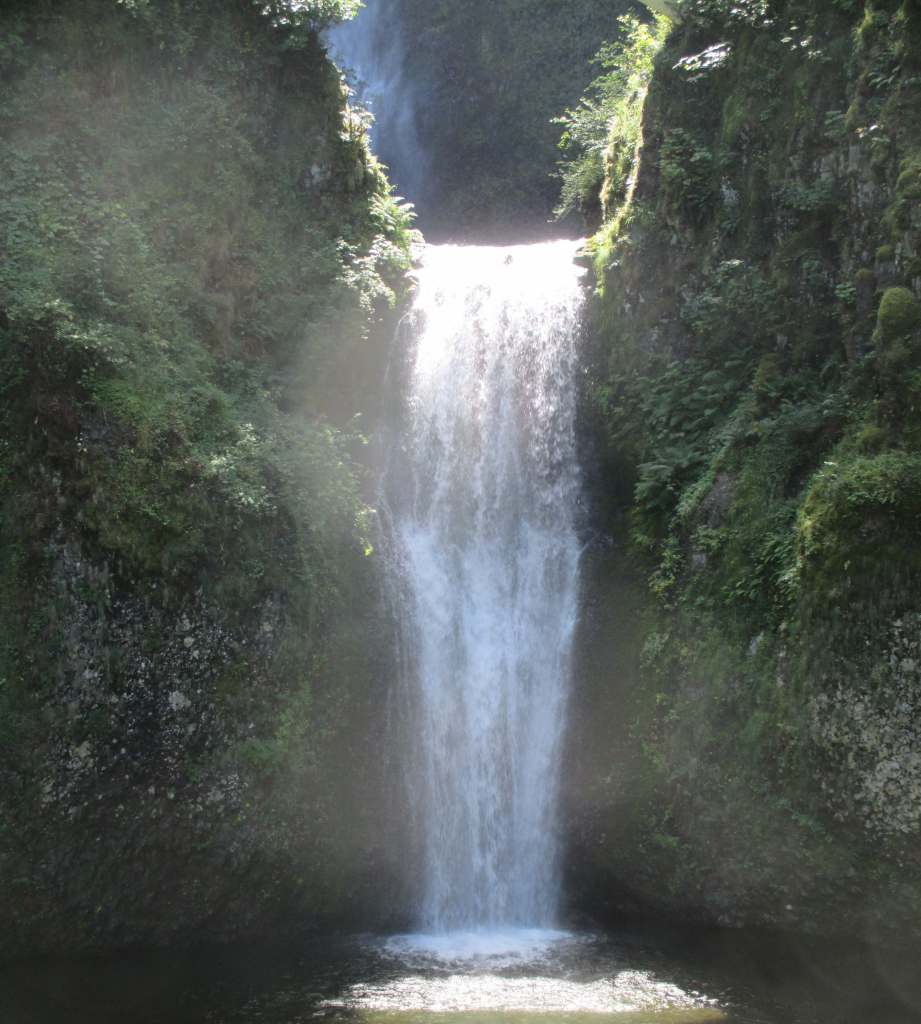
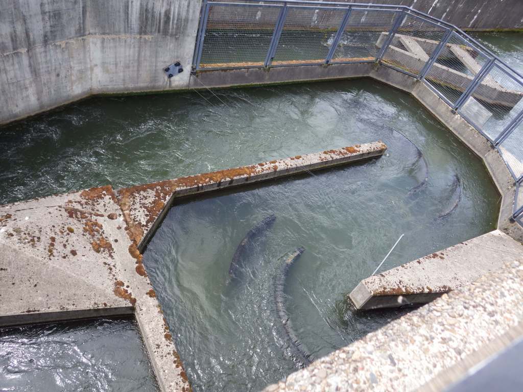
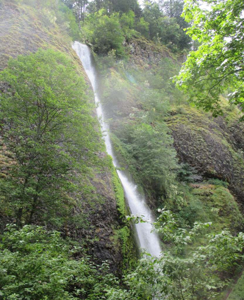
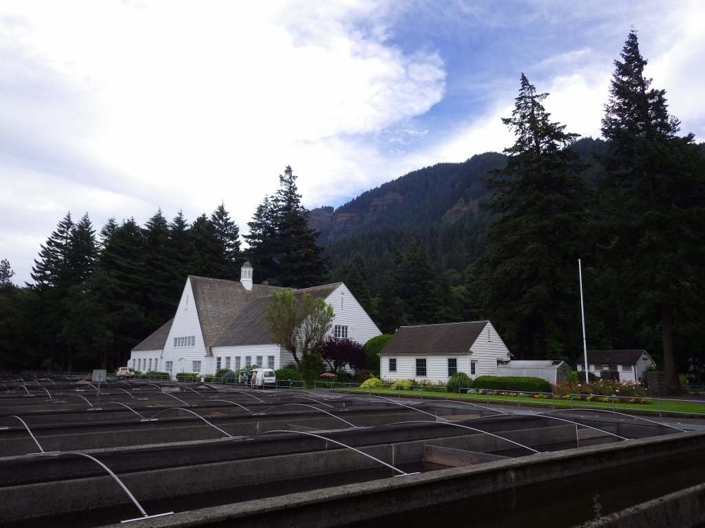
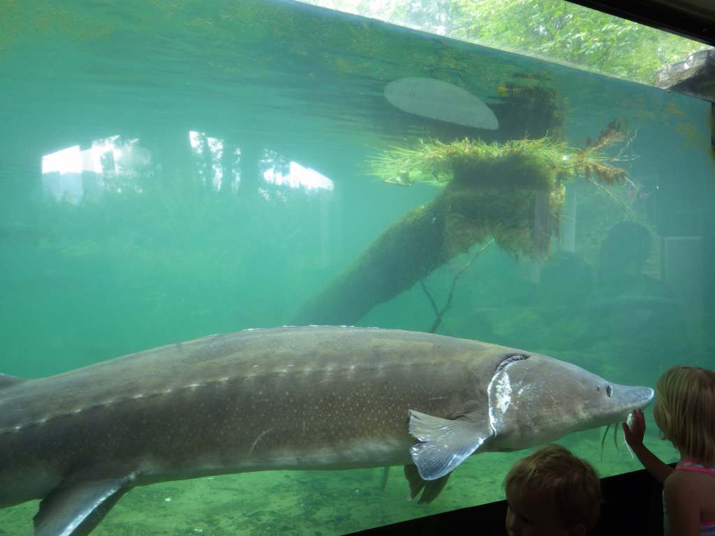
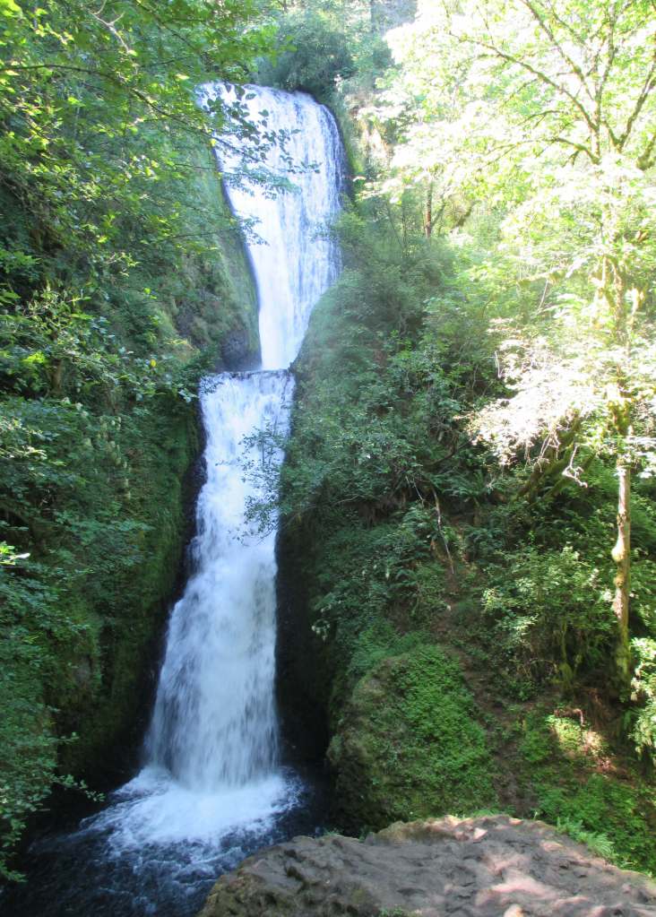
Two-tiered Multnomah Falls drops 620 feet and is the most famous waterfall on the Historic Columbia River Highway, enough so that a timed permit is now required to park May through early September.  As of 2025, a parking permit is also required at Vista House, built in 1918 on a rocky point 693 feet above the Columbia River (see Fees below).  To get a break from the traffic, consider parking and hiking.  Wahclella Falls Trail is 2.4 miles out-and-back through a slot canyon to a 350-foot-tall two-tiered plunge (which hopefully reopens soon after it suffered extensive damages during December 2025 storms).  Eagle Creek Trail goes 1.9 miles one-way to Punch Bowl Falls (honestly, there are so many good hiking options to choose from, so check out this website: https://gorgefriends.org/find-a-hike).  Bonneville Fish Hatchery is free and home to Herman the Sturgeon who is 10 feet long, 500 pounds, and more than 80 years old.

Best Trail

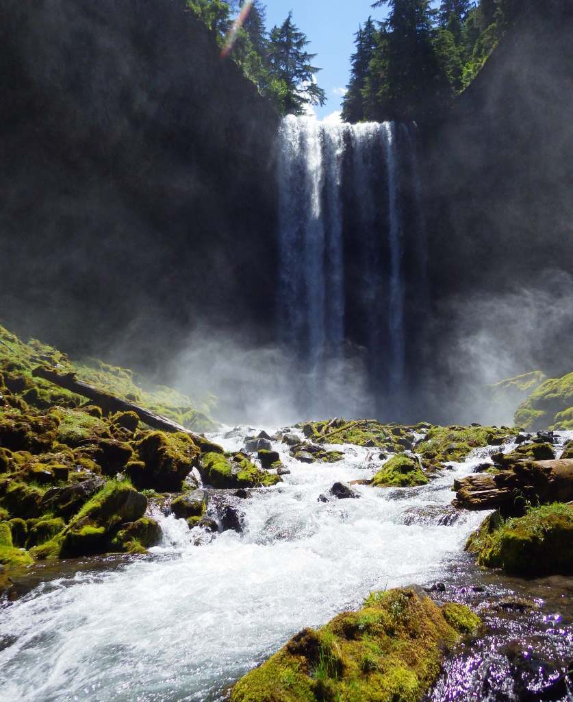
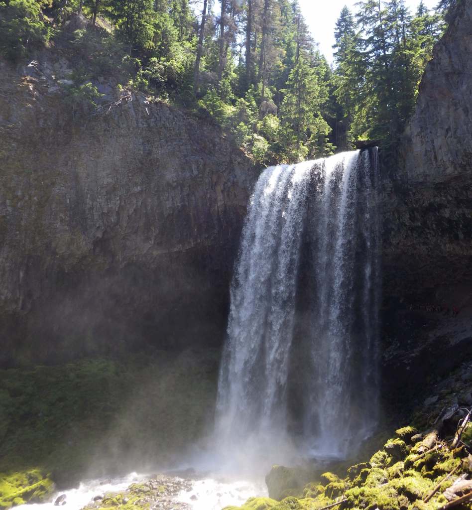
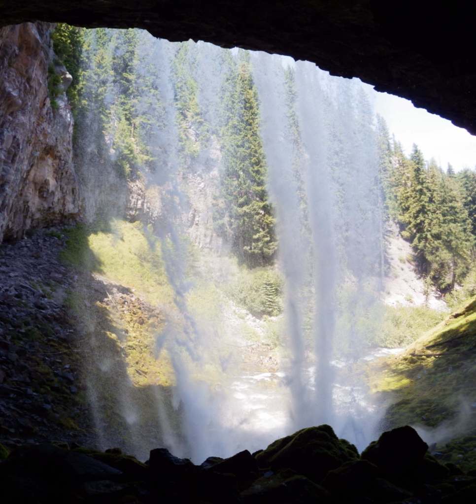
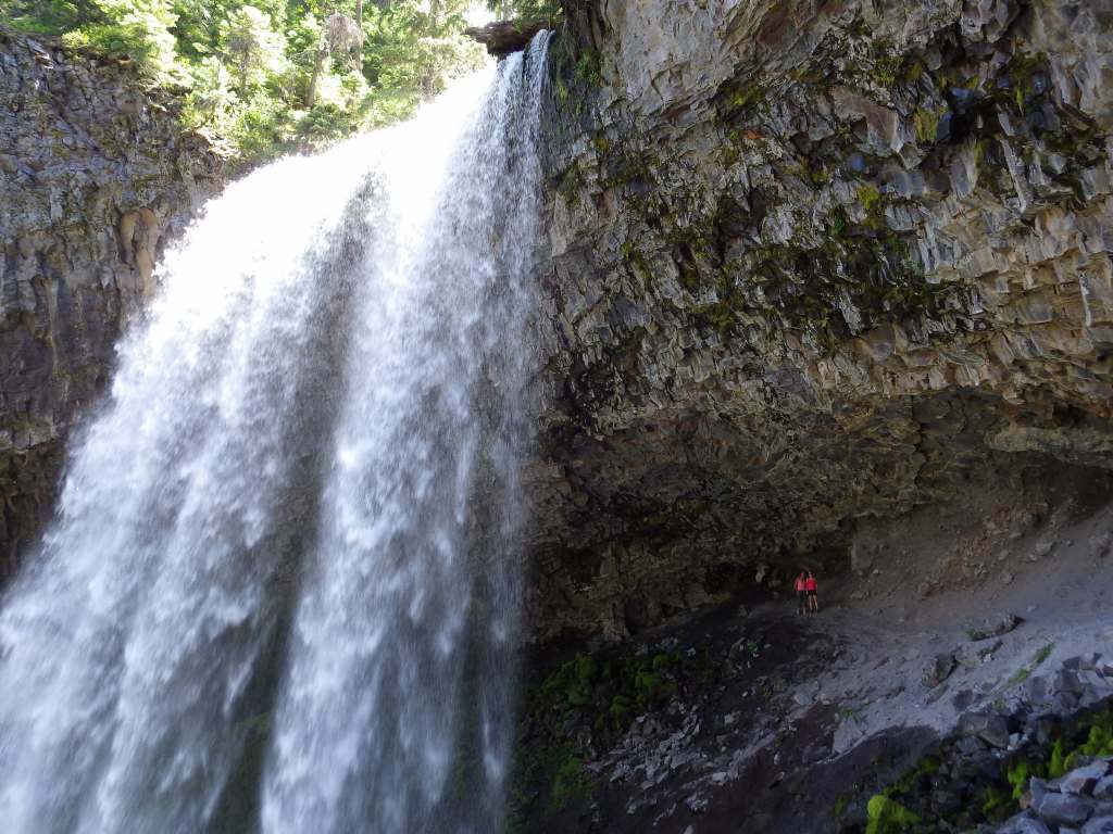
Oneonta Trail is 3.2 miles roundtrip with an elevation gain of 425 feet to Ponytail Falls that you can walk behind.  An additional 1.8 miles and 300 feet of climbing will take hikers to Triple Falls.  At the same trailhead located near Horsetail Falls, the once popular route through Oneonta Gorge slot canyon has been closed due to a dangerous logjam following the 2017 Eagle Creek Fire.  Dog Mountain is famous for its spring wildflower bloom, so a $2 parking reservation (or a free shuttle) is required on weekends from April through early June. 

Photographic Opportunity

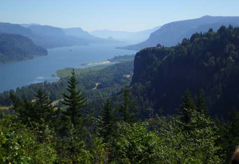
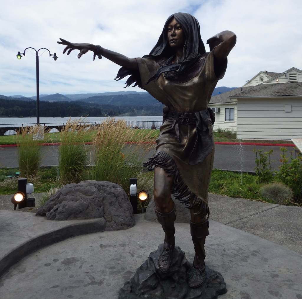
Women’s Forum State Scenic Viewpoint (or Chanticleer Point) is still free, which provides a photographic point looking east that includes Vista House. 

Peak Season

Spring

Fees

$5 Northwest Forest Pass (or America the Beautiful pass) required at many U.S. Forest Service trailheads.  Crown Point State Scenic Corridor at Vista House requires an annual state park pass or a parking fee of $10 per vehicle for Oregon residents and $12 for non-residents. 

Road Conditions

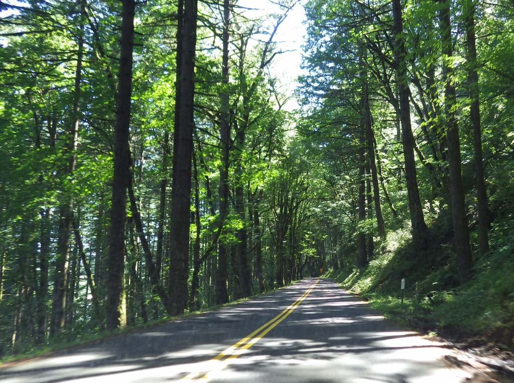
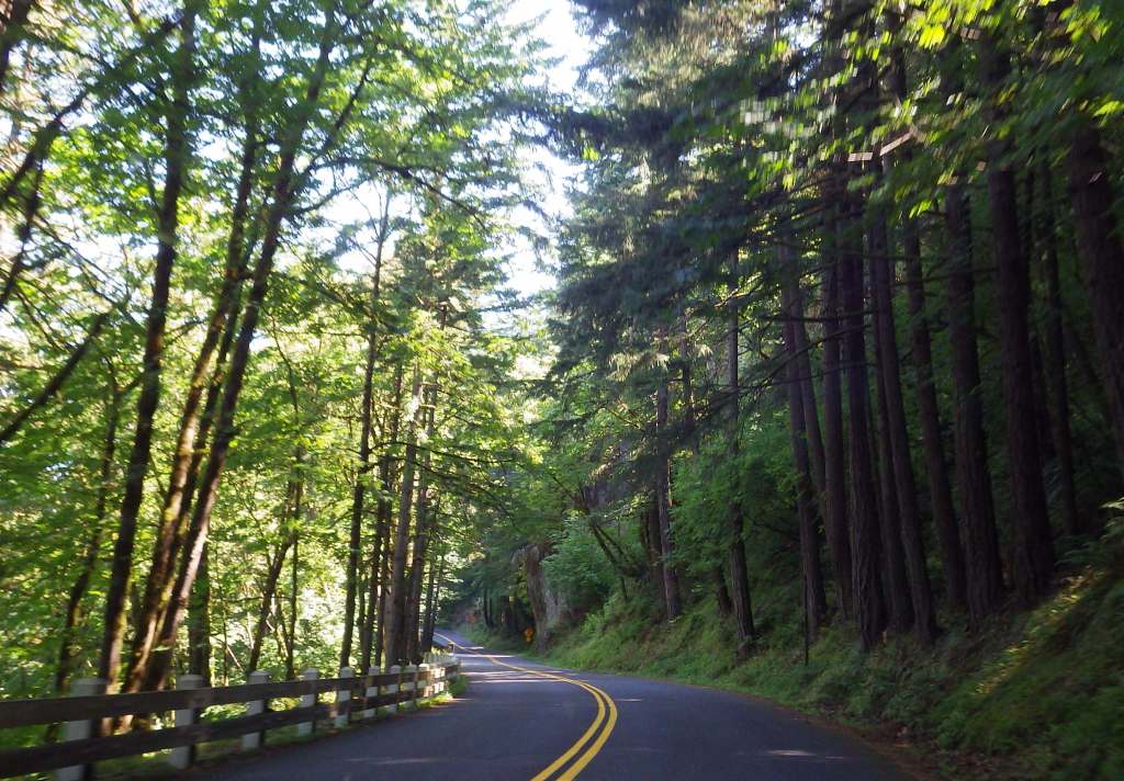
Interstate 84 runs along the Oregon side of the gorge with limited exits and State Route 14 follows the river on the Washington side.  Before departing, check for road closures on the Historic Columbia River Highway.

Camping

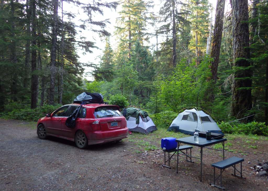
Wyeth Campground is the only one directly within the National Scenic Area, but there are several campgrounds north and south of the Columbia River in Gifford Pinchot and Mt. Hood National Forests.

Related Sites

Lewis and Clark National Historical Park (Oregon-Washington)

Fort Vancouver National Historic Site (Washington)

Mt. Hood National Recreation Area (Oregon)

Deschutes National Forest (Oregon)

Nearest National Park

Mount Rainier

Explore More – When did the Chanticleer Inn burn down, opening Chanticleer Point to be purchased by the Portland Women’s Forum and donated to the state of Oregon in 1962?

Know someone who loves the National Forests? Gift them our travel guidebook Out in the Woods so they can learn more about all 155 National Forests.
Vermilion Cliffs National Monument

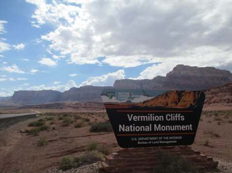
Vermilion Cliffs National Monument

Arizona

Managed by Bureau of Land Management

Established 2000

279,566 acres

Website: https://www.blm.gov/national-conservation-lands/arizona/vermilion-cliffs

Overview

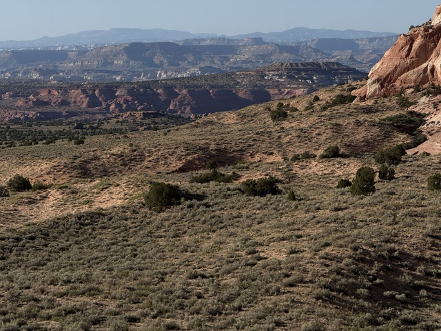
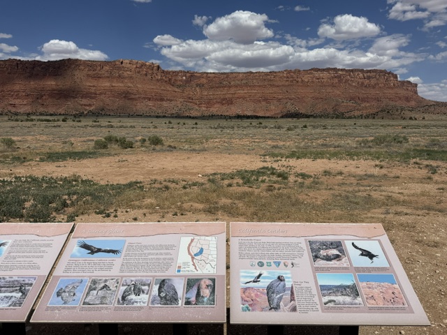
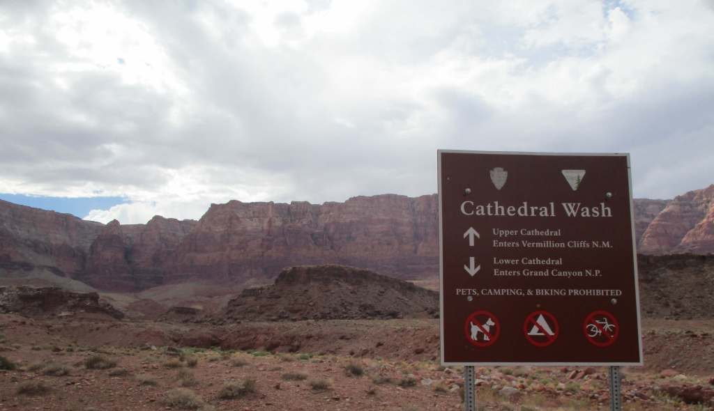
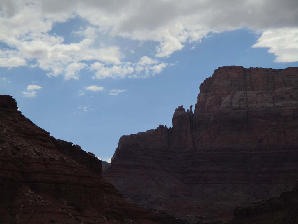
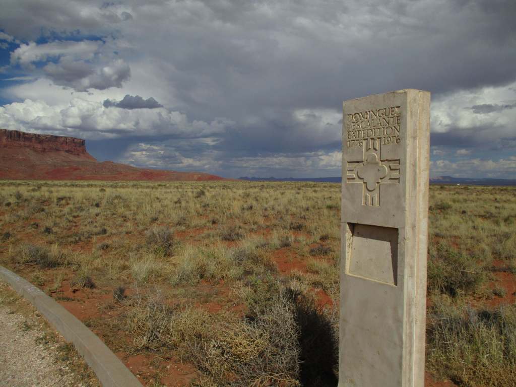
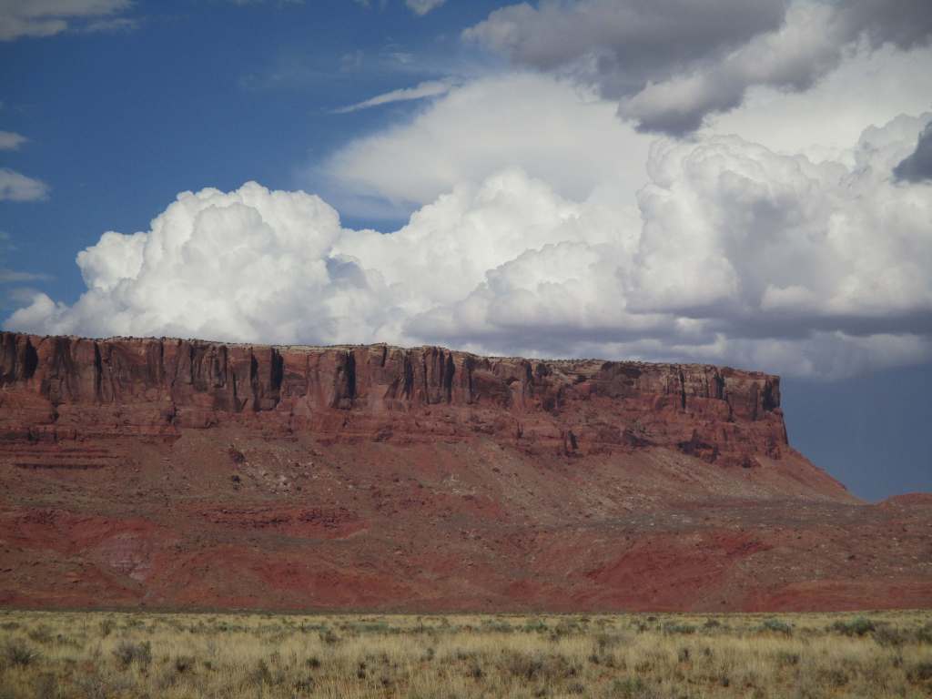
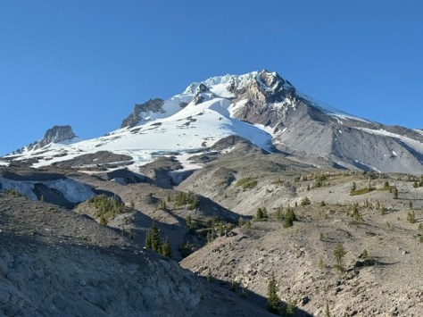
The Vermilion Cliffs are a red sandstone escarpment that rises 3,000 feet above the plains north of Arizona’s Grand Canyon (and they especially glow vermilion at sunrise and sunset).  This undeveloped geologic wonderland is a colorful mixture of sandstone, siltstone, limestone, and shale.  The cliffs create thermals perfect for 20 species of raptors, including bald eagles, golden eagles, peregrine falcons, and endangered California condors that were first reintroduced here in 1996.   

Highlights

Coyote Buttes North (The Wave), Maze Rock Art Site, White Pocket, Paria River Canyon

Must-Do Activity

There are several visitor centers to get information about the National Monument, including at Navajo Bridge on Highway 89A and the seasonal Paria Contact Station off Highway 89, as well as Bureau of Land Management (BLM) offices in Utah at Kanab, St. George, and Big Water.  Guided tours are available to White Pocket (no permit required) if you do not want the challenge of driving the sandy roads.

Best Trail

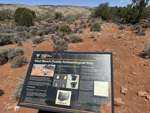
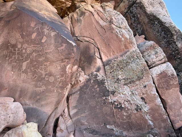
It is a 1.4-mile roundtrip hike to the petroglyphs at the Maze Rock Art Site off House Rock Valley Road that may be more than 1,000 years old.  Backpacking 38-mile-long Paria Canyon is a world-famous route that ends at Lees Ferry in Glen Canyon National Recreation Area.  Permits are required to overnight, and most thru-hikers set out from White House Trailhead within Utah’s Grand Staircase–Escalante National Monument to avoid the slot canyons on Wire Pass Trail or Buckskin Gulch Trail (which often has waist deep mud).

Photographic Opportunity

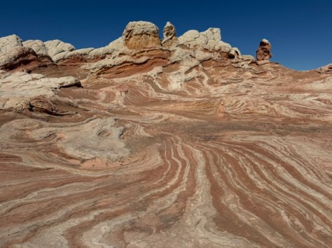
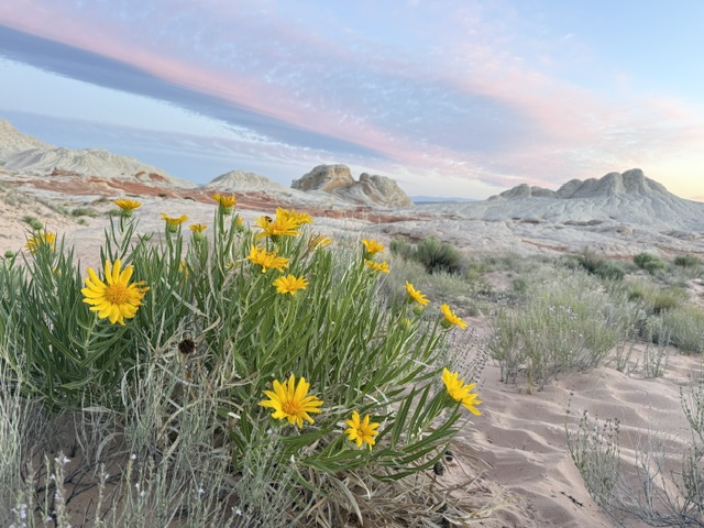
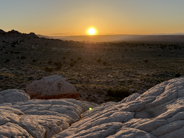
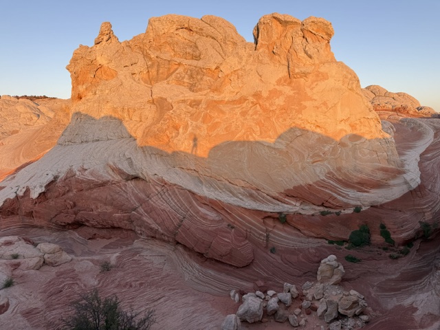
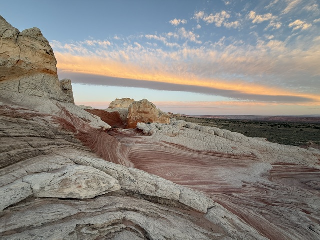
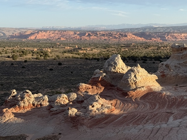
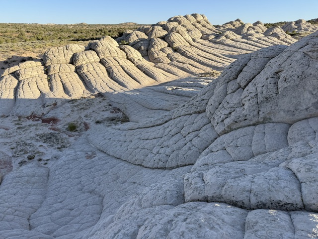
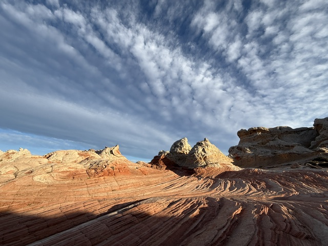
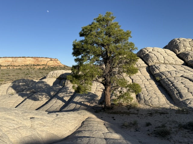
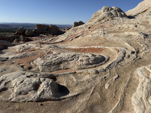
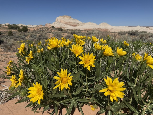
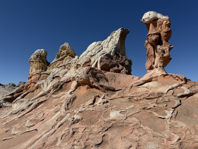
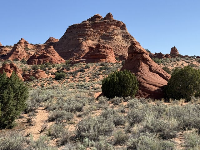
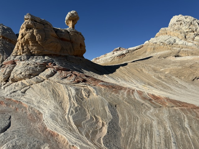
Coyote Buttes North (The Wave) is one of the most sought-after photography locations in the U.S., but most of us will never win that lottery.  Here is a similarly beautiful sandstone formation in White Pocket, which is open to visit by anyone with a 4×4 that can get through miles of deep sand (or hire a guide to drive).

Peak Season

Spring and fall

Hours

https://www.blm.gov/visit/kanab-visitor-center

Fees

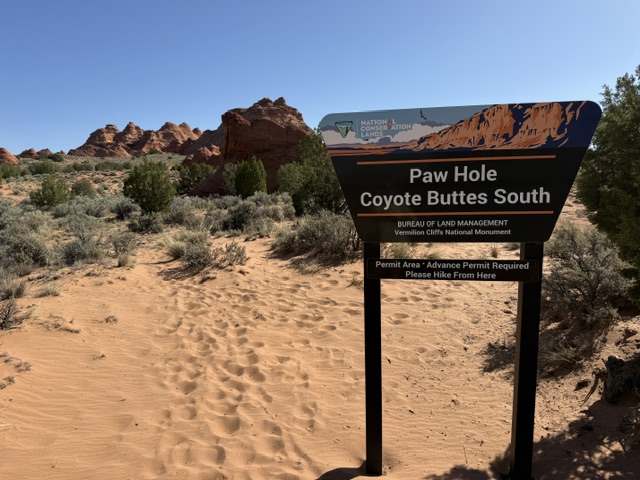
No entrance fee, but a $9 online lottery entry and $7 permits for each person and dog apply for Coyote Buttes North (The Wave), they cost slightly less for Coyote Buttes South and Paria River Canyon

Road Conditions

House Rock Valley Road (BLM 700) runs 30 miles between Highways 89 and 89A to the south, crossing several washes, but it is passable with a passenger vehicle when dry.  Most of the roads running east from House Rock Valley Road require four-wheel drive due to deep sand (including access to White Pocket).

Camping

Dispersed camping is allowed in most of Vermilion Cliffs National Monument, and the BLM runs the free Stateline Campground (that is the official northern terminus of the Arizona National Scenic Trail) on the northern border and White House Campground (fee) in Utah. 

Related Sites

Grand Staircase–Escalante National Monument (Utah)

Kaibab National Forest (Arizona)

Pipe Spring National Monument (Arizona)

Baaj Nwaavjo I’tah Kukveni – Ancestral Footprints of the Grand Canyon National Monument (Arizona)

Nearest National Park

Grand Canyon

Explore More – The Vermilion Cliffs are called as Angkar Mukwanikant in what indigenous language?

Mt. Baker National Forest

Mt. Baker National Forest

Washington

Managed by U.S. Forest Service, Pacific Northwest Region

1,330,316 acres (1,302,215 federal/ 28,101 other)

Website: https://www.fs.usda.gov/r06/mbs

Overview

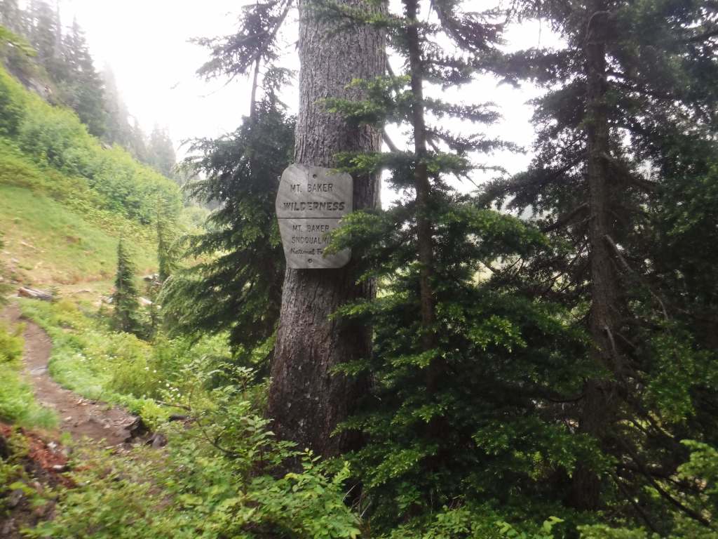
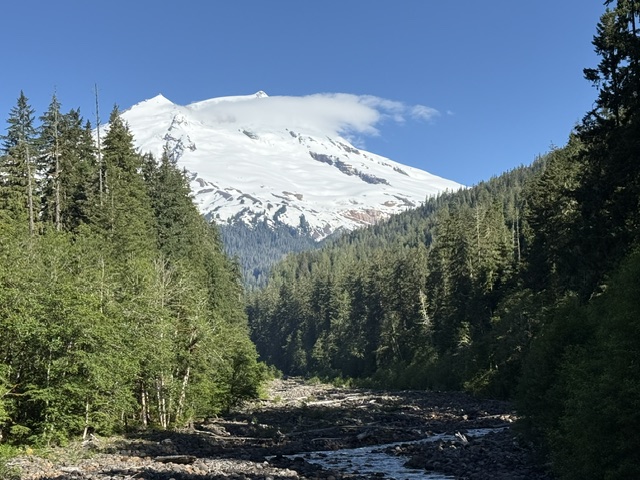
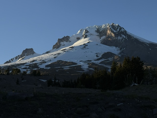
Mt. Baker National Forest’s namesake is the 10,781-foot glacier-covered stratovolcano that dominates the skyline of northwest Washington.  It is surrounded by the 119,989-acre Mt. Baker Wilderness and the specially designated 8,473-acre Mt. Baker National Recreation Area that allows snowmobiling on the southern slope.  About half of this National Forest is designated Wilderness, which also encompasses another active volcano within 566,057-acre Glacier Peak Wilderness.  In 1968, part of Mt. Baker National Forest turned into North Cascades National Park and five years later its remaining acres were administratively merged with Snoqualmie National Forest.

Know someone who loves the National Forests? Gift them our travel guidebook Out in the Woods so they can learn more about all 155 National Forests.

Highlights

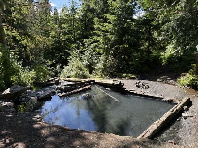
Mt. Baker National Recreation Area, Heather Meadows, Glacier Public Service Center, Nooksack Falls, Mountain Loop Scenic Byway, Baker Hot Springs, Boulder River Trail, Bagley Lakes Trails, Fire and Ice Trail, Baker Lake Trail, Pacific Northwest National Scenic Trail, Shadow of the Sentinels National Recreation Trail

Must-Do Activity

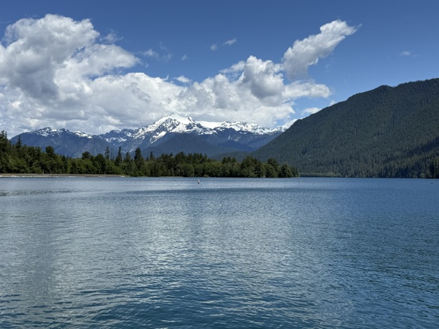
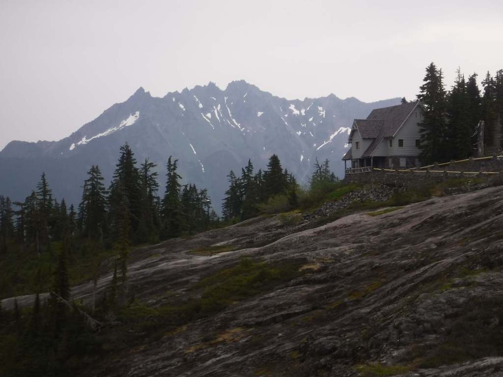
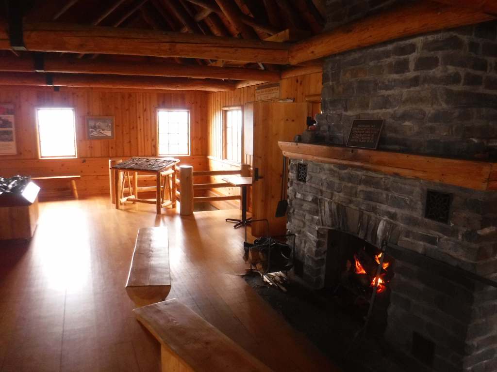
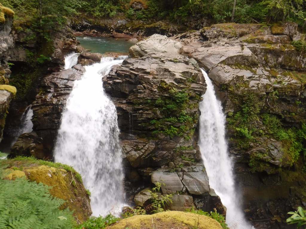
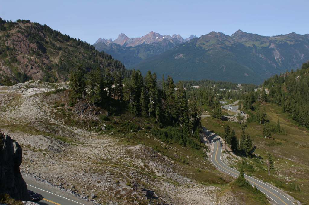
Mt. Baker Scenic Byway (Highway 542) passes Nooksack Falls as it heads east to Artist Point (open after snow melts).  Be sure to stop at photogenic Picture Lake and the Heather Meadows Visitor Center, built in the 1930s by the Civilian Conservation Corps (CCC).  A recreation pass is at most trailheads around nine-mile-long Baker Lake, a reservoir popular with campers and fishermen.  On the lake’s east side, boat-in or hike-in Maple Grove Campground provides amazing views of Mt. Baker on a clear day.

Best Trail

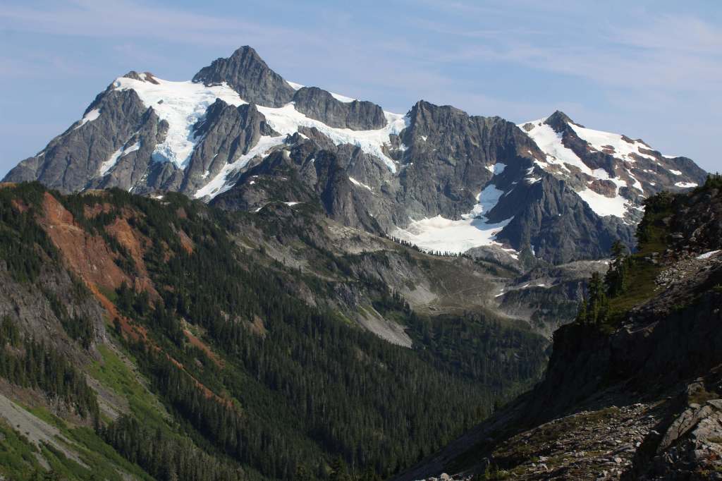
Mt. Baker Scenic Byway accesses several trailheads before dead ending in a huge parking lot at Artist Point, surrounded by snowy mountains.  Snow often covers the 4.2-mile one-way trail to Lake Ann well into July.  The first two miles share a path with the Pacific Northwest National Scenic Trail, dropping 800 feet to a junction with Swift Creek Trail.  From there, a 700-foot climb begins to Lake Ann, a popular destination for backpackers within Mt. Baker Wilderness, which in addition to the normal restrictions prohibits campfires and requires all human waste to be packed out.  On clear days, the payoff is unsurpassed views of Mt. Baker and Mt. Shuksan, a 9,131-foot peak in North Cascades National Park reached by continuing up the trail.

Watchable Wildlife

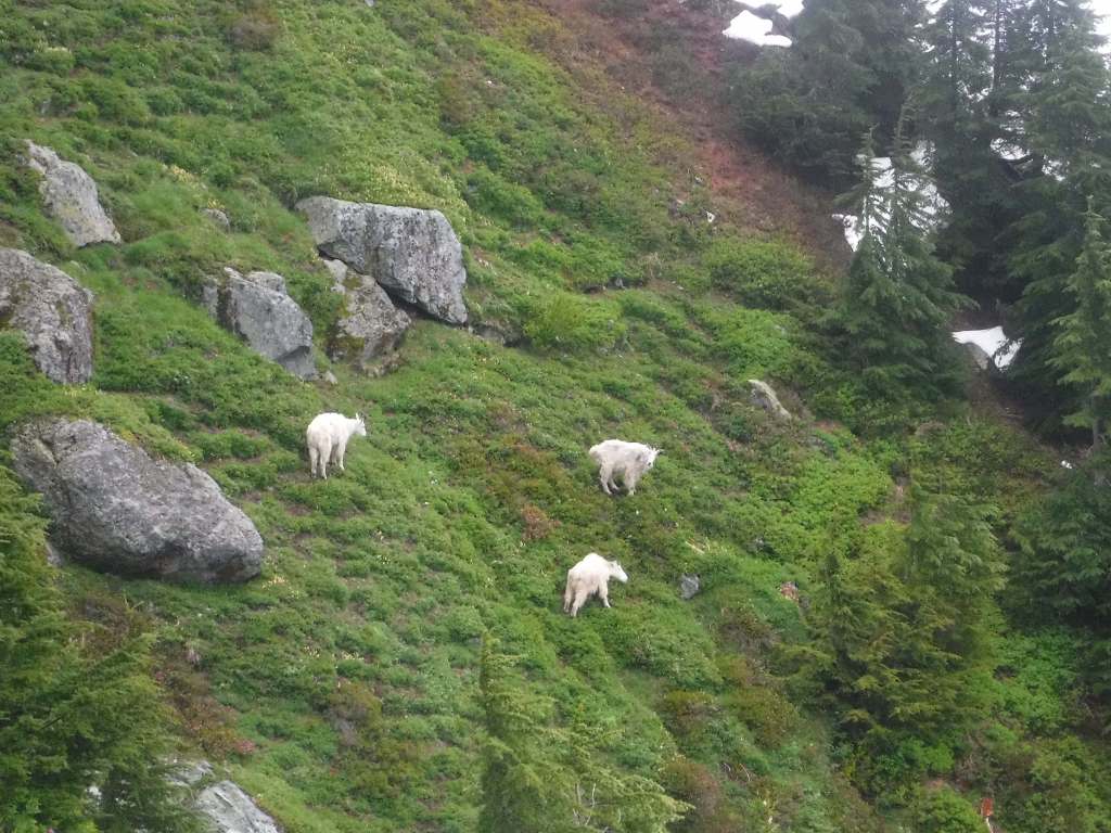
Mountain goats can be seen at high elevations, alongside marmot, pika, and snowshoe hare.  Other large mammals include black bears, mountain lions, bobcats, Columbian black-tailed deer, and elk.  In 1978, the Skagit Wild and Scenic River System was established along 125 miles of rivers, providing habitat for one of the nation’s largest winter populations of bald eagles.  Two types of sea-run trout and five species of salmon are anadromous fish found in the lakes and streams.

Photographic Opportunity

Picture Lake near the Heather Meadows Visitor Center creates wonderful reflections of the surrounding snowy mountains.  Plus, it is a good spot for huckleberries in September. 

Peak Season

Summer

Fees

$5 Northwest Forest Pass (or America the Beautiful pass) required at the end of Mt. Baker Highway and at trailheads around Baker Lake; Washington State Sno-Park permit is required November 1 through April 30 at some sites

Road Conditions

Mt. Baker Highway (542) received the National Forest Scenic Byway designation in 1988.  The 57-mile-long paved route from Interstate 5 is open most of the year between Bellingham and Mt. Baker Ski Area, but it is usually closed beyond that from October well into July because of heavy snowfall.

Camping

There are several campgrounds around Baker Lake, including the boat-in or hike-in Maple Grove Campground.  Marble Creek and Mineral Park are two free campgrounds on the Cascade River Road.  There are no campgrounds in the Heather Meadows area, but at lower elevations on the Mt. Baker Scenic Byway are Douglas-Fir and Silver Fir Campgrounds.

Wilderness Areas

Alpine Lakes Wilderness (also in Wenatchee National Forest)

Boulder River Wilderness

Clearwater Wilderness

Glacier Peak Wilderness (also in Wenatchee National Forest)

Henry M. Jackson Wilderness (also in Wenatchee National Forest)

Mt. Baker Wilderness

Noisy-Diobsud Wilderness

Norse Peak Wilderness

Pasayten Wilderness (also in Okanogan National Forest)

Wild Sky Wilderness

Related Sites

Ross Lake National Recreation Area (Washington)

Lake Chelan National Recreation Area (Washington)

Ebey’s Landing National Historical Reserve (Washington)

Gifford Pinchot National Forest (Washington)

Nearest National Park
North Cascades

Conifer Tree Species

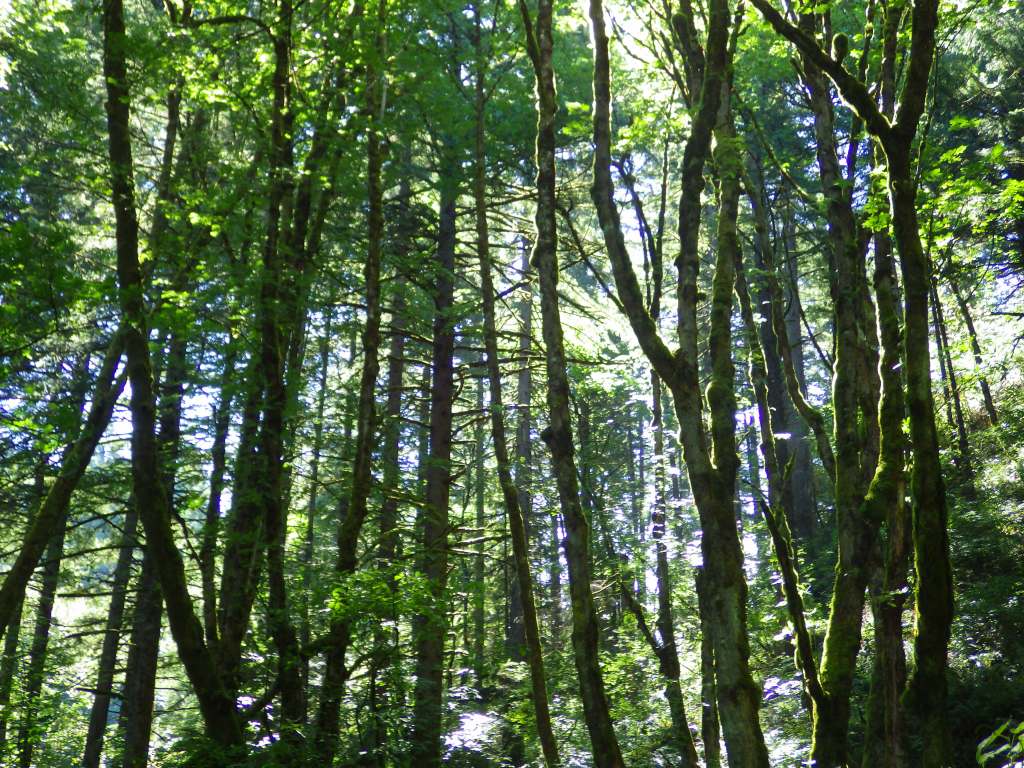
Douglas-fir, western hemlock, mountain hemlock, Pacific silver fir, western redcedar, yellow-cedar, Pacific yew

Flowering Tree Species

bigleaf maple, vine maple, black cottonwood

Explore More – When was this area first protected within the 3,594,240-acre Washington Forest Reserve?

Learn more about this and the 154 other National Forests in our guidebook Out in the Woods

Coronado National Forest

Coronado National Forest

Arizona

Managed by U.S. Forest Service, Southwestern Region

1,859,807 acres (1,786,620 federal/ 73,187 other)

Website: https://www.fs.usda.gov/coronado

Overview

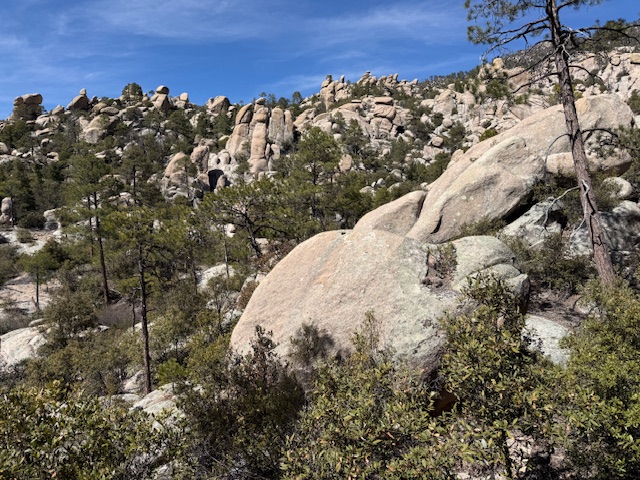
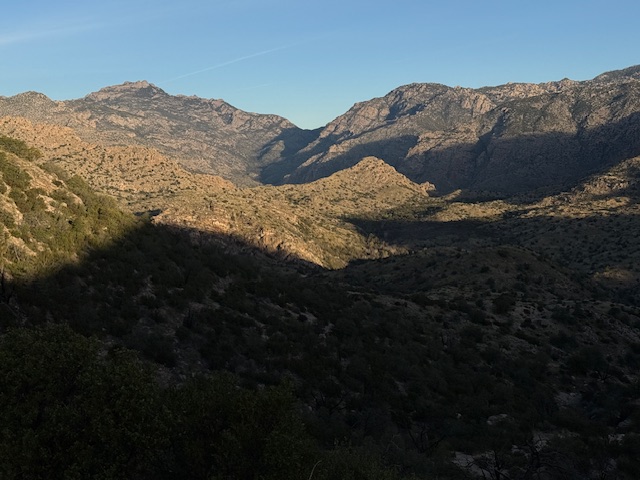
Coronado National Forest is sprinkled across the southeastern Arizona landscape, encompassing many forested “sky islands” that rise above the surrounding Sonoran Desert.  The isolation of these ranges has led to the evolution of some endemic species of plants and animals unique to this region.  That isolation also allows for clear night skies, so there are several peaks with astronomical observatories.  The most visited portion of the forest is the Santa Catalina Mountains, easily accessible along the paved 35-mile-long Catalina Highway east of Tucson, Arizona. 

Know someone who loves the National Forests? Gift them our travel guidebook Out in the Woods so they can learn more about all 155 National Forests.

Highlights

Catalina Highway, Sabino Canyon Recreation Area, Mt. Lemmon, Windy Point, Madera Canyon, Sky Island Scenic Byway, Mt. Graham, Onyx Cave, Madera Canyon, Mt. Hopkins Observatory, Pena Blanca Lake, Ramsey Canyon, Miller Peak, Cochise Stronghold

Must-Do Activity

The Santa Catalina Mountains offer many recreational opportunities, from road biking to downhill skiing at the top of 9,157-foot Mt. Lemmon (the southernmost ski area in the U.S.).   The scenic beauty and expansive vistas along the Catalina Highway are worth the many switchbacks, and you might drive past some of the most famous triathletes in the world who train here in the winter.  The drive ascends through multiple life zones from saguaro-dotted desert to ponderosa pine forest.  At the base of the Santa Catalina Mountains is the busy Sabino Canyon Recreation Area (fee).

Best Trail

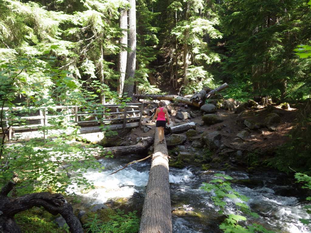
Box Camp Trail is special to us as it was the site of our first date, marriage proposal, and wedding ceremony.  Over the course of 13 miles, Box Camp Trail drops 5,000 feet in elevation from ponderosa pine forest through pinyon-juniper woodland to the desert of Sabino Canyon dominated by saguaro cacti.  The rugged trail disappears in places, but offers incredible views along the way.  Route finding is required as the trail is somewhat overgrown (with downed trees from wildfires), plus the one-way hike requires two cars, one left at Sabino Canyon Recreation Area and one at the trailhead on the Catalina Highway. 

Watchable Wildlife

The Sonoran Desert is home to numerous unique wildlife species from roadrunners to Coues white-tailed deer.  Many of the animals are nocturnal to avoid the heat of the day, including ringtails (or ring-tailed cats), kangaroo rats, and javelinas (or collared peccaries).  The “sky islands” provide habitat for black bears, coyotes, skunks, mountain lions, bobcats, pronghorns, mule deer, and elk.  Sabino Canyon Recreation Area is known for its coatis, relatives of raccoons that typically travel in packs.

Instagram-worthy Photo

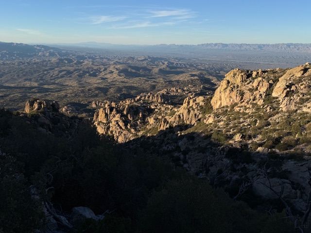
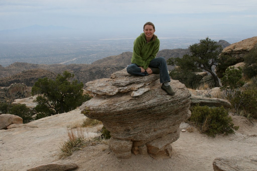
Windy Point is a spectacular overlook along the Catalina Highway in the pinyon-juniper woodland zone.  Not a bad spot for wedding photos, if we do say so ourselves.

Peak Season

Spring and fall

Fees

There is a fee to park at Sabino Canyon Recreation Area, plus a charge for the tram ride. Check the USFS website for details.

Road Conditions

The paved Catalina Highway is sometimes closed due to snow and ice in the winter.  There are some rough roads in this part of the Sonoran Desert, and especially be aware of the potential for flash flooding.

Camping

There are designated campgrounds along the Catalina Highway and throughout Coronado National Forest.  We dispersed camped near Dragoon Springs Station south of Interstate 10, but the access roads were in bad shape.

Wilderness Areas

Chiricahua Wilderness

Galiuro Wilderness

Miller Peak Wilderness

Mount Wrightson Wilderness

Pajarita Wilderness

Pusch Ridge Wilderness

Rincon Wilderness

Santa Teresa Wilderness

Related Sites

Coronado National Memorial (Arizona)

Tumacácori National Historical Park (Arizona)

Chiricahua National Monument (Arizona)

Nearest National Park
Saguaro

Conifer Tree Species

two-needle pinyon pine, alligator juniper, ponderosa pine, Chihuahua pine, Apache pine

Flowering Tree Species

Emory oak, Arizona oak, Mexican blue oak, Arizona rosewood, black alder, Arizona walnut, velvet ash, Arizona sycamore, quaking aspen

Explore More – Who was the famous ecologist that studied the similarity of increasing elevation to increasing latitude more than a century ago in the Santa Catalina Mountains?

Learn more about this and the 154 other National Forests in our guidebook Out in the Woods
Katmai National Park and Preserve

Katmai National Park and Preserve

Alaska

Managed by National Park Service

Established 1918 National Monument, 1980 National Park

3,674,529 acres

Website: nps.gov/katm

Overview

Katmai National Monument was created after the Novarupta Volcano erupted in 1912 (an event recorded in the skinny tree rings grown throughout Alaska that year).  Ash fell in Seattle (1,500 miles away) and piled up to 700 feet deep in the Valley of Ten Thousand Smokes.  The valley is no longer smoking, but it is there are still 15 active volcanoes within the park’s boundaries.  This remote park on the Alaska Peninsula has few roads and is only accessible by airplane (typically equipped with floats for water landings).  Oh yeah, and there are lots of grizzly bears, or brown bears as they are called in coastal areas of Alaska.
Highlights

Brooks Falls, North Arm of Naynek Lake, Hallo Bay, Valley of Ten Thousand Smokes, Baked Mountain Huts, Savonoski Loop

Must-Do Activity

The grizzly/brown bears of Brooks Falls are celebrities due to the annual Fat Bear Week vote for the chunkiest bear on social media.  Less famous are the bears that hang out around Hallo Bay on the coastline, eating grass and shellfish until the salmon arrive.  Regardless of your destination, flights from road-accessible portions of Alaska (like Homer and Kenai) can be quite costly.  Most of the approximately 50,000 annual visitors come only for a day trip, although there are three expensive lodges and a campground in the park.

Best Trail

Brooks Falls Trail connects the Lower River Bear Viewing Platform 1.2 miles to the Falls and Riffles Platforms at Brooks Falls.  Near the visitor center, the short Cultural Site Trail visits a prehistoric camp and reconstructed dwelling.

Instagram-worthy Photo

Brooks Falls is a world-class destination for wildlife photographers from around the world, so you might want to bring along a camera with a good zoom lens if you pay to get there during the peak months of July and September. This photo is from Scott’s father (see more of his photos and paintings at Bruce Sink.com)

Peak Season

Summer

Hours

https://www.nps.gov/katm/planyourvisit/hours.htm

Fees

The National Park Service does not charge an entry fee, but it is very expensive to fly to Brooks Camp or Hallo Bay.

Road Conditions

There is a 23-mile long road that leads from Brooks Falls to the Valley of Ten Thousand Smokes and a daily eight-hour ranger-guided bus tour is available in the summer.  Backpackers can buy one-way tickets and explore the area, with the Baked Mountain Huts a popular destination 12 miles away across two difficult river crossings.

Camping

There are 60 sites at Brooks Camp Campground (reservations required prior to arrival), which is surrounded by an electric fence to keep bears out.

Related Sites

Kenai Fjords National Park (Alaska)

Lake Clark National Park and Preserve (Alaska)

Denali National Park and Preserve (Alaska)

Explore More – How many grizzly/brown bears are estimated to live within Katmai National Park and Preserve?

We are a participant in the Amazon Services LLC Associates Program, an affiliate advertising program designed to provide a means for us to earn fees by linking to Amazon.com and affiliated sites.