Manistee National Forest
Michigan
Managed by U.S. Forest Service, Eastern Region
1,331,673 acres (540,322 federal/ 791,351 other)
Website: https://www.fs.usda.gov/r09/huron-manistee
Overview
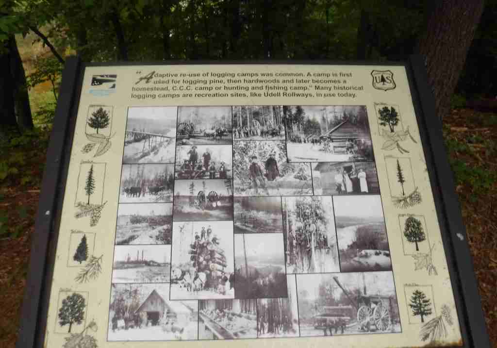
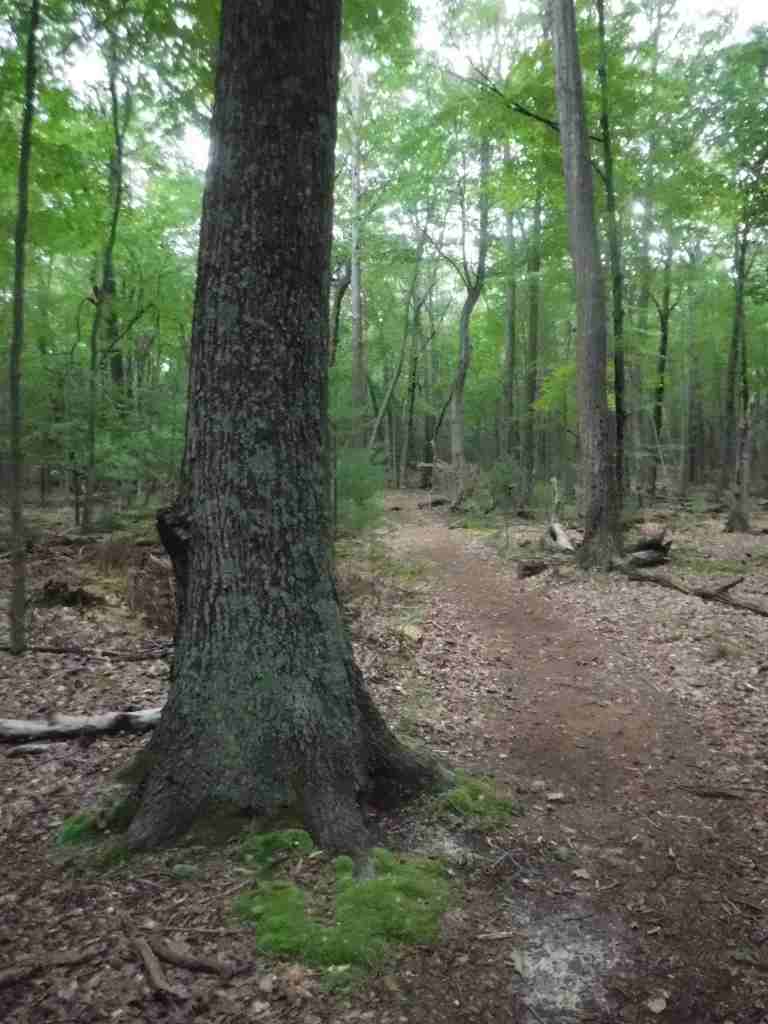
Even though they are on opposite sides of Michigan’s Lower Peninsula, Manistee and Huron National Forests have been co-managed since 1945. Only seven years earlier, Manistee National Forest was created from tax-forfeited lands and purchases of logged forests unsuitable for farming, so it is remains a mosaic of private and public lands. Much of this area was replanted by the Civilian Conservation Corps (CCC) and many of those trees are now very large. It contains the highest point on Michigan’s Lower Peninsula, 1,706-foot Briar Hill, which has no marked trails to the summit and obstructed views from the top. It is also home to Caberfae Peaks Ski Resort, which receives high accumulations of lake-effect snow and is one of the oldest ski resorts in the U.S. opened in 1938.
Know someone who loves the National Forests? Gift them our travel guidebook Out in the Woods so they can learn more about this and the 154 other National Forests.

Highlights
Pere Marquette National Scenic River, Nordhouse Dunes, Newaygo Prairies, Caberfae Winter Sports Area, Udell Rollways, Briar Hill, Manistee River Trail, North Country National Scenic Trail
Must-Do Activity
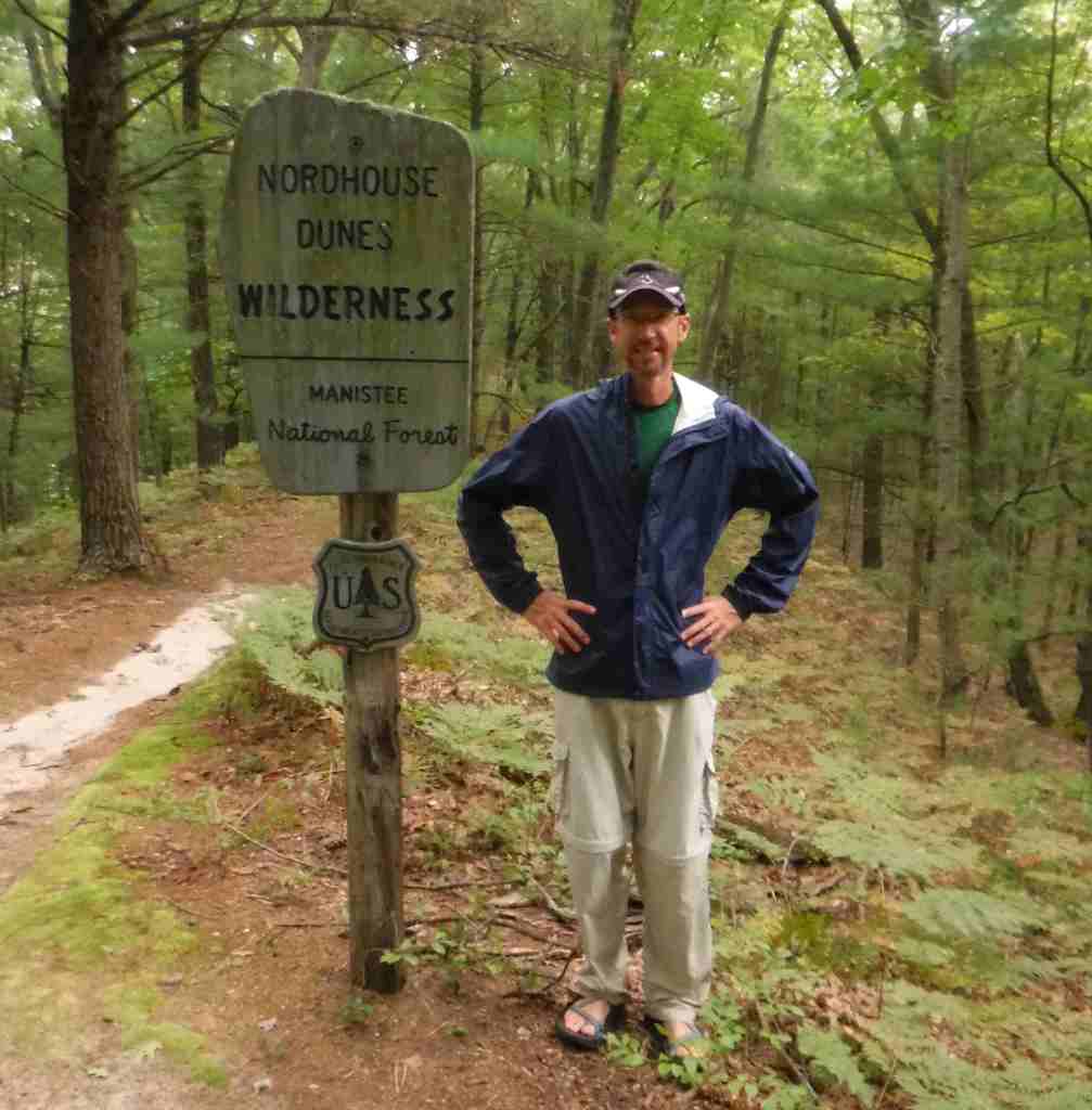
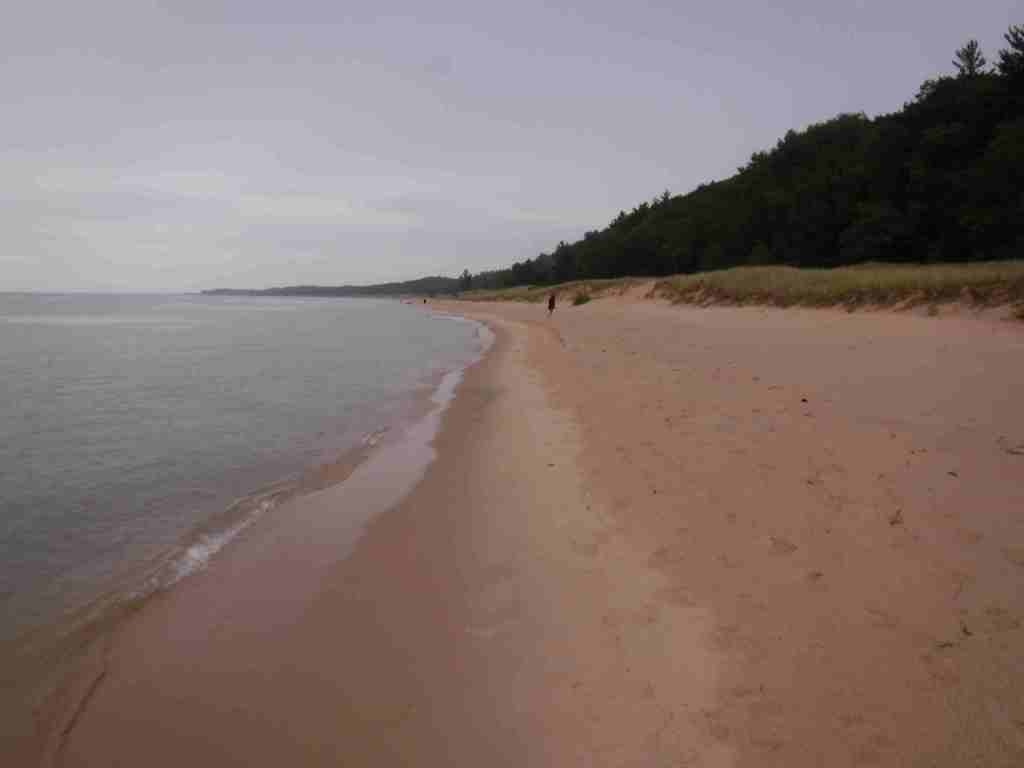
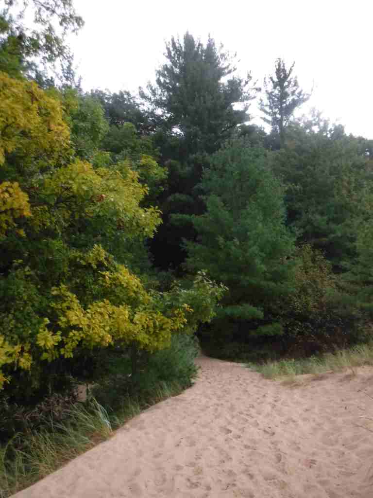
Manistee National Forest is popular for hiking, fishing, camping, boating, snowmobiling, cross-country skiing, and hunting. The National Forest’s primary visitor attractions are the Nordhouse Dunes along Lake Michigan and Loda Lake National Wildflower Sanctuary, a 1,000-acre area set aside in 1938 to grow native plants. The 6,270-acre sand dunes complex around Big Sable Point on Lake Michigan was formed 3,500 years ago and reaches 140 feet in height above lake level. The southern portion is contained within Ludington State Park and the northern half is managed by the Forest Service.
Best Trail
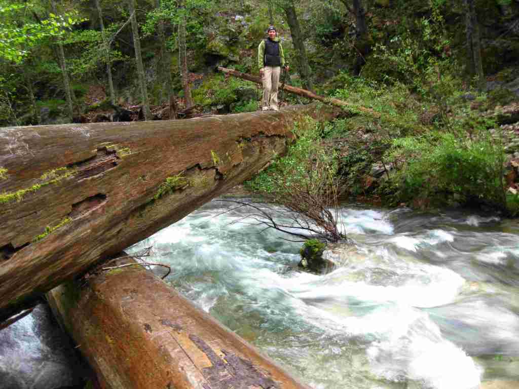
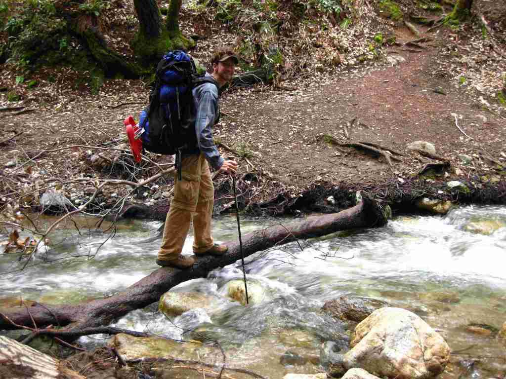
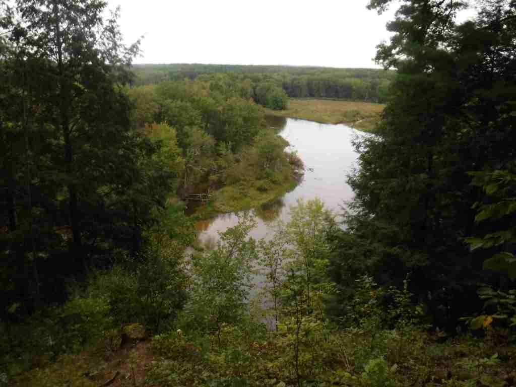
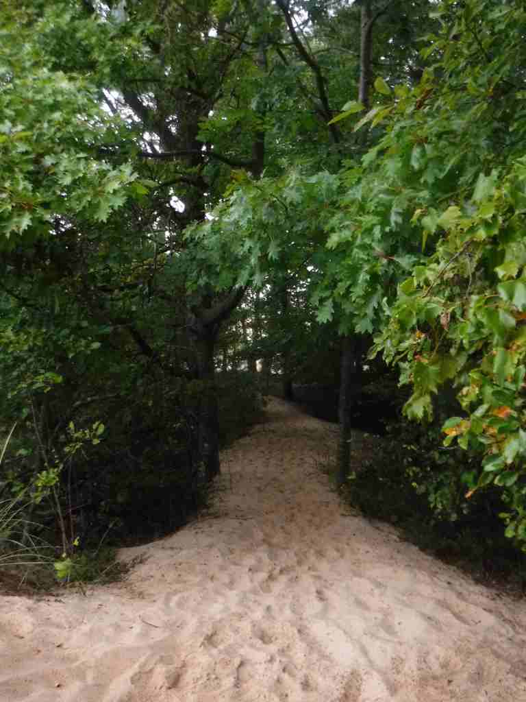
We accessed the Nordhouse Dunes from the Arrowhead Trailhead (fee), nine miles on paved West Forest Trail Road from Highway 31. We hiked a 2.7-mile loop by connecting the Middle Trail to the Arrowhead/ Nipissing Trail then following the shoreline back. We passed dozens of backpackers camping on the beach, mostly ignoring the requirement to stay 400 feet from Lake Michigan and 100 feet from trails. The North Country National Scenic Trail passes through Manistee National Forest and can be connected with the 11-mile-long Manistee River Trail to make a 23-mile loop.
Watchable Wildlife
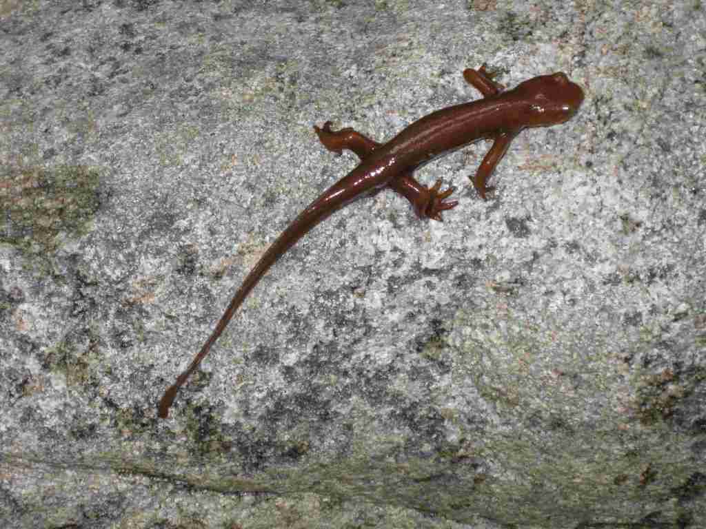
The Nordhouse Dunes encompass the largest area of freshwater interdunal ponds in the world, home to the federally endangered pitcher’s thistle. On the Lake Michigan shoreline, the dune grass provides habitat for endangered piping plovers. More common species are white-tailed deer, coyote, red fox, porcupine, and raccoon, and the occasional black bear and bobcat. A variety of gamefish are found in the Manistee River, Lake Michigan, and smaller ponds.
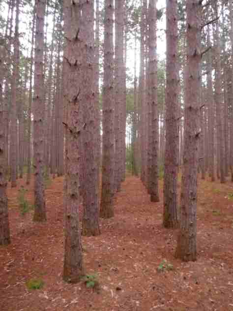
Photographic Opportunity
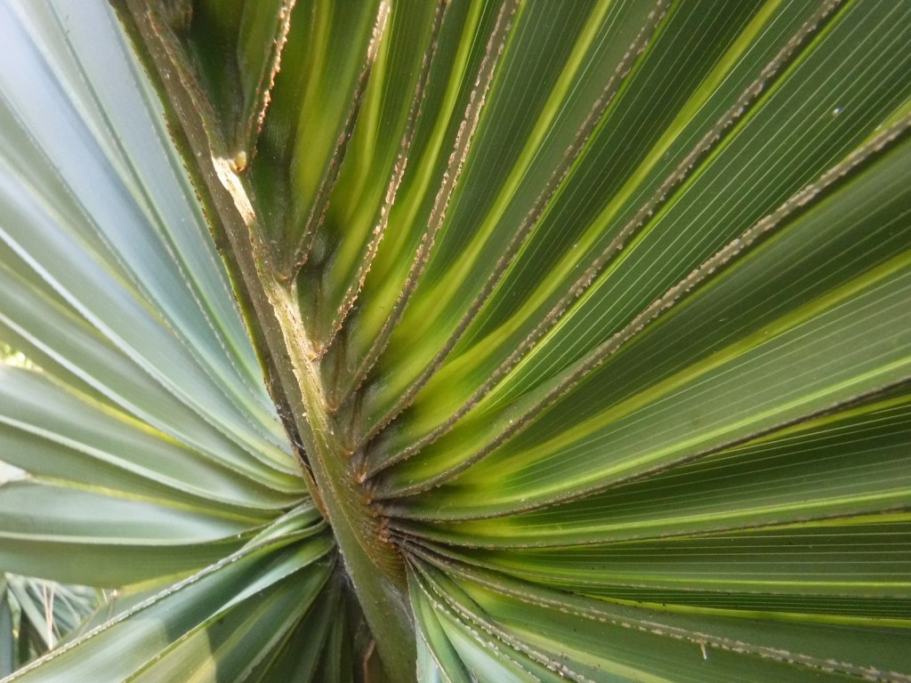
The rows of trees in the red pine plantations make for some interesting photographic subjects.
Peak Season
Summer
Fees
There is a $5 day use fee (or $15 for a week) to park at trailheads for the Nordhouse Dunes Wilderness with automated fee collection station available at Nurnberg Trailhead, or you can hang an America the Beautiful pass in your vehicle.
Road Conditions
The main roads are paved from Highway 31 to access the Nordhouse Dunes Wilderness; Nurnberg Trailhead in the southeast corner is open year round and Lake Michigan Recreation Area in the north is gated in the offseason.
Camping
There is a 102-site campground near the trailhead within Lake Michigan Recreation Area, but dispersed car camping is allowed to the east on the sandy side roads off West Forest Trail Road. It seems that backpackers in the Nordhouse Dunes area ignore the requirement to stay 400 feet from the lake and 100 feet from trails.
Wilderness Areas
Nordhouse Dunes Wilderness
Related Sites
Huron National Forest (Michigan)
Sleeping Bear Dunes National Lakeshore (Michigan)
River Raisin National Battlefield Park (Michigan)
Nearest National Park


red pine, jack pine, eastern white pine, eastern hemlock, arborvitae, tamarack, black spruce
northern red oak, black oak, white oak, red maple, paper birch, yellow birch, American beech, black cherry, green ash, bigtooth aspen, sassafras, witch hazel
Explore More – How is the Ojibwe word Manistee translated into English?

Know someone who loves the National Forests? Gift them our travel guidebook Out in the Woods so they can learn more about this and the 154 other National Forests.