Category Archives: Texas

Black Kettle National Grassland

Black Kettle National Grassland

Oklahoma, Texas

Managed by U.S. Forest Service, Southern Region

33,113 acres (31,286 federal/ 1,827 other)

Website: https://www.fs.usda.gov/detail/cibola/home/?cid=stelprdb5397425

Overview

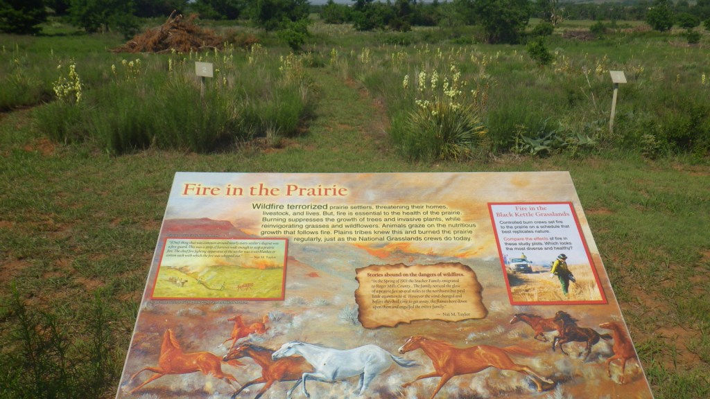
Like Cimarron National Grassland in Kansas, Black Kettle National Grassland was purchased by the federal government during the 1930s Dust Bowl.  This is one of the only National Grasslands with a visitor center, shared with the National Park Service (NPS) who manages Washita Battlefield National Historic Site at the site of an 1868 massacre that took the life of Chief Black Kettle of the Southern Cheyenne.  Even though the downstairs U.S. Forest Service office was closed on our Saturday visit, the NPS ranger at the desk provided a map and information on the National Grassland.  We also walked the paved interpretive trail at the visitor center that explained homesteading, prescribed burning, and preserving the rare shinnery oak species. 

Highlights

Black Kettle Recreation Area, Lake Marvin, Spring Creek Lake, Croton Creek Watchable Wildlife Area, Skipout Lake, Cheyenne Nature Walk

Must-Do Activity

Recreation here surrounds four reservoirs, including a tiny parcel around 63-acre Lake Marvin in Texas.  In Oklahoma, there are 60-acre Skipout Lake, 50-acre Spring Creek Lake, and 80-acre Dead Warrior Lake.  Fishing, picnicking, and free primitive camping are allowed at all four reservoirs, with a 1.75-mile trail circling Skipout Lake and wooded trails south of Dead Warrior Lake in Black Kettle Recreation Area. 

Best Trail

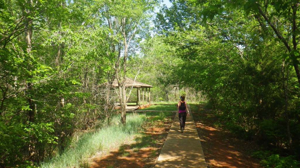
Unlike some other National Grasslands, there are multiple marked and maintained trails here, including two loops totaling 1.6 miles at Croton Creek Watchable Wildlife Area (south of Highway 47) lined by small signs describing native grasses, trees, and birds.  A slightly hidden trail is shown on the Forest Service app in the town of Cheyenne where a sidewalk heads into the woods leaving from the parking lot at the high school baseball field.  The Cheyenne Nature Walk is paved and has a gazebo and boardwalk crossing a wetland area that was dry during our May visit.

Watchable Wildlife

Three unique bird species we spotted during our May visit were Mississippi kites, northern bobwhite quail, and scissor-tailed flycatchers.  In addition, we saw cardinals and woodpeckers, and heard whippoorwills, barn owls, and barred owls overnight.  Wild turkeys, cedar waxwings, and lesser prairie chickens are also among the 277 bird species identified.  Tracks of white-tailed deer and raccoons were abundant on the Croton Creek Trail, plus there are bobcats, mountain lions, and beavers in the area.  Fishermen can catch black bass, saugeye, catfish, and other types of pan fish. 

Instagram-worthy Photo

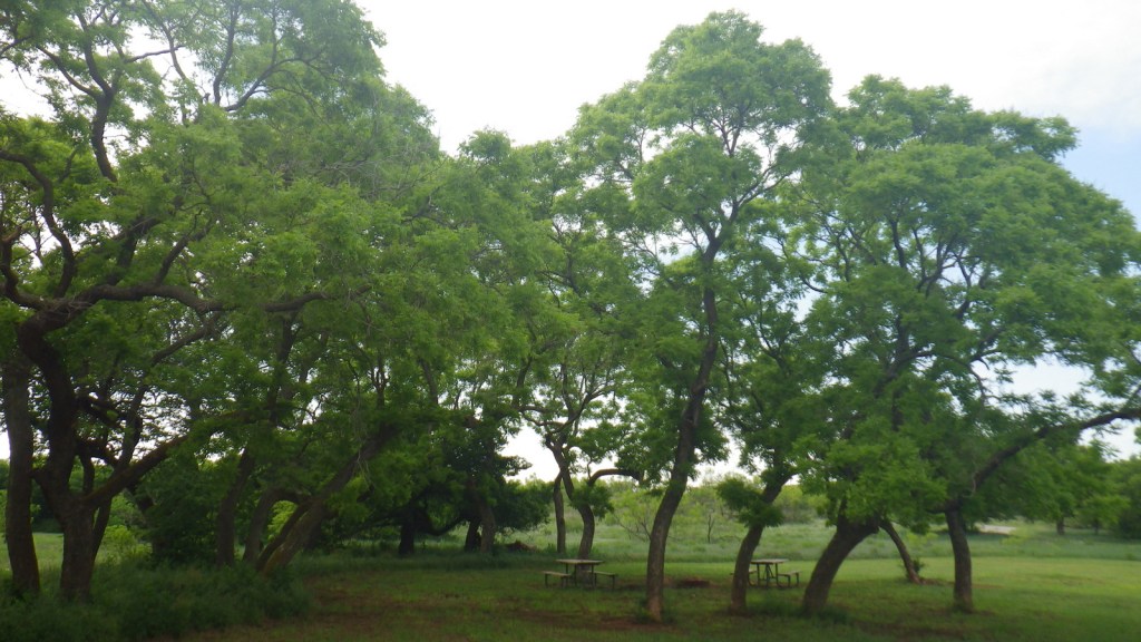
This area is more heavily wooded than some other prairie National Grasslands, which can be experienced on the Croton Creek Trail and Cheyenne Nature Walk (watch for poison-ivy).

Peak Season

Spring and fall

Fees

None

Road Conditions

Highways 283, 33, and 47 are paved roads that run through the National Grassland, and despite abundant spring rainstorms, we did not have any difficulty with the unpaved roads.

Camping

All four lakes offer free primitive campsites with some picnic tables, as does Croton Creek Watchable Wildlife Area where we stayed only six miles west of Cheyenne.  RV campsites with hookups at Lake Marvin cost $20 a night.

Related Sites

Washita Battlefield National Historic Site (Oklahoma)

Alibates Flint Quarries National Monument (Texas)

Cimarron National Grassland (Kansas)

Nearest National Park

Great Sand Dunes

Explore More – The South Canadian River flows north of Black Kettle National Grassland, but what is the river that runs through the middle of it?

Davy Crockett National Forest

Davy Crockett National Forest

Texas

Managed by U.S. Forest Service, Southern Region

394,200 acres (160,647 federal/ 233,553 other)

Website: https://www.fs.usda.gov/texas

Overview

The pine forests and blackland prairies of Davy Crockett National Forest are situated between Lufkin and Crockett, Texas.  The National Forest is located within the Trinity and Neches River basins, where the Big Slough Canoe Trail explores the swampy 3,639-acre Big Slough Wilderness.  David Crockett was a frontiersman, soldier, and Tennessee politician who died at the infamous Battle of the Alamo in 1836 and later became an almost-mythical American folk hero known as the “King of the Wild Frontier.”  This swampy stretch of eastern Texas is a fitting place to be his namesake.

Highlights

Ratcliff Lake Recreation Area, Holly Bluff Campground, Neches Bluff Overlook, Neches River, Big Slough Canoe Trail, Tall River Trail, Four C Trail

Must-Do Activity

Davy Crockett National Forest’s most developed site is Ratcliff Lake Recreation Area, where several trails run near the campsites that surround the 45-acre lake, including one end of the 20-mile-long Four C National Recreation Trail.  The site also has a bathhouse, picnicking and swimming areas, and boat ramps.

Best Trail

The 20-mile Four C National Recreation Trail connects Ratcliff Lake Recreation Area with Neches Bluff Overlook, although hurricane damage closed the northern portion of the trail in 2019.  The trail is named after the Central Coal and Coke Company, which had a sawmill at Ratcliff Lake.  Much of the well-marked route follows abandoned tramways built by the company to haul logs.  The two trailheads are easily accessible from highways, but no backpack camping is allowed during deer hunting season (November through January).

Watchable Wildlife

Fishing is a major draw to Ratcliff Lake, as is hunting for white-tailed deer, fox squirrels, northern bobwhite quail, doves, wild turkeys, and various waterfowl.  Beavers and American alligators are also found at Ratcliff Lake.  Longleaf pine forests are managed to provide habitat for red-cockaded woodpeckers, an endangered species.  We saw an armadillo while hiking a swampy section of the Four C National Recreation Trail along the Neches River.

Instagram-worthy Photo

There is not much vertical topography in eastern Texas, so Neches Bluff Overlook stands out and commands an expansive view, including Caddo Mounds State Historic Site.

Peak Season

Spring and fall

Fees

None

Road Conditions

Access to Neches Bluff Overlook is by a well-maintained unpaved road that would be drivable by an RV.

Camping

There is free primitive camping allowed at Neches Bluff Overlook, which is located just south of Highway 21 near Caddo Mounds State Historic Site.  No backpack camping is allowed on the Four C National Recreation Trail during deer hunting season (November through January), when dispersed camping is also restricted to 20 designated hunter camps.

Wilderness Areas

Big Slough Wilderness

Related Sites

Angelina National Forest (Texas)

Sabine National Forest (Texas)

Big Thicket National Preserve (Texas)

Nearest National Park

Hot Springs

Conifer Tree Species

baldcypress, loblolly pine, shortleaf pine, longleaf pine, eastern redcedar

Flowering Tree Species

blackjack oak, post oak, southern red oak, white oak, swamp chestnut oak, willow oak, sweetgum, red maple, swamp red maple, green ash, swamp cottonwood, black willow, water hickory, pignut hickory, hophornbeam, sassafras, slippery elm, water elm, winged elm, American holly, yaupon holly, red buckeye, redbud, rough-leaf dogwood, flowering dogwood

Explore More – When were the mounds created at nearby Caddo Mounds State Historic Site?

Learn more about this and the 154 other National Forests in our new guidebook Out in the Woods

We are a participant in the Amazon Services LLC Associates Program, an affiliate advertising program designed to provide a means for us to earn fees by linking to Amazon.com and affiliated sites.

Angelina National Forest

Angelina National Forest

Texas

Managed by U.S. Forest Service, Southern Region

402,231 acres (153,180 federal/ 249,051 other)

Website: https://www.fs.usda.gov/main/texas/home

Overview

Angelina National Forest lies in the piney woods region of eastern Texas dominated by longleaf, loblolly, and shortleaf pine trees.  In 1935, land acquisition began to create Angelina and the three other nearby National Forests it is co-managed with (Davy Crockett, Sabine, and Sam Houston).  Sam Rayburn Reservoir bisects Angelina National Forest into a north and south section in the flooded Neches River Basin.

Highlights

Sam Rayburn Reservoir, Boykin Springs Recreation Area, Caney Creek Recreation Area, Black Branch Barrens, Bouton Lake, Aldridge Sawmill Historic Site, Sawmill Trail

Must-Do Activity

Other than Sam Rayburn Reservoir, the most developed portion of the National Forest is Boykin Springs Recreation Area.  The lake, campground, and Civilian Conservation Corps (CCC) structures are at the end of 2.5-mile long Forest Road 313 off Highway 63.  About twenty minutes away Bouton Lake (12 acres) is located seven miles down Forest Road 303 and offers primitive camping, fishing, and an overgrown hiking trail amidst bottomland hardwoods and baldcypress trees (please respect the private property on the west side).

Best Trail

The 5.5-mile out-and-back Sawmill Trail connects Boykin Springs Recreation Area to the Aldridge Sawmill Historic Site.  The trail goes through a burn and can be hard to follow in places due to multiple user trails, so be sure to follow the yellow-painted metal markers on trees.  The sawmill has been heavily sprayed with graffiti, but if you aim your camera up to the second story it does not look as bad.  The trail that used to connect to the sawmill from Bouton Lake has been closed since it crossed private property.

Watchable Wildlife

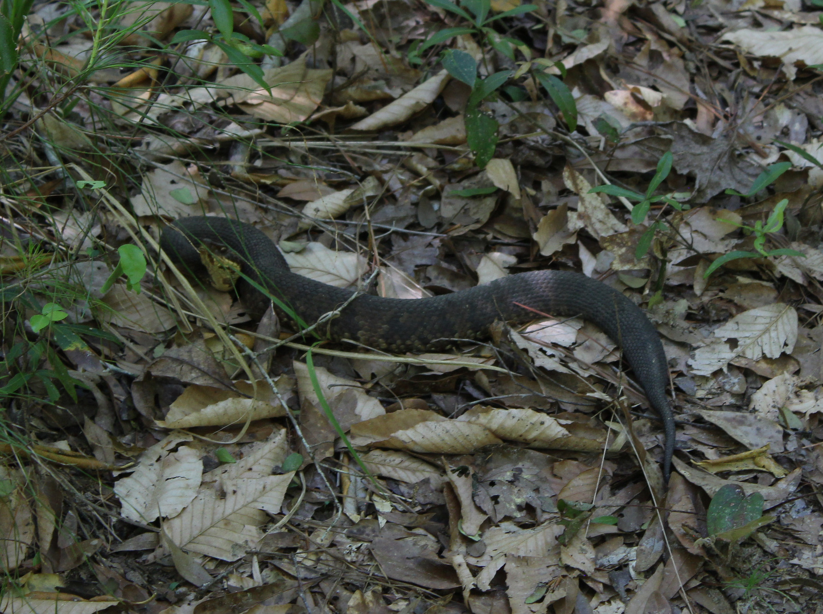
At Boykin Springs Recreation Area we spotted a pileated woodpecker, cardinal, robins, and crows.  The endangered red-cockaded woodpecker can be found in the longleaf pine forests.  On the Sawmill Trail we saw a copperhead snake near the creek and turtles in the pond at the end.  Hunters seek white-tailed deer, wild turkey, American woodcock, and bobwhite quail in the forest, which also provides wintering habitat for bald eagles.

Instagram-worthy Photo

A cool rock spillway originally built by the Civilian Conservation Corps (CCC) in 1938 drains from the nine-acre lake at Boykin Springs Recreation Area.  It was reconstructed to its original appearance in the years after Hurricane Rita hit in 2005.

Peak Season

Spring and fall

Fees

None

Road Conditions

Forest Road 303 to Bouton Lake is a very good dirt road, but the west side of the lake is privately owned and a one-lane road leads to a gate, so unless you want to drive backwards for a ways just park as soon as you get to the camping area.

Camping

There are developed campgrounds at Boykin Springs and Caney Creek Recreation Areas, plus an undeveloped (and free) area to camp at Bouton Lake.

Wilderness Areas

Turkey Hill Wilderness

Upland Island Wilderness

Related Sites

Big Thicket National Preserve (Texas)

Davy Crockett National Forest (Texas)

Sabine National Forest (Texas)

Nearest National Park

Hot Springs (Arkansas)

Conifer Tree Species

baldcypress, longleaf pine, shortleaf pine, loblolly pine

Flowering Tree Species

laurel oak, blackjack oak, post oak, overcup oak, swamp chestnut oak, cherrybark oak, water oak, black hickory, water hickory, red maple, American beech, American holly, yaupon holly, southern magnolia, sweetbay magnolia, swamp red bay, water tupelo, water elm, winged elm, Carolina ash, green ash, wax myrtle

Explore More – Other than looking cool, what function do the knees serve that protrude from the baldcypress root system?

We are a participant in the Amazon Services LLC Associates Program, an affiliate advertising program designed to provide a means for us to earn fees by linking to Amazon.com and affiliated sites.

Waco Mammoth National Monument

Overview

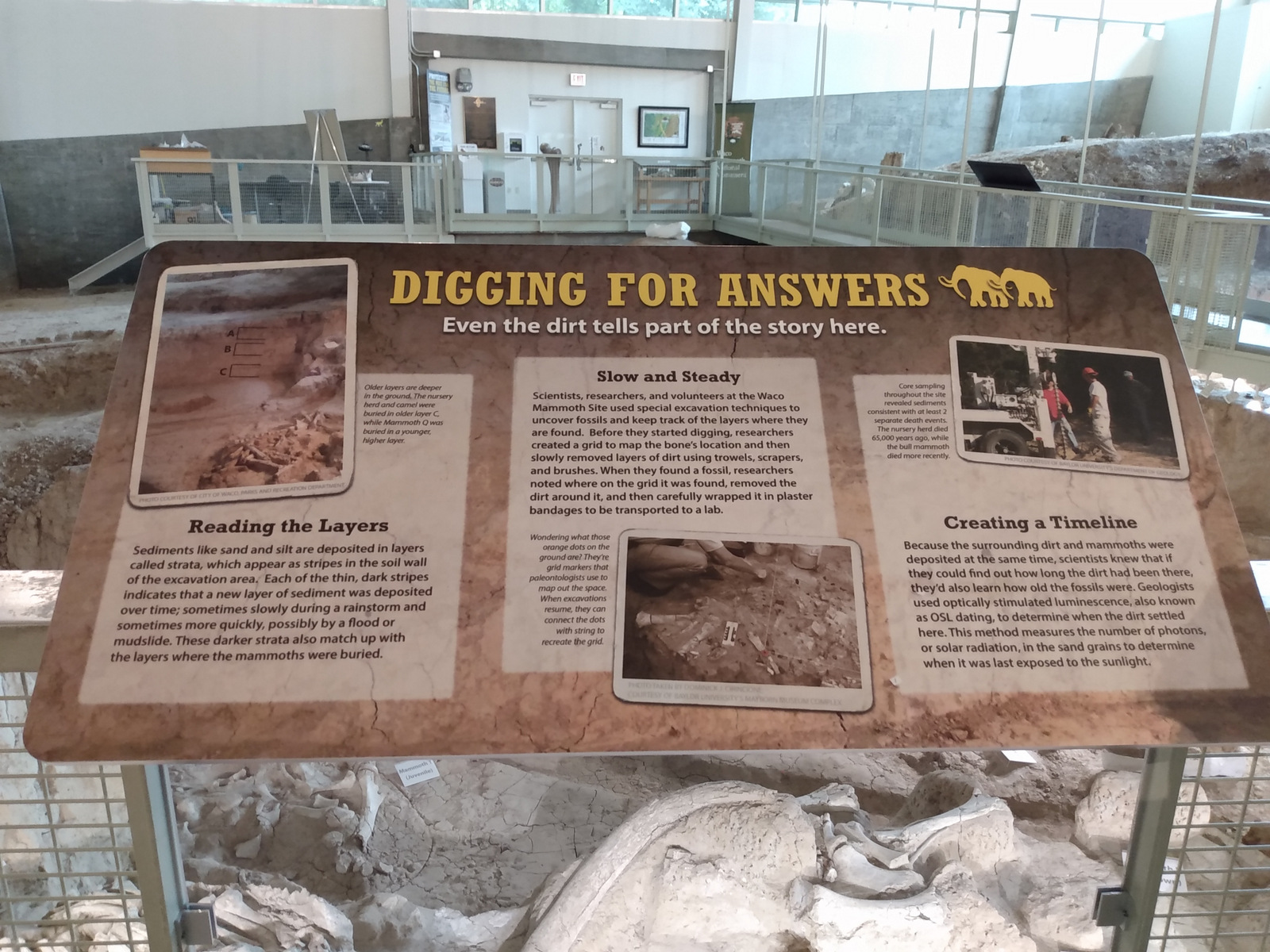
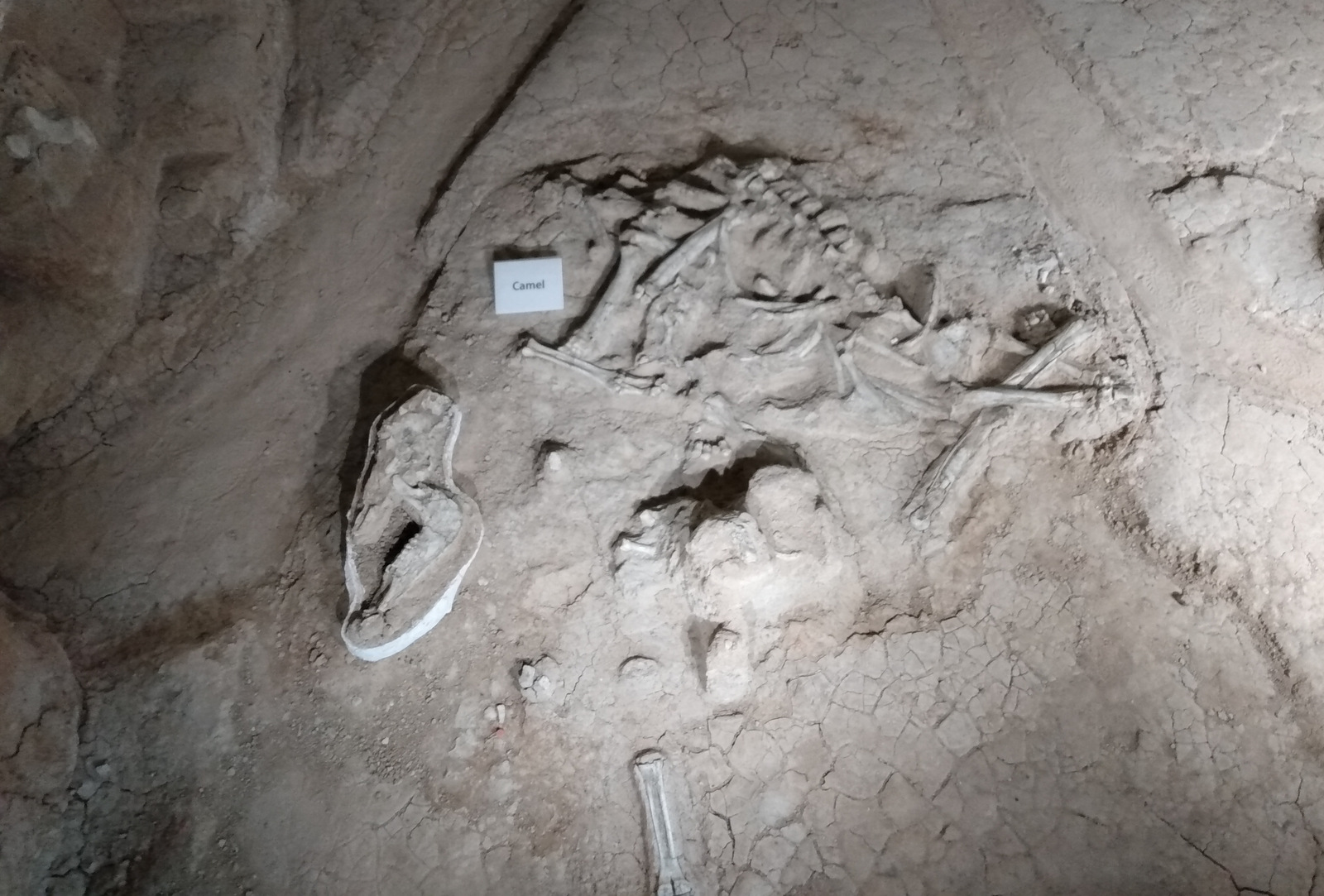
Columbian mammoths grew up to 14 feet in height, much larger than woolly mammoths that reached about 10 feet.  About 65,000 years ago, a nursery herd of Columbian mammoths died in a ravine here due to unknown causes, possibly a flood or drought.  Then about 51,000 years ago, another three mammoths died at the same spot before the onset of a new glacial period.  Many of the fossils have been left in situ within the Dig Shelter, but others are on display at Baylor University’s Mayborn Museum Complex.

Highlights

Dig Shelter tour, Eagle Trail

Must-Do Activity

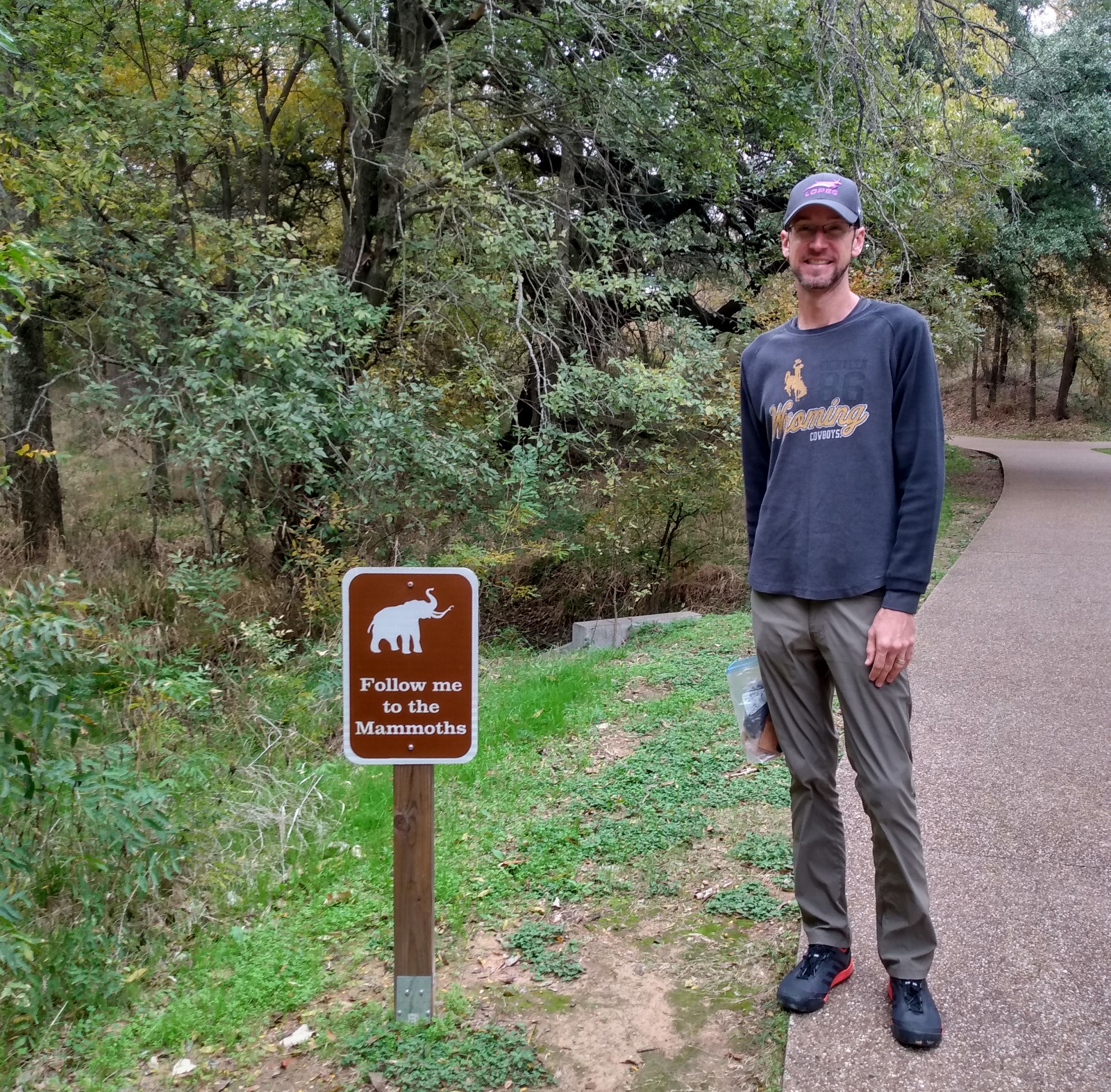
Established in 2015, this National Monument was already developed for visitors by the city of Waco and Baylor University.  As such, annual America the Beautiful passes provide no discount for the guided tour to the Dig Shelter where the 65,000-year-old Columbian mammoth and camel bones have been excavated.  First discovered in 1978, this dig site has since had a building constructed around it, making it a pleasant place to visit year round.

Best Trail

From the paved Mammoth Trail, there is the short Deer Loop that connects to the longer Eagle Trail.  Located south of Waco Mammoth National Monument, Cameron Park in Waco has trails along the Brazos and Bosque Rivers.

Instagram-worthy Photo

The Dig Shelter is only viewable on a guided tour (admission charged).

Peak Season

Spring and fall

Hours

https://www.nps.gov/waco/planyourvisit/hours.htm

Fees

$5 per person for the tour (no discount for America the Beautiful pass)

Road Conditions

All roads paved

Camping

Many private campgrounds can be found around Waco, Texas, in addition to six Corps of Engineers campgrounds on Waco Lake that take reservations.

Related Sites

Alibates Flint Quarries National Monument (Texas)

Guadalupe Mountains National Park (Texas)

Agate Fossil Beds National Monument (Nebraska)

Explore More – A small tooth was discovered here from a cub of what fearsome Ice Age predator?

Fort Davis National Historic Site

Overview

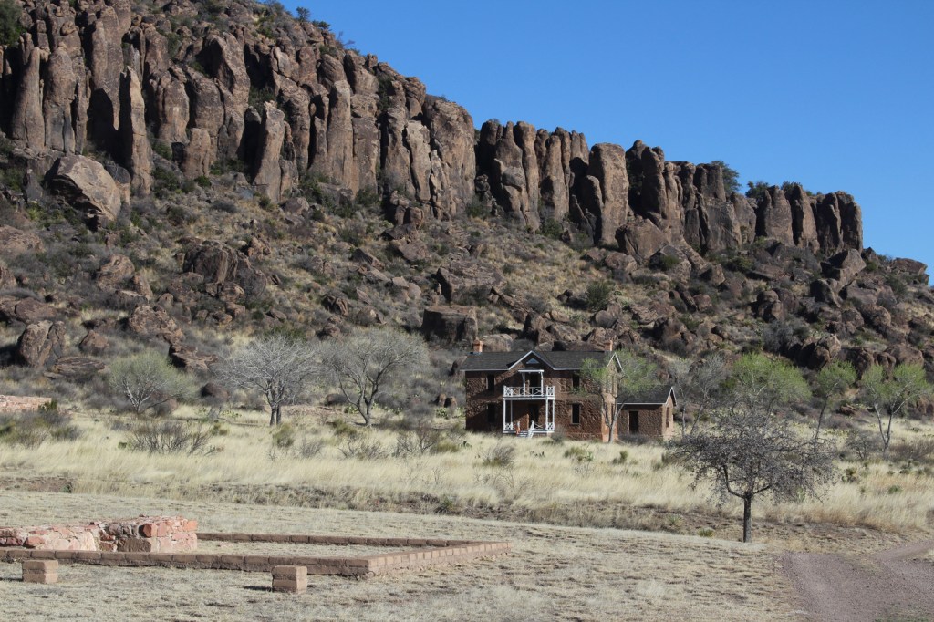
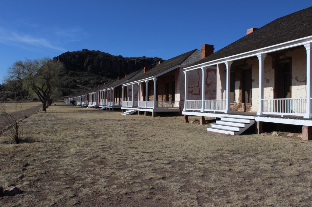
The base of the Davis Mountains is the wonderfully scenic setting for Fort Davis National Historic Site, originally active from 1854 to 1891.  It was manned by U.S. troops except after Texas seceded during the Civil War, which is ironic given that it was named for Jefferson Davis.  Confederate forces obviously saw this as enough reason to occupy the remote frontier fort for a year.  The park preserves its 1867 layout, when the fort was rebuilt following five years of abandonment.

Highlights

Museum, film, historic buildings, Davis Mountains State Park

Must-Do Activity

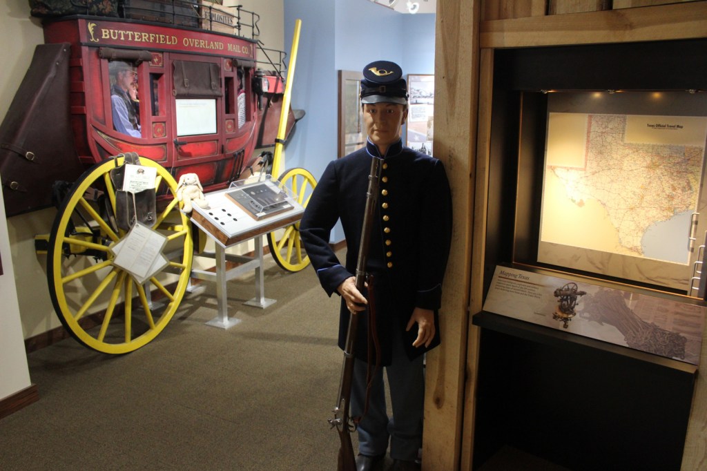
After the Civil War, Fort Davis became famous for posting African-American “Buffalo Soldiers.”  Maybe this is why they chose to cast 7-foot-2-inch tall Kareem Abdul-Jabbar as the cowboy hat-wearing narrator of the park’s introductory film.  That in-and-of-itself is worth the price of admission.  The dry Chihuahuan Desert air has preserved the 21 remaining buildings well.  Throughout the day, bugle calls on the loudspeaker will hearken you back to frontier days. 

Best Trail

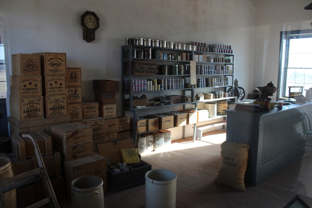
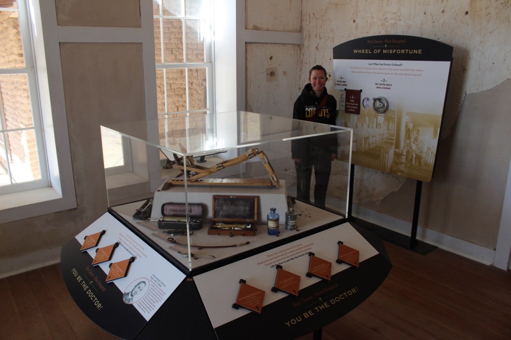
A self-guided trail leads around the 523-acre property and enters six buildings: the commanding officer’s quarters, lieutenants’ quarters, barracks, commissary, hospital, and officers’ servants’ quarters.  There are other trails here and in neighboring Davis Mountains State Park, but be aware that the fort sits at 4,900 feet of elevation.

Instagram-worthy Photo

The morning we visited, mule deer were feeding on the lawn in front of the restored buildings.

Peak Season

Summer

Hours

https://www.nps.gov/foda/planyourvisit/hours.htm

Fees

$10 per person or America the Beautiful pass

Road Conditions

Access roads paved

Camping

If you enjoy spending time at this beautiful spot, consider camping in adjacent Davis Mountains State Park, which offers good stargazing.

Related Sites

Guadalupe Mountains National Park (Texas)

Carlsbad Caverns National Park (New Mexico)

Big Bend National Park (Texas)

Explore More – Who was the first black graduate of West Point military academy briefly stationed here (before a controversial court-martial later overturned in 1976)?