We kicked off our travel blog by highlighting our favorite National Park Service site in each of the 50 states.
Alabama
Tuskegee Airmen National Historic Site
Alaska
Wrangell-St. Elias National Park and Preserve
Arizona
Organ Pipe Cactus National Monument
Arkansas
California
Colorado
Great Sand Dunes National Park and Preserve
Connecticut
Weir Farm National Historic Site
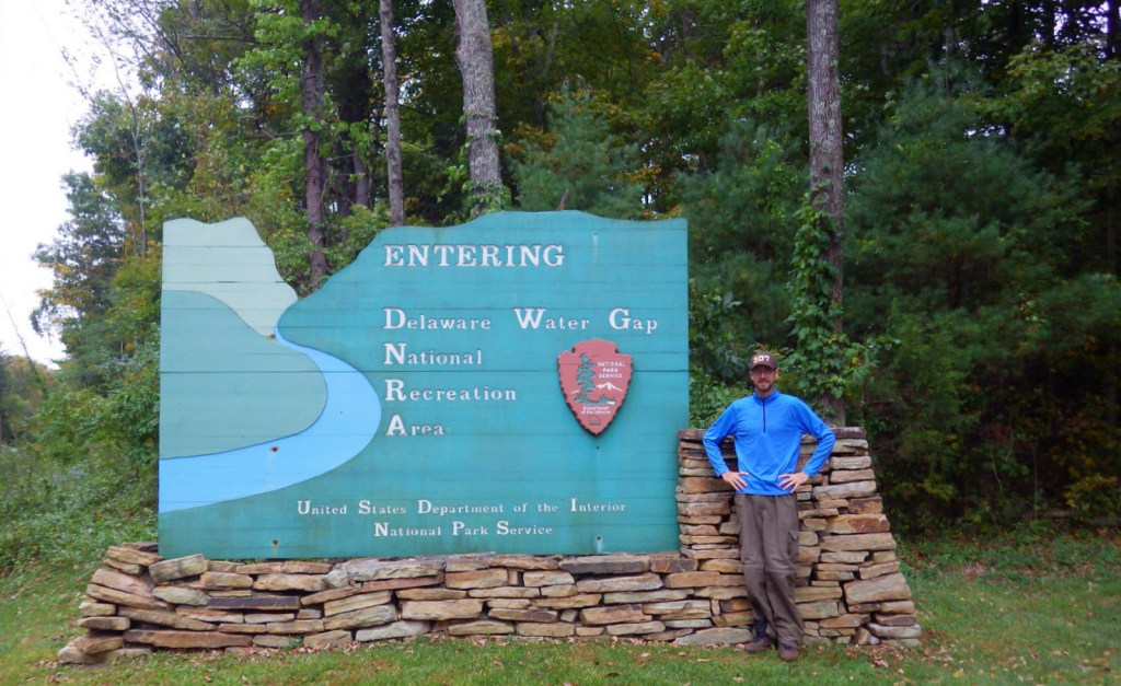
Delaware
First State National Historical Park
Florida
Georgia
Andersonville National Historic Site
Hawaii
Kalaupapa National Historical Park
Idaho
City of Rocks National Reserve
Illinois
Pullman National Historical Park
Indiana
Iowa
Effigy Mounds National Monument
Kansas
Brown v. Board of Education National Historic Site
Kentucky
Louisiana
Jean Lafitte National Historical Park and Preserve
Maine
Appalachian National Scenic Trail
Maryland
Massachusetts
Lowell National Historical Park
Michigan
Pictured Rocks National Lakeshore
Minnesota
Grand Portage National Monument
Mississippi
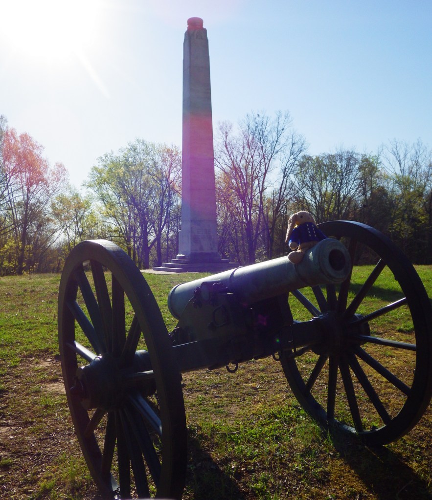
Vicksburg National Military Park
Missouri
Ozark National Scenic Riverways
Montana
Nebraska
Scotts Bluff National Monument
Nevada
New Hampshire
Saint-Gaudens National Historic Site
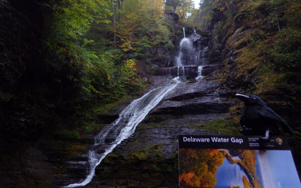
New Jersey
Thomas Edison National Historical Park
New Mexico
New York
Fort Stanwix National Monument
North Carolina
Cape Lookout National Seashore
North Dakota
Theodore Roosevelt National Park
Ohio
Dayton Aviation Heritage National Historical Park
Oklahoma
Chickasaw National Recreation Area
Oregon
John Day Fossil Beds National Monument
Pennsylvania
Fort Necessity National Battlefield
Rhode Island
Roger Williams National Memorial
South Carolina
South Dakota
Tennessee
Big South Fork National River and Recreation Area
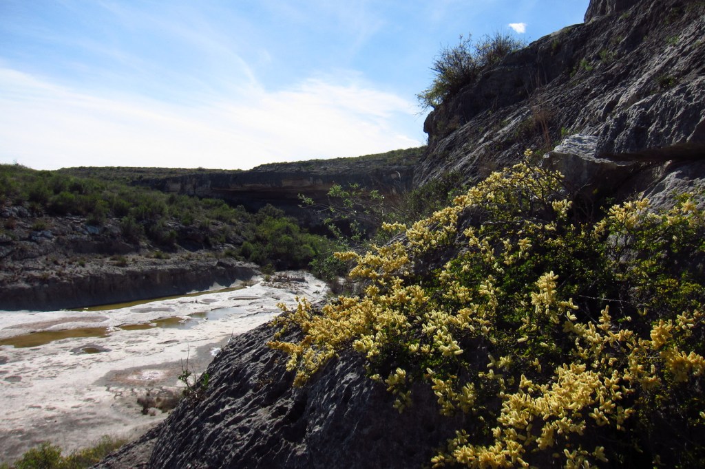
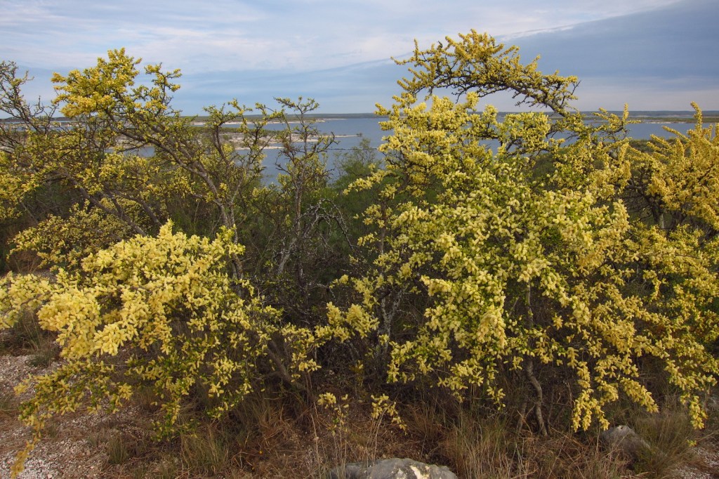
Texas
Utah
Vermont
Marsh-Billings-Rockefeller National Historical Park
Virginia
Washington
Lake Chelan National Recreation Area
West Virginia
New River Gorge National Park and Preserve
Wisconsin
Apostle Islands National Lakeshore
…and finally our home state…

Wyoming
Honorable Mention
District of Columbia