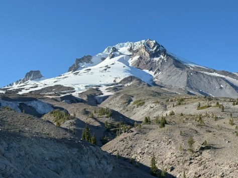
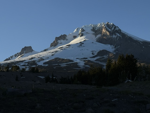
Mt. Hood National Forest is named for the 11,249-foot-tall stratovolcano that dominates the skyline east of Portland. It has 12 glaciers that feed the amazing waterfalls of the region, several of which you can drive right up to in Columbia River Gorge National Scenic Area (see our blog post). This area was first established as the Bull Run Forest Reserve in 1892 and was considered for National Park status beginning in 1940. One famous destination is Bagby Hot Springs (fee), accessible by a 1.4-mile trail to hand-hewn tubs with cedar plumbing. The lower bathhouse contains three individual log tubs and one six-foot round tub, while the upper bathhouse contains another six-foot round tub on an open deck.
Know someone who loves the National Forests? Gift them our travel guidebook Out in the Woods so they can learn more about all 155 National Forests.
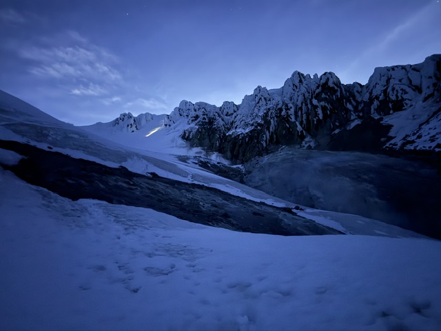
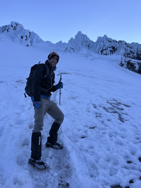
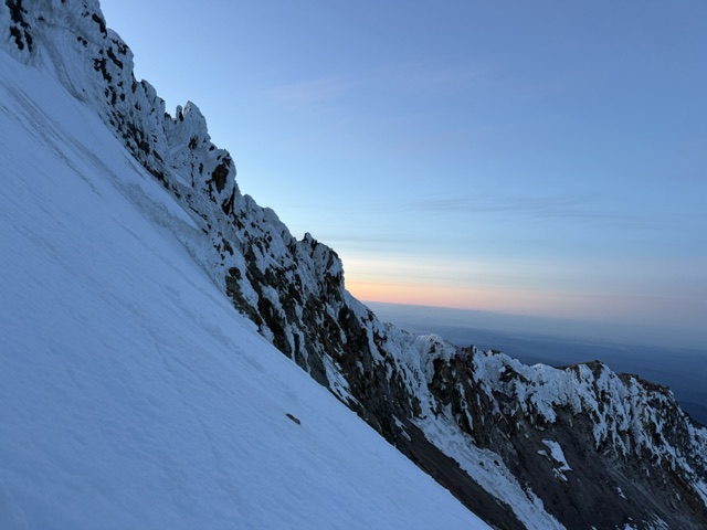
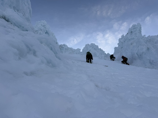
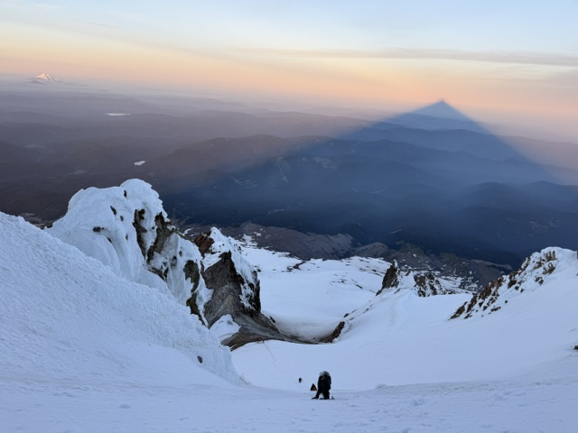
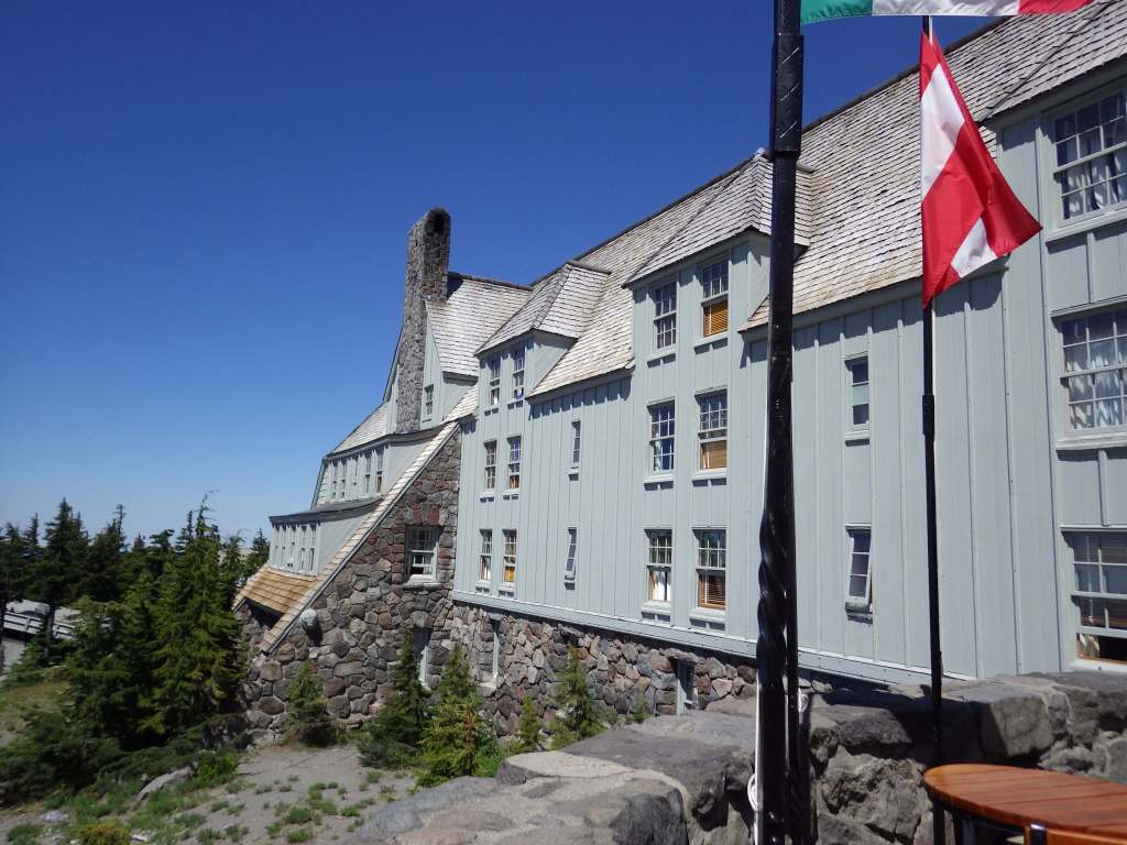
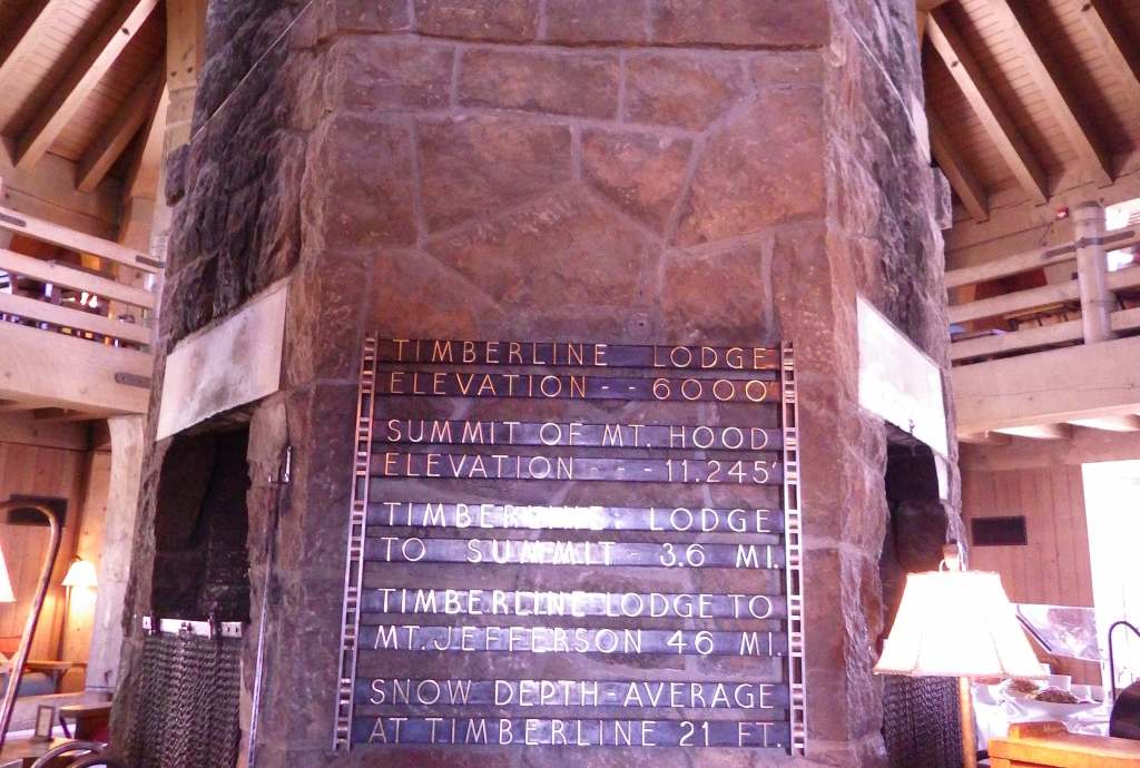
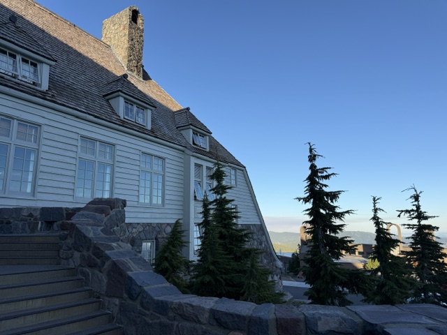
The highest of the five ski resorts on Mt. Hood is located at the end of a steep, six-mile-long paved drive off Highway 26. It is home to Timberline Lodge, a National Historic Landmark you might recognize from the opening scenes of the 1980 film The Shining. The ornate woodwork from the 1930s harkens back to a bygone era of craftsmanship, which is on display throughout the main lobby and the Rachael Griffin Historic Exhibition Center. Downhill skiing is sometimes open throughout the summer, but even without skis you can take the sky ride to 7,000 feet in elevation for great views south of Mt. Jefferson and the Three Sisters in Deschutes National Forest. Spring is the season for summitting Mt. Hood, and climbers must carry a free uphill travel pass and a WAG bag (human waste pack out bag). Another popular spot, Olallie Scenic Area, is a high-elevation lake basin north of Mt. Jefferson. Mountain bikers are drawn to Mt. Hood National Recreation Area (see our blog post).
Best Trail
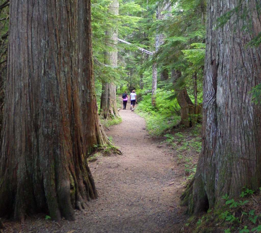
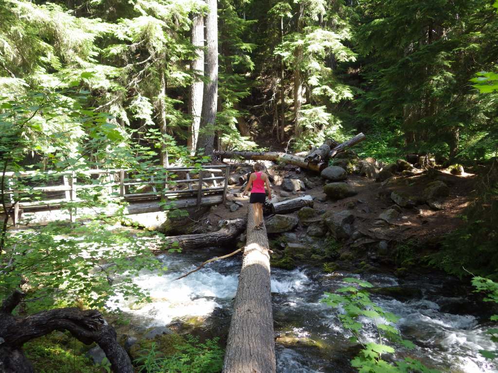
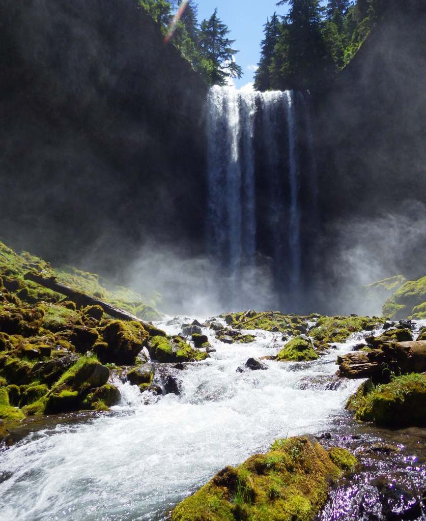
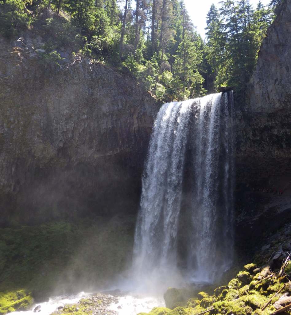
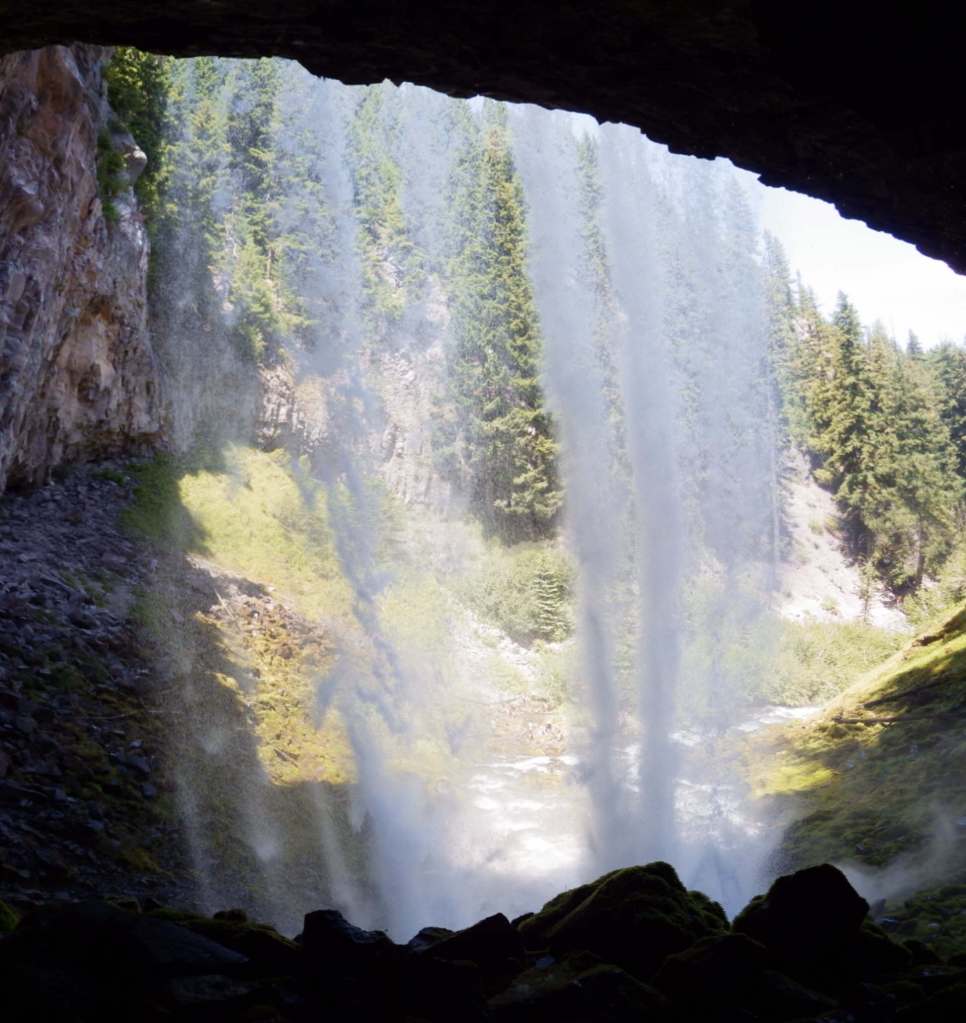
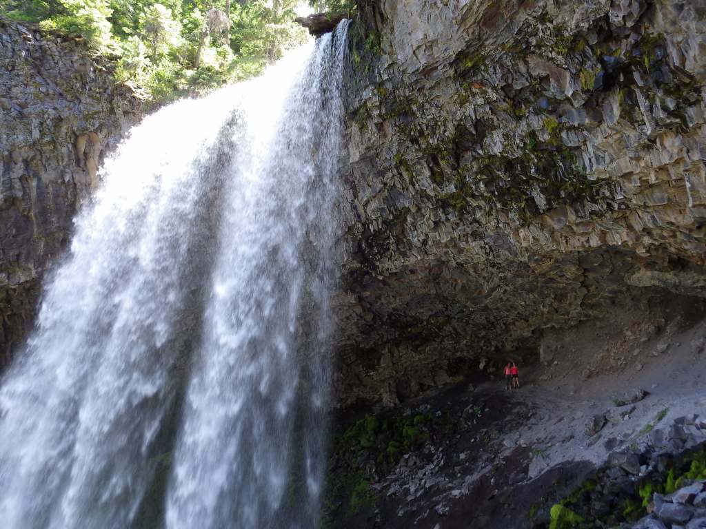
The hike behind Tamanawas Falls leaves from a trailhead near Sherwood Campground, where a rolling two-mile hike rises a cumulative 360 feet through a shady Douglas-fir forest as it follows the course of Cold Spring Creek. At the base of the 100-foot-tall waterfall, a careful climb up slippery wet rocks takes hikers behind the curtain of water. There are 1,200 miles of trails in the National Forest, including the 40.7-mile Timberline Trail built around Mt. Hood by the Civilian Conservation Corps (CCC) in the 1930s. Part of the Pacific Crest National Scenic Trail shares this route as it skirts the volcano’s western slope.
Watchable Wildlife
Mt. Hood National Forest has both Roosevelt and Rocky Mountain elk, as well as mule deer, red foxes, coyotes, mountain lions, and black bears. Less commonly seen are badgers, American pika, and Pacific marten. Large birds include golden eagles, pileated woodpeckers, and Steller’s jays. Situated at 4,900 feet in elevation, 240-acre Olallie Lake is stocked with both rainbow and brook trout. The Sandy River and its tributaries have runs of chinook salmon, coho salmon, and steelhead.
Photographic Opportunity
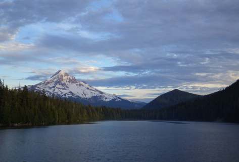
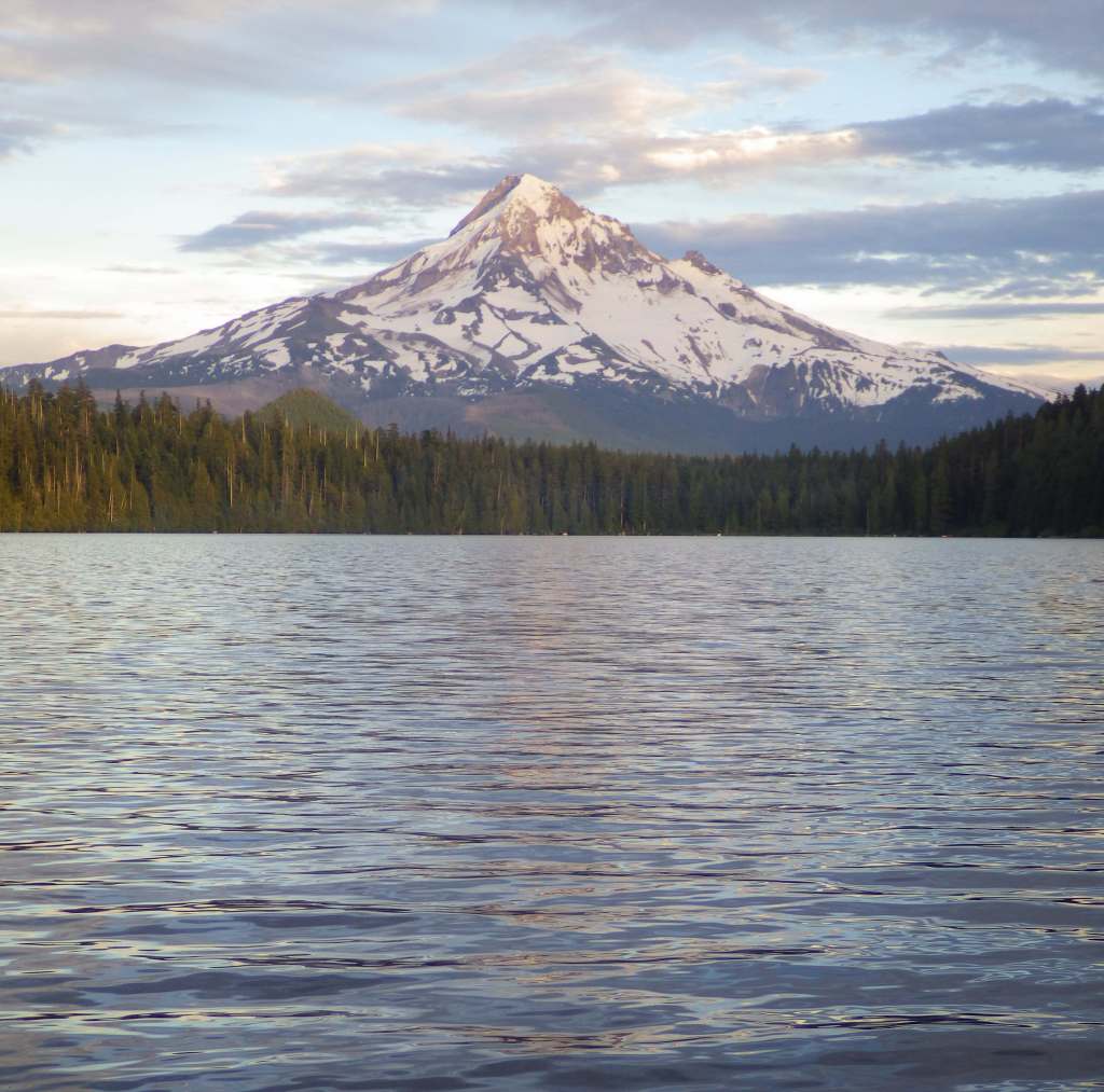
One particularly great spot to photograph Mt. Hood is from Lost Lake, which has canoe rentals and a nice three-mile hiking trail that encircles it. We have also heard that Trillium Lake offers a great view.
Peak Season
Summer
Fees
$10 day use fee (no America the Beautiful passes accepted, but some take a Northwest Forest Pass) at the most popular areas like Trillium Lake; $15 at Lost Lake with no passes accepted; $5 per person at the Bagby Hot Springs with no passes accepted; $5 (or America the Beautiful pass) at Frog Lake Sno-Park/Trailhead; State of Oregon Sno-Park permit required November 1 through April 30 at some trailheads; see website for details: https://www.fs.usda.gov/r06/mthood/passes
Road Conditions
The road is paved to Timberline Lodge, but there are many unpaved roads in this area, some of which are in bad shape due to the high amounts of precipitation.
Camping
There are more than 70 campgrounds in Mt. Hood National Forest, including seven in Olallie Scenic Area. The popular Bagby Campground near the hot springs does not take reservations. Dispersed camping is a great way to enjoy the area.
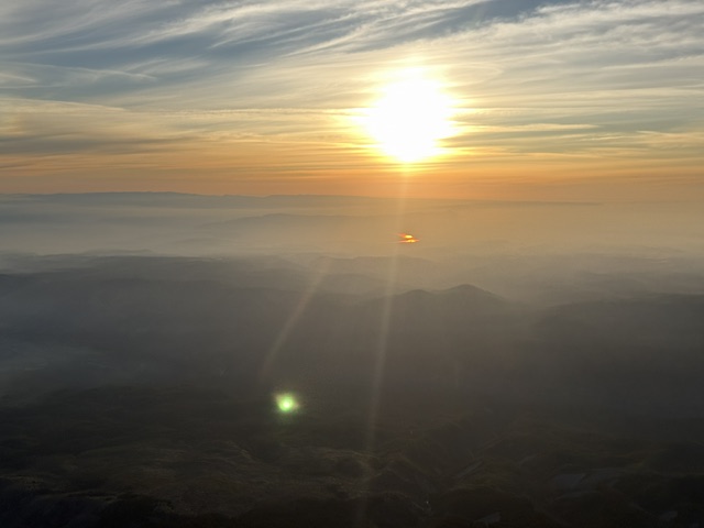
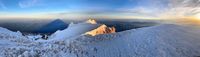
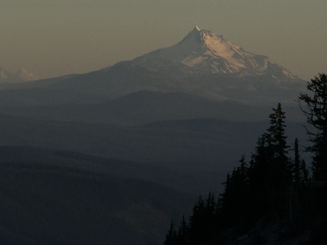
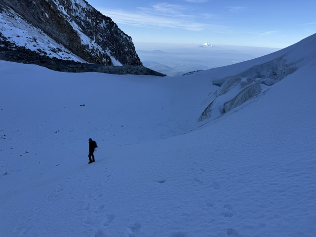
Mt. Hood from Timberline LodgeGlaciers and fumarolesScott going up The Chute to summit Mt. HoodView south from Mt. Hood’s summitMt. JeffersonTimberline LodgeTimberline LodgeLost LakeTamanawas FallsTamanawas FallsTamanawas FallsTamanawas Falls
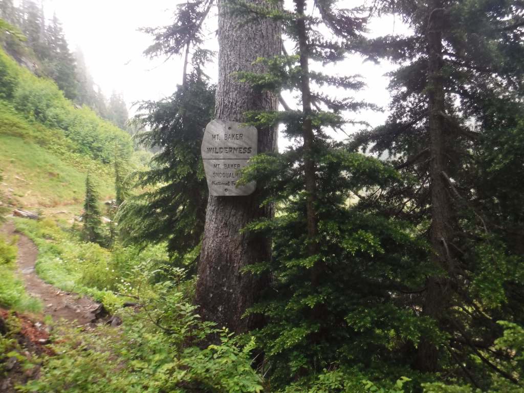
Mt. Baker National Forest’s namesake is the 10,781-foot glacier-covered stratovolcano that dominates the skyline of northwest Washington. It is surrounded by the 119,989-acre Mt. Baker Wilderness and the specially designated 8,473-acre Mt. Baker National Recreation Area that allows snowmobiling on the southern slope. About half of this National Forest is designated Wilderness, which also encompasses another active volcano within 566,057-acre Glacier Peak Wilderness. In 1968, part of Mt. Baker National Forest turned into North Cascades National Park and five years later its remaining acres were administratively merged with Snoqualmie National Forest.
Know someone who loves the National Forests? Gift them our travel guidebook Out in the Woods so they can learn more about all 155 National Forests.
Highlights
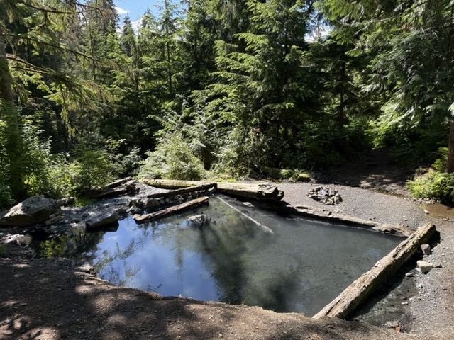
Mt. Baker National Recreation Area, Heather Meadows, Glacier Public Service Center, Nooksack Falls, Mountain Loop Scenic Byway, Baker Hot Springs, Boulder River Trail, Bagley Lakes Trails, Fire and Ice Trail, Baker Lake Trail, Pacific Northwest National Scenic Trail, Shadow of the Sentinels National Recreation Trail
Must-Do Activity
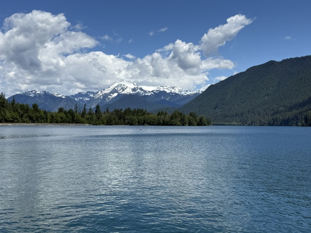
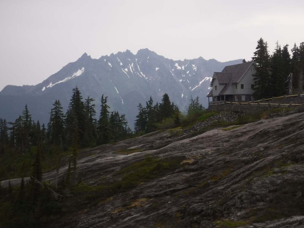
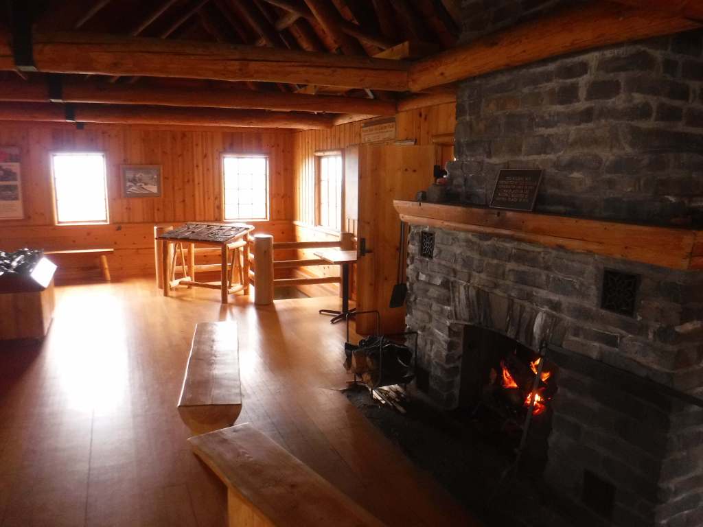
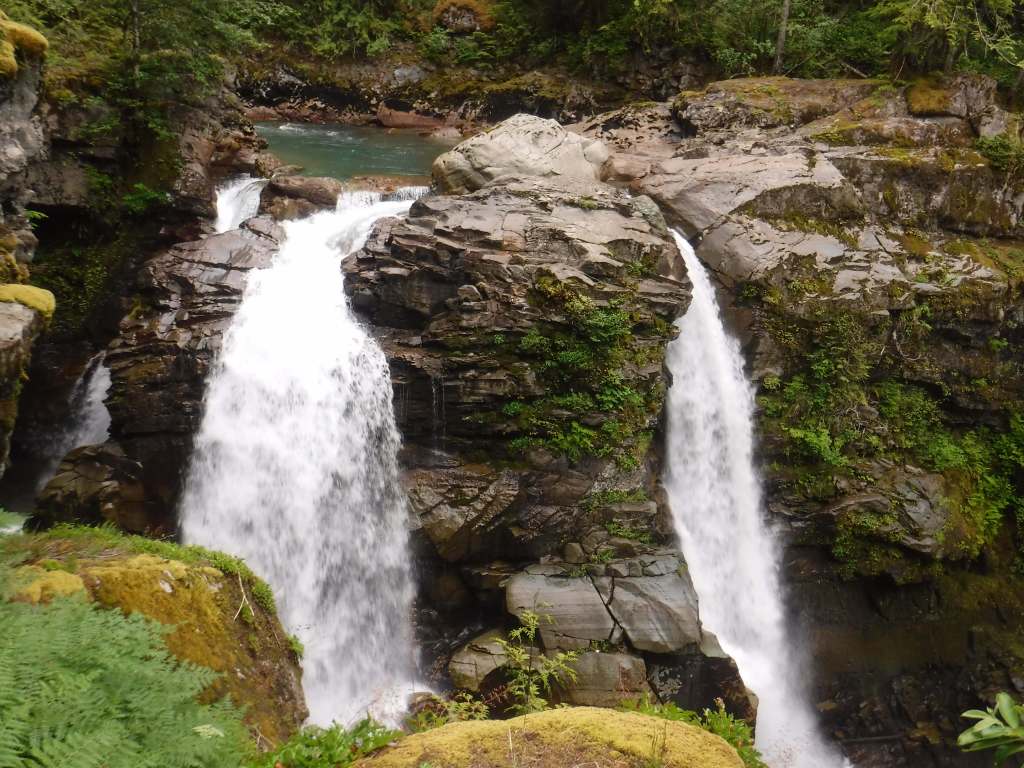
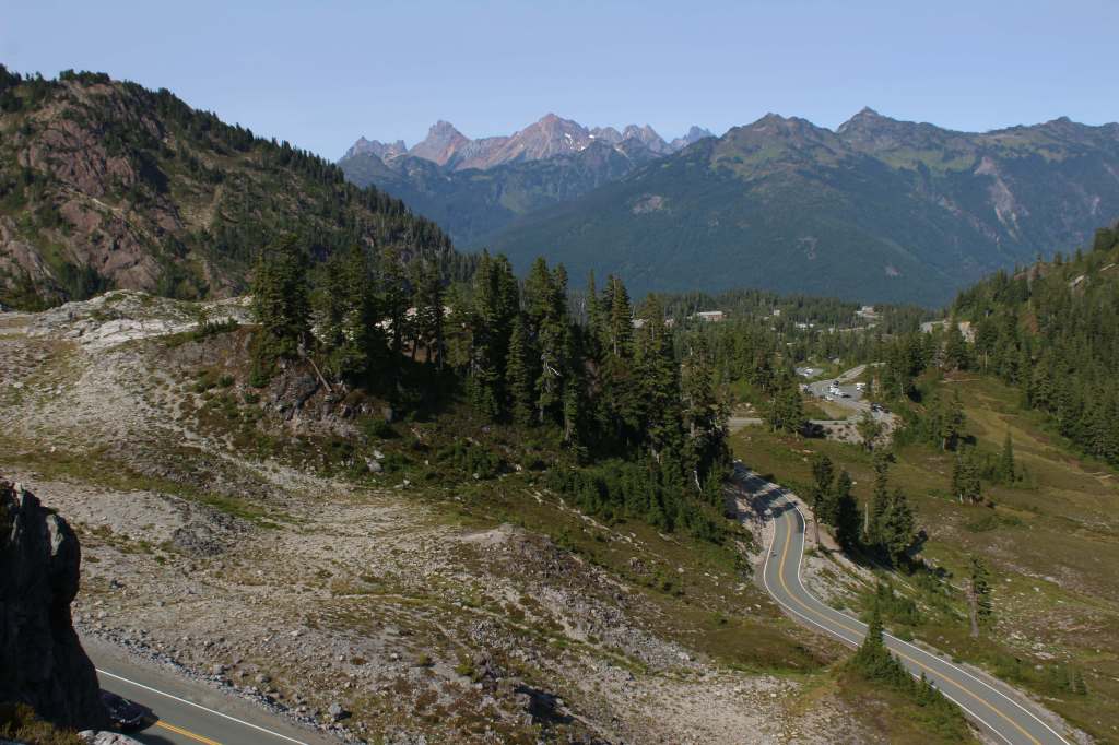
Mt. Baker Scenic Byway (Highway 542) passes Nooksack Falls as it heads east to Artist Point (open after snow melts). Be sure to stop at photogenic Picture Lake and the Heather Meadows Visitor Center, built in the 1930s by the Civilian Conservation Corps (CCC). A recreation pass is at most trailheads around nine-mile-long Baker Lake, a reservoir popular with campers and fishermen. On the lake’s east side, boat-in or hike-in Maple Grove Campground provides amazing views of Mt. Baker on a clear day.
Best Trail
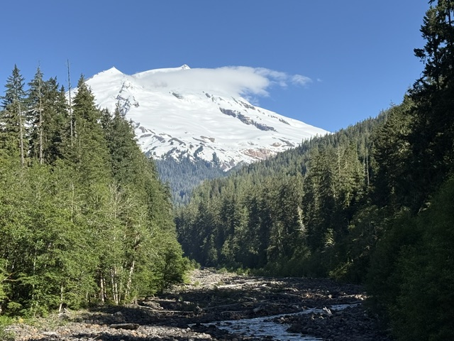
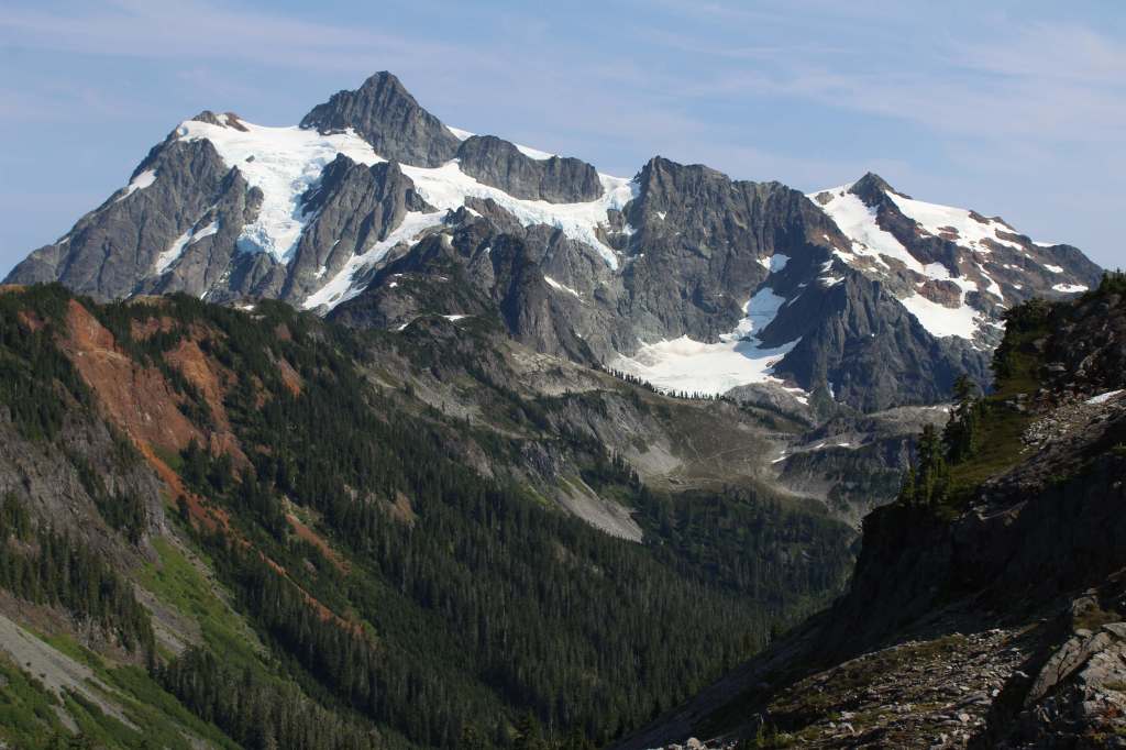
Mt. Baker Scenic Byway accesses several trailheads before dead ending in a huge parking lot at Artist Point, surrounded by snowy mountains. Snow often covers the 4.2-mile one-way trail to Lake Ann well into July. The first two miles share a path with the Pacific Northwest National Scenic Trail, dropping 800 feet to a junction with Swift Creek Trail. From there, a 700-foot climb begins to Lake Ann, a popular destination for backpackers within Mt. Baker Wilderness, which in addition to the normal restrictions prohibits campfires and requires all human waste to be packed out. On clear days, the payoff is unsurpassed views of Mt. Baker and Mt. Shuksan, a 9,131-foot peak in North Cascades National Park reached by continuing up the trail.
Watchable Wildlife
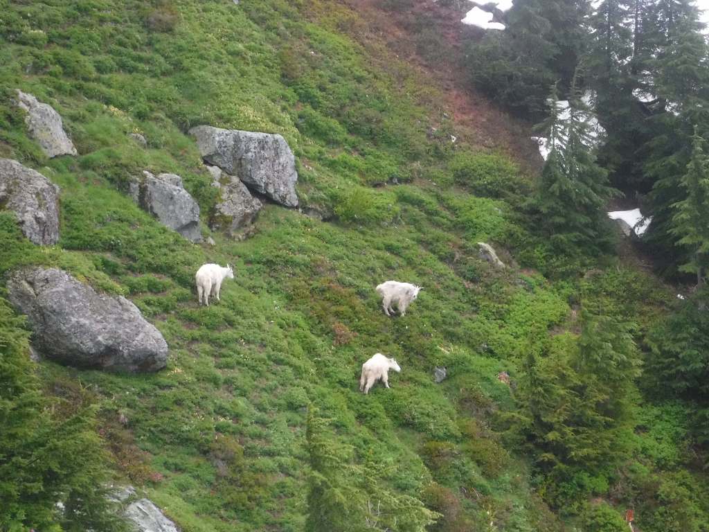
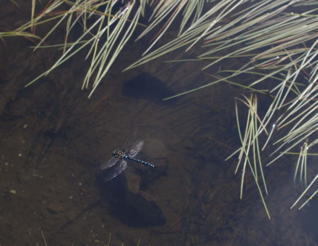
Mountain goats can be seen at high elevations, alongside marmot, pika, and snowshoe hare. Other large mammals include black bears, mountain lions, bobcats, Columbian black-tailed deer, and elk. In 1978, the Skagit Wild and Scenic River System was established along 125 miles of rivers, providing habitat for one of the nation’s largest winter populations of bald eagles. Two types of sea-run trout and five species of salmon are anadromous fish found in the lakes and streams.
Photographic Opportunity
Picture Lake near the Heather Meadows Visitor Center creates wonderful reflections of the surrounding snowy mountains. Plus, it is a good spot for huckleberries in September.
Peak Season
Summer
Fees
$5 Northwest Forest Pass (or America the Beautiful pass) required at the end of Mt. Baker Highway and at trailheads around Baker Lake; Washington State Sno-Park permit is required November 1 through April 30 at some sites
Road Conditions
Mt. Baker Highway (542) received the National Forest Scenic Byway designation in 1988. The 57-mile-long paved route from Interstate 5 is open most of the year between Bellingham and Mt. Baker Ski Area, but it is usually closed beyond that from October well into July because of heavy snowfall.
Camping
There are several campgrounds around Baker Lake, including the boat-in or hike-in Maple Grove Campground. Marble Creek and Mineral Park are two free campgrounds on the Cascade River Road. There are no campgrounds in the Heather Meadows area, but at lower elevations on the Mt. Baker Scenic Byway are Douglas-Fir and Silver Fir Campgrounds.
Wilderness Areas
Alpine Lakes Wilderness (also in Wenatchee National Forest)
Boulder River Wilderness
Clearwater Wilderness
Glacier Peak Wilderness (also in Wenatchee National Forest)
Henry M. Jackson Wilderness (also in Wenatchee National Forest)
Mt. Baker Wilderness
Noisy-Diobsud Wilderness
Norse Peak Wilderness
Pasayten Wilderness (also in Okanogan National Forest)
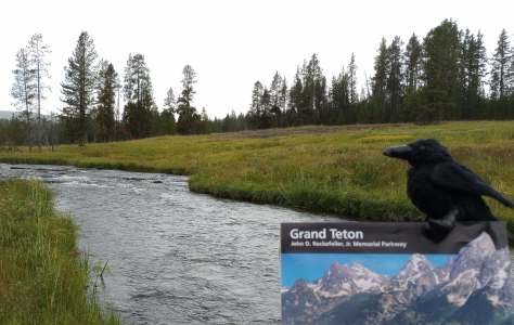
Baker LakeHeather Meadows Visitor CenterMountain goatsPicture LakeBanana slugBaker Lake at Maple Grove CampgroundBaker Hot SpringsNooksack FallsRavens about the forest
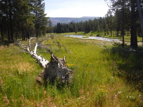
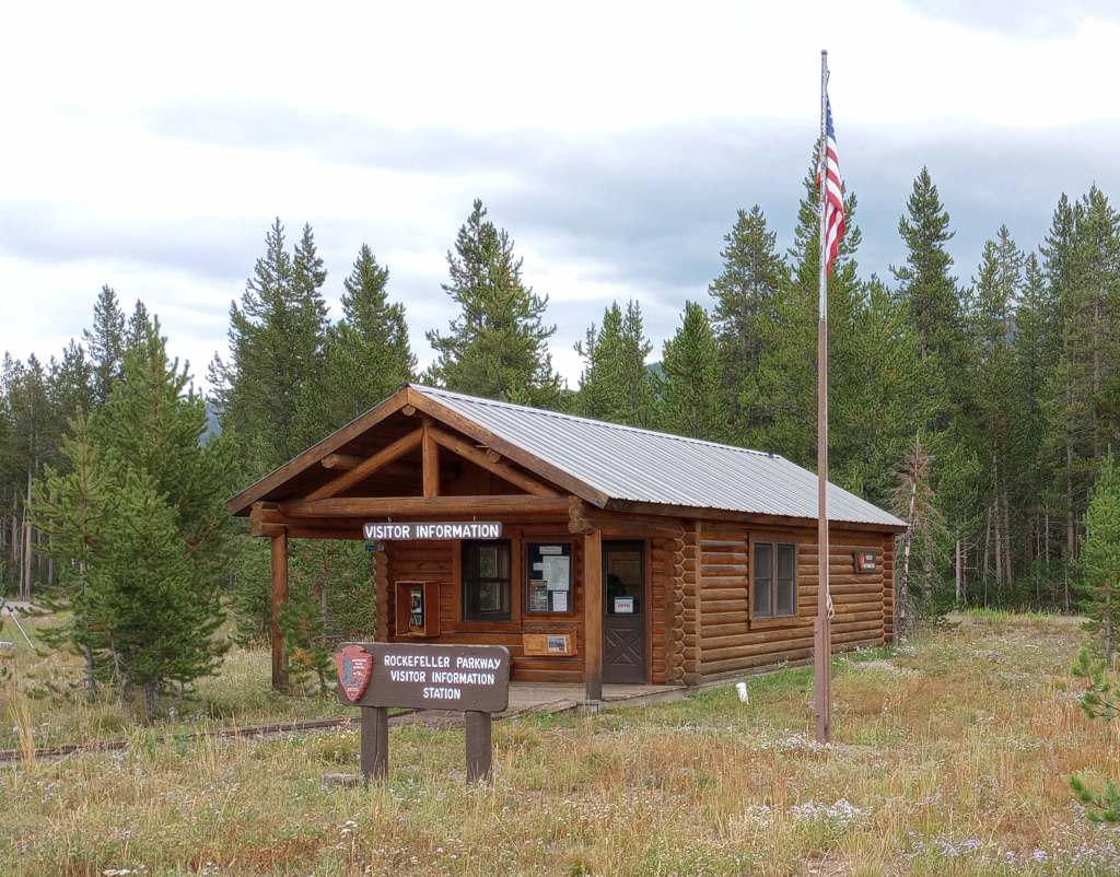
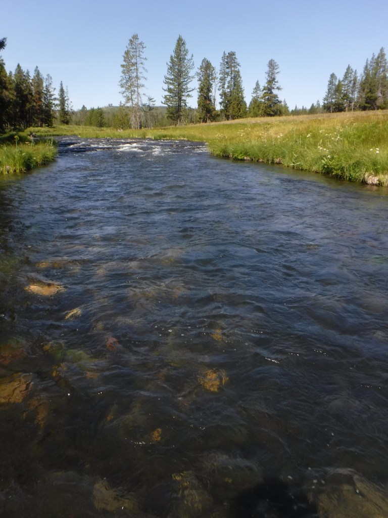
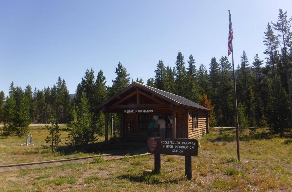
John D. Rockefeller, Jr. Memorial Parkway shares 82 miles of two-lane road that is U.S. Routes 89, 191, and 287 from Grand Teton National Park National Park north to West Thumb Geyser Basin in Yellowstone National Park. Its name honors the conservationist and philanthropist who contributed to the creation of Acadia, Grand Teton, Great Smoky Mountains, and Virgin Islands National Parks. Originally part of Teton National Forest, this land includes the Flagg Ranch concession, which had its lodge, restaurant, gas station, and campground moved from along the Snake River to a point less visible from the road in 2002.
Highlights
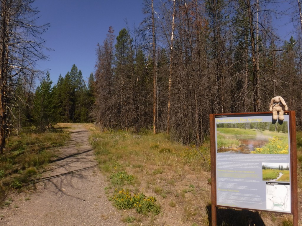
Flagg Ranch, Huckleberry Hot Springs, Polecat Hot Springs
Must-Do Activity
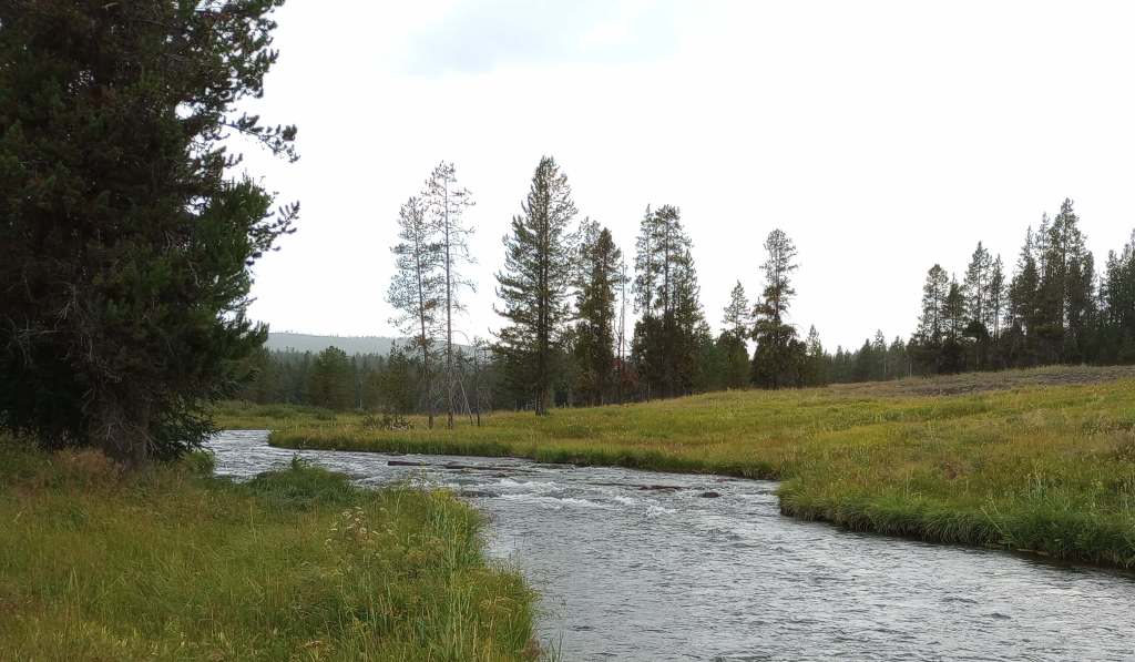
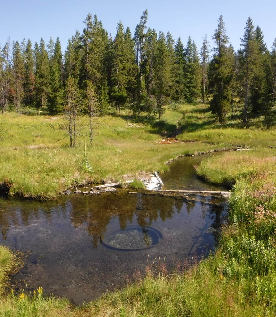
Huckleberry and Polecat Hot Springs are easily accessed by walking less than a mile down a closed dirt road not far from historic Flagg Ranch. Polecat Creek Loop Trail can be completed as a 2.5-mile loop that is narrow and overgrown by vegetation in places. Be on the lookout for grizzly bears, black bears, elk, and moose. Trout fishing in the Snake River is also a popular activity in John D. Rockefeller, Jr. Memorial Parkway. The parkway is plowed to Flagg Ranch in the winter, making it a shared trailhead for snowmobilers, snowshoers, and cross-country skiers.
Best Trail
Flagg Canyon Trail is a five-mile out-and-back hike along the Snake River with 340 feet of cumulative elevation gain after it crosses the busy parkway east of Flagg Ranch.
Photographic Opportunity
Driving unpaved and potholed Grassy Lake Road provides views to the south of the Teton Range.
The parkway is paved and closes for the winter at Flagg Ranch when the south entrance to Yellowstone National Park shuts down. Closed annually for grizzly bear migration until June 1, Grassy Lake Road heads 49 miles west to Ashton, Idaho (the easternmost 36 miles are a potholed dirt track for high-clearance vehicles that enters Targhee National Forest, which is popular for dispersed camping).
Camping
There is a lodge at Flagg Ranch, plus Headwaters Campground takes reservations and offers 34 tent sites, 97 full-hookup RV sites, and 40 Camper Cabins (open June 7 to October 4, 2026). Along rough Grassy Lake Road there are eight free camp areas with 14 first-come, first-served campsites equipped with vault toilets and bear boxes. There are also campgrounds in Teton National Forest and primitive dispersed campsites near Grassy Lake once the road enters Targhee National Forest.
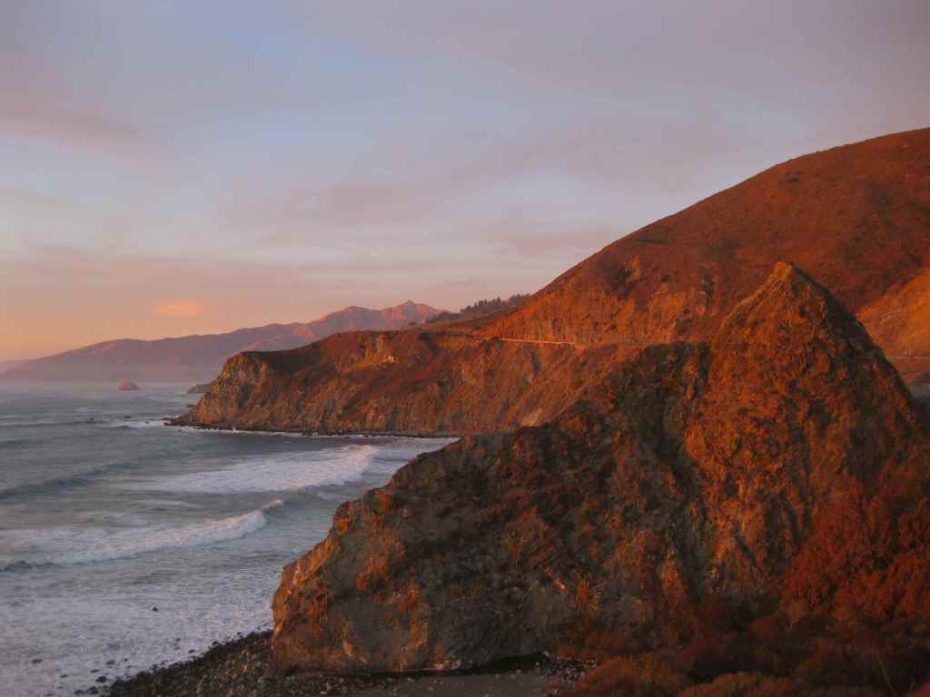
Los Padres National Forest stretches more than 200 miles from Monterrey south beyond Santa Barbara. It contains most of Big Sur, a name that conjures images of craggy cliffs dropping precipitously into white-capped ocean waves. This sparsely inhabited stretch of coastline is known as much for its historic bohemians as its coast redwood trees. It is home to multiple rare tree species with limited native ranges, especially those that can tolerate serpentine soils. As the only National Forest in California that touches the Pacific Ocean, a road trip down scenic Highway 1 should be on everyone’s bucket list, including stops at Julia Pfeiffer Burns State Park, Bixby Creek Bridge, Hearst Castle State Park, and the elephant seal rookery at Piedras Blancas. We have hiked many trails here since Scott taught for three years at Cal Poly State University in San Luis Obispo.
Know someone who loves the National Forests? Gift them our travel guidebook Out in the Woods so they can learn more about this and the 154 other National Forests.
Highlights
Big Sur, Sykes Hot Springs, Salmon Creek Falls, Jade Cove, Cuesta Ridge Botanical Area, Figueroa Mountain, Mt. Pinos, Knapp’s Castle, Seven Falls, Sespe Hot Springs
Must-Do Activity
Los Padres National Forest is 48% designated Wilderness, so the recommended activity is to hike into those natural areas. The Matilija Wilderness is in the Santa Ynez Mountains that loom above the coastal city of Santa Barbara, home to a university, art museum, and historic Presidio built in 1782. If you go to hike to the ruins of Knapp’s Castle in the National Forest, also make a quick stop at Chumash Painted Cave State Historic Park, which contains colorful pictographs dating back to the 1600s. Another popular U.S. Forest Service trailhead located closer to town goes either to Inspiration Point or Seven Falls, the latter a better choice on foggy days, which are common on the coast.
Best Trail
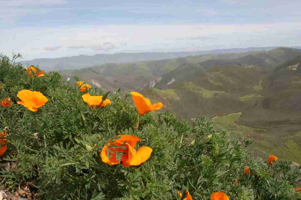
There are 323 miles of incredible hiking trails throughout Los Padres National Forest, including a few that access hot springs. Our favorite trails are in the Santa Lucia Mountains that tower above Big Sur. One pinnacle accessible by trail is Cone Peak at 5,155 feet in elevation. The access road is typically closed in the winter, but when it is open the trail is only 2.3 miles to the summit with a vertical gain of 1,400 feet. Do not expect any shade since multiple fires have burned most of the mountain, although there are still a few surviving examples of the rare Santa Lucia fir tree. Although some areas are no longer vegetated, the plentiful sunshine above the fog belt means there are often incredible displays of wildflowers along the trail early in summer, including lupine, sticky monkeyflower, and yucca.
Watchable Wildlife
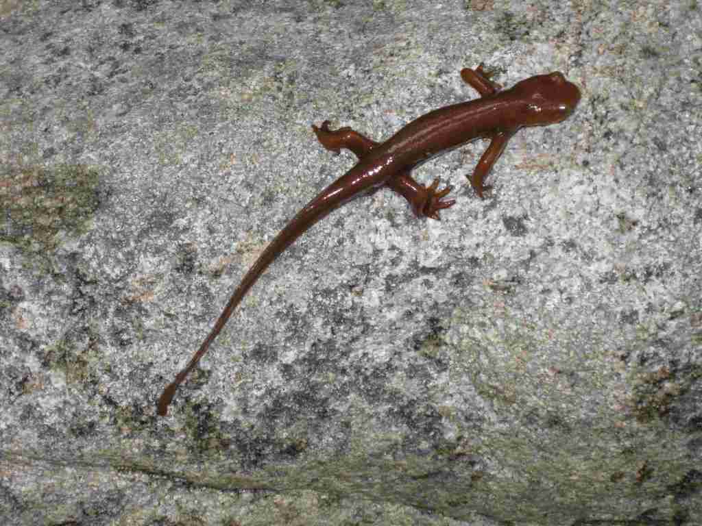
There is a wide range of wildlife found here from sea level up to 8,847 feet in elevation, and the most famous is the reintroduced California condor that nests in the Sespe Condor Sanctuary. Other birds include barn owls, great horned owls, red-tailed hawks, bald eagles, California quail, and California scrub jays. Coyotes, black bears, bobcats, mountain lions, black-tailed deer, bighorn sheep, and raccoons are common large mammals. Species of concern include the foothill yellow-legged frog and California mountain kingsnake. Look for California newts and banana slugs in the moist understory of coast redwood forests.
Photographic Opportunity
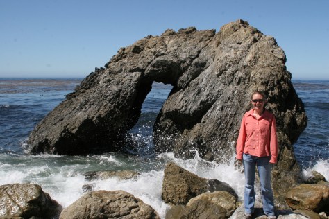
Even if you are not spending the night at Kirk Creek Campground, you can park and walk down the trail to the south that goes past redwood trees to the beach where there is a sea arch and tidepools.
Peak Season
Fall and winter
Fees
$5 per vehicle Adventure Pass (or America the Beautiful pass) required at most trailheads
Road Conditions
There are some steep unpaved roads in Los Padres National Forest, which can be impassable in wet or snowy conditions. Portions of the unpaved Tassajara Road to Chews Ridge are narrow and steep, requiring a four-wheel-drive vehicle to reach Tassajara Hot Springs.
Camping
A night spent listening to the ocean waves breaking far below the U.S. Forest Service’s clifftop Kirk Creek Campground is enchanting, which is why it made it on our list of Top 10 Campgrounds in National Forests. There are 11 campgrounds in total, and a free campfire permit is required if you use a camp stove (which can be obtained online). Sespe Hot Springs is a popular ten-mile one-way backpacking destination.
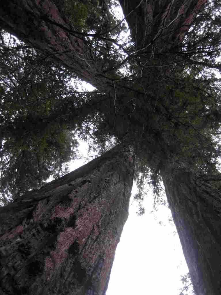
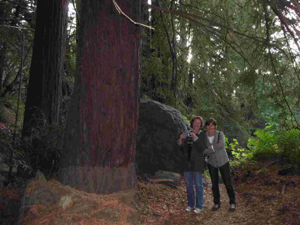
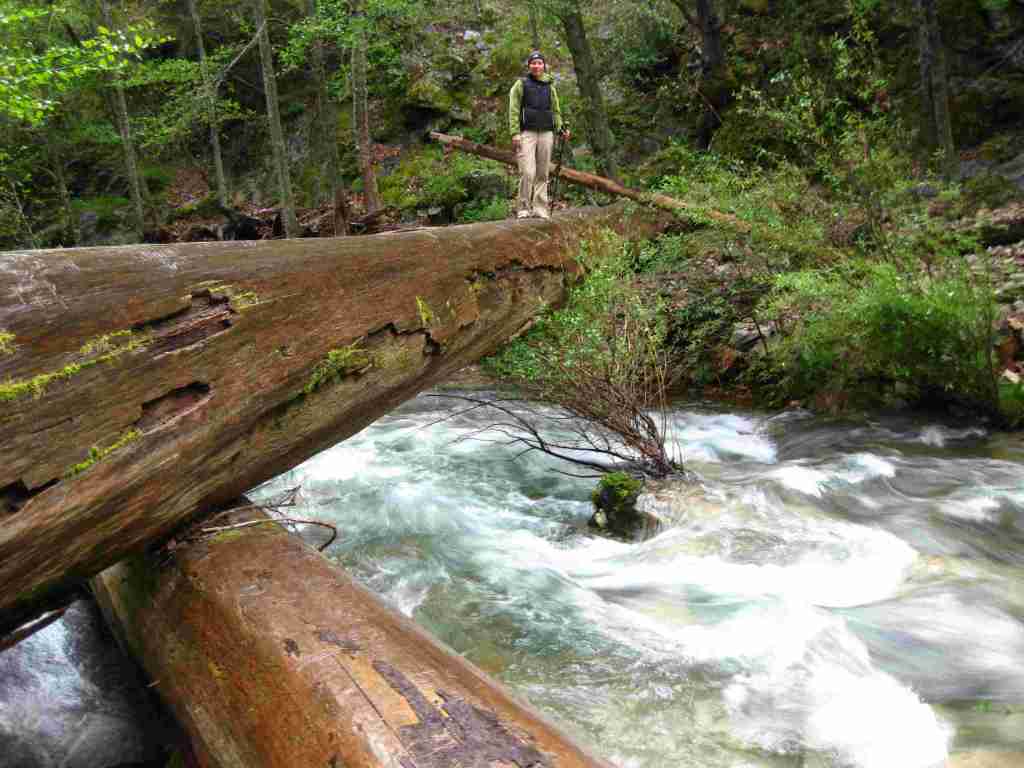
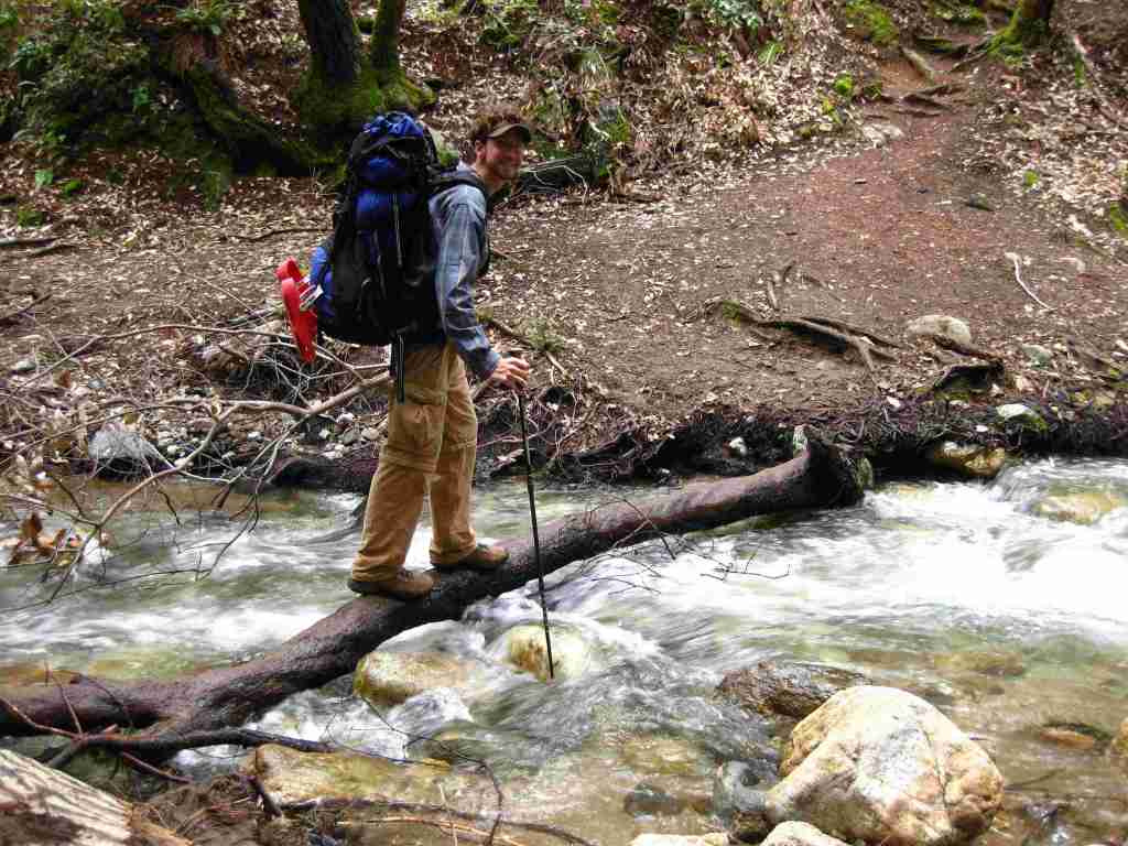
Scott’s mother and aunt in the redwood forestTiff hiking to Sespe Hot SpringsSespe Hot SpringsSticky monkeyflowerScott backpacking to Sespe Hot SpringsHighway 1Scott with a Santa Lucia firScott with a coast redwood treeBanana slugCalifornia newtMt. PinosKirk Creek Campground in Big Sur
coast live oak, California black oak, tanoak, western redbud, Pacific madrone, manzanita
Explore More – What is the name of the nomadic group that lived in Big Sur dating back 5,500 years ago?
Know someone who loves the National Forests? Gift them our travel guidebook Out in the Woods so they can learn more about this and the 154 other National Forests.
Last year we published our guidebook 50 States of Great: Road Trip Guide to America, so we decided to start a new type of blog post where we create a travel itinerary for all 50 states, in addition to our usual National Forest and National Park entries. After starting with Kansas, Georgia, Idaho, Rhode Island, Minnesota, and Hawai‘i we decided to do a state in the southwest. Arizona probably needs two separate itineraries, with the southern deserts being a great destination in the winter and the high-elevation northern part of the state better in the summer (see Day 8+). We made an ambitious seven-day plan starting in the south, with plenty of options to extend the trip. Scott grew up in Arizona, so he could have easily made this a four-week itinerary and still left out many good options.
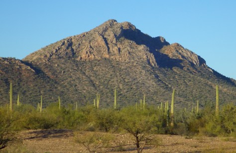
On the Mexican border sits 330,689 acres of undeveloped Sonoran Desert recognized as a UNESCO International Biosphere Reserve in 1976. Its namesake cactus is more common further south and shares this landscape with 27 other species of cacti, including the famous saguaro. The park’s jagged Ajo Mountains are mostly volcanic rhyolite and to see them at their best, we recommend driving the 21-mile dirt road loop in the evening before turning in for the night at the excellent Twin Peaks Campground, run by the National Park Service (NPS).
Arizona has 19 National Monuments (more than any other state), so if you flew into Sky Harbor Airport in Phoenix start with the one located right off Interstate 10.
Desert bighorn sheep can be seen in this remote part of southwest Arizona south of Quartzsite. Cibola and Imperial National Wildlife Refuges along the Colorado River are good spots for birding.
Southwest of Tucson, Arizona in a nondescript stretch of desert are the remains of an underground Intercontinental Ballistic Missile (ICBM) silo built in 1963, during the height of the Cold War. The nuclear warhead and rocket fuel was long ago removed from the site, but otherwise everything has been preserved. A tour guide takes you below ground in the original elevator to explain the steps required to unleash this devastating weapon.
The Catalina Highway ascends from Tucson through multiple life zones from saguaro-dotted desert to ponderosa pine forests at more than 9,000 feet in elevation. The expansive vistas along the drive are worth the many switchbacks, with Windy Point Vista is an especially beautiful wayside in the pinyon-juniper woodland zone. At the base of the Santa Catalina Mountains, also within Coronado National Forest, tram rides are available through beautiful Sabino Canyon Recreation Area.
If you didn’t get your fill of cacti the first day, you will at this park with separate sections east and west of Tucson. If you only have time for one, we recommend the eastern Rincon Mountain District.
South of Tucson in Tubac, San Cayetano de Tumacácori is a Spanish mission founded in 1691 by Padre Kino and abandoned in 1848. It became a National Monument in 1908 when it was restored to its ruined state based on photographs dating from 1868.
The highly decorated cave was not discovered until 1974, when its location was kept a tight secret while efforts were made to preserve it for future visitors. There are two guided tours on paved trails offered, and if you space out your reservations far enough you can take a hike on the 2.4-mile Foothills Loop Trail in between.
Bisbee
The copper mining center of Bisbee was once the largest city between El Paso and San Francisco. The well-maintained Victorian architecture and flights of steep staircases give this border town a unique atmosphere.
The park does not actually contain a statue or large memorial to Coronado. It does have a steep three-quarter mile trail to a 600-foot long limestone cave bearing Coronado’s name, which visitors can explore on their own with flashlights.
Tucked away in the southeastern corner of Arizona, millions of years of erosion left behind a spectacular collection of rhyolite rock formations that rise above surrounding evergreen trees. All the trails are good, but we recommend an all-day hike through Echo Canyon to the Heart of Rocks Loop where you will find formations resembling camels, ducks, and anything else you can imagine.
Salt River Canyon
Start driving north and be sure to stop for photos where U.S. Highway 60 drops steeply into this gorgeous canyon between Globe and Show Low.
Optional stop at Wilcox Playa Wildlife Area
In the winter, sandhill cranes stay in large numbers in the wetlands south of Wilcox and Interstate 10.
To visit the NPS visitor center, the literal “must-do activity” is to hike 1.5 miles from the trailhead. You do pass interpretive signs, a cemetery, and ruins along the way.
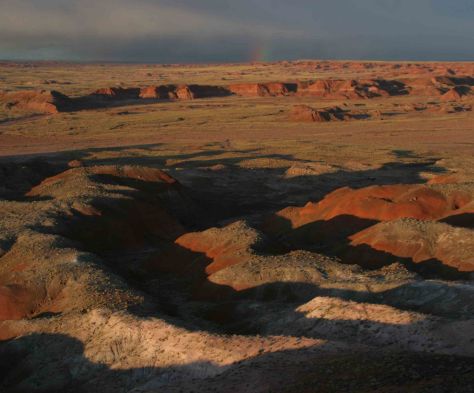
A paved walkway behind the Rainbow Forest Museum is a great place to start, as NPS rangers give guided tours there throughout the day. It is worth a hike to Agate House and a connection to the Giant Logs Trail to see more petrified wood, but be sure to bring water with you in the summer since there is no shade.
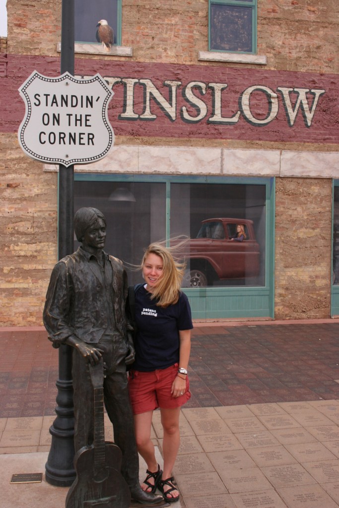
“Standin’ on the corner” statue in Winslow
Jackson Browne and Glenn Frey probably could not have guessed when they penned the 1970s anthem “Take It Easy” that it would inspire a statue in an Arizona town on historic Route 66. Perhaps even more fitting is the mural behind it that shows the reflection of a girl driving a flatbed truck. Located off Interstate 40, Winslow is a great place “to loosen your load.”
Cameron Trading Post
As a kid, Scott’s family would always spend the night at the hotel here before taking friends and family to the Grand Canyon National Park. Try the mutton stew or Indian taco in the restaurant at this historic spot.
Optional stop at Meteor Crater
There is a good museum at this big, round hole in the ground along Interstate 40. It is definitely worth seeing once in your life.
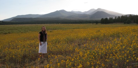
Heading north from Flagstaff, a 36-mile loop drive through Sunset Crater Volcano National Monument to adjacent Wupatki National Monument passes by the red-hued cinder cone through ponderosa pine forests and sunflower-filled meadows on its way to an arid, rocky high desert region that is dotted with Sinagua ruins from around AD 1100. Nearby cliff dwellings were built in Walnut Canyon National Monument around the same time by another group of Sinagua. To get up close with the cliff dwellings inside shallow limestone caves requires a hike down 200 stairs on the one-mile loop Island Trail.
Visit the South Rim of the park from the less busy eastern entrance and stop at the Watchtower and other scenic views along the way. It is worth spending a few nights here and hiking (or riding a mule) to the bottom of the canyon, but that is not for everyone. If you come in the summer, consider a trip to the North Rim or remote Toroweap (online permit required).
Optional stop at Little Colorado River Gorge Navajo Tribal Park
Famous for art galleries and New Age mysticism, the red rock city of Sedona offer plenty of stores and restaurants. Be sure to leave some time to explore some unpaved roads and hiking trails in the surrounding area.
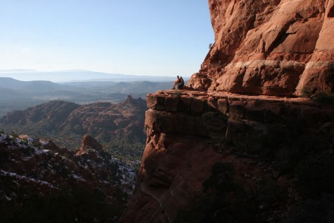
There are numerous trails in the National Forest around Sedona, where sandstone buttes (like Bell Rock and Cathedral Rock) dominate the landscape. The shady West Fork Trail in Oak Creek Canyon is perfect on hot summer days, though in the winter it is also beautiful covered in snow and ice.
Optional stop at Sycamore Canyon Wilderness
This designated Wilderness (55,937 acres) is shared between three National Forests: Coconino, Kaibab, and Prescott. The easiest way in is on the Parsons Trail located outside Clarkdale, west of Sedona. The trailhead is accessed by driving the dirt Forest Road 131 for 10.5 miles from where it splits off near Tuzigoot National Monument.
The Sinagua pueblo at Tuzigoot had about 110 rooms and is estimated to have housed 200 to 300 people. You can walk inside portions of the ruin, including a section with a reconstructed roof.
These cliff ruins east of Phoenix are worth the hike up to, as are many parts of Tonto National Forest, especially the Flat Iron, Hieroglyph Canyon, and Weaver’s Needle.
This is a unique NPS site with livestock (sheep, horses, turkeys) and a hands-on play area for children, as well as the original dusty store which allows visitors to travel back into the late-1800s. There are frequent Navajo rug weaving demonstrations and tours inside the Hubbell Home are available for a fee.
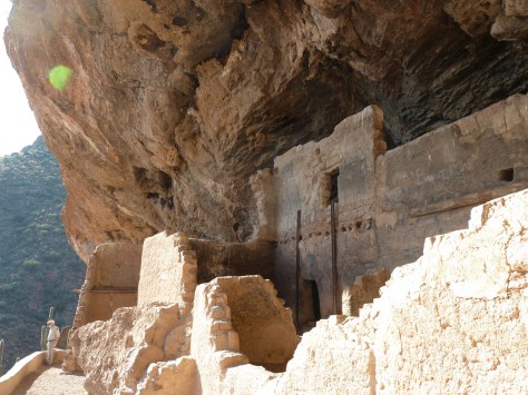
In the heart of the Navajo Nation in northeast Arizona lies this picturesque National Monument. Humans have inhabited this area for 4,500 years, leaving behind numerous pictographs and the dramatic ruins of Ancestral Puebloan cliff dwellings.
Visitors can reserve spots on the ranger-led day hike to Betatakin cliff dwelling or the 20-person backpacking trips to Keet Seel that are offered twice per month in the summer. The latter is a strenuous trip covering 17 miles total with numerous stream crossings and all water must be carried in. The hardest part is at the end, when a 1,000 foot climb awaits, but it is worth it to be one of the few who get to see Keet Seel, the 150-room ruin that is second in size only to Cliff Palace at Mesa Verde National Park.
Monument Valley Navajo Tribal Park
On the border of Arizona and Utah, entrance into Monument Valley Navajo Tribal Park allows you to see the iconic Mitten Buttes in person, which have served as a backdrop for countless films. You can even pitch your tent at The View Campground overlooking the red rock formations.
Havasupai Reservation
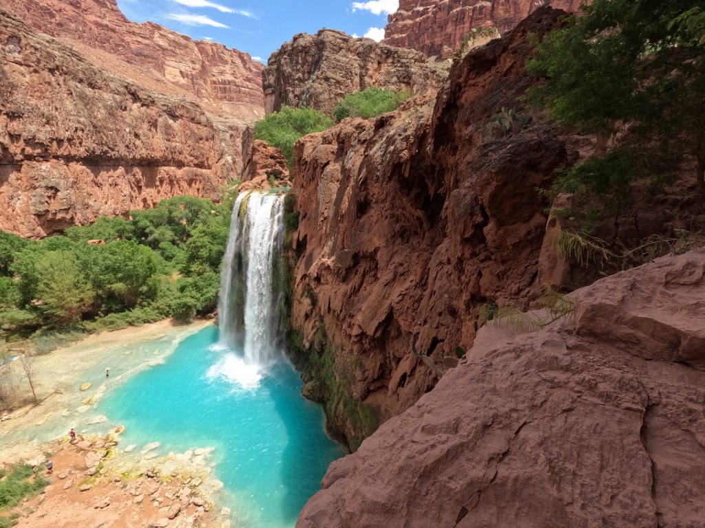
It is hard to argue against Mooney Falls and the other waterfalls in Havasu Canyon as being the most outstanding in the state, but it can be difficult (and expensive) to obtain one of the limited reservations available to visit the Havasupai Reservation that borders Grand Canyon National Park.
Retention ponds keep this area green in the hot summer months where ducks paddle and dragonflies buzz through the humid air. When a NPS ranger is present, you can walk around inside Winsor Castle, a Mormon fort that dates back to 1870.
Antelope Canyon
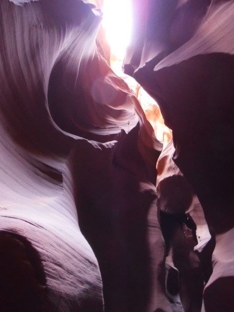
Guided tours are required to access these beautiful slot canyons located on private land on the Navajo Nation
You might want to bring your “selfie stick” to iconic Horseshoe Bend Overlook, a short 0.7-mile one-way hike from the parking area on Highway 89 outside Page.
At Arizona Hot Springs, pools are formed by sandbags in a narrow canyon. It is accessible from Liberty Bell Trailhead by a 6.5-mile out-and-back hike through a beautiful arroyo down to Black Canyon (now the upper reaches of Lake Mohave formed by a dam) on the Colorado River. The trail is closed during the hot summer months, but you can still access it by boat from Willow Beach Marina or just downstream from the Hoover Dam (with a special permit). Further south on Lake Mohave, stop at Emerald Cove for incredible photographs.