Tag Archives: wildlife

South Dakota Road Trip Itinerary

48,519,040 acres

Statehood 1889 (40th)

Capital: Pierre

Population:  886,667 (46th)

High Point: Black Elk Peak (7,242 feet)

Best time of year: Summer

Last year we published our guidebook 50 States of Great: Road Trip Guide to America, so we decided to start a new type of blog post where we create a travel itinerary for all 50 states, in addition to our usual National Forest and National Park entries.  After starting by jumping around to Kansas, Georgia, Idaho, Rhode Island, Minnesota, Hawai’i, Arizona, and Louisiana, we chose one of our favorite states to visit.  Just in time for summer (and the Custer State Park chip flip), we made an ambitious seven-day plan starting in the east near Sioux Falls and following Interstate 90 west, with plenty of options to extend the trip. See for yourself why South Dakota made it on our Top 10 States for State Parks and Top 10 States for National Park Service Sites list.

Day 1

Palisades State Park

Start your trip near Sioux Falls, where pink formations of quartzite rock rise above muddy Split Rock Creek below.  It is a great spot for a picnic, and you might get to watch rock climbers across the creek repelling down the steep cliffs. 

Optional stop at Falls Park

Not only is Sioux Falls the largest city in the state, it is also home to Falls Park where the Big Sioux River tumbles down 100 feet of rosy quartzite in a series of photogenic cascades. 

Day 2

Corn Palace

Not far off Interstate 90 in Mitchell is a great wonder of human creativity dating back to 1892.  Each year a new theme is chosen by artists who design images to decorate the outside of the building completely with organic materials.  By the end of the summer, the face of this unique building is covered with 275,000 ears of corn in a variety of colors.  Be sure to go inside the building to see pictures of past palaces, turn a millstone to grind our own cornmeal, and learn fun facts. 

Dignity sculpture

Also on Interstate 90, there is a new 50-foot sculpture of a Native American woman wearing a traditional star quilt entitled Dignity of Earth and Sky.

State Capitol Building

Visit inside the capitol to learn why the tiny town of Pierre (pronounced “peer”) was chosen as the state’s capital city in 1889 and how the building was constructed starting in 1905.

Optional stop at Fort Pierre National Grassland (click here for our complete blog post)

Look online for the publication South Dakota Fishing Guide to the National Grasslands, which provides information on 41 fishing ponds in the National Grassland.  Originally built in 1934, Richland Dam was renovated in 2014 and now features handicapped-accessible fishing and a concrete boat ramp.  Fishing ponds are generally open December 1 to August 31 to avoid overlap with hunting season.

Day 3

Badlands National Park (click here for our complete blog post)

Beyond the geologic formations and hiking trails, this is a good place to camp at the developed Cedar Pass Campground, free Sage Creek Primitive Campground (which can be crowded in the summer), or backpacking out with the bison.  Bighorn sheep are also common, and porcupines, surprising for as treeless as it is.  Prairie dog towns make for an endless variety of entertainment and provide habitat for burrowing owls, prairie rattlesnakes, and endangered black-footed ferrets that have been reintroduced throughout South Dakota. 

Optional stop at Minuteman Missile National Historic Site (click here for our complete blog post)

Outside Badlands National Park on Interstate 90, a small museum and ranger-guided tours of the Delta-01 launch control facility.  Tours have very limited space and a nominal fee, but are no longer solely first-come-first served thanks to an online reservation system. 

Day 4

Wall Drug

Perhaps the greatest roadside attraction in the entire world, famous since 1936 for its “Free Ice Water” road signs.  Today Interstate 90 is inundated with Wall Drug billboards for miles in each direction.  Ice water is still free and the café still offers a cup of coffee for only five cents, as well as the best soft-serve ice cream we have ever tasted.  In the Wall Drug Backyard, you can even ride atop a ten-foot-tall jackalope; and do not leave without a free bumper sticker.

Optional stop at the National Grasslands Visitor Center

This serves as the main interpretive site for all 20 National Grasslands (plus Midewin National Tallgrass Prairie).  The exhibit hall is still under reconstruction following a flood that forced a relocation into a temporary trailer for years, but the theater is reopened showing a short film. 

Optional stop at the South Dakota Air & Space Museum

Admission is free to this museum (currently closed for construction) seven miles east of Rapid City on Interstate 90.  It sits next to Ellsworth Air Force Base, but you do not have to pass through military security to enter.  An impressive B-1B Lancer sits out front alongside other historic aircraft, with many more located inside the hangars.

Day 6

Mount Rushmore National Memorial (click here for our complete blog post)

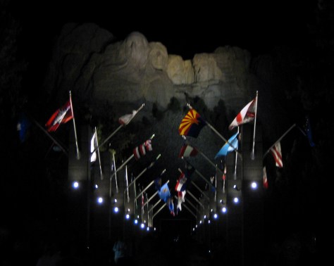
This icon of South Dakota is inspiring to see during the day, but for the full patriotic effect do not miss the night lighting ceremony offered May to September. 
Needles Highway

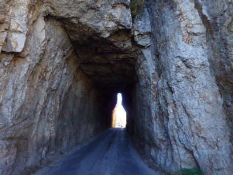
The 14-mile-long Needles Highway was completed in 1922 and is known for its narrow, one-lane tunnels that run straight through mountainsides and the natural arch aptly named the Needle’s Eye (Custer State Park admission required).  Trails leave from along its length to access the Cathedral Spires, Black Elk Peak, Sylvan Lake, and Little Devil’s Tower.  To the northeast, the Highway 16A section of the Peter Norbeck Scenic Highway utilizes more one-lane tunnels and fascinating corkscrew turns called “pigtail bridges” to connect Custer State Park with Mount Rushmore National Memorial (no admission fee required when simply driving through).
Optional stop at Crazy Horse Memorial

Under construction since 1948, this privately-funded monument continues to be carved and blasted to this day.  In addition to the 563-foot-tall memorial to the legendary fighter and leader of the Oglala Lakota, the site also has the Indian Museum of North America full of outstanding artwork and artifacts.  Special tours can be booked up to the 87-foot-tall head of Crazy Horse, plus, a laser-light show runs nightly in the summer.  There is a pretty good view from the highway if you do not want to pay the admission fee.

Day 5

Custer State Park

World famous for its Buffalo Roundup every September, this park has so much more than bison (see Needles Highway above).  Visitors can see bighorn sheep, mountain goats, pronghorn, elk, mule deer, white-tailed deer, coyotes, turkeys, golden eagles, and you might even get nose-to-nose with one of the feral burros that roam free and love handouts. You may find yourself stuck waiting out a “bison jam” as the large ungulates cross a road. 

Wind Cave National Park (click here for our complete blog post)

The interior of Wind Cave is a constant 53°F, so bring a jacket if you sign up for the Natural Entrance Tour, which involves entering a vapor lock revolving door and descending stairs.  On the Candlelight Tour you carry lightweight metal candle-lanterns, just like 19th-century tourists.  It is only offered in the summer and explores an unlit section of the cave.  There are several good trails that traverse the prairie and canyons and we enjoy backpacking (free permit required) on Highland Creek Trail where we always see bison.

Optional stop at Black Hills National Forest (click here for our complete blog post)

Surrounding Custer State Park and Mount Rushmore and spilling into the state of Wyoming, it is home to a fun hike to the state’s high point at 7,242-foot tall Black Elk (formerly Harney) Peak rising in the center of the beautiful Black Elk Wilderness.  We also recommend Old Baldy Trail and Buzzards Roost Trail.

Day 7

Jewel Cave National Monument (click here for our complete blog post)

Currently, Jewel Cave ranks third worldwide with over 160 miles in mapped passages, and based on air flow estimates the cave is less than 10% mapped.  The namesake jewels are actually boxy calcite formations, which crystalized out of water in a manner similar to the way a bathtub ring forms.  The Wild Caving Tour and Lantern Tour are our favorite ranger-guided tour options.

Optional stop at Buffalo Gap National Grassland (click here for our complete blog post)

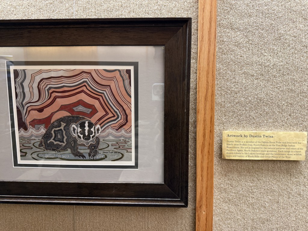
The only developed site of this sprawling area is located at French Creek Agate Beds, where there is a campground and rockhounding is legal for Fairburn agate (the official State Gem of South Dakota), rose quartz, and banded jasper.
Day 8+

George S. Mickelson Trail

This flat trail runs 109 miles from Deadwood to Edgemont along the former Burlington Northern rail line, but you can choose to hike as far as you like (day-use fee).  Like many rails-to-trails projects, this route is wide enough to accommodate bikes and includes many bridges and tunnels, like those near the Mystic Trailhead.

Spearfish Canyon Nature Area

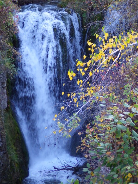
A scenic byway follows Highway 14A south of Interstate 90 past roadside Bridal Veil Falls and Spearfish Falls.  The limestone cliffs of the canyon are sprinkled with ponderosa pine trees and the creek is lined by deciduous trees that add to the beauty when changing colors in late-September (around Buffalo Roundup weekend).  It is free to park at 30-foot-tall Roughlock Falls (pictured below), but this small park can get congested. 
Geographic Center of the Nation

Belle Fourche is home to a 21-foot-wide monument with a visitor center and museum at the site designated by the National Geodetic Survey as the center of the 50 states after Alaska and Hawai‘i were added in 1959.

Petrified Wood Park in Lemmon

A free park filled with locally gathered petrified wood and other geological specimens. The “world’s largest collection” also has a free museum constructed out of petrified wood that is open from Memorial Day to Labor Day.

Missouri National Recreational River (click here for our complete blog post)

In southeast South Dakota, the river’s lower segment runs 59 miles from the Gavins Point Dam to Ponca State Park, plus a 39-mile stretch was added from the Fort Randall Dam to Niobrara State Park, and includes 20 miles of the Lower Niobrara River (which is itself designated a National Scenic River upstream in Nebraska). 

Learn more about South Dakota’s Most Scenic Drive, Top State Park, and other categories in our travel guidebook 50 States of Great: Road Trip Guide to America.

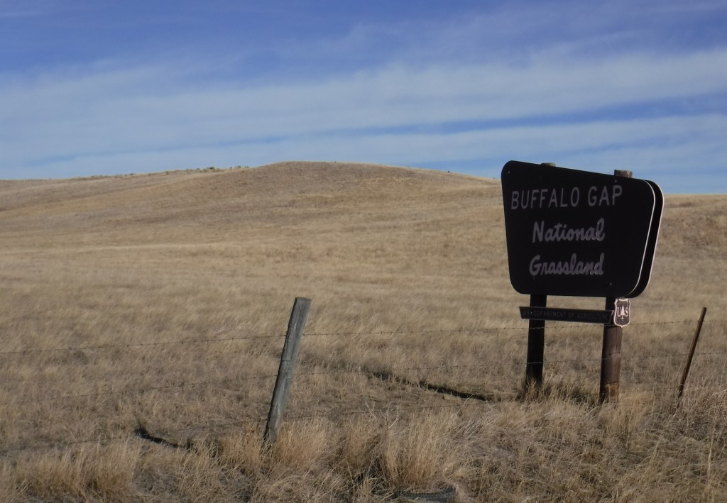
Buffalo Gap National Grassland

Buffalo Gap National Grassland

South Dakota

Managed by U.S. Forest Service, Rocky Mountain Region

Established 1960

679,805 acres (595,715 federal/ 84,090 other)

Website: https://www.fs.usda.gov/r02/nebraska/recreation/buffalo-gap-national-grassland

Overview

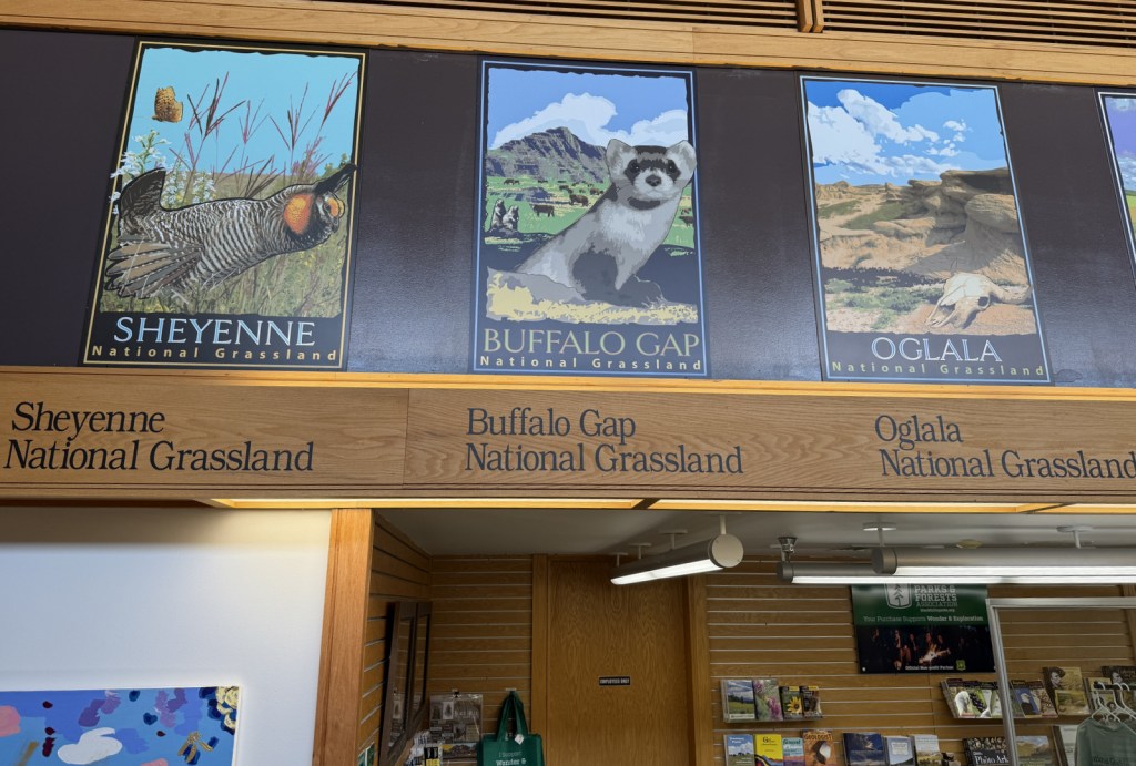
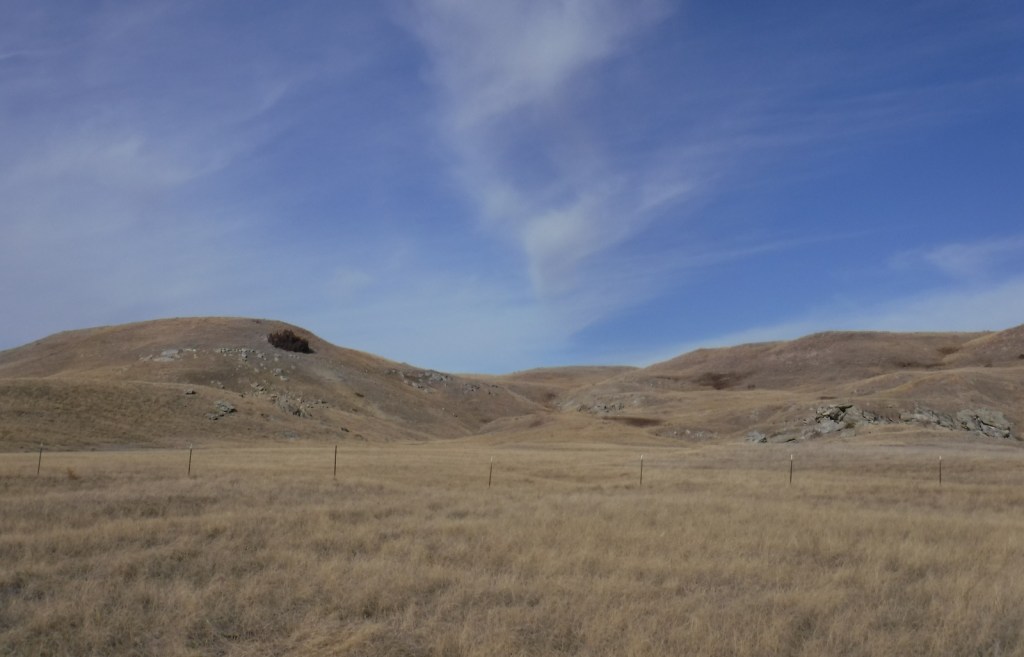
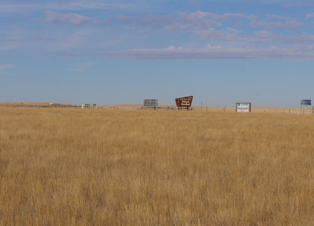
Buffalo Gap is the second-largest National Grassland and it surrounds Badlands National Park and Minuteman Missile National Historic Site east of Black Hills National Forest.  The town of Wall, South Dakota is home to the National Grasslands Visitor Center, which serves as the main interpretive site for all 20 National Grasslands (plus Midewin National Tallgrass Prairie).  The exhibit hall is still under reconstruction following a flood that forced a relocation into a temporary trailer for years, but the theater is reopened showing a short film.  This is a good spot to pick up a map and buy some hard-to-find National Grassland merchandise. 

Highlights

National Grasslands Visitor Center, French Creek Agate Beds

Must-Do Activity

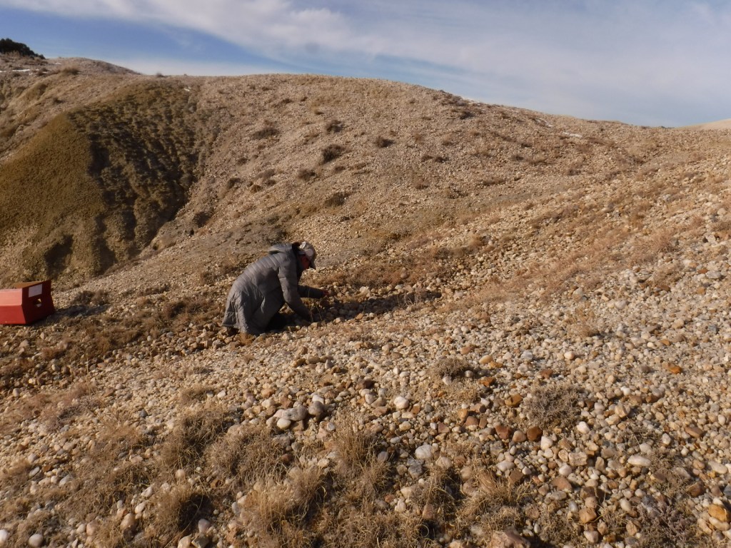
After starting your visit at the National Grasslands Visitor Center in Wall (and making a required visit to Wall Drug—America’s best roadside attraction), head south through Buffalo Gap National Grassland towards the entrance booth for Badlands National Park (see Photographic Opportunity).  The only developed site is much further west at French Creek Agate Beds, where there is a campground and rockhounding is legal for Fairburn agate (the official State Gem of South Dakota), rose quartz, and banded jasper.  The collection and duplication of vertebrate fossils requires a permit and no commercial gathering of fossils is allowed, except for petrified wood. 

Best Trail

Right to the southeast of the Wyoming border on Highway 18 is a section of Buffalo Gap National Grassland where we did some off-trail hiking along a waterway.  Conata Basin south of Badlands National Park is also a good option for prairie exploration.

Watchable Wildlife

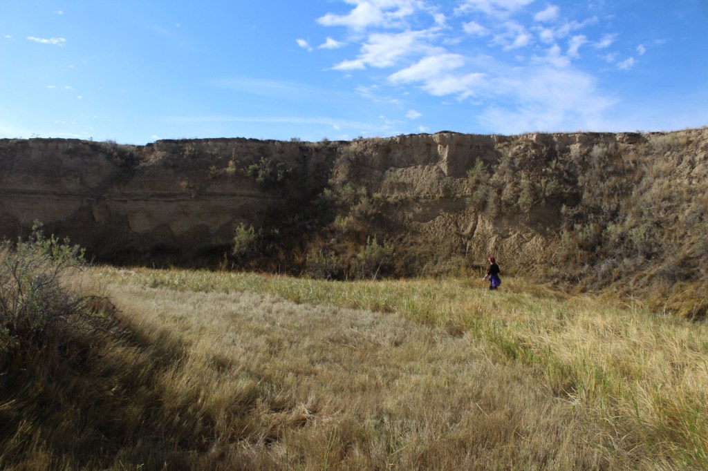
Buffalo Gap National Grassland contains grazing allotments for cattle and domesticated bison herds, as well as wild herds of white-tailed deer and pronghorn.  In 2003, 151 black-footed ferret kits were reintroduced and placed in coyote-free areas, but these nocturnal predators only spend a few minutes above ground each day.  Swift fox and bighorn sheep have also been reintroduced in neighboring Badlands National Park.  Watch in prairie dog towns for burrowing owls and prairie rattlesnakes, as well as northern harriers, prairie falcons, golden eagles, and other raptors. 

Photographic Opportunity

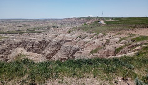
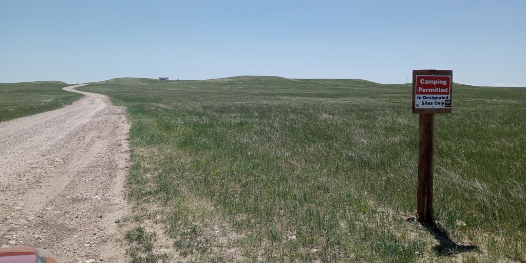
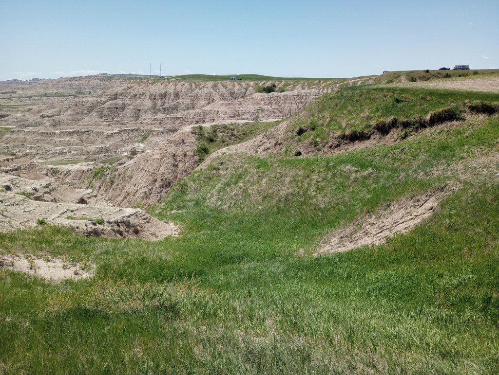
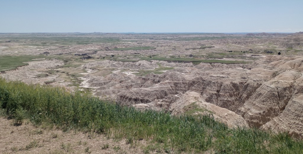
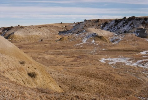
There are free designated campsites along the popular Nomad Vw S Road just north of the Pinnacles Entrance to Badlands National Park, which offer great views from the cliffs above the striped geologic formations.

Peak Season

Summer

Fees

None

Road Conditions

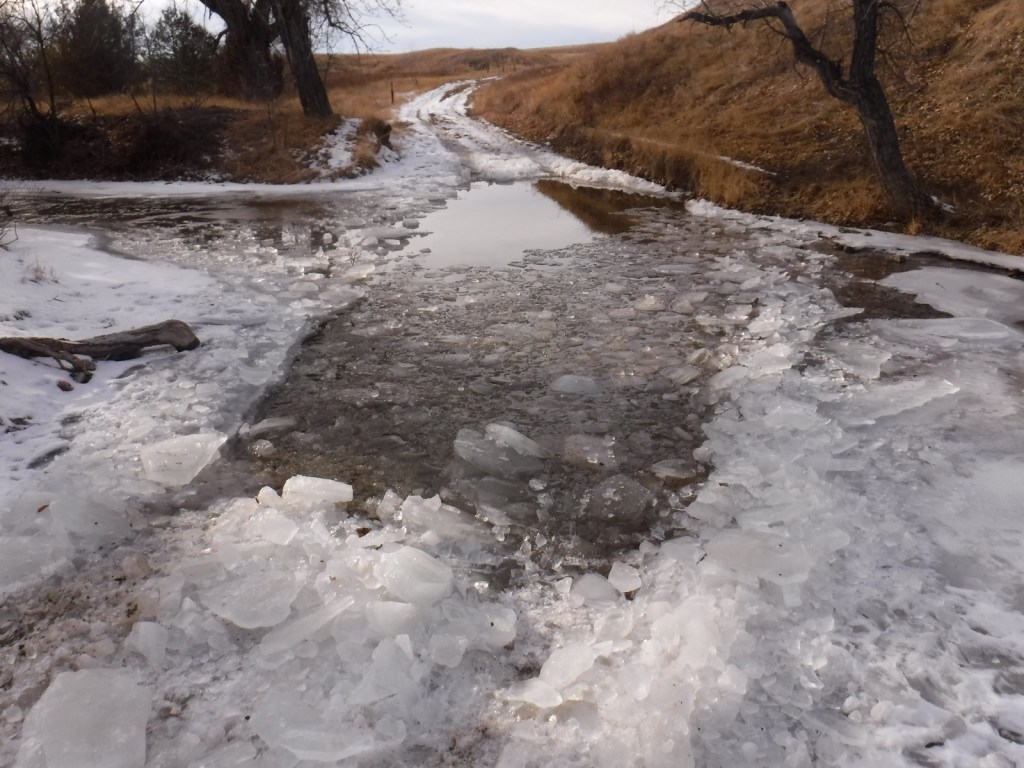
The bentonite clay soils can make the unpaved roads impassable to passenger vehicles when muddy.  There is also a deep stream crossing to access the French Creek Agate Beds that would require high clearance when there is water present. 

Camping

Unlike most National Grasslands, this one has a developed campground at French Creek (fee required) with vault toilets, fire grates, and picnic tables, but no potable water.  It is free to camp in designated sites along the busy Nomad Vw S Road just north of the Pinnacles Entrance to Badlands National Park.

Related Sites

Fort Pierre National Grassland (South Dakota)

Jewel Cave National Monument (South Dakota)

Wind Cave National Park (South Dakota)

Nearest National Park

Badlands

Explore More – What is the status of 48,000 acres of the National Grassland set to be designated as Wilderness in a 2010 bill sponsored by South Dakota Senator Tim Johnson?

Comanche National Grassland

Comanche National Grassland

Colorado

Managed by U.S. Forest Service, Rocky Mountain Region

Established 1960

467,373 acres (443,081 federal/ 24,292 other)

Website: https://www.fs.usda.gov/psicc

Overview

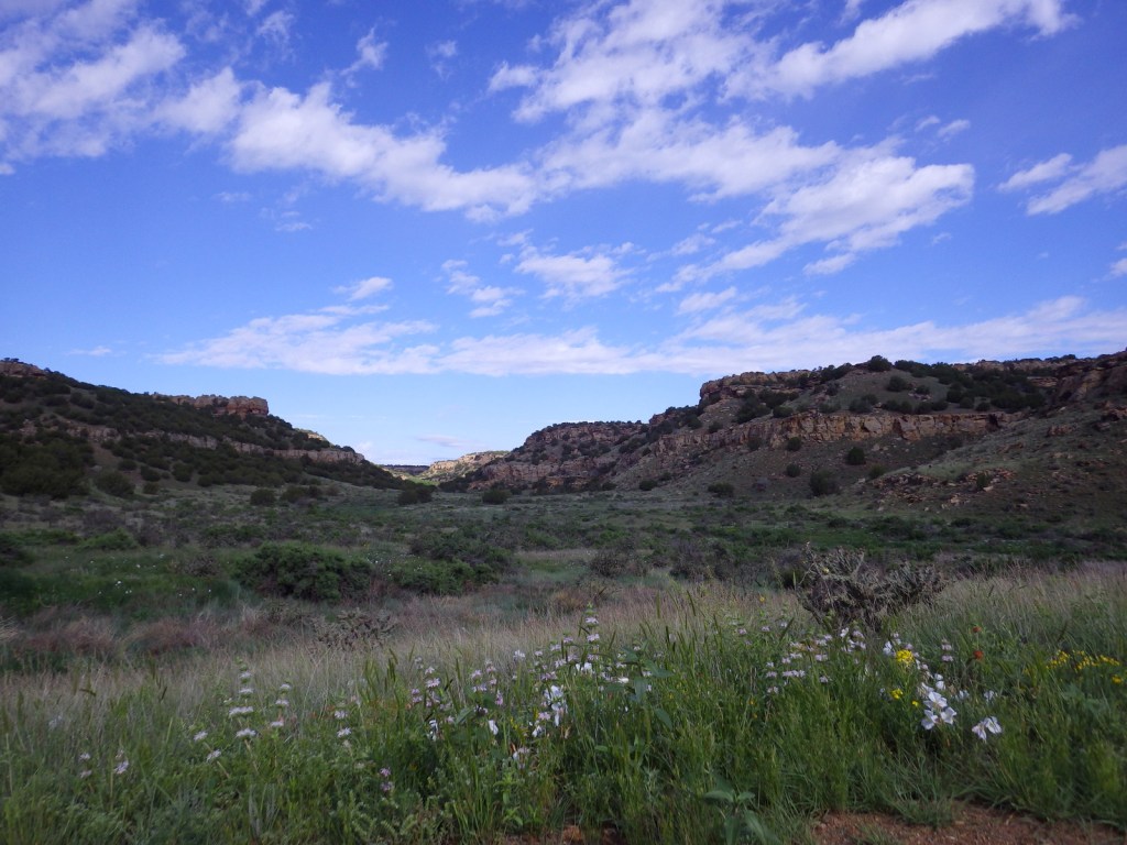
Near the Oklahoma border in southeast Colorado, Comanche National Grassland is comprised of two areas of shortgrass prairie co-managed with Pike and San Isabel National Forests and Cimarron National Grassland (in nearby Kansas).  The Timpas Unit is in the watershed of the Purgatoire (or Picket Wire) River, while the more southern Carrizo Unit is mostly centered around Carrizo Creek, a tributary of the Cimarron River.  There is a long history of human use of the canyons here, with petroglyphs dating back as far back as 8,000 years.  Before giving the National Grassland its name, the Comanche pushed the Apache out of this area in the 1700s and their circular tipi rings can still be found.  A branch of the Santa Fe National Historic Trail runs through the northern Timpas Unit with interpretive sites at Sierra Vista Overlook and Timpas Picnic Area (including a three-mile trail following the wagon tracks between the two). 

Highlights

Picture Canyon, Crack Cave, Picket Wire Canyon, Dolores Mission, Rourke Ranch, Carrizo Canyon, Vogel Canyon, Santa Fe National Historic Trail

Must-Do Activity

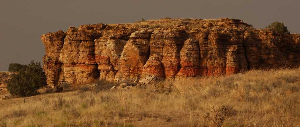
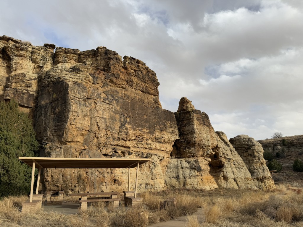
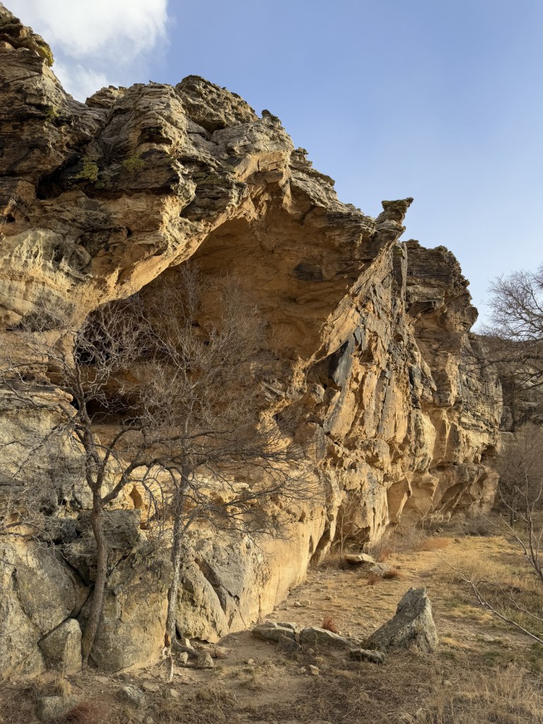
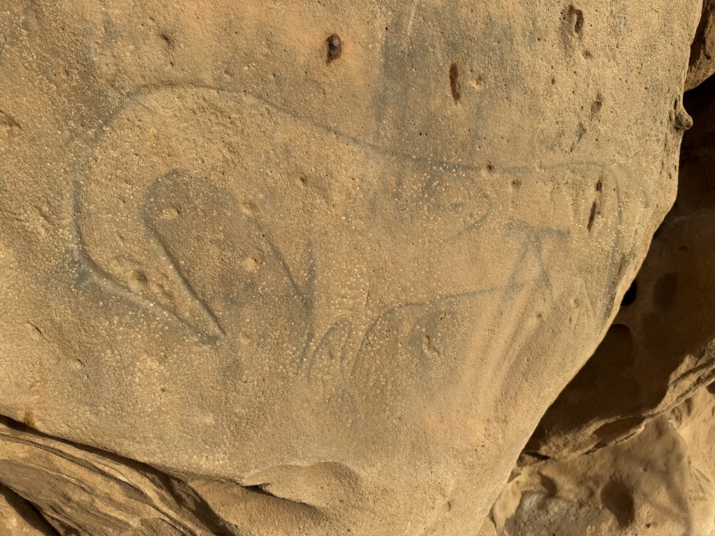
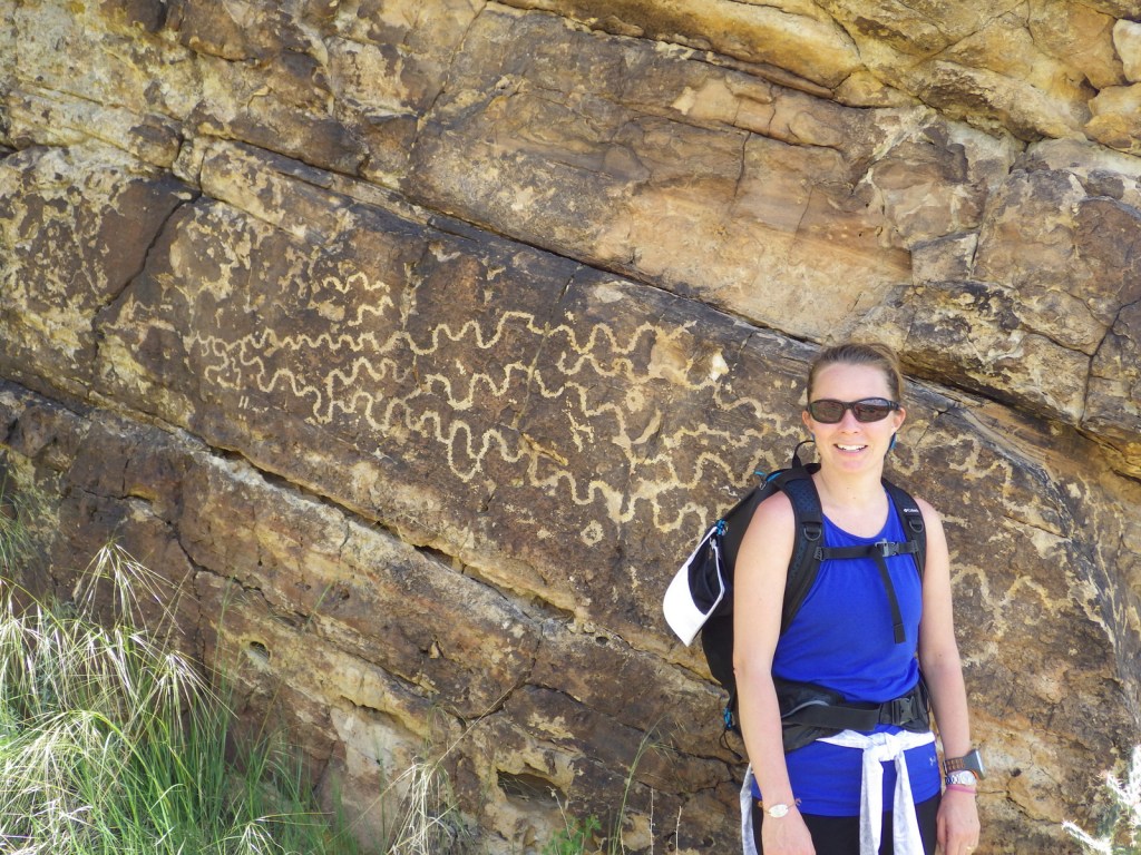
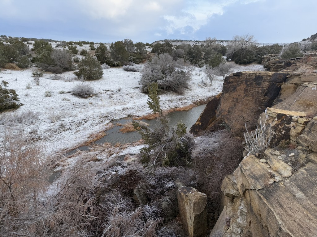
Petroglyphs can be seen on trails near Vogel Canyon and Carrizo Canyon Picnic Areas, with the most famous found in Picture Canyon.  It is about 16 miles of unpaved roads to access Picture Canyon from Highway 287, and there are vault toilets and picnic tables at the site.  From there, the U.S. Forest Service traditionally leads a hike on Arch Rock Trail to Crack Cave on both the spring and fall equinox, when at dawn the sun’s rays illuminate a specific petroglyph that is usually behind a locked gate that blocks a narrow opening in the sandstone.  A similar petroglyph with deeply-carved lines can be seen in an opening above a blue-tinted pictograph about a quarter-mile down the trail.  Rock climbing is also a draw here, with a few permanent anchors in the sandstone behind the picnic tables. 

Best Trail

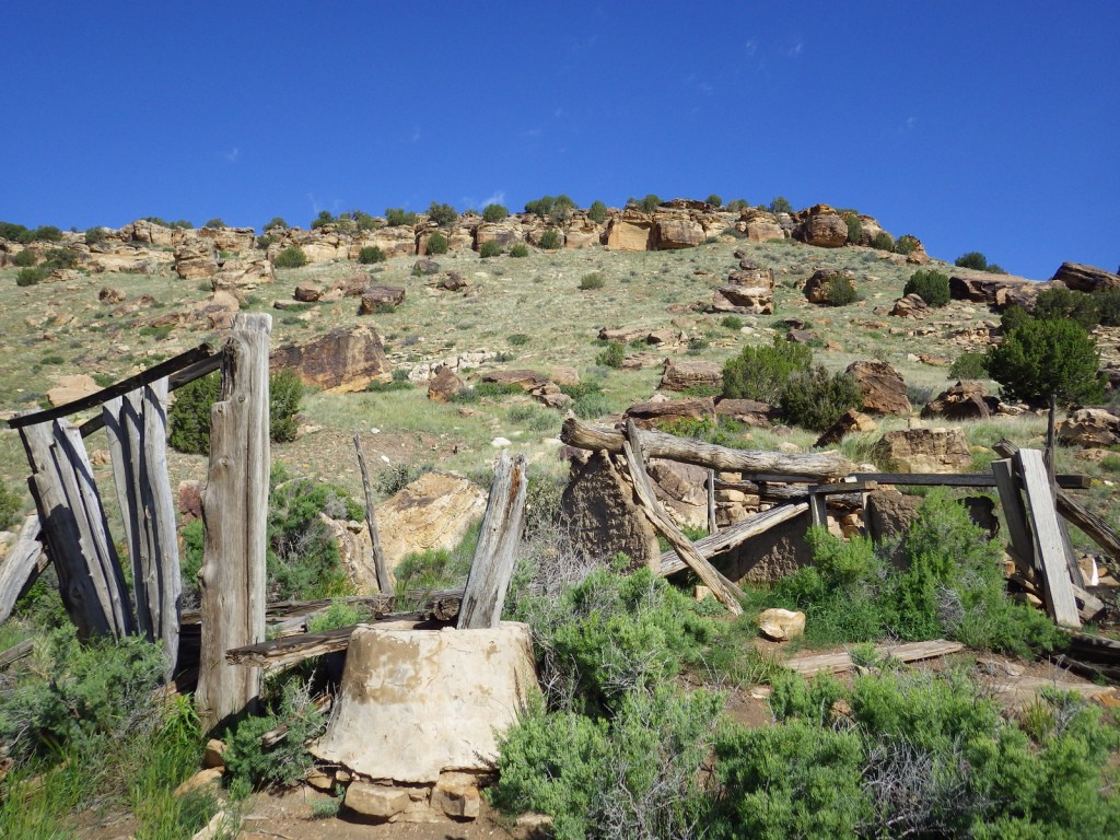
It is a 17-mile drive down unpaved roads to Picket Wire Canyon, where a long trail leads to dinosaur tracks (19 miles out-and-back) and Rourke Ranch National Historic District (25 miles) that dates back to 1871.  There are approximately 1,900 tracks left by Apatosaurs and Allosaurs over 150-million years ago.  Along the way, look for petroglyphs, a model of a dinosaur fossil, and the ruins of Dolores Mission (see Photographic Opportunity). 

Watchable Wildlife

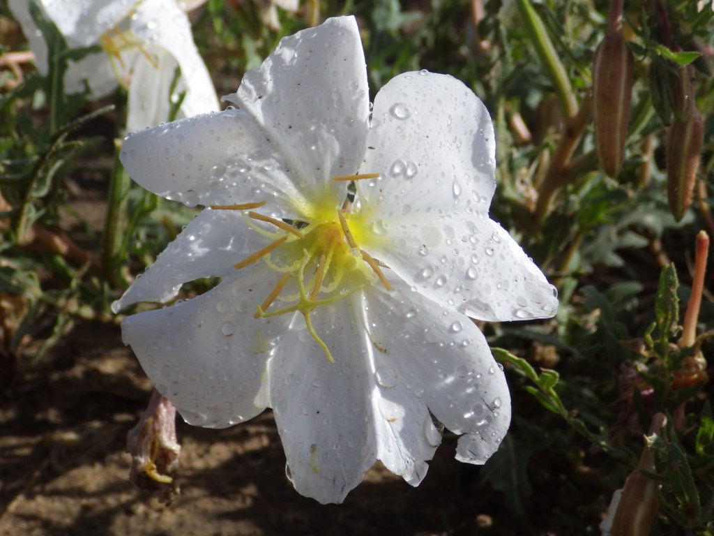
Elevations range from 3,900 to 6,200 feet atop Fallas Mesa with ponderosa pine, pinyon pine, juniper, Gambel oak, and cottonwoods trees found in moister areas.  Yucca and cacti are common in the prairie, as are desert-dwelling creatures like roadrunners and tarantulas (we saw one crossing the road).  Hunters come here for mule deer, elk, pronghorn, and wild turkey in season.  The National Grassland contains a lek for lesser prairie chickens, but it is typically closed during mating season due to their endangered status.  About 328 bird species have been identified here, including many eastern birds at the extent of their range. 

Photographic Opportunity

On the way to the dinosaur track site in Picket Wire Canyon, hikers pass Dolores Mission with a cemetery and the ruins of a small Catholic church dating back to 1898.

Peak Season

Spring and fall

Fees

None

Road Conditions

We have almost gotten stuck twice on the long dirt roads in Comanche National Grassland, once in deep mud following a spring thunderstorm and another time on thick ice following a spring blizzard. 

Camping

It is free to disperse camp almost anywhere not on private lands in Comanche National Grassland, with the exception of the parking lots at the following canyons: Picture, Carrizo, Vogel, and Picket Wire.

Related Sites

Cimarron National Grassland (Kansas)

Bent’s Old Fort National Historic Site (Colorado)

Sand Creek Massacre National Historic Site (Colorado)

Nearest National Park

Great Sand Dunes

Explore More – The markings in Crack Cave are theorized by some people to spell out what word in Ogam (an ancient Celtic alphabet)?

Louisiana Road Trip Itinerary

27,650,496 acres

Statehood 1812 (18th)

Capital: Baton Rouge

Population: 4,657,757 (25th)

High Point: Driskill Mountain (535 feet)

Best time of year: Winter and spring

Last year we published our guidebook 50 States of Great: Road Trip Guide to America, so we decided to start a new type of blog post where we create a travel itinerary for all 50 states, in addition to our usual National Forest and National Park entries.  After starting by jumping around to Kansas, Georgia, Idaho, Rhode Island, Minnesota, Hawai’i, and Arizona, we headed back to the south for Louisiana.  Just in time for Mardi Gras, we made an ambitious seven-day plan starting in New Orleans, with plenty of options to extend the trip.

Day 1

Café du Monde

Eating beignets is a great way to start your trip to Louisiana, and this is the most touristy place to get them, located on the Riverwalk in New Orleans.

National WWII Museum

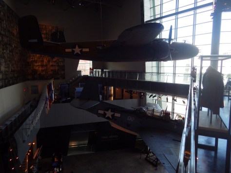
It is easy to spend an entire day here (fee) because of all the interactive exhibits and informational touchscreen kiosks.  You do not even have to leave for lunch, since the Soda Shop and American Sector Restaurant & Bar are on site.  We recommend you purchase a ticket including the 4-D film Beyond All Boundaries and the submarine experience based on the final mission of the USS Tang.  This is our vote for #1 museum in the entire U.S.

French Quarter

Every American needs to visit the French Quarter at least once in their life (although whether that’s during the wildness of Mardi Gras is up to you), and it is walkable from the National WWII Museum.  Consider stopping by iconic Lafayette Square, Old Ursuline Convent Museum, or the New Orleans Pharmacy Museum.

Ghost Tour

We have heard rave reviews about the ghost tours offered in New Orleans, and hope to attend one someday to compare it to the others we have done.

Optional stop at Mardi Gras World Museum

Visit this warehouse (fee) where floats are made for Mardi Gras parades, situated right along the Mississippi River.

Optional stop at Bayou Segnette State Park

We camped here and it felt like we were off in the wild while still within the city’s suburbs.

Day 2

New Orleans Jazz National Historical Park

The New Orleans Jazz Museum (fee) is located in the old U.S. mint building right in the heart of the historic French Quarter.  Check the online schedule for musical performances put on by the National Park Service (NPS) and enter the free visitor center shared with Jean Lafitte National Historical Park and Preserve.

Go out to lunch in New Orleans

Louisiana is famous for its Cajun food, including gumbo, étouffée, jambalaya, po’boys, and red beans and rice.

Jean Lafitte National Historical Park and Preserve (click here for our blog post)

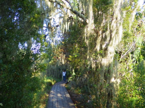
Make sure you visit the 24,000-acre Barataria Preserve to experience the bayous of Louisiana, whether you hike or take a boat tour (fee).  South of downtown New Orleans off Highway 45, keep your feet dry by hiking the boardwalks on the Bayou Coquille Trail.  In addition, this park includes three Acadian Cultural Centers spread throughout southwestern Louisiana.

Optional stop at Chalmette Battlefield

Another part of Jean Lafitte National Historical Park and Preserve encompasses the land where Andrew Jackson led the defeat of the British to retain New Orleans for the U.S. after the end of the War of 1812.

Day 3

Baton Rouge

Check out the art-deco capitol building where you might see white pelicans floating on the lake next door.  We read that the pelican on the state flag is supposed to be a brown pelican (the official state bird) even though the artist made it white so it stood out against the blue background.  Also consider visiting the Old State Capitol, Old Governor’s Mansion, or USS Kidd destroyer ship. 

Optional drive along the Lake Ponchartrain Causeway

Not the most direct route between New Orleans and the capital city, this 23.8-mile causeway is considered the longest continuous bridge over water in the world.  It is free to drive northbound, but don’t attempt it when it’s smoky or foggy, as it becomes very dangerous to drive.

Optional stop at LSU Tigers game

Louisiana State University is located in Baton Rouge and they are famous for their tailgating scene and raucous fans who support their perennially excellent football, women’s basketball, and gymnastics teams.

Day 4

Cat Island National Wildlife Refuge

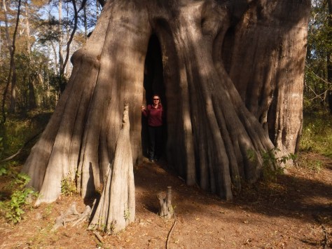
Northwest of Baton Rouge, the largest of all baldcypress trees in the U.S. is found at the end of a flat, half-mile trail, where there is a new boardwalk built around the tree to protect its roots.  This area is located down six miles of dirt road full of potholes (and is sometimes flooded). 

Optional stop at Atchafalaya National Wildlife Refuge

Louisiana is home to 24 National Wildlife Refuges, many found in its southern half where bayous are full of alligators and mostly uninhabited by humans, like this one west of Baton Rouge.

Day 5

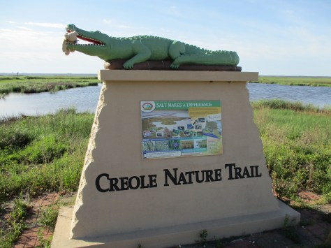
Creole Nature Trail All-American Road

In southwest Louisiana, this route traverses 180 miles of pavement around Calcasieu Lake and the Gulf of Mexico coastline.  Much of the state’s oceanfront is inaccessible swamp, but in this corner of the state there are 26 miles of beautiful sandy beaches where ocean waves and seashells await.  Consider spending the night in Holly Beach.

Sabine National Wildlife Refuge

Further inland, there are 700,000 acres of wetlands that attract waterfowl to Sabine National Wildlife Refuge, while the surrounding area is used by farmers to grow rice and raise crawfish. 

Optional stop at Tabasco Brand Factory Tour and Museum

Before you head west, consider a stop in Avery Island where they have been bottling Tabasco Hot Sauce for over 150 years.

Day 6

Kisatchie National Forest (click here for our blog post)

There are eight parcels that constitute the sprawling 603,360-acre Kisatchie National Forest, which has over 40 developed recreation sites and 100 miles of trails.  It encompasses lakes for boating and swimming, plus baldcypress-lined bayous for canoeing and fishing.  Old-growth longleaf pine forests can be accessed by the paved Longleaf Trail Scenic Byway, just off Interstate 49.  A 1.5-mile interpretive loop at Longleaf Vista is a good place to start.

Red Dirt National Wildlife Management Preserve

Camping is allowed in this area next to the 8,700-acre Kisatchie Hills Wilderness where you can backpack along trails.  Kisatchie National Forest also offers several lakefront camping areas elsewhere.  Lake Fausse Pointe, Lake Bistineau, and Chicot State Parks all have campgrounds with lake access, as well cabins available for rent.

Optional stop at Creole Nature Trail Adventure Point

The Creole Nature Trail Adventure Point is a self-guided audio tour and starts off Interstate 10 in Sulphur, where a museum has hands-on displays that introduce visitors to local wildlife and Cajun culture. 

Day 7

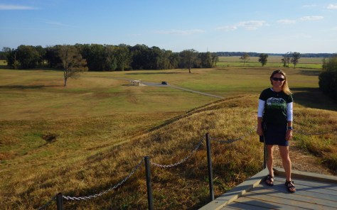
Poverty Point National Monument (click here for our blog post)

Settled 3,700 years ago by hunter-gatherers, this ancient city with a population estimated at 1,500 was situated along Bayou Macon in northeast Louisiana.  The inhabitants constructed several mounds, the most impressive is 72-feet-tall in the shape of a bird, which required approximately 15-million basket-loads of soil to complete. 

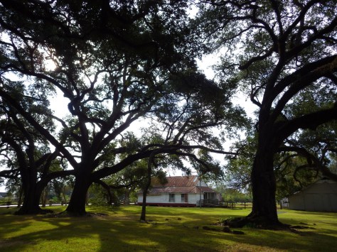
Optional stop at Cane River Creole National Historical Park (click here for our blog post)

Oakland Plantation survived the Civil War intact, but in the wake of Reconstruction tenant farming created a new form of indentured servitude.  Self-guided tours of the site take you through the mule barn, several cottages, and an old general store that still looks open for business along Highway 494.  Slave/tenant quarters are also preserved at Magnolia Plantation downstream, but the main house is closed to the public. 

Optional stop at Sci-Port Discovery Center in Shreveport

This science museum in northwest Louisiana is great for kids and adults with hands-on exhibits, a planetarium, and IMAX theater.

Day 8+

Rayne Frog Festival or Mudbug Madness

Festivals dedicated to celebrating and eating frogs and crawfish; it does not get any more Louisiana than that!  Also, consider arriving during one of the many music festivals dedicated to jazz, zydeco, or other regional musical styles.

Port Hudson State Historic Site

An annual battle reenactment takes place at the site of a siege during the Civil War; further north, another Civil War reenactment is held at Pleasant Hill.

J.C. “Sonny” Gilbert Wildlife Management Area

This forested Wildlife Management Area is located between Monroe and Alexandria in central Louisiana.  It includes Rock Falls, which at 17 feet in height is the tallest waterfall in the state, accessible on a seven-mile trail.

Learn more about Louisiana’s Most Scenic Drive, Top State Park, and other categories in our new travel guidebook 50 States of Great: Road Trip Guide to America.

Arizona Road Trip Itinerary

72,700,211 acres

Statehood 1912 (48th)

Capital: Phoenix

Population: 7,151,502 (14th)

High Point: Mt. Humphreys (12,643 feet)

Best time of year: Winter and spring

Last year we published our guidebook 50 States of Great: Road Trip Guide to America, so we decided to start a new type of blog post where we create a travel itinerary for all 50 states, in addition to our usual National Forest and National Park entries.  After starting with Kansas, Georgia, Idaho, Rhode Island, Minnesota, and Hawai‘i we decided to do a state in the southwest.  Arizona probably needs two separate itineraries, with the southern deserts being a great destination in the winter and the high-elevation northern part of the state better in the summer (see Day 8+).  We made an ambitious seven-day plan starting in the south, with plenty of options to extend the trip.  Scott grew up in Arizona, so he could have easily made this a four-week itinerary and still left out many good options. 

Day 1

Organ Pipe Cactus National Monument (click here for our blog post)

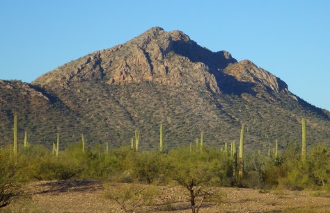
On the Mexican border sits 330,689 acres of undeveloped Sonoran Desert recognized as a UNESCO International Biosphere Reserve in 1976.  Its namesake cactus is more common further south and shares this landscape with 27 other species of cacti, including the famous saguaro.  The park’s jagged Ajo Mountains are mostly volcanic rhyolite and to see them at their best, we recommend driving the 21-mile dirt road loop in the evening before turning in for the night at the excellent Twin Peaks Campground, run by the National Park Service (NPS).

Optional stop at Casa Grande Ruins National Monument (click here for our blog post)

Arizona has 19 National Monuments (more than any other state), so if you flew into Sky Harbor Airport in Phoenix start with the one located right off Interstate 10.

Optional stop at Kofa National Wildlife Refuge

Desert bighorn sheep can be seen in this remote part of southwest Arizona south of Quartzsite.  Cibola and Imperial National Wildlife Refuges along the Colorado River are good spots for birding.

Day 2

Titan Missile Museum

Southwest of Tucson, Arizona in a nondescript stretch of desert are the remains of an underground Intercontinental Ballistic Missile (ICBM) silo built in 1963, during the height of the Cold War.  The nuclear warhead and rocket fuel was long ago removed from the site, but otherwise everything has been preserved.  A tour guide takes you below ground in the original elevator to explain the steps required to unleash this devastating weapon. 

Coronado National Forest (click here for our blog post)

The Catalina Highway ascends from Tucson through multiple life zones from saguaro-dotted desert to ponderosa pine forests at more than 9,000 feet in elevation.  The expansive vistas along the drive are worth the many switchbacks, with Windy Point Vista is an especially beautiful wayside in the pinyon-juniper woodland zone.  At the base of the Santa Catalina Mountains, also within Coronado National Forest, tram rides are available through beautiful Sabino Canyon Recreation Area.

Optional stop at Saguaro National Park (click here for our blog post)

If you didn’t get your fill of cacti the first day, you will at this park with separate sections east and west of Tucson.  If you only have time for one, we recommend the eastern Rincon Mountain District.
Optional stop at Tumacácori National Historical Park (click here for our blog post)

South of Tucson in Tubac, San Cayetano de Tumacácori is a Spanish mission founded in 1691 by Padre Kino and abandoned in 1848.  It became a National Monument in 1908 when it was restored to its ruined state based on photographs dating from 1868.

Day 3

Kartchner Caverns State Park

The highly decorated cave was not discovered until 1974, when its location was kept a tight secret while efforts were made to preserve it for future visitors.  There are two guided tours on paved trails offered, and if you space out your reservations far enough you can take a hike on the 2.4-mile Foothills Loop Trail in between.

Bisbee

The copper mining center of Bisbee was once the largest city between El Paso and San Francisco.  The well-maintained Victorian architecture and flights of steep staircases give this border town a unique atmosphere. 

Optional stop at Coronado National Memorial (click here for our blog post)

The park does not actually contain a statue or large memorial to Coronado.  It does have a steep three-quarter mile trail to a 600-foot long limestone cave bearing Coronado’s name, which visitors can explore on their own with flashlights.

Day 4

Chiricahua National Monument (click here for our blog post)

Tucked away in the southeastern corner of Arizona, millions of years of erosion left behind a spectacular collection of rhyolite rock formations that rise above surrounding evergreen trees.  All the trails are good, but we recommend an all-day hike through Echo Canyon to the Heart of Rocks Loop where you will find formations resembling camels, ducks, and anything else you can imagine. 

Salt River Canyon

Start driving north and be sure to stop for photos where U.S. Highway 60 drops steeply into this gorgeous canyon between Globe and Show Low.

Optional stop at Wilcox Playa Wildlife Area

In the winter, sandhill cranes stay in large numbers in the wetlands south of Wilcox and Interstate 10.

Optional stop at Fort Bowie National Historic Site (click here for our blog post)

To visit the NPS visitor center, the literal “must-do activity” is to hike 1.5 miles from the trailhead.  You do pass interpretive signs, a cemetery, and ruins along the way.

Day 5

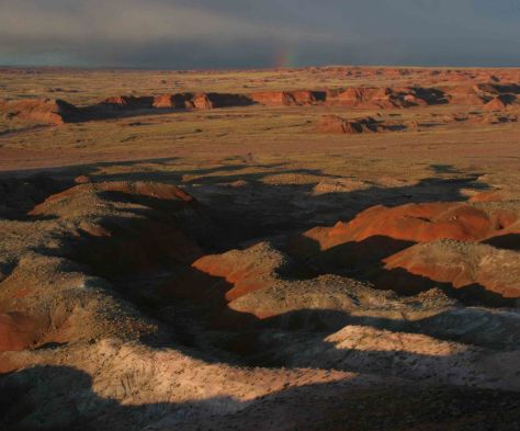
Petrified Forest National Park (click here for our blog post)

A paved walkway behind the Rainbow Forest Museum is a great place to start, as NPS rangers give guided tours there throughout the day.  It is worth a hike to Agate House and a connection to the Giant Logs Trail to see more petrified wood, but be sure to bring water with you in the summer since there is no shade.

“Standin’ on the corner” statue in Winslow

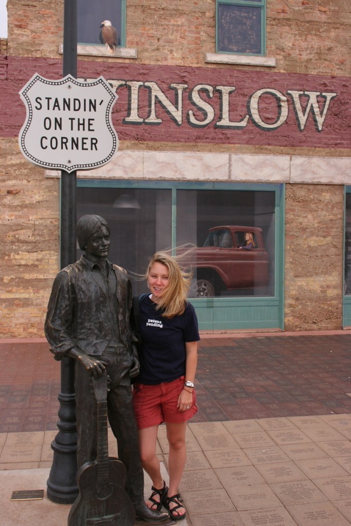
Jackson Browne and Glenn Frey probably could not have guessed when they penned the 1970s anthem “Take It Easy” that it would inspire a statue in an Arizona town on historic Route 66.  Perhaps even more fitting is the mural behind it that shows the reflection of a girl driving a flatbed truck.  Located off Interstate 40, Winslow is a great place “to loosen your load.”

Cameron Trading Post

As a kid, Scott’s family would always spend the night at the hotel here before taking friends and family to the Grand Canyon National Park.  Try the mutton stew or Indian taco in the restaurant at this historic spot.

Optional stop at Meteor Crater

There is a good museum at this big, round hole in the ground along Interstate 40.  It is definitely worth seeing once in your life.

Optional stops at Sunset Crater Volcano, Walnut Canyon, and Wupatki National Monuments (click here for our blog posts)

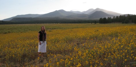
Heading north from Flagstaff, a 36-mile loop drive through Sunset Crater Volcano National Monument to adjacent Wupatki National Monument passes by the red-hued cinder cone through ponderosa pine forests and sunflower-filled meadows on its way to an arid, rocky high desert region that is dotted with Sinagua ruins from around AD 1100.  Nearby cliff dwellings were built in Walnut Canyon National Monument around the same time by another group of Sinagua.  To get up close with the cliff dwellings inside shallow limestone caves requires a hike down 200 stairs on the one-mile loop Island Trail. 

Day 6

Grand Canyon National Park (click here for our blog post)

Visit the South Rim of the park from the less busy eastern entrance and stop at the Watchtower and other scenic views along the way.  It is worth spending a few nights here and hiking (or riding a mule) to the bottom of the canyon, but that is not for everyone.  If you come in the summer, consider a trip to the North Rim or remote Toroweap (online permit required).

Optional stop at Little Colorado River Gorge Navajo Tribal Park

A nice overlook above a canyon along Highway 64 on the way into Grand Canyon National Park.

Day 7

Sedona

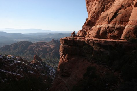
Famous for art galleries and New Age mysticism, the red rock city of Sedona offer plenty of stores and restaurants.  Be sure to leave some time to explore some unpaved roads and hiking trails in the surrounding area.

Coconino National Forest (click here for our blog post)

There are numerous trails in the National Forest around Sedona, where sandstone buttes (like Bell Rock and Cathedral Rock) dominate the landscape.  The shady West Fork Trail in Oak Creek Canyon is perfect on hot summer days, though in the winter it is also beautiful covered in snow and ice.

Optional stop at Sycamore Canyon Wilderness

This designated Wilderness (55,937 acres) is shared between three National Forests: Coconino, Kaibab, and Prescott.  The easiest way in is on the Parsons Trail located outside Clarkdale, west of Sedona.  The trailhead is accessed by driving the dirt Forest Road 131 for 10.5 miles from where it splits off near Tuzigoot National Monument.

Optional stop at Tuzigoot National Monument (click here for our blog post)

The Sinagua pueblo at Tuzigoot had about 110 rooms and is estimated to have housed 200 to 300 people.  You can walk inside portions of the ruin, including a section with a reconstructed roof.

Day 8+

Montezuma Castle National Monument (click here for our blog post)

If you are driving back south on Interstate 17 to Phoenix, this cliff dwelling makes a nice stop to break up the trip.

Tonto National Monument (click here for our blog post)

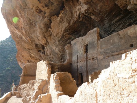
These cliff ruins east of Phoenix are worth the hike up to, as are many parts of Tonto National Forest, especially the Flat Iron, Hieroglyph Canyon, and Weaver’s Needle.

Hubbell Trading Post National Historic Site (click here for our blog post)

This is a unique NPS site with livestock (sheep, horses, turkeys) and a hands-on play area for children, as well as the original dusty store which allows visitors to travel back into the late-1800s.  There are frequent Navajo rug weaving demonstrations and tours inside the Hubbell Home are available for a fee. 

Canyon de Chelly National Monument (click here for our blog post)

In the heart of the Navajo Nation in northeast Arizona lies this picturesque National Monument.  Humans have inhabited this area for 4,500 years, leaving behind numerous pictographs and the dramatic ruins of Ancestral Puebloan cliff dwellings.

Navajo National Monument (click here for our blog post)

Visitors can reserve spots on the ranger-led day hike to Betatakin cliff dwelling or the 20-person backpacking trips to Keet Seel that are offered twice per month in the summer.  The latter is a strenuous trip covering 17 miles total with numerous stream crossings and all water must be carried in.  The hardest part is at the end, when a 1,000 foot climb awaits, but it is worth it to be one of the few who get to see Keet Seel, the 150-room ruin that is second in size only to Cliff Palace at Mesa Verde National Park.

Monument Valley Navajo Tribal Park

On the border of Arizona and Utah, entrance into Monument Valley Navajo Tribal Park allows you to see the iconic Mitten Buttes in person, which have served as a backdrop for countless films.  You can even pitch your tent at The View Campground overlooking the red rock formations. 

Havasupai Reservation

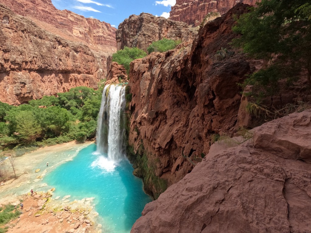
It is hard to argue against Mooney Falls and the other waterfalls in Havasu Canyon as being the most outstanding in the state, but it can be difficult (and expensive) to obtain one of the limited reservations available to visit the Havasupai Reservation that borders Grand Canyon National Park.

Baaj Nwaavjo I’tah Kukveni – Ancestral Footprints of the Grand Canyon National Monument (click here for our blog post)

The newest of Arizona’s 19 National Monuments includes the pictographs in Snake Gulch, part of Kaibab National Forest.

Pipe Spring National Monument (click here for our blog post)

Retention ponds keep this area green in the hot summer months where ducks paddle and dragonflies buzz through the humid air.  When a NPS ranger is present, you can walk around inside Winsor Castle, a Mormon fort that dates back to 1870. 

Antelope Canyon

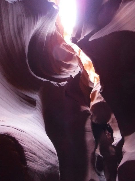
Guided tours are required to access these beautiful slot canyons located on private land on the Navajo Nation

Glen Canyon National Recreation Area (click here for our blog post)

You might want to bring your “selfie stick” to iconic Horseshoe Bend Overlook, a short 0.7-mile one-way hike from the parking area on Highway 89 outside Page.

Lake Mead National Recreation Area (click here for our blog post)

At Arizona Hot Springs, pools are formed by sandbags in a narrow canyon.  It is accessible from Liberty Bell Trailhead by a 6.5-mile out-and-back hike through a beautiful arroyo down to Black Canyon (now the upper reaches of Lake Mohave formed by a dam) on the Colorado River.  The trail is closed during the hot summer months, but you can still access it by boat from Willow Beach Marina or just downstream from the Hoover Dam (with a special permit).  Further south on Lake Mohave, stop at Emerald Cove for incredible photographs.

Learn more about Arizona’s Most Scenic Drive, Wonderful Waterfall, Top State Park, and other categories in our new travel guidebook 50 States of Great: Road Trip Guide to America.