
Ice Age National Scenic Trail
Wisconsin
Managed by National Park Service
Established 2023
1,200 miles
Website: nps.gov/iatr
Overview
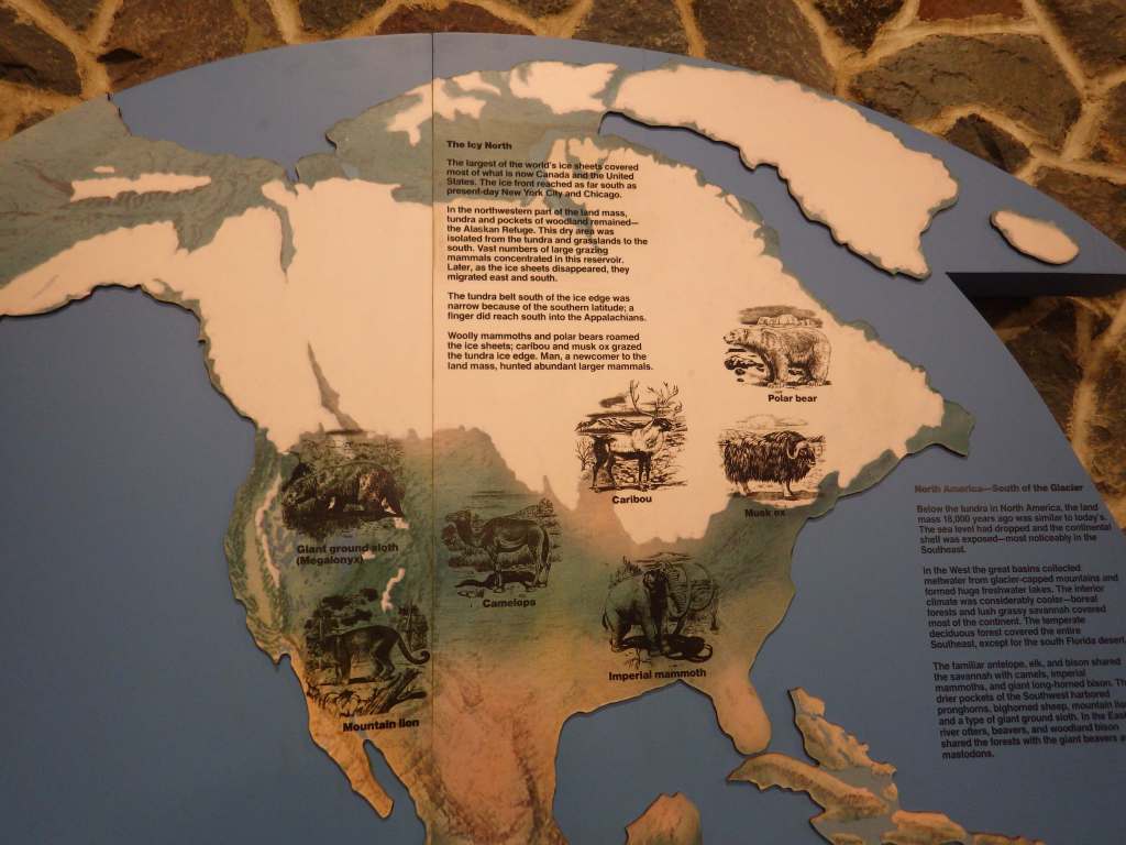
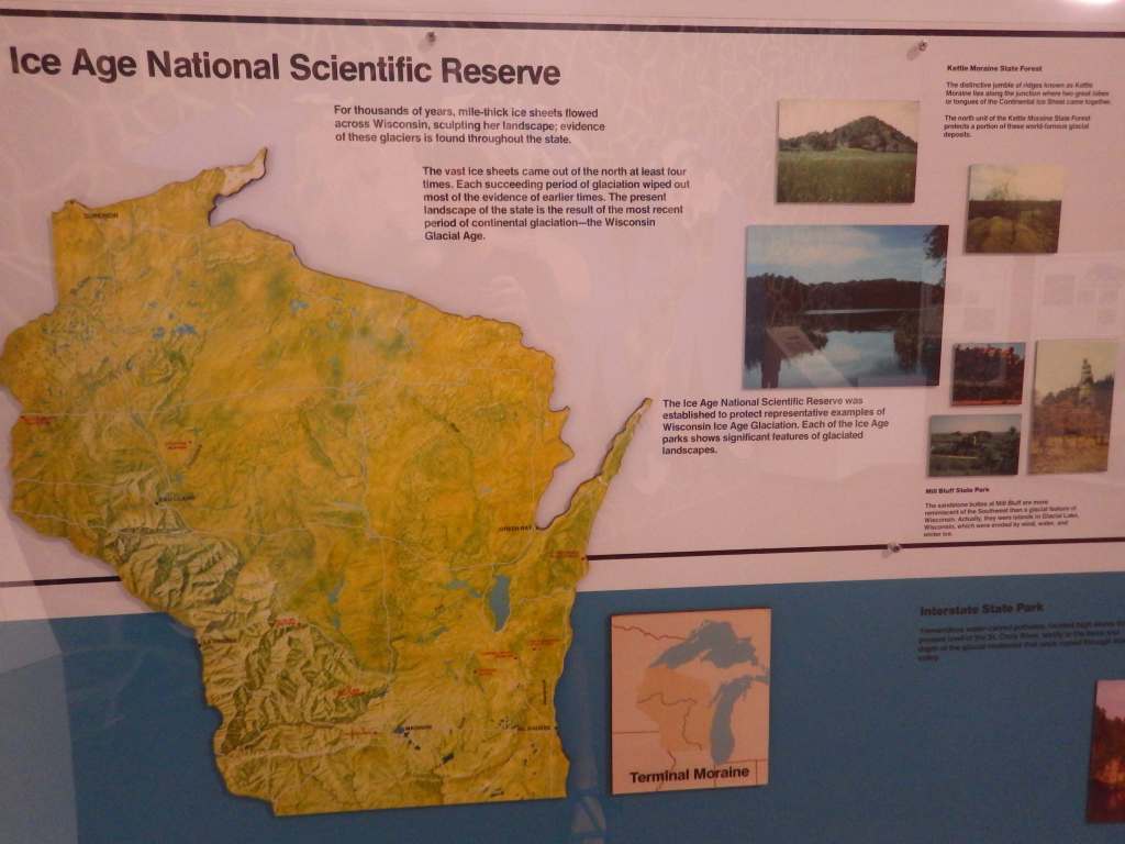
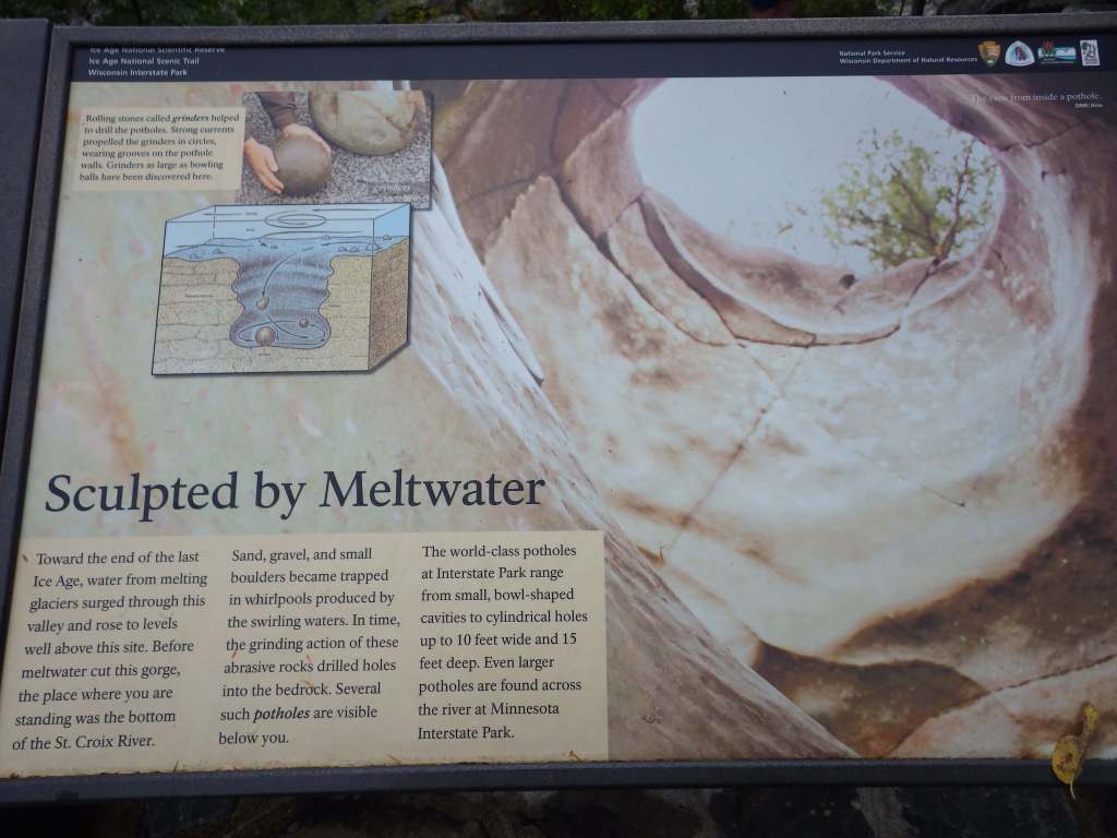
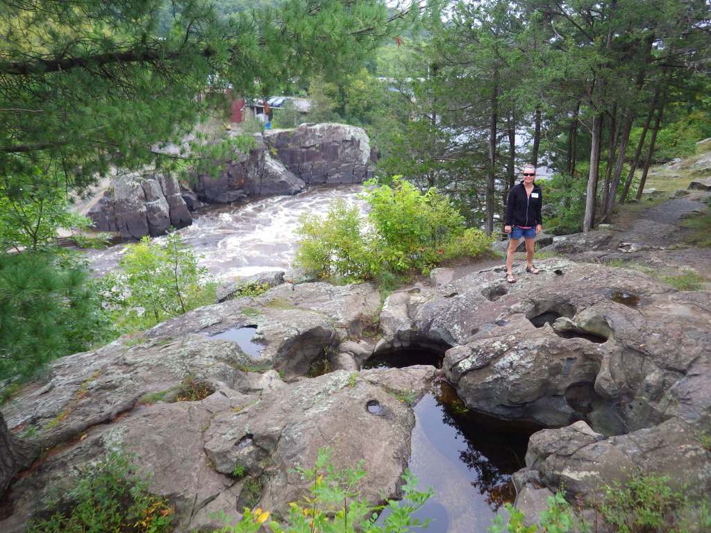
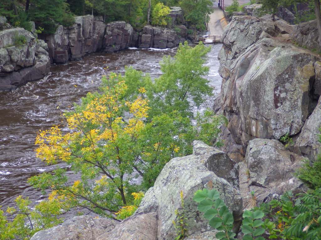
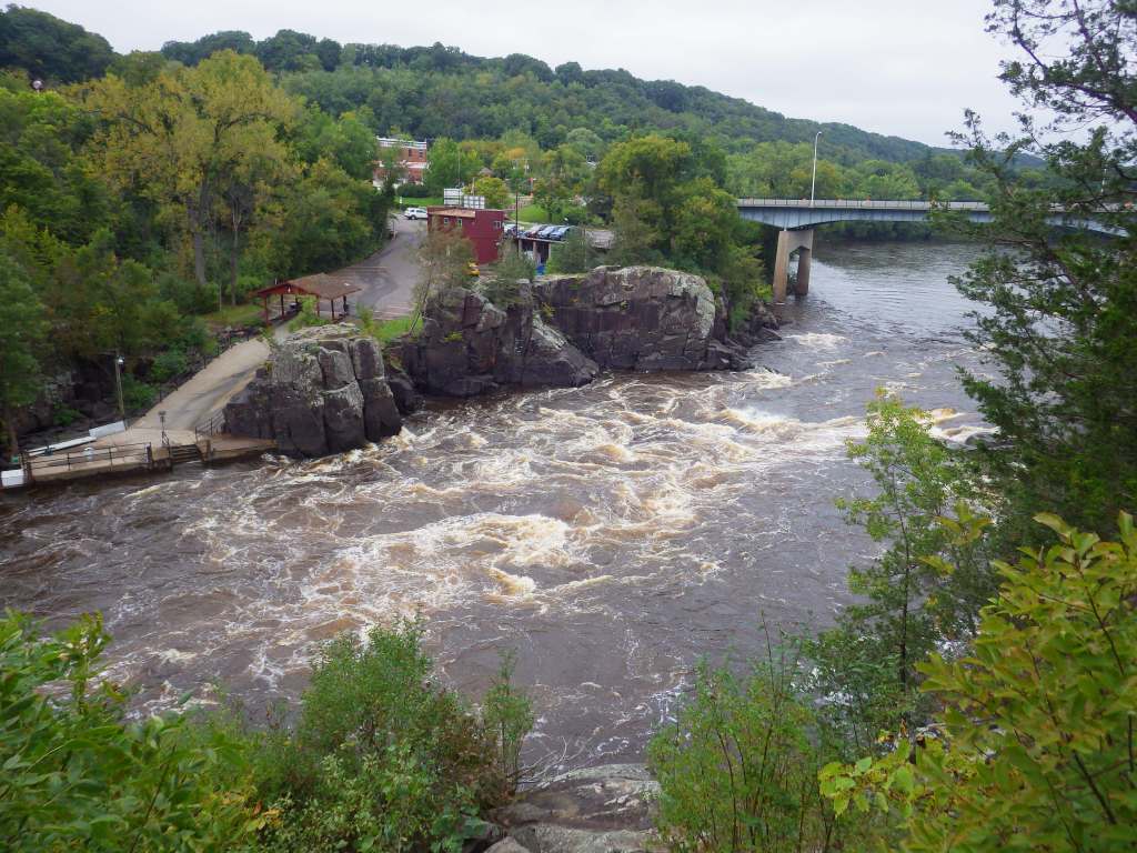
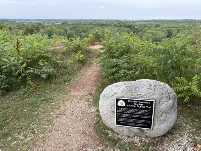
We are currently in an ice age that has lasted 2.58 million years with climate fluctuations leading to melting during warmer interglacial periods, such as the one we are experiencing today. The Wisconsin Glaciation was the most recent in North America, which began roughly 100,000 BP (years Before Present) and reached its greatest extent 20,000 BP, and then repeatedly retreated and readvanced until finally ending 10,000 BP. As the ice melted, gorges were carved at the Dalles of the St. Croix River and the Wisconsin Dells. In 1958, conservationist Ray Zillmer conceived of the idea of an Ice Age National Park in Wisconsin, and after his death, Congressman Henry S. Reuss sponsored a bill establishing the multi-unit Ice Age National Scientific Reserve. In 1980, Ruess passed a bill creating the Ice Age National Scenic Trail, which was first thru-hiked the year prior by 20-year-old James J. Staudacher. In 2023, it officially became a National Park Service unit (along with North Country National Scenic Trail), although it is primarily managed by volunteers through the non-profit Ice Age Trail Alliance (www.iceagetrail.org).
Ice Age National Scenic Trail is covered in my newest travel guidebook American History 101, which will be released in November 2026.
Highlights
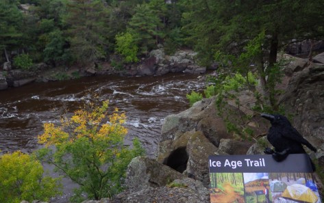
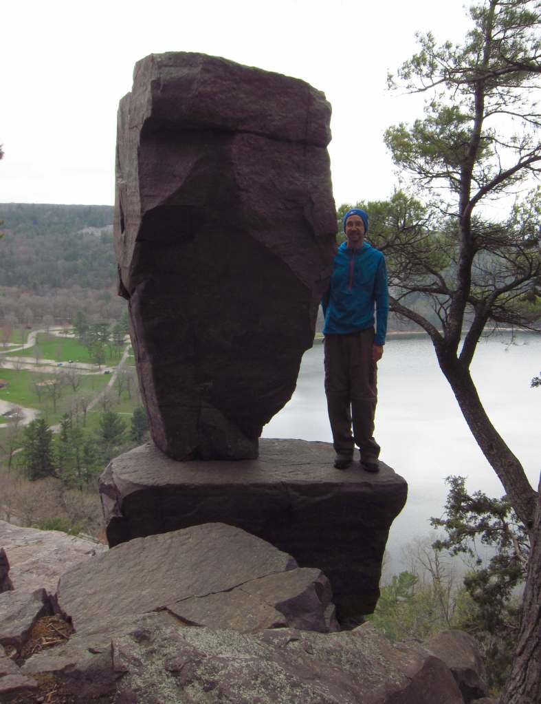
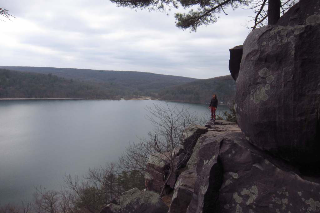
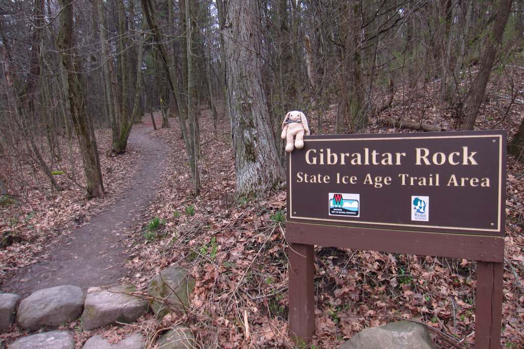
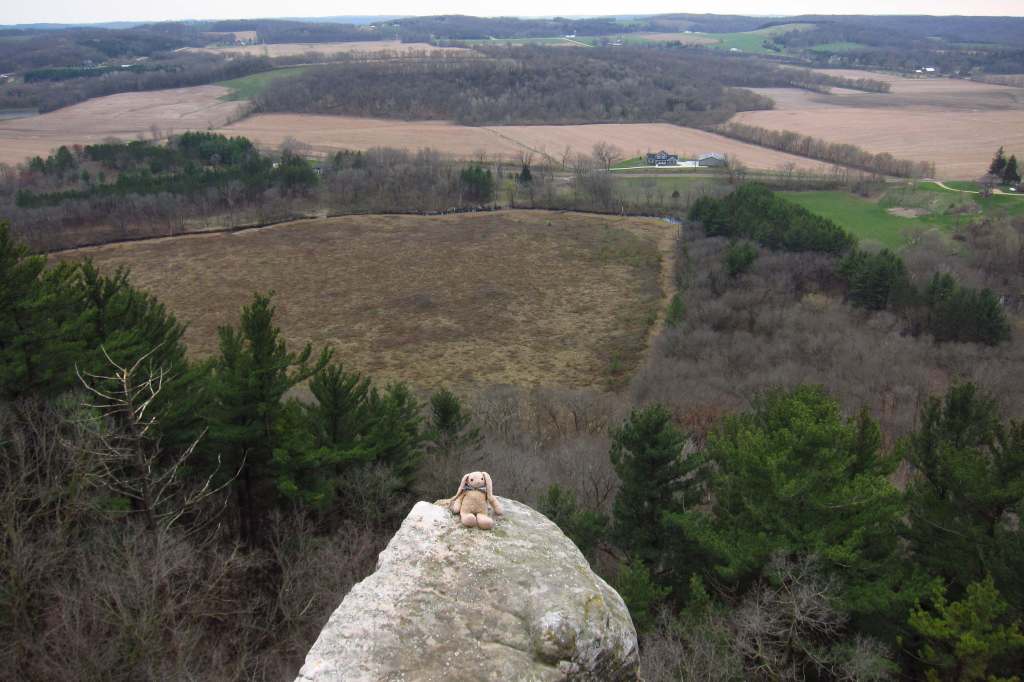
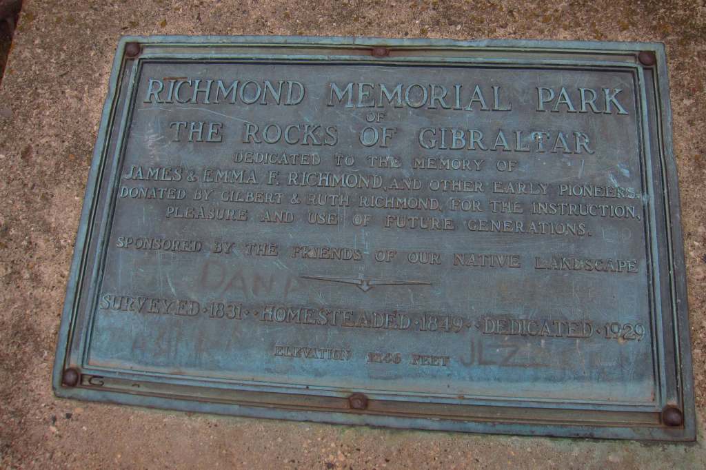
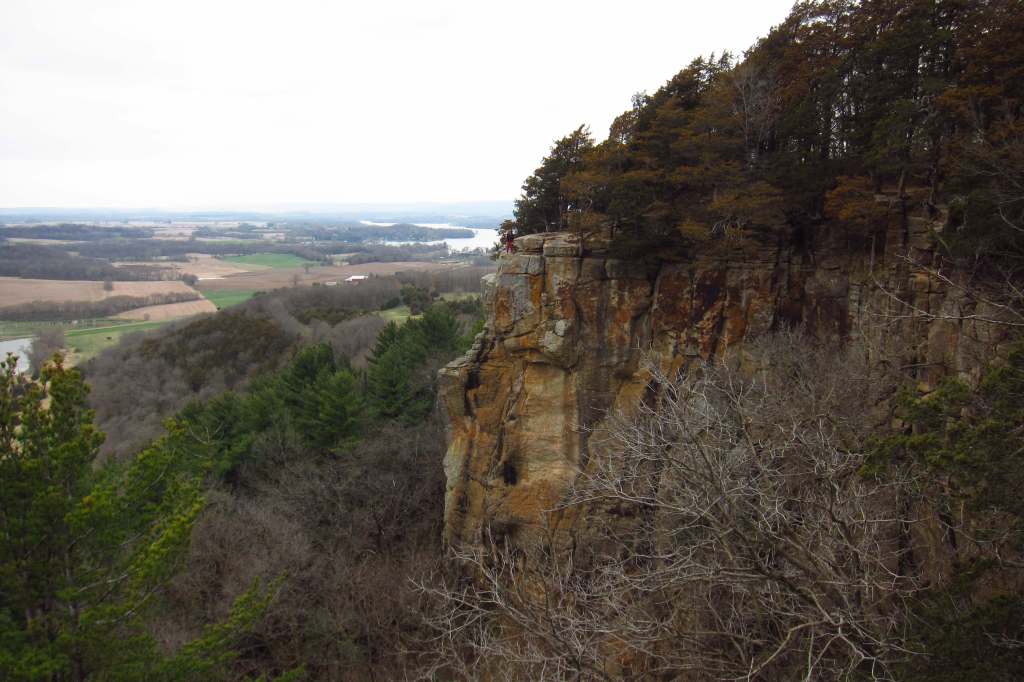
Interstate State Park, Chequamegon National Forest, Devil’s Lake State Park, Gibraltar Rock, Cross Plains State Park, Kettle Moraine, Potawatomi State Park
Must-Do Activity
The National Park Service has an administrative office in the 1,200-acre Glacial Passage Area that includes Cross Plains State Park and meltwater-carved Wilkie Gorge. Here visitors can get their Junior Ranger book (or print one at home) and passport stamps, which are also available at Devil’s Lake State Park, Interstate State Park, Chippewa Moraine State Recreation Area, Northern Kettle Moraine State Forest, and St. Croix National Scenic Riverway. In addition to enjoying forest scenery and wildlife sightings, a great part of hiking the trail is learning geology terminology like kame, drumlin, kettle moraine, pothole, esker, and glacial erratic.
Best Trail
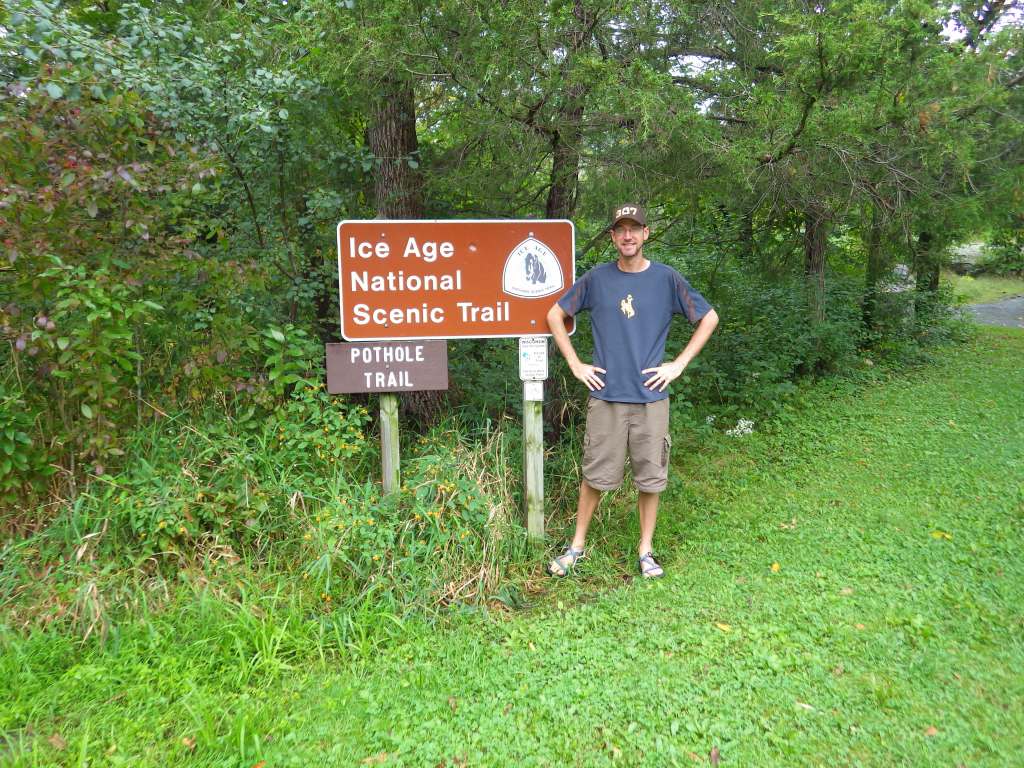
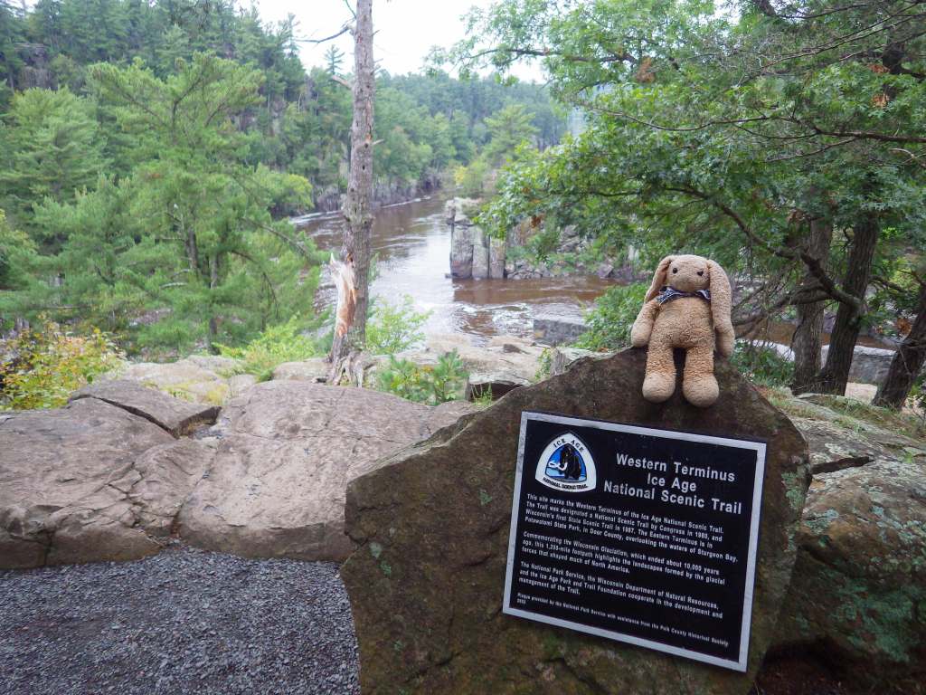
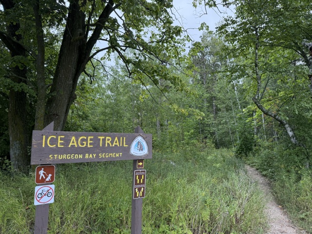
The 1,200-mile trail is composed of over 100 segments from Interstate State Park on the St. Croix River east to Potawatomi State Park on the Door Peninsula. There are 675 miles of trail completed, connected by a series of road walks. The trail splits in two for a stretch north of Devil’s Lake State Park, with the eastern portion more developed currently.
Photographic Opportunity
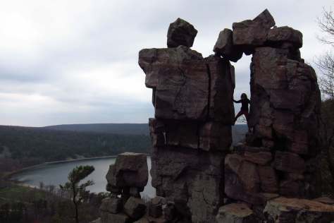
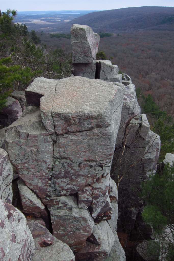
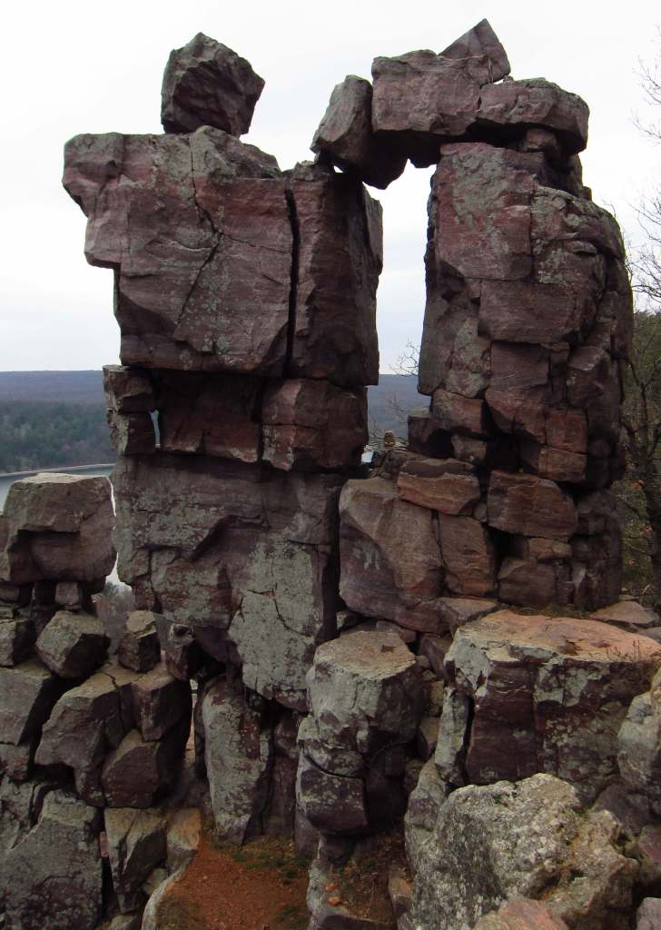
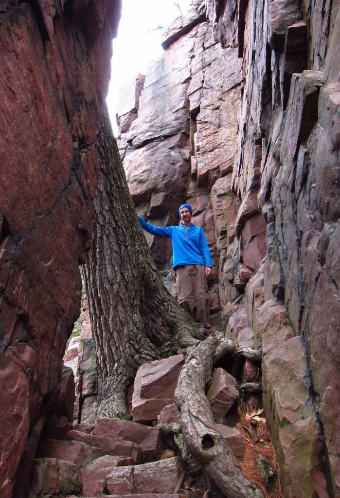
In Devil’s Lake State Park, the famous Devil’s Doorway quartzite formation is accessed by a 2.1-mile loop trail that gains 488 feet of elevation cumulatively. The park also contains a bird effigy mound, like the ones seen in Effigy Mounds National Monument in Iowa.
Peak Season
Summer
Hours
https://www.nps.gov/iatr/planyourvisit/basicinfo.htm
Fees
$16 per vehicle ($13 for Wisconsin plates) at State Parks (and America the Beautiful passes are also accepted)
Road Conditions
Many portions of the trail involve road walking, so watch for pedestrians while driving.
Camping
Some parts of the trail allow camping anywhere, but others have designated sites so it is important for thru-hikers to plan carefully. Interstate and Devil’s Lake State Parks offer developed campgrounds (fee).
Related Sites
St. Croix National Scenic Riverway (Wisconsin-Minnesota)
Apostle Islands National Lakeshore (Wisconsin)
Chequamegon National Forest (Wisconsin)
Nearest National Park
Explore More – Why was a ten-mile connector built off the Ice Age Trail to reach Timms Hill?


Wow, such neat rock features!
LikeLiked by 1 person
I enjoyed visiting parts of the trail in WI and MN – great read
LikeLiked by 1 person
Thanks for leaving a comment. It is a great American long trail.
LikeLike