Tag Archives: National Grassland

Midewin National Tallgrass Prairie

Midewin National Tallgrass Prairie

Illinois

Managed by U.S. Forest Service, Northern Region

20,283 acres

Website: https://www.fs.usda.gov/midewin

Overview

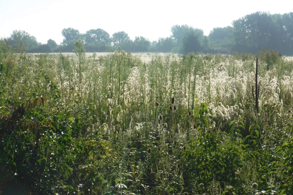
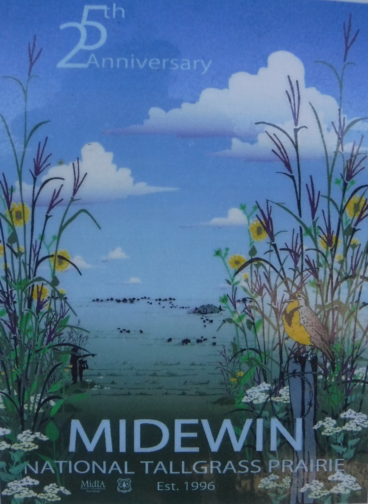
Midewin National Tallgrass Prairie was established in 1996 and opened to visitors eight years later following some ecological restoration and decontamination.  It is located on the site of the Joliet Army Ammunition Plant that produced TNT from 1940 to 1976.  In combination with neighboring Des Plaines Fish and Wildlife Area and other preserves, over 40,000 acres are protected in this area south of Chicago’s suburbs.  Restoration of the tallgrass prairie is ongoing with planting and prescribed burning to promote the growth of native plants.  In 2015, 27 bison were introduced on 1,200 acres and the herd has grown to more than 50.  Midewin (pronounced “mi-DAY-win”) is a Potowatomi word referring to tribal healers.
Highlights

Midewin Welcome Center, Route 66, historic bunkers, bison herd

Must-Do Activity

The best place to start a visit is the Midewin Welcome Center on Highway 53, just south of the Southwest Bison Overlook.  There you can read about the history of the area, pick up pamphlets on birds and wildflowers, and get information on the more than 30 miles of trails, including 21.7 miles open to bikers and equestrians.  The 7,000 acres of accessible public lands are open 4 a.m. to 10 p.m. daily.

Best Trail

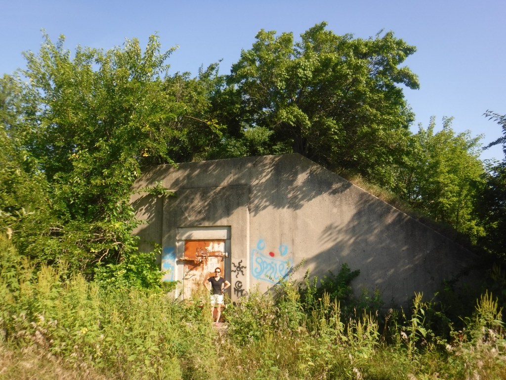
Several trails leave from the Iron Bridge Trailhead north of the visitor center.  We took Group 63 Trail that starts in a forest then opens up as it accesses Bunker 63-1, which is unlocked for exploration.  The entire trail makes a 3.5-mile loop around a group of bunkers following the northern border of the fenced-off bison pasture. 

Watchable Wildlife

Midewin remains the only federal tallgrass prairie preserve east of the Mississippi River, restoring an extremely rare ecosystem that was mostly converted to agriculture.  Golden gophers (or 13-lined ground squirrels) fill the ecological niche of prairie dogs here.  Coyotes and white-tailed deer are also found in this area.  In 2015, bison were introduced on 1,200 acres of the preserve, and the herd has increased from the original four bulls and 23 cows.  A color pamphlet highlighting native birds is available at the visitor center and trailheads.  In addition to songbirds, raptors like red-tailed hawks, northern harriers, and short-eared owls can be seen.  We came across a flock of turkeys near the turtle pond south of Hoff Road. 

Instagram-worthy Photo

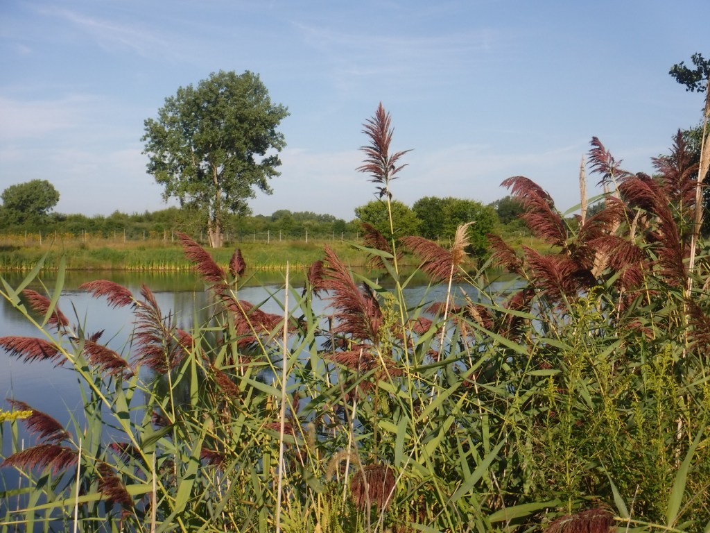
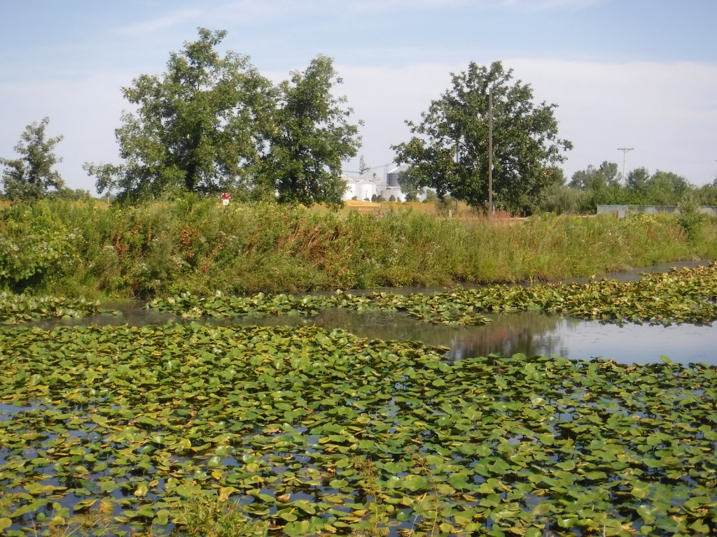
A turtle pond is accessible by walking a closed road one mile from the Hoff Road Trailhead.

Peak Season

Spring

Fees

None

Road Conditions

The main access roads are paved and the trailhead parking areas are gravel lots.  Many of the trails are former roads, both paved and unpaved.  At the Iron Bridge Trailhead, bicycles are available to rent as part of the 75 miles of trails following the Illinois and Michigan Canal National Heritage Corridor.

Camping

There is no camping at Midewin National Tallgrass Prairie, as the public lands are only open 4 a.m. to 10 p.m. daily.  Campgrounds outside of Chicago include Starved Rock State Park, Illini State Park, Des Plaines Conservation Area, and across the state border at Indiana Dunes National Park.

Related Sites

Tallgrass Prairie National Preserve (Kansas)

Pullman National Historical Park (Illinois)

Cedar River National Grassland (North Dakota)

Nearest National Park

Indiana Dunes

Explore More – During World War II, 3,400 women worked at the Joliet Army Ammunition Plant, representing what percentage of the workforce?

Cedar River National Grassland

Cedar River National Grassland

North Dakota

Managed by U.S. Forest Service, Northern Region

6,717 acres (6,717 federal/ 0 other)

Website: https://www.fs.usda.gov/recarea/dpg/recarea/?recid=79471

Overview

Cedar River National Grassland was created in 1998 from part of Custer National Forest, as is true of all four of the units managed as The Dakota Prairie Grasslands by the U.S. Forest Service.  The number above showing 0 acres of private inholdings is a little misleading since Cedar River National Grassland is a patchwork of public lands surrounded by the Standing Rock Reservation of the Lakota Sioux.  It is administered from the office just across the state border in Lemmon, South Dakota along with 154,783-acre Grand River National Grassland.  Although situated close to the Cedar River, the grassland contains no river bottomlands and is primarily composed of rolling hills cut by dry gullies.

Highlights

Knispel Wildlife Area, Cedar River

Must-Do Activity

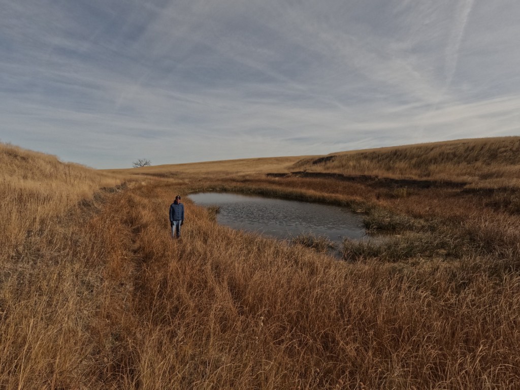
The soils of Cedar River National Grassland are mostly clay, but we found some interesting rocks on the surface near the buttes at Knispel Wildlife Area off Highway 31.  Although it is not in the National Grassland, you should try to drive across one of the bridges over the namesake Cedar River.  Using the Forest Service app, we hiked to a small pond with cattails we could see on the aerial photos near the North Community Allotment.

Best Trail

There are no designated trails in Cedar River National Grassland, so we just walked cross-country.  We do recommend a stop at the World’s Largest Petrified Wood Park in nearby Lemmon, South Dakota.

Watchable Wildlife

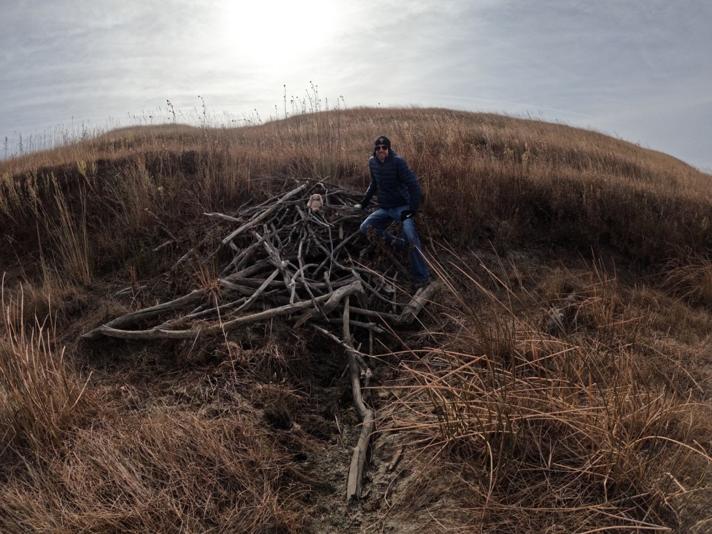
About 25% of the National Grassland was reseeded with crested wheatgrass providing good grazing for white-tailed deer, pronghorn, and cattle.  Sharp-tailed grouse and exotic pheasants are also found in this area and the neighboring farm fields (primarily growing sunflowers).  Potholes and stock ponds provide habitat for blue-winged teals, gadwalls, and mallards, as well as fathead minnows, painted turtles, and northern leopard frogs.  In the summer, listen for the songs of western meadowlarks.  Birds of prey reported are red-tailed hawks, ferruginous hawks, Swainson’s hawks, northern harriers, American kestrels, golden eagles, and bald eagles.  We saw evidence of a hut on a dry stream built by a beaver, and there are also or muskrats, raccoons, coyotes, red foxes, and badgers. 

Instagram-worthy Photo

Cottonwood trees are about the only subject that will break the horizon in a photograph at Cedar River National Grassland.

Peak Season

Summer

Fees

None

Road Conditions

Highway 31 is paved, but most of the roads were unpaved; those with gravel were in good shape in October, although the clay could turn to gumbo during wet spring months.

Camping

There is not a designated campground and dispersed camping might be tough due to the lack of pullouts and the predominance of private land.  It is probably better to head south to Grand River National Grassland, which has campgrounds.

Related Sites

Cimarron National Grassland (Kansas)

Knife River Indian Villages National Historic Site (North Dakota)

Fort Union Trading Post National Historic Site (North Dakota-Montana)

Nearest National Park

Theodore Roosevelt

Explore More – After the federal government acquired about 48,000 acres of the Standing Rock Reservation from homesteads in the 1930s, how many acres did they later return to the Lakota Sioux (although the tribe would like it all returned)?

Black Kettle National Grassland

Black Kettle National Grassland

Oklahoma, Texas

Managed by U.S. Forest Service, Southern Region

33,113 acres (31,286 federal/ 1,827 other)

Website: https://www.fs.usda.gov/detail/cibola/home/?cid=stelprdb5397425

Overview

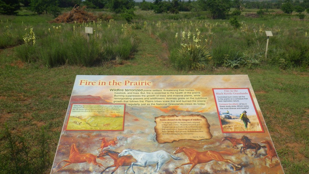
Like Cimarron National Grassland in Kansas, Black Kettle National Grassland was purchased by the federal government during the 1930s Dust Bowl.  This is one of the only National Grasslands with a visitor center, shared with the National Park Service (NPS) who manages Washita Battlefield National Historic Site at the site of an 1868 massacre that took the life of Chief Black Kettle of the Southern Cheyenne.  Even though the downstairs U.S. Forest Service office was closed on our Saturday visit, the NPS ranger at the desk provided a map and information on the National Grassland.  We also walked the paved interpretive trail at the visitor center that explained homesteading, prescribed burning, and preserving the rare shinnery oak species. 

Highlights

Black Kettle Recreation Area, Lake Marvin, Spring Creek Lake, Croton Creek Watchable Wildlife Area, Skipout Lake, Cheyenne Nature Walk

Must-Do Activity

Recreation here surrounds four reservoirs, including a tiny parcel around 63-acre Lake Marvin in Texas.  In Oklahoma, there are 60-acre Skipout Lake, 50-acre Spring Creek Lake, and 80-acre Dead Warrior Lake.  Fishing, picnicking, and free primitive camping are allowed at all four reservoirs, with a 1.75-mile trail circling Skipout Lake and wooded trails south of Dead Warrior Lake in Black Kettle Recreation Area. 

Best Trail

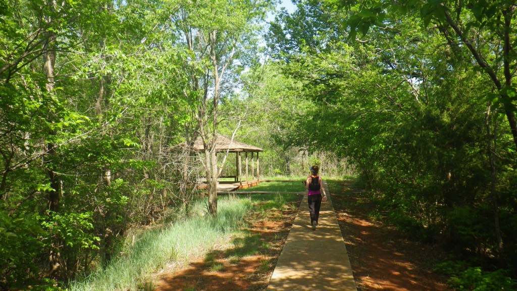
Unlike some other National Grasslands, there are multiple marked and maintained trails here, including two loops totaling 1.6 miles at Croton Creek Watchable Wildlife Area (south of Highway 47) lined by small signs describing native grasses, trees, and birds.  A slightly hidden trail is shown on the Forest Service app in the town of Cheyenne where a sidewalk heads into the woods leaving from the parking lot at the high school baseball field.  The Cheyenne Nature Walk is paved and has a gazebo and boardwalk crossing a wetland area that was dry during our May visit.

Watchable Wildlife

Three unique bird species we spotted during our May visit were Mississippi kites, northern bobwhite quail, and scissor-tailed flycatchers.  In addition, we saw cardinals and woodpeckers, and heard whippoorwills, barn owls, and barred owls overnight.  Wild turkeys, cedar waxwings, and lesser prairie chickens are also among the 277 bird species identified.  Tracks of white-tailed deer and raccoons were abundant on the Croton Creek Trail, plus there are bobcats, mountain lions, and beavers in the area.  Fishermen can catch black bass, saugeye, catfish, and other types of pan fish. 

Instagram-worthy Photo

This area is more heavily wooded than some other prairie National Grasslands, which can be experienced on the Croton Creek Trail and Cheyenne Nature Walk (watch for poison-ivy).

Peak Season

Spring and fall

Fees

None

Road Conditions

Highways 283, 33, and 47 are paved roads that run through the National Grassland, and despite abundant spring rainstorms, we did not have any difficulty with the unpaved roads.

Camping

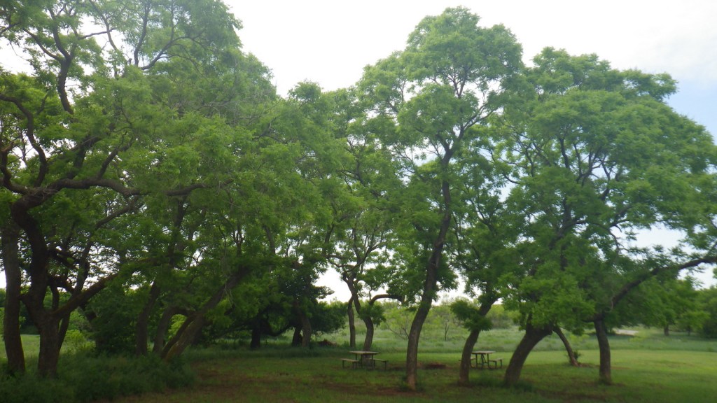
All four lakes offer free primitive campsites with some picnic tables, as does Croton Creek Watchable Wildlife Area where we stayed only six miles west of Cheyenne.  RV campsites with hookups at Lake Marvin cost $20 a night.

Related Sites

Washita Battlefield National Historic Site (Oklahoma)

Alibates Flint Quarries National Monument (Texas)

Cimarron National Grassland (Kansas)

Nearest National Park

Great Sand Dunes

Explore More – The South Canadian River flows north of Black Kettle National Grassland, but what is the river that runs through the middle of it?

Cimarron National Grassland

Cimarron National Grassland

Kansas

Managed by U.S. Forest Service, Rocky Mountain Region

116,319 acres (108,176 federal/ 8,143 other)

Website: https://www.fs.usda.gov/psicc

Overview

Following the devastating “Dust Bowl,” several Congressional Acts in the 1930s allowed the federal government to purchase and restore damaged agricultural lands in the Great Plains.  Most of the 20 National Grasslands have their origin in these times, which is why they are often a patchwork of federal and private ownership.  Cimarron National Grassland is no exception, although its fairly contiguous swath of government land in the southwest corner of Kansas represents the largest parcel of public land in the entire state.  Today recreation is one of the multiple uses of this landscape, that also includes cattle grazing and oil/gas drilling.  There are 200 stock ponds here (a few stocked with gamefish), plus the Cimarron River, which even when appearing dry often flows a foot below the surface.  Cimarron is a Spanish word for a feral horse, like an American mustang.

Highlights

Point of Rocks, Cimarron Overlook, Middle Spring, Cottonwood Picnic Area, Cimarron Recreation Area, Turkey Trail, Companion Trail, Santa Fe National Historic Trail

Must-Do Activity

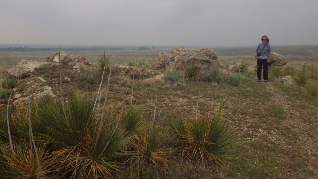
Point of Rocks is the third-highest point in Kansas and was a major landmark on the Cimarron Route of the Santa Fe National Historic Trail that later became a permanent settlement.  There are no buildings left here, but the parking lot offers interpretive signs and a great view across the Cimarron River.  A steep trail from the top accesses the Companion Trail that parallels the Santa Fe National Historic Trail for 19 miles through the National Grassland.  A mile back towards Highway 27, Middle Spring is on the National Register of Historic Places as one of only three reliable water sources along the Cimarron Route. 

Best Trail

The Turkey Trail is open to OHVs and connects 10.5 miles from Cottonwood Picnic Area to Cimarron Recreation Area, where the Cimarron River Trail continues east for another ten miles or so.

Watchable Wildlife

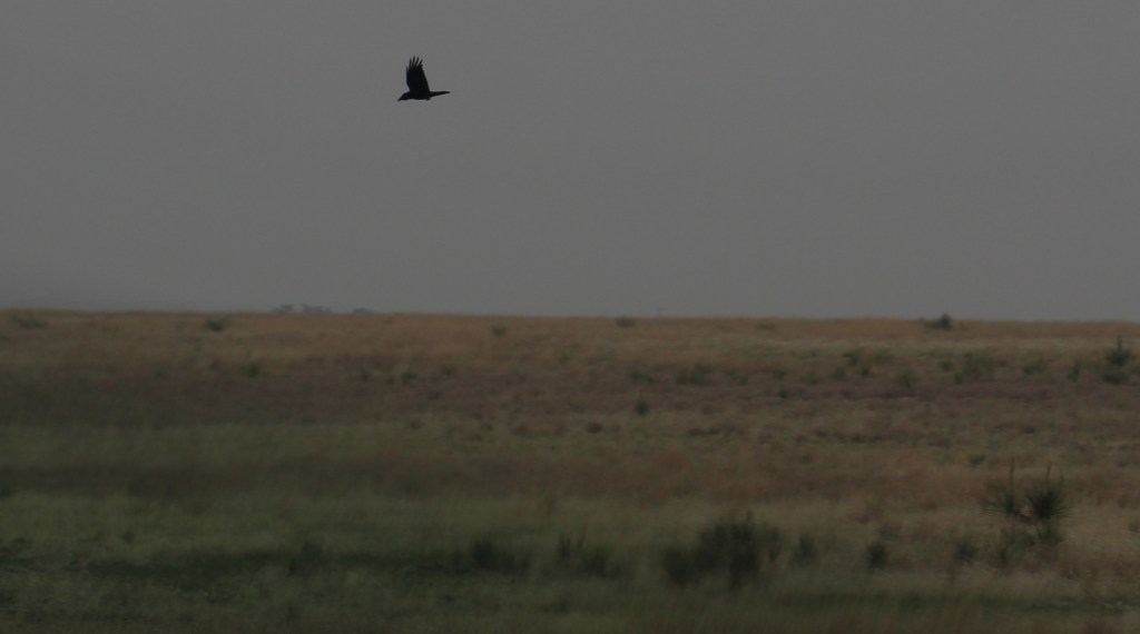
Cimarron National Grassland is one of the best places in Kansas for birdwatching with more than 360 species identified.  There are two lesser prairie-chicken leks with permanent blinds set up for watching spring mating rituals.  During our short visit we spotted ravens, turkey vultures, shrikes, redwing blackbirds, mourning doves, meadowlarks, red-headed woodpeckers, barn swallows, kingbirds, Bullock’s orioles, canvasbacks, and some variety of hawk.  Based on the signs there are also mountain plovers and burrowing owls, which inhabit the burrows of prairie dogs and can imitate the sound of a prairie rattlesnake.  When we arrived at the smoke-obscured overlook for Point of Rocks we startled a group of four mule deer, and we also read that elk were reintroduced here at one point.

Instagram-worthy Photo

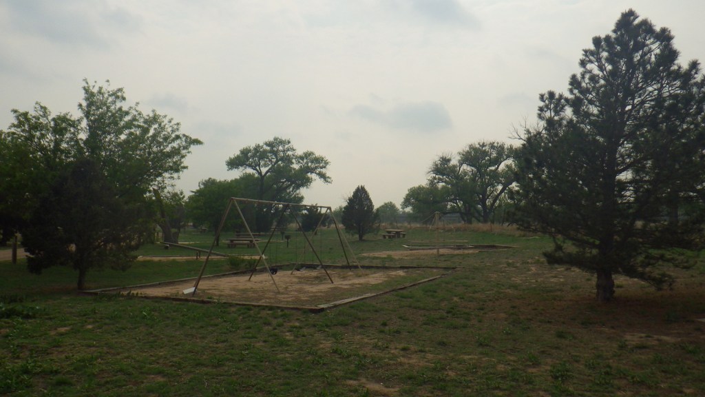
Cottonwood Picnic Area is fenced off from river access, but it has picnic tables and a playground with old-school equipment like teeter-totters.  There is also a fun table with metal seats from old tractors and two old tractors unearthed in 2003 after being buried to stabilize the river bank following floods in the 1930s.

Peak Season

Spring

Fees

None

Road Conditions

Paved Highway 27 cuts north-south through the National Grassland bisecting the unpaved Sea of Grass Auto Tour, which we found to be in good shape at least for the three miles to Point of Rocks.

Camping

Cimarron Recreation Area offers 14 campsites, fishing ponds, and a corral for horses, plus dispersed camping is allowed in most of the National Grassland.

Related Sites

Tallgrass Prairie National Preserve (Kansas)

Fort Larned National Historic Site (Kansas)

Nicodemus National Historic Site (Kansas)

Nearest National Park

Great Sand Dunes

Explore More – Passed in 1937, what Congressional Act requires 25% of revenue generated by the National Grasslands to be returned to the county for schools and roads?