Comanche National Grassland
Colorado
Managed by U.S. Forest Service, Rocky Mountain Region
Established 1960
467,373 acres (443,081 federal/ 24,292 other)
Website: https://www.fs.usda.gov/psicc
Overview
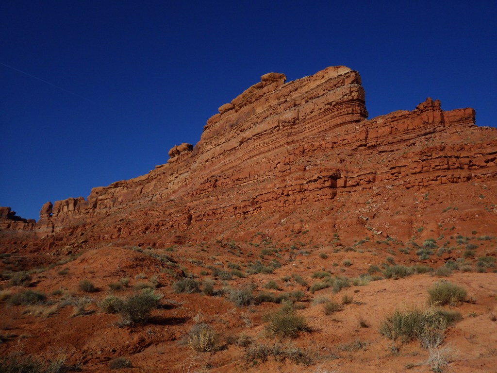
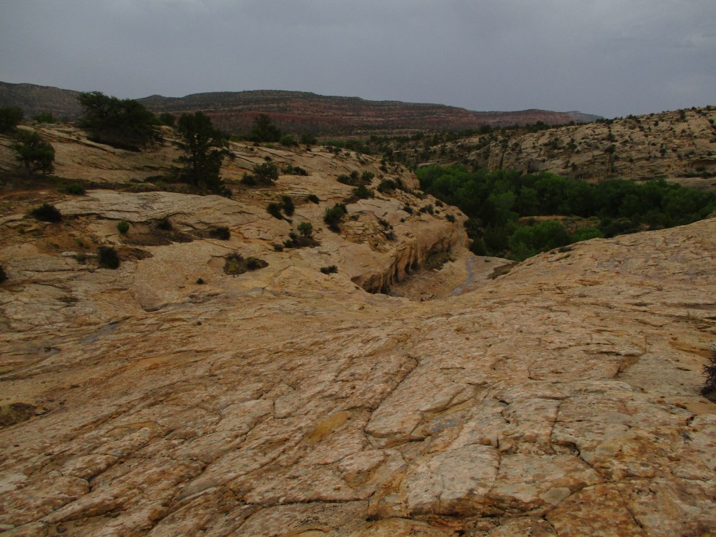
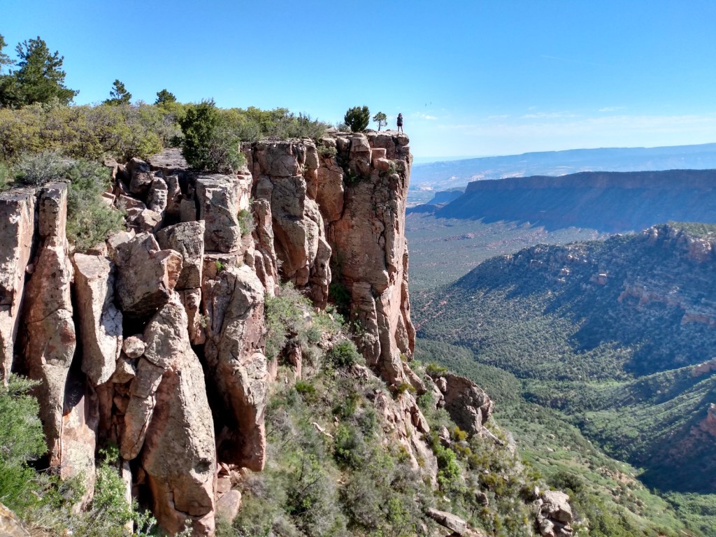
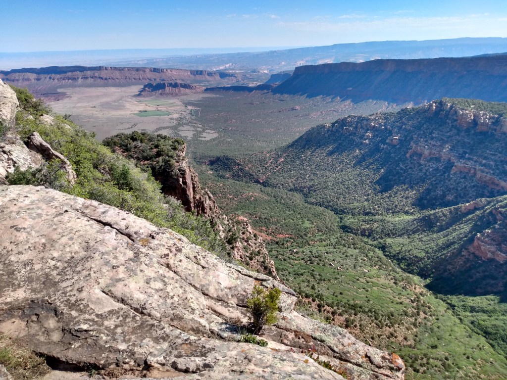
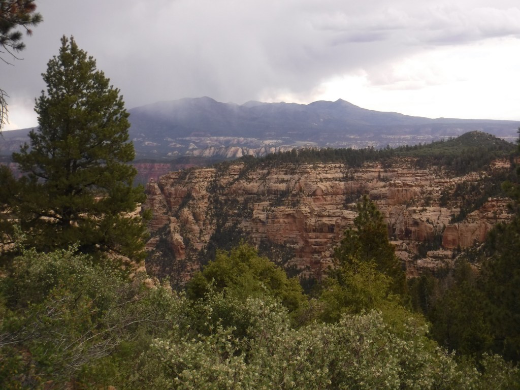
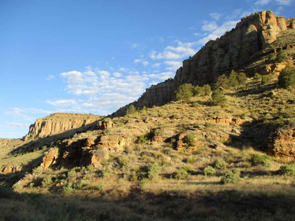
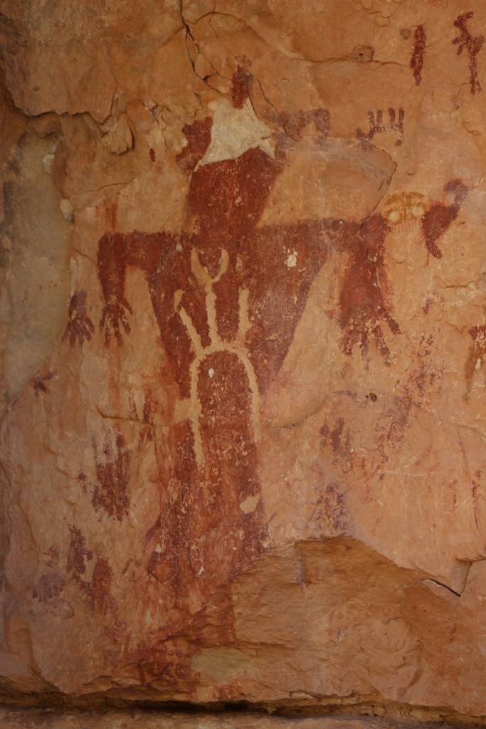
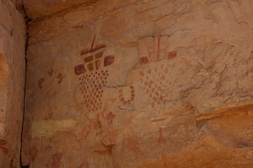
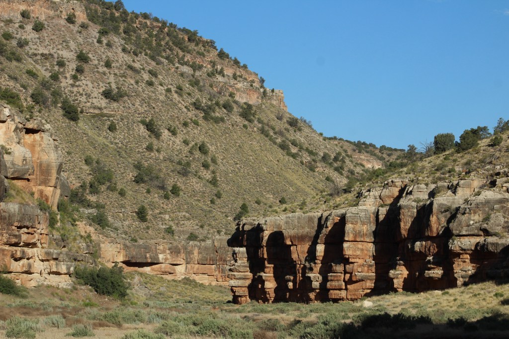
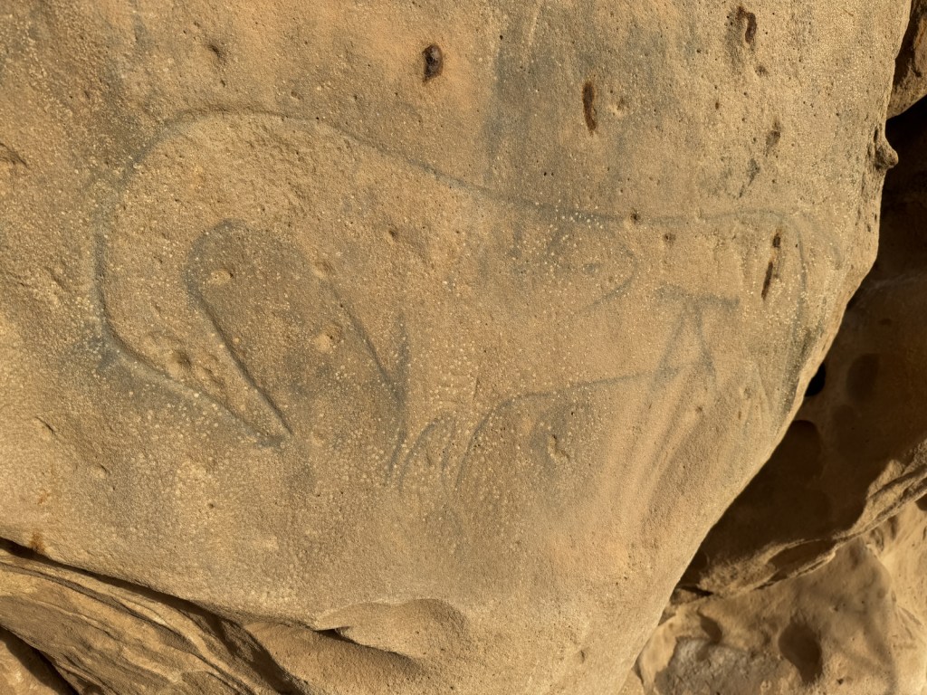
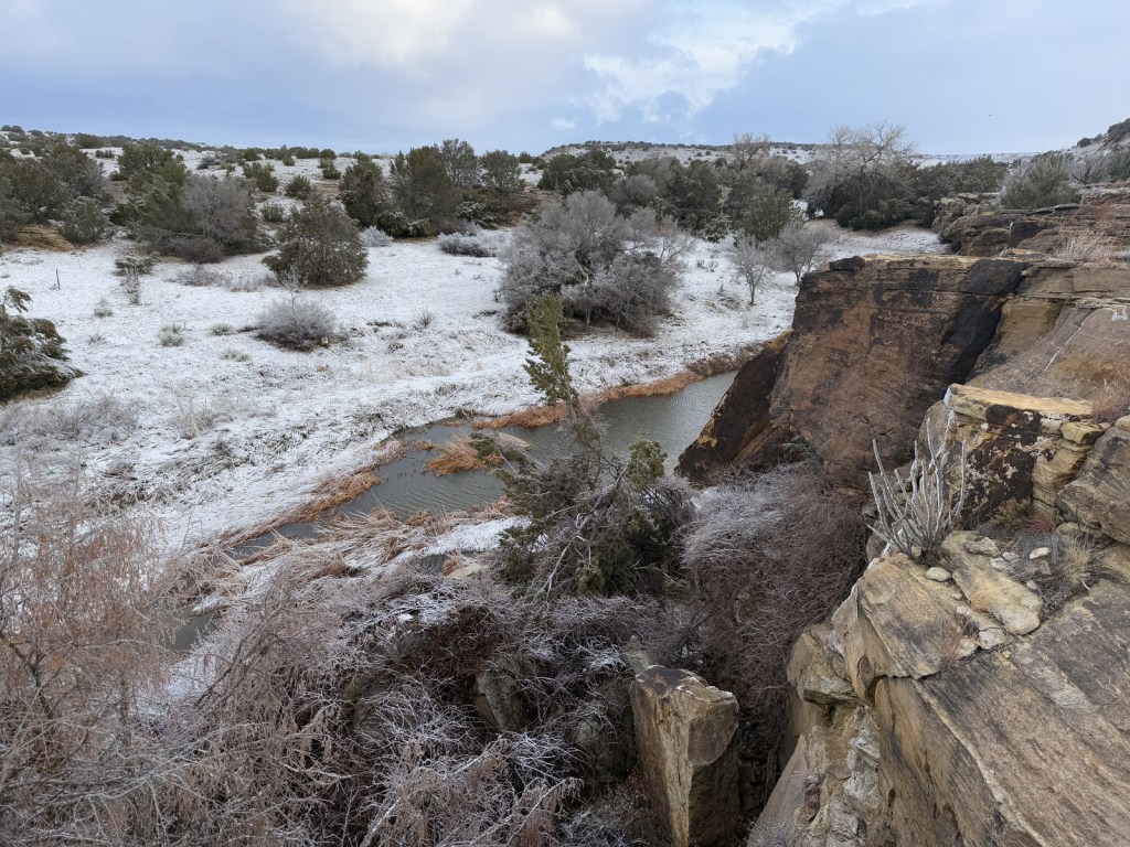
Near the Oklahoma border in southeast Colorado, Comanche National Grassland is comprised of two areas of shortgrass prairie co-managed with Pike and San Isabel National Forests and Cimarron National Grassland (in nearby Kansas). The Timpas Unit is in the watershed of the Purgatoire (or Picket Wire) River, while the more southern Carrizo Unit is mostly centered around Carrizo Creek, a tributary of the Cimarron River. There is a long history of human use of the canyons here, with petroglyphs dating back as far back as 8,000 years. Before giving the National Grassland its name, the Comanche pushed the Apache out of this area in the 1700s and their circular tipi rings can still be found. A branch of the Santa Fe National Historic Trail runs through the northern Timpas Unit with interpretive sites at Sierra Vista Overlook and Timpas Picnic Area (including a three-mile trail following the wagon tracks between the two).

Highlights
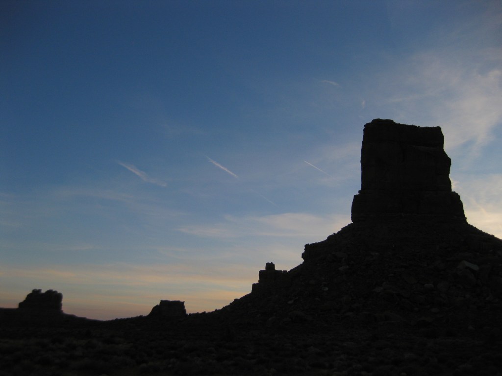
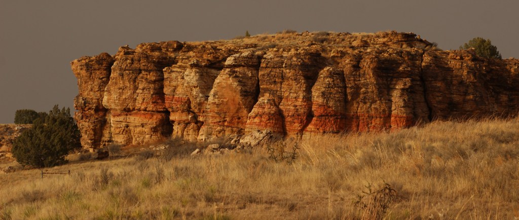
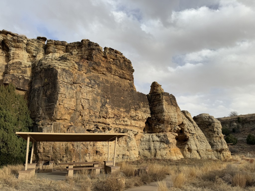
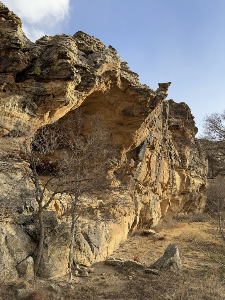
Picture Canyon, Crack Cave, Picket Wire Canyon, Dolores Mission, Rourke Ranch, Carrizo Canyon, Vogel Canyon, Santa Fe National Historic Trail
Must-Do Activity
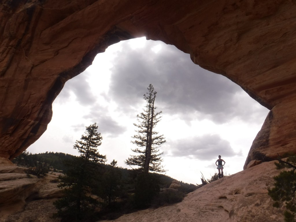
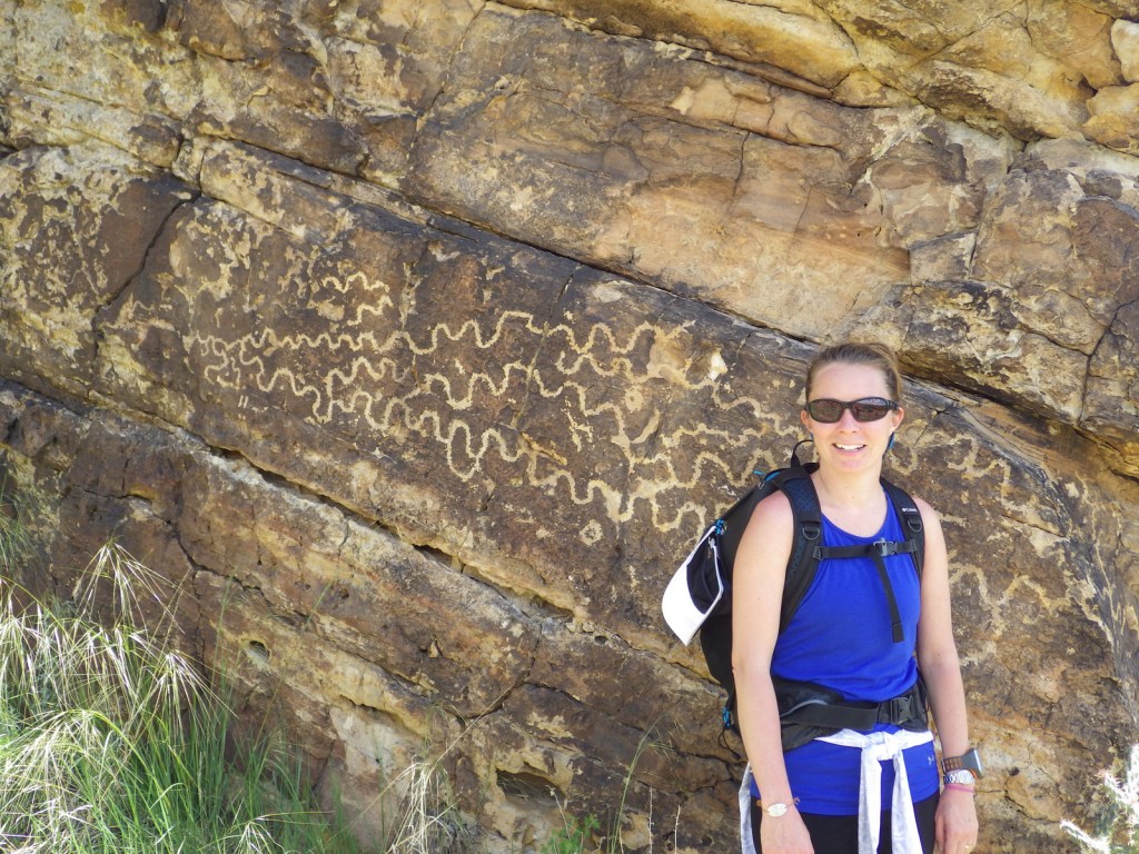
Petroglyphs can be seen on trails near Vogel Canyon and Carrizo Canyon Picnic Areas, with the most famous found in Picture Canyon. It is about 16 miles of unpaved roads to access Picture Canyon from Highway 287, and there are vault toilets and picnic tables at the site. From there, the U.S. Forest Service traditionally leads a hike on Arch Rock Trail to Crack Cave on both the spring and fall equinox, when at dawn the sun’s rays illuminate a specific petroglyph that is usually behind a locked gate that blocks a narrow opening in the sandstone. A similar petroglyph with deeply-carved lines can be seen in an opening above a blue-tinted pictograph about a quarter-mile down the trail. Rock climbing is also a draw here, with a few permanent anchors in the sandstone behind the picnic tables.
Best Trail
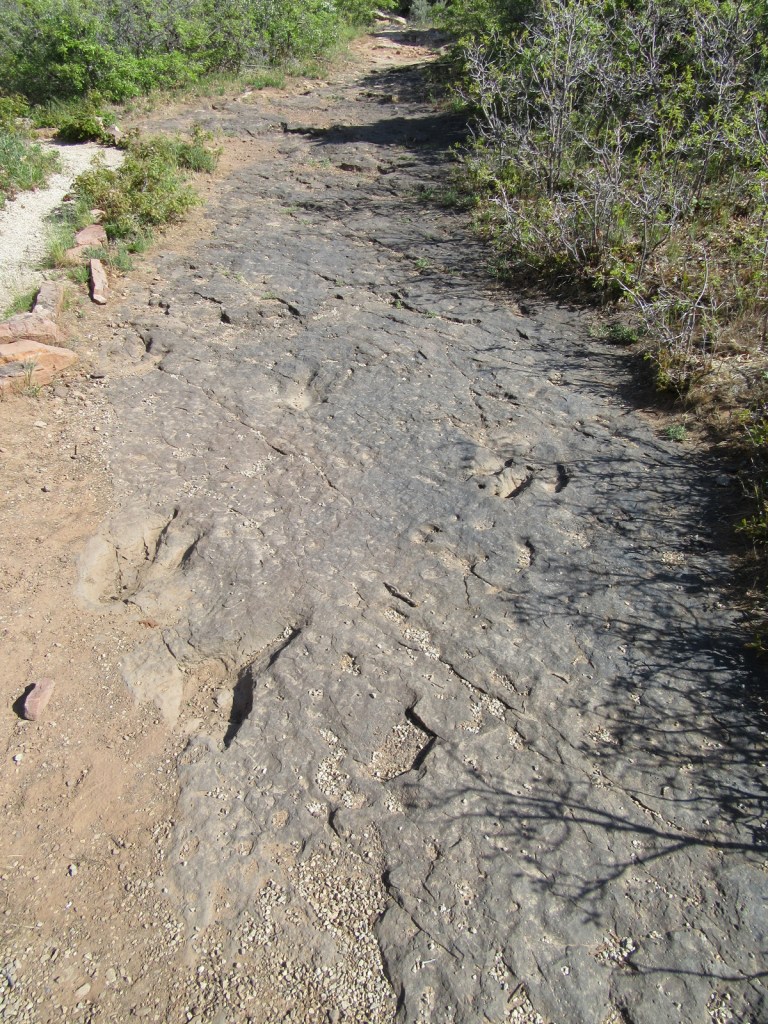
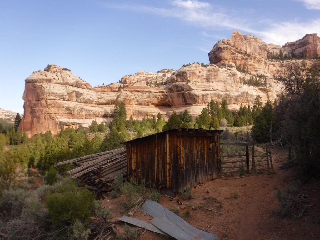
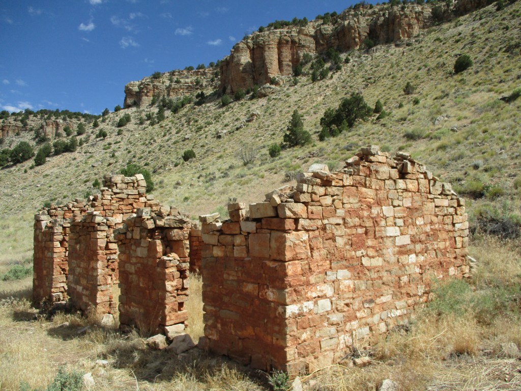
It is a 17-mile drive down unpaved roads to Picket Wire Canyon, where a long trail leads to dinosaur tracks (19 miles out-and-back) and Rourke Ranch National Historic District (25 miles) that dates back to 1871. There are approximately 1,900 tracks left by Apatosaurs and Allosaurs over 150-million years ago. Along the way, look for petroglyphs, a model of a dinosaur fossil, and the ruins of Dolores Mission (see Photographic Opportunity).
Watchable Wildlife
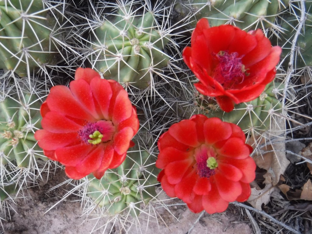
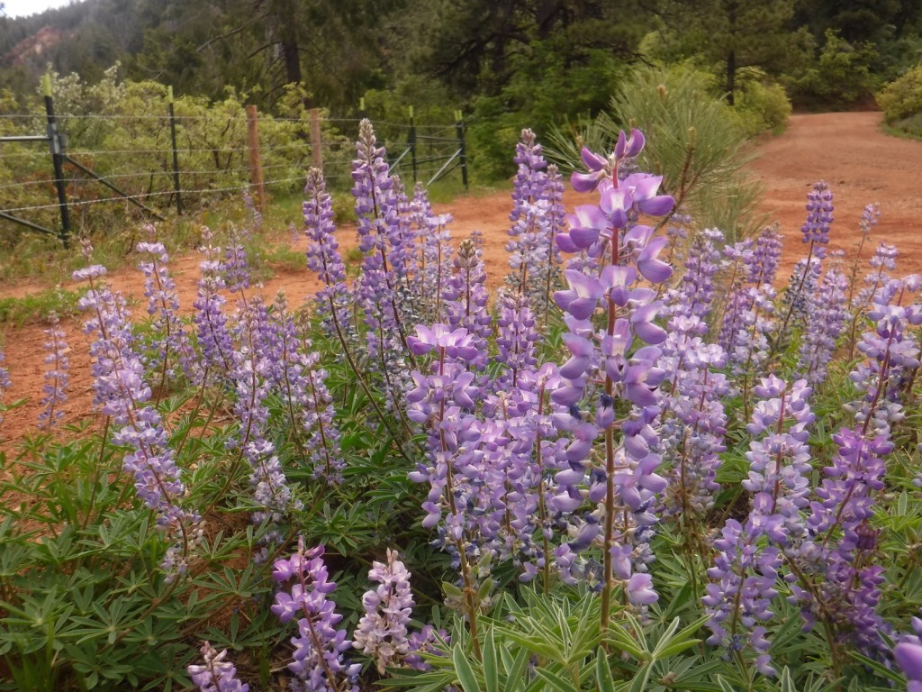
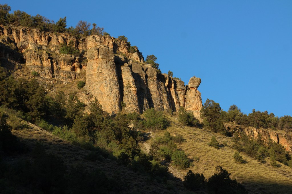
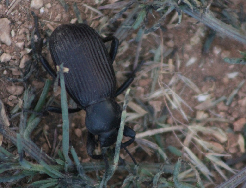
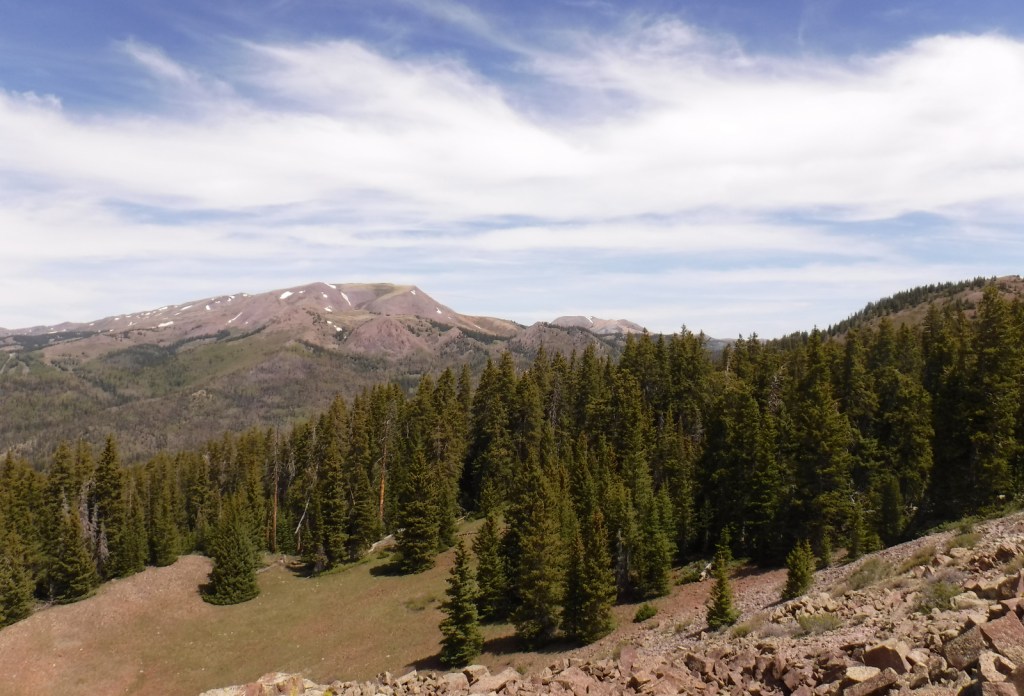
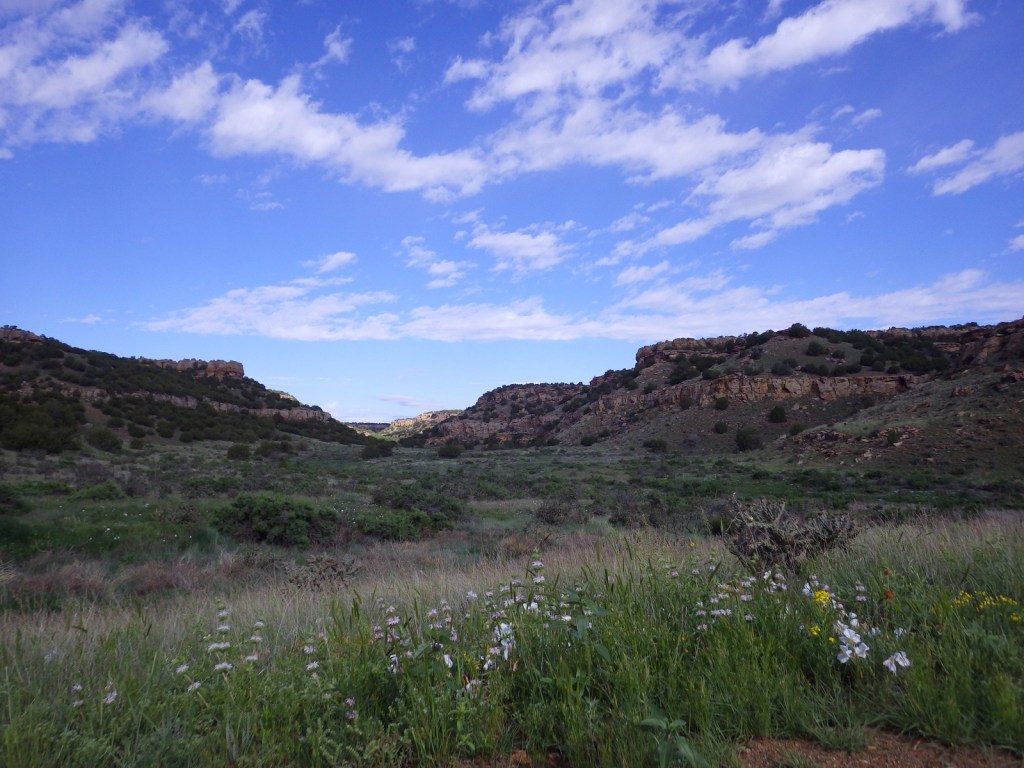
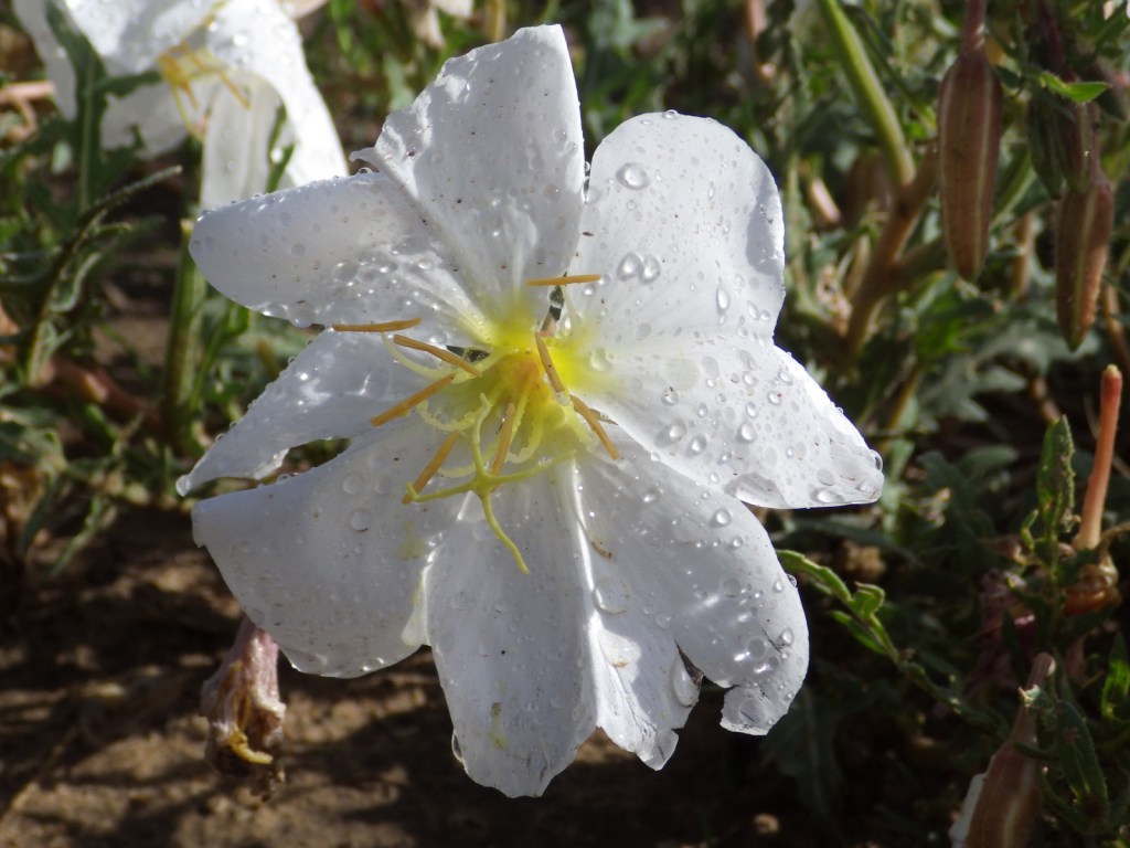
Elevations range from 3,900 to 6,200 feet atop Fallas Mesa with ponderosa pine, pinyon pine, juniper, Gambel oak, and cottonwoods trees found in moister areas. Yucca and cacti are common in the prairie, as are desert-dwelling creatures like roadrunners and tarantulas (we saw one crossing the road). Hunters come here for mule deer, elk, pronghorn, and wild turkey in season. The National Grassland contains a lek for lesser prairie chickens, but it is typically closed during mating season due to their endangered status. About 328 bird species have been identified here, including many eastern birds at the extent of their range.
Photographic Opportunity
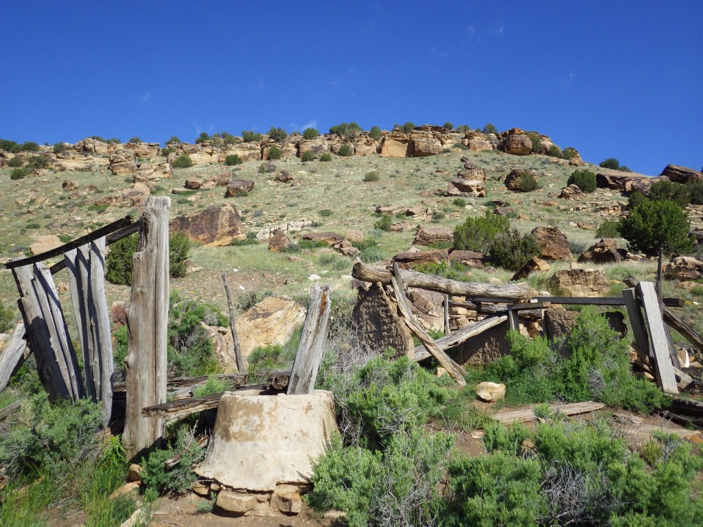
On the way to the dinosaur track site in Picket Wire Canyon, hikers pass Dolores Mission with a cemetery and the ruins of a small Catholic church dating back to 1898.

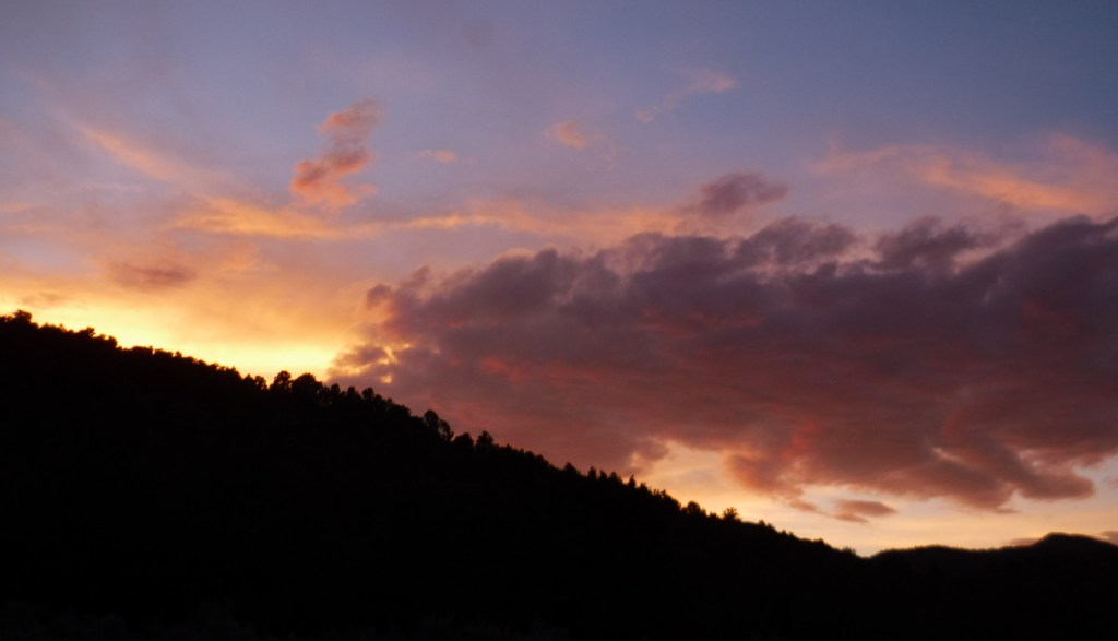
Peak Season
Spring and fall
Fees
None
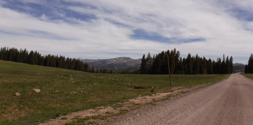
Road Conditions
We have almost gotten stuck twice on the long dirt roads in Comanche National Grassland, once in deep mud following a spring thunderstorm and another time on thick ice following a spring blizzard.
Camping
It is free to disperse camp almost anywhere not on private lands in Comanche National Grassland, with the exception of the parking lots at the following canyons: Picture, Carrizo, Vogel, and Picket Wire.
Related Sites
Cimarron National Grassland (Kansas)
Bent’s Old Fort National Historic Site (Colorado)
Sand Creek Massacre National Historic Site (Colorado)
Nearest National Park


Explore More – The markings in Crack Cave are theorized by some people to spell out what word in Ogam (an ancient Celtic alphabet)?