Spruce Knob-Seneca Rocks National Recreation Area
West Virginia
Managed by U.S. Forest Service, Northern Region
99,794 acres (57,232 federal/ 42,562 other)
Website: https://www.fs.usda.gov/r09/monongahela/recreation/spruce-knob-seneca-rocks-national-recreation-area
Overview
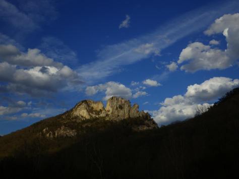
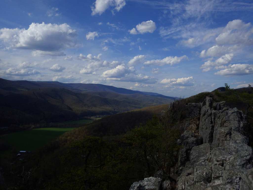
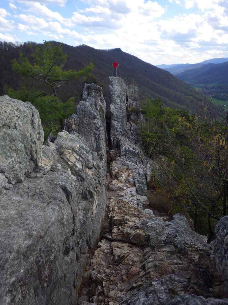
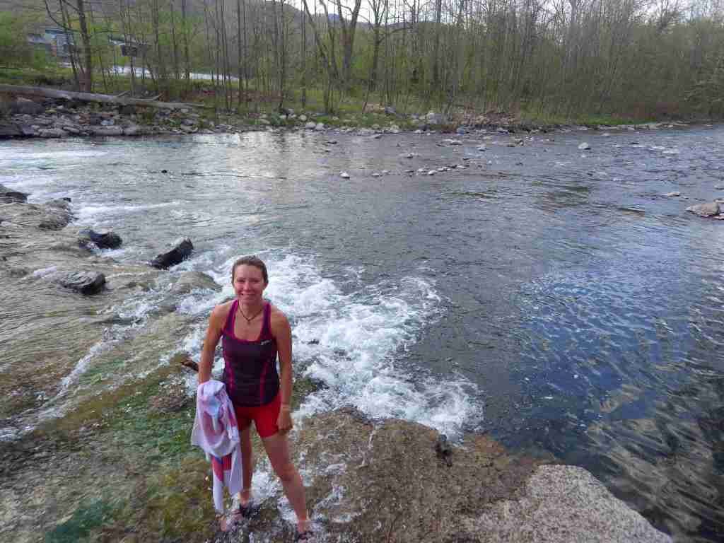
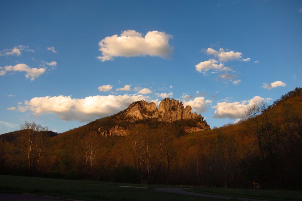
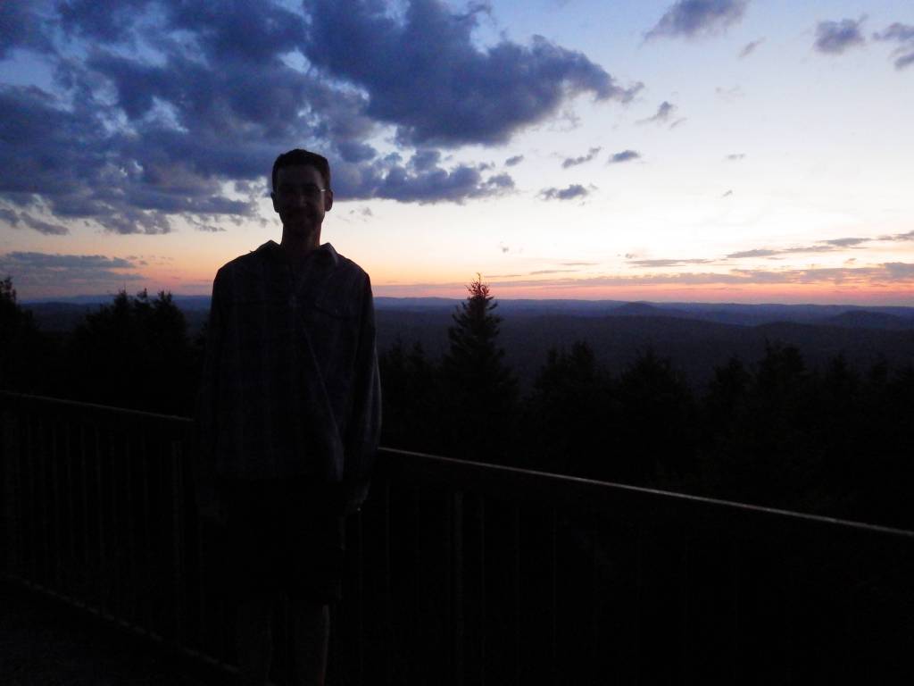
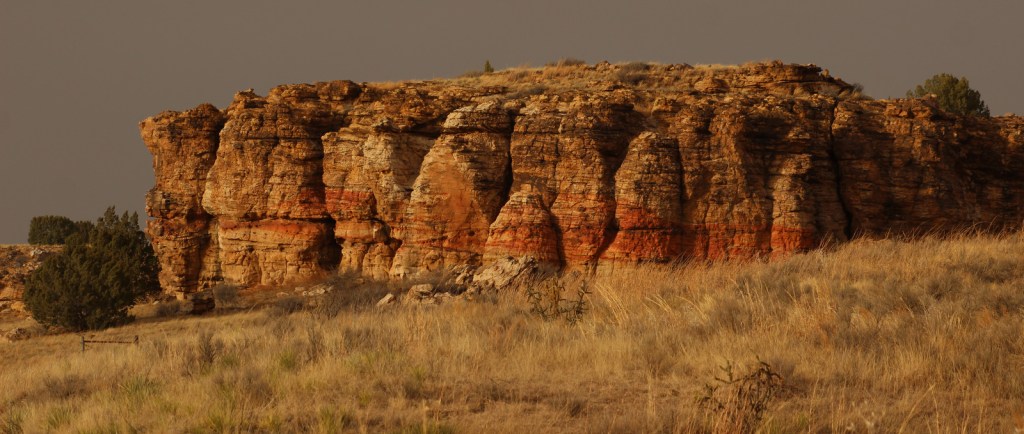
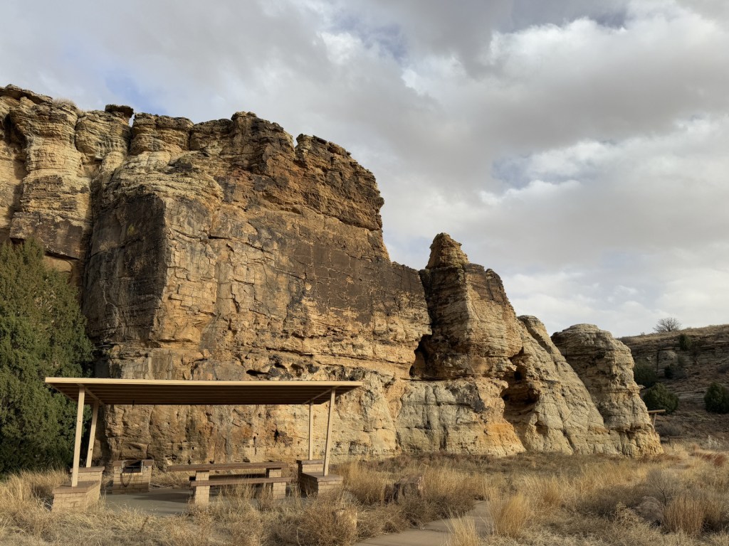
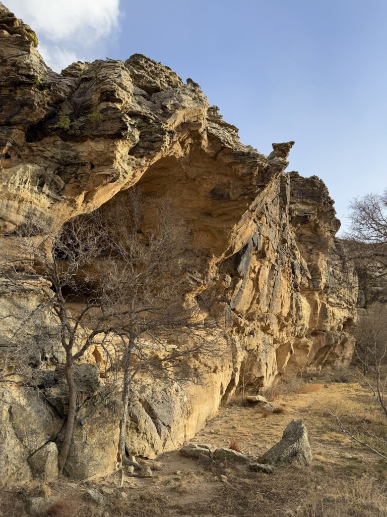
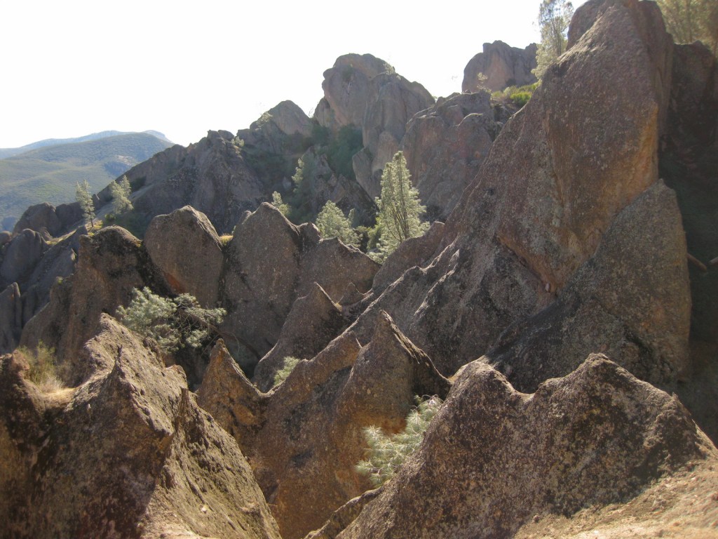
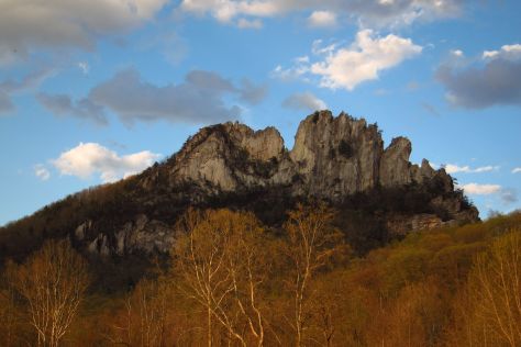
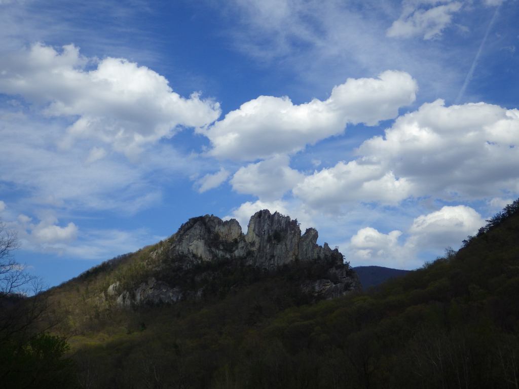
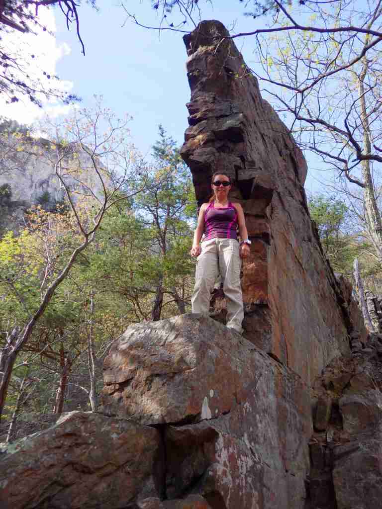
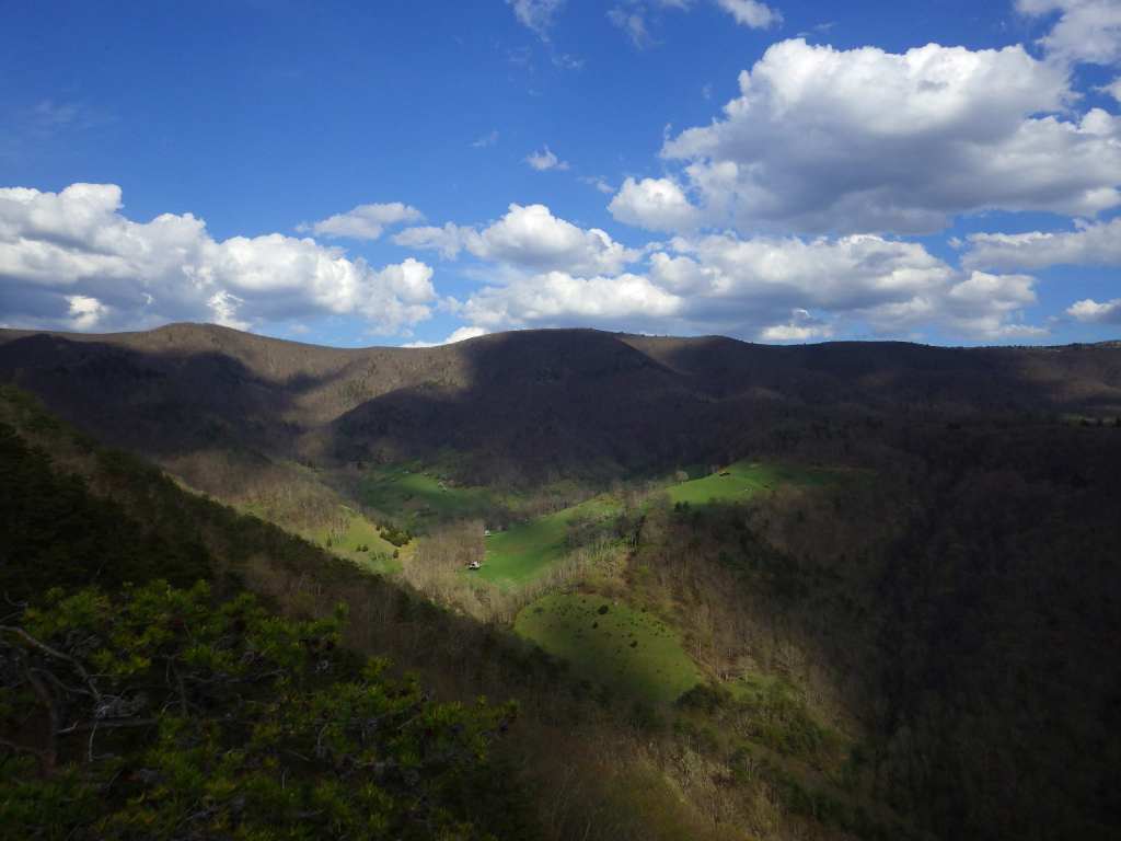
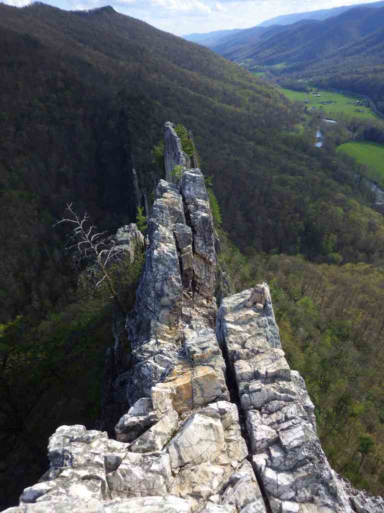
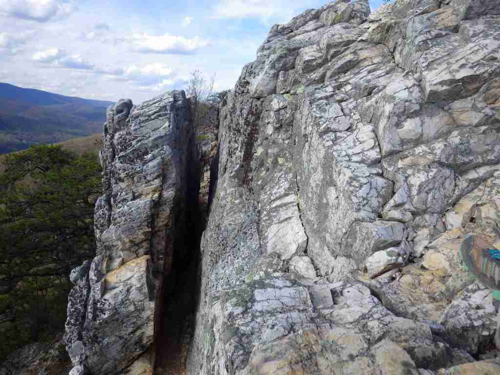
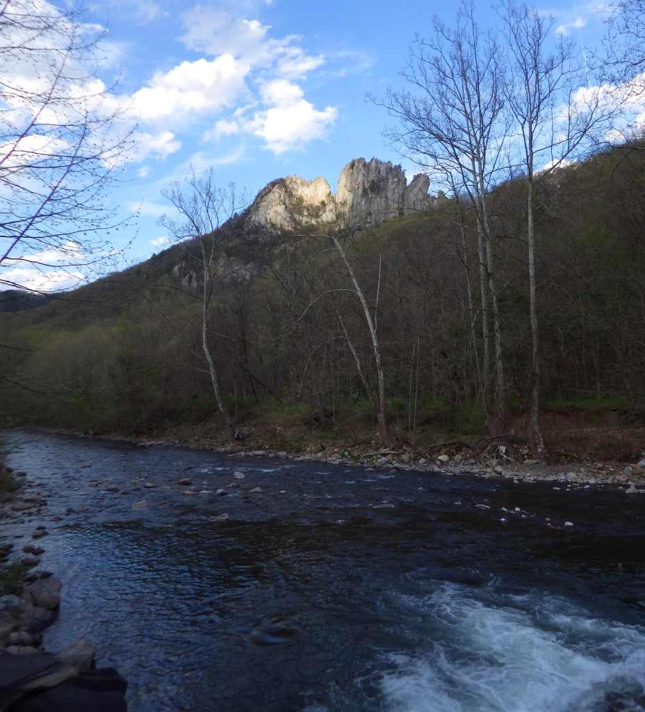
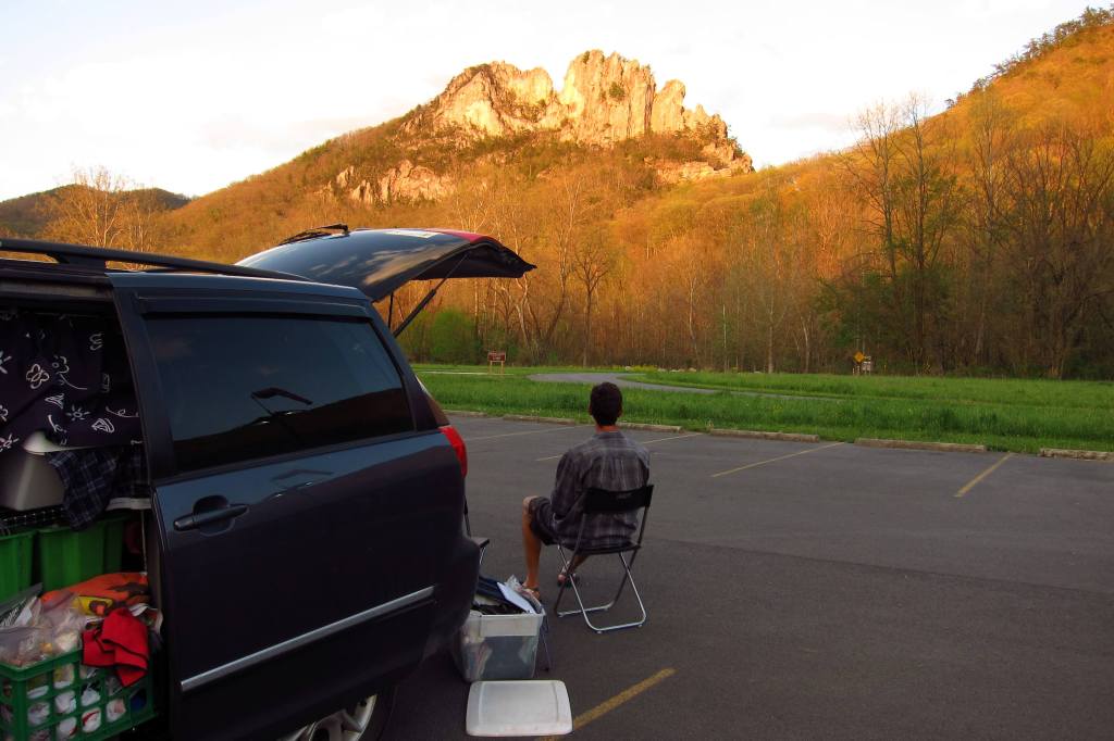
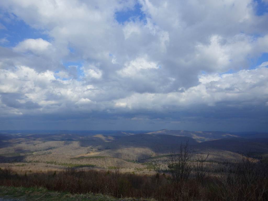
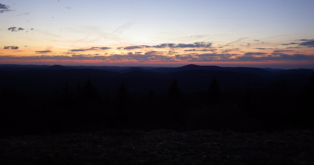
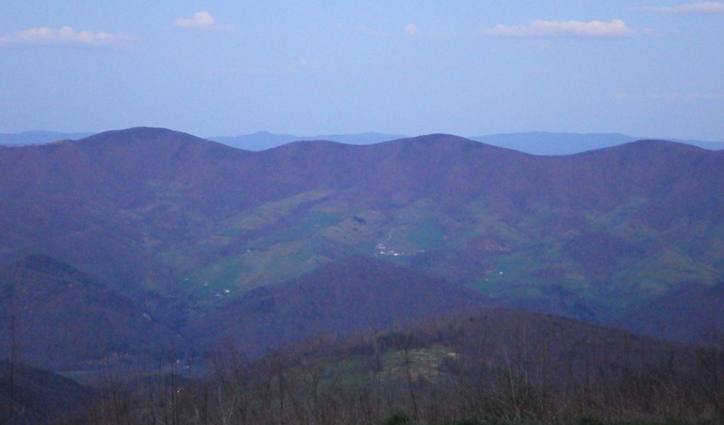
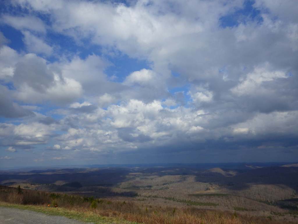
In 1965, this portion of Monongahela National Forest became the first National Recreation Area managed by the U.S. Forest Service. It includes 4,863-foot-tall Spruce Knob, the highest point in West Virginia and the Alleghany Mountains. Seneca Rocks is a 900-foot-tall quartzite crag heavily used by rock climbers, including by the military during World War II. Also part of this area, Smoke Hole Canyon is a rugged 20-mile gorge on the South Branch of the Potomac River. It is best seen by kayaking and whitewater canoeing since there are few trails. Formerly, the canyon had remote family homesteads and moonshine stills, and now it is considered one of the most biologically diverse spots in the eastern U.S.
Highlights
Seneca Rocks Discovery Center, Smoke Hole Canyon, Spruce Knob Tower
Must-Do Activity
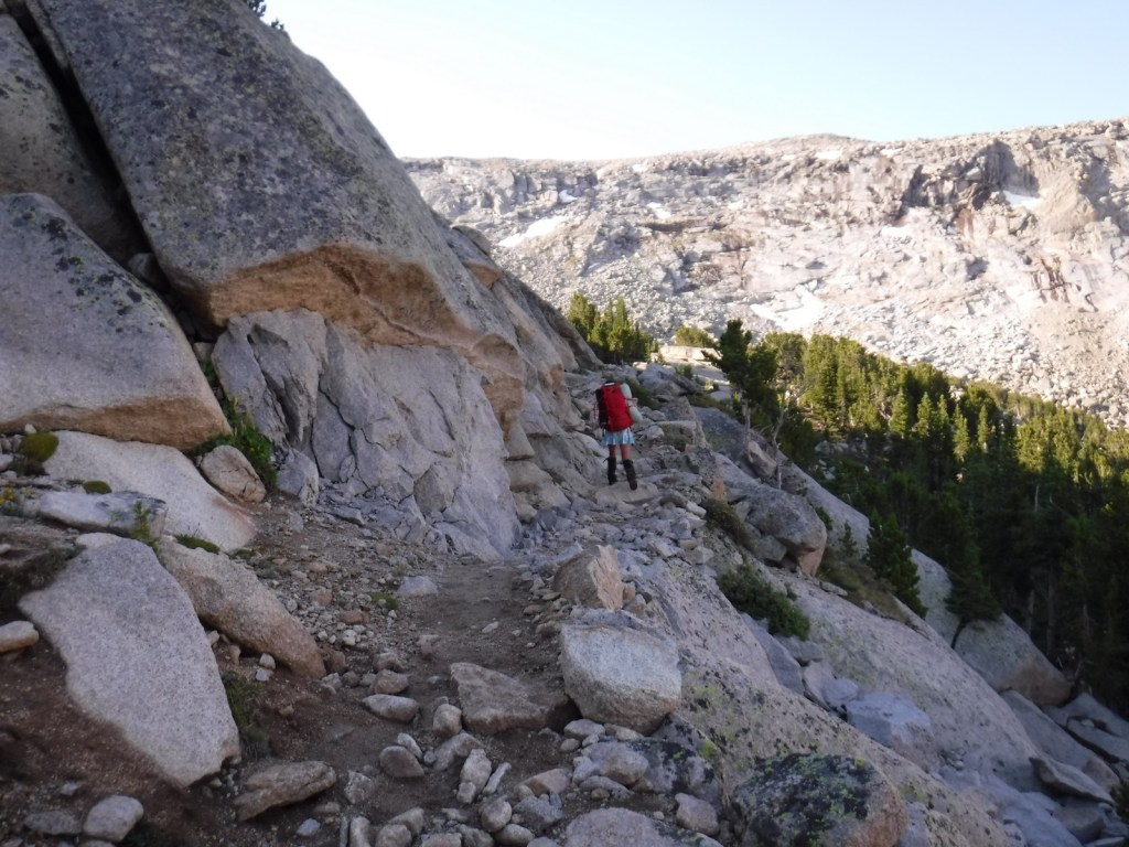
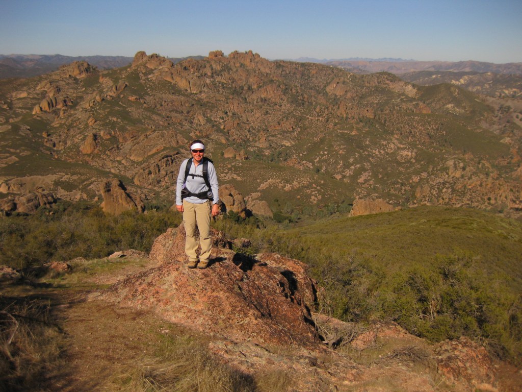
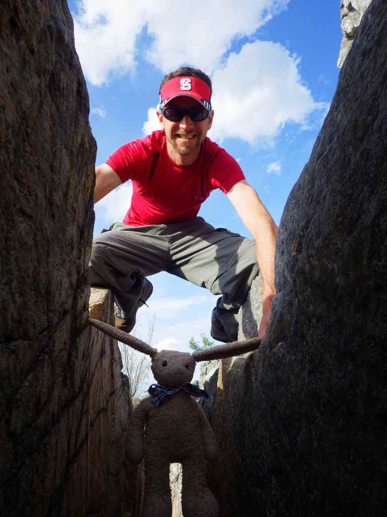
When the road is not closed due to snow, it is easy to drive to the top of Spruce Knob where an observation tower was built for seeing over the trees at the flat summit. The half-mile Whispering Spruce Trail has interpretive signs at the top, and an extensive network of backcountry trails leave from the parking lot to access Seneca Creek and Alleghany Mountain. To the west, 25-acre Spruce Knob Lake has campgrounds and picnic tables, as well as boating and fishing opportunities (but no swimming is allowed). Rock climbing is one of the biggest draws to this area, especially at Seneca Rocks and in Smoke Hole Canyon (at Eagle Rocks, the Route 220 entrance, and the walls of Long Branch).
Best Trail
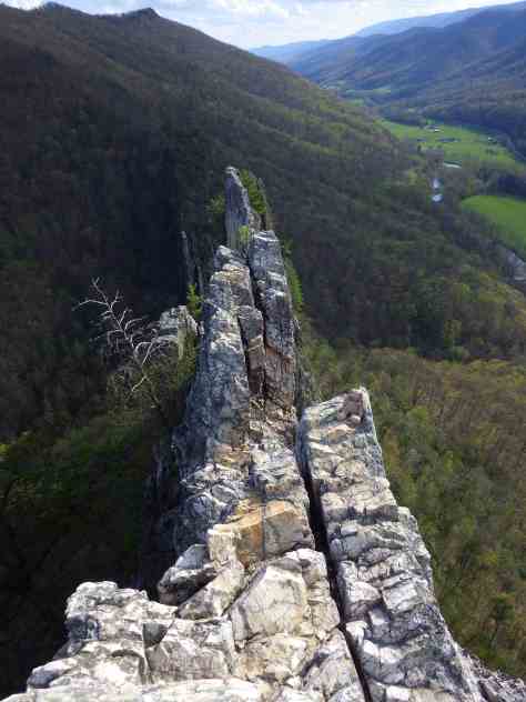
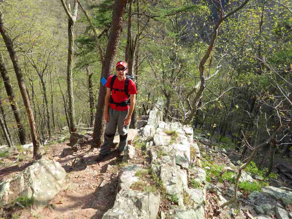
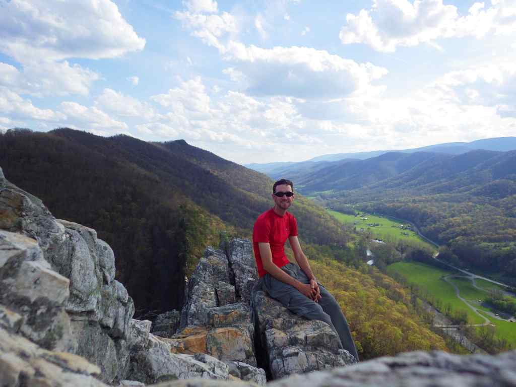
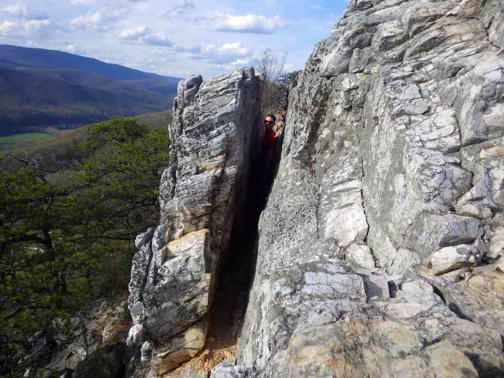
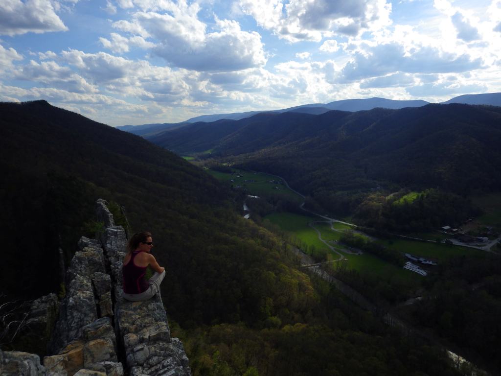
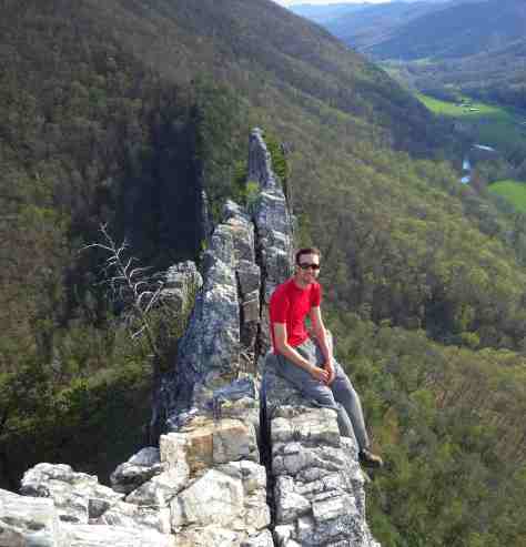
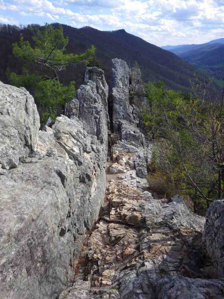
For those not interested in roping up to climb the steep cliffs, stop into the Seneca Rocks Discovery Center open Thursday through Monday in the summer. Next door at the Sites Homestead, on Saturdays pioneer interpreters demonstrate quilting, fiddling, and basket-weaving. Hikers can access the narrow rock ledge at Seneca Rocks via a steep 1.3-mile one-way trail that circles the formation.
Photographic Opportunity
The jagged spires of Seneca Rocks are the most photogenic rock formation in the state. Since 1971, more than a dozen people have died from falls at the site, so exercise extreme caution at the top of the cliff.
Peak Season
Summer
Fees
None
Road Conditions
The paved road to the top of Spruce Knob is open year-round when it is snow-free.
Camping
Big Bend Campground offers 46 sites with hot showers and is located on a peninsula in Smoke Hole Canyon. Seneca Shadows Campground accepts online reservations April through October for walk-to tent sites and standard RV sites. Spruce Knob Lake Campground is more primitive with vault toilets, as are some other campgrounds in Monongahela National Forest.
Related Sites
Allegheny National Recreation Area (Pennsylvania)
Gauley River National Recreation Area (West Virginia)
Mt. Rogers National Recreation Area (Virginia)
Cumberland Gap National Historical Park (Kentucky-Tennessee-Virginia)
Nearest National Park
Explore More – When was the log house first built at the historic Sites Homestead?