Tag Archives: wildlife

Mesa Verde National Park

Overview

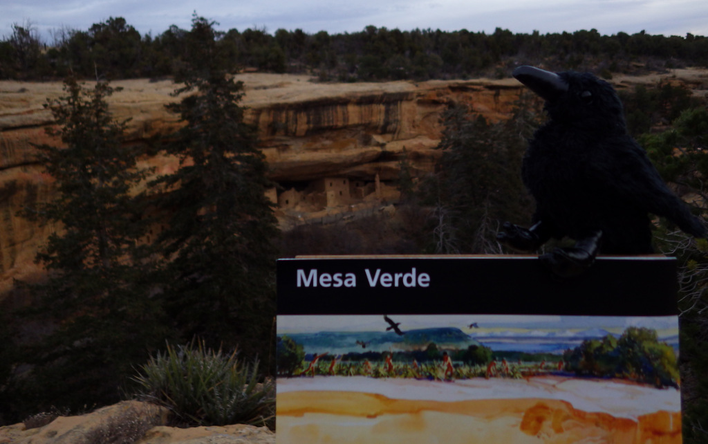
The impressive and numerous (around 600) cliff dwellings here were built by Ancestral Puebloans 600 to 800 years ago before their abandonment.  After a day or two at Mesa Verde, you will understand why since 1906 it has remained the only “National Park” dedicated to preserving an archaeological site.
Highlights

Chapin Museum, Spruce Tree House, Petroglyph Point Trail, Cliff Palace, Step House, annual open house with luminaria

Must-Do Activity

Purchase tickets for guided tours of the ruins at the shiny new visitor center off Highway 160 before driving 20 miles to Long House, Cliff Palace, or Balcony House (the best tour for families).   Leave time to explore Chapin Mesa Museum first, where a high-quality film introduces the history of the region.  When it finally reopens years after a rock fall, you can then take a quick but steep hike to Spruce Tree House, accessible without a paid tour, where you have the opportunity to climb down a ladder into the dim interior of a reconstructed kiva. 

Best Trail

After driving to the less-trafficked Weatherill Mesa, bike or walk the paved road to Nordenskold No. 16 Trailhead, numerous pit-houses, and Step House Loop Trail. 

Instagram-worthy Photo

We think Square Tower House is the most photogenic ruins in the park and can be viewed from an overlook off Mesa Top Loop Road.  In summer 2018, we made reservations for a special guided tour of only 10 people to enter these ruins.

Peak Season

Summer, but it can get hot with little shade atop the mesas.

Hours

https://www.nps.gov/meve/planyourvisit/hours.htm

Fees

$20 per vehicle or America The Beautiful pass

Road Conditions

All roads paved, but some are closed in winter when tours are not offered.

Camping

Morefield Campground has more than 400 campsites atop the mesa; 15 with full RV hookups.  No backcountry camping is allowed.


This design we created to celebrate Mesa Verde National Park is available on a variety of products at Cafe Press and Amazon.

Explore More – What month does the NPS host an evening open house with thousands of candle luminaria, free food, and live music?

Ocmulgee Mounds National Historical Park

Overview

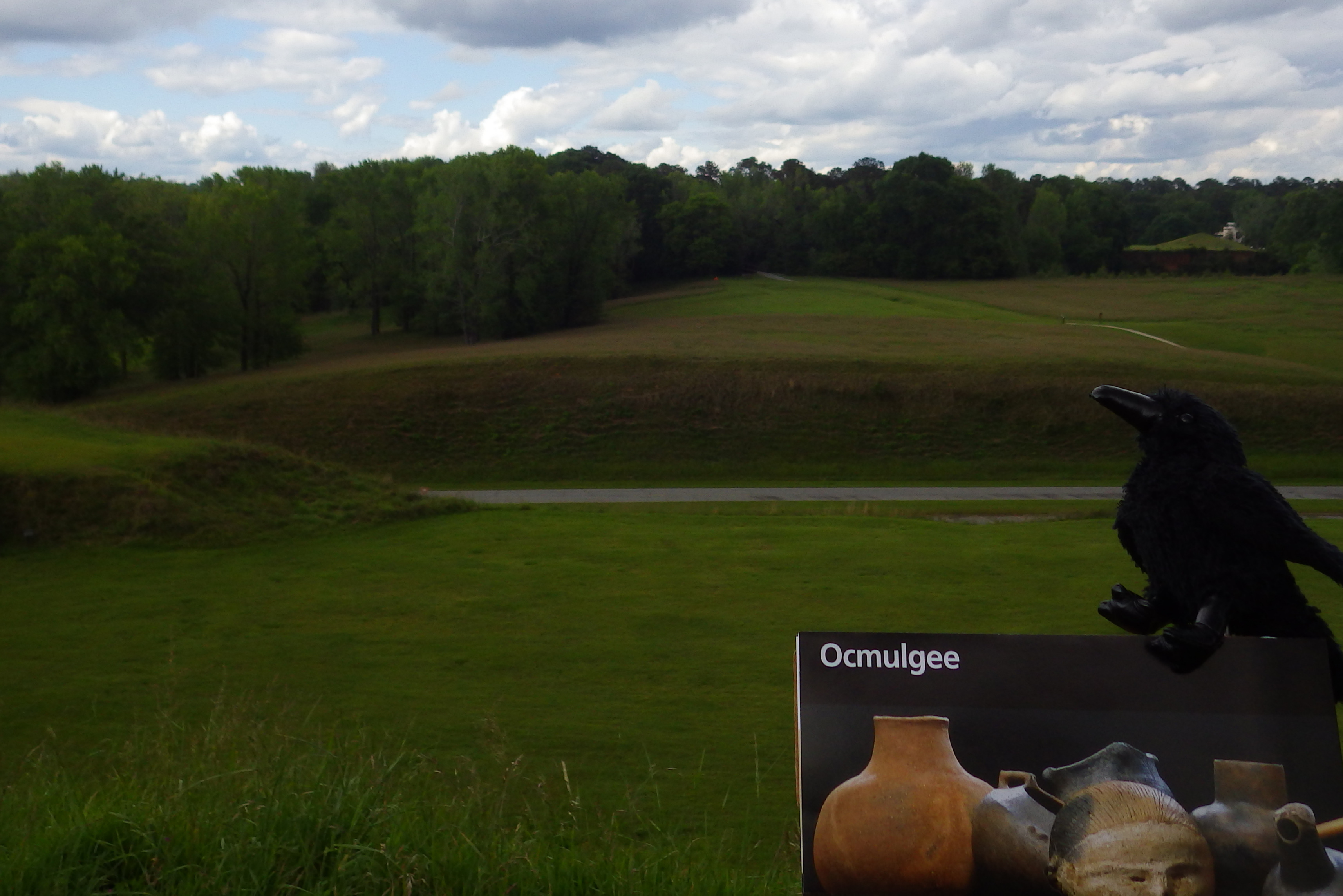
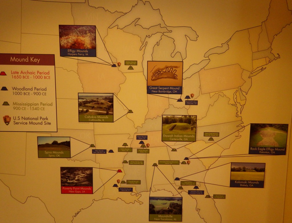
Beginning around 1,100 years ago, the Mississippian Culture became the third and final group of mound builders in the eastern U.S.  In contrast to earlier inhabitants at Poverty Point and Effigy Mounds, they were the first to rely heavily on agriculture.  Located in Macon, Georgia, Ocmulgee Mounds National Historical Park (formerly National Monument) is one of many examples of temple mounds from this time period.

Highlights

Indian mounds, museum, film, Opelofa Nature Trail

Must-Do Activity

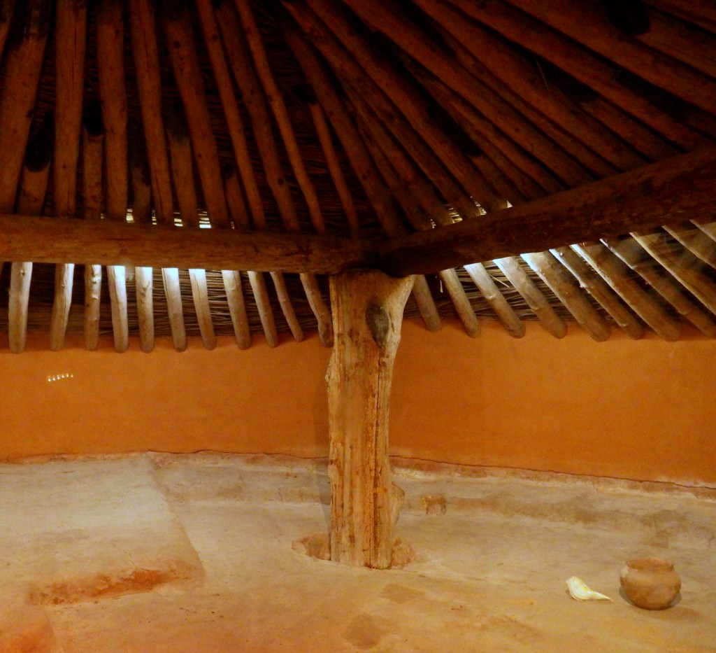
Artifacts dating back to 8000 BCE can be found in the National Park Service museum.  On your walk to the mounds, stop in the reconstructed 42-foot wide earthlodge.  It was an important meeting place for religious leaders (similar to a great kiva) and offers a glimpse into the Mississippian Culture.  There is also evidence of an English trading post from 1690 and trenches from the Civil War.

Best Trail

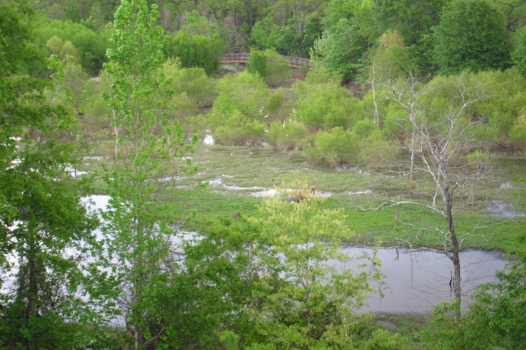
Walk from the visitor center, under the railroad tracks, and up the stairs to access the top of the 55-foot tall Great Temple Mound.  Then watch for wildlife along the Opelofa Nature Trail in the Walnut Creek wetlands.

Instagram-worthy Photo

The Mississippian Culture had a complex social hierarchy, with a royal Great Sun who lived atop this flat-topped temple mound and traveled on a canopied litter carried by servants.  When a Great Sun died his people made human sacrifices so he would not enter the afterlife alone. 

Peak Season

Open year round

Hours

https://www.nps.gov/ocmu/planyourvisit/basicinfo.htm

Fees

None

Road Conditions

All roads paved

Camping

Indian Springs and High Falls State Parks are both about 35 miles from the park.

Explore More – What was the population of this city in AD1000?

Grand Canyon National Park

Grand Canyon National Park

Arizona

Managed by National Park Service

Established 1908 National Monument, 1919 National Park

1,217,262 acres

Website: nps.gov/grca

Overview

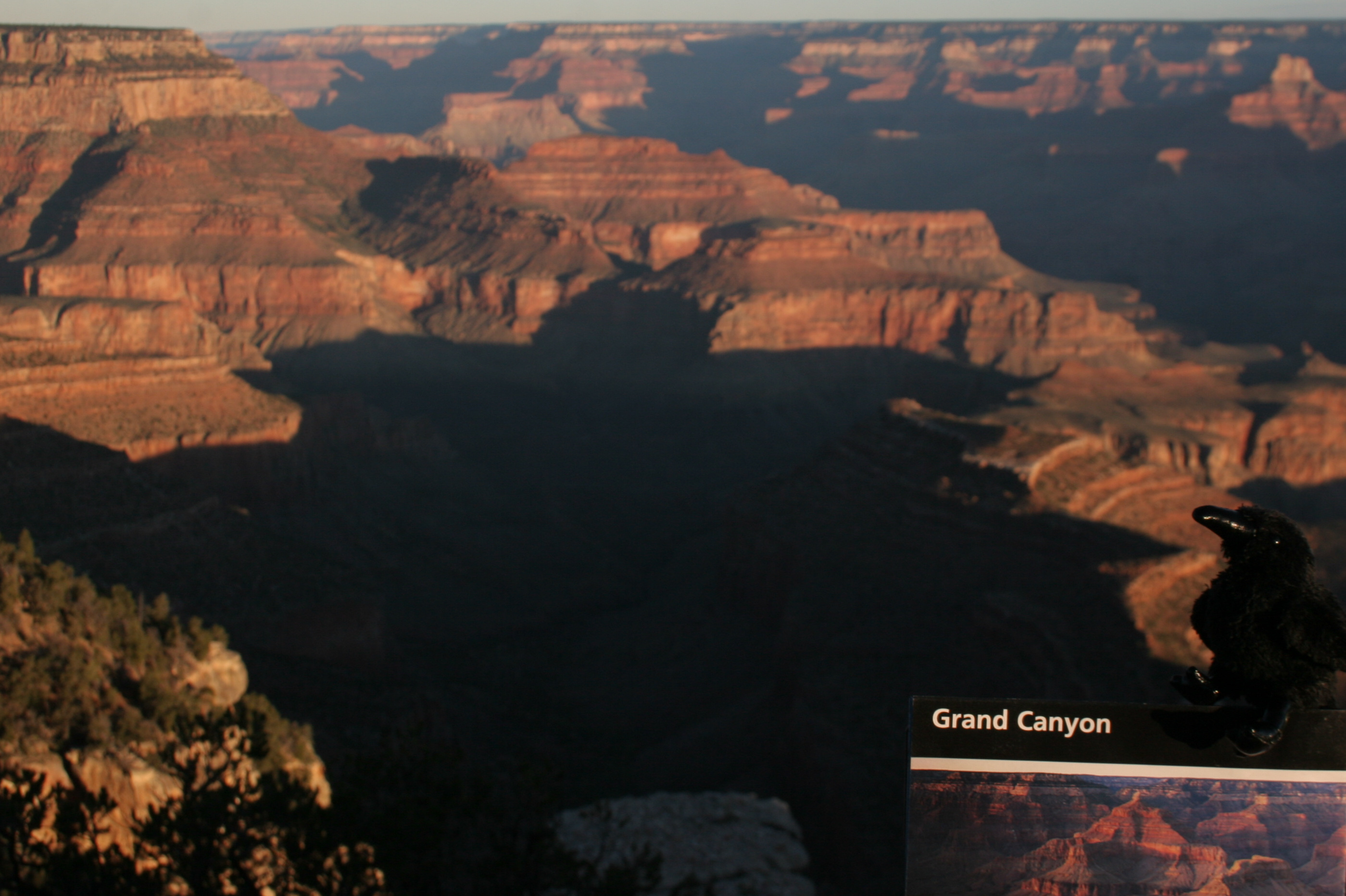
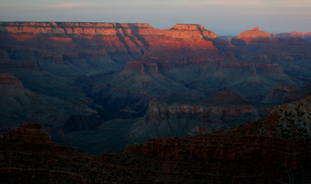
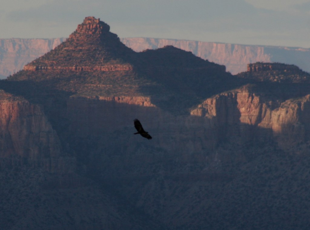
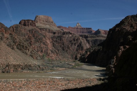
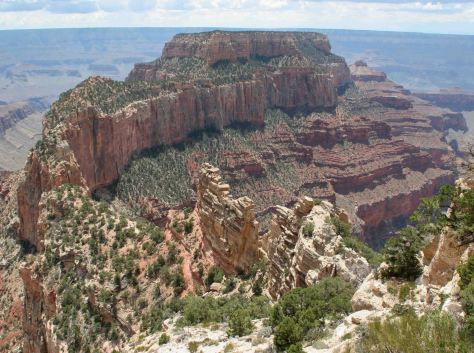
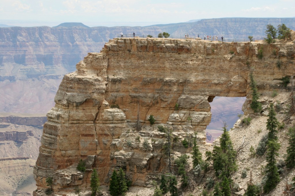
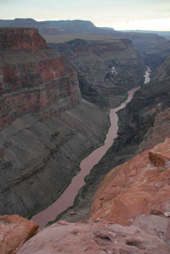
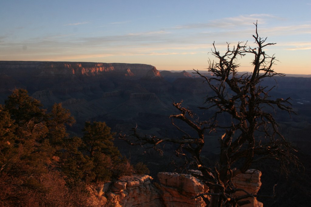
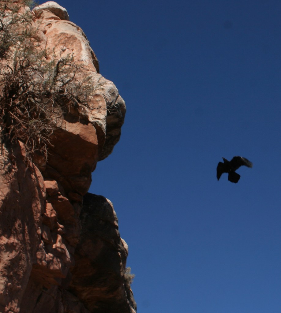
Grand Canyon National Park is generally considered one of the seven natural wonders of the world.   Billions of years of geologic history have been laid bare by the cutting power of the Colorado River.  It is cliché but true, you simply have to see this icon with your own eyes.  It can be overwhelming.  So can the crowds on the South Rim, but those tend to thin out if you hike a mile or two down a trail.  If you have the time during the summer months, be sure to drive five hours over the forested Kaibab Plateau to reach the North Rim (which is only 10 miles away as the raven flies). 

Know someone who loves National Parks? Gift them our travel guide A Park to Yourself: Finding Solitude in America’s 63 National Parks. 

Highlights

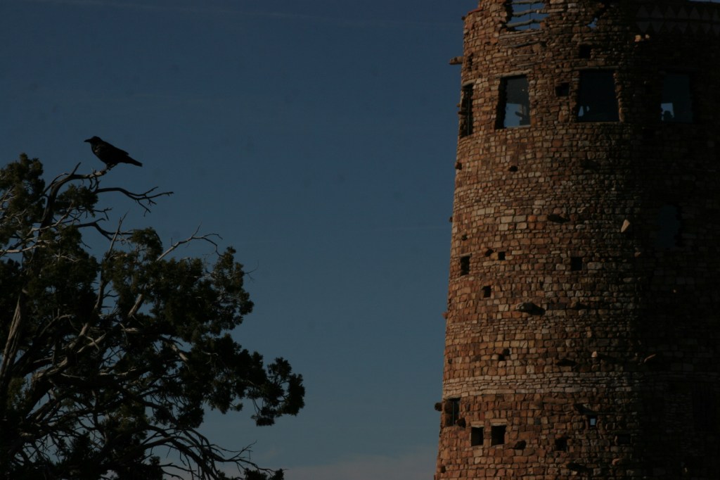
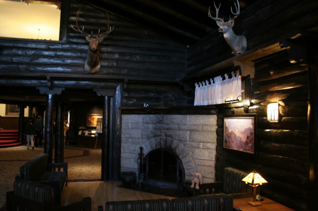
Desert View Watchtower, Hopi House, El Tovar Hotel, Phantom Ranch, Toroweap Overlook, whitewater rafting the Colorado River

Must-Do Activity

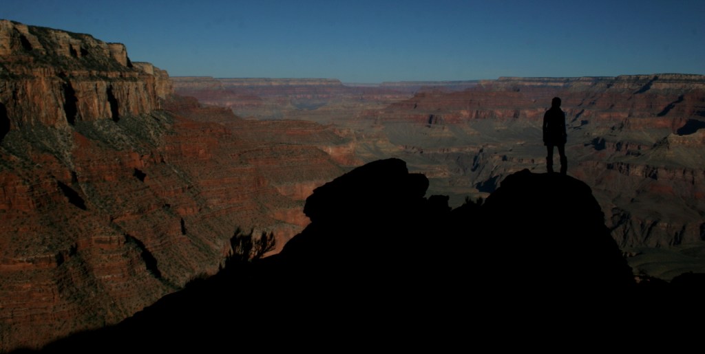
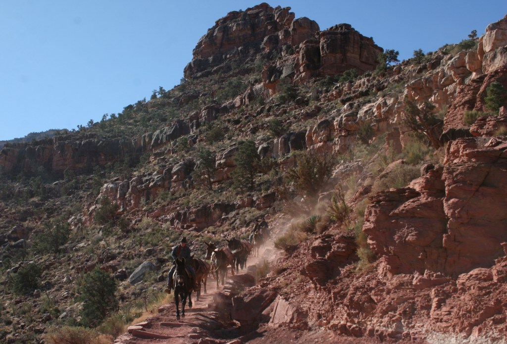
Growing up in Arizona, Scott used to visit this park frequently, but he feels he never got to know it until he hiked to the bottom in 2016.  Even if you only go a couple thousand feet down in elevation on the Grandview Trail or busy Bright Angel Trail, it will give you a new perspective on the canyon.

Best Trail

We day hiked the 18 miles from South Kaibab Trailhead (7200 feet elevation) down to Phantom Ranch (2500 feet) where we filled up with water on the way back up to Bright Angel Trailhead (6800 feet, with multiple water stations on the trail).  Backcountry permits can turn this into a multiple day trek, but then you have to carry all your gear out.

Photographic Opportunity

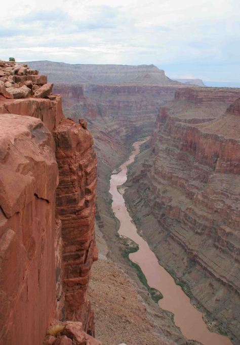
It is an arduous 90-mile one-way drive down a mostly dirt road to access Toroweap Overlook (free online permit required before arrival), but there is a reason photos from this fantastic overlook show up everywhere since the canyon walls are nearly vertical here.

Peak Season

Summer when it is very hot inside the canyon, though it can also be busy around the spring, fall, and December holidays.

Hours

https://www.nps.gov/grca/planyourvisit/hours.htm

Fees

$35 per vehicle or America The Beautiful pass

Road Conditions

Most roads are paved, and except for the very end of the 90-mile long graded dirt road to Toroweap Overlook is accessible to all passenger vehicles (free permit required).

Camping

The park has campgrounds on both rims, but you can also find dispersed camping in the neighboring Kaibab National Forest.

Related Sites

Baaj Nwaavjo I’tah Kukveni–Ancestral Footprints of the Grand Canyon National Monument (Arizona)

Coconino National Forest (Arizona)

Wupatki National Monument (Arizona)

This design we created to celebrate Grand Canyon National Park is available on a variety of products at Cafe Press and Amazon.

Explore More – Was Marguerite Henry’s book character Brighty based on a real burro?

Know someone who loves National Parks? Gift them our travel guide A Park to Yourself: Finding Solitude in America’s 63 National Parks. 

White Sands National Park

Overview

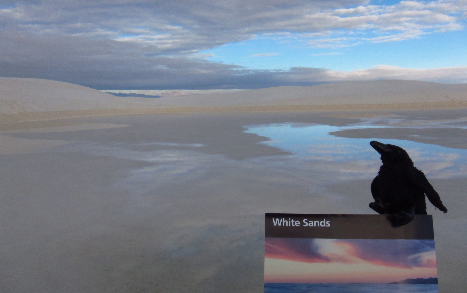
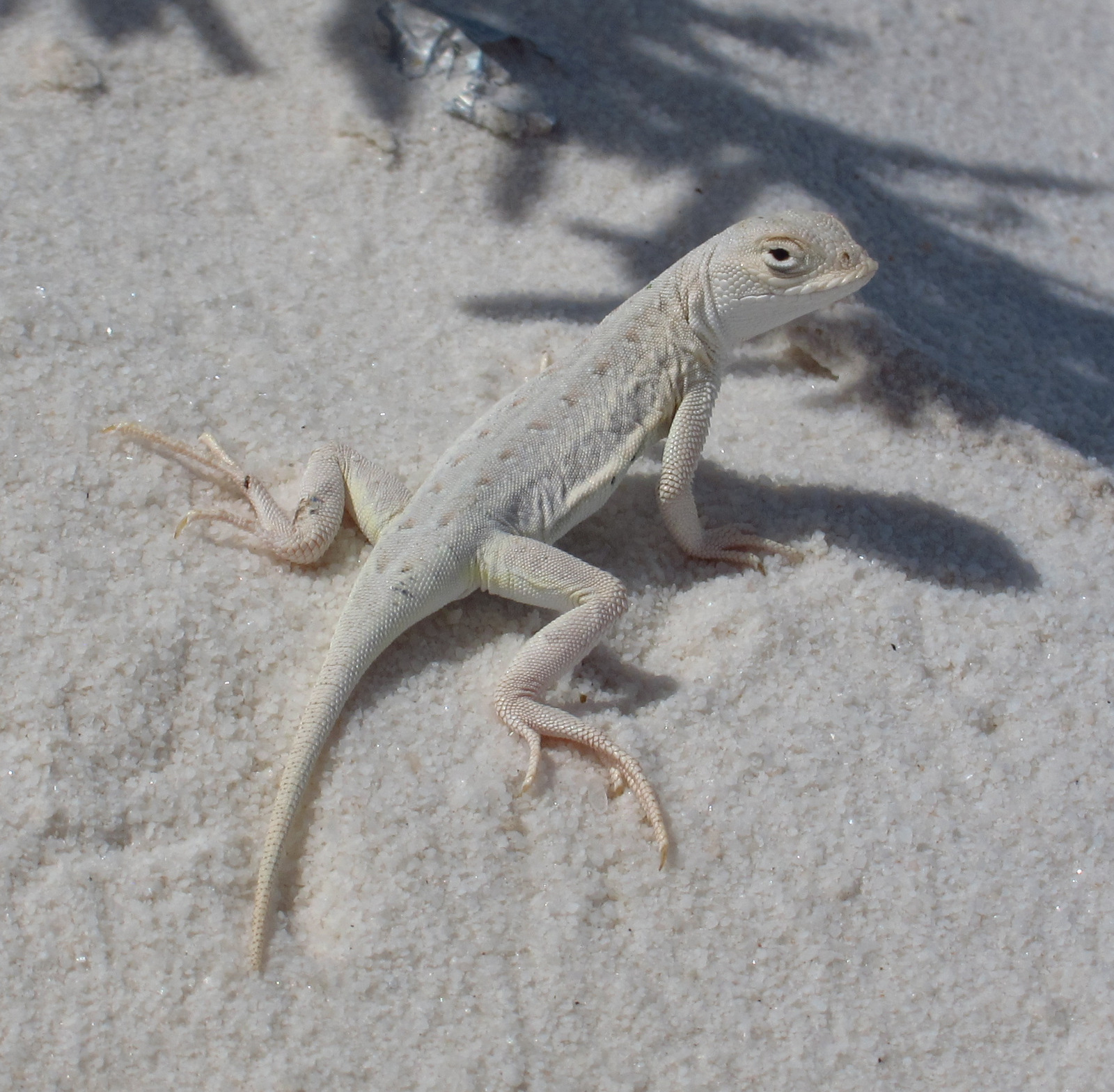
You might know gypsum as the white powder inside drywall panels.  Gypsum readily dissolves in water, but here it forms sand dunes because no river drains the Tularosa Basin.  The white color of the dunes does make for extra intense albedo, so be sure to bring sunglasses and carry plenty of water.  Most of the wildlife here is nocturnal, but during the day you may spot a lizard species evolved to camouflage in the sand.

Update: As of December 20, 2019, the former National Monument is now called White Sands National Park.

Highlights

Scenic views, sledding, Interdune Boardwalk, wildlife

Must-Do Activity

Dunes composed of gypsum make a great destination for snow sledding year round, especially after a rainfall.  It is fun to see children wearing T-shirts and shorts sliding down the sparkling white slopes.

Best Trail

Follow markers on the five-mile round trip Alkali Flat Trail that goes up and down dunes with views of the San Andres Mountains.

Instagram-worthy Photo

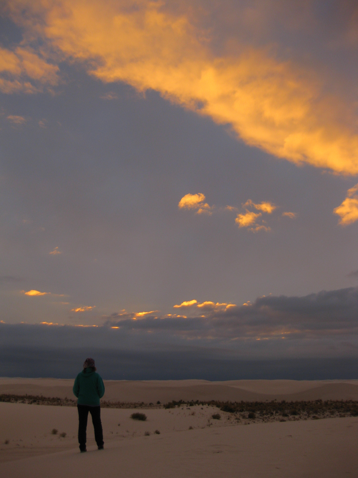
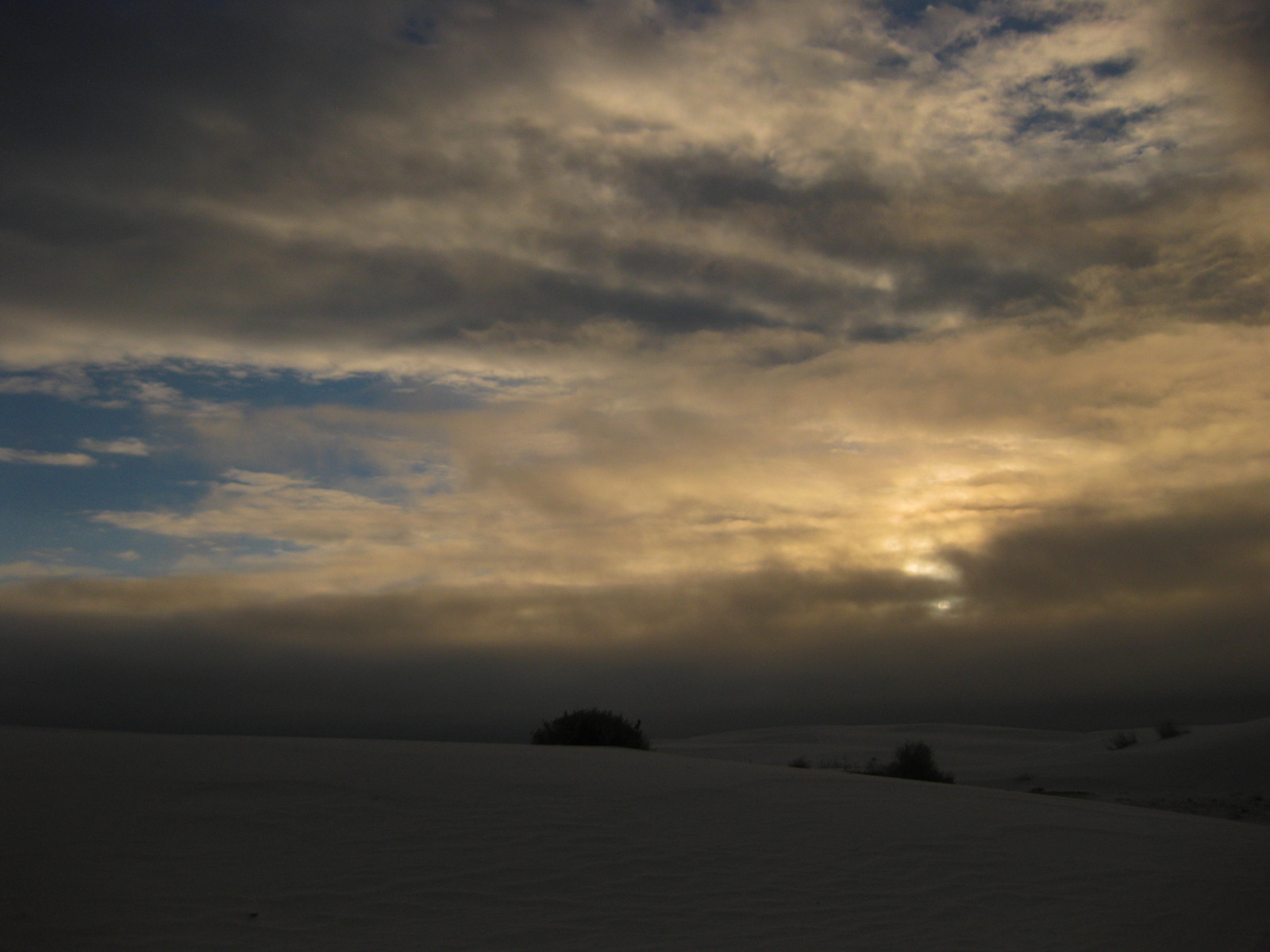
The white dunes take on the colors of the sunset if you decide to backpack or take the ranger-guided Sunset Stroll.

Peak Season

Spring and fall, since it can be very hot in the summer.

Hours

https://www.nps.gov/whsa/planyourvisit/hours.htm

Fees

$5 per person or America The Beautiful pass

Road Conditions

Mostly paved and the packed dirt road is drivable by all vehicles.

Camping

Only backcountry camping is allowed in 10 designated sites for $3 per person, but that is dependent upon whether the military is conducting missile tests overnight so call ahead or check the schedule online.  Oliver Lee Memorial State Park offers a full service campground south of Alamogordo.

This design we created to celebrate White Sands National Park is available on a variety of products at Cafe Press and Amazon.

Explore More – What happens to the deep root system of a soaptree yucca when the dune it is growing on blows away?

We are a participant in the Amazon Services LLC Associates Program, an affiliate advertising program designed to provide a means for us to earn fees by linking to Amazon.com and affiliated sites.

Death Valley National Park

Overview

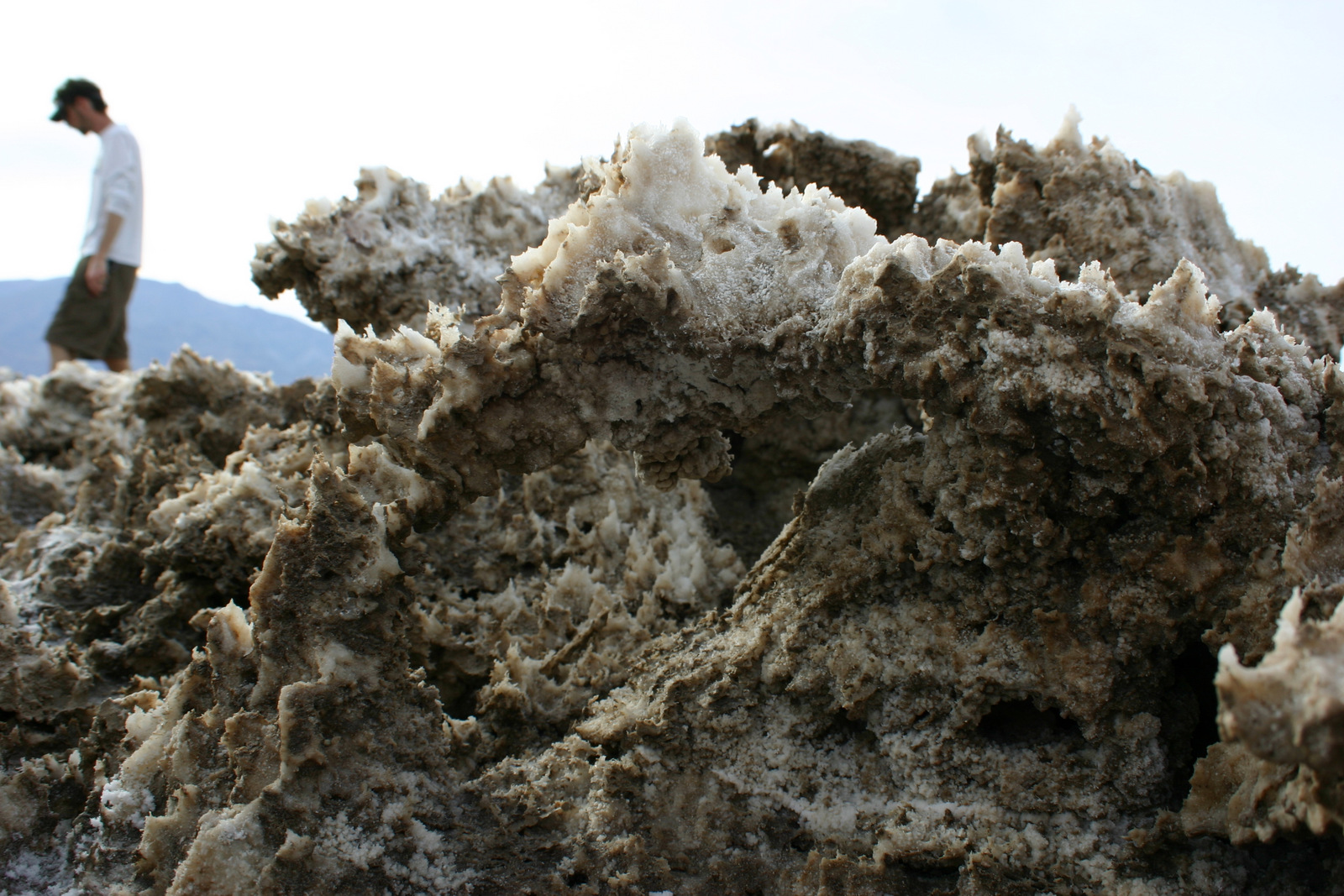
Death Valley is our favorite of the 9 National Parks in California.  Ghost towns and abandoned mills abound throughout its 3.4-million acres, including Leadfield on the one-way dirt road through Titus Canyon.  Most of the attractions are found in and around the historic Furnace Creek Inn: watch sunrise at Zabriskie Point or sunset at 5,475-foot Dantes View; hike through gorgeous Golden Canyon or under Natural Bridge; drive to the ironic Devils Golf Course or the colorful Artists Drive; and walk into Badwater Basin, which at -282 feet below-sea-level is the lowest point in North America, even more impressive since it sits directly beneath 11,049-foot Telescope Peak. 

Highlights

Badwater Basin, Zabriskie Point, Golden Canyon Trail, Devils Golf Course, Artists Drive, Salt Creek Interpretive Trail, Titus Canyon, Telescope Peak, sand dunes

Must-Do Activity

Death Valley averages less than 2 inches of precipitation annually, yet less than 10,000 years ago Badwater Basin was the bottom of a massive inland lake, the remnants of which be found along Salt Creek Interpretive Trail.  Here tiny desert pupfish survive in the salty, hot water. The related and endangered Devils Hole pupfish can be seen at a disconnected part of Death Valley National Park surrounded by Nevada’s Ash Meadows National Wildlife Refuge.

Best Trail

There are great trails throughout this park, but we prefer walking wherever we want on the many sand dunes.  The best are the Panamint Dunes; tucked on a mountain slope they require a three mile hike to reach.   That means when you drop your sleeping bag on top you will likely have the place to yourself.  More centrally located are the popular Mesquite Flat Sand Dunes.  In the northern section of the park the steep Eureka Dunes have a free primitive campground at their base.

Instagram-worthy Photo

A dry, flat lakebed in the northwestern corner of the park provides a racetrack for rocks of all shapes and sizes.  High winds and ice crystals are the key to their movement, which is clearly shown in their wake.  Do not let the 26 mile dirt road stop you from visiting this spectacular site.  It is passable by most vehicles when the road is dry (we drove our mini-van there)and when the Racetrack is wet you should refrain from walking on it anyway. 

Peak Season

Spring and fall, with summer’s being incredibly hot except at the highest elevations.  However, it can snow just about any month of the year.

Hours

https://www.nps.gov/deva/planyourvisit/hours.htm

Fees

$30 per vehicle or America the Beautiful pass

Road Conditions

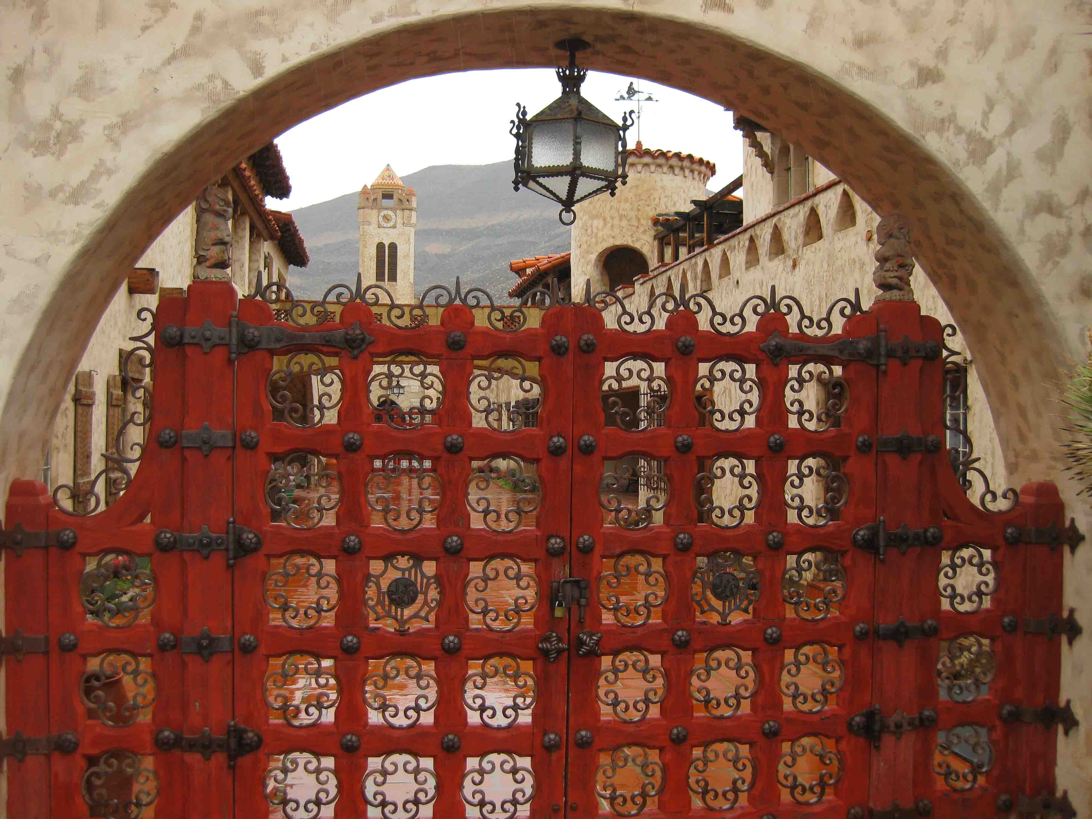
The main roads are paved, but to really enjoy the park you should drive a high-clearance vehicle (rental 4x4s are available near Furnace Creek).  As of December 2018, Scotty’s Castle is still inaccessible due to flood damage on the road.

Camping

There are campgrounds, but a unique aspect of this National Park is that you can disperse camp for free along many of its dirt roads.  Backcountry camping is also free and does not require a permit.


This design we created to celebrate Death Valley National Park is available on a variety of products at Cafe Press and Amazon.

Explore More – What is the connection between Death Valley, 20 Mule Team Borax, and Stephen Mather (who in 1916 became the first Director of the National Park Service)?

1WonsTiny2

WONDON WAS HERE …TWICE …THRICE …FORCE? …FIF!

We are a participant in the Amazon Services LLC Associates Program, an affiliate advertising program designed to provide a means for us to earn fees by linking to Amazon.com and affiliated sites.