Tag Archives: wildlife

Devils Tower National Monument

Wyoming

Managed by National Park Service

Established 1906

1,347 acres

Website: nps.gov/deto

Overview

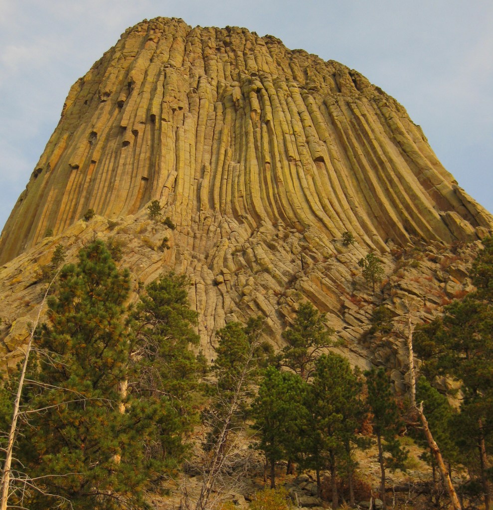
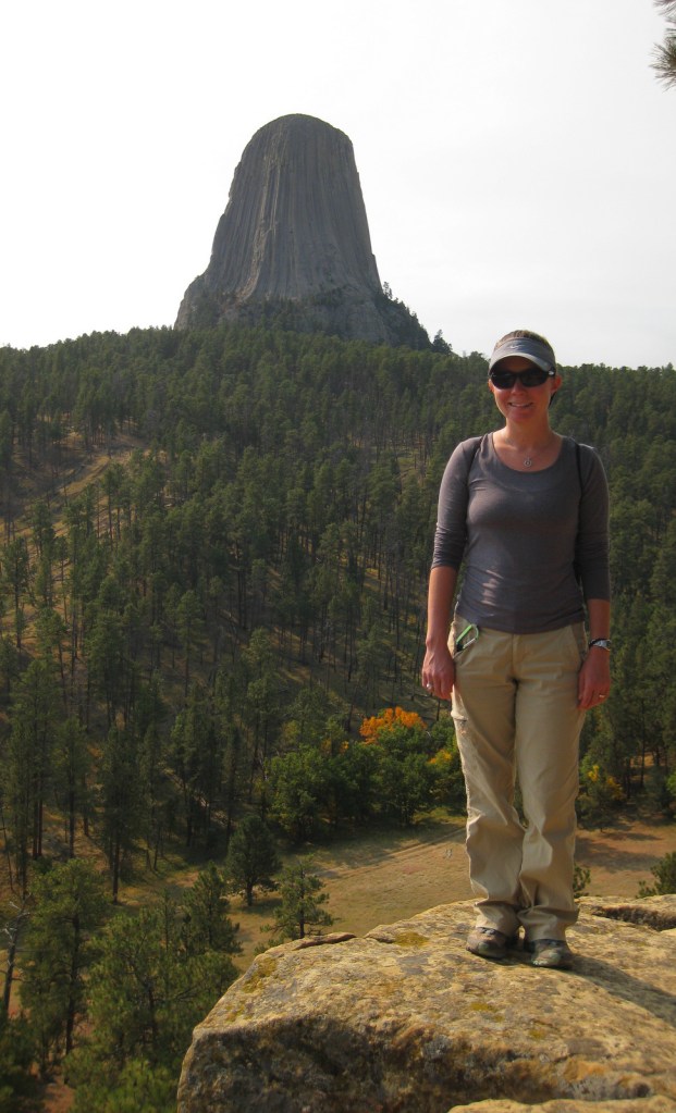
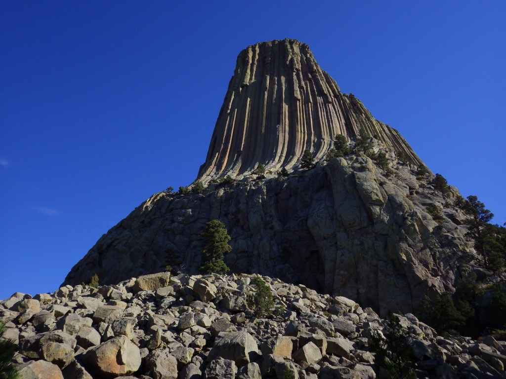
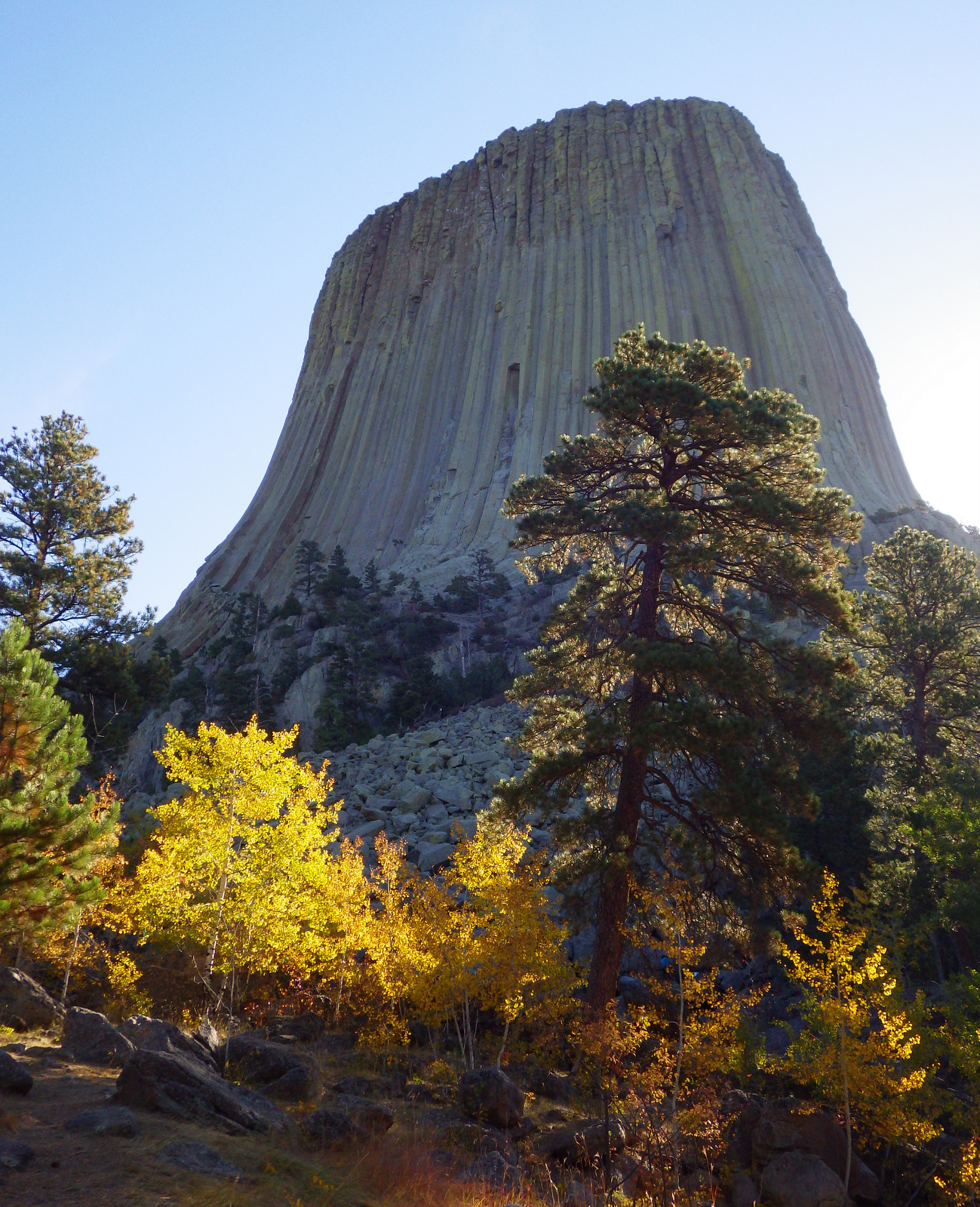
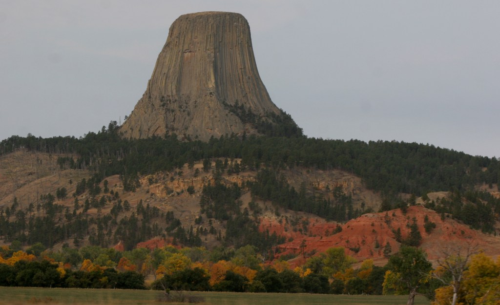
Devils Tower was named the United States’ first National Monument by President Teddy Roosevelt in 1906.  Legend has it that its deep stripes were made by the tearing claws of a giant bear attempting to climb after seven girls who were saved when the rock grew from three feet high to its current 867 feet.  You can see the girls today as the constellation Pleiades.  The bear came to rest in Bear Butte State Park in South Dakota.

Know someone who loves the National Monuments? Gift them our travel guidebook Monumental America: Your Guide to All 138 National Monuments that is available for sale on Amazon.com.
Highlights

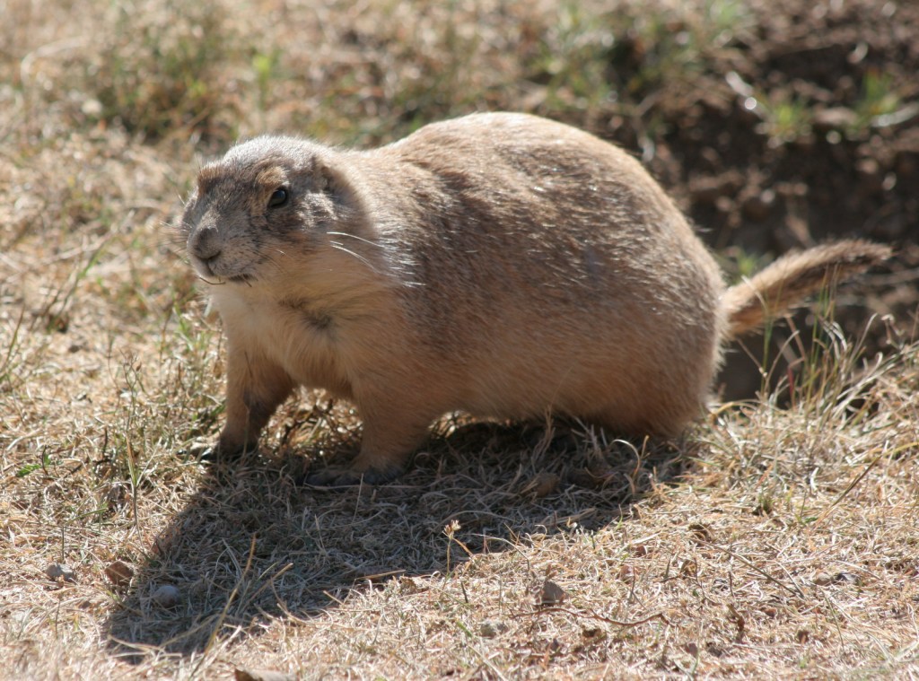
Tower Trail, Joyner Ridge Trail, Prairie Dog Town

Must-Do Activity

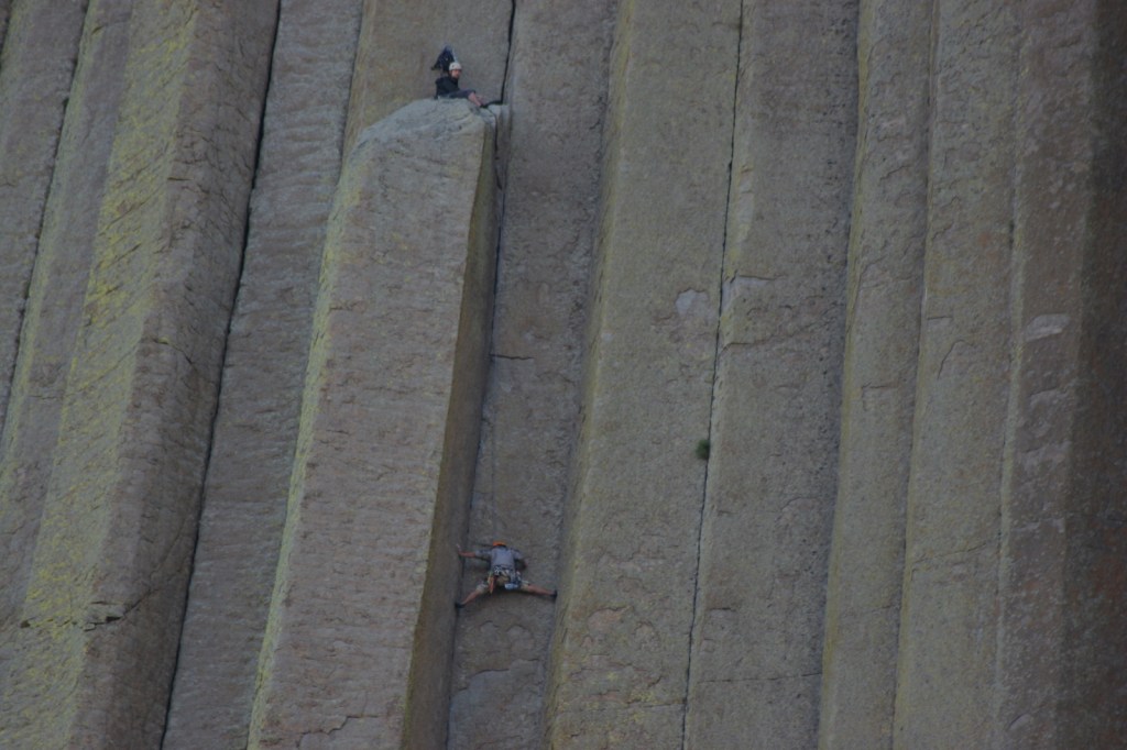
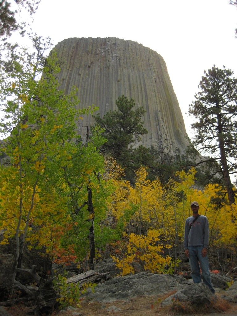
Devils Tower is a distinctive 50-million-year-old volcanic plug, whose steep sides have been an irresistible challenge to rock climbers for years.  Watch for them as you complete the 1.3-mile loop trail around the entire tower, as it looks different from every angle.  Also look for the colorful prayer cloths left by Native Americans, many of whom would prefer this sacred site be renamed Bear Lodge National Monument.

Best Trail

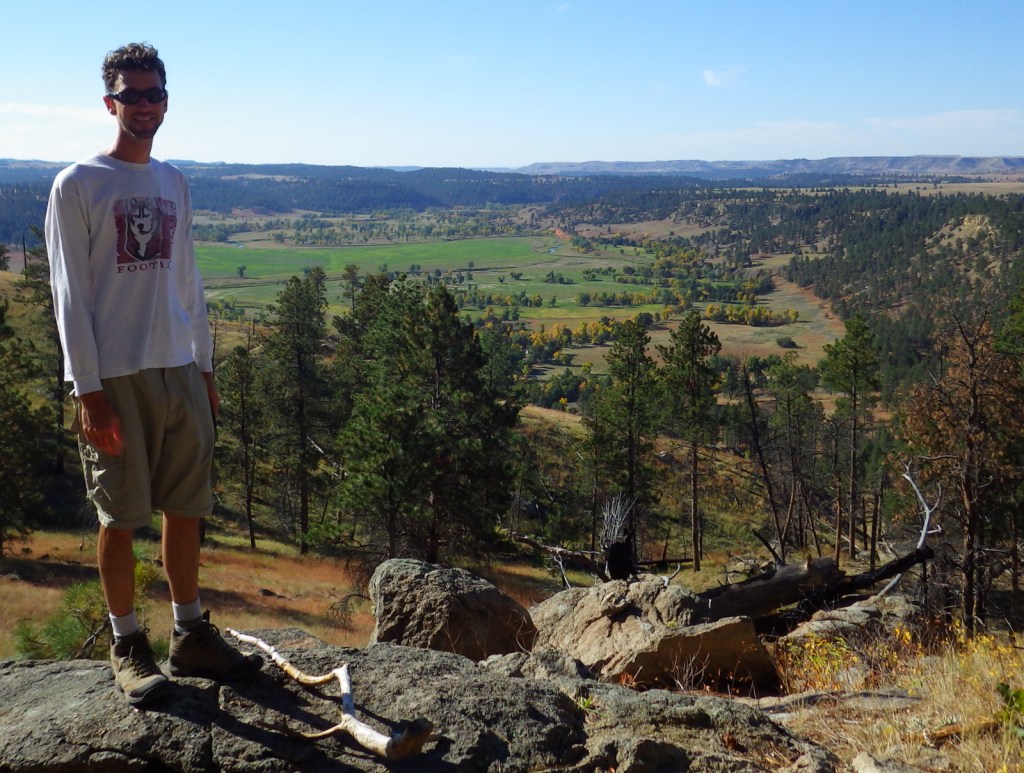
Joyner Ridge Trail provides a unique view of the tower and forms a 1.5-mile loop or connects to the longer Red Beds Trail that circumnavigates it.

Instagram-worthy Photo

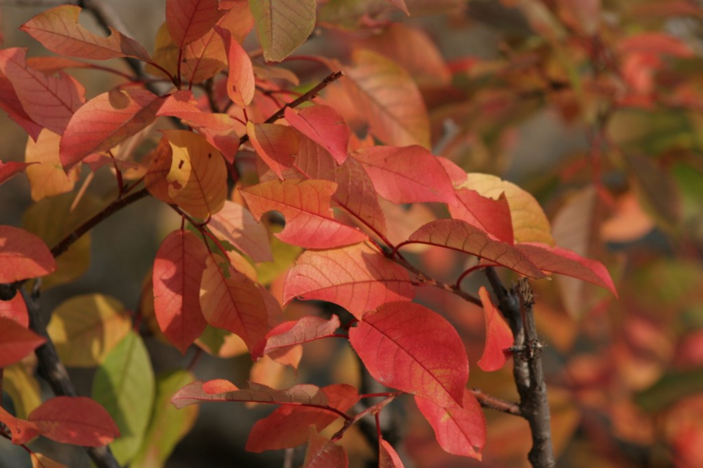
Visit in late September for fall foliage: golden quaking aspens and red chokecherry bushes.
Peak Season

Summer

Hours

https://www.nps.gov/deto/planyourvisit/hours.htm

Fees

$25 per vehicle or America The Beautiful pass

Road Conditions

Long vehicles must park just below the visitor center and hike a short ways up.  The short West Road to Joyner Ridge Trailhead is a good dirt road.

Camping

On the prairie below Devils Tower, a 50-site campground is located within a grove of cottonwood trees, with running water available May through October.  A private campground with RV hookups is located near the park entrance. Dispersed camping is possible in parts of Black Hills National Forest, but be careful to avoid private inholdings.

Related Sites

Yellowstone National Park (Wyoming-Montana-Idaho)

Black Hills National Forest (South Dakota-Wyoming)

Fossil Butte National Monument (Wyoming)

Grand Teton National Park (Wyoming)

Nearest National Park
Wind Cave

Explore More – How is park connected with the classic 1978 film Close Encounters of the Third Kind?

Learn more about the other 137 National Monuments in our book Monumental America: Your Guide to All 138 National Monuments

Padre Island National Seashore

Overview

To experience the natural side of this semitropical region, make a trip to Padre Island National Seashore south of Corpus Christi, Texas.  Unlike touristy South Padre Island, this barrier island offers 65 miles of undeveloped beaches for exploration by foot and 4-wheel-drive vehicles. 

Highlights

Malaquite Beach, Grasslands Nature Trail, Bird Island Basin

Must-Do Activity

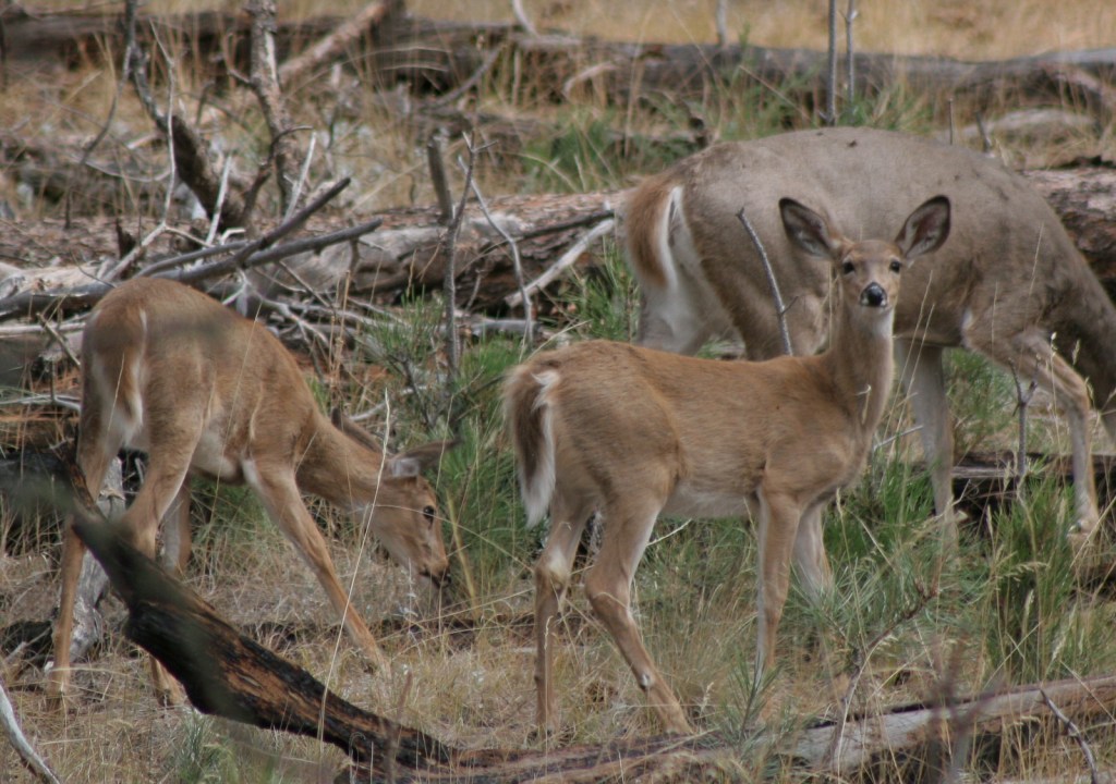
This wild island attracts a lot of wildlife, like white-tailed deer, a variety of shorebirds, and, unfortunately, Portuguese man-o-wars.  Keep an eye out for sea turtle patrols that drive up and down the beach all day seeking females laying eggs, including the endangered Kemp’s ridley.  Head further north for more bird watching, as Aransas National Wildlife Refuge typically sees a few overwintering whooping cranes, an extremely rare species.

Best Trail

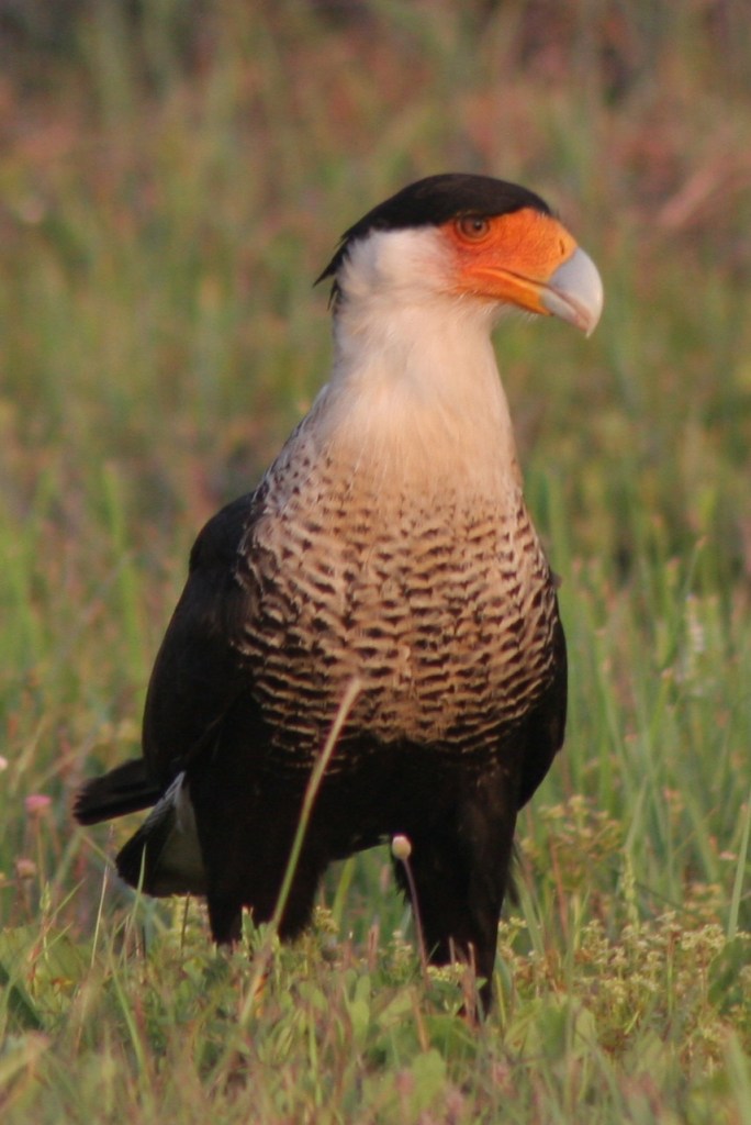
Take a walk on a boardwalk through the sand dunes on Grasslands Nature Trail to find white-tailed deer and maybe even a crested caracara.  Also look for caracaras along the roadside since they will eat carrion.

Instagram-worthy Photo

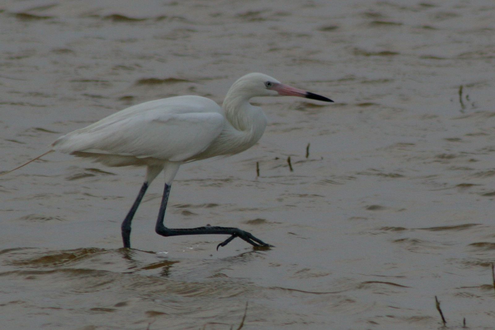
On the bay side of the barrier island, you can camp and watch kitesurfers at Bird Island Basin where herons and egrets are a common sight.  We also saw white pelicans in the spring.

Peak Season

Summer

Hours

https://www.nps.gov/pais/planyourvisit/hours.htm

Fees

$20 per vehicle or America The Beautiful pass

Road Conditions

Roads are paved to Malaquite Beach visitor center and from there you can drive most of the beaches with a 4-wheel-drive vehicle. 

Camping

Primitive camping is allowed on the beaches, but there is also a nice campground with water and showers near Malaquite Beach visitor center.  If you cannot find a campsite at Padre Island National Seashore, try up north at Mustang Island State Park.

Explore More – Currents in the Gulf of Mexico bring significant amounts of floating trash to the shoreline; how can you help during your visit?
Cabrillo National Monument

Overview

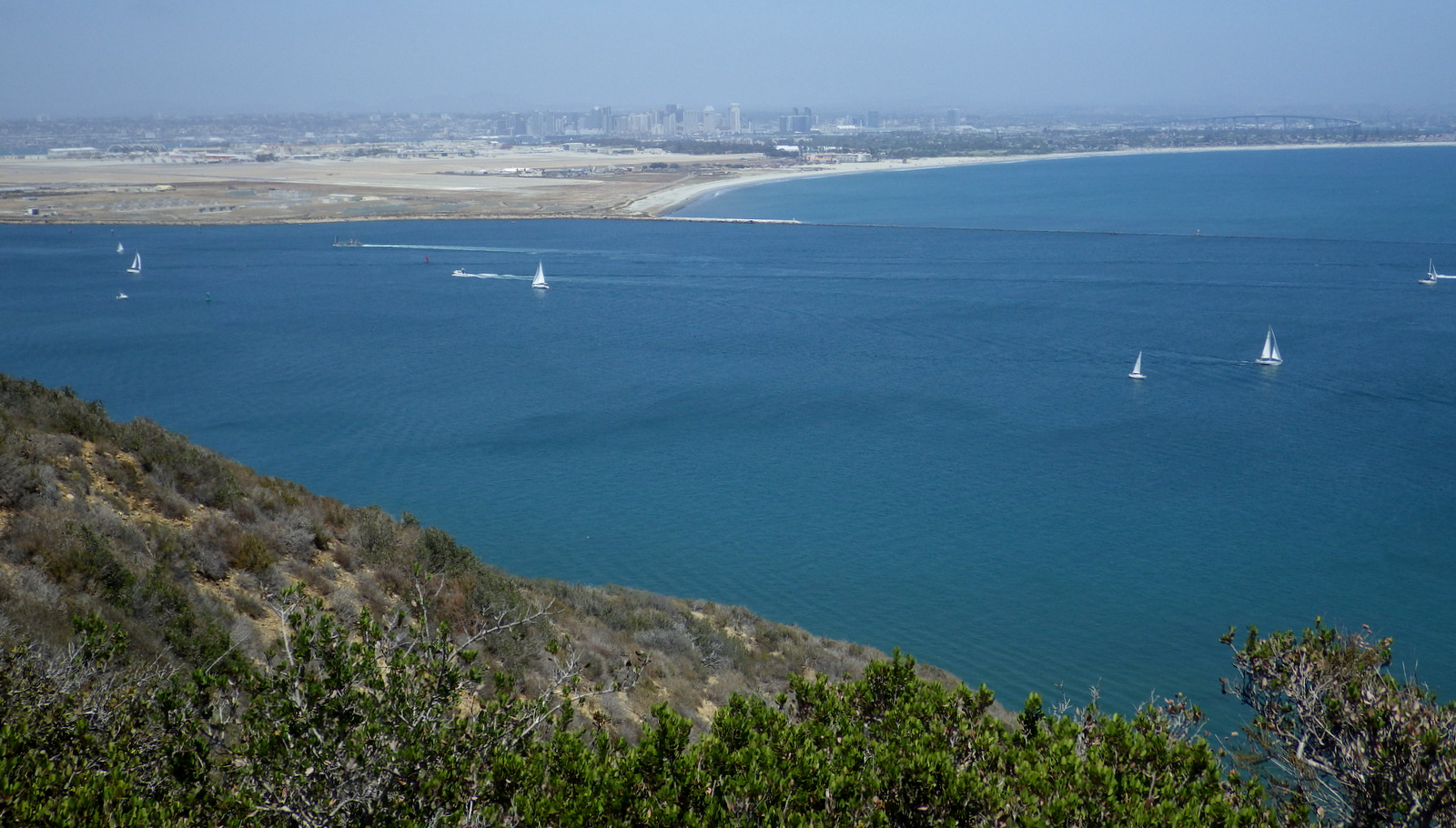
Cabrillo National Monument is named for a Spanish explorer that sailed the California coastline in 1542 before mysteriously dying in the Channel Islands.  Located on Point Loma peninsula west of San Diego Bay, the steep cliffs offer great overlooks of Coronado Island and the city beyond. 

Highlights

Cabrillo statue, 1854 Old Point Loma Lighthouse, tidepools
Must-Do Activity

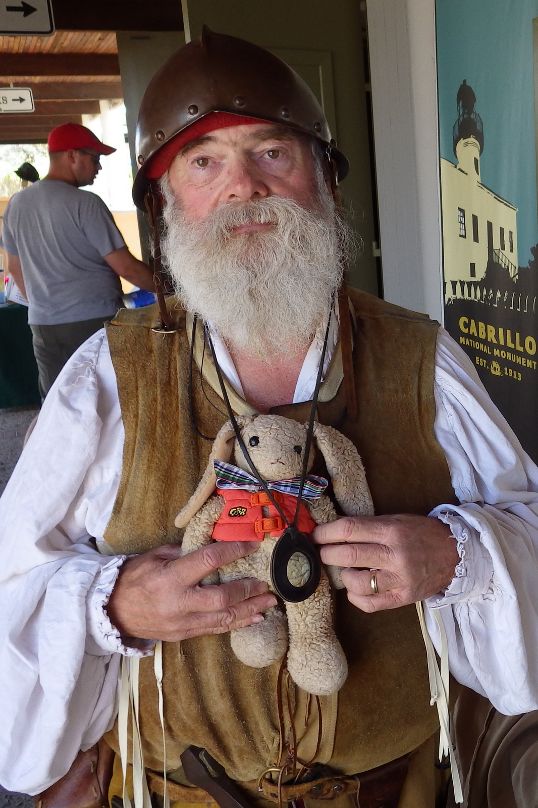
To find out more about the history of Spanish exploration in this region, check out the museum and talk to one of the costumed actors (it is southern California after all).  The national monument is a great place to imagine life at the Old Point Loma Lighthouse or learn the military past of the strategic defense post Fort Rosecrans. 

Best Trail

Follow the road downhill to the Pacific Ocean side of the peninsula to a great spot to explore tidepools.  Watch for migrating gray whales in the winter and the many unique bird species that migrate up and down the coast.  There is also the 2.5-mile roundtrip Bayside Trail.

Instagram-worthy Photo

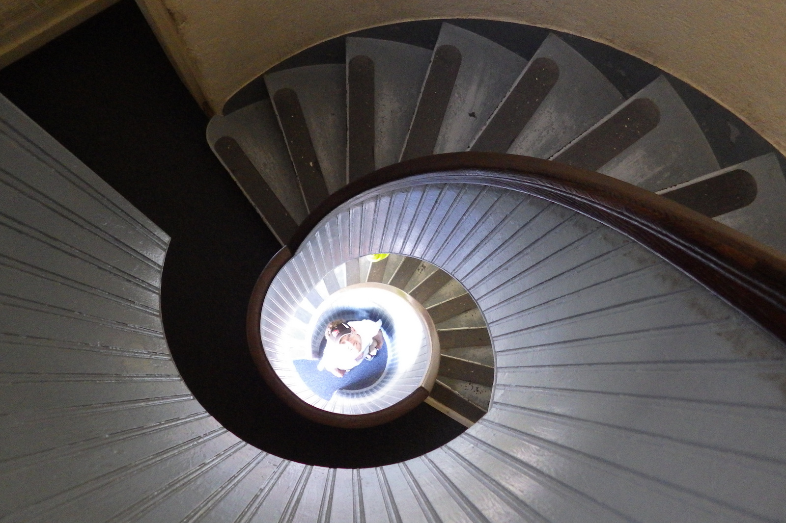
Old Point Loma Lighthouse was built in 1854, but due to that famous California coastal fog it was retired from service in 1891.  Climb its circular stairs for a unique photo that looks like the inside of a seashell.

Peak Season

Year round, but less likely to be foggy in the winter.

Hours

https://www.nps.gov/cabr/planyourvisit/hours.htm

Fees

$20 per vehicle or America The Beautiful pass

Road Conditions

All roads paved

Camping

Mission Trails Regional Park off Highway 52 and other private campgrounds are located nearby.

Explore More – You would expect that Spain purchased the statue of Cabrillo, but which country actually did?

Sequoia National Park

Sequoia National Park

California

Managed by National Park Service

Established 1890

404,064 acres

Website: nps.gov/seki

Overview

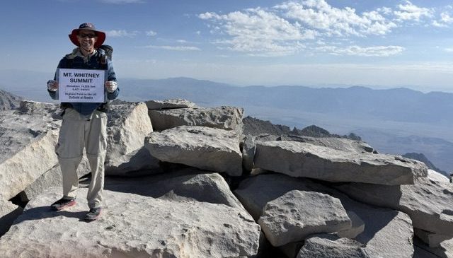
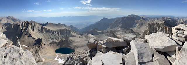
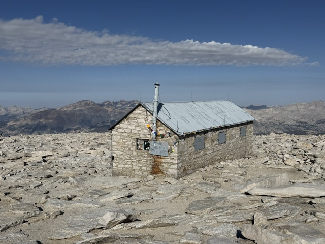
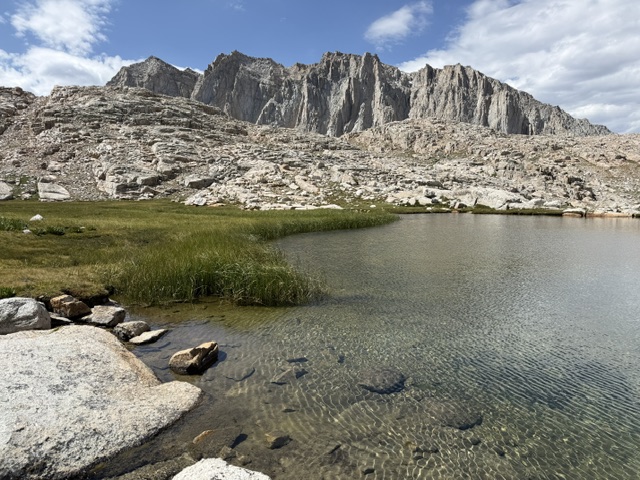
In 1890, Sequoia became the second National Park in the United States in order to protect its famous groves of giant sequoia trees, not to be mistaken for California’s coast redwoods.  The park’s hub in the Giant Forest contains the General Sherman tree, the largest by volume in the world.  Most of the park is in the High Sierra and includes Mt. Whitney, the highest point in the contiguous U.S. at 14,505 feet.  It is comanaged with Kings Canyon National Park.

Know someone who loves National Parks? Gift them our travel guide A Park to Yourself: Finding Solitude in America’s 63 National Parks. 

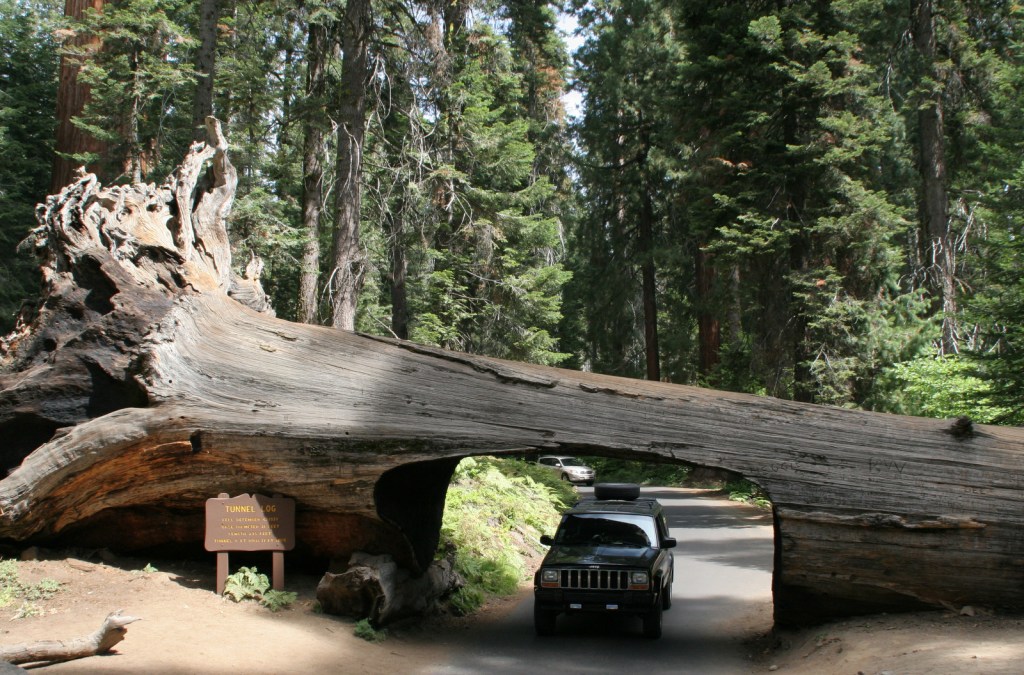
A scenic view of Sequoia and Kings Canyon National Park featuring tall sequoia trees, green foliage, and patches of snow on the ground with a sign in the foreground.

Highlights

General Sherman Tree, Moro Rock, Crystal Cave, Mt. Whitney, John Muir Trail, Pacific Crest National Scenic Trail

Must-Do Activity

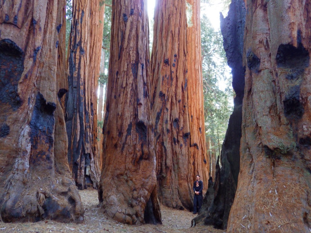
The remarkable giant sequoia tree can live over 2,000 years, reach three hundred feet in height, and grow the largest wood volume of any single-stemmed tree on the planet.  They are only found in 75 protected groves scattered throughout California’s Sierra Nevadas.  Bring your whole family to see how many people it takes arms linked to reach around the base of one of these massive trees.  With circumferences reaching over 100 feet, you are going to need a big family! 

Best Trail

Crescent Trail starts near the General Sherman tree, winds up the hill, and then connects with the Trail of the Sequoias, which passes the dense clusters of the Senate and House Groups.  It is especially nice when there is snow on the ground.

Instagram-worthy Photo

Any time of year is great to visit, but the winter is perhaps the prettiest as the snow contrasts nicely with the orange bark of the giant sequoia trees.

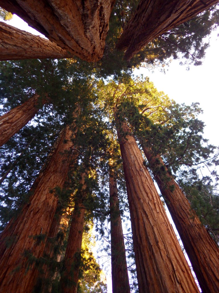
A towering sequoia tree surrounded by smaller evergreen trees in a snow-covered forest.

Peak Season

Summer due to the high elevation

Hours

https://www.nps.gov/seki/planyourvisit/hours.htm

Fees

$35 per vehicle or America The Beautiful pass

Road Conditions

Roads are paved, but steep, winding, and narrow.  The rough Mineral King Road is closed in winter.

Camping

There are several large campgrounds near the Giant Forest, as well as two on the rough road to the remote Mineral King section of the park.  All backcountry camping requires a permit and is on a quota system during the summer.

Related Sites

Yosemite National Park (California)

Giant Sequoia National Monument (California)

Kings Canyon National Park (California)

Logo of Sequoia National Park featuring tall trees and a bear illustration.

This design we created to celebrate Sequoia National Park is available on a variety of products at Cafe Press and Amazon.

Explore More – Why do park rangers recommend you wrap your car with chicken wire when you visit Mineral King?

Book cover of 'A Park to Yourself: Finding Solitude in America's 63 National Parks, Expanded 2nd Edition' by Scott Sink, PhD and Tiff Sink, MPH, featuring a person walking through a narrow canyon.

Know someone who loves National Parks? Gift them our travel guide A Park to Yourself: Finding Solitude in America’s 63 National Parks. 

Pu‘uhonua o Hōnaunau National Historical Park

Overview

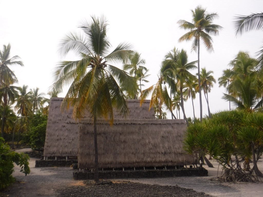
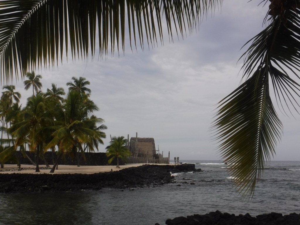
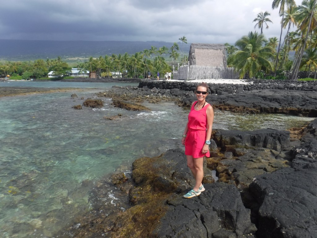
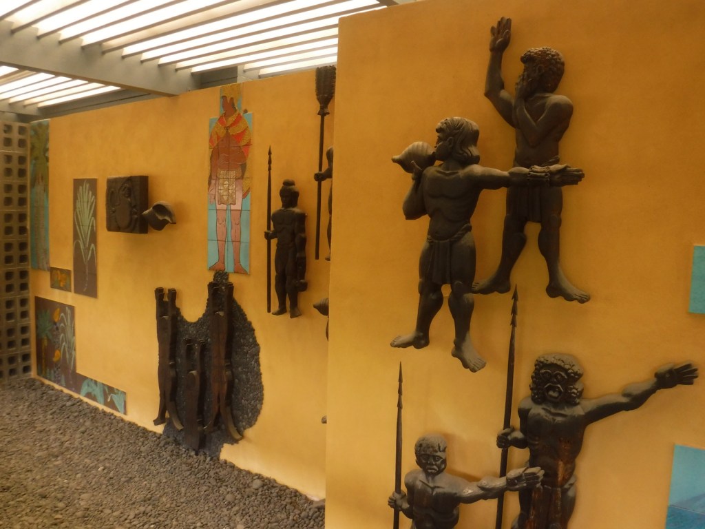
On the dry western side of the Big Island of Hawai‘i, south of the bustling port city Kailua-Kona, Pu‘uhonua o Hōnaunau National Historic Park is home to a reconstructed village that provides a glimpse into the daily life of the indigenous people hundreds of years ago.  The National Park Service (NPS) offers a visitor center, picnic area, and a festival held annually in July.

Highlights

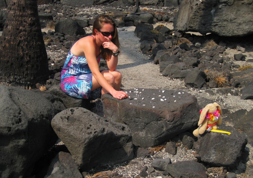
Hale o Keawe temple, kōnane game tables, fish ponds, Ki‘ilae village

Must-Do Activity

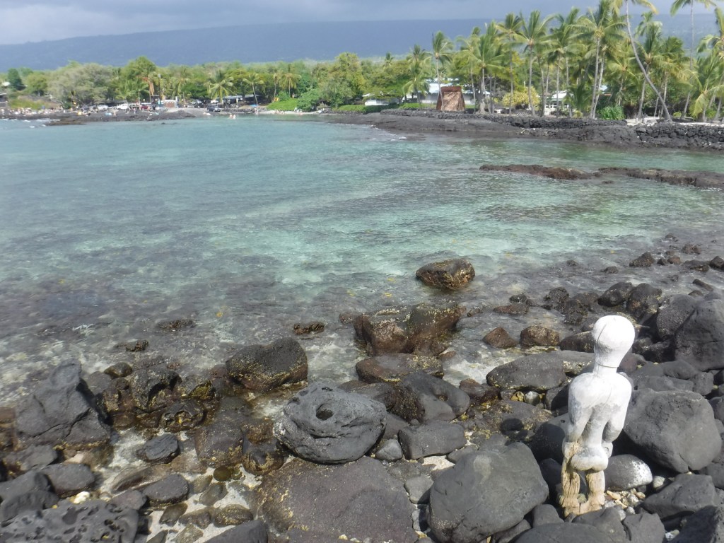
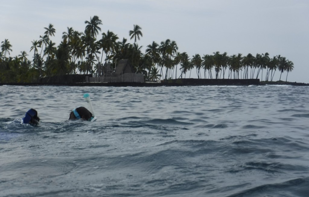
Adjacent to the popular snorkeling area dubbed “Two-Step,” this park sees its share of sea turtles.  Though these green sea turtles nest 800 miles to the northwest in the French Frigate Shoals, the well-known hula dance actually imitates the digging motions of a female turtle laying her eggs.  In the winter, watch for migrating humpback whales that spout and jump just offshore. 

Best Trail

Pu‘uhonua o Hōnaunau was a “place of refuge” for vanquished warriors, noncombatants, and kapu (taboo) breakers to be absolved by a kahuna pule (priest) so they could return home in peace.  It was separated from the Royal Grounds by a 10-foot wall built in AD1550, which can be seen along the Ala Kahakai National Historic Trail that runs through the park to access Ki‘ilae village.

Instagram-worthy Photo

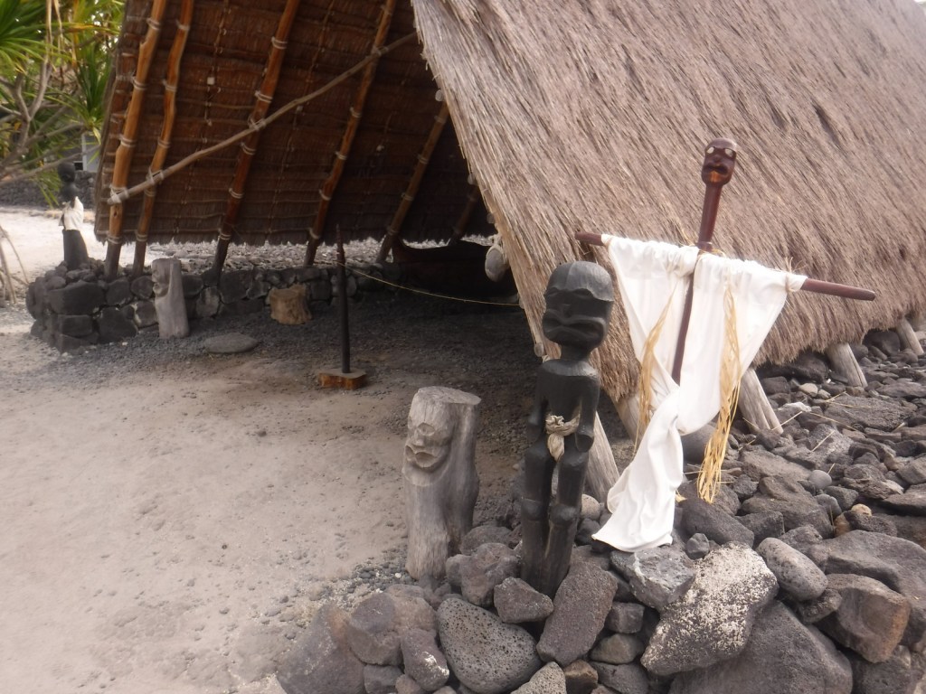
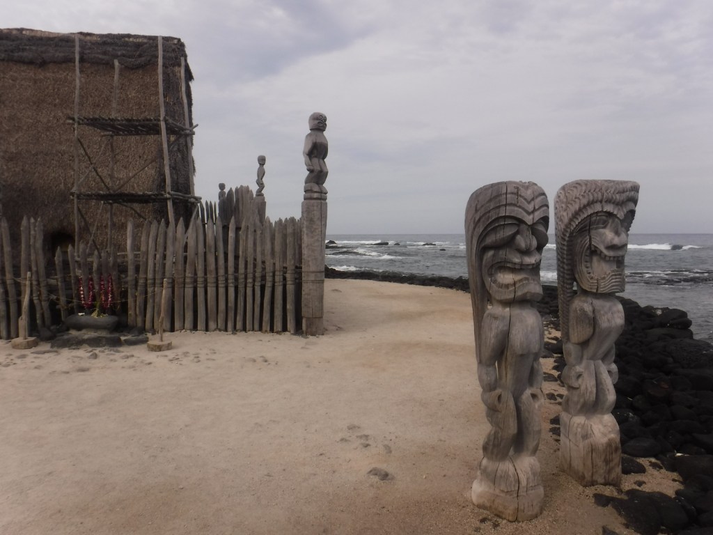
Carved wooden ki‘i are guardians of this place of refuge and stand next to this reconstruction of a temple and mausoleum that held the bones of 23 ali‘i (noble chiefs).  Ho‘okupu (offerings) were placed on the lele (tower) next to them.

Peak Season

The beach makes this spot popular year round

Hours

https://www.nps.gov/puho/planyourvisit/hours.htm

Fees

$15 per vehicle or America The Beautiful pass

Road Conditions

All roads paved

Camping

County and state parks on the leeward west coast of this island are great places to camp and relax under palm trees listening to the waves break.

Related Sites

Kaloko-Honokōhau National Historical Park (Hawai’i)

Pu‘ukoholā Heiau National Historic Site (Hawai’i)

Haleakalā National Park (Hawai’i)

Explore More – What was the most severe punishment for breaking a kapu (taboo), such as letting your shadow fall on Royal Grounds?