Tag Archives: 4×4

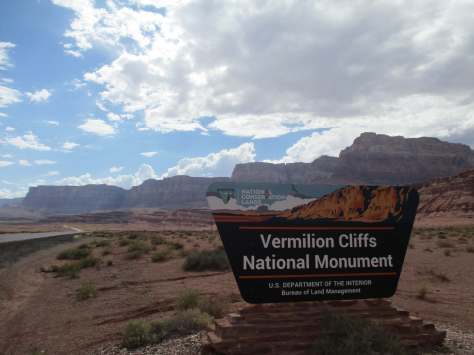
Vermilion Cliffs National Monument

Vermilion Cliffs National Monument

Arizona

Managed by Bureau of Land Management

Established 2000

279,566 acres

Website: https://www.blm.gov/national-conservation-lands/arizona/vermilion-cliffs

Overview

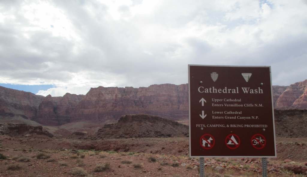
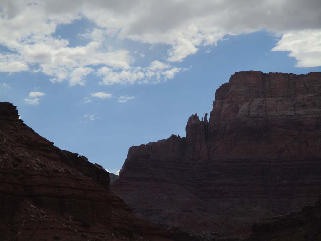
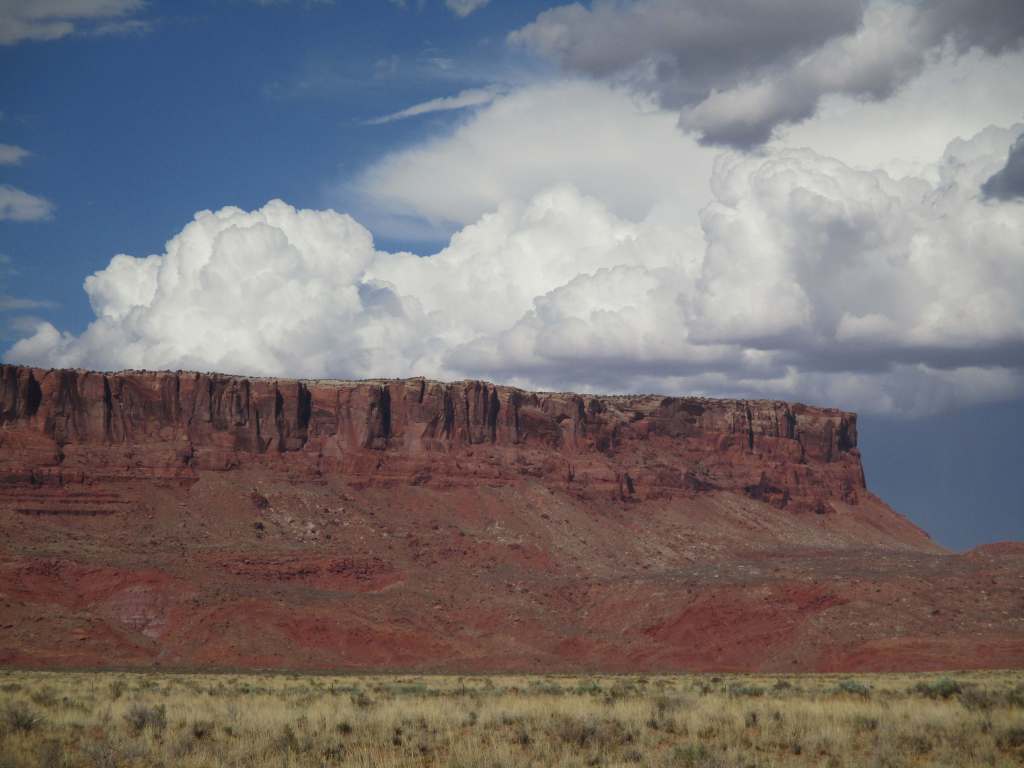
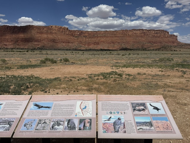
The Vermilion Cliffs are a red sandstone escarpment that rises 3,000 feet above the plains north of Arizona’s Grand Canyon (and they especially glow vermilion at sunrise and sunset).  This undeveloped geologic wonderland is a colorful mixture of sandstone, siltstone, limestone, and shale.  The cliffs create thermals perfect for 20 species of raptors, including bald eagles, golden eagles, peregrine falcons, and endangered California condors that were first reintroduced here in 1996.   

Highlights

Coyote Buttes North (The Wave), Maze Rock Art Site, White Pocket, Paria River Canyon

Must-Do Activity

There are several visitor centers to get information about the National Monument, including at Navajo Bridge on Highway 89A and the seasonal Paria Contact Station off Highway 89, as well as Bureau of Land Management (BLM) offices in Utah at Kanab, St. George, and Big Water.  Guided tours are available to White Pocket (no permit required) if you do not want the challenge of driving the sandy roads.

Best Trail

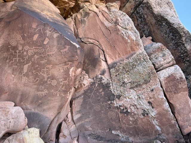
It is a 1.4-mile roundtrip hike to the petroglyphs at the Maze Rock Art Site off House Rock Valley Road that may be more than 1,000 years old.  Backpacking 38-mile-long Paria Canyon is a world-famous route that ends at Lees Ferry in Glen Canyon National Recreation Area.  Permits are required to overnight, and most thru-hikers set out from White House Trailhead within Utah’s Grand Staircase–Escalante National Monument to avoid the slot canyons on Wire Pass Trail or Buckskin Gulch Trail (which often has waist deep mud).

Photographic Opportunity

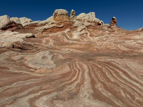
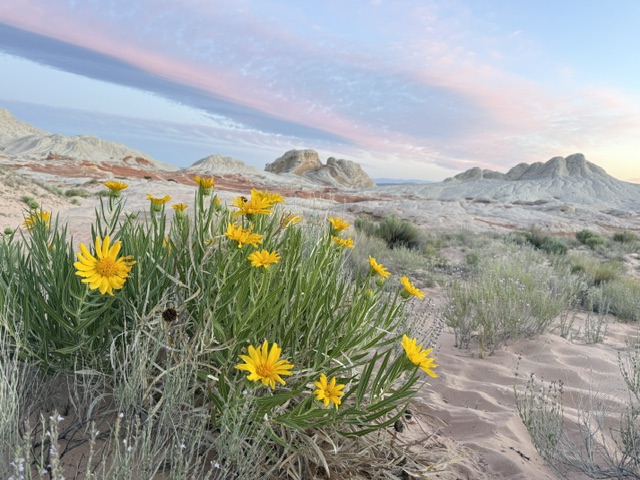
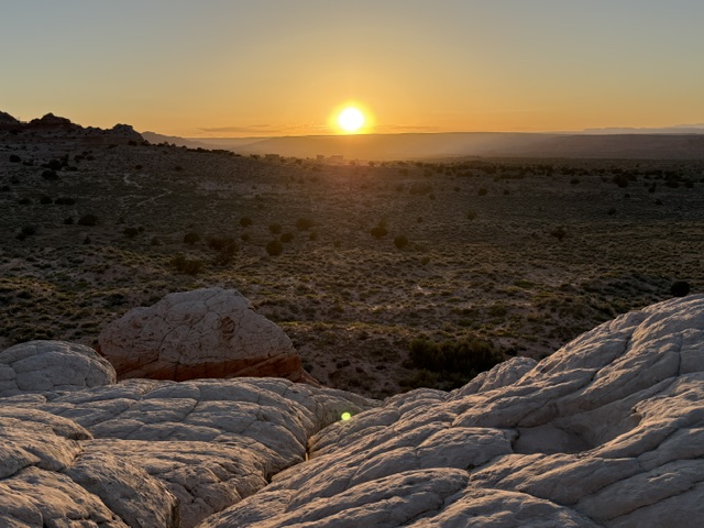
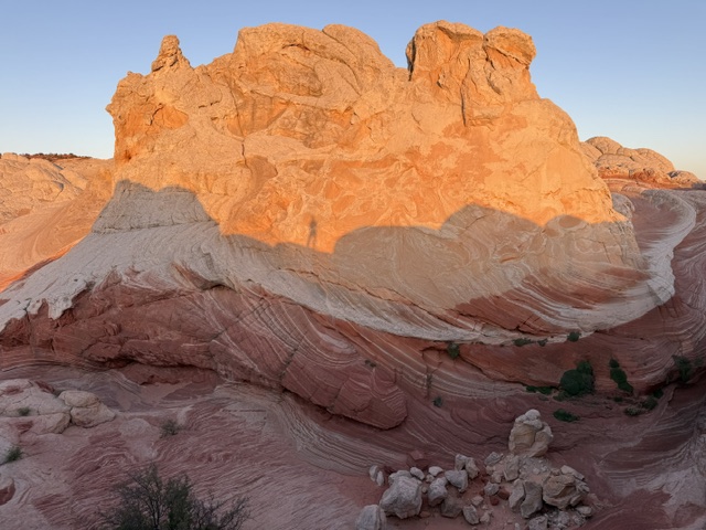
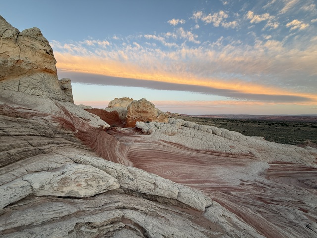
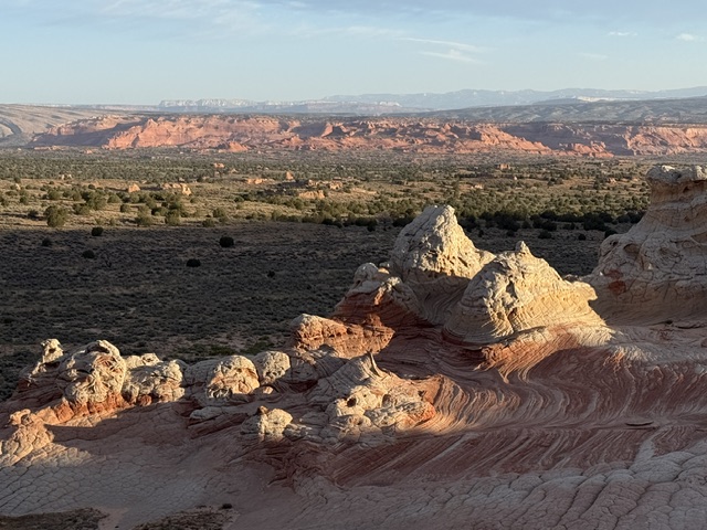
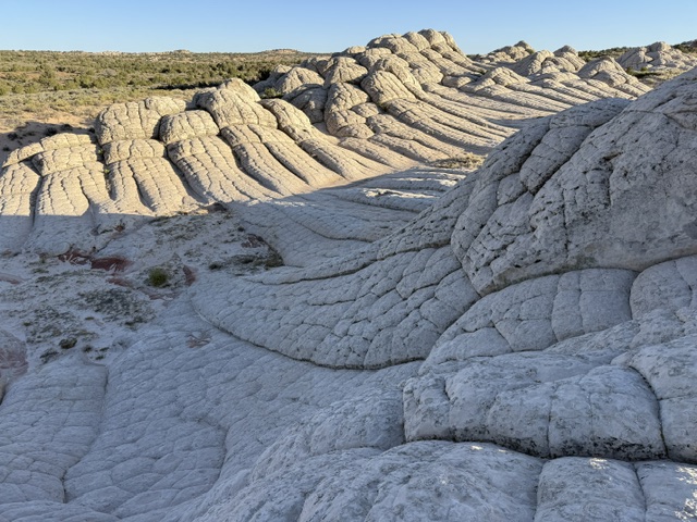
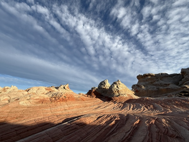
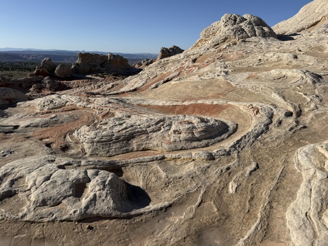
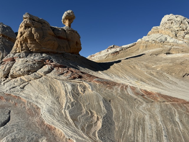
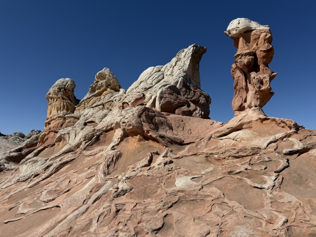
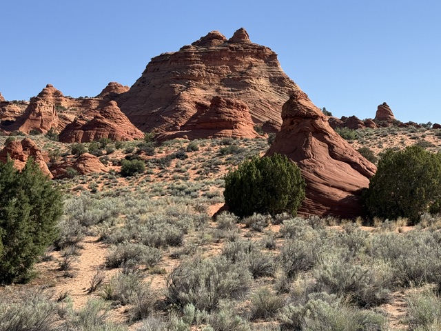
Coyote Buttes North (The Wave) is one of the most sought-after photography locations in the U.S., but most of us will never win that lottery.  Here is a similarly beautiful sandstone formation in White Pocket, which is open to visit by anyone with a 4×4 that can get through miles of deep sand (or hire a guide to drive).

Peak Season

Spring and fall

Hours

https://www.blm.gov/visit/kanab-visitor-center

Fees

No entrance fee, but a $9 online lottery entry and $7 permits for each person and dog apply for Coyote Buttes North (The Wave), they cost slightly less for Coyote Buttes South and Paria River Canyon

Road Conditions

House Rock Valley Road (BLM 700) runs 30 miles between Highways 89 and 89A to the south, crossing several washes, but it is passable with a passenger vehicle when dry.  Most of the roads running east from House Rock Valley Road require four-wheel drive due to deep sand (including access to White Pocket).

Camping

Dispersed camping is allowed in most of Vermilion Cliffs National Monument, and the BLM runs the free Stateline Campground (that is the official northern terminus of the Arizona National Scenic Trail) on the northern border and White House Campground (fee) in Utah. 

Related Sites

Grand Staircase–Escalante National Monument (Utah)

Kaibab National Forest (Arizona)

Pipe Spring National Monument (Arizona)

Baaj Nwaavjo I’tah Kukveni – Ancestral Footprints of the Grand Canyon National Monument (Arizona)

Nearest National Park

Grand Canyon

Explore More – The Vermilion Cliffs are called as Angkar Mukwanikant in what indigenous language?

Berryessa Snow Mountain National Monument

Berryessa Snow Mountain National Monument

California

Managed by U.S. Forest Service and Bureau of Land Management

Established 2015

344,476 acres

Website: https://www.blm.gov/programs/national-conservation-lands/california/berryessa-snow-mountain-national-monument

Overview

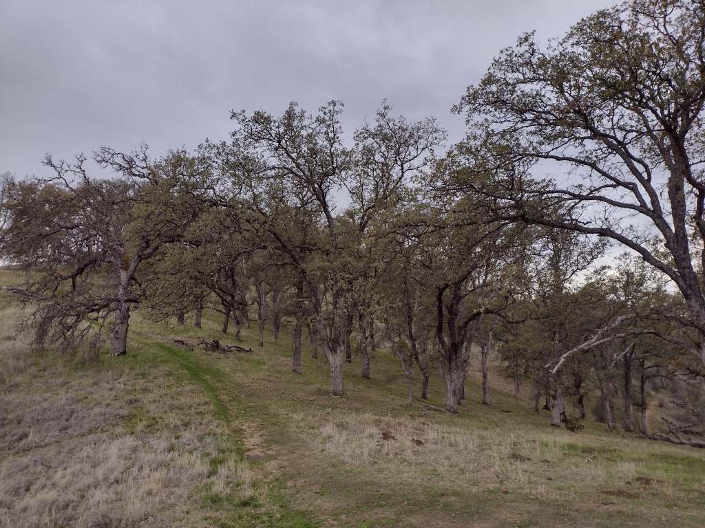
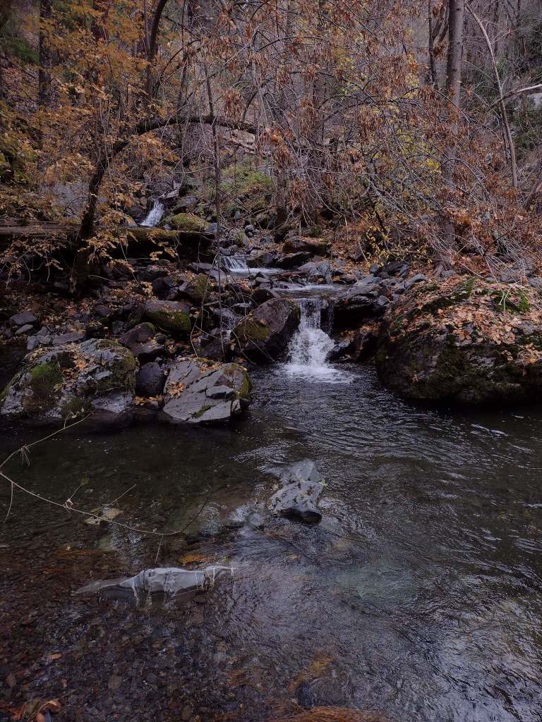
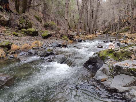
North of the San Francisco Bay and west of Interstate 5, flat-topped 7,056-foot Snow Mountain sheds water into the Berryessa Valley and the Sacramento River.  High elevations are dominated by conifers, while below there are oak-studded hillsides, canyons full of riparian trees, and rocky serpentine ridgelines where only specially adapted plants can tolerate the heavy metals in the soil.  In 2024, the 13,696-acre Molok Luyuk (“Condor Ridge” in the Patwin language) was added to the National Monument since it contains evidence of human occupation dating back more than 10,000 years.

Know someone who loves exploring new National Monuments? Gift them our book Monumental America: Your Guide to All 138 National Monuments that is available for sale on Amazon.com.
Highlights

Cache Creek Wilderness, Knoxville Recreation Area, Nye Cabin, Prather Mill, Deafy Glade Trail, Redbud Trail

Must-Do Activity

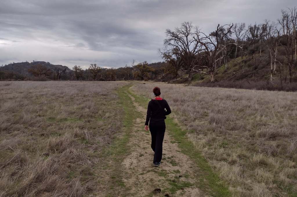
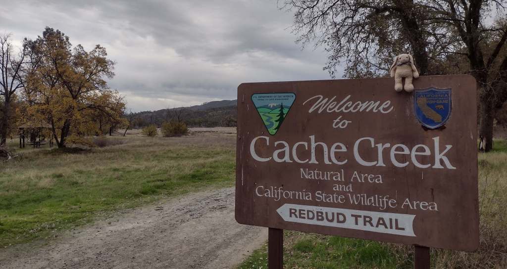
In the portion of the National Monument run by the Bureau of Land Management, Cache Creek Wilderness is one of the main attractions for whitewater rafting and backpacking.  Redbud and Judge Davis Trailheads off paved Highway 20 provide the easiest access for hikers.  Further south, Knoxville Recreation Area encompasses rugged terrain for exploration with off-highway vehicles (OHVs).  The northern portion of Berryessa Snow Mountain National Monument within Mendocino National Forest has a network of dirt roads that are also popular with OHV riders.  In the far north, Hull Mountain is utilized by hang gliders.

Best Trail

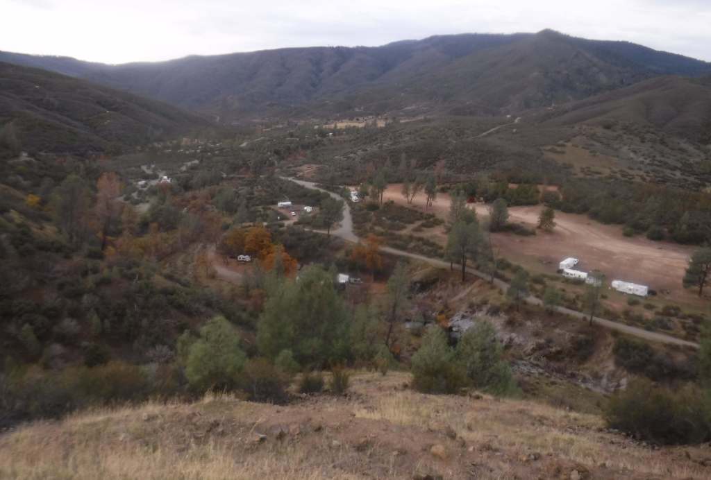
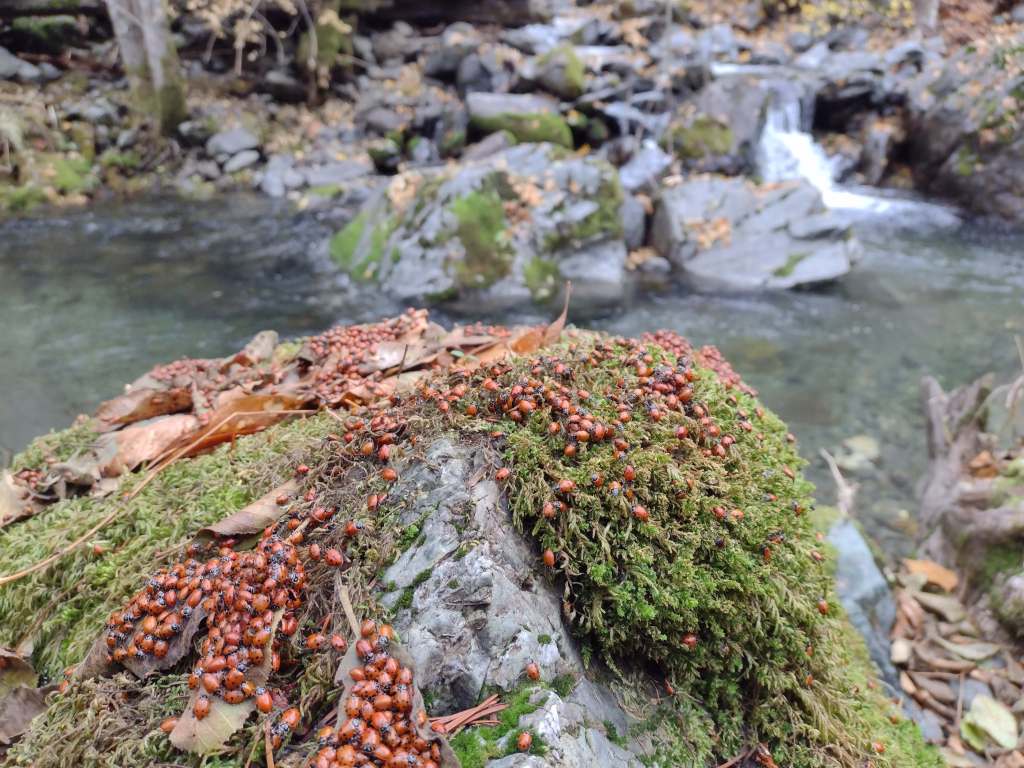
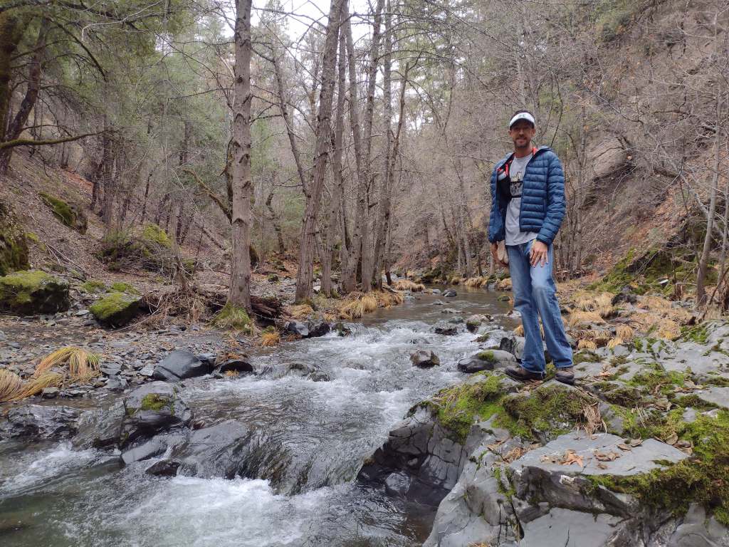
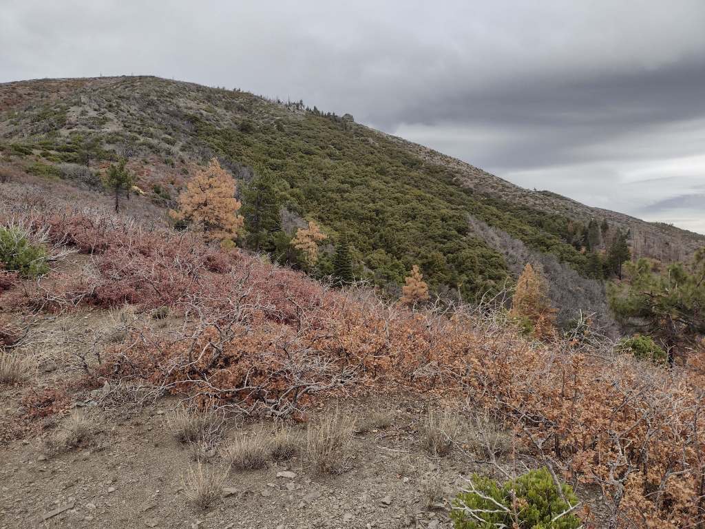
In Mendocino National Forest, Deafy Glade Trail starts at a tiny roadside pullout along Fouts Springs Road where campgrounds were full of RVs getting ready for a motorcycle event.  Our hike took us far from any road noise, past congregations of lady bugs that numbered in the hundreds as we waded across the frigid South Fork of Stony Creek and climbed steeply to the boundary of the 60,076-acre Snow Mountain Wilderness.  The trail continues to climb 4,300 feet total to the summit over the course of eight miles.  It is half that length with only 2,000 feet of elevation gain from the west via Summit Trail, although the last 1.5 miles of the access road may be impassable to vehicles.

Photographic Opportunity

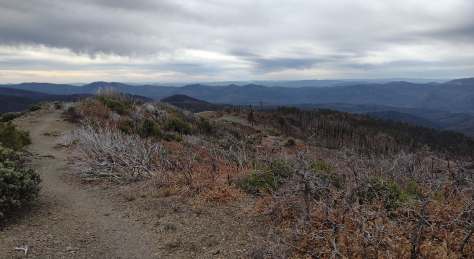
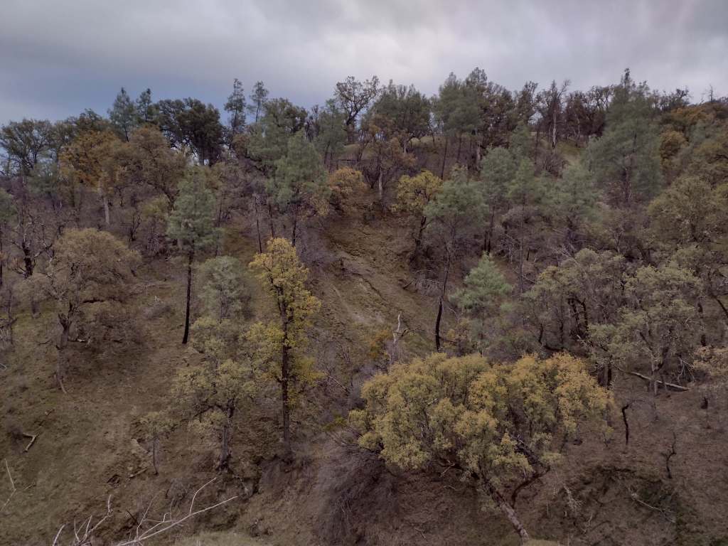
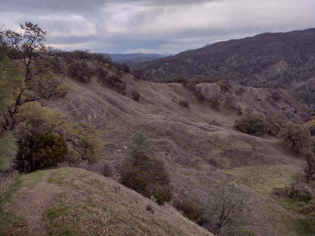
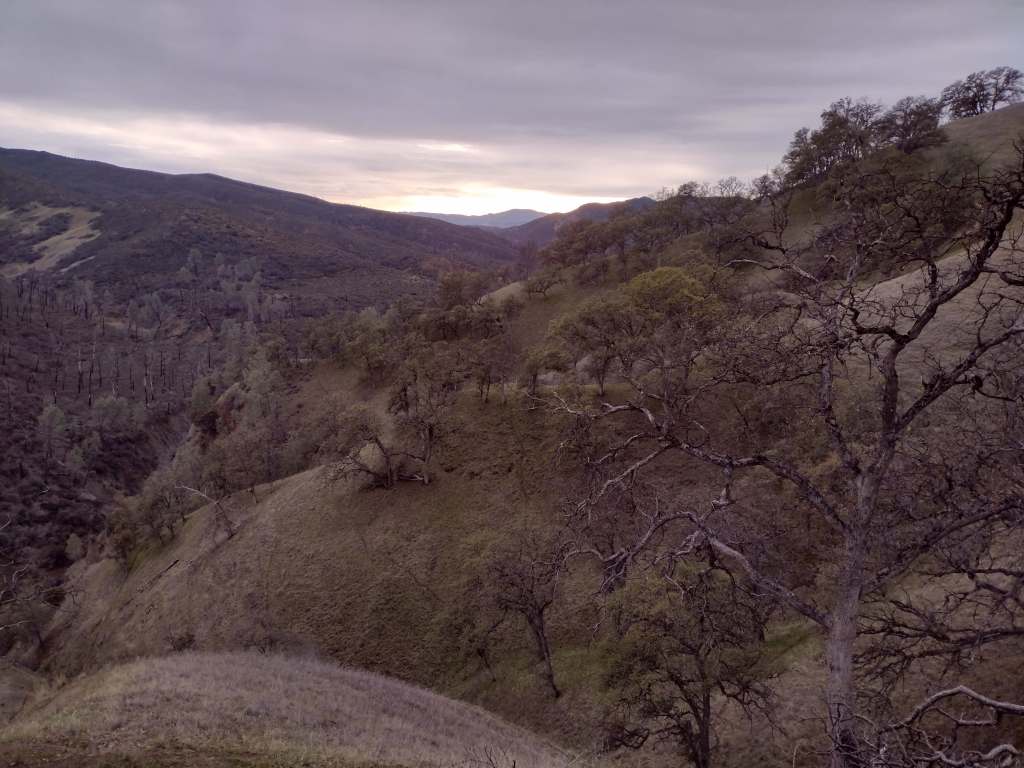
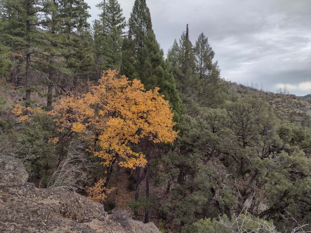
From our turnaround spot on Deafy Glade Trail we got great views of the Rice Valley. 

Peak Season

Spring

Fees

None

Road Conditions

Fouts Springs Road (Forest Road M10) is a well-maintained gravel road that crosses the National Forest west of Stonyford.  That area is popular with OHVs, so keep an eye out for them.  Further south, Highway 20 is a paved route to trailheads in Berryessa Snow Mountain National Monument, but four-wheel-drive may be required to access Buck Island Campground.  The new Molok Luyuk section northeast of Clear Lake is reached by the gravel Walker Ridge Road that requires a high-clearance vehicle.

Camping

Mendocino National Forest manages Bear Creek Campground and Lower Nye Dispersed Campground, plus numerous others outside the National Monument boundaries.  There are several campgrounds on Lake Berryessa, in addition to the ones at Clear Lake State Park and Cache Creek Canyon Regional Park.

Related Sites

Whiskeytown National Recreation Area (California)

Eldorado National Forest (California)

Muir Woods National Monument (California)

Nearest National Park
Lassen Volcanic

Explore More – How did the Berryessa Valley get its name?

Learn more about the other 137 National Monuments in our book Monumental America: Your Guide to All 138 National Monuments
Death Valley National Park

Overview

Death Valley is our favorite of the 9 National Parks in California.  Ghost towns and abandoned mills abound throughout its 3.4-million acres, including Leadfield on the one-way dirt road through Titus Canyon.  Most of the attractions are found in and around the historic Furnace Creek Inn: watch sunrise at Zabriskie Point or sunset at 5,475-foot Dantes View; hike through gorgeous Golden Canyon or under Natural Bridge; drive to the ironic Devils Golf Course or the colorful Artists Drive; and walk into Badwater Basin, which at -282 feet below-sea-level is the lowest point in North America, even more impressive since it sits directly beneath 11,049-foot Telescope Peak. 

Highlights

Badwater Basin, Zabriskie Point, Golden Canyon Trail, Devils Golf Course, Artists Drive, Salt Creek Interpretive Trail, Titus Canyon, Telescope Peak, sand dunes

Must-Do Activity

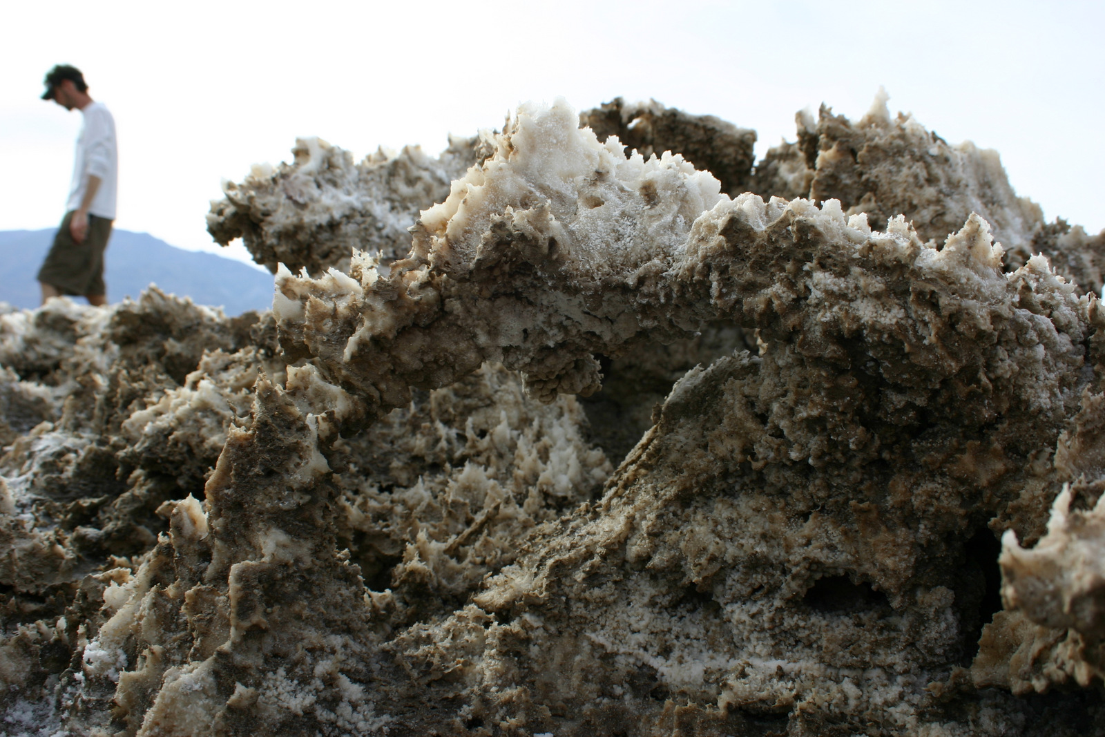
Death Valley averages less than 2 inches of precipitation annually, yet less than 10,000 years ago Badwater Basin was the bottom of a massive inland lake, the remnants of which be found along Salt Creek Interpretive Trail.  Here tiny desert pupfish survive in the salty, hot water. The related and endangered Devils Hole pupfish can be seen at a disconnected part of Death Valley National Park surrounded by Nevada’s Ash Meadows National Wildlife Refuge.

Best Trail

There are great trails throughout this park, but we prefer walking wherever we want on the many sand dunes.  The best are the Panamint Dunes; tucked on a mountain slope they require a three mile hike to reach.   That means when you drop your sleeping bag on top you will likely have the place to yourself.  More centrally located are the popular Mesquite Flat Sand Dunes.  In the northern section of the park the steep Eureka Dunes have a free primitive campground at their base.

Instagram-worthy Photo

A dry, flat lakebed in the northwestern corner of the park provides a racetrack for rocks of all shapes and sizes.  High winds and ice crystals are the key to their movement, which is clearly shown in their wake.  Do not let the 26 mile dirt road stop you from visiting this spectacular site.  It is passable by most vehicles when the road is dry (we drove our mini-van there)and when the Racetrack is wet you should refrain from walking on it anyway. 

Peak Season

Spring and fall, with summer’s being incredibly hot except at the highest elevations.  However, it can snow just about any month of the year.

Hours

https://www.nps.gov/deva/planyourvisit/hours.htm

Fees

$30 per vehicle or America the Beautiful pass

Road Conditions

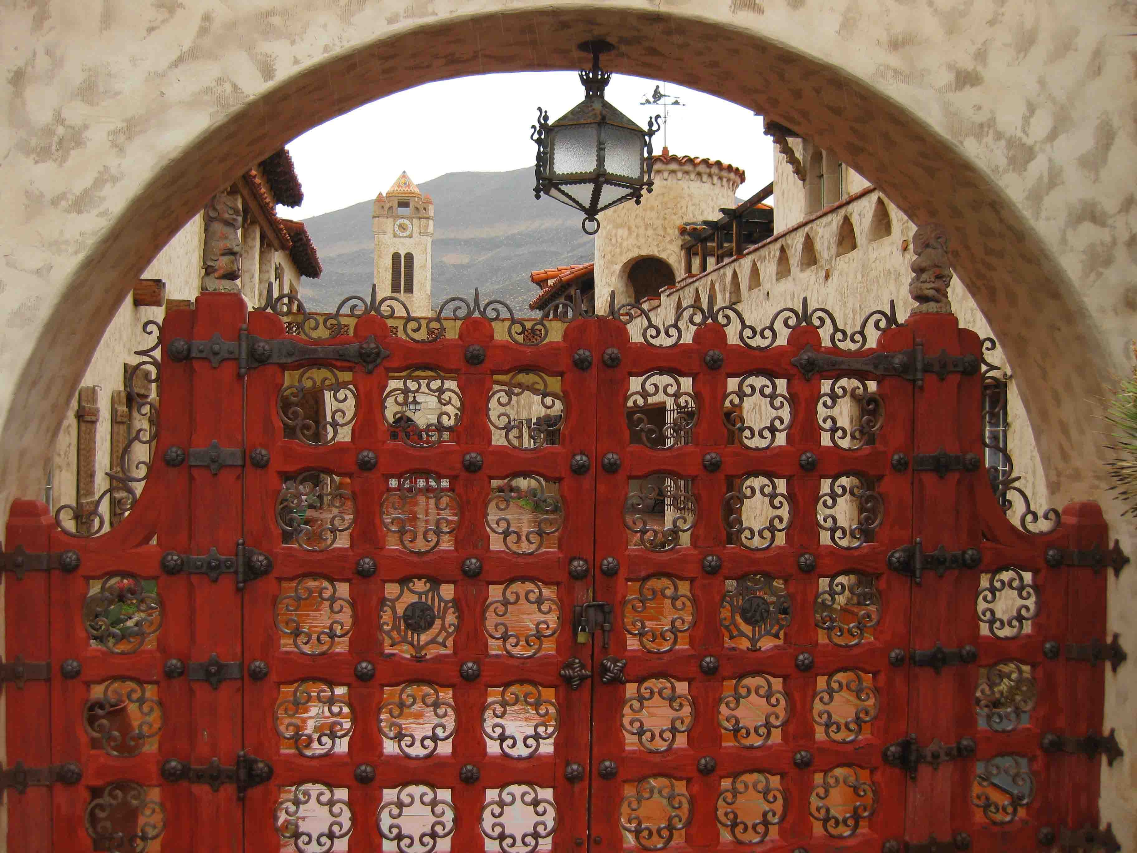
The main roads are paved, but to really enjoy the park you should drive a high-clearance vehicle (rental 4x4s are available near Furnace Creek).  As of December 2018, Scotty’s Castle is still inaccessible due to flood damage on the road.

Camping

There are campgrounds, but a unique aspect of this National Park is that you can disperse camp for free along many of its dirt roads.  Backcountry camping is also free and does not require a permit.


This design we created to celebrate Death Valley National Park is available on a variety of products at Cafe Press and Amazon.

Explore More – What is the connection between Death Valley, 20 Mule Team Borax, and Stephen Mather (who in 1916 became the first Director of the National Park Service)?

1WonsTiny2

WONDON WAS HERE …TWICE …THRICE …FORCE? …FIF!

We are a participant in the Amazon Services LLC Associates Program, an affiliate advertising program designed to provide a means for us to earn fees by linking to Amazon.com and affiliated sites.