Tag Archives: birding

Cache National Forest

Cache National Forest

Utah, Idaho

Managed by U.S. Forest Service, Intermountain Region

1,216,778 acres (701,652 federal/ 515,126 other)

Website: https://www.fs.usda.gov/uwcnf

Overview

Cache National Forest surrounds Logan, Utah on three sides covering the Bear River Range and Wellsville Mountains, which are considered to have the steepest grade in the entire nation.  Since August 2007, Cache National Forest is officially part of the massive Uinta-Wasatch-Cache National Forest that sprawls across northeastern Utah.  To add to the bureaucratic confusion, the 263,940 acres of Cache National Forest in Idaho have been administered since 1973 by Caribou National Forest (see our next blog post).  When you subtract that land area, it only includes 437,712 acres of federal land, making it one of the smallest National Forests in the western U.S.

Highlights

Logan Canyon Scenic Byway, Wind Cave, Jardine Juniper, Tea Pot Rock, Old Limber Pine Nature Trail, Ogden River Scenic Byway, Pineview Reservoir, Tony Grove Lake Campground, Causey Reservoir, Wellsville Mountains, Naomi Peak National Recreation Trail

Must-Do Activity

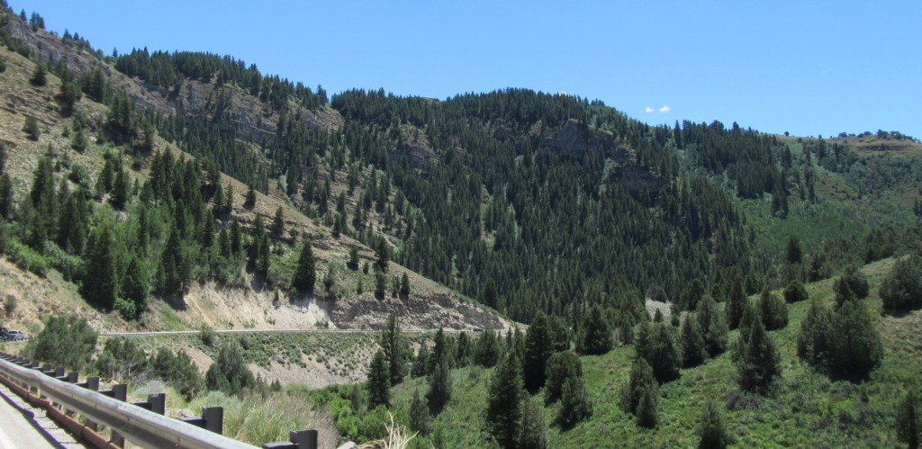
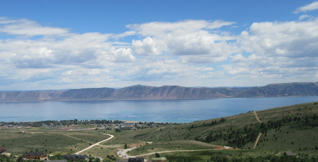
Logan Canyon Scenic Byway follows Highway 89 and the beautiful Logan River up to a pass with views of Bear Lake, a naturally-formed body of water that gets its turquoise color from suspended limestone sediment (earning it’s the nickname “Caribbean of the Rockies”).  Logan Canyon is especially busy in the fall when the leaves change on quaking aspens and three species of maples: boxelder, canyon/bigtooth maple, and Rocky Mountain maple. 

Best Trail

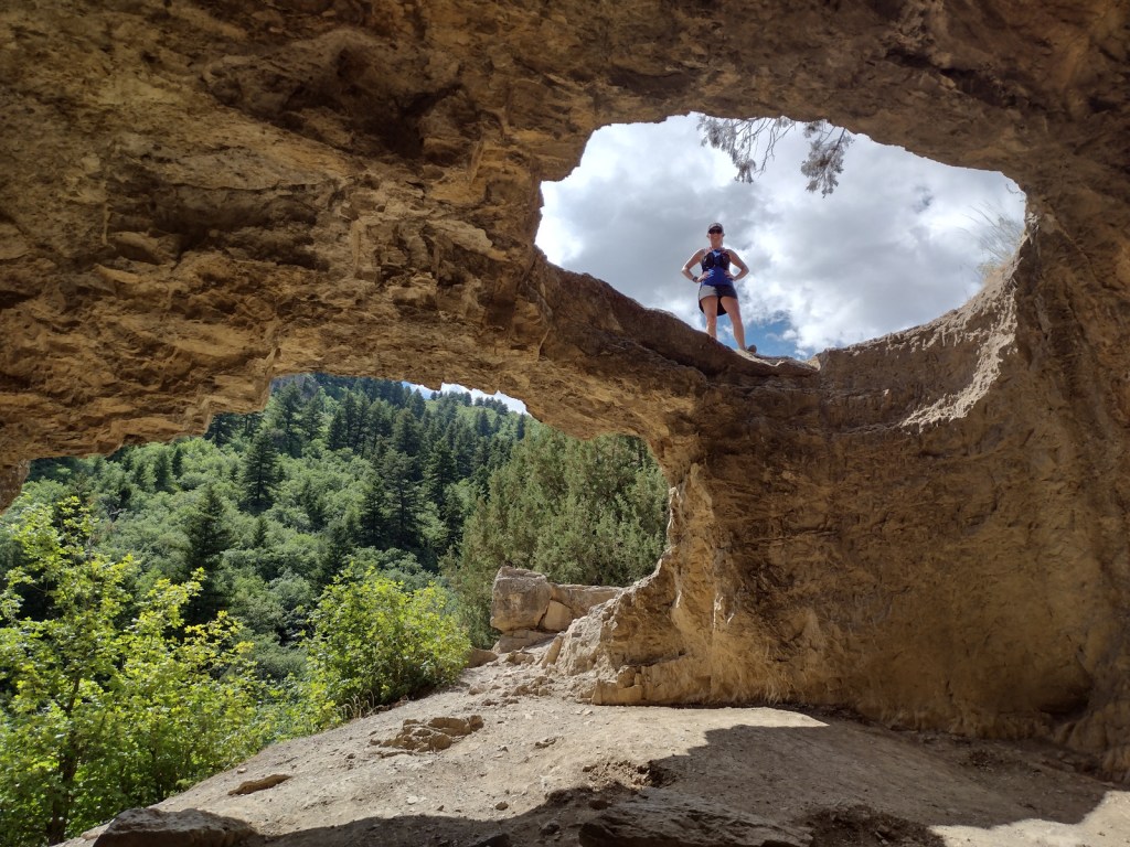
Logan Canyon has two popular, but steep trails that lead to Wind Cave and the Old Jardine Juniper, the world’s largest Rocky Mountain juniper estimated to be at least 3,000 years old.  The 3.6-mile out-and-back trail to Wind Cave starts from a roadside pullout across from Guinavah-Malibu Campground and gains more than 900 feet in elevation.  Hiking to the Old Jardine Juniper requires a climb of over 2,100 feet along the five-mile one-way trail, which continues further into the Mt. Naomi Wilderness.

Watchable Wildlife

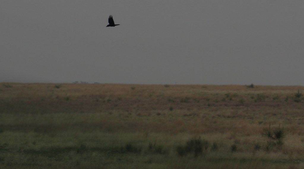
Trout fishing is a popular activity due to all of the rivers and streams in Cache National Forest.  Large mammalian species include elk, mule deer, pronghorns, and black bears.  Watch the skies above Logan Canyon for ravens and a variety of birds of prey.

Instagram-worthy Photo

The limestone arches of Wind Cave originally formed underground then were exposed when the Logan River cut its steep canyon.

Peak Season

Summer

Fees

None

Road Conditions

Logan Canyon (Highway 89) and Ogden River (Highway 39) Scenic Byways are both paved.  We did not drive any unpaved roads, but we did notice that the dirt roads around Bear Lake Summit (on Highway 89) looked very rutted and four-wheel-drive only.

Camping

There are numerous campgrounds along both the Logan Canyon and Ogden River Scenic Byways.  We did not notice any dispersed campsites in these areas, although there probably are some options in more remote portions of the National Forest.

Wilderness Areas

Mt. Naomi Wilderness

Wellsville Mountain Wilderness

Related Sites

Golden Spike National Historical Park (Utah)

Timpanogos Cave National Monument (Utah)

Wasatch National Forest (Utah-Wyoming)

Nearest National Park

Grand Teton (Wyoming)

Conifer Tree Species

Rocky Mountain juniper, Utah juniper, limber pine, whitebark pine, ponderosa pine, lodgepole pine, Engelmann spruce, subalpine fir, white fir, Douglas-fir

Flowering Tree Species

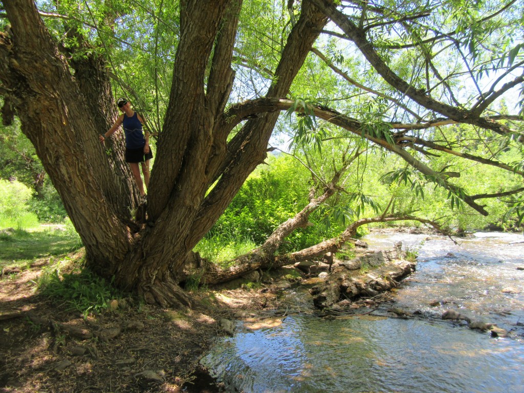
quaking aspen, river birch, boxelder, canyon/bigtooth maple, Rocky Mountain maple, Bebb willow, blue elderberry, chokecherry, curlleaf mountain-mahogany, sagebrush

Explore More – In what year did the Cache Valley host the second-ever rendezvous of fur-trapping mountain men?

Learn more about Cache and the 154 other National Forests in our new guidebook Out in the Woods

We are a participant in the Amazon Services LLC Associates Program, an affiliate advertising program designed to provide a means for us to earn fees by linking to Amazon.com and affiliated sites.

Palo Alto Battlefield National Historical Park

Overview

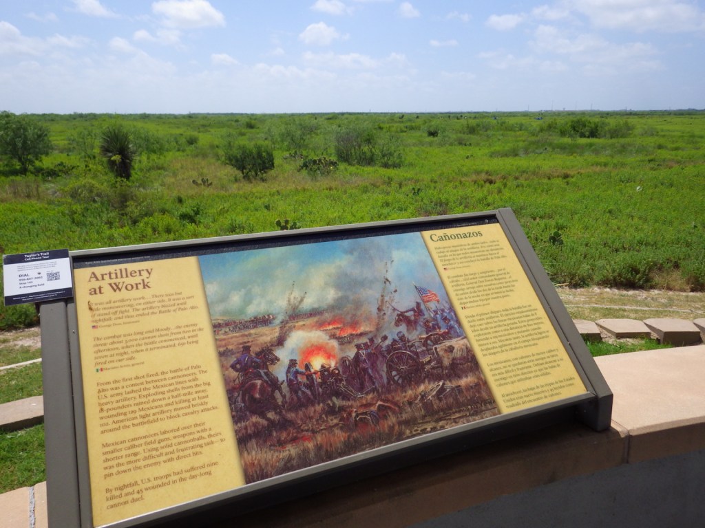
The first battle of the Mexican-American War took place on May 9, 1846 north of the Rio Grande near present-day Brownsville, Texas.  General Zachary Taylor and a young Ulysses S. Grant (both future presidents) led U.S. troops during this engagement.  Palo Alto Battlefield National Historical Park was established in 1991 across 3,400 acres, and in 2011 an additional 38 acres were added in the heart of Brownsville to commemorate the Resaca de la Palma Battlefield.  Plus, a few earthen mounds remain of Fort Texas (later renamed Fort Brown) near a golf course on the campus of the University of Texas at Brownsville.

Highlights

Museum, film, cannons, interpretive trail

Must-Do Activity

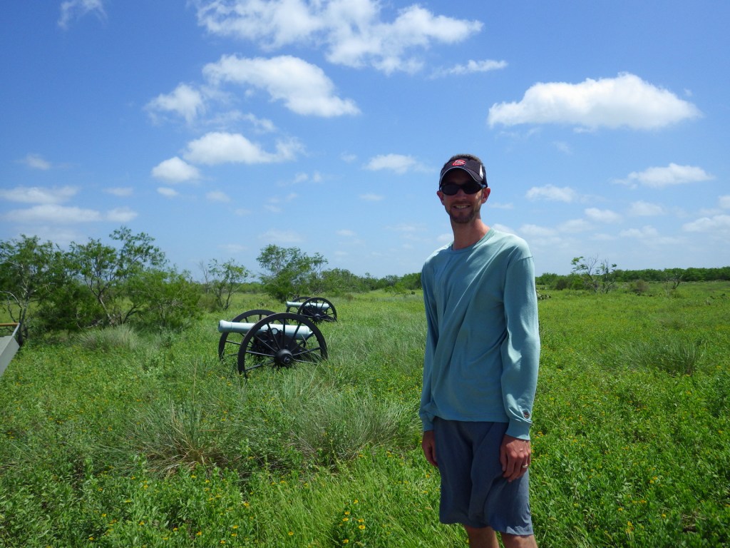
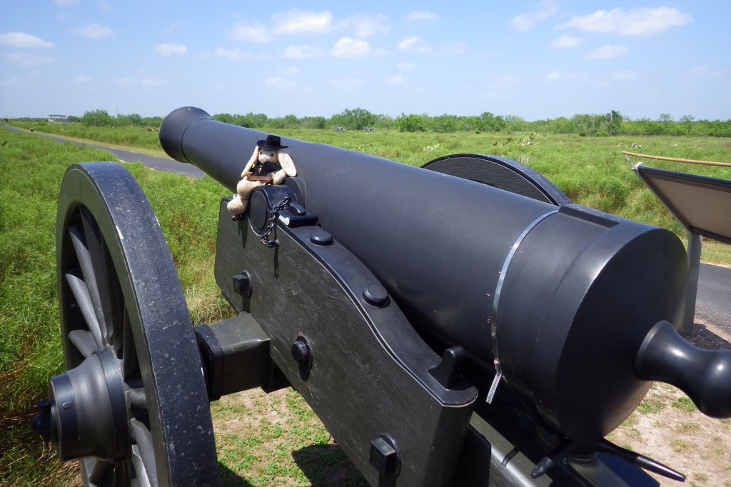
The 1846 battle was primarily an artillery conflict, so there are many cannons at Palo Alto Battlefield National Historical Park today showing how close the battle lines were.  This skirmish and a subsequent fight at Resaca de la Palma pushed Mexican troops back across the Rio Grande for the remainder of the two-year long war.  History buffs will also be interested in the Civil War history of this region, including the final battle of the war fought May 12-13, 1865 at Palmito Ranch.  Information about all of these sites can be found at the small yet nice visitor center that opened here in 2003. 

Best Trail

A half-mile paved interpretive trail leads through the battlefield from the visitor center.  While here you can also learn about Harris’s hawks, horned lizards, javelinas, and other remarkable species that live in the area and the surrounding Laguna Atascosa National Wildlife Refuge.

Instagram-worthy Photo

If you make it to this remote southern corner of the United States, make it a point to take a guided tram tour through Resaca de la Palma State Park.  The park is a great place to see bird species found nowhere else in the country, like the great kiskadee (pictured) and rose-throated becard.

Peak Season

Spring and fall

Hours

https://www.nps.gov/paal/planyourvisit/hours.htm

Fees

None for the NPS site, but there is an admission fee at Resaca de la Palma State Park.

Road Conditions

All roads paved

Camping

There are several private campgrounds around Brownsville, Texas.

Related Sites

Chamizal National Memorial (Texas)

Big Bend National Park (Texas)

Amistad National Recreation Area (Texas)

Explore More – Who was the president that campaigned on the platform of extending the U.S. border to the Pacific Ocean and subsequently annexed Texas in 1845 (fomenting the Mexican-American War)?

Cape Cod National Seashore

Overview

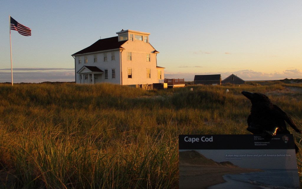
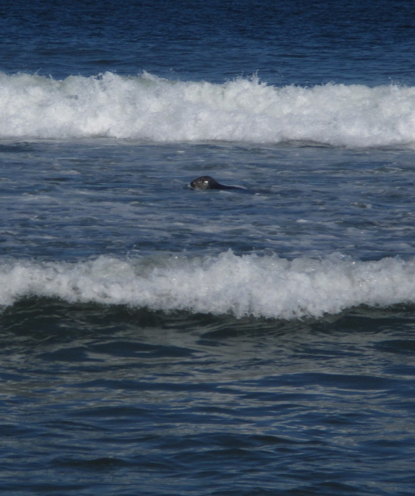
Northernmost of the ten National Seashores in the National Park Service (NPS) system, Cape Cod National Seashore includes 40 miles of shoreline on the narrow glacial deposit that sticks out of Massachusetts like a fishhook.  Its 44,000 acres are interspersed with towns that manage (and charge for) many of the beaches along the coastline.  Watch for gray seals playing in the surf, which attract predators like great white sharks to the shallows.  Even if you want to swim in the chilly ocean water, if you see gray seals it is best to go somewhere else so you are not confused with food.

Highlights

Nauset Light, Three Sisters Lighthouses, Old Harbor Life-Saving Station Museum

Must-Do Activity

The best place to start your visit is Salt Pond Visitor Center, which has a museum run by the NPS.  Located right off Highway 6, it is also a great place to stretch your legs on the Buttonbush or Nauset Marsh Trails.  From there, it is a short drive to Coast Guard or Nauset Light Beaches that offer tram service when parking lots are full.  Lifeguards are on duty at specific beaches from late June through Labor Day, which should give an indication of the short season when it is actually warm enough to enjoy the water.

Best Trail

There are 12 self-guided trails within Cape Cod National Seashore, plus three bicycle trails up to 7.3 miles long.  Our favorite was the one-mile Beech Forest Trail near Race Point Beach at the tip of Cape Cod.

Instagram-worthy Photo

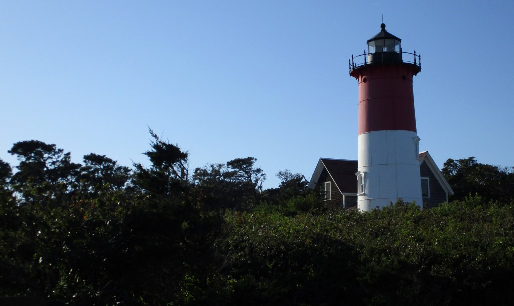
If the red-striped Nauset Light looks familiar that is because you might have seen it on a bag of potato chips at the grocery store.  While there, take a walk over to the Three Sisters Lighthouses that have also been moved inland from their original eroding clifftop locations.

Peak Season

Summer

Hours

https://www.nps.gov/caco/planyourvisit/hours.htm

Fees

$25 per vehicle or America the Beautiful pass

Road Conditions

All roads are paved and a permit from the Oversand Station at Race Point is required for those wishing to drive on designated sand routes.

Camping

No camping is offered through the NPS, but there are several private and state-run campgrounds, plus countless motels and vacation rentals.

Related Sites

Salem Maritime National Historic Site (Massachusetts)

Boston Harbor Islands National Recreation Area (Massachusetts)

Fire Island National Seashore (New York)

Explore More –Who was the famous Italian inventor that transmitted transatlantic radio signals from massive antennas on Cape Cod in the early 1900s?

Cumberland Island National Seashore

Overview

Off the coast of Georgia, Cumberland Island National Seashore was established in 1972 and is only accessible by boat.  While kayaks and private boats are allowed, most visitors arrive by ferry from St. Marys (reservations recommended).  Much of the northern half of the island is designated wilderness with backpacking campsites dispersed near places where freshwater is available for filtration.  Bicycles can be rented once you arrive on the island (they are not allowed on the ferry) and are permitted on the many miles of roads, but not on the trails or beach. 

Highlights

Dungeness Ruins, Ice House Museum, Marsh Boardwalk, First African Baptist Church

Must-Do Activity

While it is fun to spend time beachcombing, what really sets Cumberland Island apart are the trails that cut through the maritime forest of twisty live oak trees.  Watch for feral horses, white-tailed deer, armadillos, turkeys, and other birds along the way.  Alligators can also be seen in the freshwater ponds.  Fossilized shark teeth are commonly found on the island, especially on the roads.  Guided tours in vans can be reserved, which can be a good option on rainy days or if you want to make it to the 1890s African-American settlement at the northern end of the island.

Best Trail

The island has more than 50 miles of trails and you can form loops of varying lengths by walking the beach and the inland Parallel Trail.  The trails are very well packed though sandy, and not as hard to walk on as we imagined.  The only deep sand we encountered was on the designated dune crossings between the beach and the inland forest.

Instagram-worthy Photo

Dungeness is the name of a mansion built by the Carnegie family that burned down in 1959.  It was constructed atop the ruins of a house of the same name previously owned by Revolutionary War General Nathanael Greene.

Peak Season

Summer

Hours

https://www.nps.gov/cuis/planyourvisit/hours.htm

Fees

$10 per person or America the Beautiful pass, plus the charges for ferry tickets and overnight campsites

Road Conditions

Roads are packed sand and heavily rutted, but unless you own property on the island or take the van tour you will not have to worry about their spine-rattling condition.

Camping

Reservations are required for all overnight stays, including at the privately-owned inn.  Sea Camp offers cold showers and potable water a moderately short walk from the ferry dock.  There are numerous backcountry campsites, but all camping is limited to seven days.

Related Sites

Fort Frederica National Monument (Georgia)

Timucuan Ecological and Historic Preserve (Florida)

Cape Lookout National Seashore (North Carolina)

Explore More – Related to American Quarter Horses, Tennessee Walkers, Arabians, and Paso Fino, what is the total population of feral horses living on Cumberland Island?

Padre Island National Seashore

Overview

To experience the natural side of this semitropical region, make a trip to Padre Island National Seashore south of Corpus Christi, Texas.  Unlike touristy South Padre Island, this barrier island offers 65 miles of undeveloped beaches for exploration by foot and 4-wheel-drive vehicles. 

Highlights

Malaquite Beach, Grasslands Nature Trail, Bird Island Basin

Must-Do Activity

This wild island attracts a lot of wildlife, like white-tailed deer, a variety of shorebirds, and, unfortunately, Portuguese man-o-wars.  Keep an eye out for sea turtle patrols that drive up and down the beach all day seeking females laying eggs, including the endangered Kemp’s ridley.  Head further north for more bird watching, as Aransas National Wildlife Refuge typically sees a few overwintering whooping cranes, an extremely rare species.

Best Trail

Take a walk on a boardwalk through the sand dunes on Grasslands Nature Trail to find white-tailed deer and maybe even a crested caracara.  Also look for caracaras along the roadside since they will eat carrion.

Instagram-worthy Photo

On the bay side of the barrier island, you can camp and watch kitesurfers at Bird Island Basin where herons and egrets are a common sight.  We also saw white pelicans in the spring.

Peak Season

Summer

Hours

https://www.nps.gov/pais/planyourvisit/hours.htm

Fees

$20 per vehicle or America The Beautiful pass

Road Conditions

Roads are paved to Malaquite Beach visitor center and from there you can drive most of the beaches with a 4-wheel-drive vehicle. 

Camping

Primitive camping is allowed on the beaches, but there is also a nice campground with water and showers near Malaquite Beach visitor center.  If you cannot find a campsite at Padre Island National Seashore, try up north at Mustang Island State Park.

Explore More – Currents in the Gulf of Mexico bring significant amounts of floating trash to the shoreline; how can you help during your visit?