Tag Archives: lodge

Mt. Hood National Forest

Mt. Hood National Forest

Oregon

Managed by U.S. Forest Service, Pacific Northwest Region

1,117,921 acres (1,071,446 federal/ 46,475 other)

Website: https://www.fs.usda.gov/r06/mthood

Overview

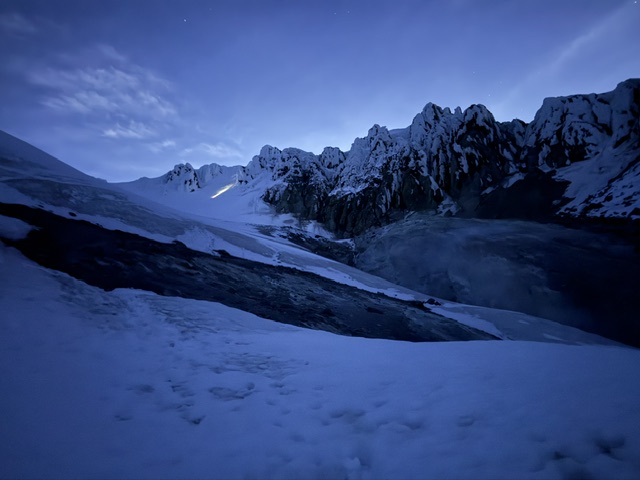
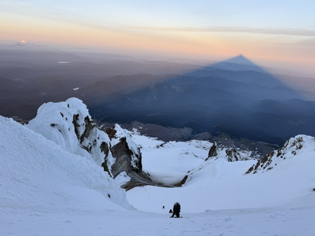
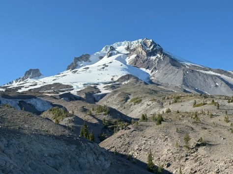
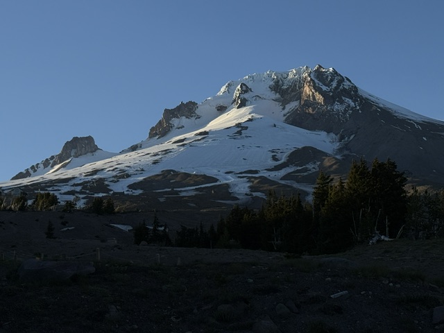
Mt. Hood National Forest is named for the 11,249-foot-tall stratovolcano that dominates the skyline east of Portland.  It has 12 glaciers that feed the amazing waterfalls of the region, several of which you can drive right up to in Columbia River Gorge National Scenic Area (see our blog post).  This area was first established as the Bull Run Forest Reserve in 1892 and was considered for National Park status beginning in 1940.  One famous destination is Bagby Hot Springs (fee), accessible by a 1.4-mile trail to hand-hewn tubs with cedar plumbing.  The lower bathhouse contains three individual log tubs and one six-foot round tub, while the upper bathhouse contains another six-foot round tub on an open deck.

Know someone who loves the National Forests? Gift them our travel guidebook Out in the Woods so they can learn more about all 155 National Forests.
Highlights

Columbia River Gorge National Scenic Area, Mt. Hood National Recreation Area, Multnomah Falls, Mt. Hood Loop Highway, Olallie Scenic Area, Bagby Hot Springs, Switchback Falls, Sahalie Falls, Trillium Lake, Lost Lake, Pacific Crest National Scenic Trail

Must-Do Activity

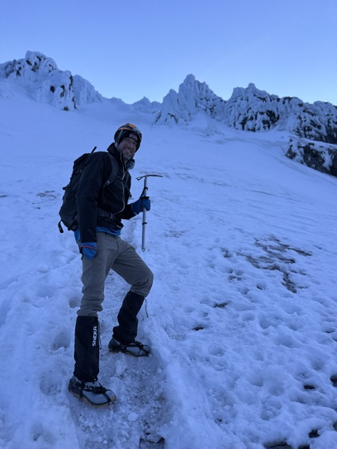
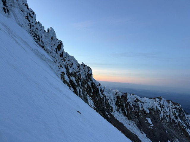
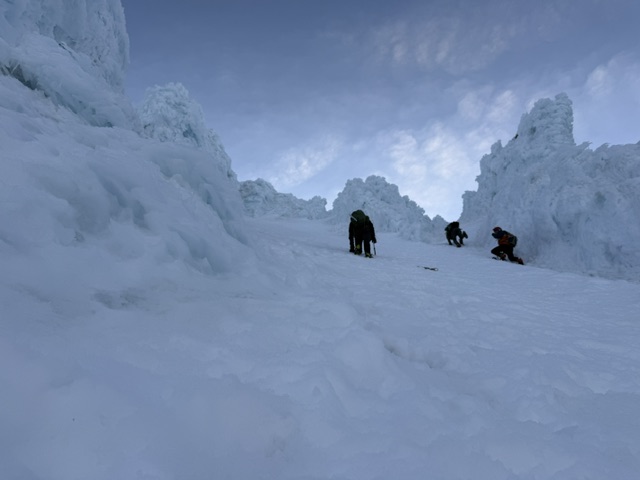
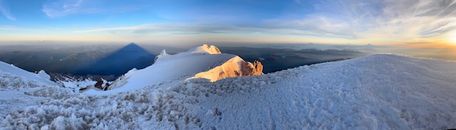
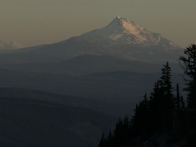
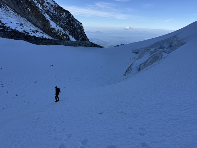
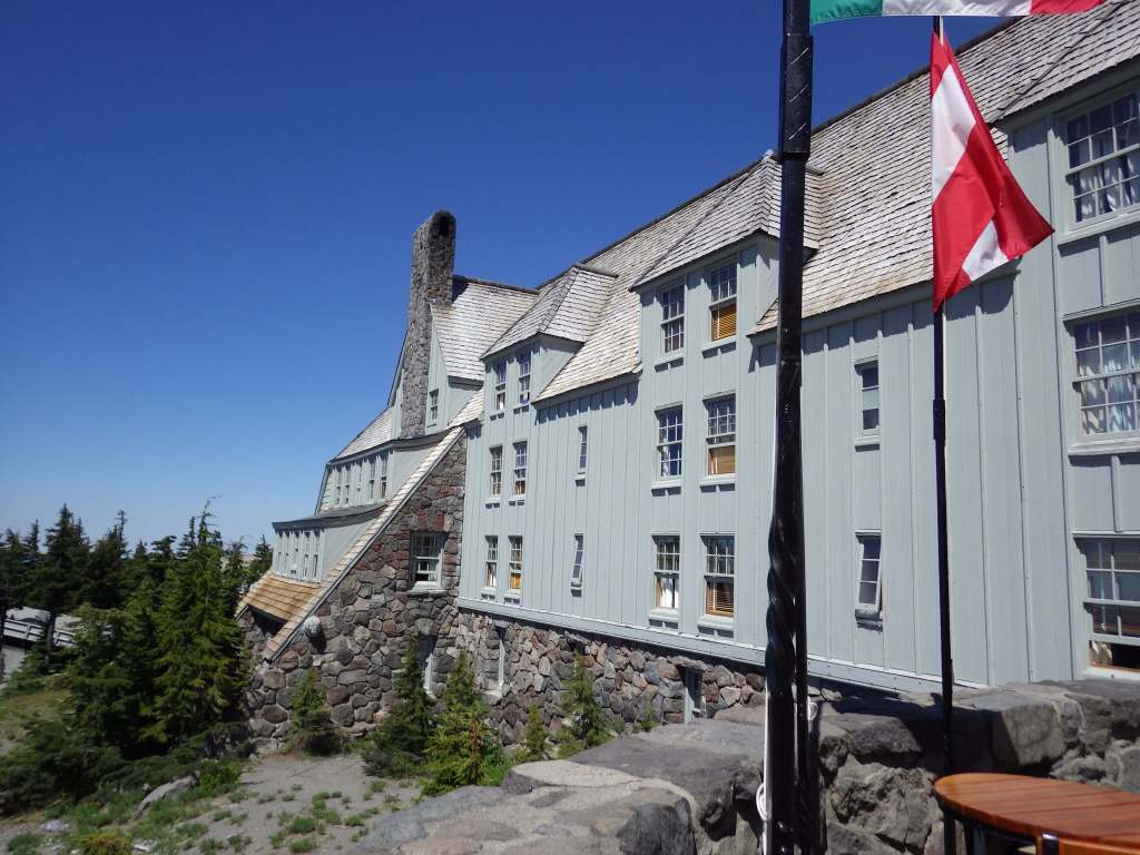
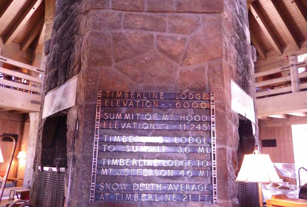
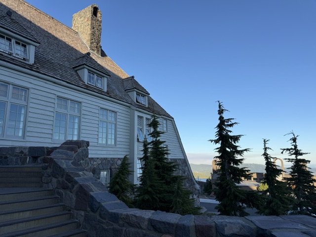
The highest of the five ski resorts on Mt. Hood is located at the end of a steep, six-mile-long paved drive off Highway 26.  It is home to Timberline Lodge, a National Historic Landmark you might recognize from the opening scenes of the 1980 film The Shining.  The ornate woodwork from the 1930s harkens back to a bygone era of craftsmanship, which is on display throughout the main lobby and the Rachael Griffin Historic Exhibition Center.  Downhill skiing is sometimes open throughout the summer, but even without skis you can take the sky ride to 7,000 feet in elevation for great views south of Mt. Jefferson and the Three Sisters in Deschutes National Forest.  Spring is the season for summitting Mt. Hood, and climbers must carry a free uphill travel pass and a WAG bag (human waste pack out bag).  Another popular spot, Olallie Scenic Area, is a high-elevation lake basin north of Mt. Jefferson. Mountain bikers are drawn to Mt. Hood National Recreation Area (see our blog post).

Best Trail

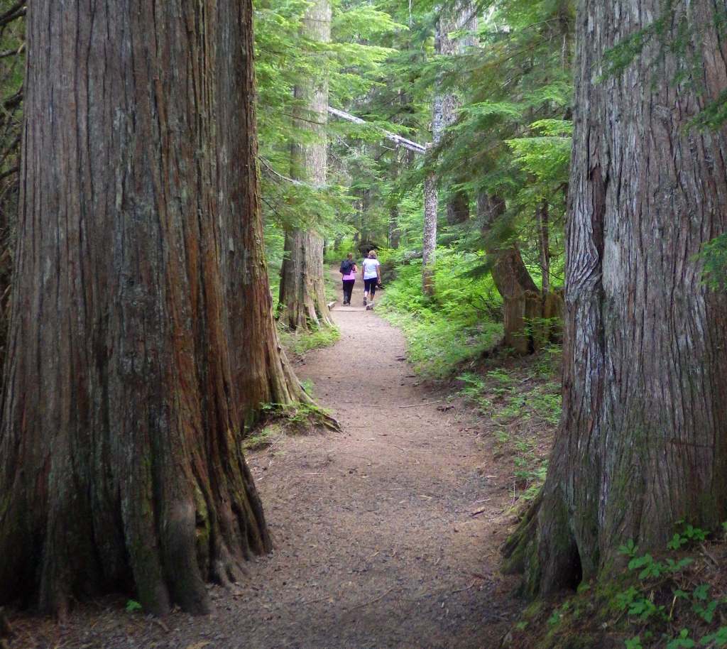
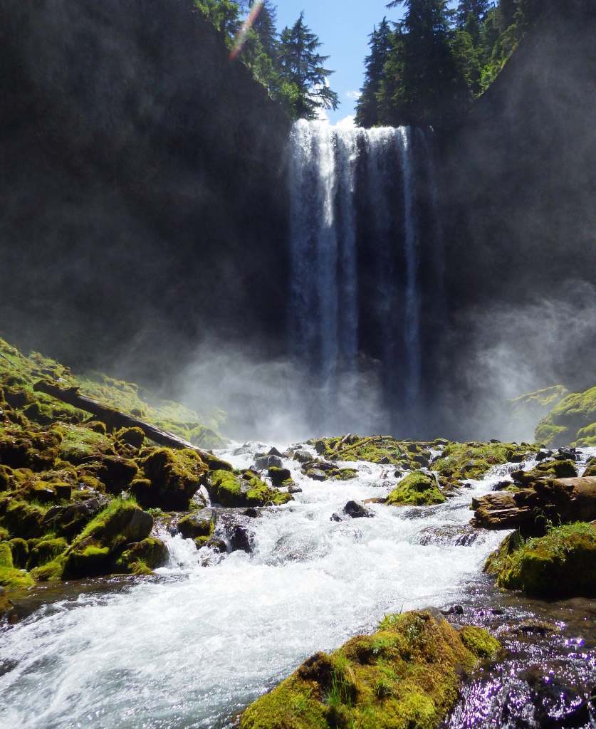
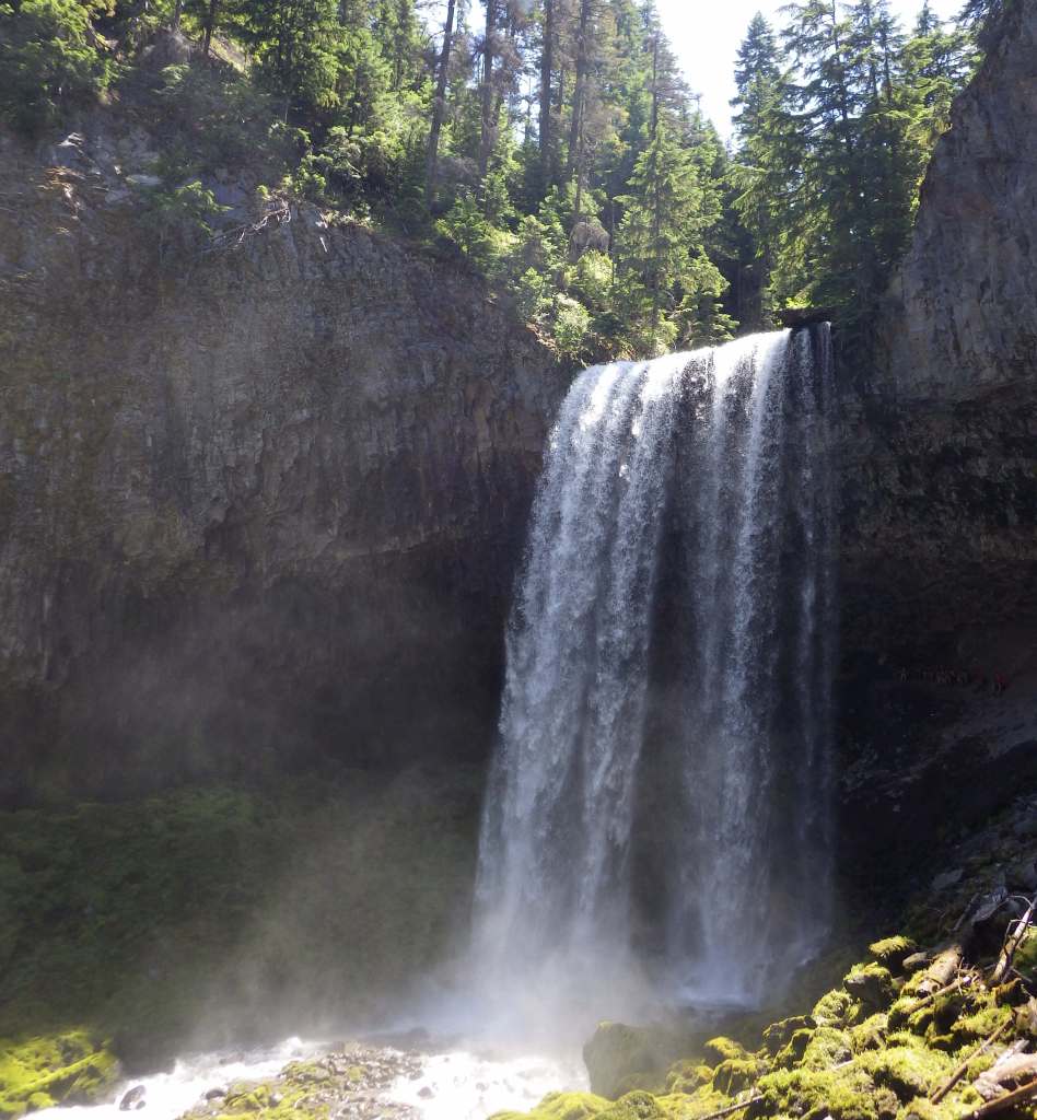
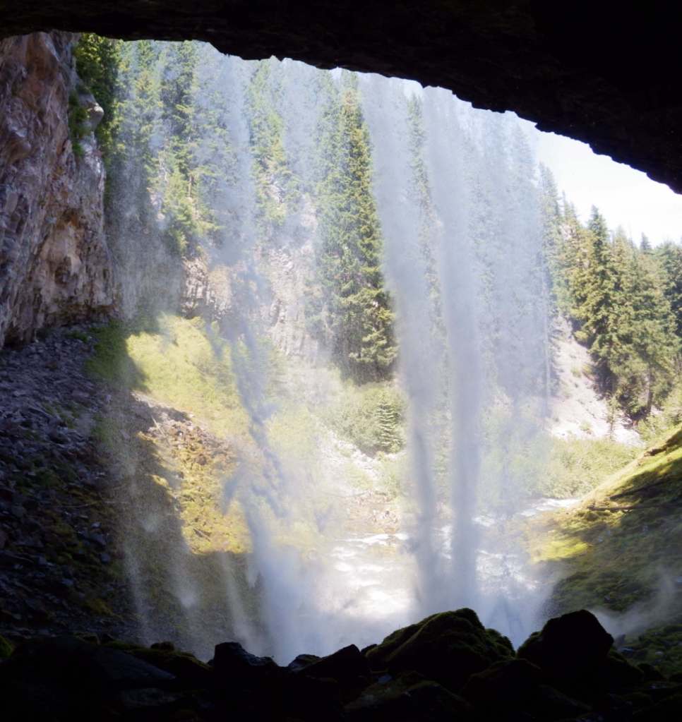
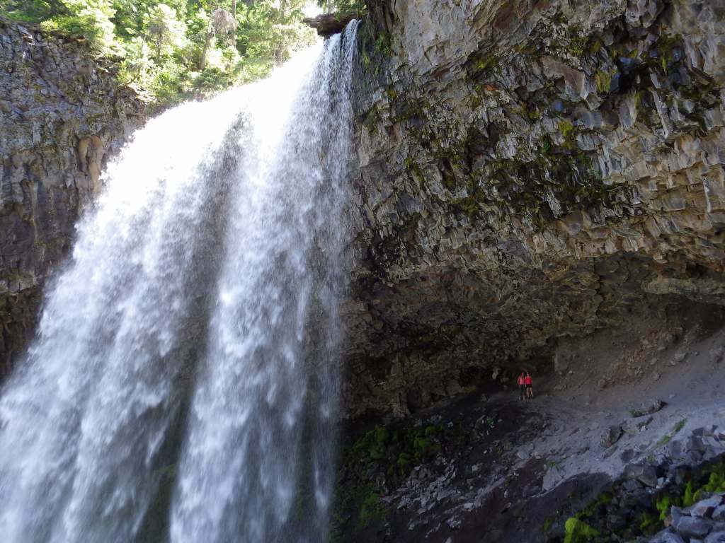
The hike behind Tamanawas Falls leaves from a trailhead near Sherwood Campground, where a rolling two-mile hike rises a cumulative 360 feet through a shady Douglas-fir forest as it follows the course of Cold Spring Creek.  At the base of the 100-foot-tall waterfall, a careful climb up slippery wet rocks takes hikers behind the curtain of water.  There are 1,200 miles of trails in the National Forest, including the 40.7-mile Timberline Trail built around Mt. Hood by the Civilian Conservation Corps (CCC) in the 1930s.  Part of the Pacific Crest National Scenic Trail shares this route as it skirts the volcano’s western slope.

Watchable Wildlife

Mt. Hood National Forest has both Roosevelt and Rocky Mountain elk, as well as mule deer, red foxes, coyotes, mountain lions, and black bears.  Less commonly seen are badgers, American pika, and Pacific marten.  Large birds include golden eagles, pileated woodpeckers, and Steller’s jays.  Situated at 4,900 feet in elevation, 240-acre Olallie Lake is stocked with both rainbow and brook trout.  The Sandy River and its tributaries have runs of chinook salmon, coho salmon, and steelhead.

Photographic Opportunity

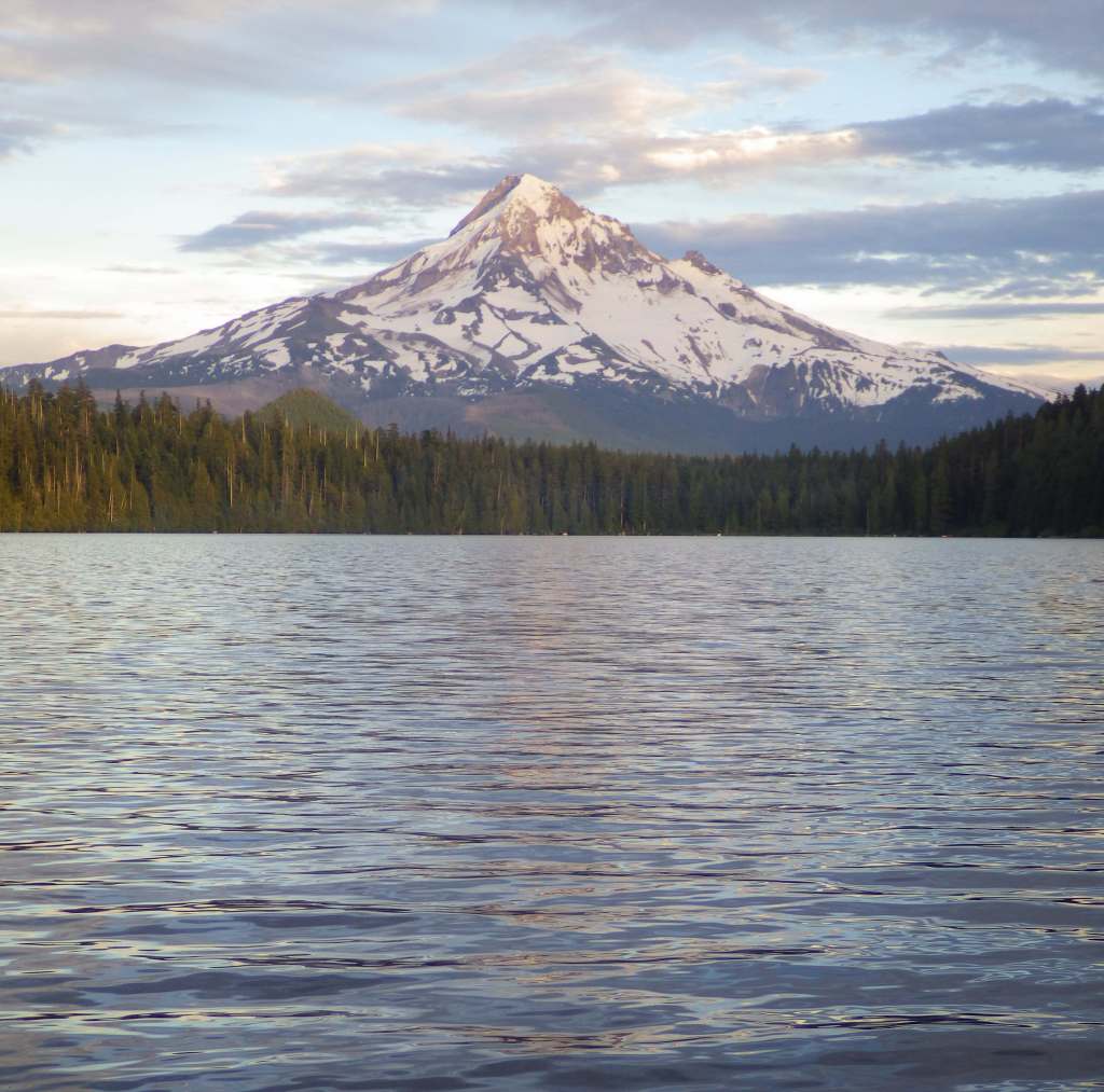
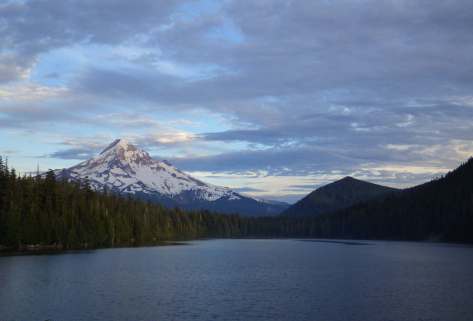
One particularly great spot to photograph Mt. Hood is from Lost Lake, which has canoe rentals and a nice three-mile hiking trail that encircles it.  We have also heard that Trillium Lake offers a great view.
Peak Season

Summer

Fees

$10 day use fee (no America the Beautiful passes accepted, but some take a Northwest Forest Pass) at the most popular areas like Trillium Lake; $15 at Lost Lake with no passes accepted; $5 per person at the Bagby Hot Springs with no passes accepted; $5 (or America the Beautiful pass) at Frog Lake Sno-Park/Trailhead; State of Oregon Sno-Park permit required November 1 through April 30 at some trailheads; see website for details: https://www.fs.usda.gov/r06/mthood/passes

Road Conditions

The road is paved to Timberline Lodge, but there are many unpaved roads in this area, some of which are in bad shape due to the high amounts of precipitation.

Camping

There are more than 70 campgrounds in Mt. Hood National Forest, including seven in Olallie Scenic Area.  The popular Bagby Campground near the hot springs does not take reservations.  Dispersed camping is a great way to enjoy the area.

Wilderness Areas

Badger Creek Wilderness

Bull of the Woods Wilderness

Clackamas Wilderness

Lower White River Wilderness

Mark O. Hatfield Wilderness

Mt. Hood Wilderness

Roaring River Wilderness

Salmon–Huckleberry Wilderness

Related Sites

Mt. St. Helens National Volcanic Monument (Washington)

Gifford Pinchot National Forest (Washington)

Newberry National Volcanic Monument (Oregon)

Mt. Baker National Forest (Washington)

Nearest National Park
Mount Rainier

Conifer Tree Species

Douglas-fir, western hemlock, western redcedar, noble fir, grand fir, subalpine fir, western yew, ponderosa pine, western larch

Flowering Tree Species

Oregon white oak, bigleaf maple, vine maple, rose-bay, salal, Pacific rhododendron

Explore More – Mt. Hood has been given a 3-7% chance of erupting in the next 30 years; when was the volcano’s last major eruption?

Learn more about this and the 154 other National Forests in our new guidebook Out in the Woods

Newberry National Volcanic Monument

Newberry National Volcanic Monument

Oregon

Managed by U.S. Forest Service

Established 1990

54,822 acres

Website: https://www.fs.usda.gov/recarea/deschutes/recarea/?recid=66159

Overview

Newberry National Volcanic Monument was carved from Deschutes National Forest by presidential proclamation in 1990 and here you must purchase a recreation pass to visit.  The main area of development is around Paulina Lake, but short roads off Highway 97 also lead to Lava River Cave and the top of Lava Butte.  Lava River Cave, at 5,211 feet in length, is Oregon’s longest lava tube and one of more than 250 known caves found throughout Deschutes National Forest.  A one-mile interpretive trail enters the Lava Cast Forest, where 6,000 years ago the forms of trees were preserved in lava before burning up.
Highlights

Paulina Lake, East Lake, Paulina Falls, Lava Cast Forest, Paulina Peak, Lava River Cave, Lava Butte, Big Obsidian Flow Trail, Crater Rim Trail, Peter Skene Ogden Trail

Must-Do Activity

Newberry National Volcanic Monument has everything you would expect from a volcanic area: lava tubes, cinder cones, cast trees, and basalt flows.  There are also some things you might not guess, like an 80-foot tall waterfall, two big lakes for boating, forested campgrounds, and two lakeside resorts.  We have seen photos of people soaking in a hot springs on the shore of chilly Paulina Lake, but we are not sure exactly where those are located.

Best Trail

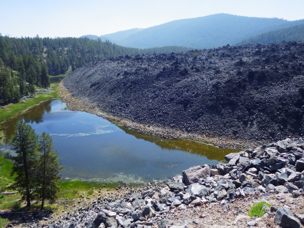
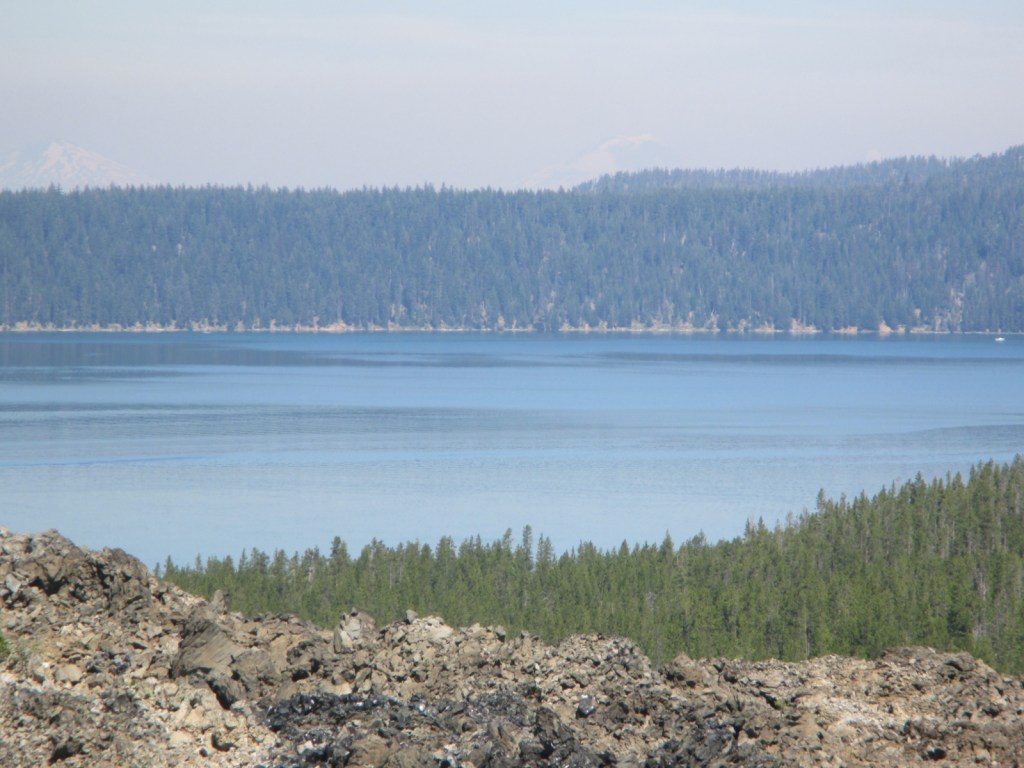
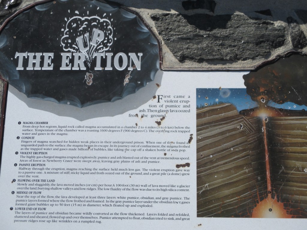
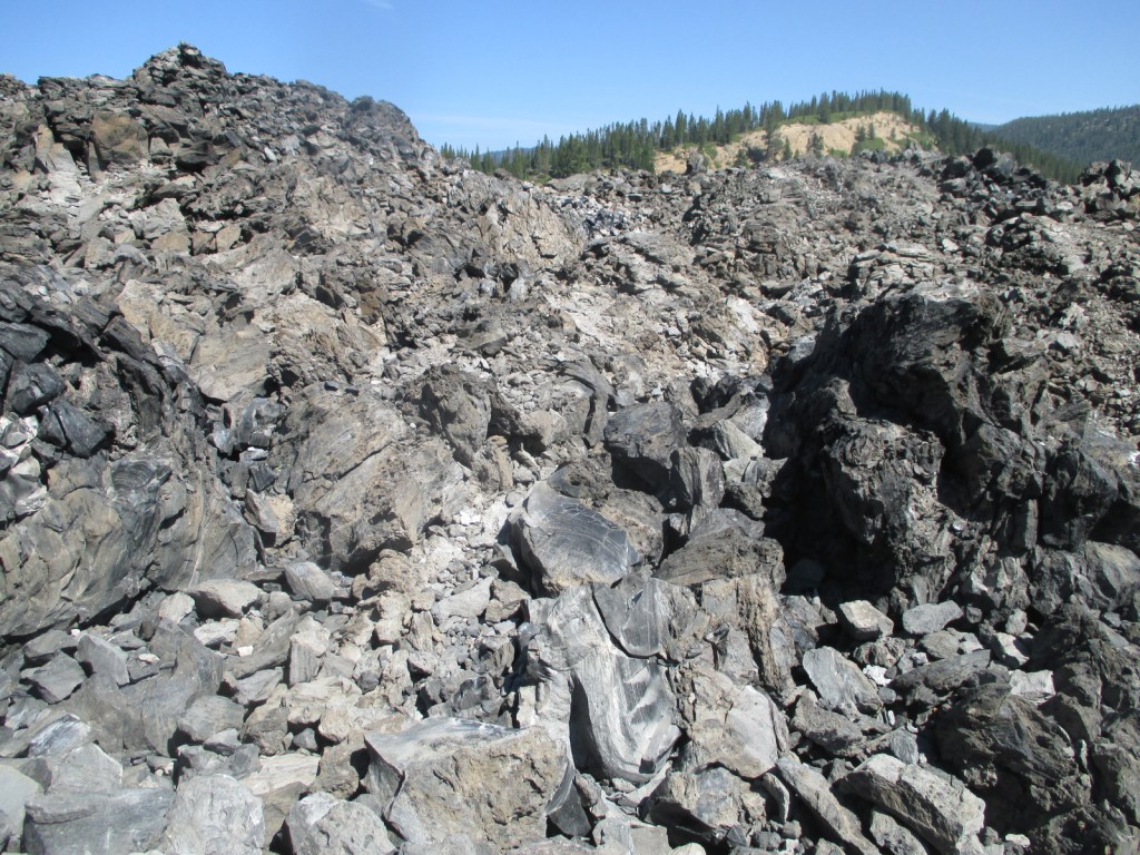
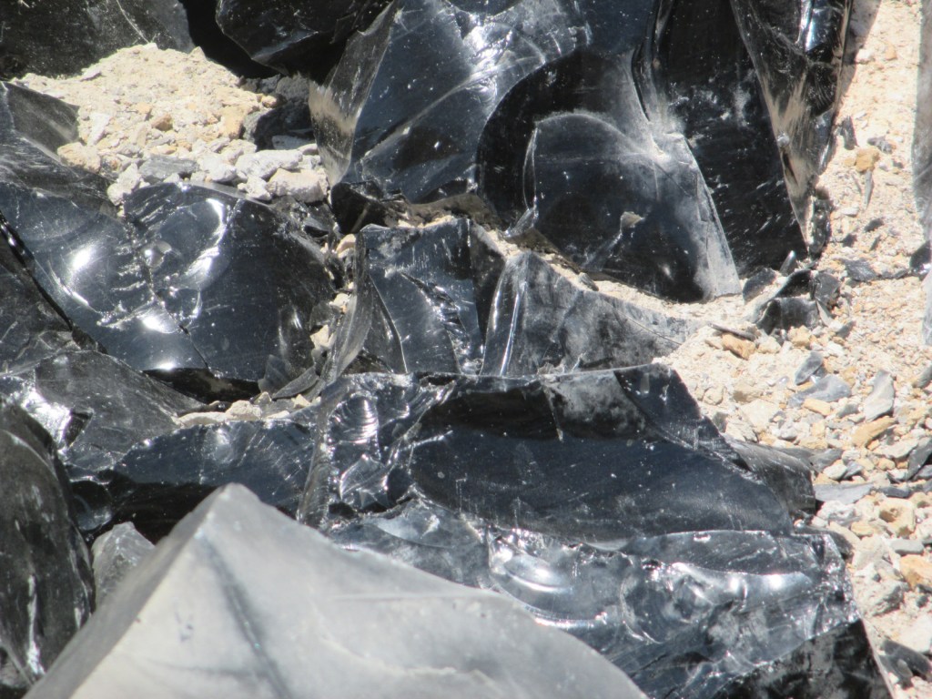
There are a variety of hiking trails in the area, like the 21-mile Crater Rim Trail that circles Newberry Caldera or the one-mile Big Obsidian Flow Trail.  These both offer outstanding views of Paulina Lake or you can drive to the top of 7,984-foot-tall Paulina Peak.  Sharp chunks of obsidian (volcanic glass) mean that you should wear good shoes (not sandals) on the Big Obsidian Flow Trail.  

Instagram-worthy Photo

Lovely Paulina Falls is split into two separate waterfalls off the cliff face on the caldera’s western edge.  The overlook is accessible by a short hike and user trails lead steeply to its base.

Peak Season

Late summer

Fees

$5 daily recreation pass or America the Beautiful pass

Road Conditions

The roads we drove to access Paulina and East Lakes were paved, but there are many other unpaved Forest Service roads in the National Monument.

Camping

One of numerous campgrounds, Little Crater Campground is situated on Paulina Lake, plus there are two lakeside resorts.

Related Sites

Craters of the Moon National Monument and Preserve (Idaho)

Mt. St. Helens National Volcanic Monument (Washington)

Sunset Crater Volcano National Monument (Arizona)

Explore More – What is the name of the popular museum of wildlife and living history located just north of Newberry National Volcanic Monument on Highway 97?

Katmai National Park and Preserve

Katmai National Park and Preserve

Alaska

Managed by National Park Service

Established 1918 National Monument, 1980 National Park

3,674,529 acres

Website: nps.gov/katm

Overview

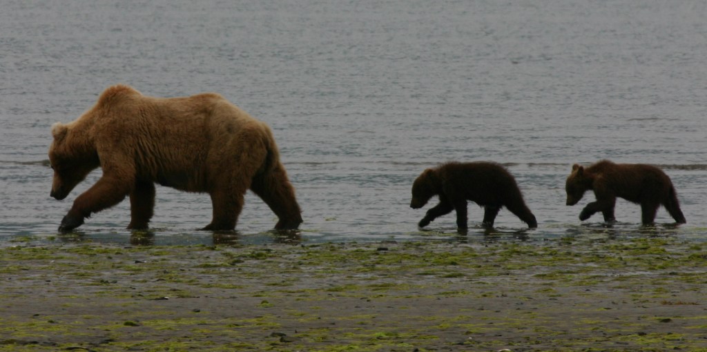
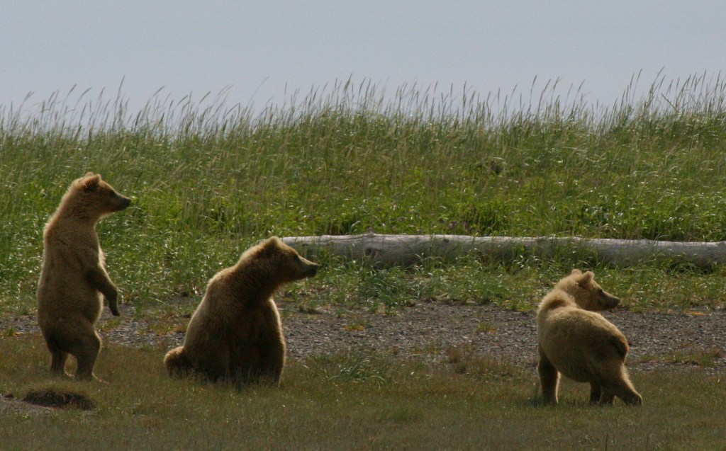
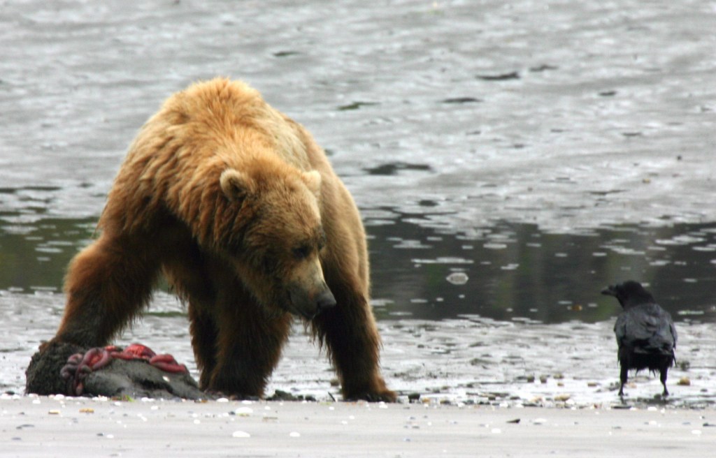
Katmai National Monument was created after the Novarupta Volcano erupted in 1912 (an event recorded in the skinny tree rings grown throughout Alaska that year).  Ash fell in Seattle (1,500 miles away) and piled up to 700 feet deep in the Valley of Ten Thousand Smokes.  The valley is no longer smoking, but it is there are still 15 active volcanoes within the park’s boundaries.  This remote park on the Alaska Peninsula has few roads and is only accessible by airplane (typically equipped with floats for water landings).  Oh yeah, and there are lots of grizzly bears, or brown bears as they are called in coastal areas of Alaska.

Highlights

Brooks Falls, North Arm of Naynek Lake, Hallo Bay, Valley of Ten Thousand Smokes, Baked Mountain Huts, Savonoski Loop

Must-Do Activity

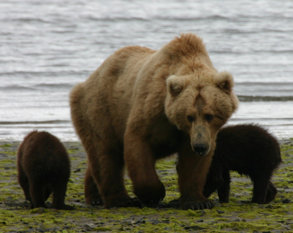
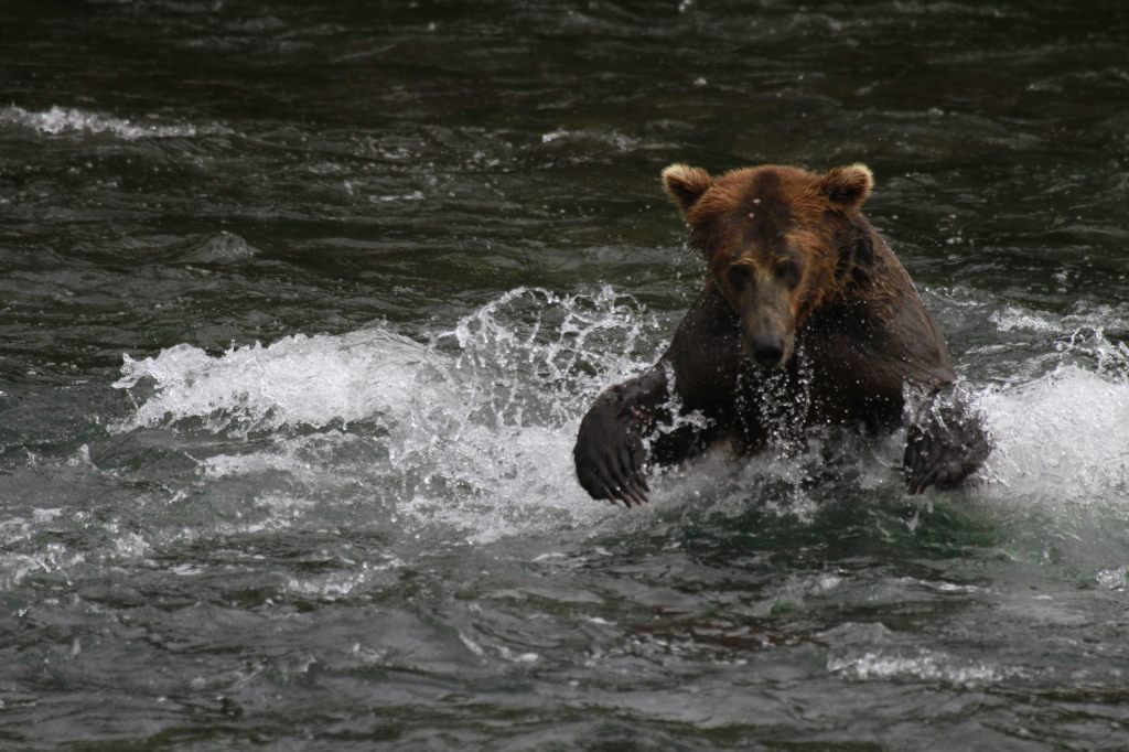
The grizzly/brown bears of Brooks Falls are celebrities due to the annual Fat Bear Week vote for the chunkiest bear on social media.  Less famous are the bears that hang out around Hallo Bay on the coastline, eating grass and shellfish until the salmon arrive.  Regardless of your destination, flights from road-accessible portions of Alaska (like Homer and Kenai) can be quite costly.  Most of the approximately 50,000 annual visitors come only for a day trip, although there are three expensive lodges and a campground in the park.

Best Trail

Brooks Falls Trail connects the Lower River Bear Viewing Platform 1.2 miles to the Falls and Riffles Platforms at Brooks Falls.  Near the visitor center, the short Cultural Site Trail visits a prehistoric camp and reconstructed dwelling.

Instagram-worthy Photo

Brooks Falls is a world-class destination for wildlife photographers from around the world, so you might want to bring along a camera with a good zoom lens if you pay to get there during the peak months of July and September. This photo is from Scott’s father (see more of his photos and paintings at Bruce Sink.com)

Peak Season

Summer

Hours

https://www.nps.gov/katm/planyourvisit/hours.htm

Fees

The National Park Service does not charge an entry fee, but it is very expensive to fly to Brooks Camp or Hallo Bay.

Road Conditions

There is a 23-mile long road that leads from Brooks Falls to the Valley of Ten Thousand Smokes and a daily eight-hour ranger-guided bus tour is available in the summer.  Backpackers can buy one-way tickets and explore the area, with the Baked Mountain Huts a popular destination 12 miles away across two difficult river crossings.

Camping

There are 60 sites at Brooks Camp Campground (reservations required prior to arrival), which is surrounded by an electric fence to keep bears out.

Related Sites

Kenai Fjords National Park (Alaska)

Lake Clark National Park and Preserve (Alaska)

Denali National Park and Preserve (Alaska)

Explore More – How many grizzly/brown bears are estimated to live within Katmai National Park and Preserve?

We are a participant in the Amazon Services LLC Associates Program, an affiliate advertising program designed to provide a means for us to earn fees by linking to Amazon.com and affiliated sites.

Glacier National Park

Overview

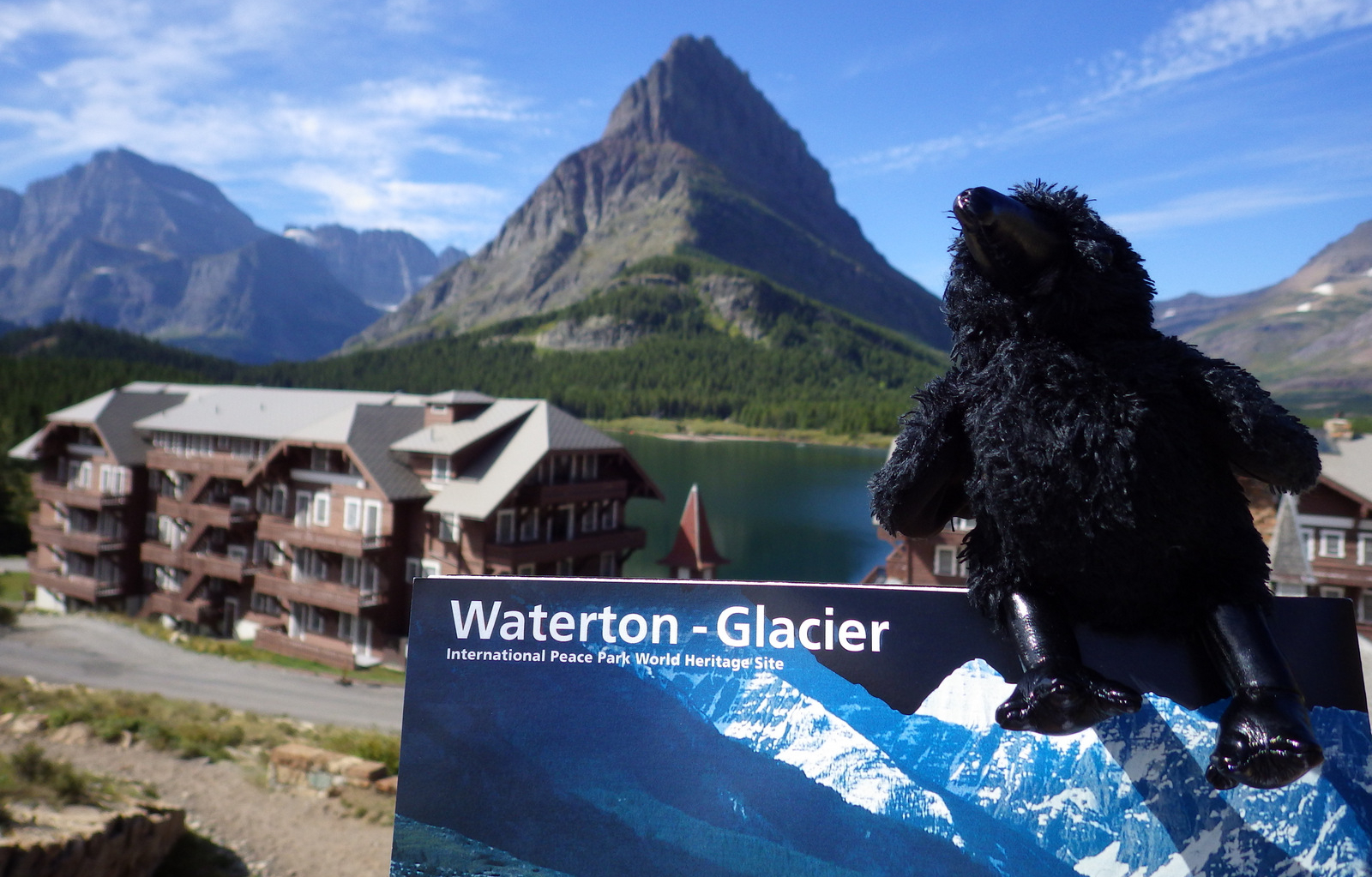
Officially, since 1932 this American-Canadian natural reserve has been called Waterton-Glacier International Peace Park.  We will focus on the U.S. side since you still need a passport to cross the border (when it is open).  The million-acre Glacier National Park was established in 1910 as a tourist destination and to protect its wildlife, including grizzly/brown bears.  It is open year round, but sees more than half its visitors in July and August.

Learn more in our guidebook to the National Parks, A Park to Yourself: Finding Adventure in America’s National Parks (available on Amazon).

Highlights

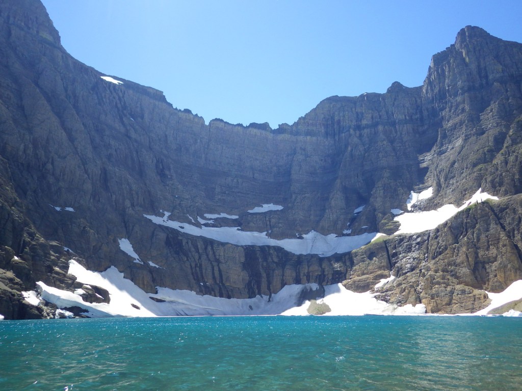
Going-to-the-Sun Road, St. Mary Lake, Logan Pass, Many Glacier Hotel, Iceberg Lake

Must-Do Activity

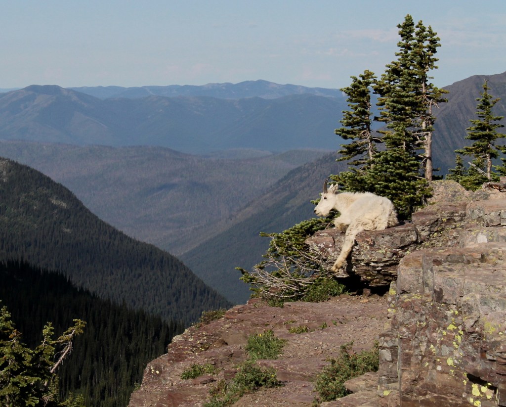
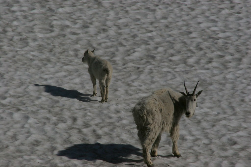
The world renowned Going-to-the-Sun Road was built to cross the park from east to west in the 1920s.  At its highest point (6,646-foot Logan Pass), the road crosses the Continental Divide, an imaginary line where a raindrop drains all the way into the Atlantic Ocean on one side and into the Pacific Ocean on the other.  Hidden Lake Overlook near the Logan Pass Visitor Center is known for sightings of mountain goats, bighorn sheep, and hoary marmots.

Best Trail

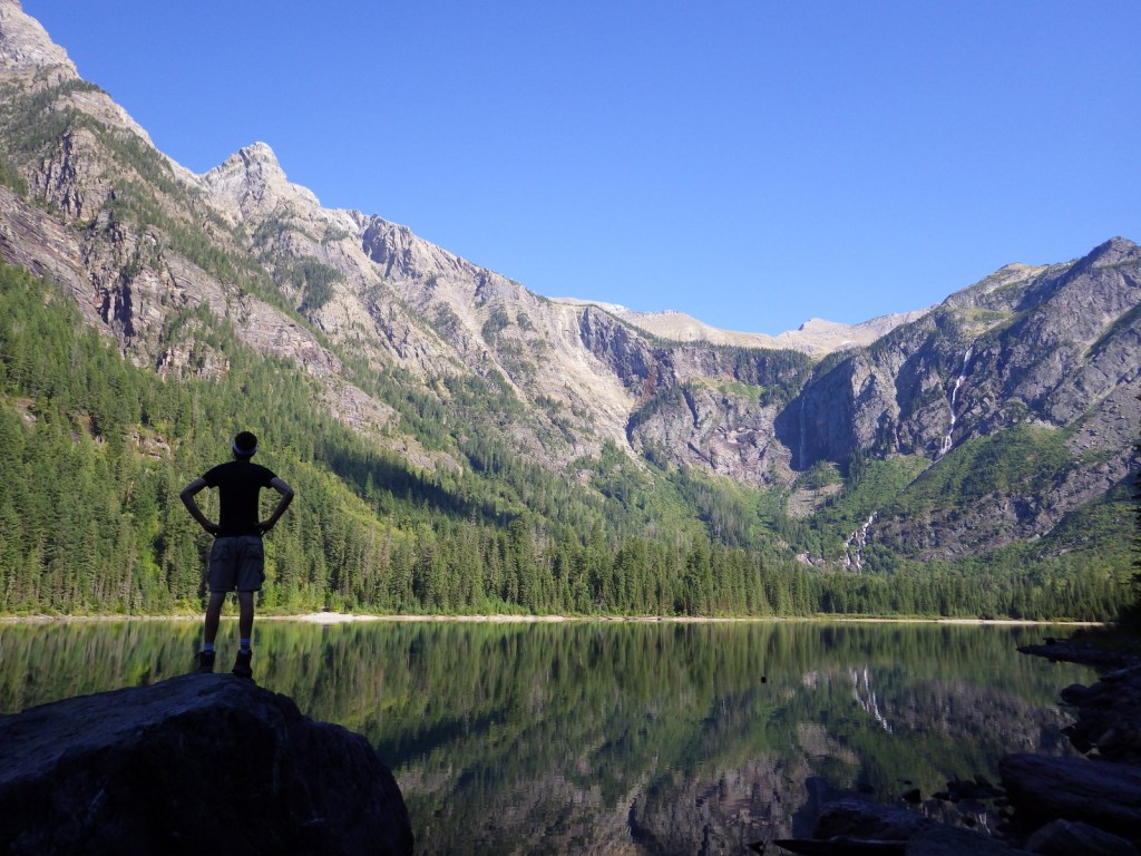
Avalanche Lake is located at the end of a two-mile one-way hike from the famous Going-to-the-Sun Road.  We spotted a grizzly/brown bear on the way back from our hike there.

Instagram-worthy Photo

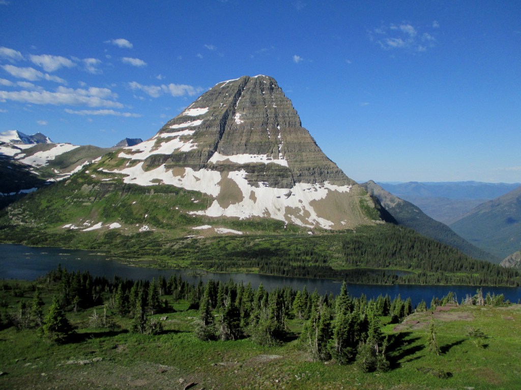
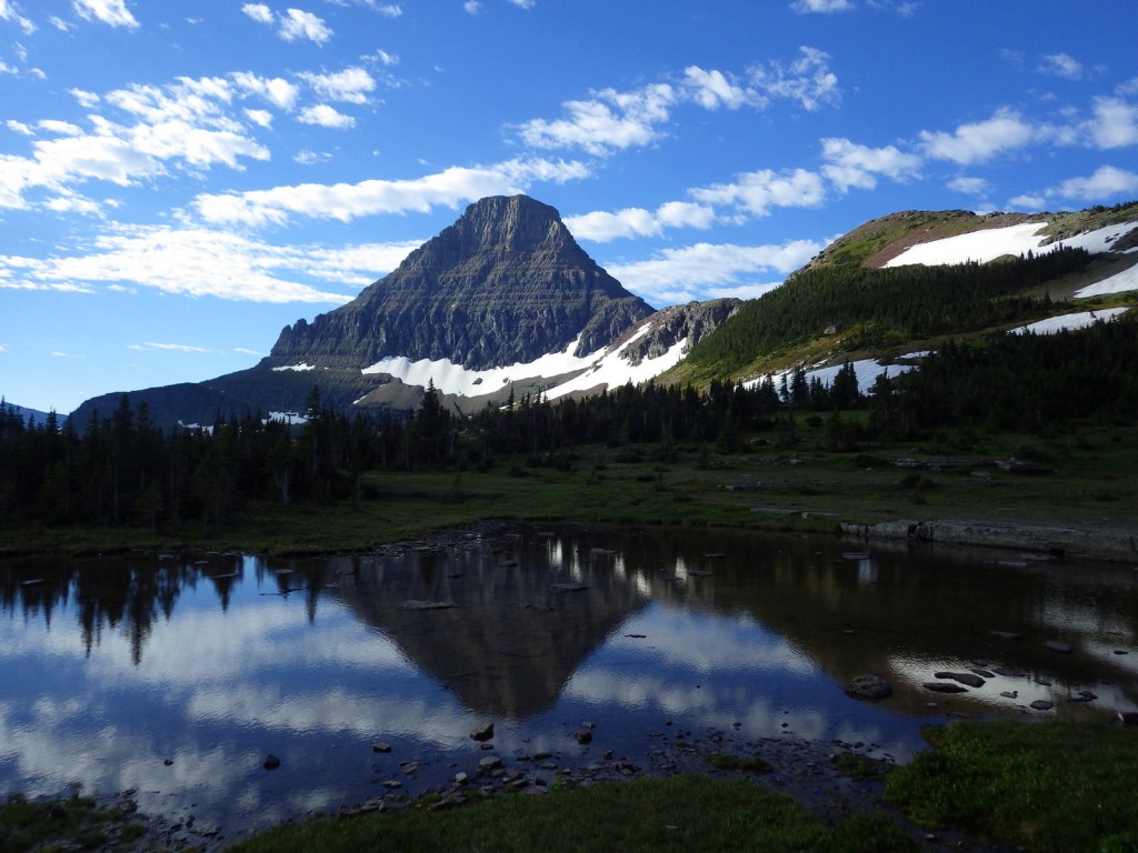
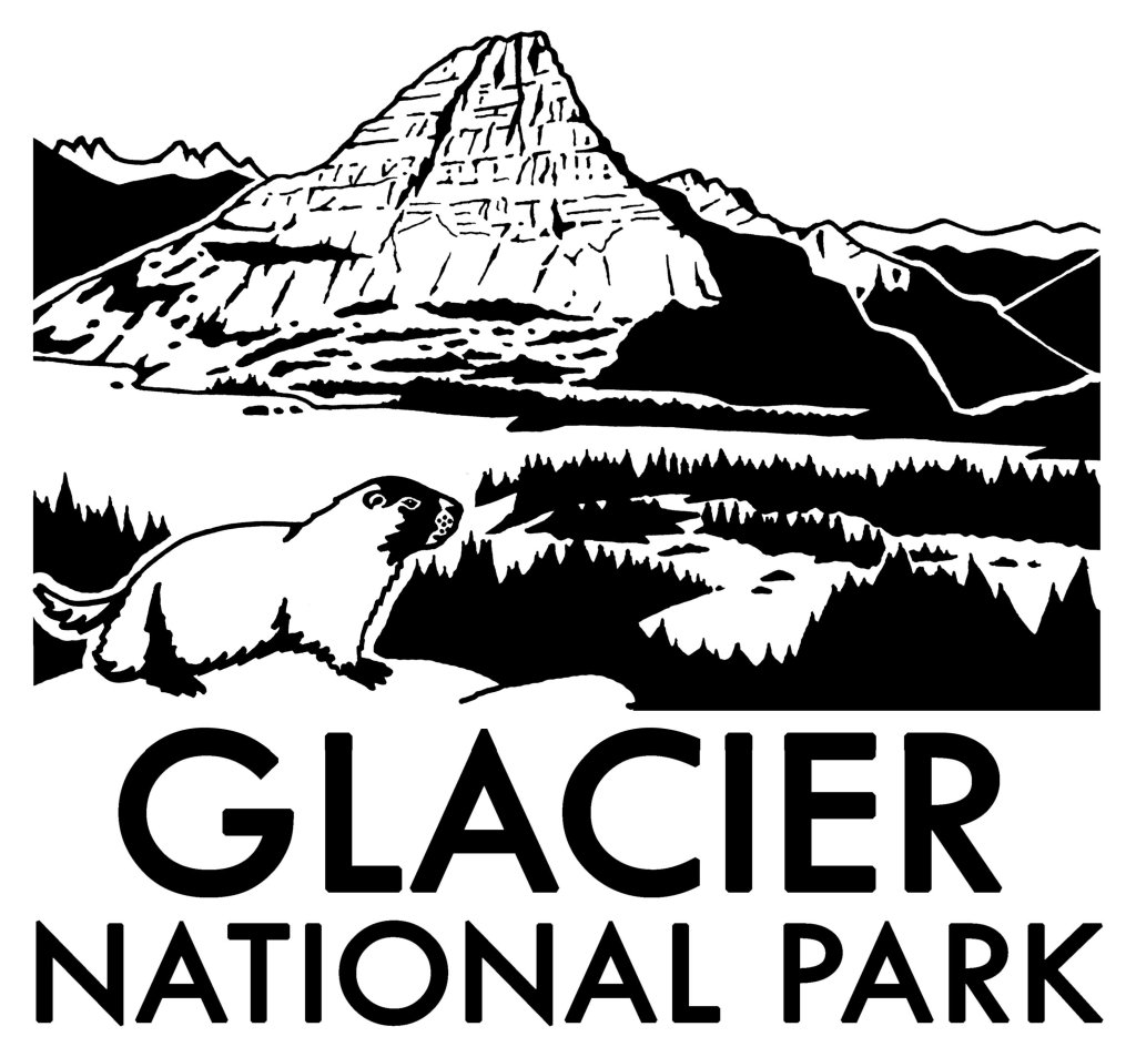
Hidden Lake often reflects the image of Bearhat Mountain, which is why we chose it as our logo design for Glacier National Park (see below).

Peak Season

Summer

Hours

https://www.nps.gov/glac/planyourvisit/hours.htm

Fees

$35 per vehicle or America the Beautiful pass

Road Conditions

Vehicles over 21 feet in length or eight feet in width are prohibited in the middle sections of Going-to-the-Sun Road.  Good dirt roads lead to campgrounds at Bowman Lake and Kintla Lake on the west side of the park.

Camping

St. Mary and Fish Creek Campgrounds accept reservations and several others are available on a first-come, first-served basis.

Related Sites

Yellowstone National Park (Wyoming-Montana-Idaho)

Grant-Kohrs Ranch National Historic Site (Montana)

Big Hole National Battlefield (Montana)

This design we created to celebrate Glacier National Park is available on a variety of products at Cafe Press and Amazon.

Explore More – When were the iconic “red jammer” buses first introduced to the park?

We are a participant in the Amazon Services LLC Associates Program, an affiliate advertising program designed to provide a means for us to earn fees by linking to Amazon.com and affiliated sites.

Grand Teton National Park

Wyoming

Managed by National Park Service

Established 1929

310,000 acres

Website: nps.gov/grte

Overview

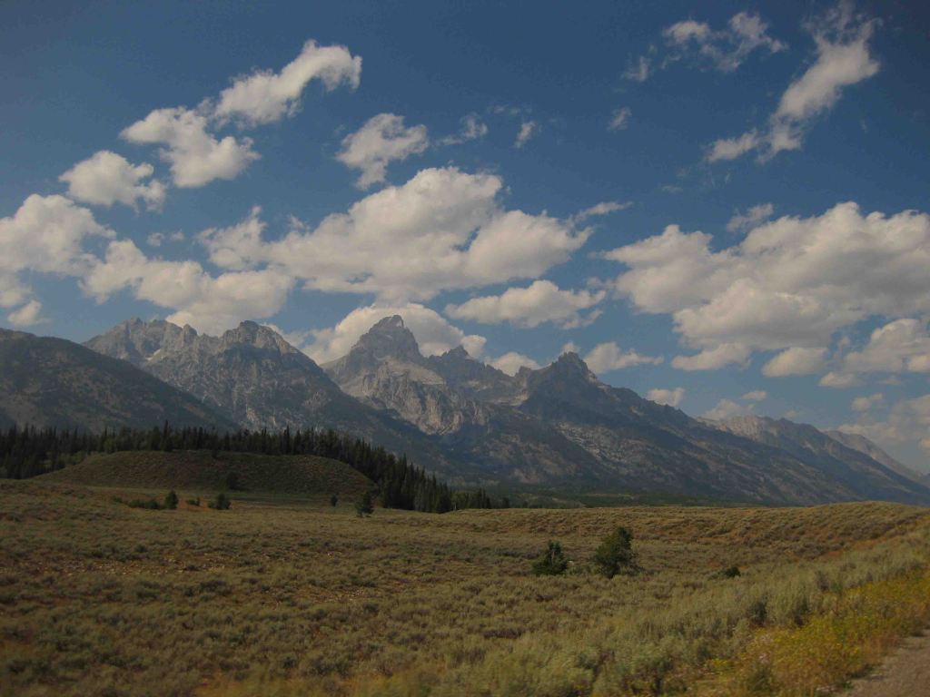
Just south of Yellowstone National Park, is one of the most recognizable skylines in the United States, topped by 13,772-foot tall Grand Teton Peak.  The Teton Mountains were established as a National Park in 1929, but the rest of the park has a strange history.  Land in the Jackson Hole valley was bought up by the Rockefeller family and attempted to be donated to the U.S. government for decades.  In 1943, President Franklin D. Roosevelt created Jackson Hole National Monument under the Antiquities Act, but it did not include the Rockefeller holdings.  It was not until 1950 that a deal was struck merging everything into Grand Teton National Park as we know it today.  Part of that negotiation was a requirement that in the future no land in Wyoming would ever be established as a National Monument under the Antiquities Act.

Learn more about how to visit this National Park in the expanded second edition of our guidebook A Park to Yourself: Finding Solitude in America’s 63 National Parks. 

Highlights

Jenny Lake, Inspiration Point, Jackson Lake Lodge, Oxbow Bend Turnout, Mormon Row

Must-Do Activity

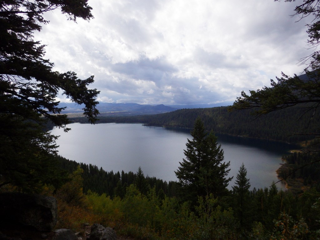
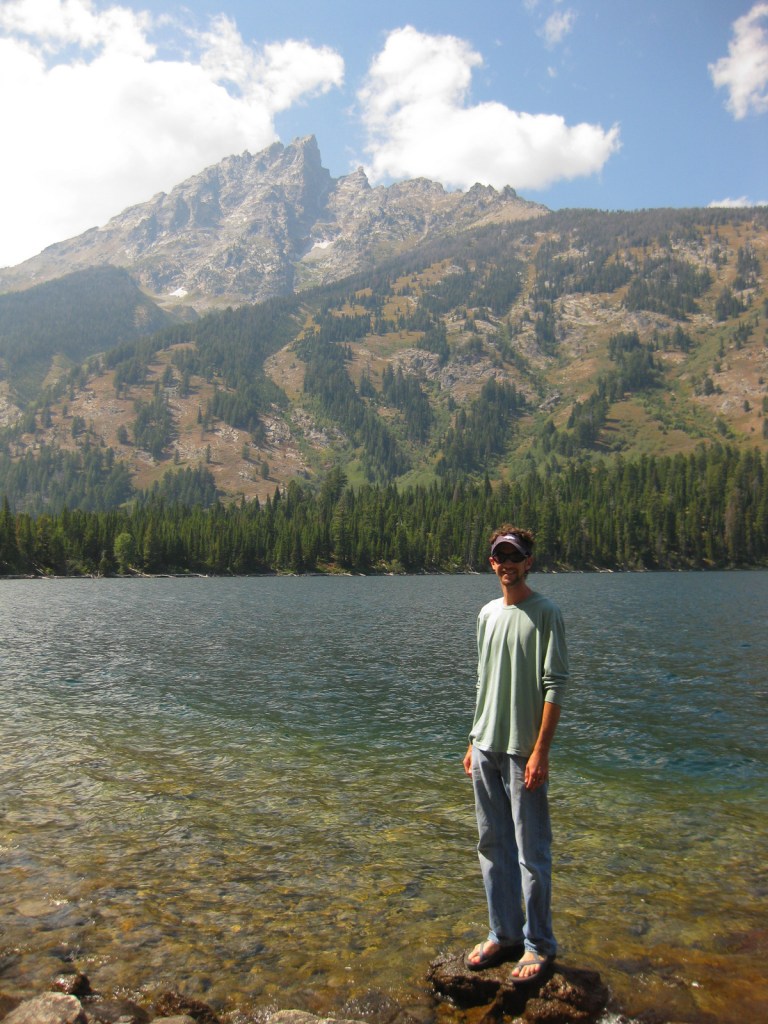
One of our favorite places in the park is Jenny Lake, which sparkles below 12,325-foot Teewinot Peak.  This is the trailhead for Cascade Canyon, but there are plenty of activities other than hiking, which include boating, horseback riding, mountain climbing, whitewater rafting, or cross-country skiing in the winter. 

Best Trail

You can hike around Jenny Lake to the lake to Hidden Falls and the waterfalls of Cascade Canyon, or you can take the shortcut aboard a shuttle boat (fee).  This popular trail can get very busy in the summer, which is true of most of the trails in the park.

Instagram-worthy Photo

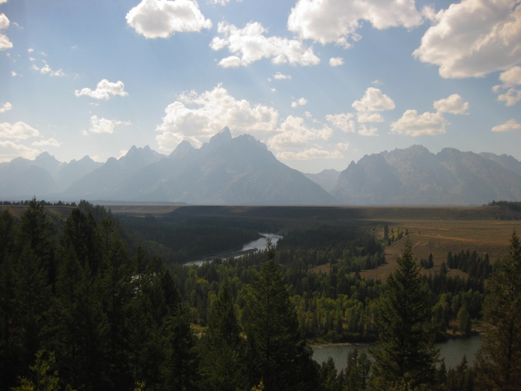
Oxbow Bend Turnout is found along Highway 89/191/287, north of Moran Junction Entrance Station.  It overlooks a curve in the Snake River towards the Teton Mountain Range, which is why we chose it for our original logo design (see below).

Peak Season

Summer

Hours

https://www.nps.gov/grte/planyourvisit/hours.htm

Fees

$35 per vehicle or America the Beautiful pass

Road Conditions

The only main road that are not paved is the short segment that connects Phelps Lake with Jackson Hole Ski Area, but there are other rough gravel roads that follow the Snake River.

Camping

The first-come, first-served tent-only campsites at Jenny Lake or Signal Mountain are usually full, so you can always try Gros Ventre Campground which has 350 sites and rarely fills up.  Reservations for sites with hook-ups are accepted at Colter Bay RV Park and Headwaters at Flagg Ranch, which is just north of the park boundaries on the John D. Rockefeller Jr. Memorial Parkway.

Related Sites

Yellowstone National Park (Wyoming-Montana-Idaho)

Fossil Butte National Monument (Wyoming)

Devils Tower National Monument (Wyoming)

This design we created to celebrate Grand Teton National Park is available on a variety of products at Cafe Press and Amazon.

Explore More – How did the valley of Jackson Hole (and the city of Jackson) get its name?

Know someone who loves National Parks? Gift them our travel guidebook A Park to Yourself: Finding Solitude in America’s 63 National Parks.