Sáttítla Highlands National Monument
California
Managed by U.S. Forest Service, Pacific Southwest Region
Established 2025
224,676 acres
Website: https://www.fs.usda.gov/visit/national-monuments/sattitla-highlands-national-monument
Overview
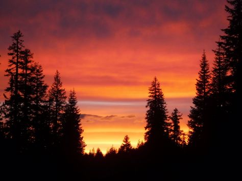
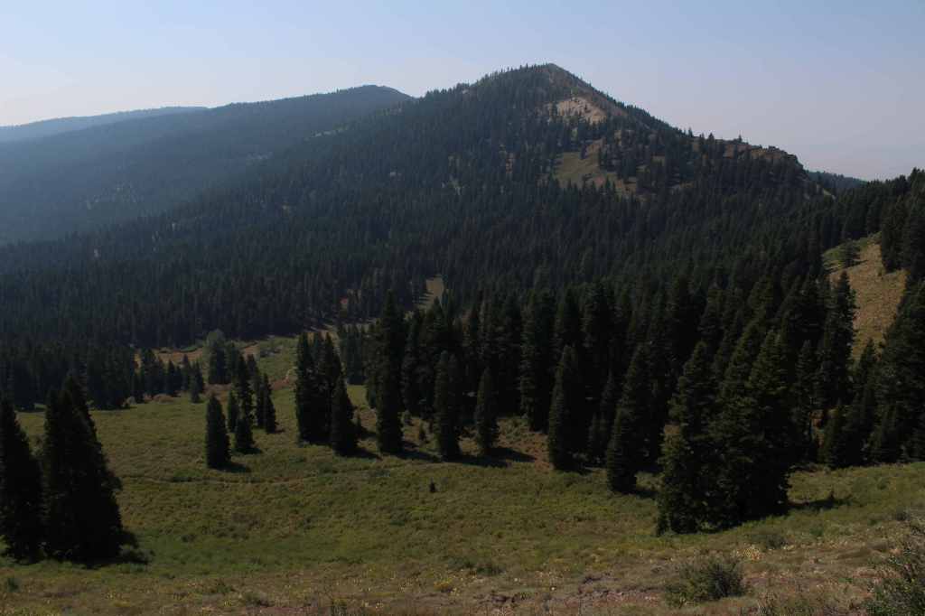
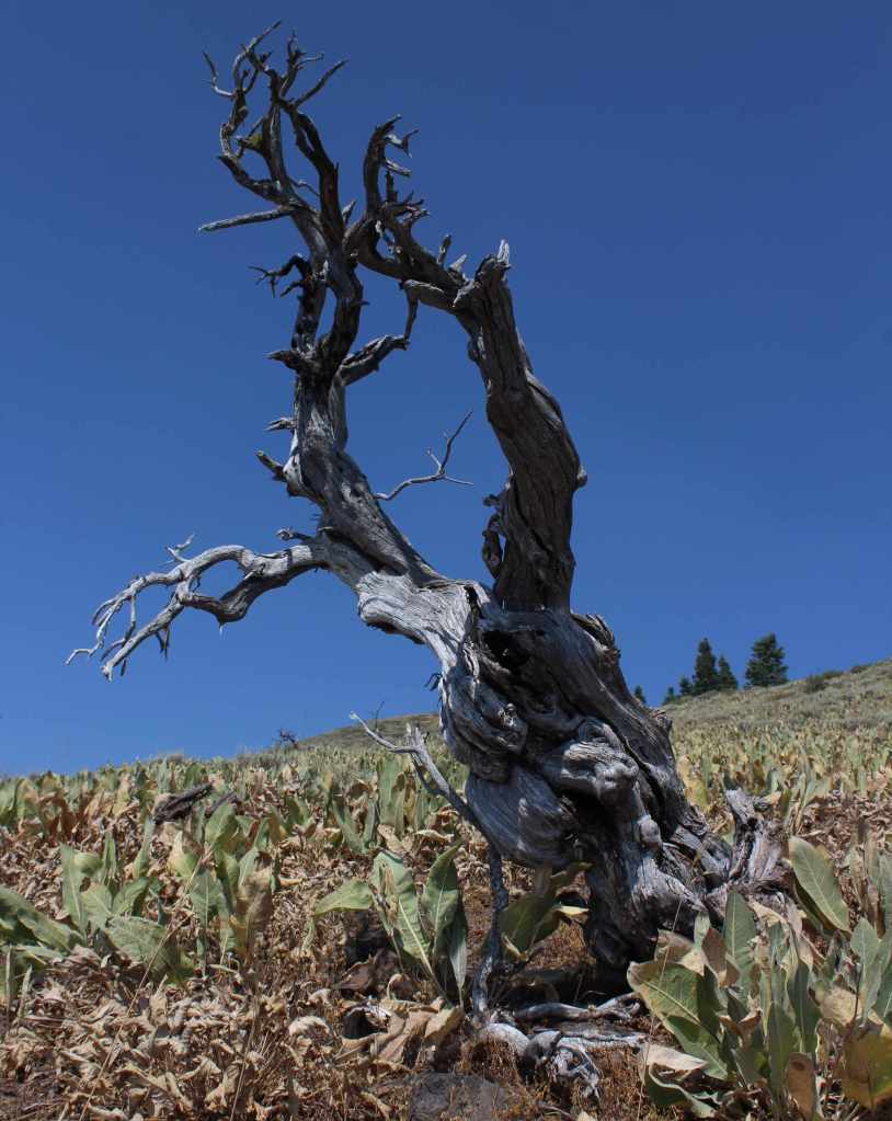
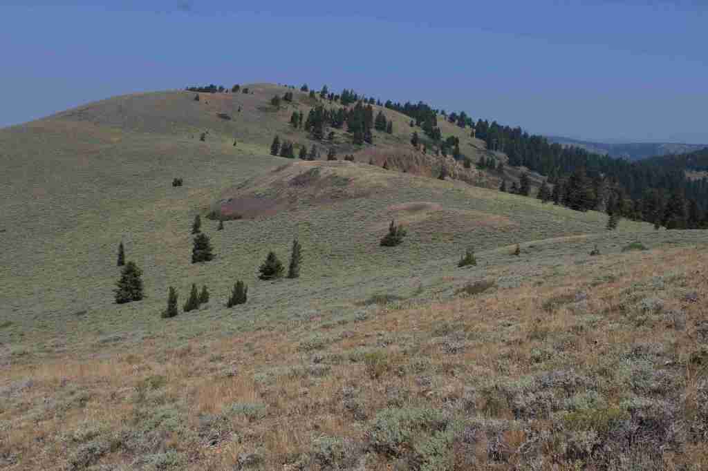
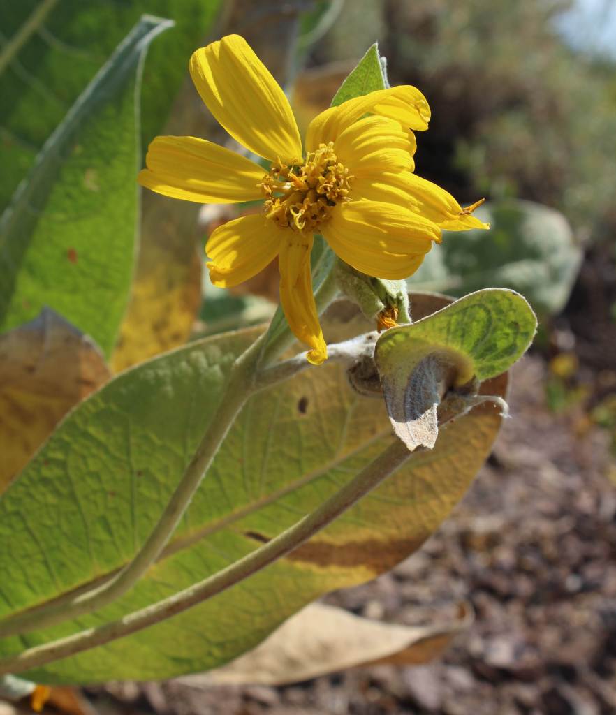
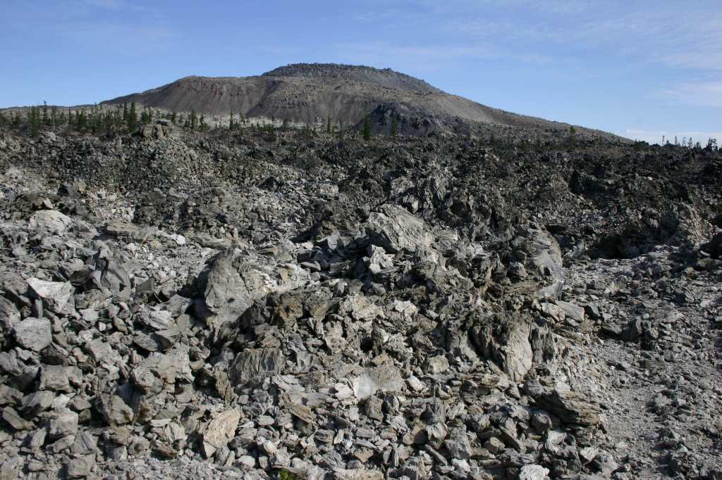
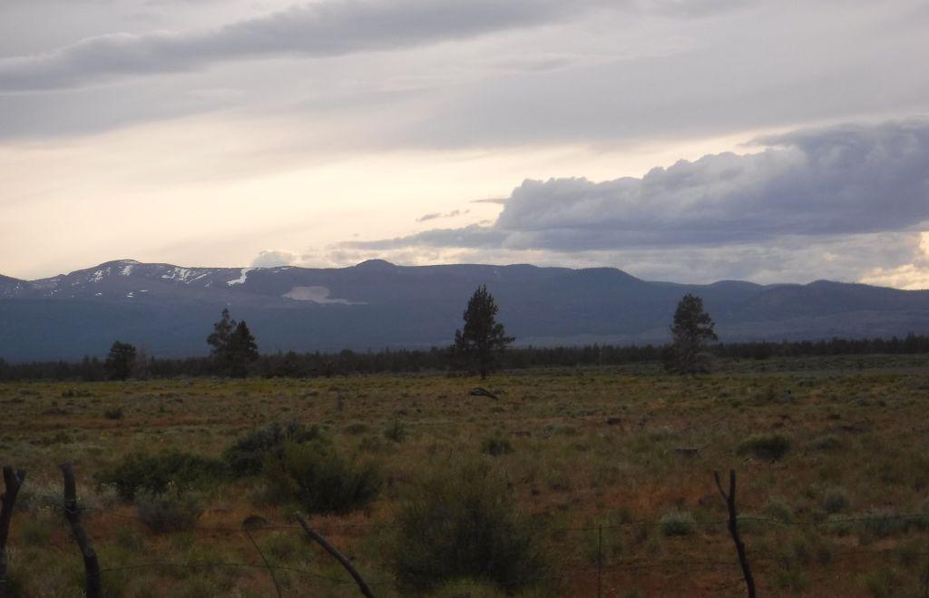
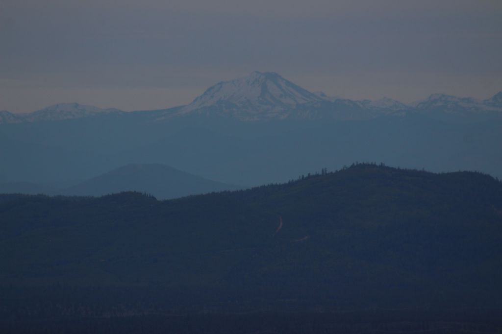
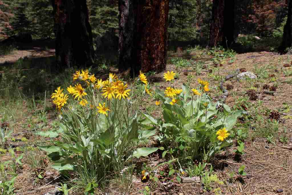
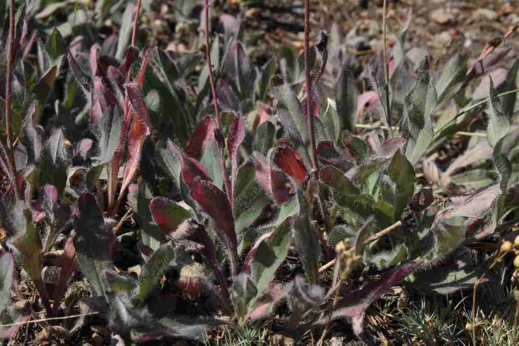
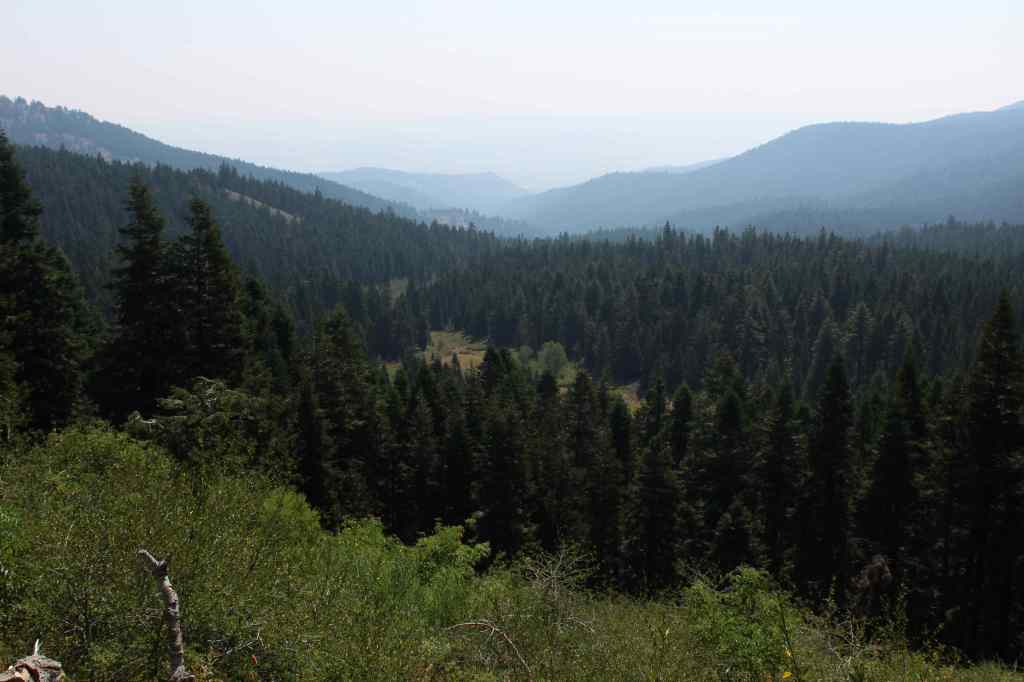
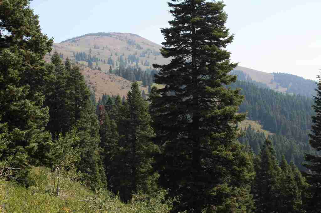
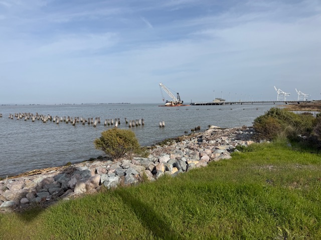
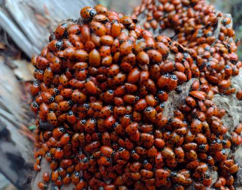
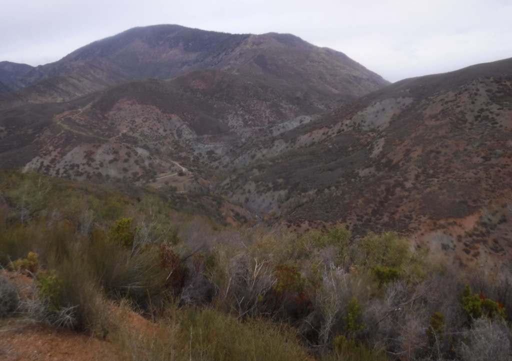
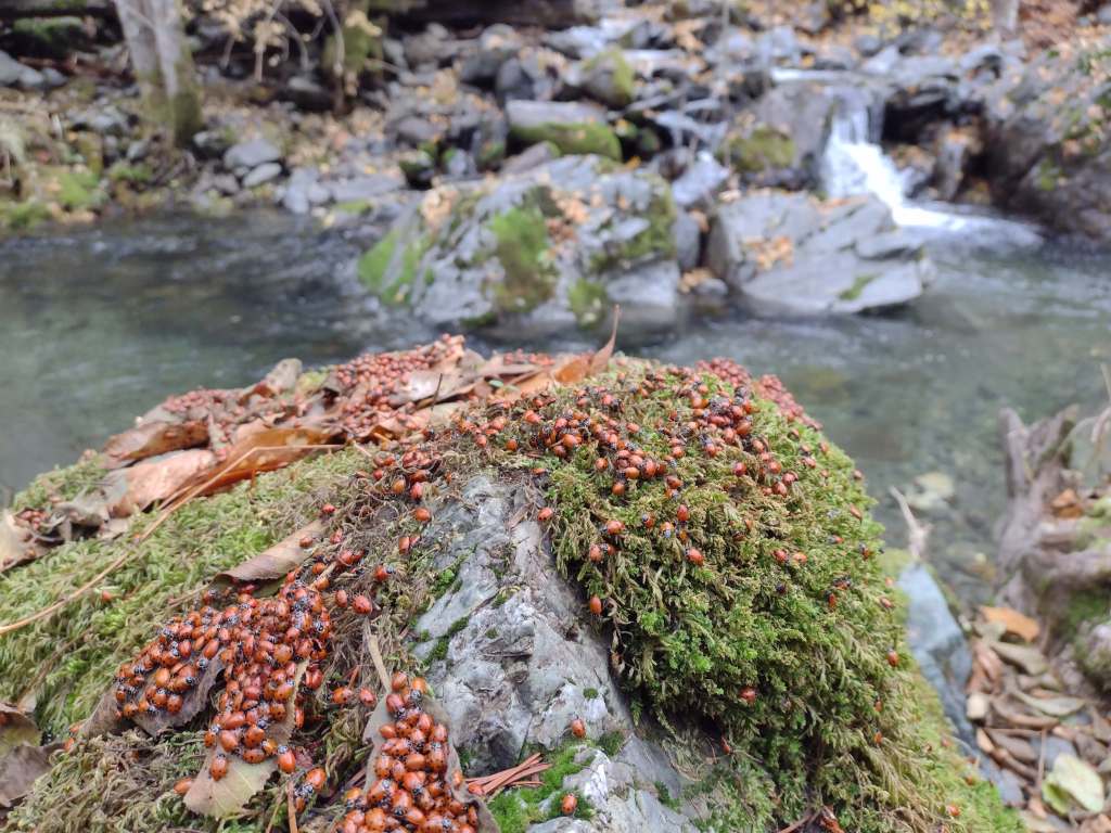
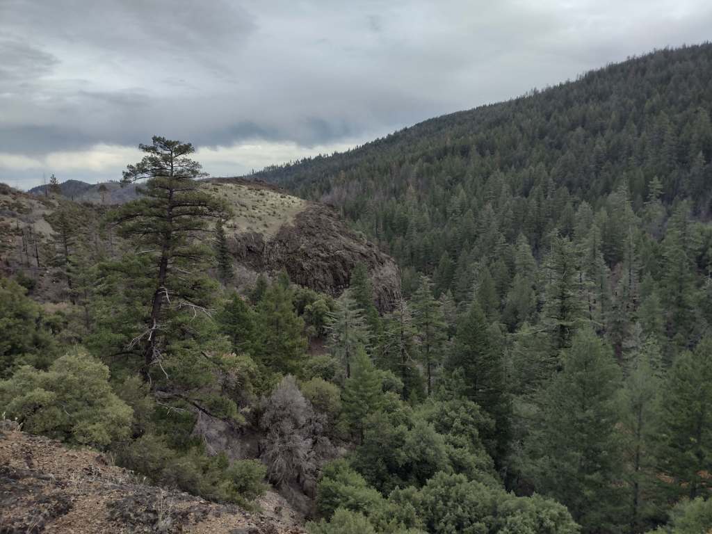
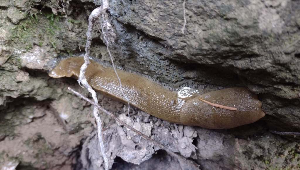
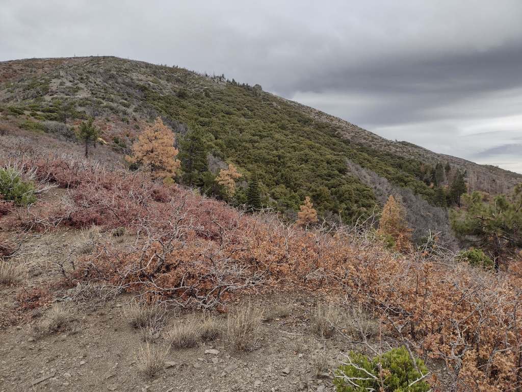
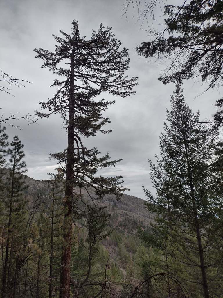
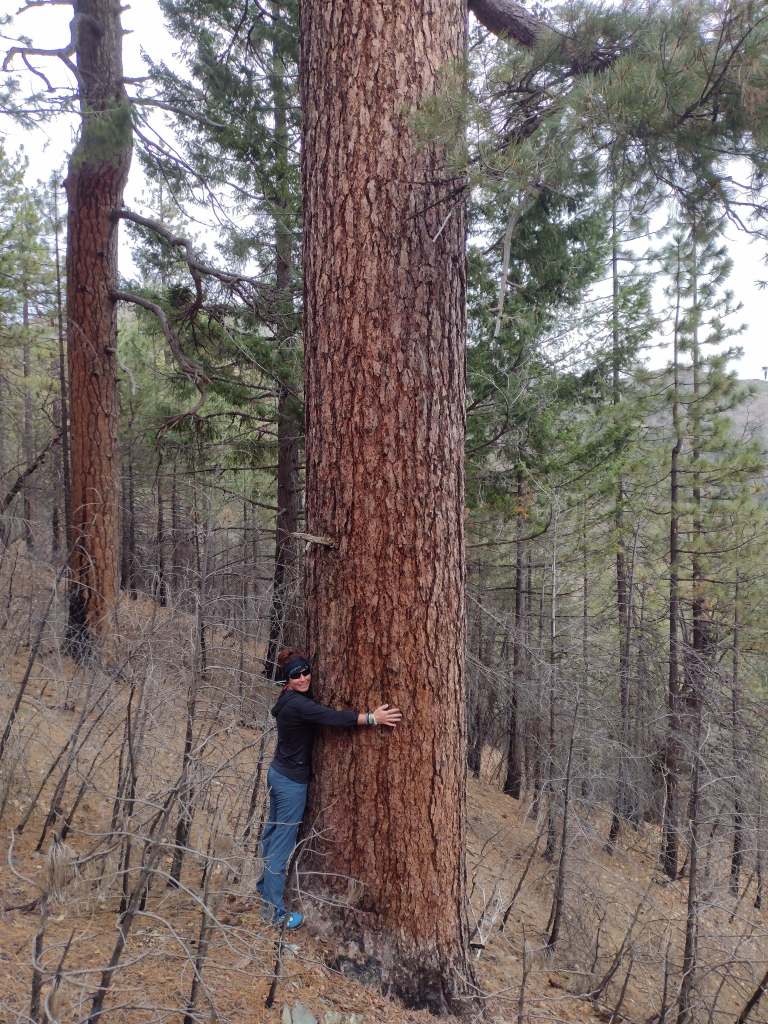
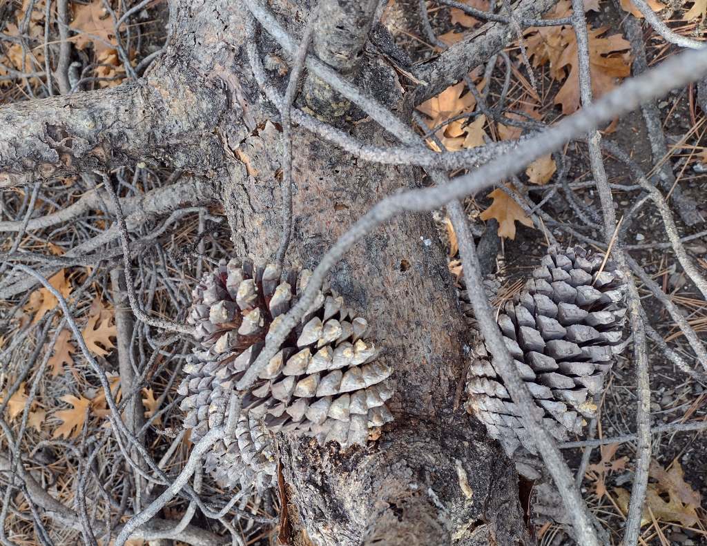
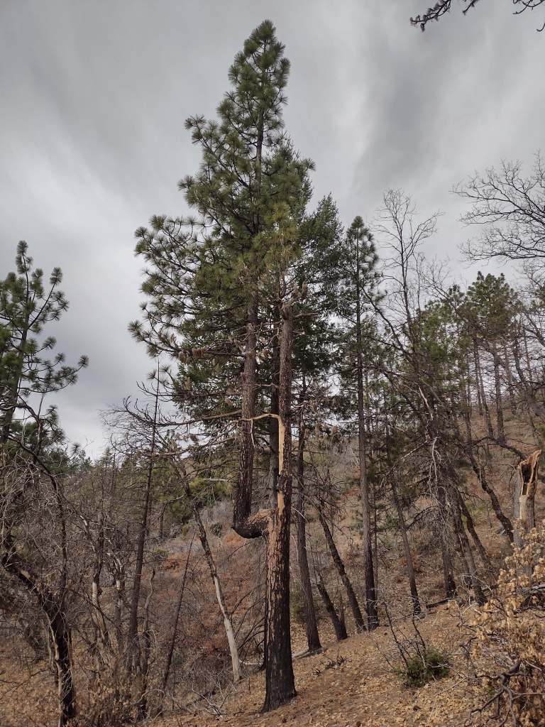
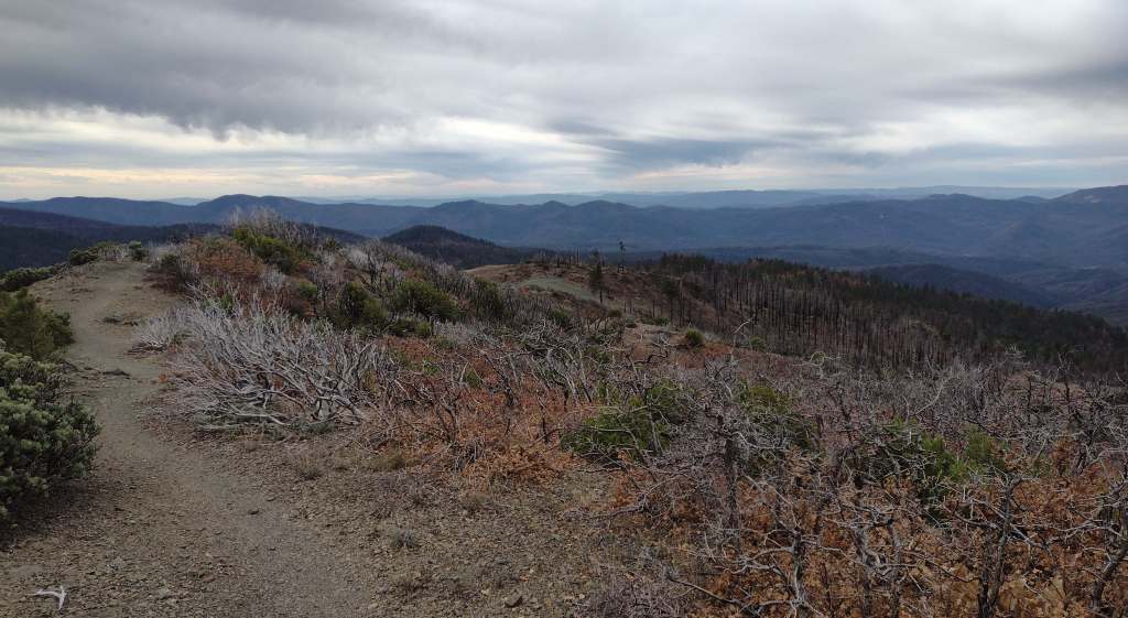
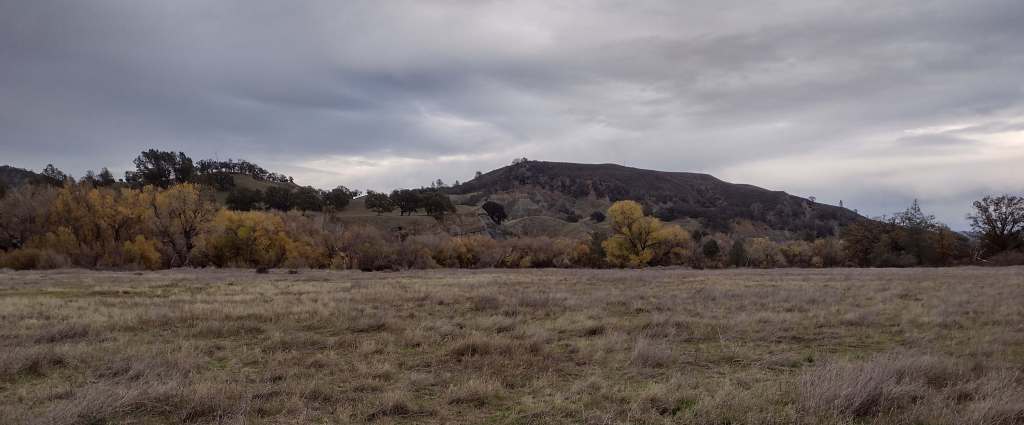
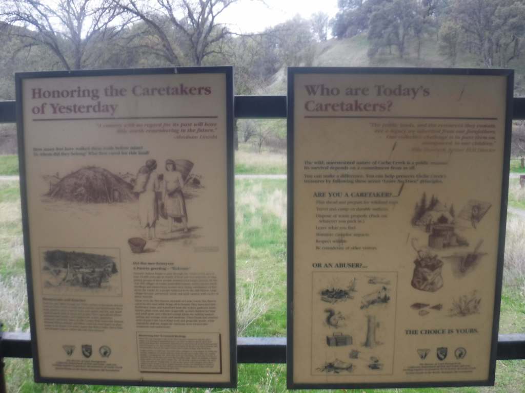
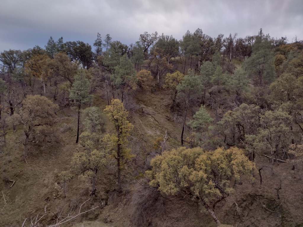
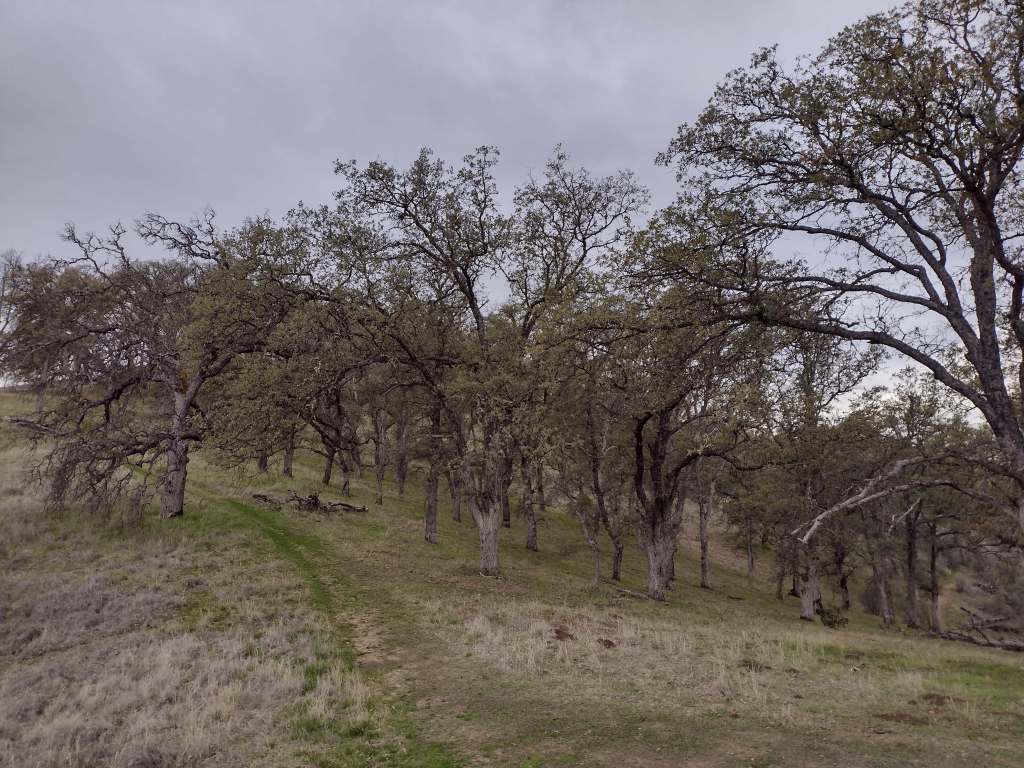
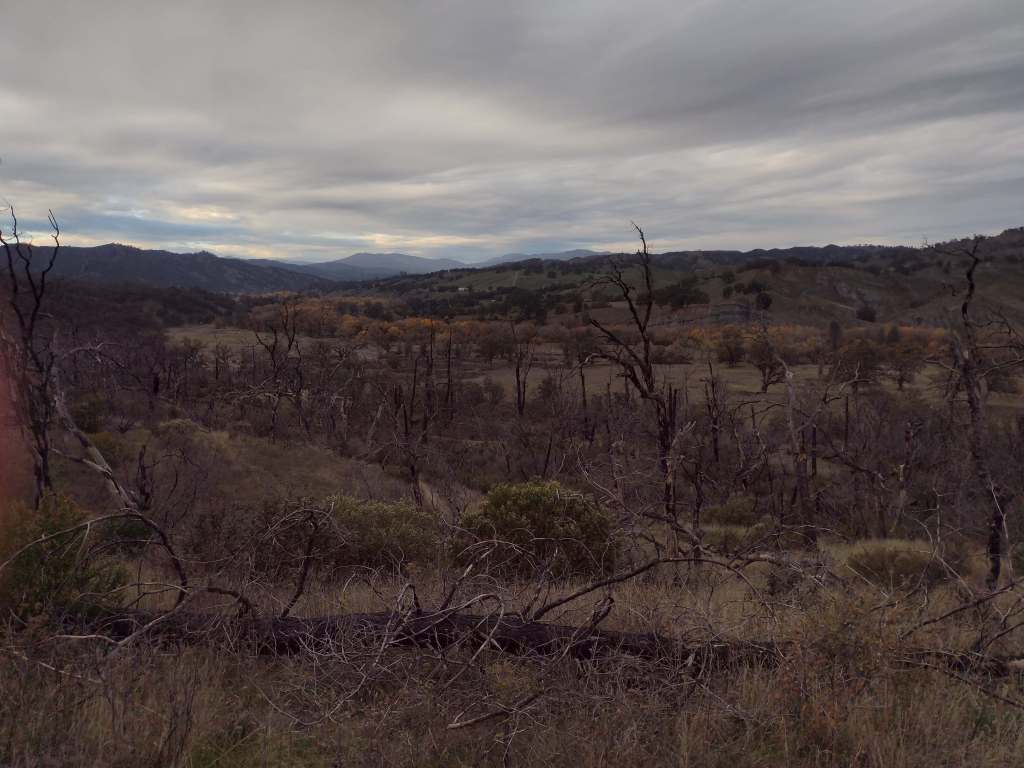
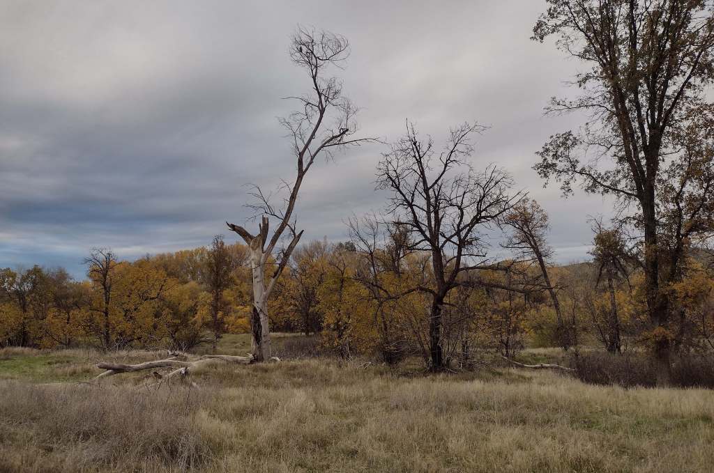
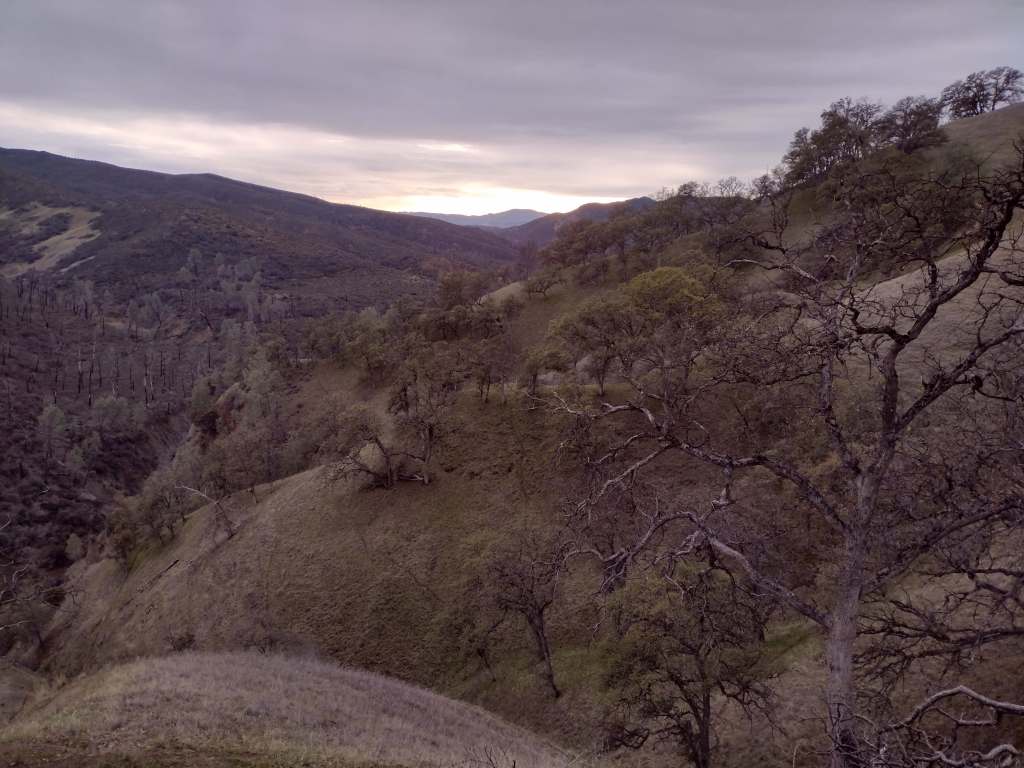
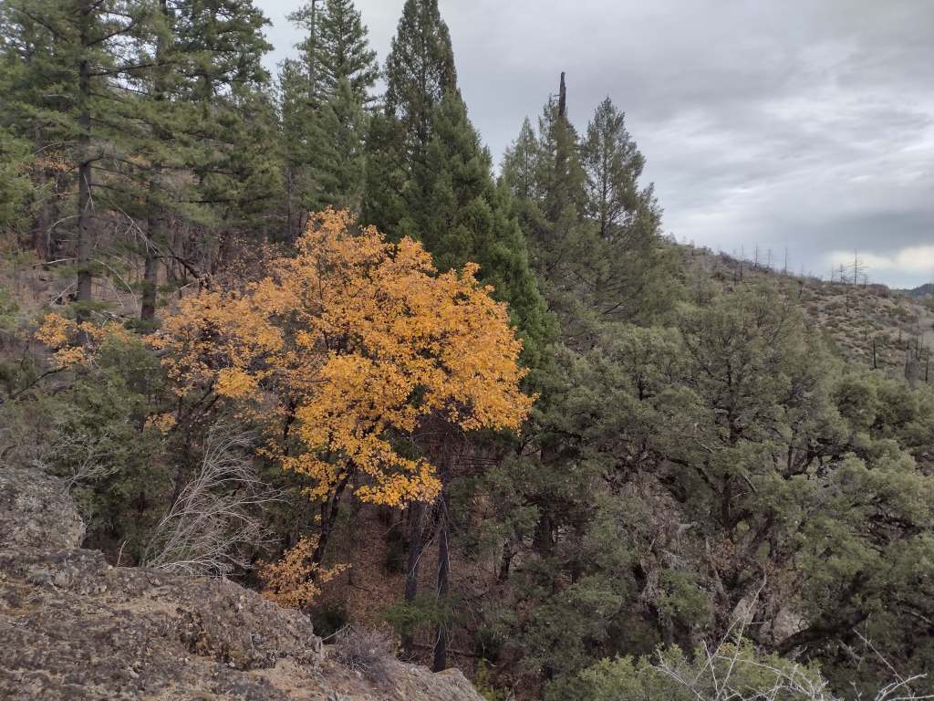
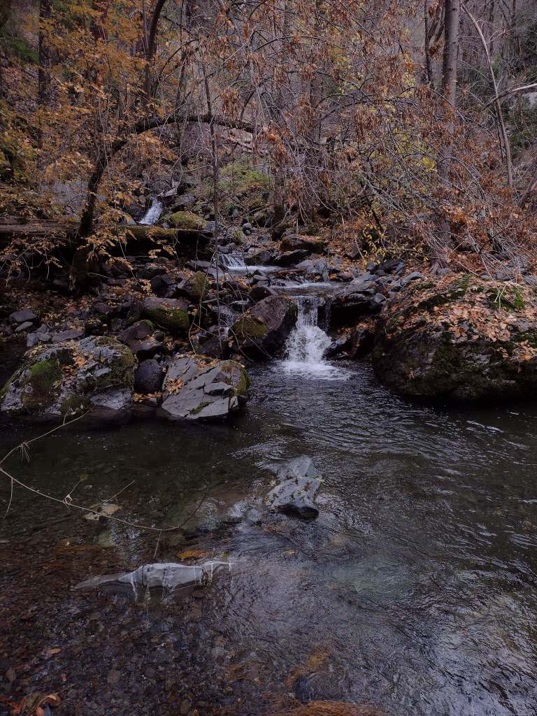
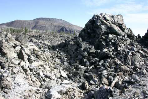
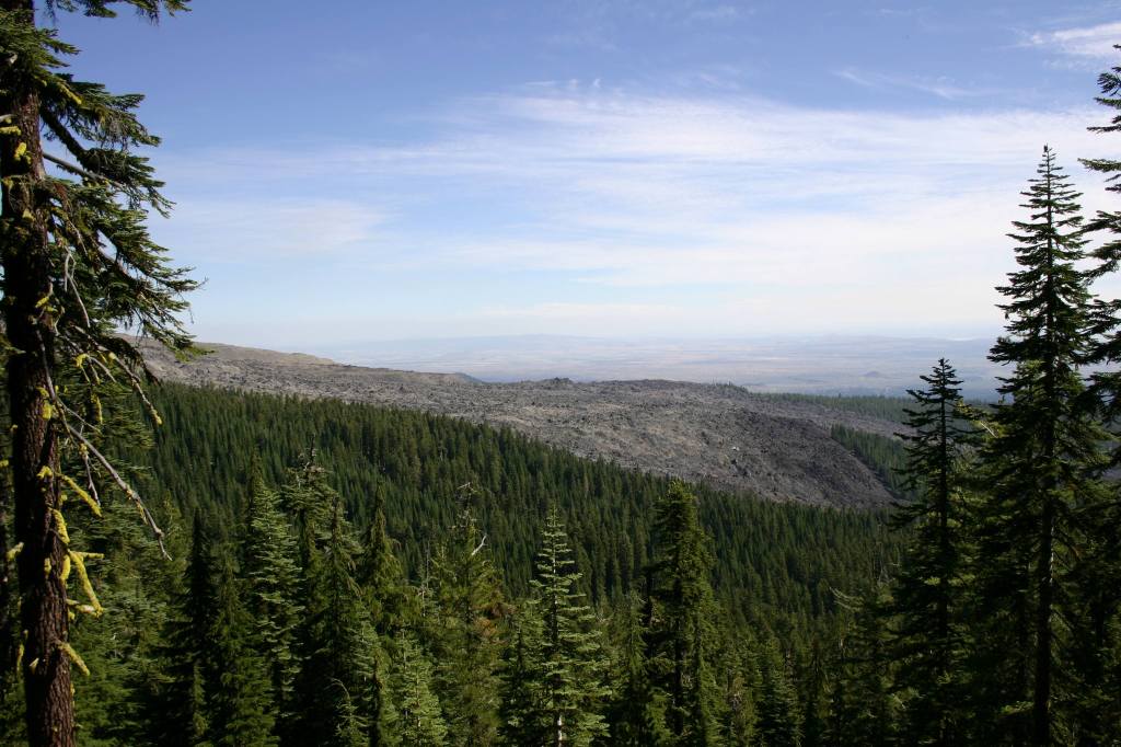
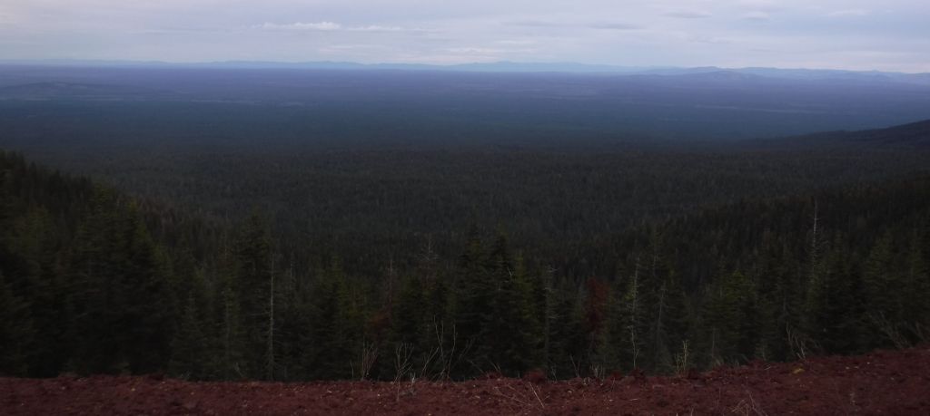
In the northeast corner of California is the largest shield volcano in North America: 7,921-foot Medicine Lake Volcano. Sáttítla Highlands National Monument is spread across Klamath, Shasta, and Modoc National Forests just south of Lava Beds National Monument and features numerous cinder cones and lava fields. Part of the Volcanic Legacy Scenic Byway loops around Medicine Lake, which the Modoc people view as a place of healing. The Pit River Tribe opposed development of geothermal energy sources in this area, spearheading its protection. In the 1960s, NASA astronauts trained at Pumice Crater, four of whom eventually landed on the moon. Sáttítla Highlands National Monument is also important for biodiversity, providing habitat for wildlife species like the Cascades frog, long-toed salamander, and gray-headed pika, as well as numerous fungi, the parasitic sugarstick plant, and Pacific fuzzwort (a rare liverwort).
Know someone who loves exploring new National Monuments? Gift them our book Monumental America: Your Guide to All 138 National Monuments that is available for sale on Amazon.com.
Highlights
Medicine Lake Recreation Area, Giant Crater lava tube, Glass Mountain, Black Lava Butte, Fourmile Hill Tree Molds Geologic Area
Must-Do Activity
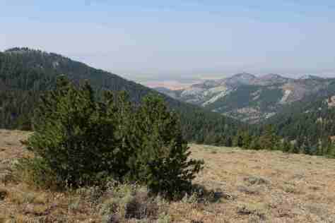
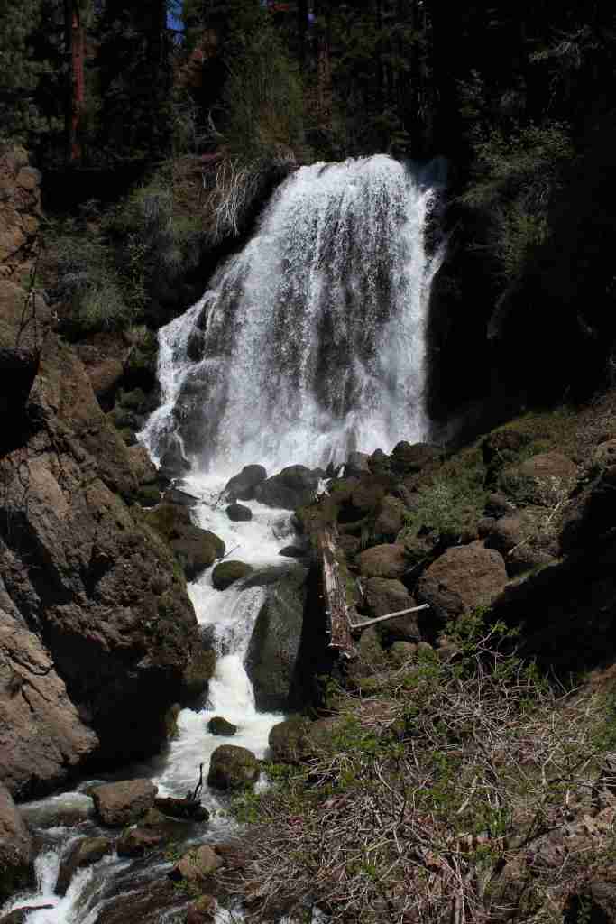
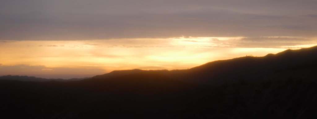
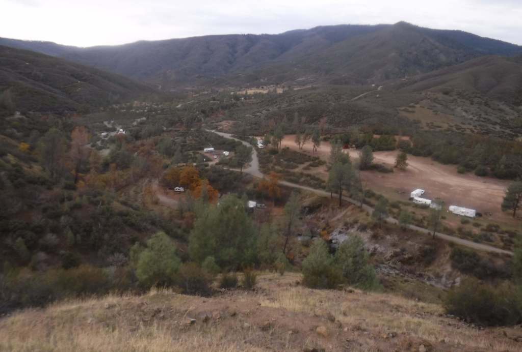
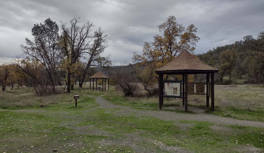
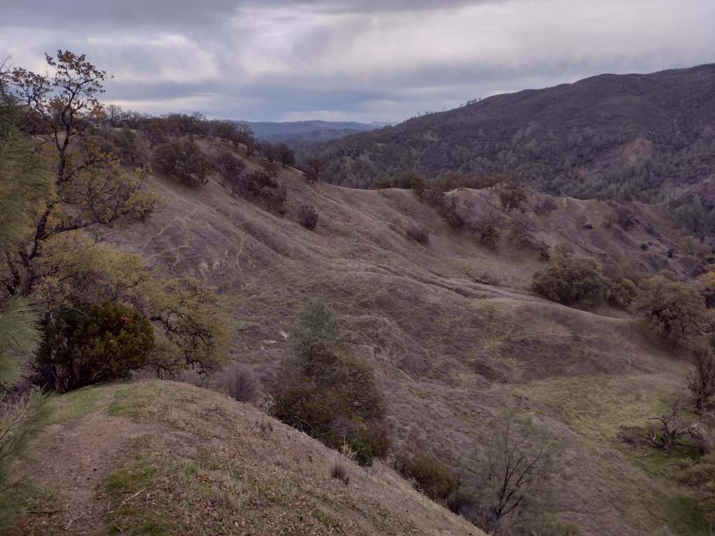
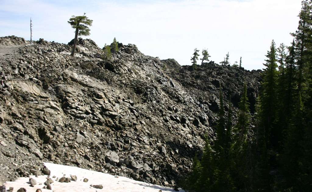
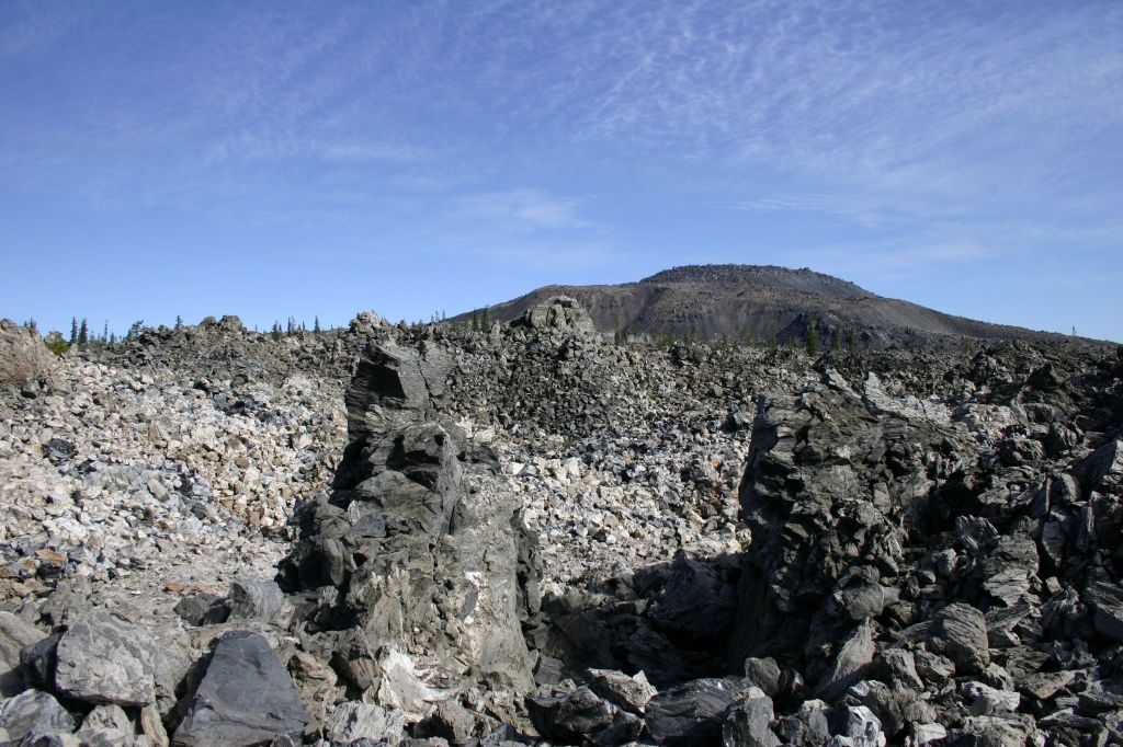
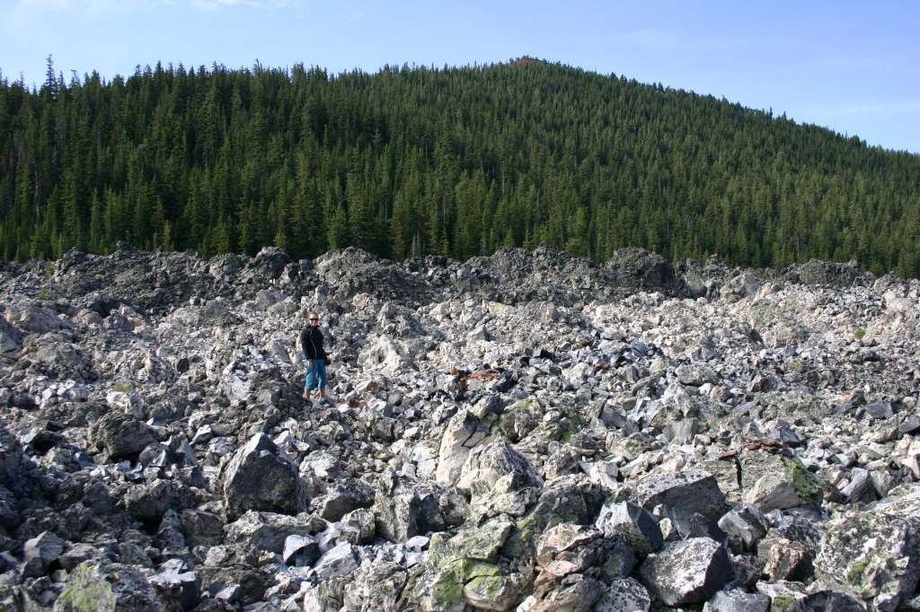
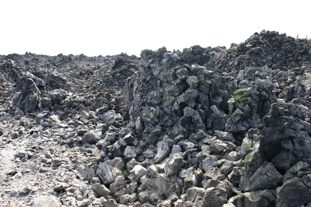
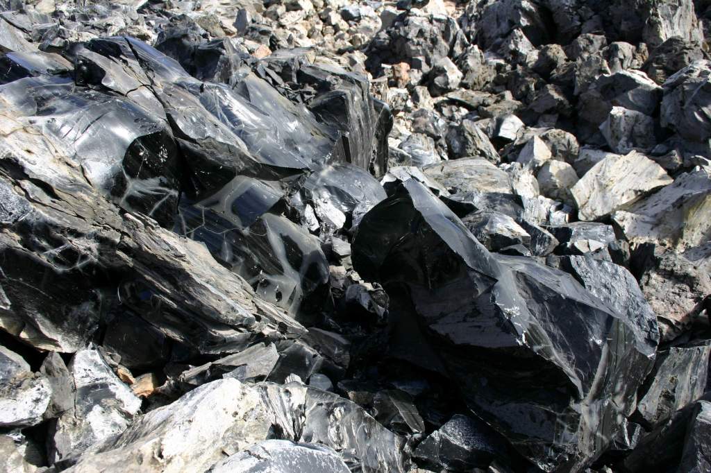
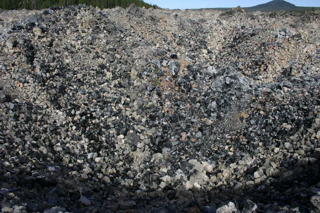
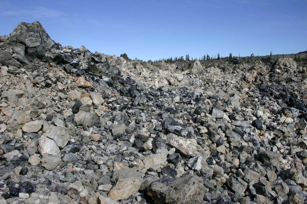
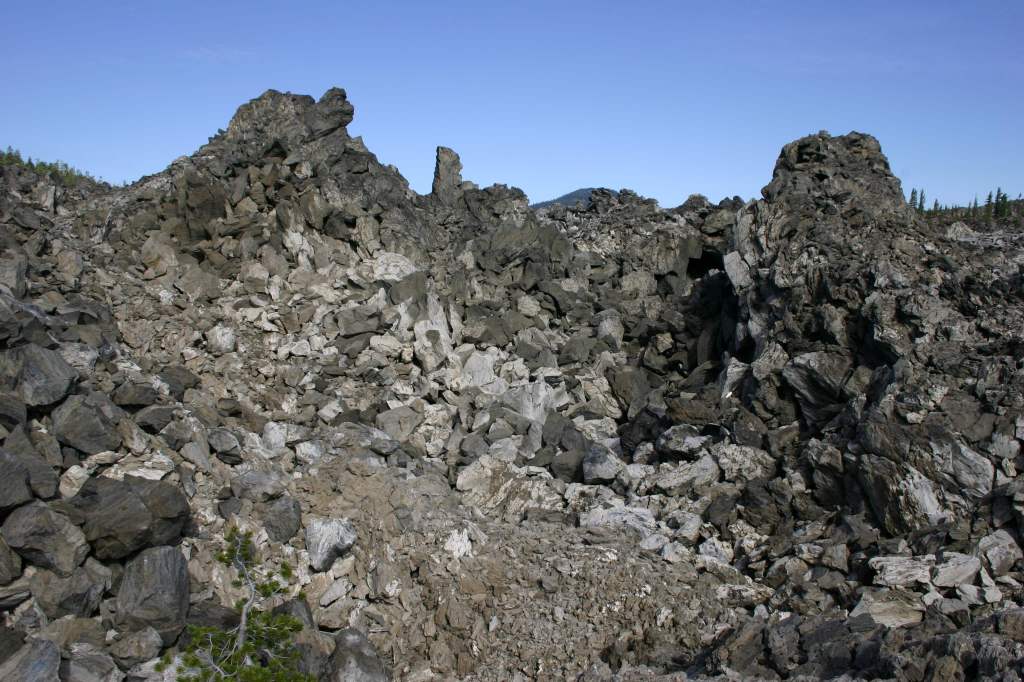
Most of the developed recreation opportunities surround Medicine Lake, which offers boat ramps, trails, and campgrounds. Giant Crater has the longest known lava tube system in the world at 18 miles, although it is partially collapsed. This Geologic Special Interest Area can be accessed two miles off Medicine Lake Road on Forest Road 43N11. Another unpaved road leads up Glass Mountain, which has a crater full of sharp pieces of rhyolite obsidian and glossy dacite. This remote corner of California has some of the darkest skies in the continental U.S., so it is great for stargazing on moonless nights. In the winter, snowmobiling and cross-country skiing are popular activities on groomed trails.
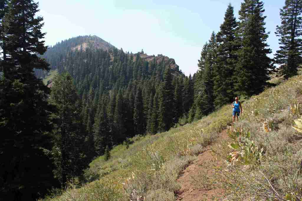
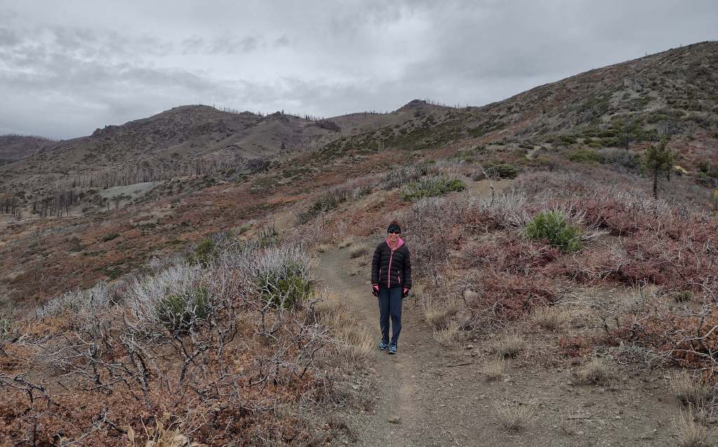
Best Trail
There is a 4.4-mile loop around Medicine Lake, as well as the one-mile out-and-back Medicine Lake Glass Flow Trail that gains 68 feet of elevation on the north shore. For a more challenging route, Little Mt. Hoffman Trail gains 666 feet over three miles to the fire lookout, which can be rented overnight. Summitting the actual Mt. Hoffman is over 13 miles roundtrip with a 2,000-foot cumulative climb.
Photographic Opportunity
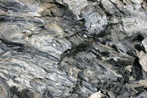
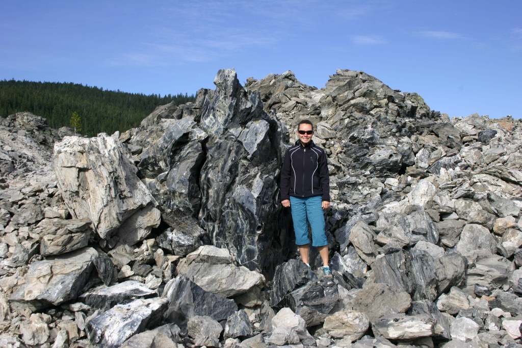
Sáttítla literally translates as “obsidian place” and the volcanic glass prevalent at Glass Mountain has provided humans sharp blades for at least 5,000 years.
Peak Season
Summer
Fees
$5 per vehicle (or the America the Beautiful Pass) at Medicine Lake
Road Conditions
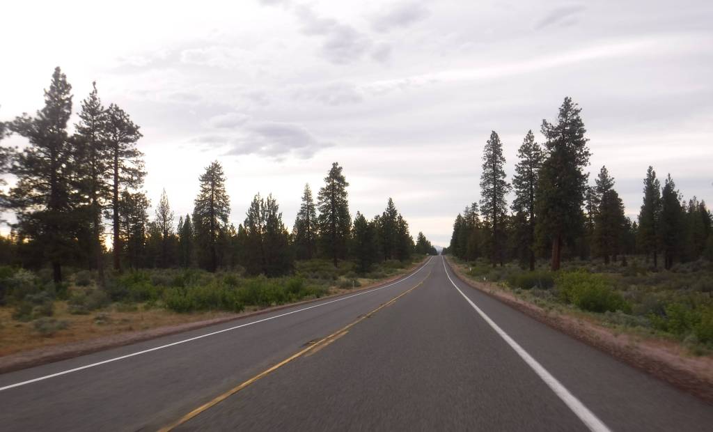
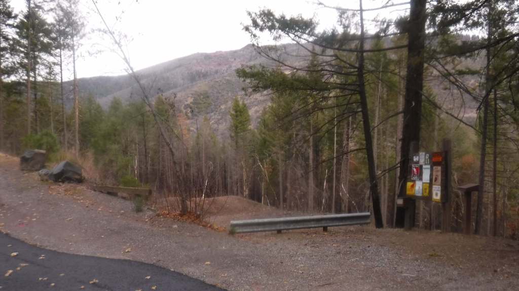
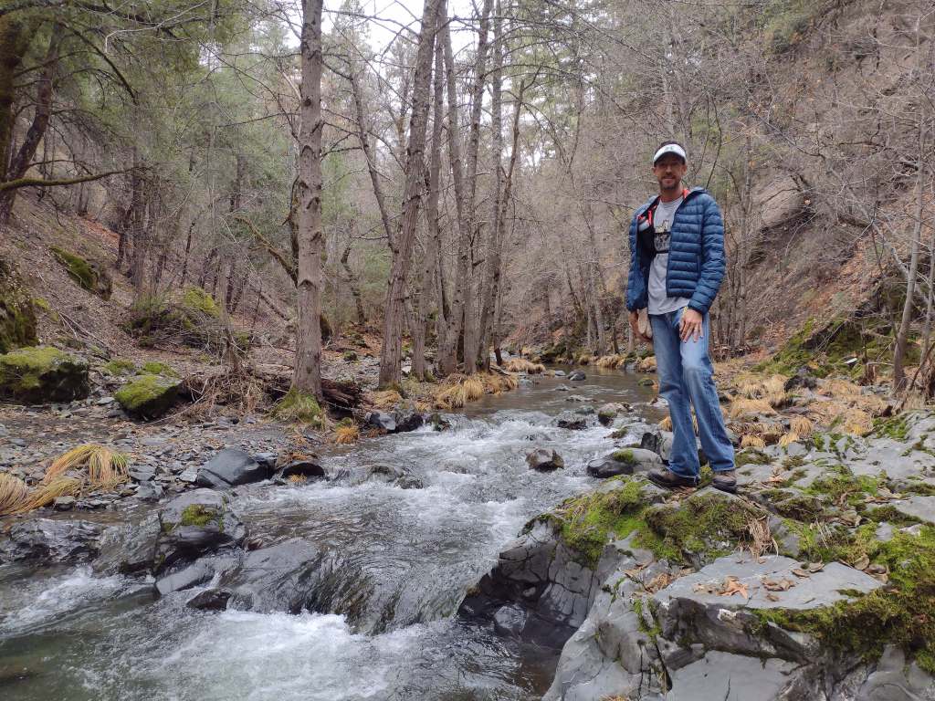
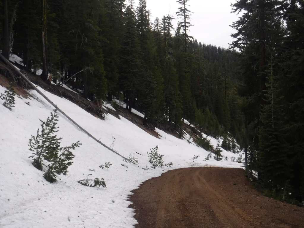
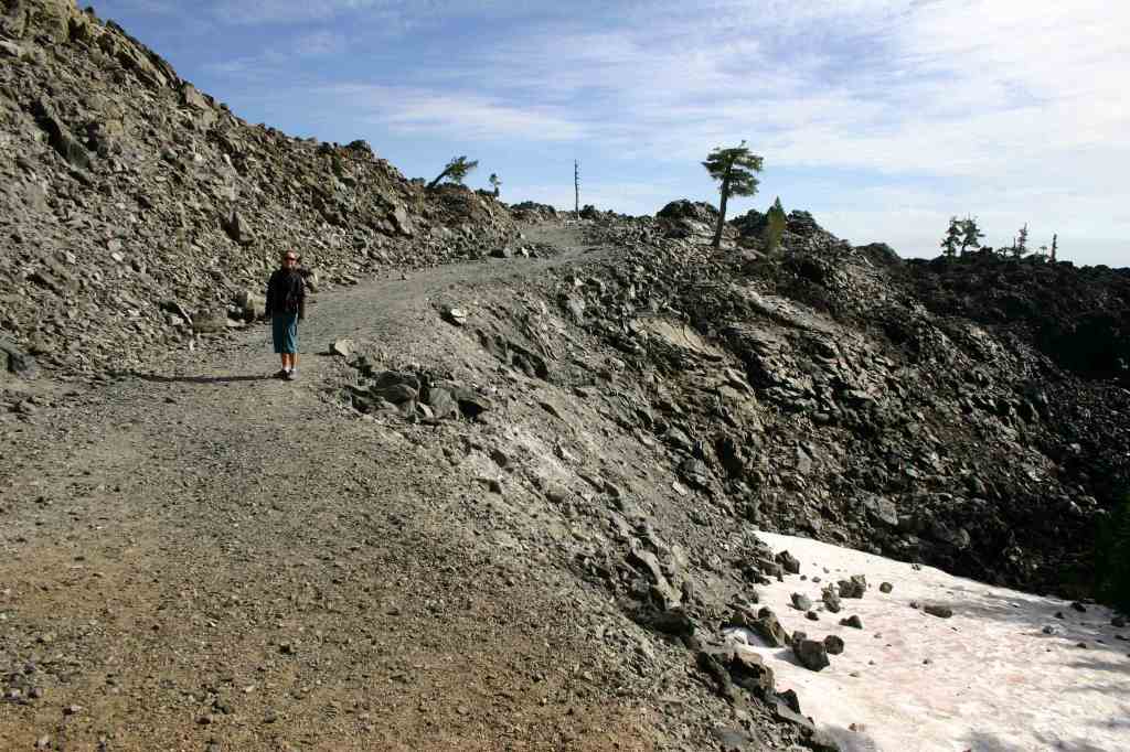
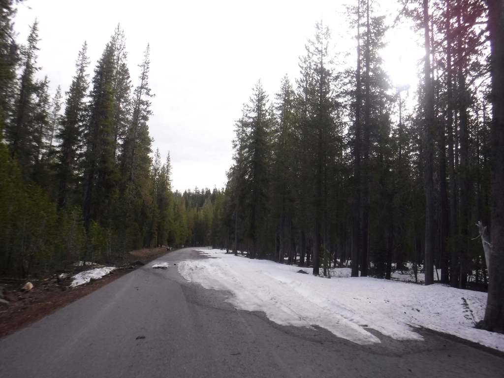
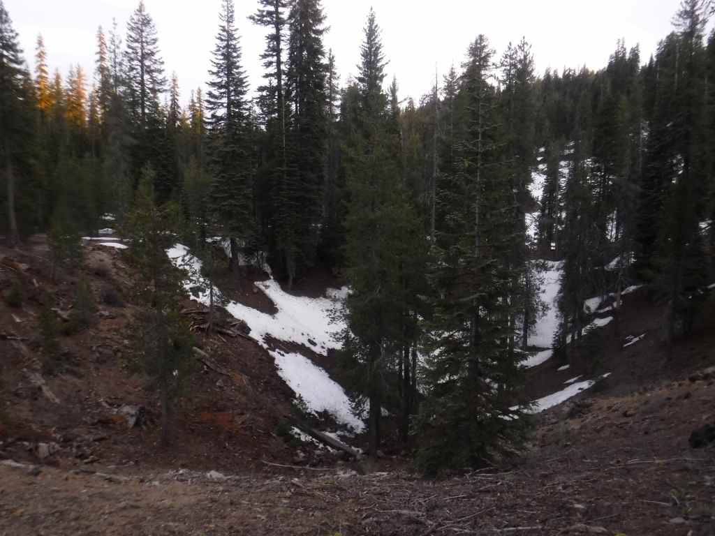
This area receives abundant winter snowfall, and roads can be blocked by snow into July, which we experienced trying to get to Glass Mountain. The road to Medicine Lake is paved, but almost every other road through the National Monument is unpaved, some requiring a high-clearance vehicle.
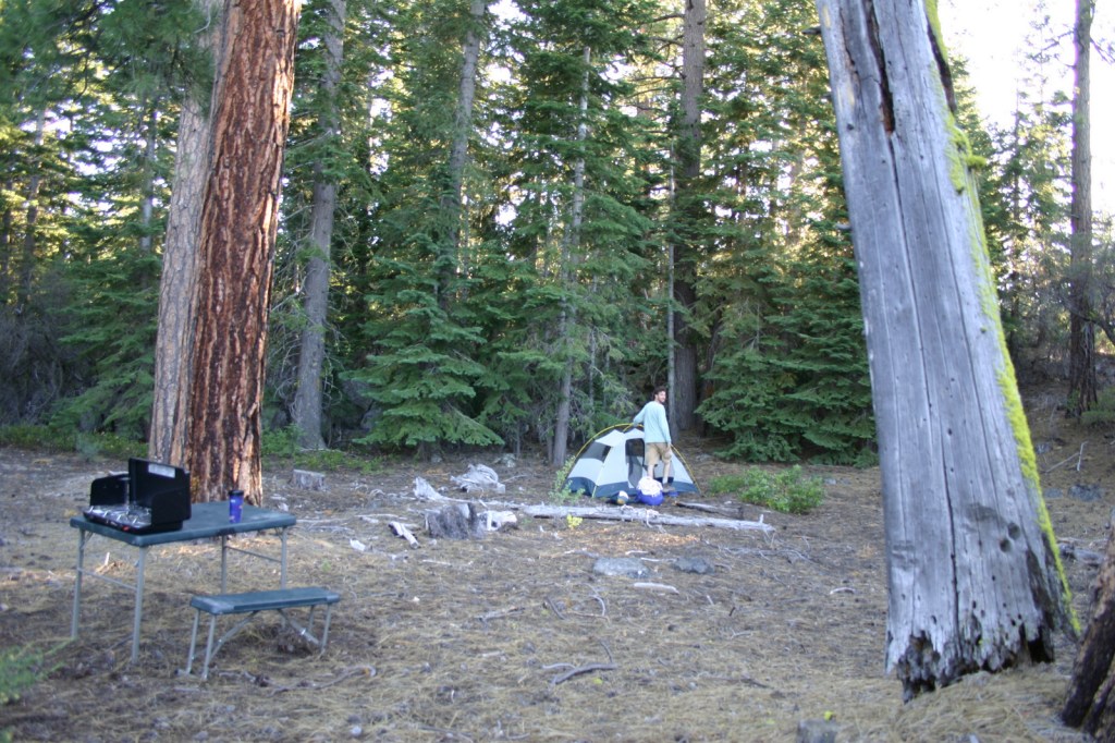
Camping
There are multiple Forest Service campgrounds on Medicine Lake, plus two nearby at Blanche Lake and Bullseye Lake. Dirt roads in Modoc, Shasta, and Klamath National Forests have ample dispersed camping opportunities.
Related Sites
Lava Beds National Monument (California)
Tule Lake National Monument (California)
Lassen National Forest (California)
Berryessa Snow Mountain National Monument (California)
Nearest National Park
Explore More – Sáttítla translates as “obsidian place” from which indigenous language?

Learn more about the other 137 National Monuments in our book Monumental America: Your Guide to All 138 National Monuments