Tag Archives: wildlife

Yellowstone National Park

Wyoming, Montana, Idaho

Managed by National Park Service

Established 1872

2,221,766 acres

Website: nps.gov/yell

Overview

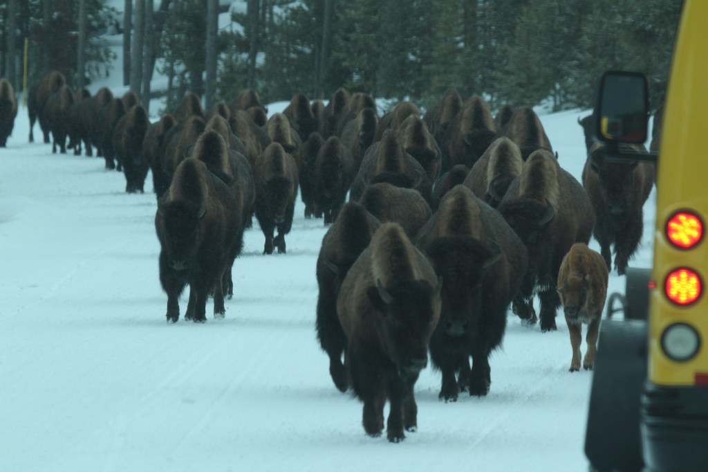
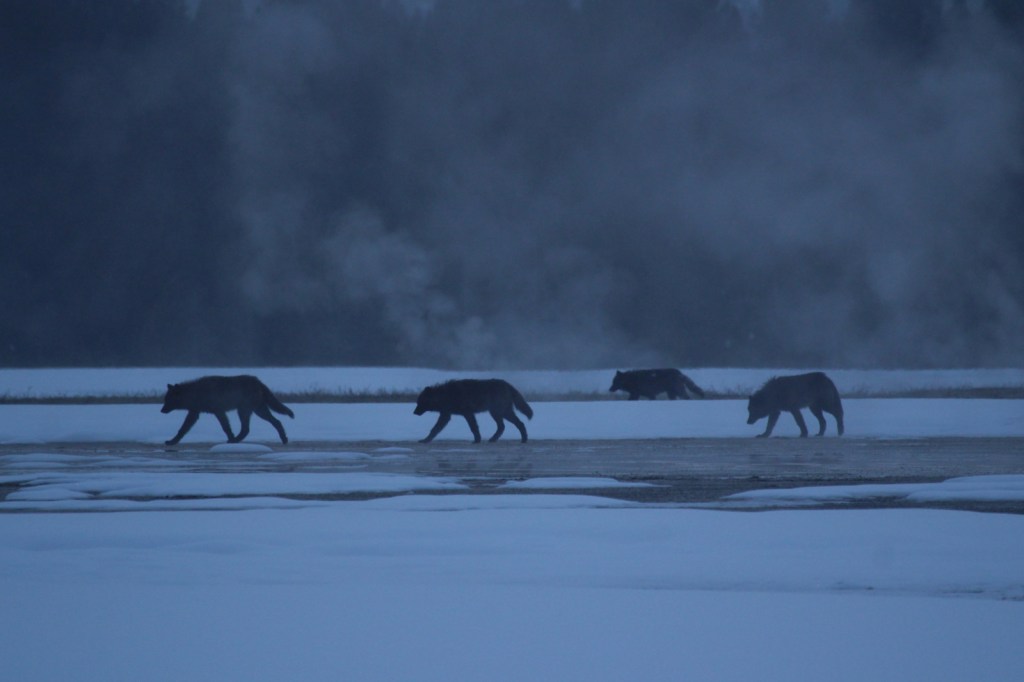
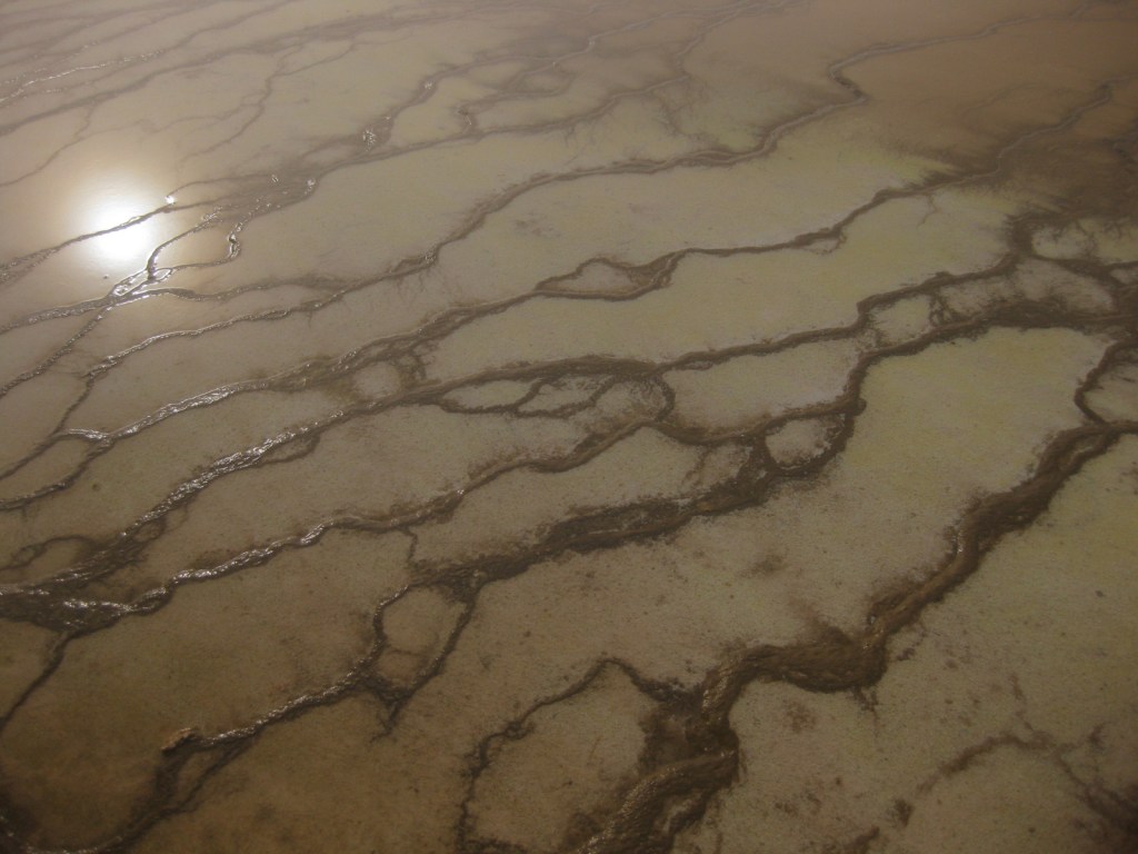
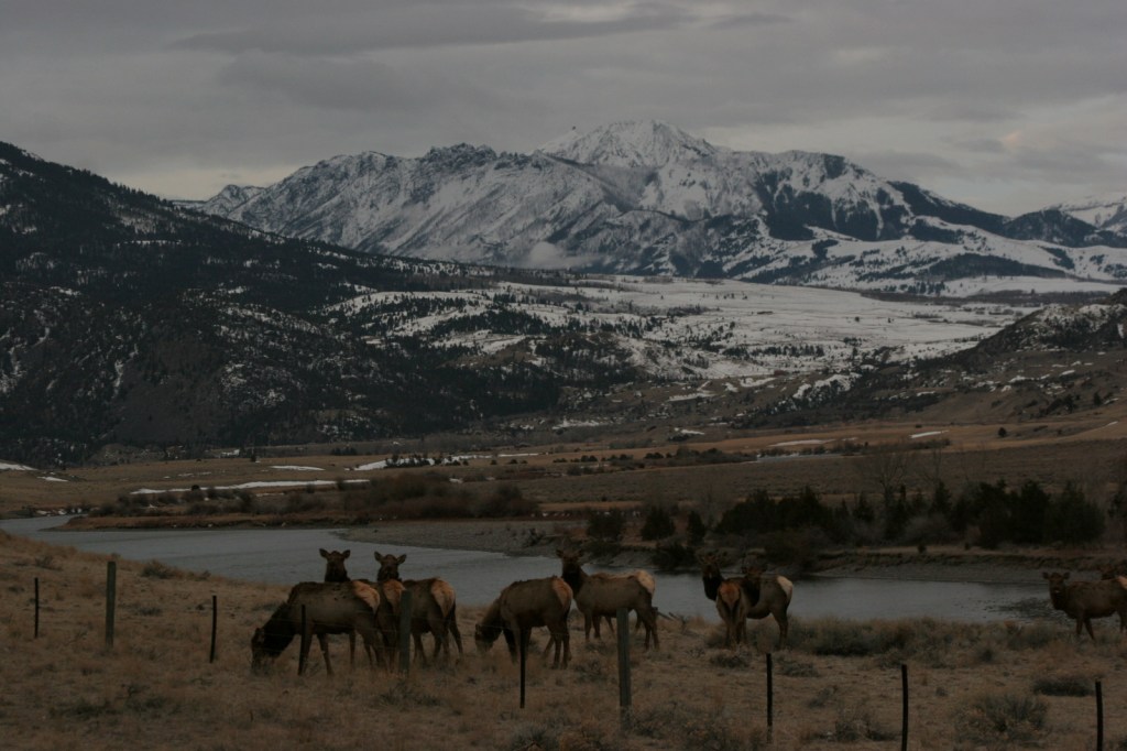
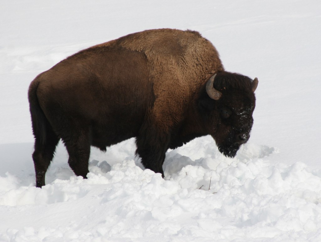
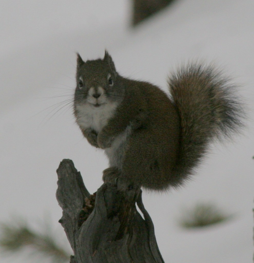
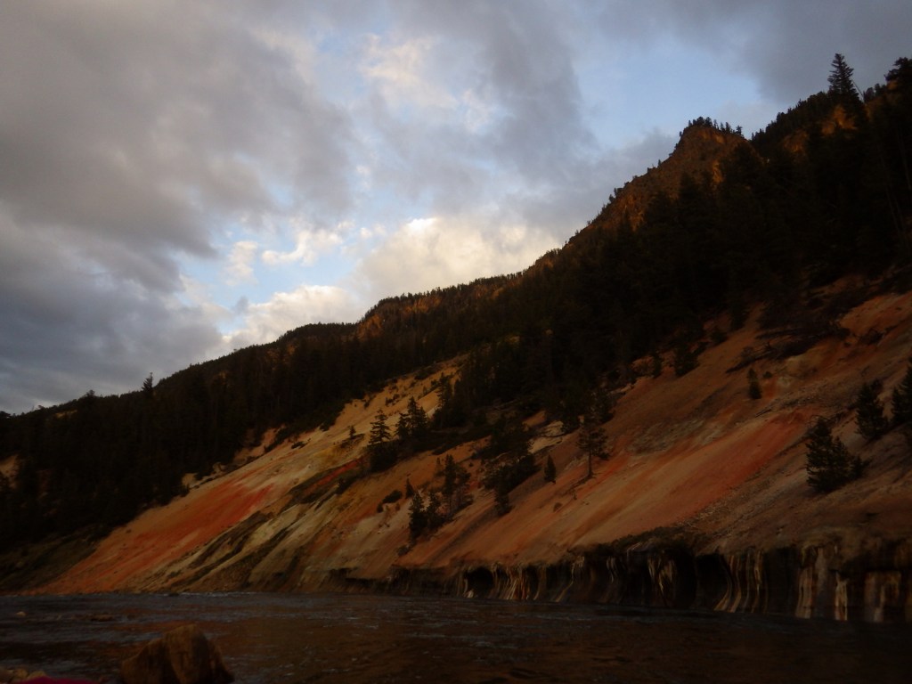
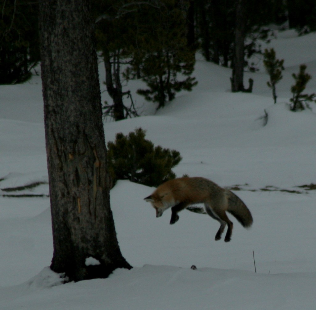
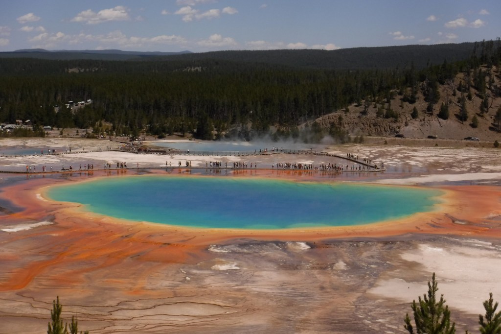
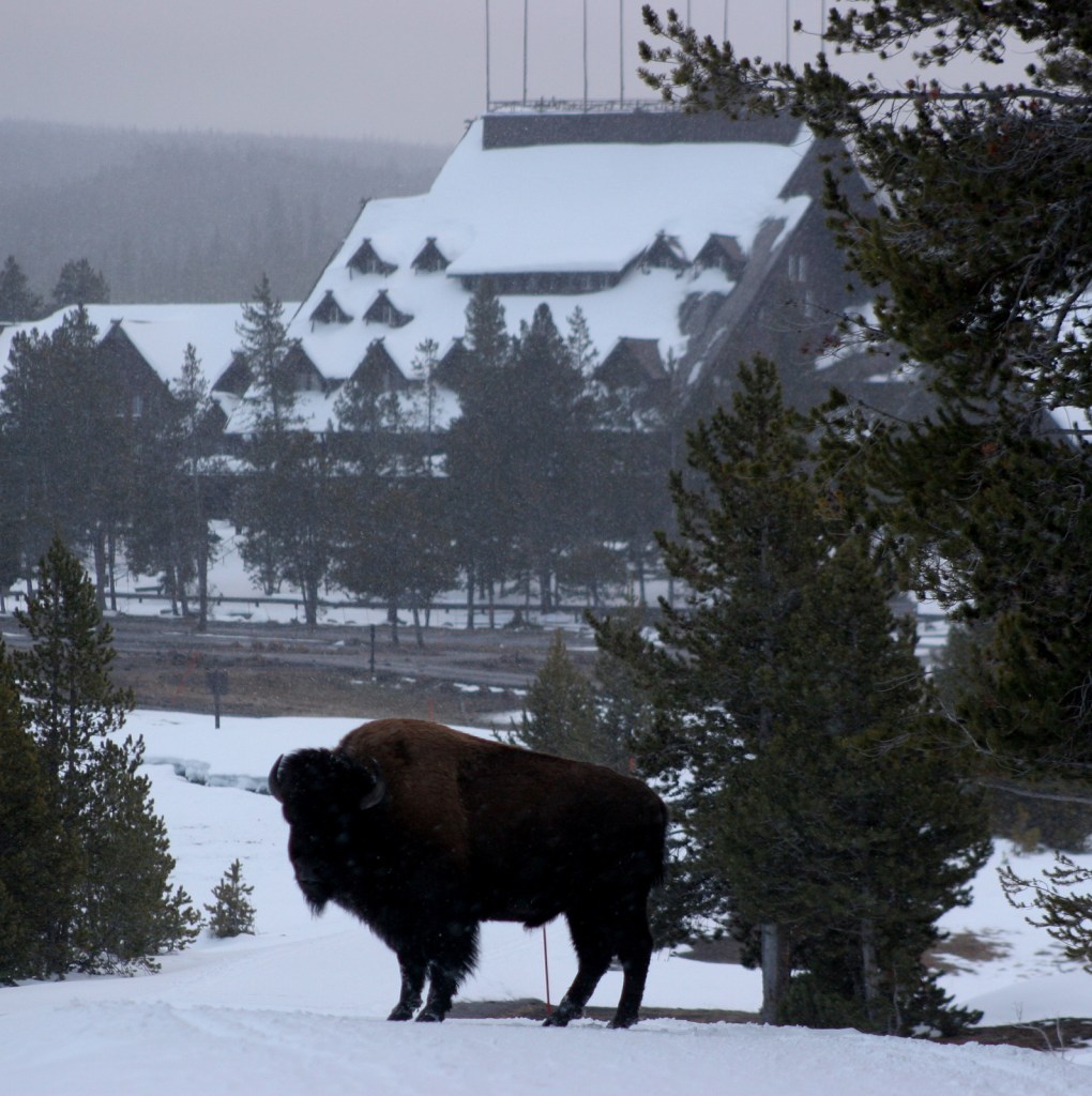
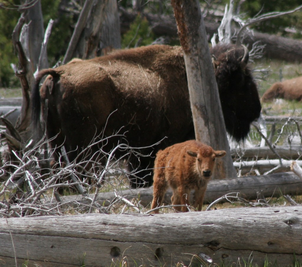
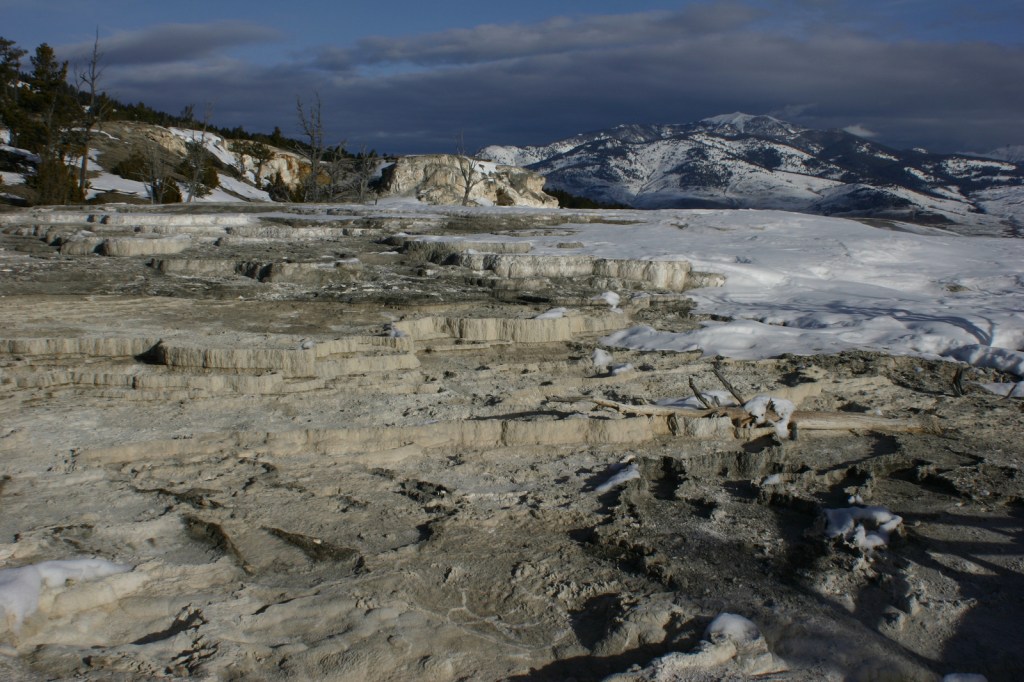
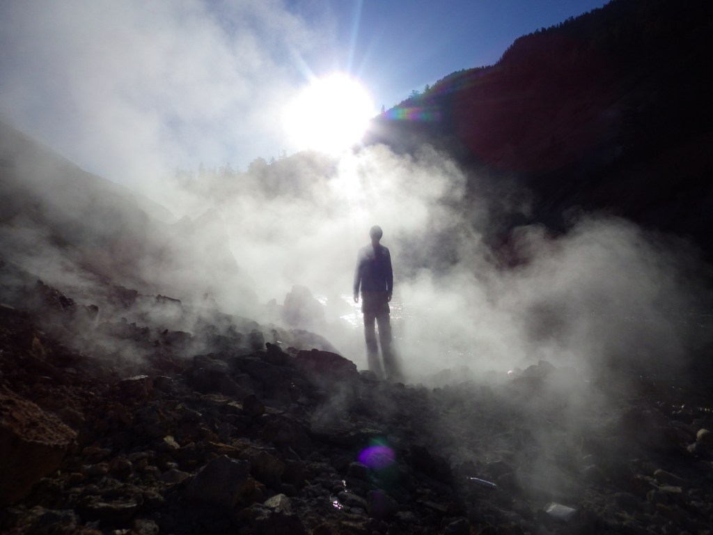
The geothermal features here inspired the creation of the world’s first official “National Park” in 1872.   Most of Yellowstone is actually a supervolcano where the magma heats up underground water producing 10,000 hot springs, fumaroles, and mudpots on the surface, as well as 300 geysers.  Incredibly, over 50% of the geysers in the world occur within this one park, which is equally famous for its wildlife diversity, including grizzly bears, bison, gray wolves, and elk.

Learn more about how to visit this National Park in the expanded second edition of our guidebook A Park to Yourself: Finding Solitude in America’s 63 National Parks. 

Yellowstone3

Highlights

Old Faithful geyser, Grand Prismatic Spring, Norris Geyser Basin, Mammoth Hot Springs, Grand Canyon of the Yellowstone, countless waterfalls, wildlife in Lamar Valley, Mt. Washburn, Continental Divide National Scenic Trail

Must-Do Activity

The most famous geyser here is Old Faithful, which can shoot water up to 185 feet in the air.  Since the occurrence of several earthquakes it is no longer as consistent as its name suggests, but its eruptions can be accurately predicted every 60 to 110 minutes throughout the day.  Arrive early to get a seat or take the trail up the nearby hill to watch it from above.  Afterwards, hike the boardwalks through colorful Upper Geyser Basin.

Best Trail

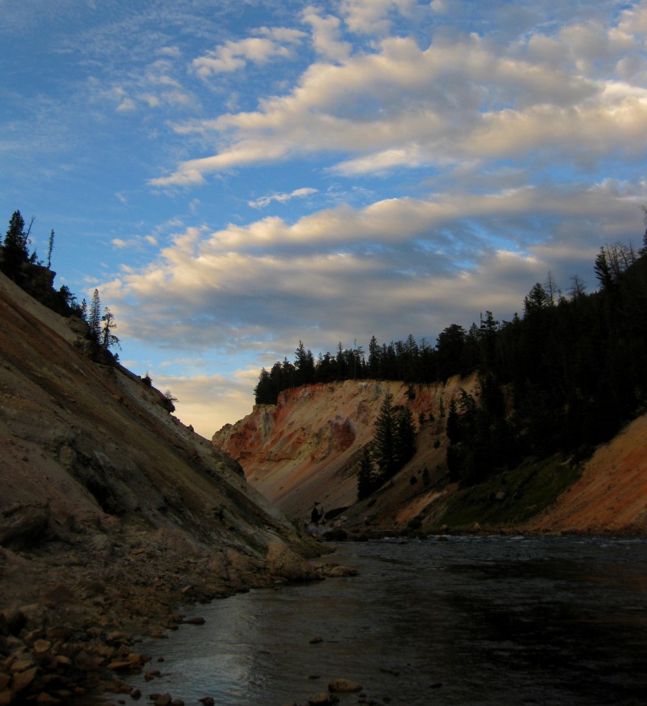
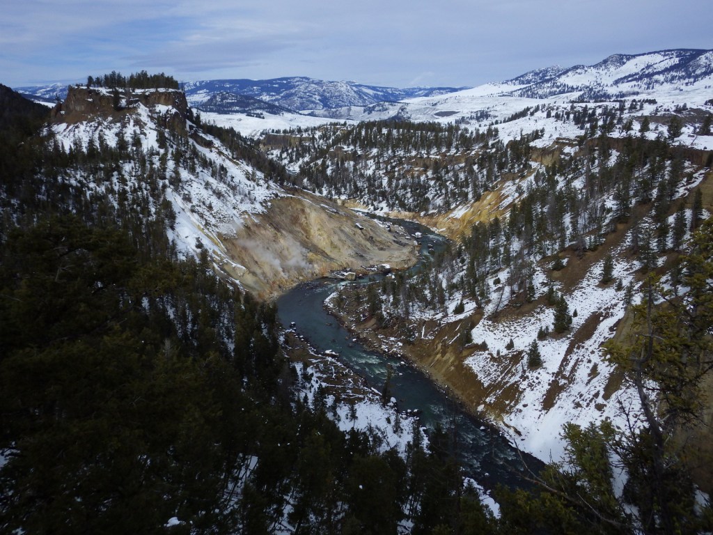
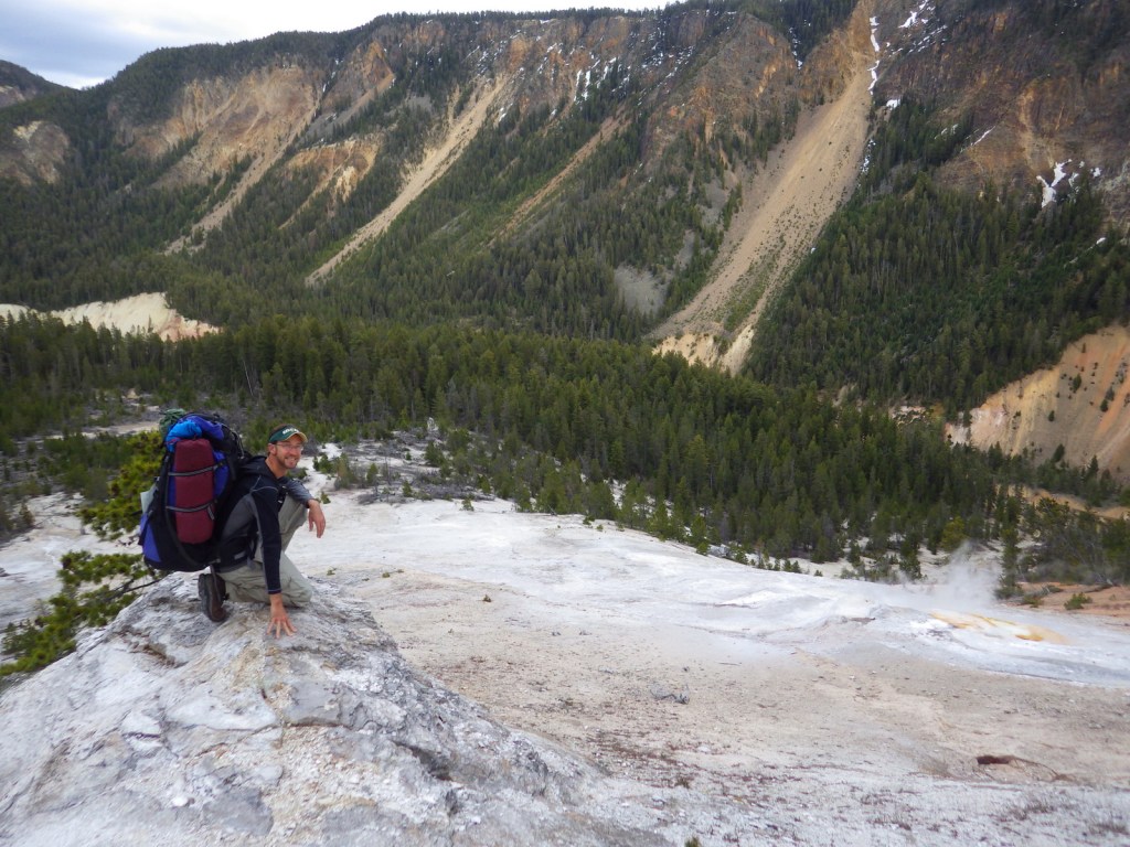
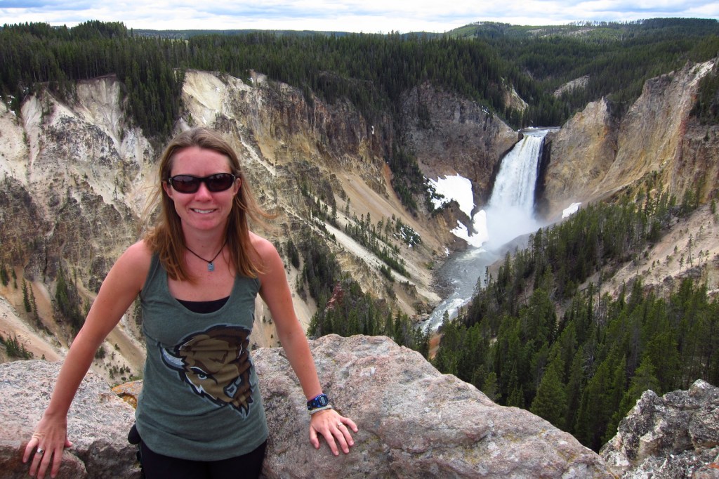
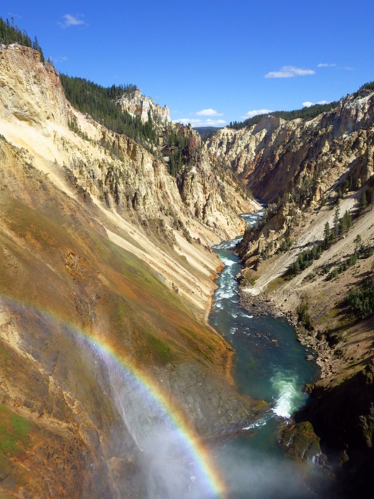
A hike into the Grand Canyon of the Yellowstone on Glacial Boulder Trail is one way to find the solitude lacking at the drive-up overlooks (you should still hike to the Brink of Lower Falls with the crowds).  Instead of staying in the packed campgrounds, consider getting a permit to backpack camp in the canyon.

Instagram-worthy Photo

The trail is steep, but paved down to the Brink of Lower Falls on the Yellowstone River for unforgettable view of the canyon, especially on sunny days when a rainbow appears in the spray.
2015YellowstoneNP4

Peak Season

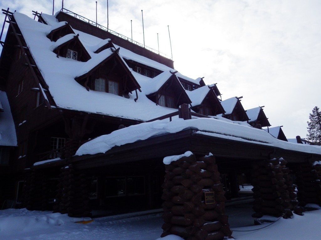
Summer, but Old Faithful Village can seem busy in the winter with all the snowmobiles during the day.

Hours

https://www.nps.gov/yell/planyourvisit/hours.htm

Fees

$35 per vehicle or America the Beautiful pass

Road Conditions

Very few roads are not paved, but the majority close for seven months in the winter.

Camping

There are many campgrounds in the park, but they fill up quickly the summer (especially at primitive Slough Creek).  The surrounding National Forests offer campgrounds and dispersed sites as well.  We have enjoyed backpacking at designated campsites in the park with a permit, especially in the Grand Canyon of the Yellowstone.

Related Sites

Grand Teton National Park (Wyoming)

Gallatin National Forest (Montana)

Fossil Butte National Monument (Wyoming)
LR YELL
This design we created to celebrate Yellowstone National Park is available on a variety of products at Cafe Press and Amazon.

Explore More – How many of the park’s 4-million annual visitors arrive in June, July, and August?

Know someone who loves National Parks? Gift them our travel guidebook A Park to Yourself: Finding Solitude in America’s 63 National Parks. 

Big Bend National Park

Overview

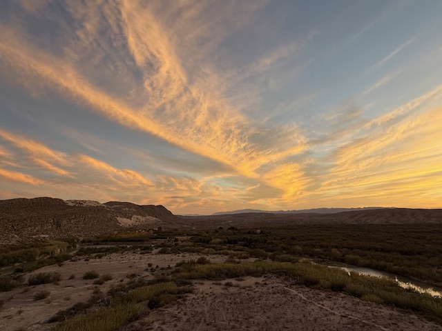
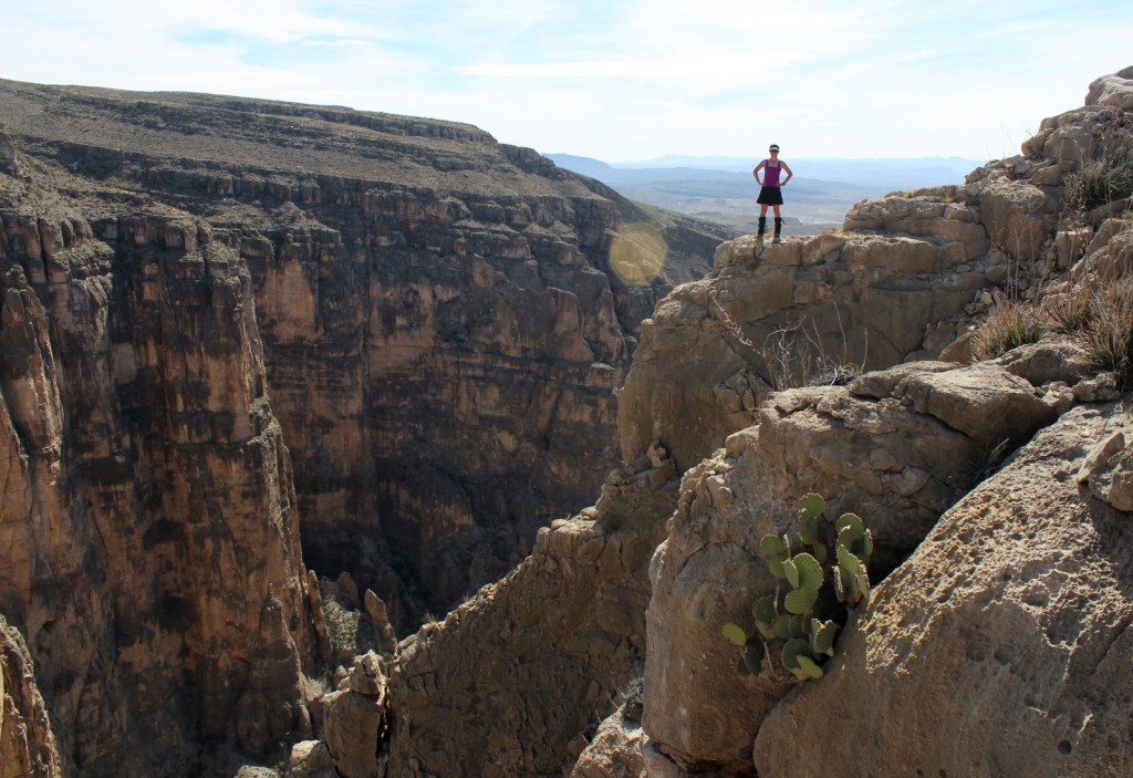
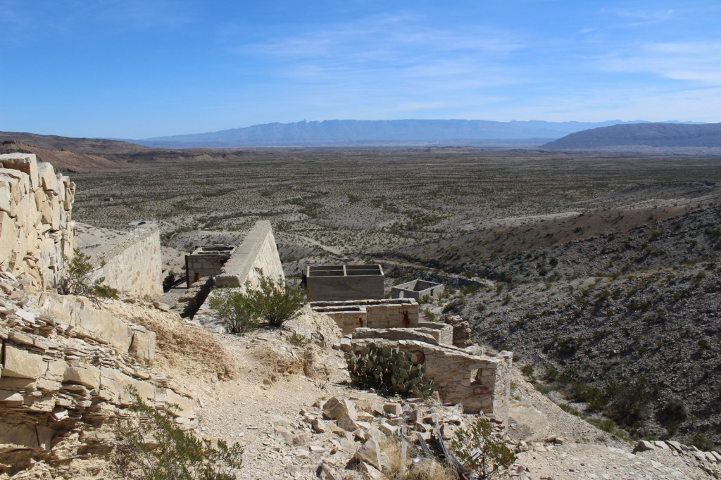
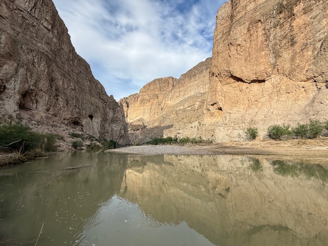
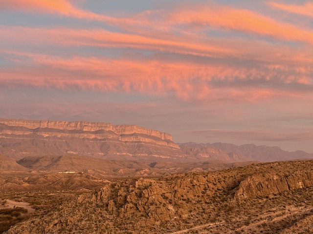
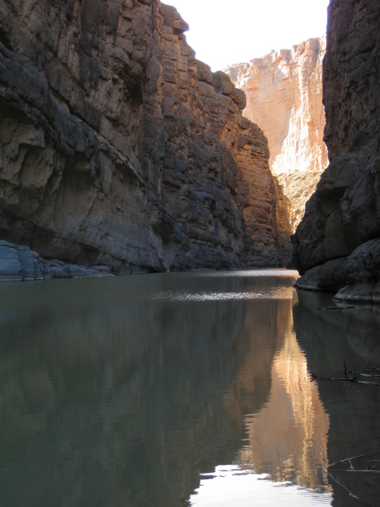
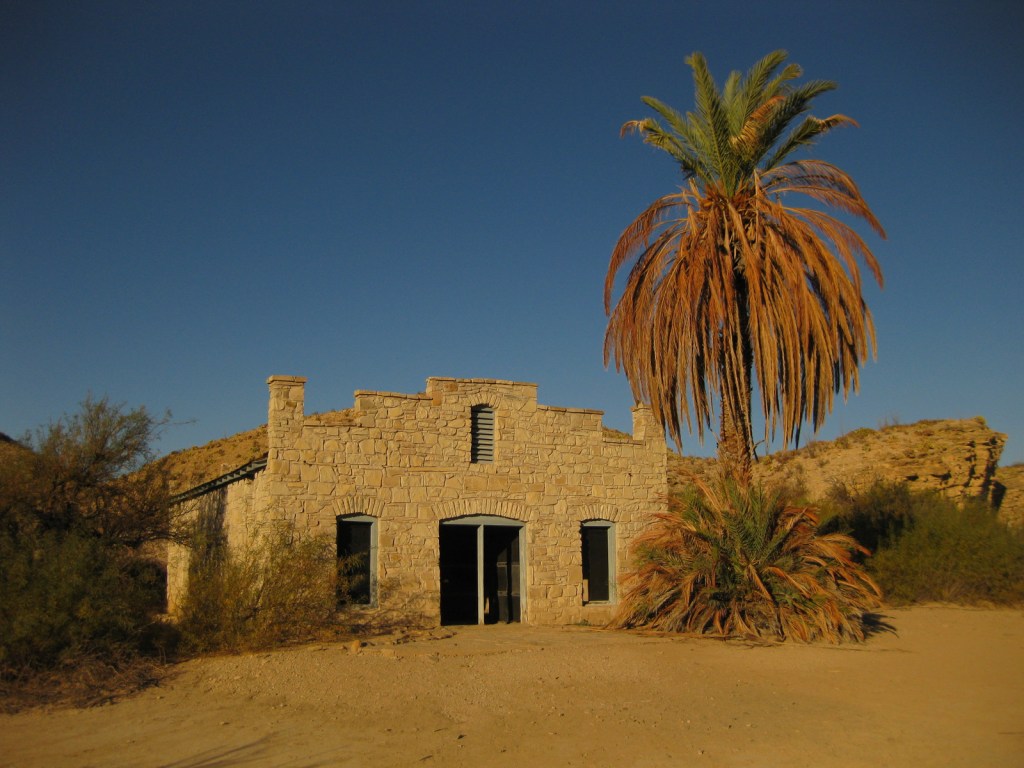
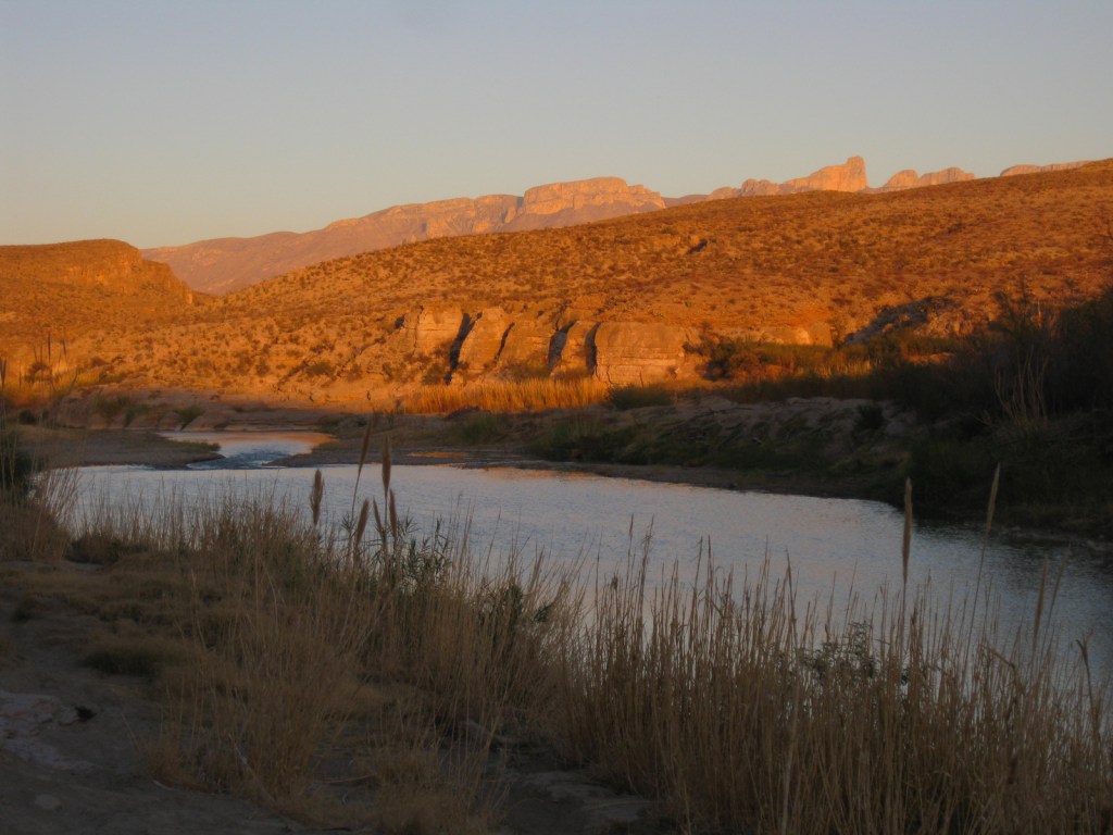
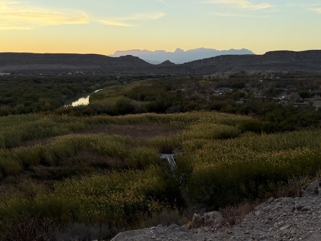
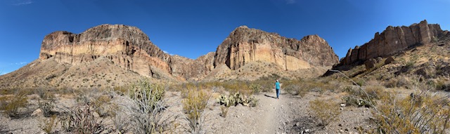
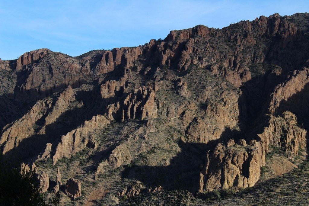
The park is named for a curve in the Rio Grande which forms the international border with Mexico.  This corner of Texas is not easy to get to, so when you do decide to visit plan on staying for at least a few days.  The weather can be very pleasant in the winter months.

Learn more about how to visit this National Park in the expanded second edition of our guidebook A Park to Yourself: Finding Solitude in America’s 63 National Parks. 

Bend

Highlights

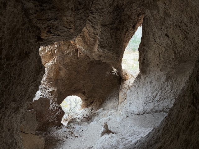
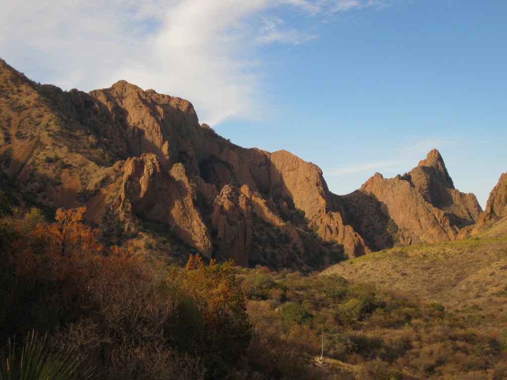
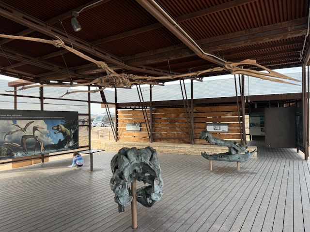
Chisos Basin, Fossil Discovery Exhibit, Hot Springs, Balanced Rock, Santa Elena Canyon Overlook, The Chimneys, Dog Canyon Trail

Must-Do Activity

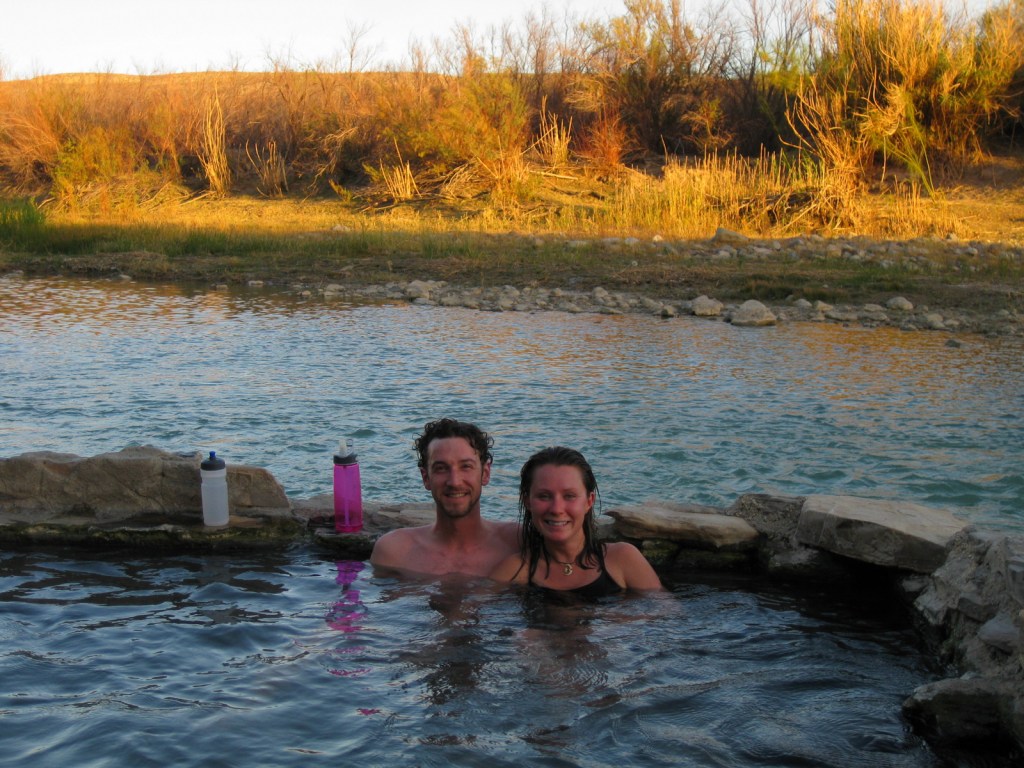
Located down a short dirt road from Rio Grande Village Campground, a quick walk takes you to a riverside hot springs, a great spot to relax after a day of hiking in the dry Texas desert.  While soaking there, you are literally a stone’s throw from another country.

Best Trail

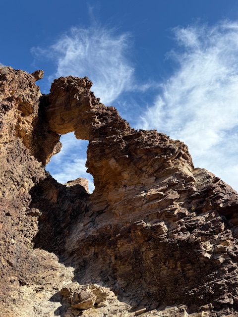
From Chisos Basin it is a short two mile canyon hike to The Window for a gunsight view to the west.  This trail is especially popular at sunset.

Instagram-worthy Photo

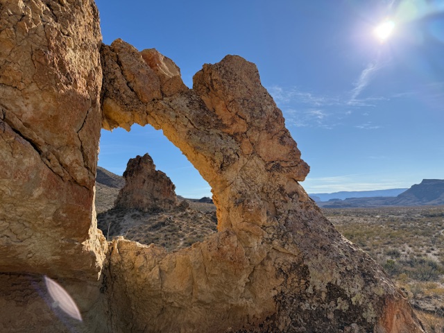
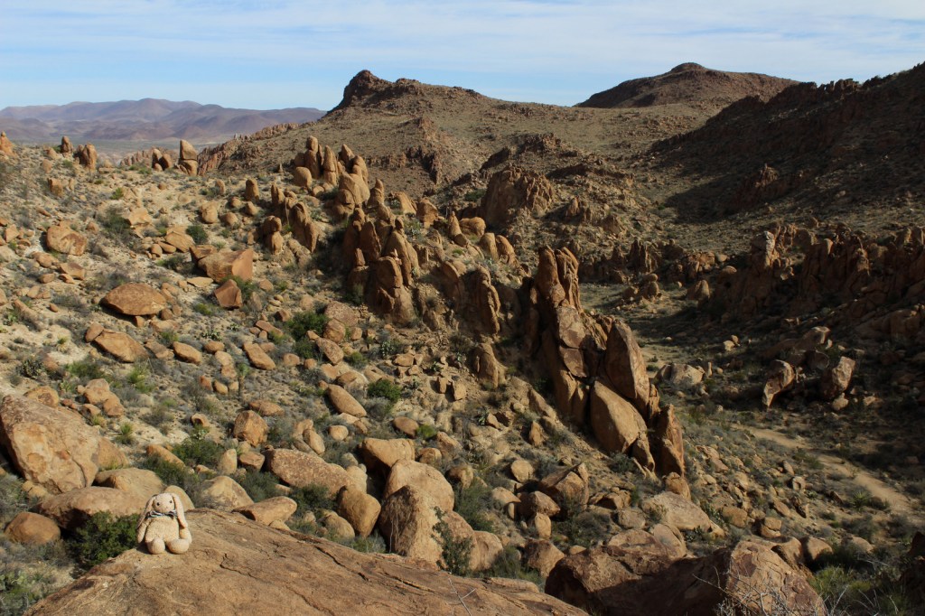
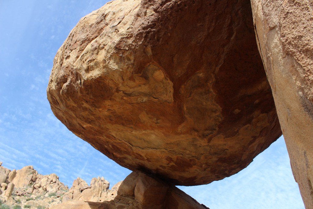
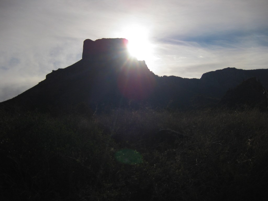
The most popular back road is Grapevine Hills Road which accesses the short Balanced Rock Trail and passes a couple of the most accessible of the 70 primitive backcountry car campsites (which require a permit from a visitor center).

Z March Texas 188

Peak Season

Spring, but we have also had good weather during visits in December and January

Hours

https://www.nps.gov/bibe/planyourvisit/hours.htm

Fees

$30 per vehicle or America the Beautiful pass

Road Conditions

We found that many of the dirt roads are passable with a mini-van, but some are four-wheel-drive only, so check with a ranger first.

Camping

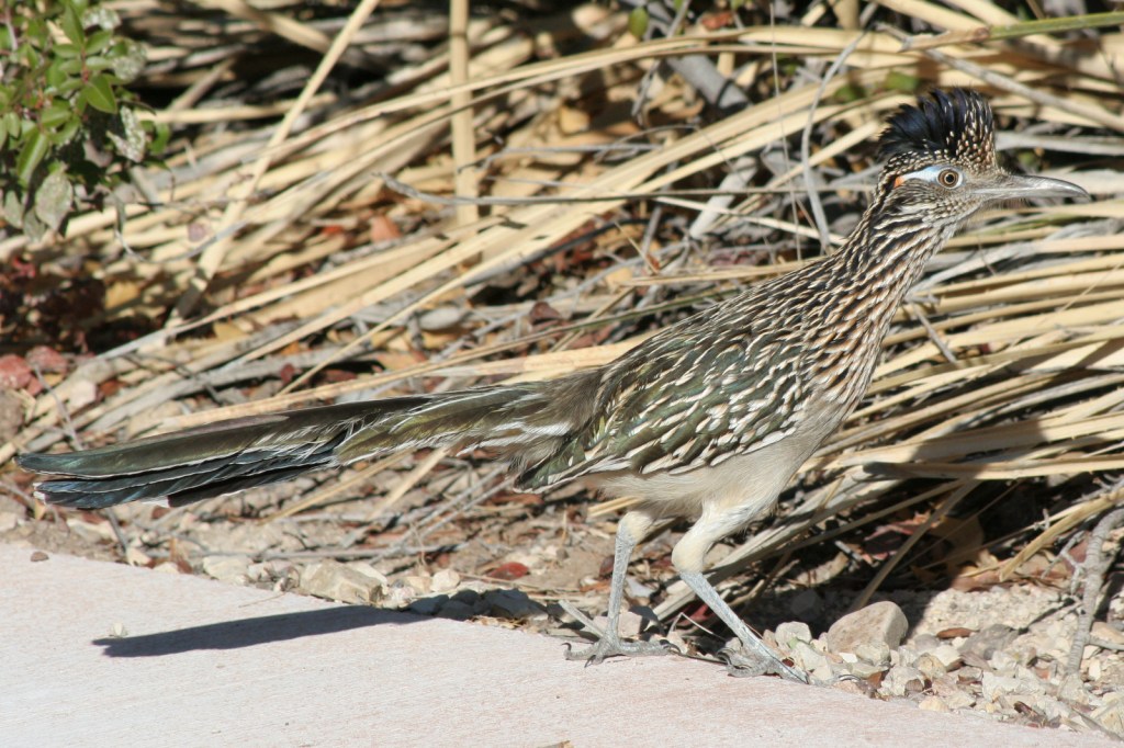
There are many choices of campgrounds and backcountry campsites (permit required) throughout the park, but we recommend the Chisos Basin for its roadrunners and nightly ranger programs.

LR BIBE
This design we created to celebrate Big Bend National Park is available on a variety of products at Cafe Press and Amazon.

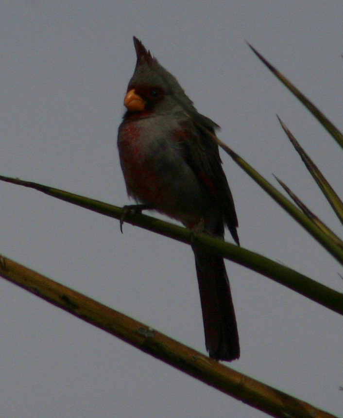
Explore More – What rare migrant bird do birders annually “flock” to see in this park?

Know someone who loves National Parks? Gift them our travel guidebook A Park to Yourself: Finding Solitude in America’s 63 National Parks. 

Congaree National Park

Overview

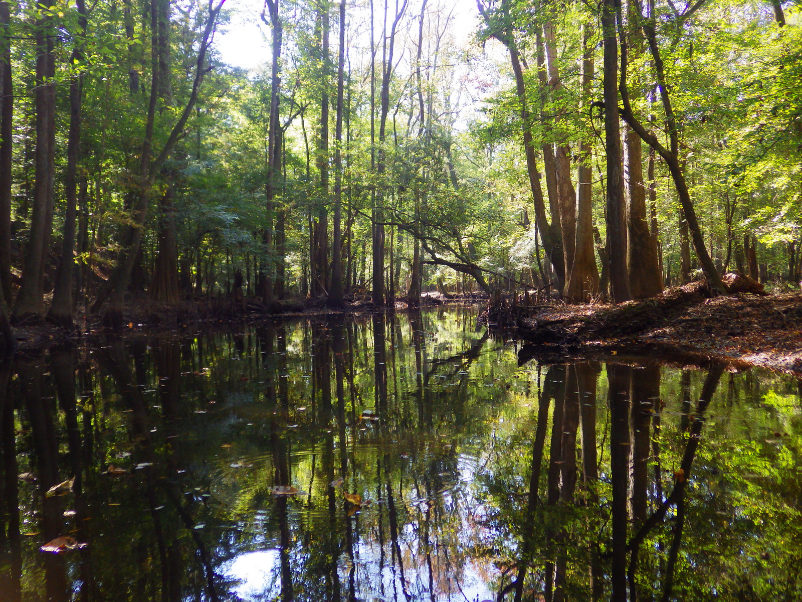
The last uncut bottomland hardwood forest in the southeast was originally preserved as Congaree Swamp National Monument in 1976 then became a National Park in 2003.  These forests once covered 52-million acres of the southeastern United States and today this park contains some of the tallest examples of its native tree species in the world.

Congaree.JPG

Highlights

Baldcypress trees with knees, hiking, birding, paddling

Must-Do Activity

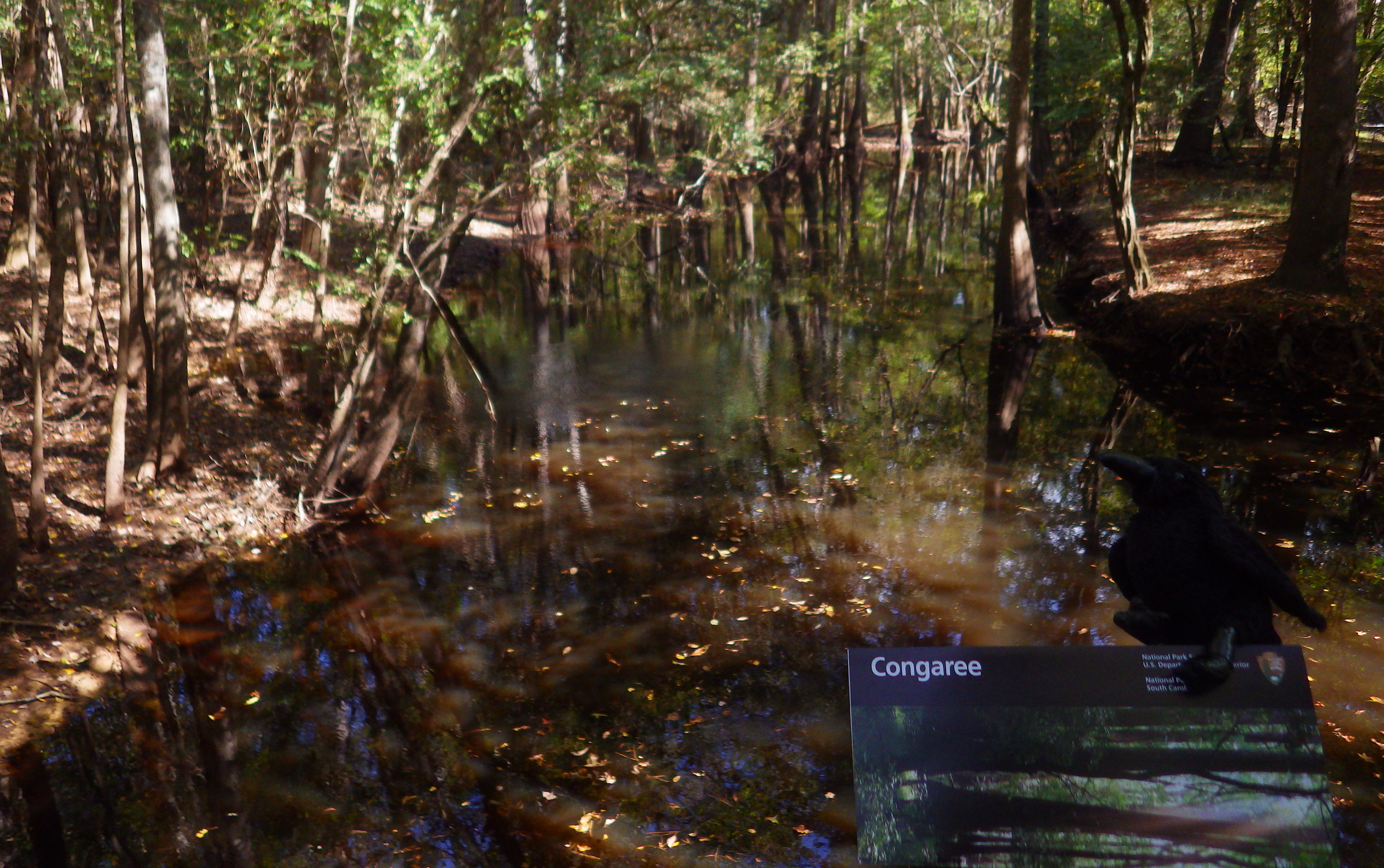
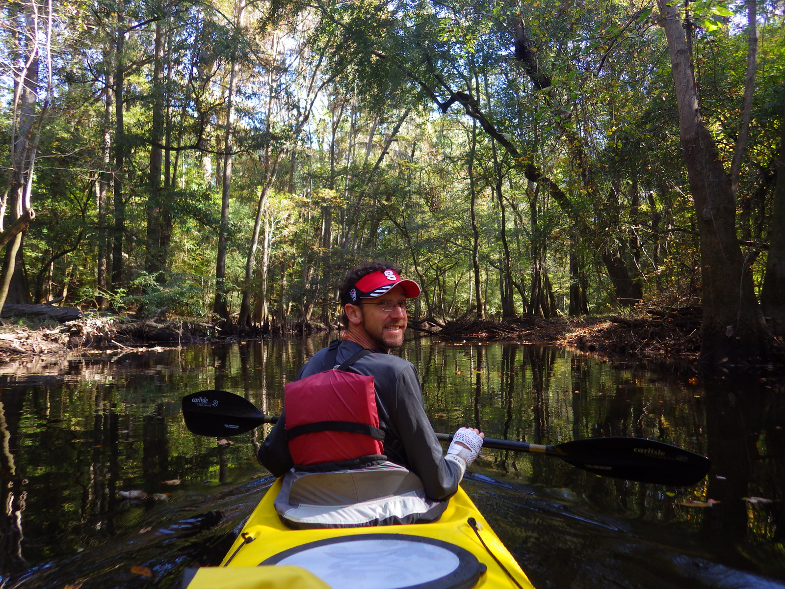
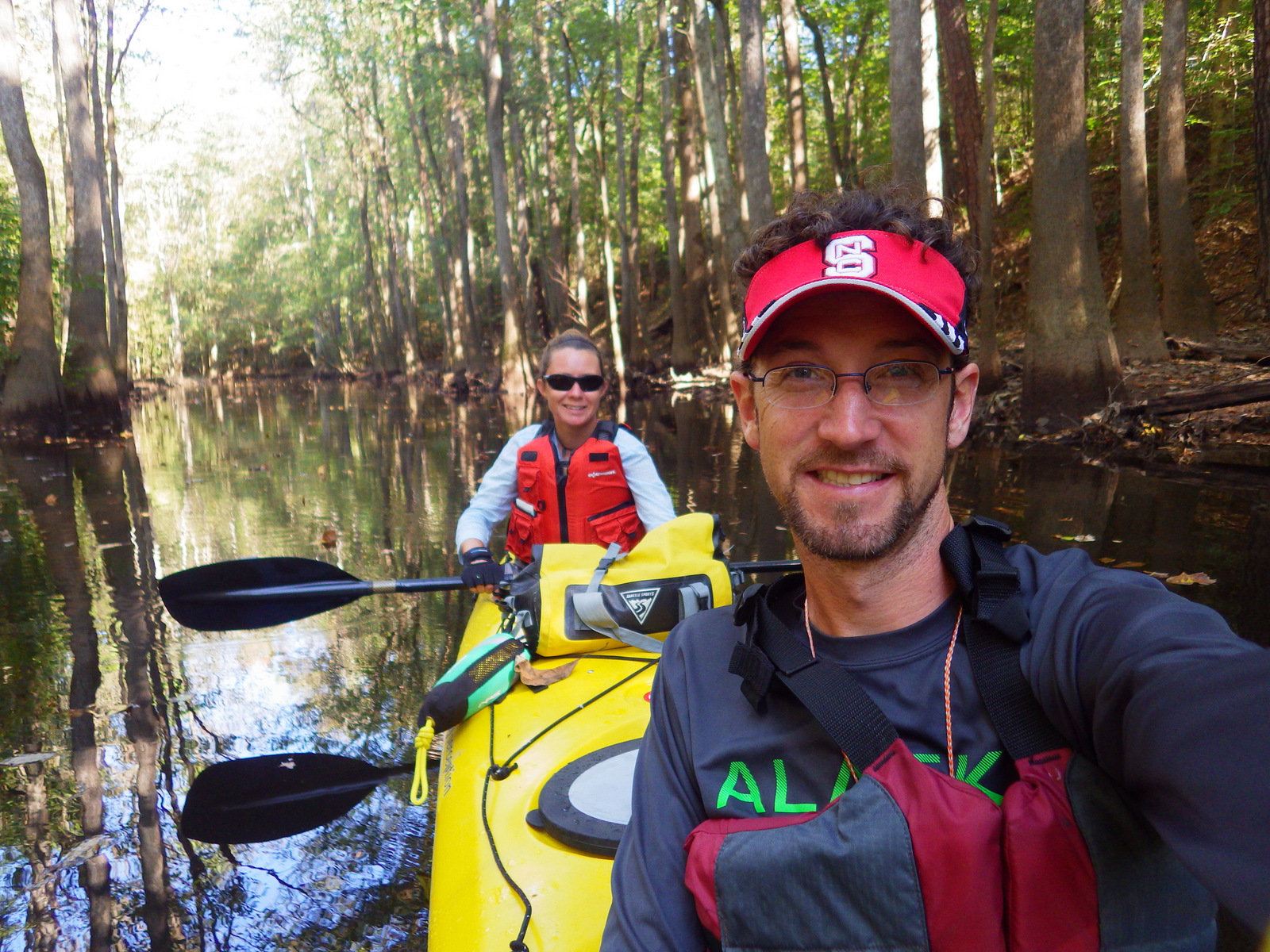
Hop in a canoe or kayak to explore remote sections of this primeval forest.  As you might imagine, all of this standing water is a great breeding ground for mosquitoes; just another reason to come in the winter.  At the visitor center, a handy rating system helps prepare you for the onslaught or the “All clear.”

Best Trail

Even if the ground is flooded, stick to the wheelchair accessible boardwalk and you can still hike through the forest for 2.4 miles without getting your feet wet.

Instagram-worthy Photo

Our favorite tree here is the baldcypress, one of the few deciduous conifer trees (meaning it loses all its needles every autumn).  Baldcypress trees are famous for their “knees” which rise from their roots up to seven feet in the air, helping the roots breathe when underwater.

37-[000308].jpg

Peak Season

We prefer the winter when mosquitoes are absent, but anytime is good at this park that only saw 159,595 visitors in 2017.

Hours

https://www.nps.gov/cong/planyourvisit/hours.htm

Fees

None

Road Conditions

All roads paved, except right at the Cedar Creek Landing boat launch.

Camping

Longleaf Campground has 8 sites and Bluff Campsite has three about a mile from the visitor center.  Backcountry camping is allowed with a free permit.

30 IMGP0923
Paddle a kayak or canoe for a special look into these primeval floodplain forests.

30 IMGP0943

31-[003593]
Winter is a good time to visit if you want to avoid the “ruthless” mosquitoes.


33-[000274]
The boardwalk keeps your feet dry even if the forest is flooded.

35-[000477]

36-[003650]

30 IMGP0944

LR CONG.jpg
This design we created to celebrate Congaree National Park is available on a variety of products at Cafe Press and Amazon.

Explore More – How tall are the record-holding water tupelo, cherrybark oak, and swamp hickory trees in the park?
1WonsTiny2

WONDON WAS HERE


We are a participant in the Amazon Services LLC Associates Program, an affiliate advertising program designed to provide a means for us to earn fees by linking to Amazon.com and affiliated sites.

Chickasaw National Recreation Area

Overview

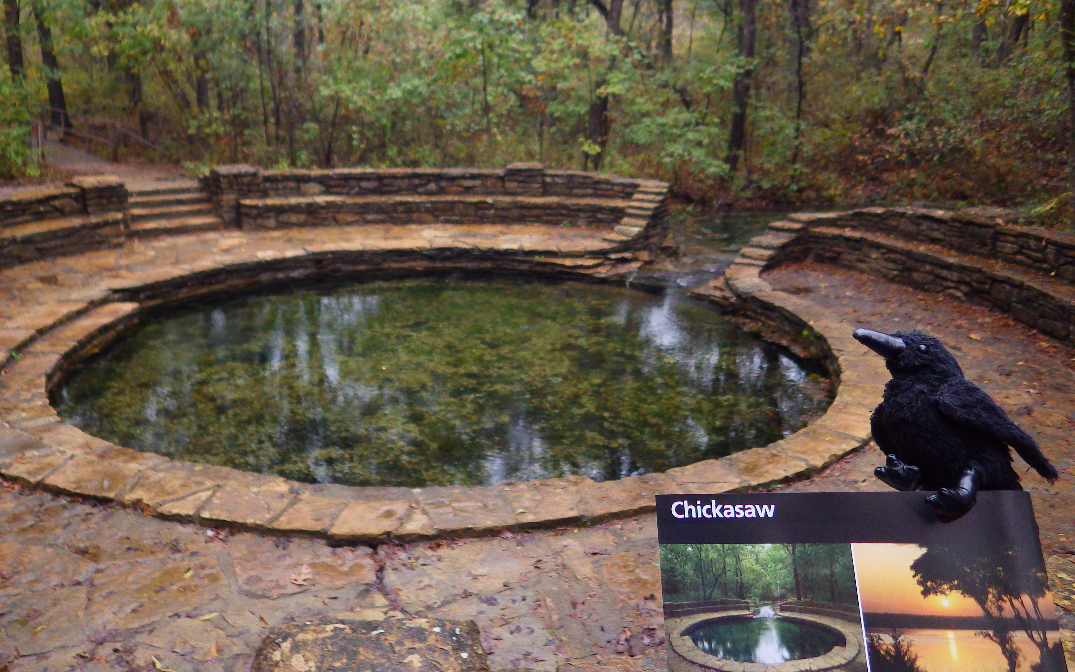
In 1976, Platt National Park was combined with the nearby reservoir at Arbuckle National Recreation Area to form Chickasaw National Recreation Area, named for the neighboring Chickasaw Nation of central Oklahoma.  The trails and infrastructure in the park were predominantly built in the 1930s by the Civilian Conservation Corps (CCC).

Chickasaw.JPG

Highlights

Natural springs, bison herd, Lincoln Bridge, reservoir

Must-Do Activity

Visitors should start at the Travertine Nature Center, then visit the bison pasture and “take the waters” at Vendome Well.  Other diverse recreational opportunities include camping and water sports on the Lake of the Arbuckles.

Best Trail

Take the trail from the Travertine Nature Center to Antelope Springs and photogenic Buffalo Springs.  There is also loop trail around the bison pasture.

Instagram-worthy Photo

The U.S. Mint quarter (see photo below) for Oklahoma depicts the Lincoln Bridge built by the CCC, but it can be difficult to photograph through the trees.

IMGP1910

Peak Season

Summer

Hours

https://www.nps.gov/chic/planyourvisit/hours.htm

Fees

None

Road Conditions

All roads paved, except in Bluestem Prairie.

Camping

Multiple campgrounds, including several on the shores of the Lake of the Arbuckles.

IMGP1892
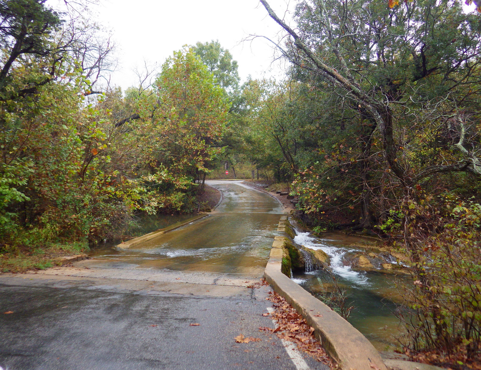
The adventurous road to Travertine Nature Center.

IMGP1896
There is a lot to learn inside the Travertine Nature Center.

IMGP1894

IMGP1907

IMGP1899

IMGP1898
The acorn caps from bur oak trees are huge.

IMGP1912
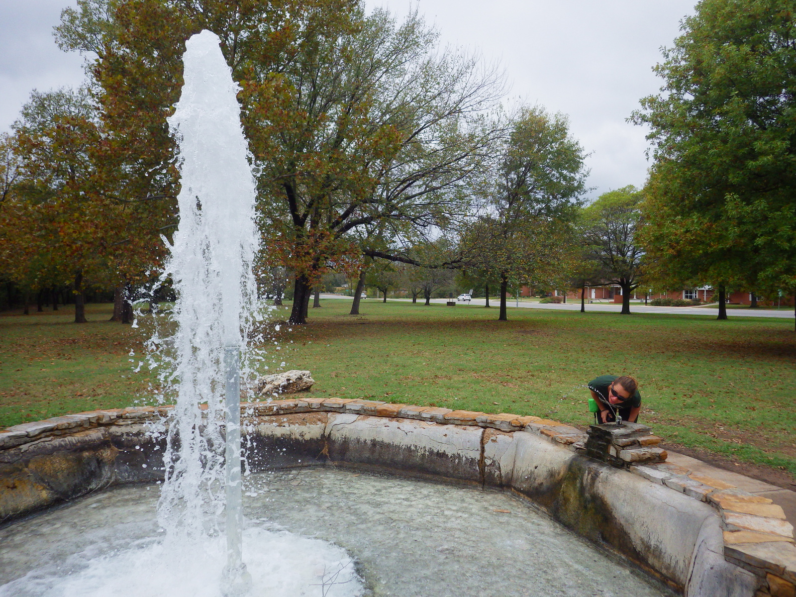
You have to try the sulphurous water fountain at Vendome Well.

Explore More – What was the original name for this federally protected area in 1902?

1WonsTiny2

WONDON WAS HERE

We are a participant in the Amazon Services LLC Associates Program, an affiliate advertising program designed to provide a means for us to earn fees by linking to Amazon.com and affiliated sites.