Tag Archives: Native American

Grand Mesa National Forest

Grand Mesa National Forest

Colorado

Managed by U.S. Forest Service, Rocky Mountain Region

351,715 acres (346,555 federal/ 5,160 other)

Website: https://www.fs.usda.gov/gmug

Overview

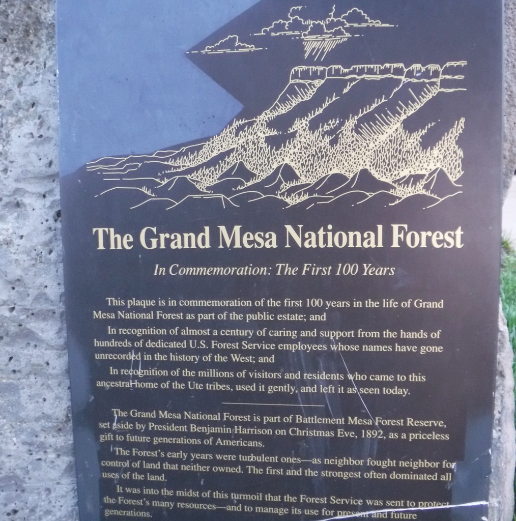
Covering 540 square-miles, Grand Mesa is the largest flattop mountain in the world and has an average elevation of 10,500 feet.  It rises east of Grand Junction and is easily explored via paved Highway 65, also known as Grand Mesa Scenic Byway.  Due to its high elevation, Grand Mesa National Forest is a popular destination for snowmobiles in the winter.  This area was first set aside by President Harrison in 1892 as Battlement Mesa Forest Reserve, only the third such designation in U.S. history.  It is now co-managed with Colorado’s Gunnison and Uncompahgre National Forests.

Highlights

Grand Mesa Scenic Byway, Land’s End Ranger Observatory, Ward Lake, Island Lake Interpretive Trail, Crag Crest National Recreation Trail, Eggleston Lake, Leon Peak, Battlement Trail

Must-Do Activity

Also covering a portion of Battlement Mesa, Grand Mesa National Forest contains more than 300 lakes, several of which have campgrounds.  The Grand Mesa Visitor Center on Highway 65 near Island Lake is a great place to start, with a 20-minute film shown detailing the 1999 Land’s End archaeological excavation that found evidence of 8,000 years of human activity at 9,000 feet in elevation.  Dirt roads travel east from there deeper into the National Forest, or you can take a side trip west on the Grand Mesa Scenic Byway to the visitor center at Land’s End Ranger Observatory for views all the way into Utah’s La Sal National Forest. 

Best Trail

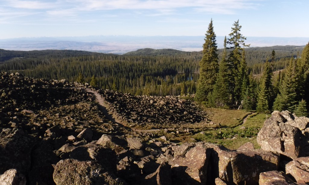
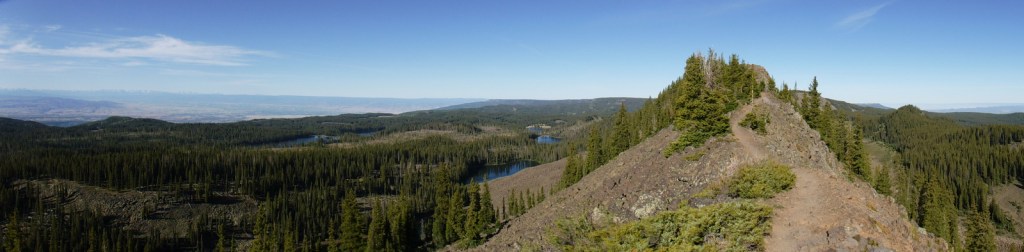
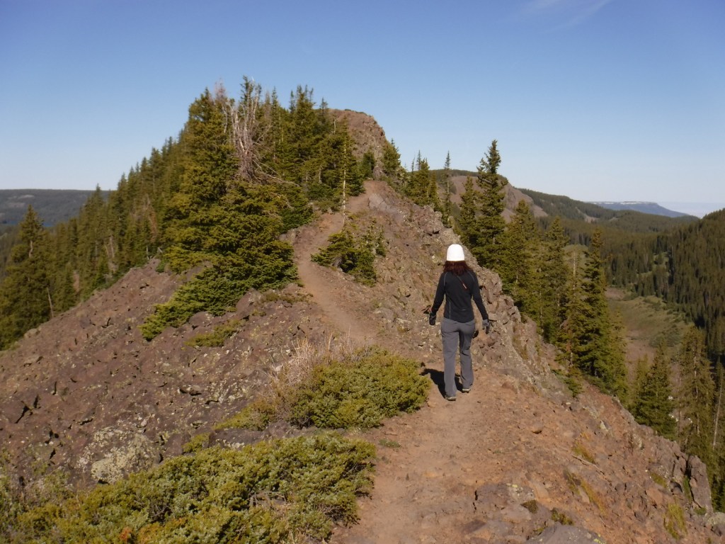
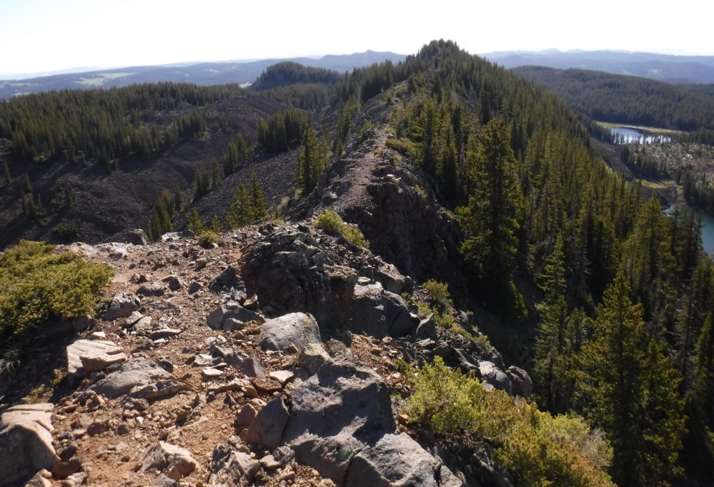
The best trail in Grand Mesa National Forest is without a doubt Crag Crest National Recreation Trail.  It can be hiked as a 10.3-mile loop from two trailheads, one at Island Lake (paved access) and the other at Eggleston Lake (that requires some dirt road driving).  The crest portion of the hike is the highlight as it follows a narrow ridge of volcanic rock that offers spectacular views.  Due to its exposure and the high altitude (up to 11,189 feet) it is recommended that you get an early start to avoid afternoon thunderstorms.  For those not wishing to do the entire loop, we found that by starting out counterclockwise from Eggleston Lake the trail climbs steeply providing panoramas within two miles.  We completed five miles out-and-back with a cumulative elevation gain of 1,100 feet and felt we had gotten the full experience.

Watchable Wildlife

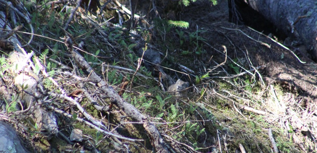
Trout fishing is one of the main draws to the 300 lakes in Grand Mesa National Forest.  The lakes and streams also attract elk, mule deer, bighorn sheep, raccoons, red foxes, black bears, and mountain lions, in addition to large birds like bald eagles, golden eagles, peregrine falcons, common ravens, and wild turkeys.  Due to its high elevation, look for pikas in the rocks along Crag Crest National Recreation Trail.

Instagram-worthy Photo

Starting counterclockwise on the Crag Crest National Recreation Trail from Eggleston Lake, we climbed to stunning panoramas within two miles. 
Peak Season

Summer

Fees

None

Road Conditions

Grand Mesa Scenic Byway follows paved Highway 65 up above 10,000 feet in elevation, as well as west to Land’s End Ranger Observatory.  The unpaved Land’s End Road continues switchbacking down the mesa to Highway 50, but is not recommended for vehicles more than 21 feet in length.  The unpaved roads on Grand Mesa were in good shape during our June visit, but are closed in the winter.

Camping

There are campgrounds at several lakes in Grand Mesa National Forest, as well as dispersed camping options along the dirt roads.

Wilderness Areas

None

Related Sites

Gunnison National Forest (Colorado)

Colorado National Monument (Colorado)

Arapaho National Forest (Colorado)

Nearest National Park

Black Canyon of the Gunnison

Conifer Tree Species

Engelmann spruce, subalpine fir, Douglas-fir, two-needle pinyon pine, ponderosa pine

Flowering Tree Species

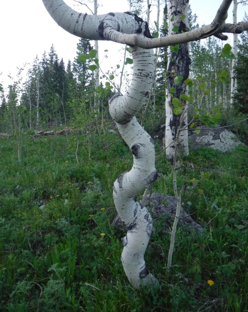
Gambel oak, quaking aspen, narrowleaf cottonwood, mountain-mahogany, chokecherry

Explore More – Now a geological term, what does “mesa” mean in Spanish?

Learn more about this and the 154 other National Forests in our new guidebook Out in the Woods

We are a participant in the Amazon Services LLC Associates Program, an affiliate advertising program designed to provide a means for us to earn fees by linking to Amazon.com and affiliated sites.

Gila National Forest

Gila National Forest

New Mexico

Managed by U.S. Forest Service, Southwestern Region

2,797,628 acres (2,710,659 federal/ 86,969 other)

Website: https://www.fs.usda.gov/gila

Overview

Nearly 25% of Gila National Forest is designated Wilderness, and the renowned Gila Wilderness became the world’s first such-titled area on June 3, 1924.  There are multiple hot springs that attract backpackers to this area and 95% of thru-hikers on the Continental Divide National Scenic Trail (CDT) veer from the official route to enjoy its beauty.  The nearby Aldo Leopold Wilderness is named for the Forest Service ranger that helped campaign for that designation and later became a famous ecologist and author of A Sand County Almanac (see our Top 10 Non-Fiction Books on Trees and Forests).  In 2016, the Cosmic Campground became the first International Dark Sky Sanctuary in North America (and one of only 18 in the world), so it is a great spot for stargazing.  Gila National Forest also manages the part of Arizona’s Apache National Forest that is in New Mexico, adding an additional 614,202 acres.

Highlights

Inner Loop Scenic Byway, Hulsey Lake, Cosmic Campground, Turkey Creek Hot Springs, Lake Roberts, Signal Peak, Quemado Lake, Chimney Rock Canyon, Jordan Hot Springs, Sawmill National Recreation Trail, Catwalk National Recreation Trail, Wood Haul Road National Recreation Trail, Continental Divide National Scenic Trail

Must-Do Activity

You do not have to journey far into the Gila Wilderness to reach Lightfeather Hot Springs on the Middle Fork Trail.  Less than a mile down the trail a shallow pool is formed by stacked rocks where 150-degree hot springs water combines with the cool Middle Fork of the Gila River.  It is a great place to watch and listen to wildlife.  Seven miles further is Jordan Hot Springs, a very popular backpacking destination that requires countless stream crossings (it is best to wear fast-drying shoes and use trekking poles).  The trailhead is located 43 miles north of Silver City on the Inner Loop Scenic Byway, not far from a visitor center co-managed by the Forest Service and National Park Service (that operates nearby Gila Cliff Dwellings National Monument).  The Gila Wilderness is the reason this National Forest made it on our list of the Top 10 National Forests for Backpacking.

Best Trail

The most popular spot in Gila National Forest is the Catwalk National Recreation Trail, which requires driving through two stream crossings that are doable by a passenger car when the water is low.  The one-mile trail is partially elevated above Whitewater Creek on wide, steel grates complete with handrails.  The Catwalk started in 1893 as a way for miners to service a four-inch water pipe, then fell into disrepair before being upgraded by the Civilian Conservation Corps (CCC) in 1935.  Today’s safer, tourist-friendly Catwalk was installed in 1961.  This trail made our list of the Top 10 Day Hiking Trails in National Forests.

Watchable Wildlife

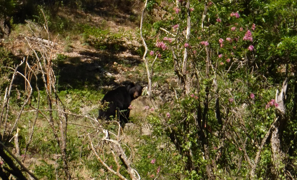
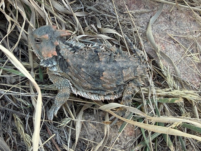
The Gila River gives its name to this National Forest, as well as animals like the venomous Gila monster, Gila woodpecker, and fish, including a trout, topminnow, and several species of chub.  Mexican wolves have been reintroduced to this region, and other predators like mountain lions, bobcats, and black bears (we saw one and followed another’s wet footprints while backpacking near Gila Cliff Dwellings National Monument).  Unique mammals include the javelina (collared peccary), gray fox, white-nosed coatimundi, and Coues white-tailed deer.  Mule deer, elk, pronghorns, and bighorn sheep are additional ungulates found in Gila National Forest.  Large birds include roadrunners, Mexican spotted owls, bald eagles, ospreys, peregrine falcons, and wild turkeys.  Most of our wildlife encounters were with reptiles like horned lizards (a.k.a. frogs or toads), western fence lizards, and rattlesnakes.

Instagram-worthy Photo

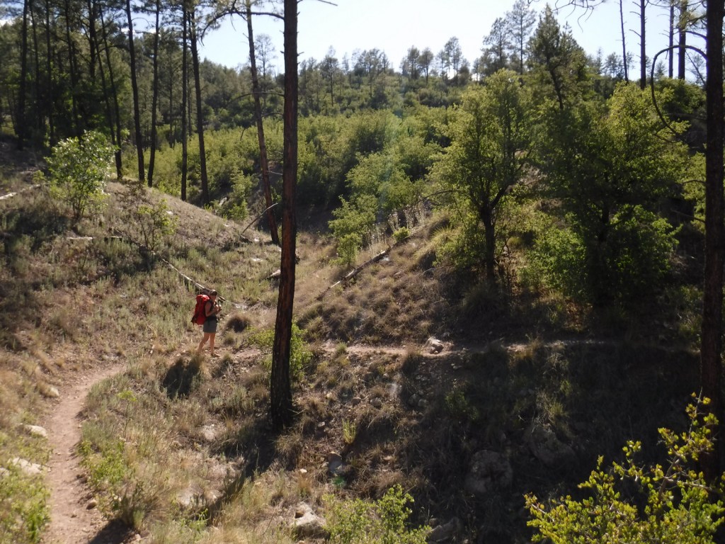
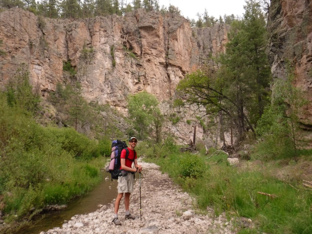
In May 2020, we did a 72-mile backpacking loop connecting the West Fork of the Gila River with the Middle Fork, through gorgeous canyons and old-growth forests protected as the Gila Wilderness since 1924.

Peak Season

Summer

Fees

There is a parking fee at Catwalk National Recreation Trail (or you can display an America the Beautiful Pass), but some cars parked across the river to avoid paying.

Road Conditions

The eastern part of Inner Loop Scenic Byway is paved to the visitor center co-managed by the Forest Service and National Park Service, but the western portion is unpaved and has some steep grades not recommended for RVs.  The unpaved road to Catwalk National Recreation Trail with its two stream crossings is doable with a passenger car when the water is low.

Camping

Cosmic Campground became the first International Dark Sky Sanctuary in North America (and one of only 14 in the world), so it is a great spot for stargazing.  Pueblo Park Campground offers a trail through Chimney Rock Canyon and Upper End Campground is near 72-acre Lake Roberts.  Cottonwood Campground is located near the Blue Range Wilderness on the Arizona border.  In eastern Gila National Forest along Highway 152 are found both Upper Gallinas and Iron Creek Campgrounds.  In the north, there are three campgrounds on 131-acre Quemado Lake and the Continental Divide National Scenic Trail cuts through primitive Apache Creek Campground.

Wilderness Areas

Aldo Leopold Wilderness

Blue Range Wilderness

Gila Wilderness

Related Sites

Gila Cliff Dwellings National Monument (New Mexico)

Apache National Forest (Arizona-New Mexico)

Cibola National Forest (New Mexico)

Nearest National Park

White Sands

Conifer Tree Species

two-needle pinyon pine, ponderosa pine, Chihuahua pine, southwestern white pine, white fir, one-seed juniper

Flowering Tree Species

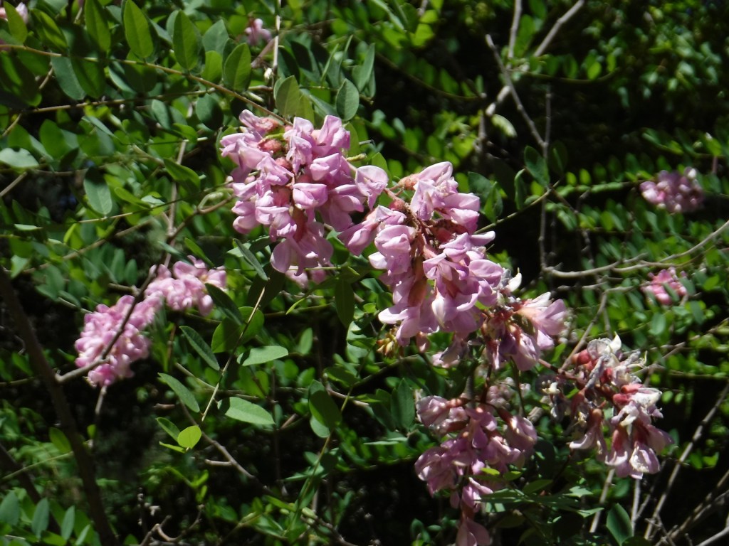
Gambel oak, gray oak, silverleaf oak, New Mexico locust, quaking aspen, narrowleaf cottonwood, Fremont cottonwood, Arizona alder, Arizona sycamore, Arizona walnut, boxelder, velvet ash, netleaf hackberry, mountain-mahogany, chokecherry

Explore More – Gila is a Spanish simplification of the Yuma word “hah-quah-sa-eel,” translated as what?

Learn more about this and the 154 other National Forests in our new guidebook Out in the Woods

We are a participant in the Amazon Services LLC Associates Program, an affiliate advertising program designed to provide a means for us to earn fees by linking to Amazon.com and affiliated sites.

Cedar River National Grassland

Cedar River National Grassland

North Dakota

Managed by U.S. Forest Service, Northern Region

6,717 acres (6,717 federal/ 0 other)

Website: https://www.fs.usda.gov/recarea/dpg/recarea/?recid=79471

Overview

Cedar River National Grassland was created in 1998 from part of Custer National Forest, as is true of all four of the units managed as The Dakota Prairie Grasslands by the U.S. Forest Service.  The number above showing 0 acres of private inholdings is a little misleading since Cedar River National Grassland is a patchwork of public lands surrounded by the Standing Rock Reservation of the Lakota Sioux.  It is administered from the office just across the state border in Lemmon, South Dakota along with 154,783-acre Grand River National Grassland.  Although situated close to the Cedar River, the grassland contains no river bottomlands and is primarily composed of rolling hills cut by dry gullies.

Highlights

Knispel Wildlife Area, Cedar River

Must-Do Activity

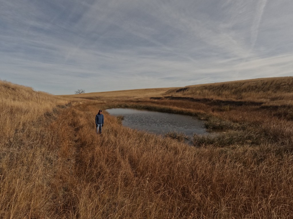
The soils of Cedar River National Grassland are mostly clay, but we found some interesting rocks on the surface near the buttes at Knispel Wildlife Area off Highway 31.  Although it is not in the National Grassland, you should try to drive across one of the bridges over the namesake Cedar River.  Using the Forest Service app, we hiked to a small pond with cattails we could see on the aerial photos near the North Community Allotment.

Best Trail

There are no designated trails in Cedar River National Grassland, so we just walked cross-country.  We do recommend a stop at the World’s Largest Petrified Wood Park in nearby Lemmon, South Dakota.

Watchable Wildlife

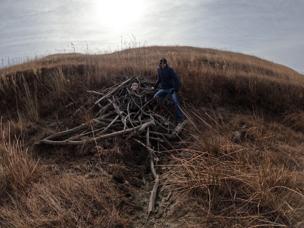
About 25% of the National Grassland was reseeded with crested wheatgrass providing good grazing for white-tailed deer, pronghorn, and cattle.  Sharp-tailed grouse and exotic pheasants are also found in this area and the neighboring farm fields (primarily growing sunflowers).  Potholes and stock ponds provide habitat for blue-winged teals, gadwalls, and mallards, as well as fathead minnows, painted turtles, and northern leopard frogs.  In the summer, listen for the songs of western meadowlarks.  Birds of prey reported are red-tailed hawks, ferruginous hawks, Swainson’s hawks, northern harriers, American kestrels, golden eagles, and bald eagles.  We saw evidence of a hut on a dry stream built by a beaver, and there are also or muskrats, raccoons, coyotes, red foxes, and badgers. 

Instagram-worthy Photo

Cottonwood trees are about the only subject that will break the horizon in a photograph at Cedar River National Grassland.

Peak Season

Summer

Fees

None

Road Conditions

Highway 31 is paved, but most of the roads were unpaved; those with gravel were in good shape in October, although the clay could turn to gumbo during wet spring months.

Camping

There is not a designated campground and dispersed camping might be tough due to the lack of pullouts and the predominance of private land.  It is probably better to head south to Grand River National Grassland, which has campgrounds.

Related Sites

Cimarron National Grassland (Kansas)

Knife River Indian Villages National Historic Site (North Dakota)

Fort Union Trading Post National Historic Site (North Dakota-Montana)

Nearest National Park

Theodore Roosevelt

Explore More – After the federal government acquired about 48,000 acres of the Standing Rock Reservation from homesteads in the 1930s, how many acres did they later return to the Lakota Sioux (although the tribe would like it all returned)?

Davy Crockett National Forest

Davy Crockett National Forest

Texas

Managed by U.S. Forest Service, Southern Region

394,200 acres (160,647 federal/ 233,553 other)

Website: https://www.fs.usda.gov/texas

Overview

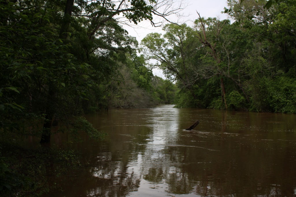
The pine forests and blackland prairies of Davy Crockett National Forest are situated between Lufkin and Crockett, Texas.  The National Forest is located within the Trinity and Neches River basins, where the Big Slough Canoe Trail explores the swampy 3,639-acre Big Slough Wilderness.  David Crockett was a frontiersman, soldier, and Tennessee politician who died at the infamous Battle of the Alamo in 1836 and later became an almost-mythical American folk hero known as the “King of the Wild Frontier.”  This swampy stretch of eastern Texas is a fitting place to be his namesake.

Highlights

Ratcliff Lake Recreation Area, Holly Bluff Campground, Neches Bluff Overlook, Neches River, Big Slough Canoe Trail, Tall River Trail, Four C Trail

Must-Do Activity

Davy Crockett National Forest’s most developed site is Ratcliff Lake Recreation Area, where several trails run near the campsites that surround the 45-acre lake, including one end of the 20-mile-long Four C National Recreation Trail.  The site also has a bathhouse, picnicking and swimming areas, and boat ramps.

Best Trail

The 20-mile Four C National Recreation Trail connects Ratcliff Lake Recreation Area with Neches Bluff Overlook, although hurricane damage closed the northern portion of the trail in 2019.  The trail is named after the Central Coal and Coke Company, which had a sawmill at Ratcliff Lake.  Much of the well-marked route follows abandoned tramways built by the company to haul logs.  The two trailheads are easily accessible from highways, but no backpack camping is allowed during deer hunting season (November through January).

Watchable Wildlife

Fishing is a major draw to Ratcliff Lake, as is hunting for white-tailed deer, fox squirrels, northern bobwhite quail, doves, wild turkeys, and various waterfowl.  Beavers and American alligators are also found at Ratcliff Lake.  Longleaf pine forests are managed to provide habitat for red-cockaded woodpeckers, an endangered species.  We saw an armadillo while hiking a swampy section of the Four C National Recreation Trail along the Neches River.

Instagram-worthy Photo

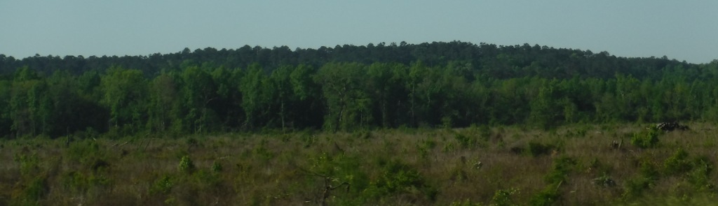
There is not much vertical topography in eastern Texas, so Neches Bluff Overlook stands out and commands an expansive view, including Caddo Mounds State Historic Site.

Peak Season

Spring and fall

Fees

None

Road Conditions

Access to Neches Bluff Overlook is by a well-maintained unpaved road that would be drivable by an RV.

Camping

There is free primitive camping allowed at Neches Bluff Overlook, which is located just south of Highway 21 near Caddo Mounds State Historic Site.  No backpack camping is allowed on the Four C National Recreation Trail during deer hunting season (November through January), when dispersed camping is also restricted to 20 designated hunter camps.

Wilderness Areas

Big Slough Wilderness

Related Sites

Angelina National Forest (Texas)

Sabine National Forest (Texas)

Big Thicket National Preserve (Texas)

Nearest National Park
Hot Springs

Conifer Tree Species

baldcypress, loblolly pine, shortleaf pine, longleaf pine, eastern redcedar

Flowering Tree Species

blackjack oak, post oak, southern red oak, white oak, swamp chestnut oak, willow oak, sweetgum, red maple, swamp red maple, green ash, swamp cottonwood, black willow, water hickory, pignut hickory, hophornbeam, sassafras, slippery elm, water elm, winged elm, American holly, yaupon holly, red buckeye, redbud, rough-leaf dogwood, flowering dogwood

Explore More – When were the mounds created at nearby Caddo Mounds State Historic Site?

Learn more about this and the 154 other National Forests in our new guidebook Out in the Woods

We are a participant in the Amazon Services LLC Associates Program, an affiliate advertising program designed to provide a means for us to earn fees by linking to Amazon.com and affiliated sites.

Coronado National Forest

Coronado National Forest

Arizona

Managed by U.S. Forest Service, Southwestern Region

1,859,807 acres (1,786,620 federal/ 73,187 other)

Website: https://www.fs.usda.gov/coronado

Overview

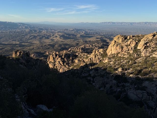
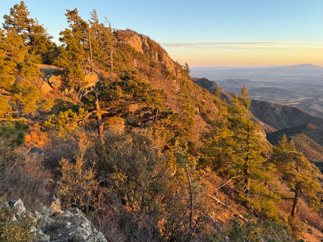
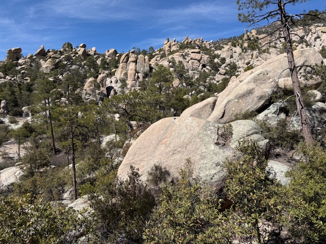
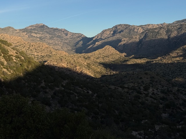
Coronado National Forest is sprinkled across the southeastern Arizona landscape, encompassing many forested “sky islands” that rise above the surrounding Sonoran Desert.  The isolation of these ranges has led to the evolution of some endemic species of plants and animals unique to this region.  That isolation also allows for clear night skies, so there are several peaks with astronomical observatories.  The most visited portion of the forest is the Santa Catalina Mountains, easily accessible along the paved 35-mile-long Catalina Highway east of Tucson, Arizona. 

Know someone who loves the National Forests? Gift them our travel guidebook Out in the Woods so they can learn more about all 155 National Forests.

Highlights

Catalina Highway, Sabino Canyon Recreation Area, Mt. Lemmon, Windy Point, Madera Canyon, Sky Island Scenic Byway, Mt. Graham, Onyx Cave, Madera Canyon, Mt. Hopkins Observatory, Pena Blanca Lake, Ramsey Canyon, Miller Peak, Cochise Stronghold

Must-Do Activity

The Santa Catalina Mountains offer many recreational opportunities, from road biking to downhill skiing at the top of 9,157-foot Mt. Lemmon (the southernmost ski area in the U.S.).   The scenic beauty and expansive vistas along the Catalina Highway are worth the many switchbacks, and you might drive past some of the most famous triathletes in the world who train here in the winter.  The drive ascends through multiple life zones from saguaro-dotted desert to ponderosa pine forest.  At the base of the Santa Catalina Mountains is the busy Sabino Canyon Recreation Area (fee).

Best Trail

Box Camp Trail is special to us as it was the site of our first date, marriage proposal, and wedding ceremony.  Over the course of 13 miles, Box Camp Trail drops 5,000 feet in elevation from ponderosa pine forest through pinyon-juniper woodland to the desert of Sabino Canyon dominated by saguaro cacti.  The rugged trail disappears in places, but offers incredible views along the way.  Route finding is required as the trail is somewhat overgrown (with downed trees from wildfires), plus the one-way hike requires two cars, one left at Sabino Canyon Recreation Area and one at the trailhead on the Catalina Highway. 

Watchable Wildlife

The Sonoran Desert is home to numerous unique wildlife species from roadrunners to Coues white-tailed deer.  Many of the animals are nocturnal to avoid the heat of the day, including ringtails (or ring-tailed cats), kangaroo rats, and javelinas (or collared peccaries).  The “sky islands” provide habitat for black bears, coyotes, skunks, mountain lions, bobcats, pronghorns, mule deer, and elk.  Sabino Canyon Recreation Area is known for its coatis, relatives of raccoons that typically travel in packs.

Instagram-worthy Photo

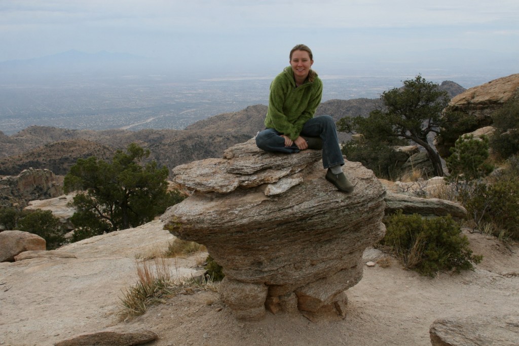
Windy Point is a spectacular overlook along the Catalina Highway in the pinyon-juniper woodland zone.  Not a bad spot for wedding photos, if we do say so ourselves.

Peak Season

Spring and fall

Fees

There is a fee to park at Sabino Canyon Recreation Area, plus a charge for the tram ride. Check the USFS website for details.

Road Conditions

The paved Catalina Highway is sometimes closed due to snow and ice in the winter.  There are some rough roads in this part of the Sonoran Desert, and especially be aware of the potential for flash flooding.

Camping

There are designated campgrounds along the Catalina Highway and throughout Coronado National Forest.  We dispersed camped near Dragoon Springs Station south of Interstate 10, but the access roads were in bad shape.

Wilderness Areas

Chiricahua Wilderness

Galiuro Wilderness

Miller Peak Wilderness

Mount Wrightson Wilderness

Pajarita Wilderness

Pusch Ridge Wilderness

Rincon Wilderness

Santa Teresa Wilderness

Related Sites

Coronado National Memorial (Arizona)

Tumacácori National Historical Park (Arizona)

Chiricahua National Monument (Arizona)

Nearest National Park
Saguaro

Conifer Tree Species

two-needle pinyon pine, alligator juniper, ponderosa pine, Chihuahua pine, Apache pine

Flowering Tree Species

Emory oak, Arizona oak, Mexican blue oak, Arizona rosewood, black alder, Arizona walnut, velvet ash, Arizona sycamore, quaking aspen

Explore More – Who was the famous ecologist that studied the similarity of increasing elevation to increasing latitude more than a century ago in the Santa Catalina Mountains?

Learn more about this and the 154 other National Forests in our guidebook Out in the Woods