Holly Springs National Forest
Mississippi
Managed by U.S. Forest Service, Southern Region
519,943 acres (155,661 federal/ 364,282 other)
Website: https://www.fs.usda.gov/recarea/mississippi/recarea/?recid=28851
Overview
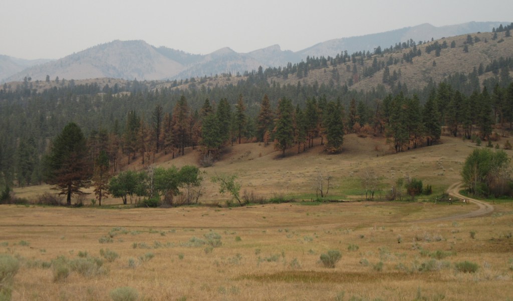
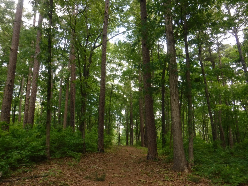
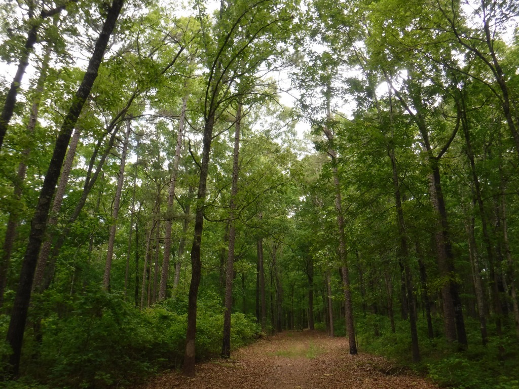
In northern Mississippi, Holly Springs National Forest was established in 1936 on abandoned agricultural land and it still encompasses 364,282 acres of private property. To help control erosion, the area was planted by the Civilian Conservation Corps (CCC) with loblolly pine seedlings. All six National Forests in Mississippi are managed as one administrative unit, including Bienville, De Soto, Delta, Holly Springs, Homochitto, and Tombigbee National Forests. The Holly Springs district ranger station is headquartered not in the town of Holly Springs, but rather in nearby Oxford, home of the University of Mississippi (or Ole Miss).
Highlights
Chewalla Lake, Puskus Lake, Benton Lookout Tower, Lake Tillatoba, Baker’s Pond Hiking Trail, North Cypress Non-Motorized Trail
Must-Do Activity
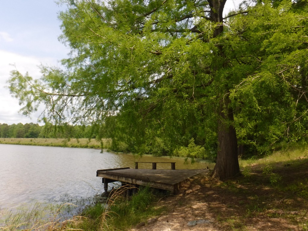
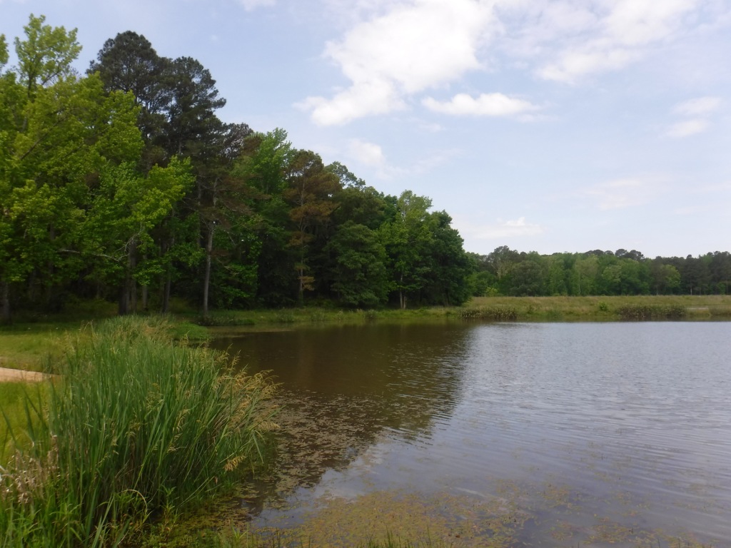
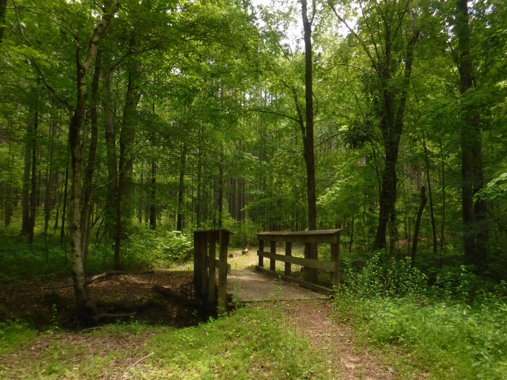
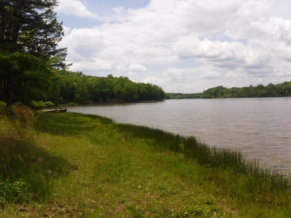
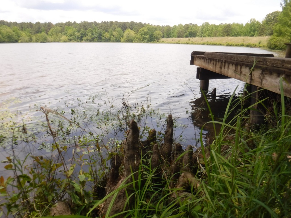
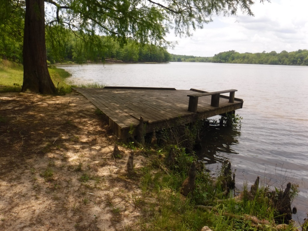
There are many small lakes and ponds throughout this region, some of them accessible from boat ramps on National Forest land. Chewalla Lake Recreation Area is the most developed site offering a swimming beach and campground, plus fishing and boating opportunities. A 2.3-mile trail at the 260-acre lake passes an overlook and a reconstructed Choctaw burial mound. In Holly Springs National Forest’s northeast corner off Highway 72, a short trail accesses Baker’s Pond, the source of the Wolf River. Further south, Lake Tillatoba is a fee-free primitive site managed by Tombigbee National Forest.
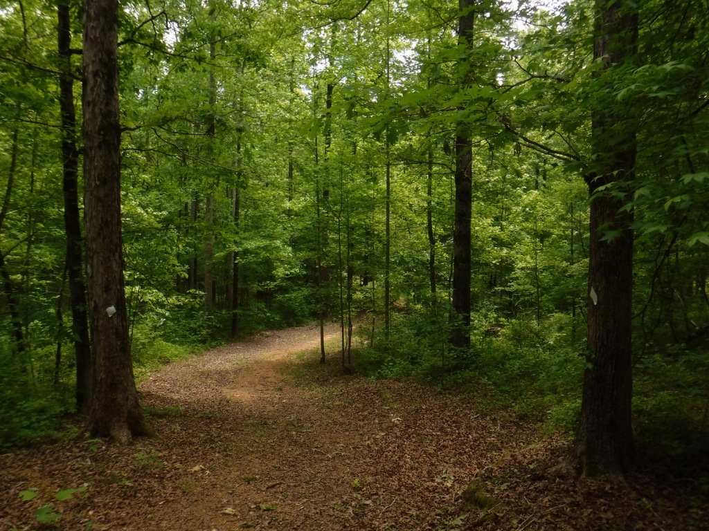
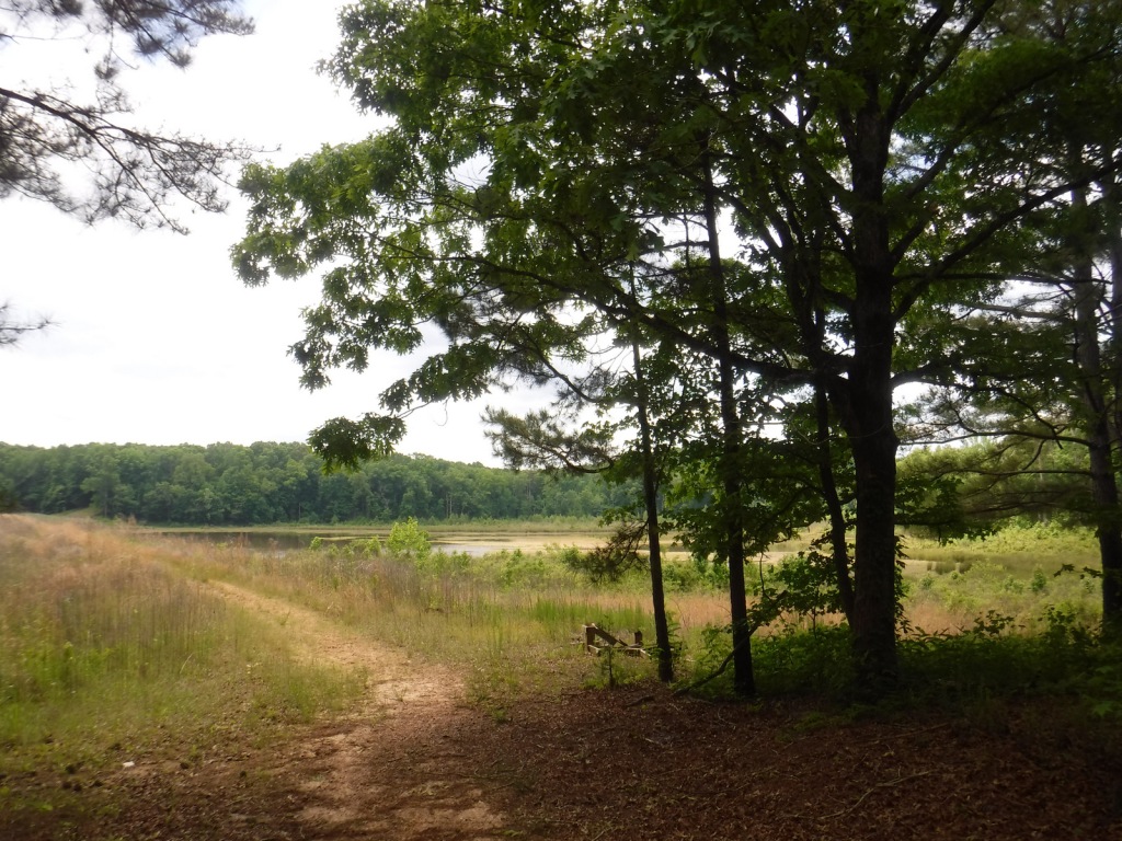
Best Trail
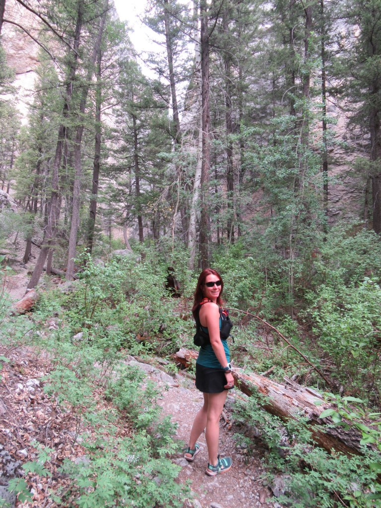
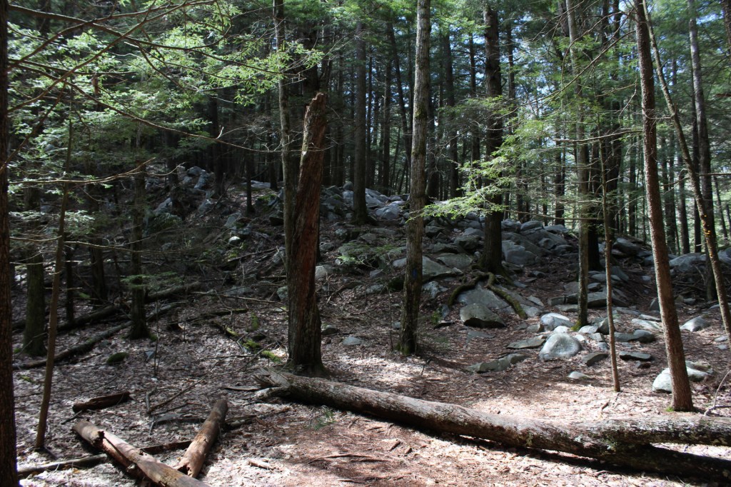
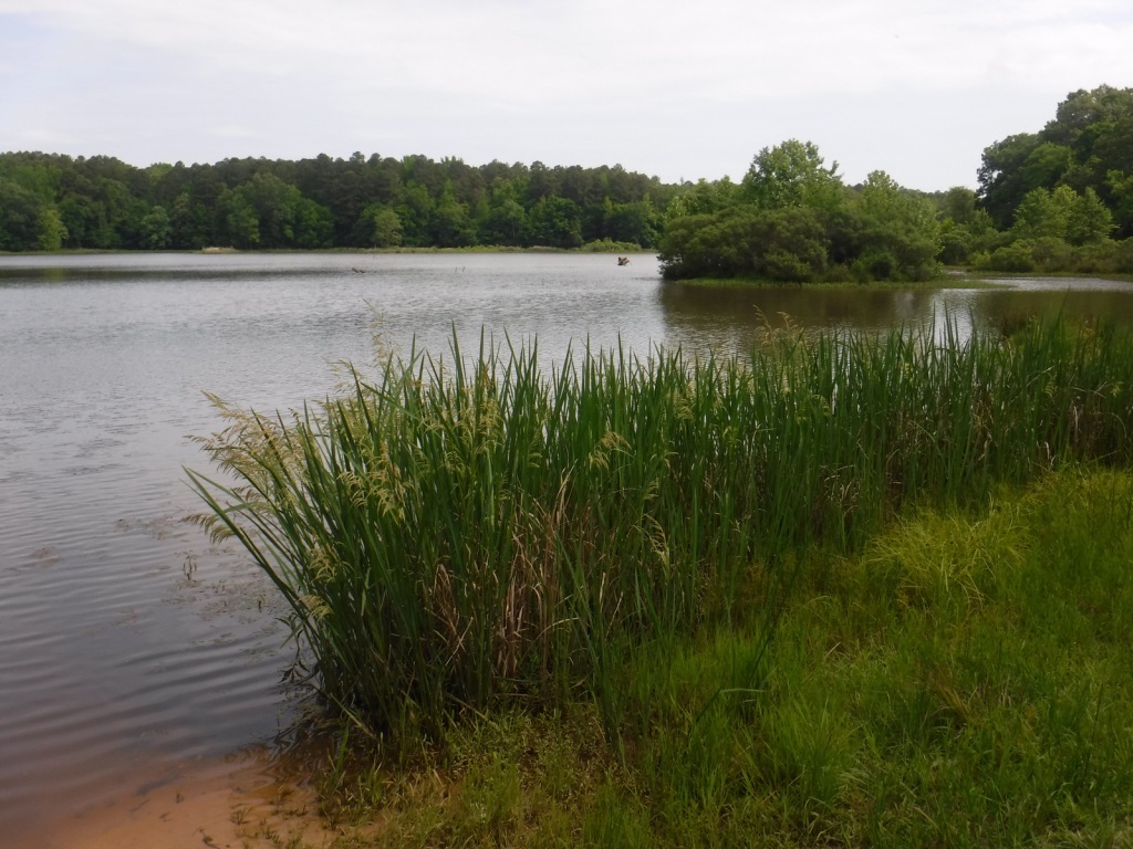
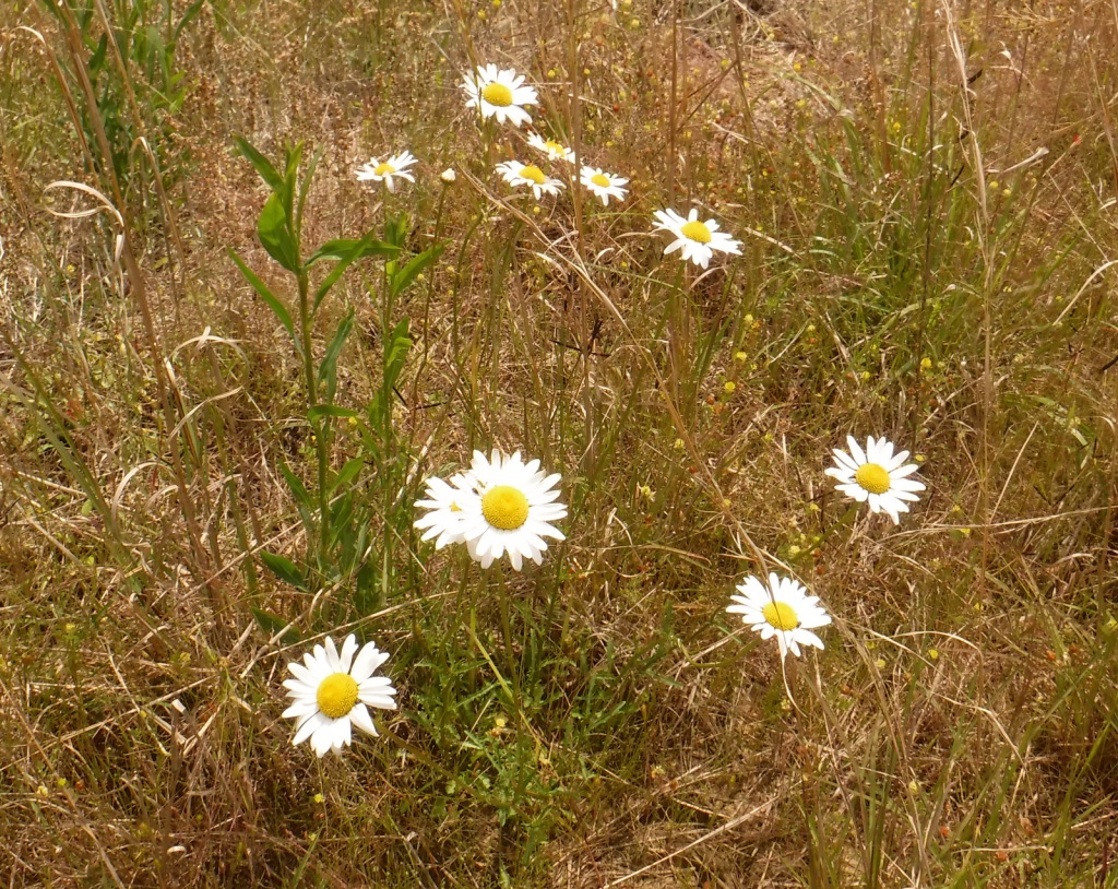
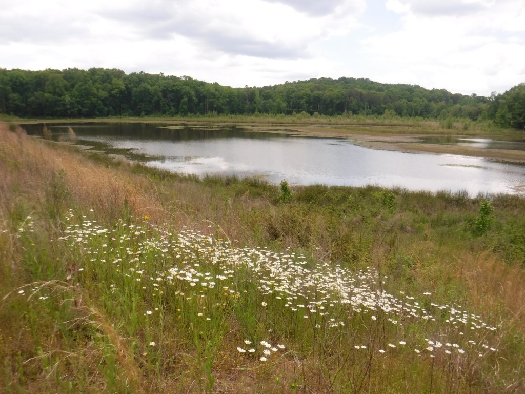
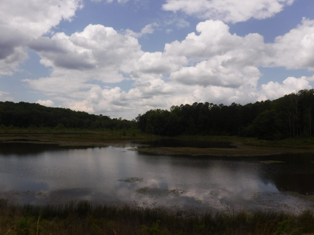
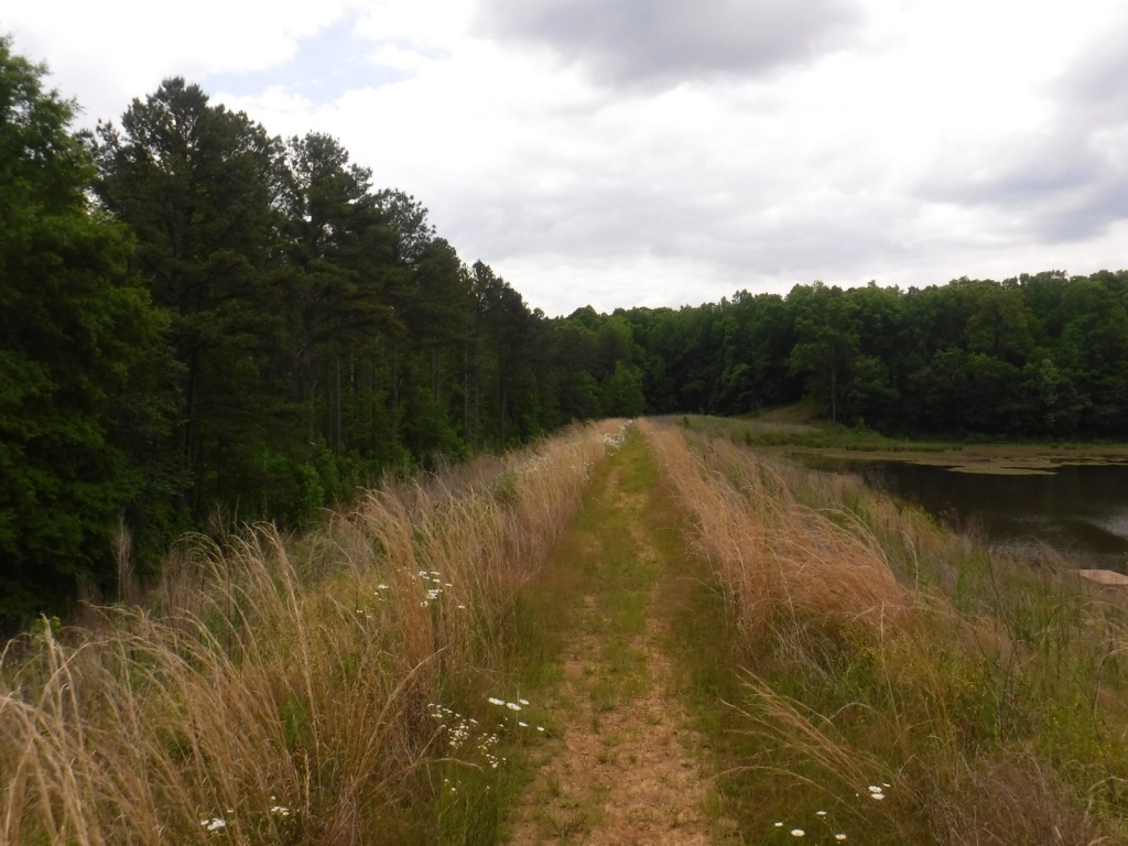
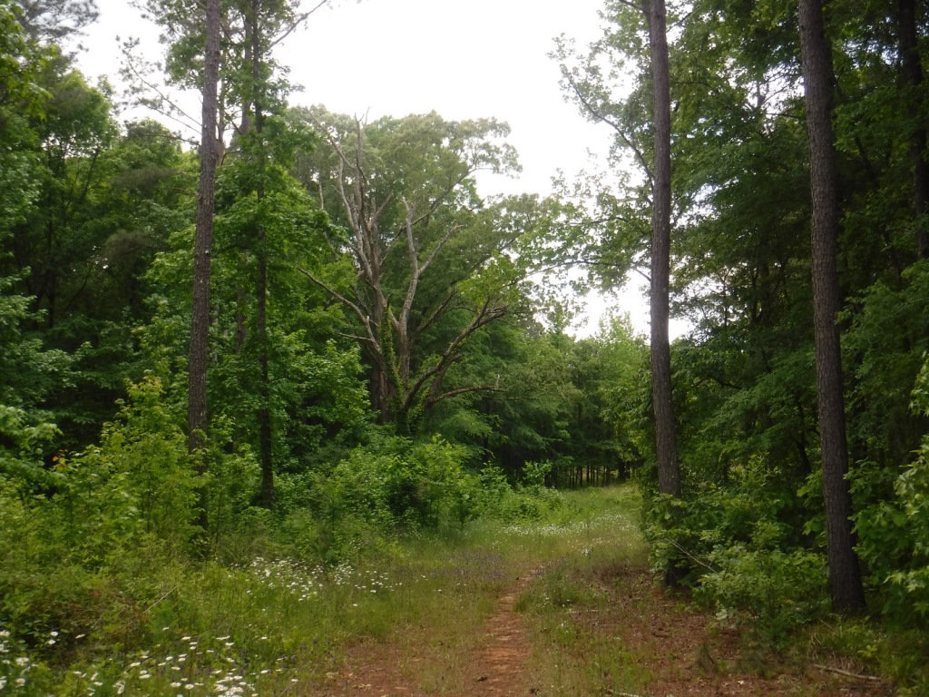
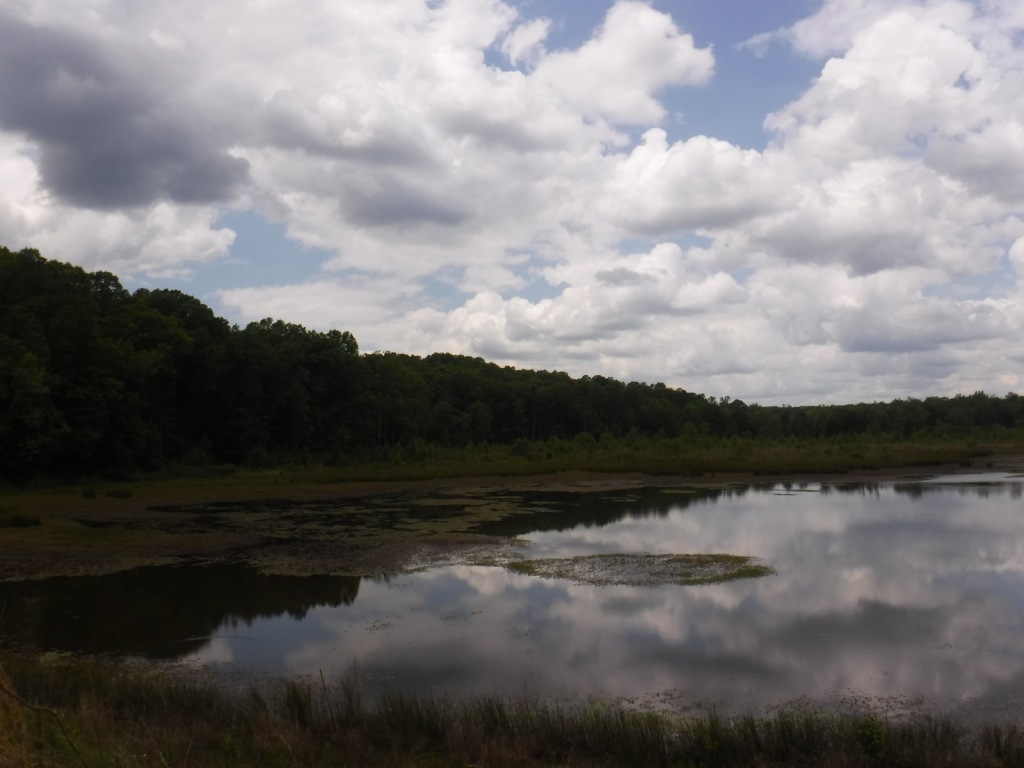
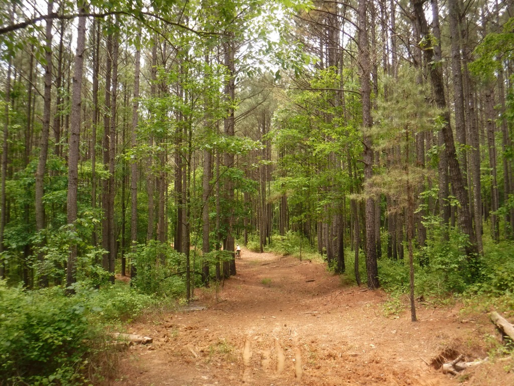
Open to hikers, mountain bikers, and horseback riders, North Cypress Non-Motorized Trail makes a three-mile loop marked by white blazes on trees through a lush green forest. The most scenic stretch crosses the earthen dam creating North Cypress Lake where sweeping views allow for bird watching. There are also short hiking trails at Chewalla Lake, Baker’s Pond, and Puskus Lake.
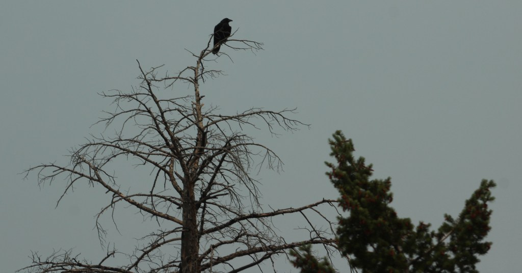
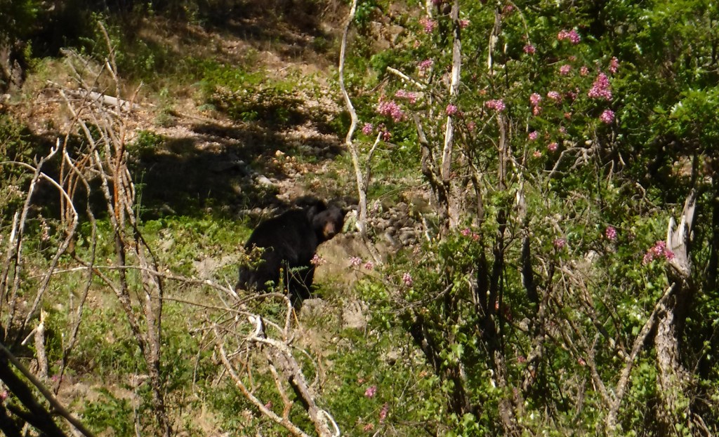
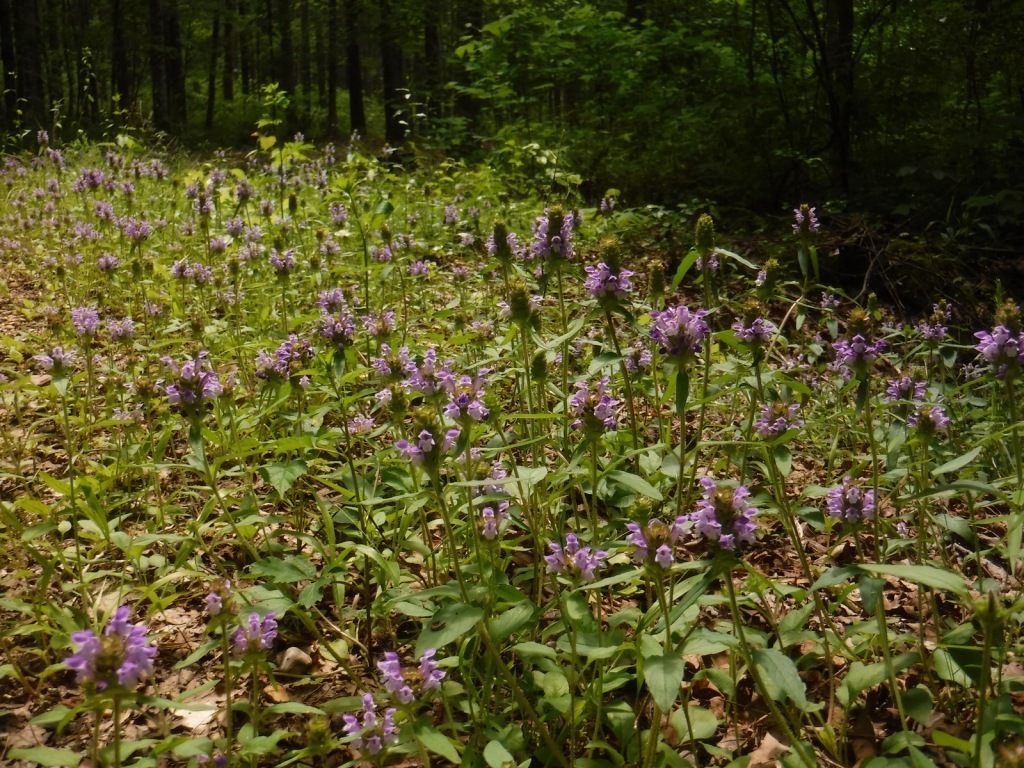
Watchable Wildlife
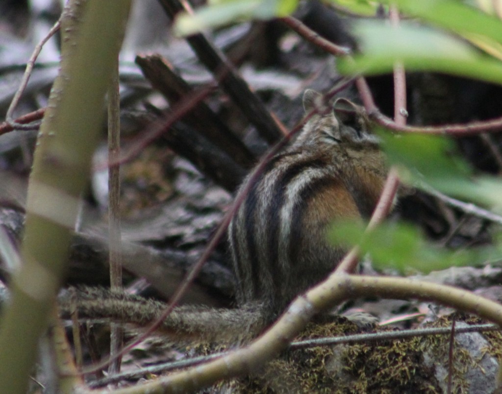
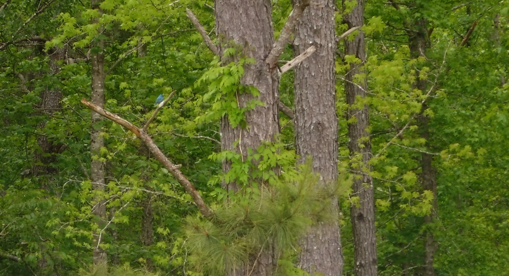
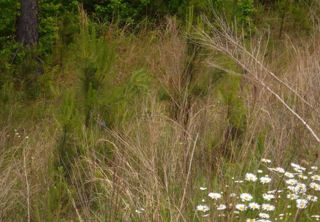
The National Forest’s lakes have largemouth bass, bluegill, catfish, and crappie that attract fishermen. The forest also provides habitat for white-tailed deer, fox squirrels, raccoons, and wild turkeys. We saw a red fox and our first indigo bunting on the North Cypress Non-Motorized Trail.
Instagram-worthy Photo
We spotted our first indigo bunting on the dam at North Cypress Lake, but did not have a zoom lens on hand.
Peak Season
Spring and fall
Fees
Chewalla Lake Recreation Area charges a day use fee of $5 per vehicle or America the Beautiful pass (half price with the Senior or Access Passes). Puskus Lake charges $3 per day and $7 for camping.
Road Conditions
The William Faulkner Memorial Highway (Highway 30) is paved and the dirt roads off it to North Cypress Lake and Puskus Lake were in good enough shape for our passenger vehicle.
Camping
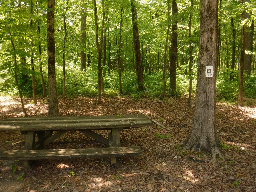
Free primitive camping is allowed at designated sites around the parking area for North Cypress Lake (see Best Trail), 0.6 miles south of Highway 30. There is large campground on the west side of Chewalla Lake, offering nine sites with hookups ($20 per night) and 27 without ($7). Free camping for only one night is allowed at Lake Tillatoba, only three miles off Interstate 55.
Wilderness Areas
None
Related Sites
Bienville National Forest (Mississippi)
Brices Cross Roads National Battlefield Site (Mississippi)
Shiloh National Military Park (Tennessee-Mississippi)
Nearest National Park
baldcypress, loblolly pine, shortleaf pine
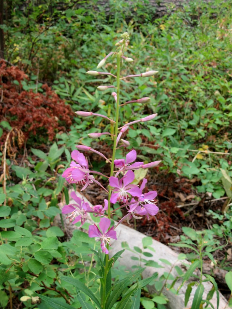
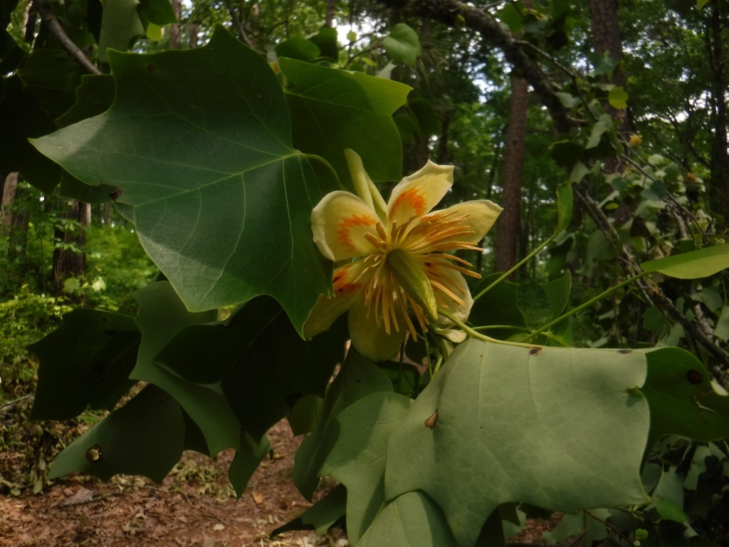
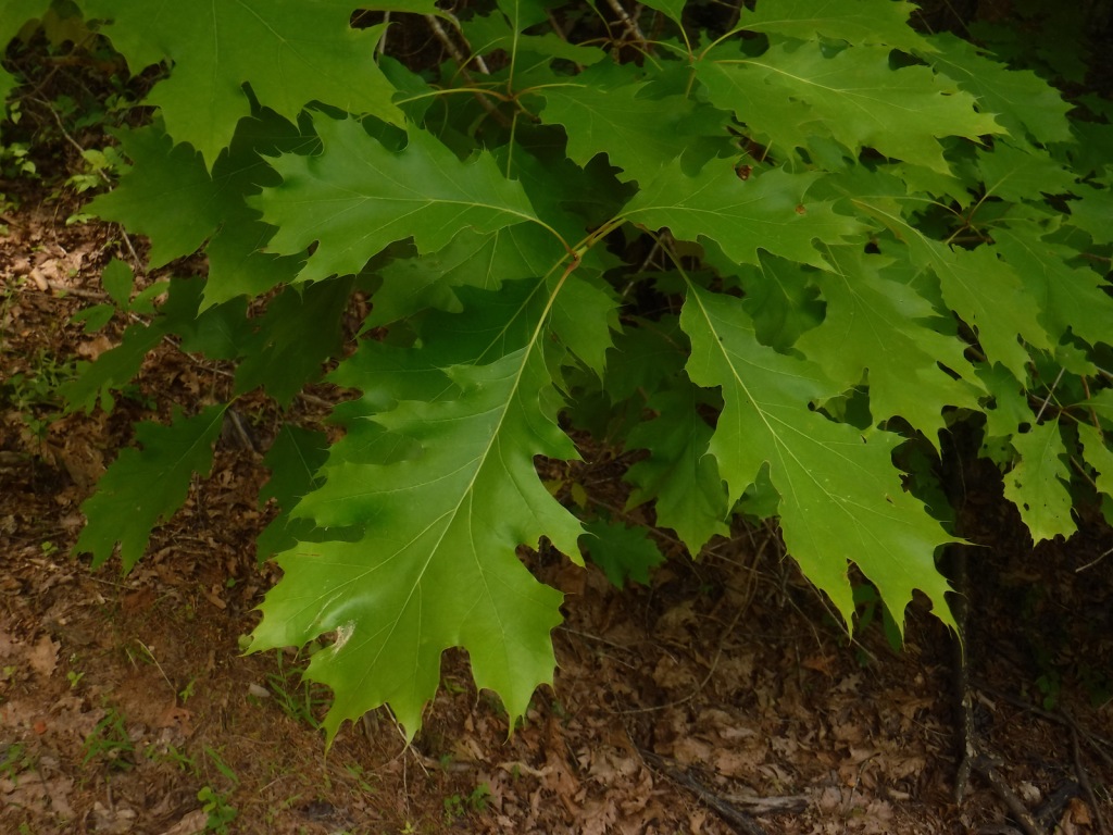
white oak, northern red oak, southern red oak, black oak, bitternut hickory, mockernut hickory, slippery elm, black cherry, flowering dogwood, redbud, tulip-poplar, black gum, basswood, hackberry, sweetgum, red maple, white ash, green ash, pumpkin ash, tupelo gum, American elm
Explore More – In 1983, which presidential administration proposed auctioning off the entirety of Holly Springs National Forest?

Learn more about this and the 154 other National Forests in our new guidebook Out in the Woods