Sawtooth National Recreation Area
Idaho
Managed by U.S. Forest Service, Intermountain Region
730,864 acres
Website: https://www.fs.usda.gov/recarea/sawtooth/recarea/?recid=5842
Overview
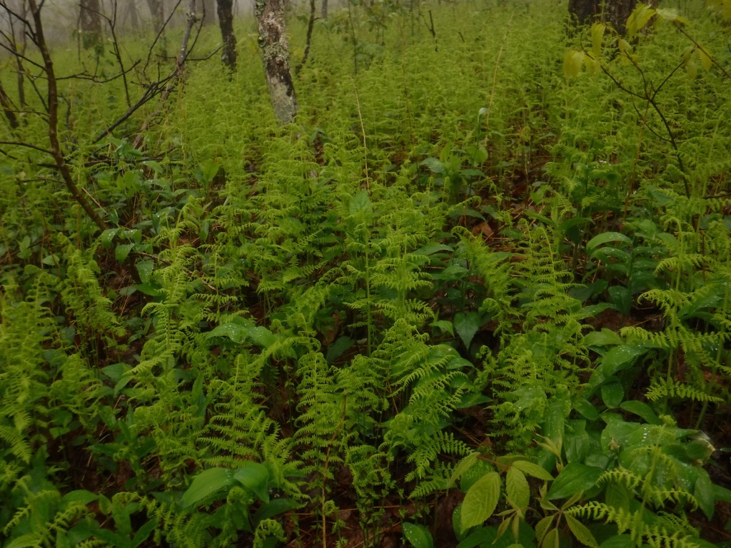
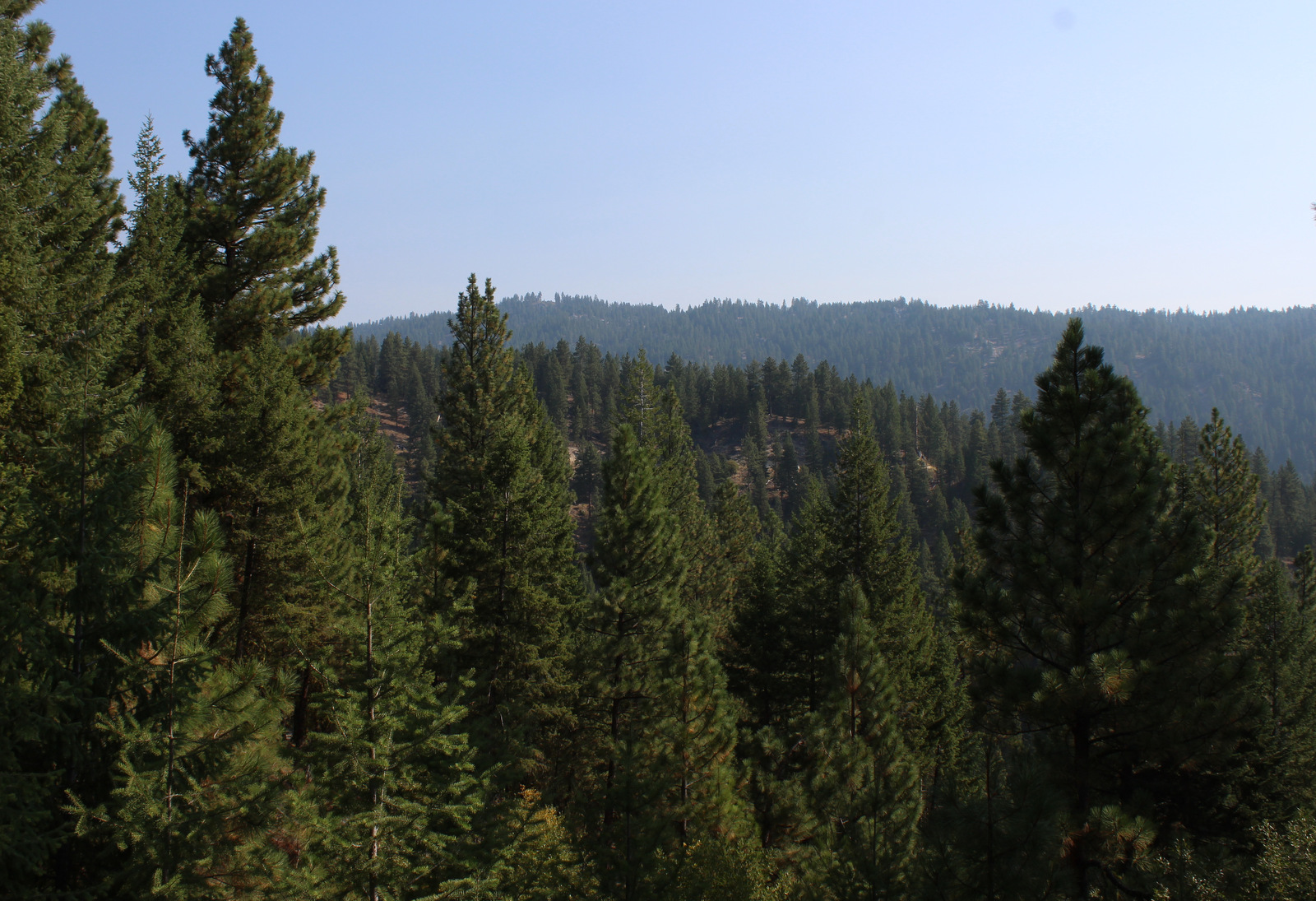
Sawtooth National Recreation Area claims some of the most incredible mountain scenery in the heart of Idaho and spreads across Boise, Challis, and Sawtooth National Forests. According to a U.S. Forest Service publication, the 217,088-acre Sawtooth Wilderness claims the cleanest air in the continental United States, and it also contains over 270 miles of trails so there is plenty to explore. In addition to the jagged peaks in the spectacular Sawtooth Wilderness, in 2015 President Obama signed the Sawtooth National Recreation Area and Jerry Peak Wilderness Additions Act creating three new Wildernesses that cover an additional 275,665 acres.

Highlights
Sawtooth Scenic Byway, Galena Overlook, Redfish Lake, Salmon River Scenic Byway, Stanley Lake, Cramer Divide, Alpine Lake (there are actually two in different places), Baron Lakes, Sawtooth Lake
Must-Do Activity
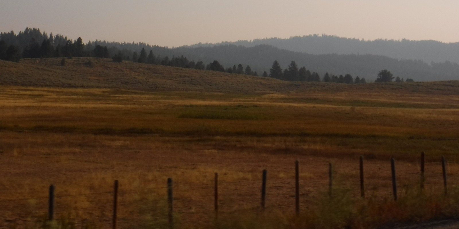
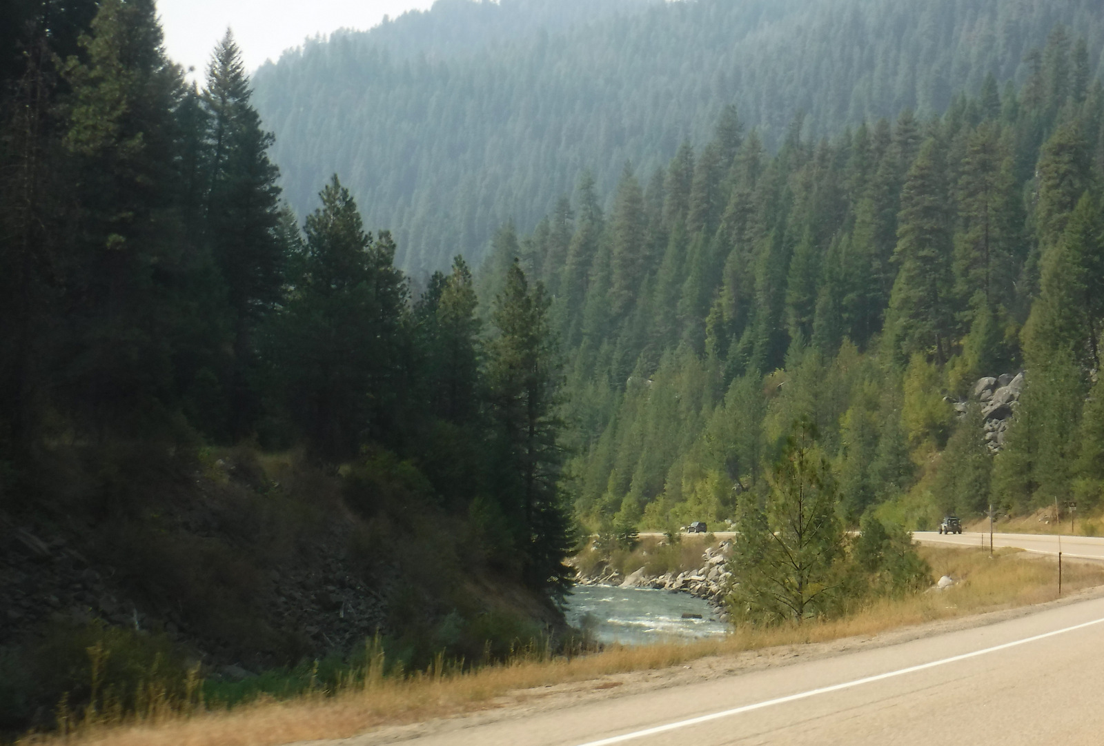
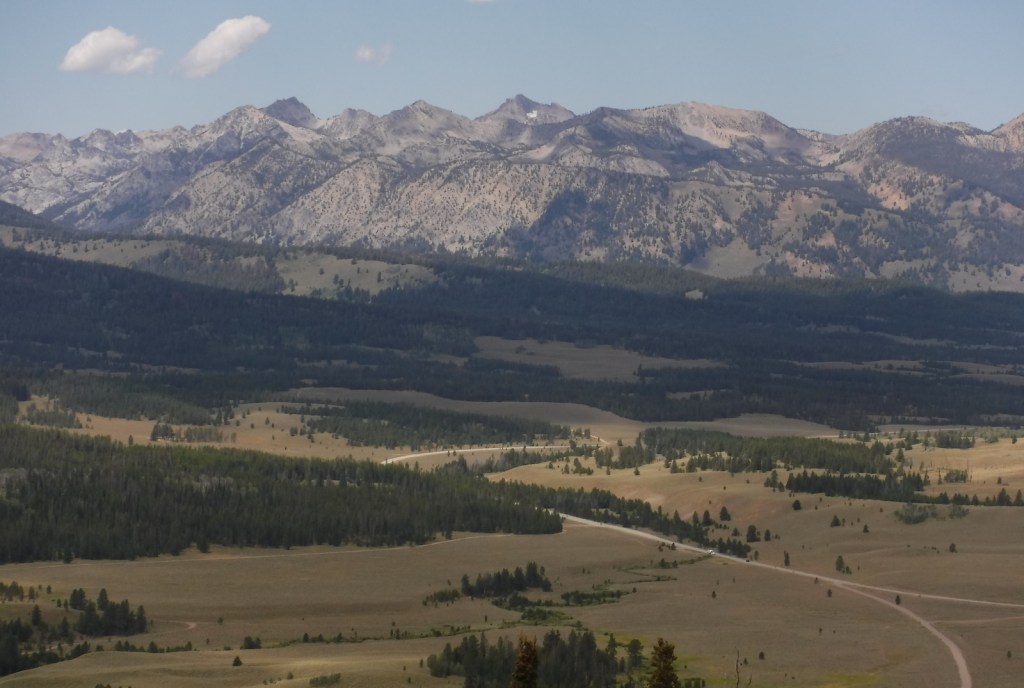
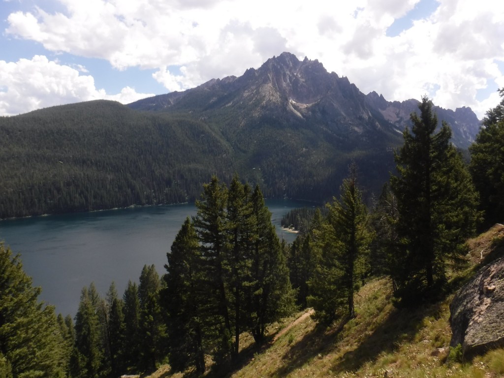
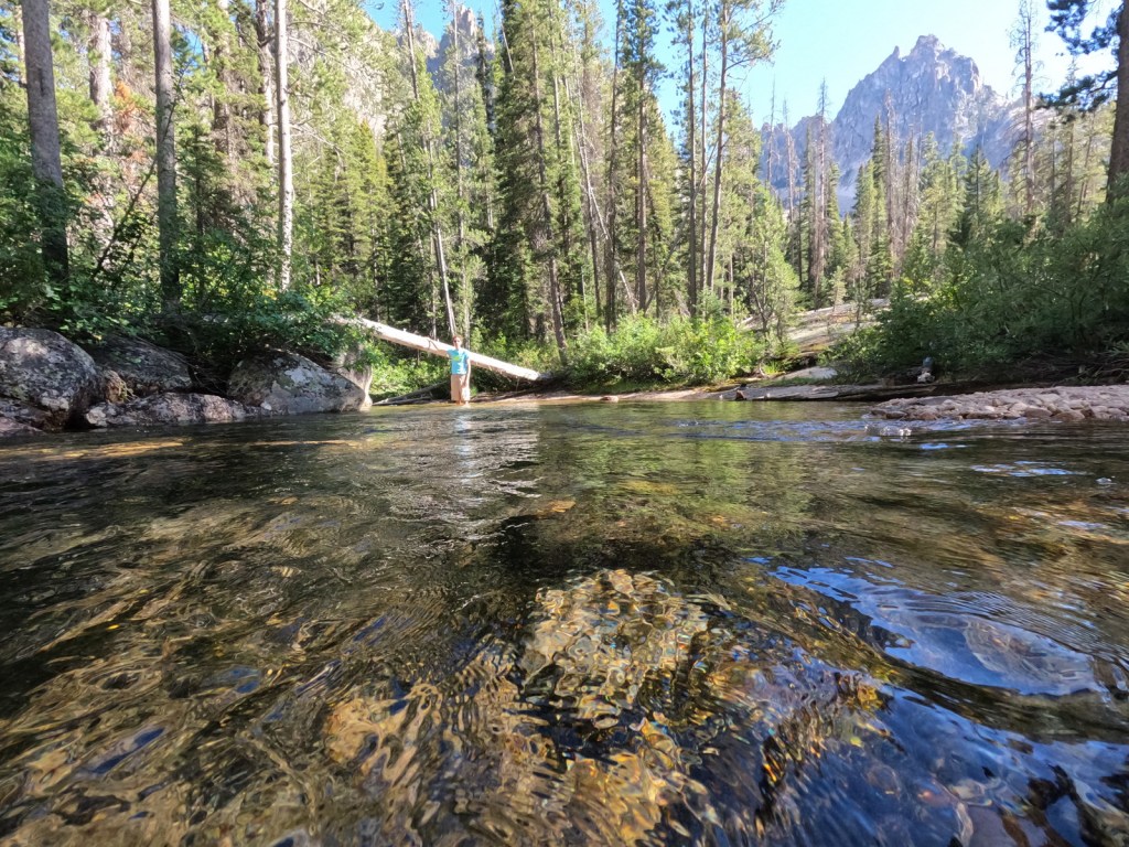
On our first drive north on Highway 75, we were not prepared for the beautiful mountain views once we summited 8,701-foot Galena Pass. It was also a good observation point for a wildfire burning alongside the highway. The date it ignited was July 4th, 2014 and it was burning near Fourth of July Creek, so naturally it was named the Hell Roaring Fire. According to Inciweb it eventually closed the road and burned 325 acres. Once through the smoke, we had great views of the Salmon River Valley on our way to scenic Redfish Lake, which is named for the endangered sockeye (or red) salmon that travel 900 miles and gain 6,500 feet in elevation to arrive here for spawning. The lake also has chinook (or king) salmon and kokanee salmon (landlocked sockeyes that are not anadromous). We returned in 2022 to backpack 40 miles on trails off of Redfish Lake Creek.
Best Trail
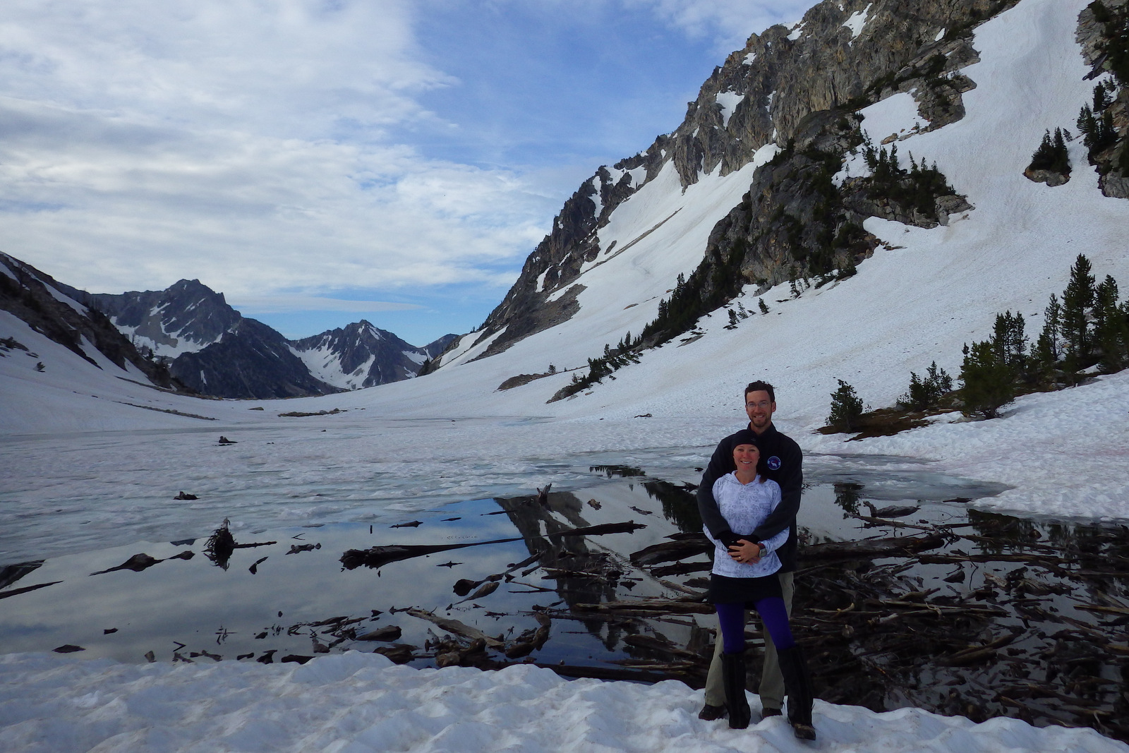
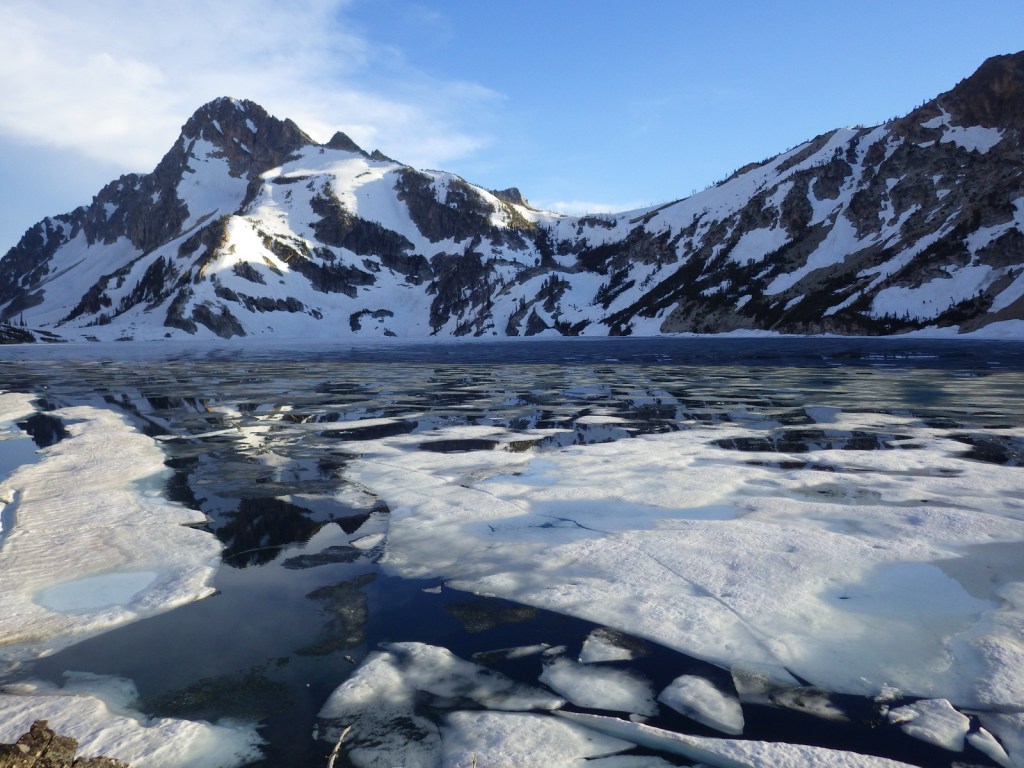
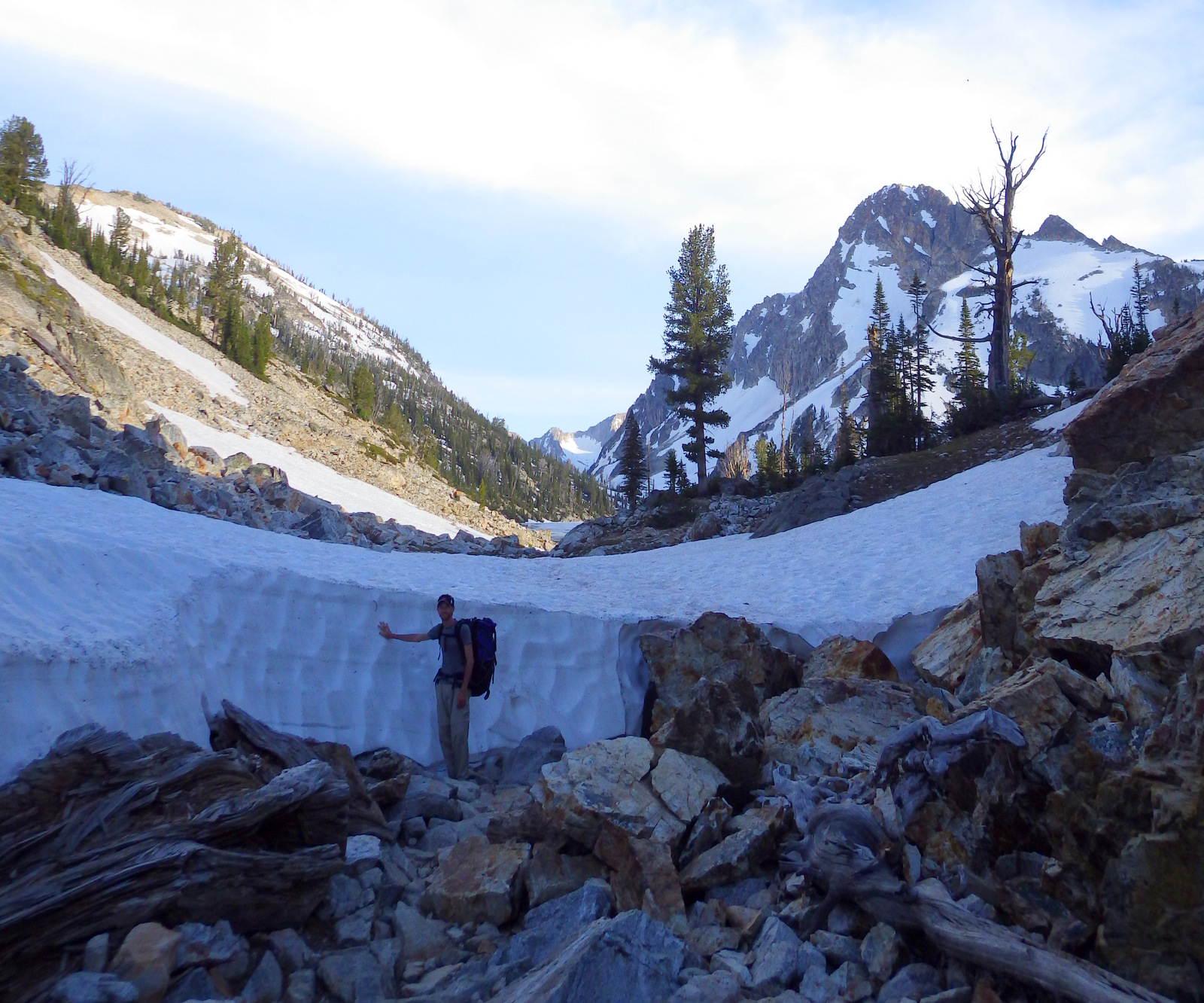
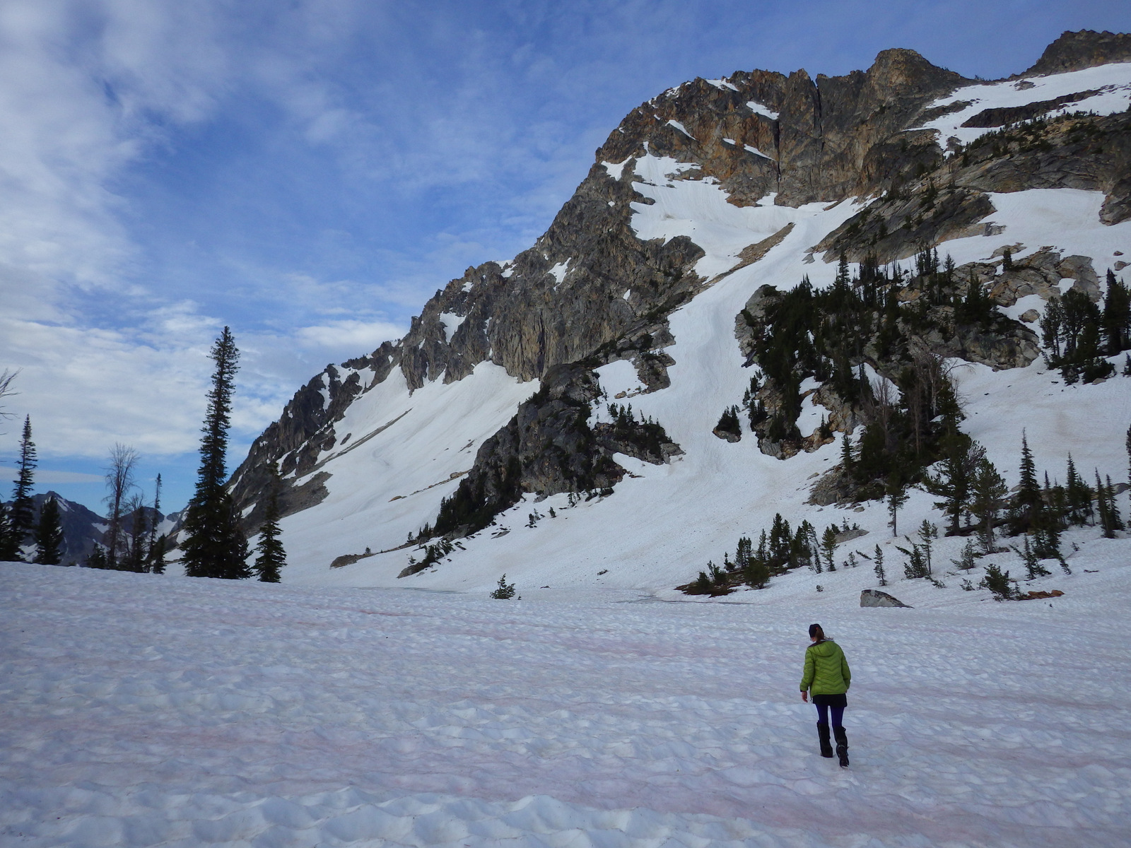
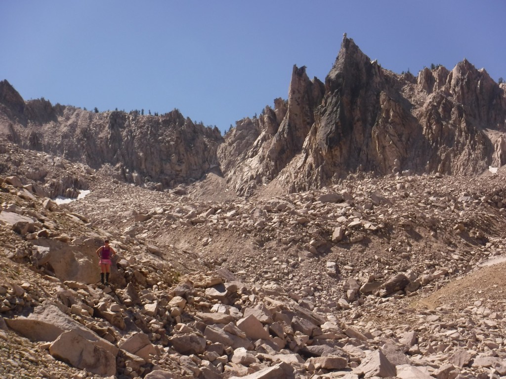
From Iron Creek Trailhead it is 11 miles roundtrip out-and-back with an elevation gain of 1,700 feet to access Sawtooth Lake. As we hit 8,400 feet in elevation, the ponds were still predominantly frozen over and covered in snow. We were initially disappointed, as we had originally considered stopping halfway up the trail at deep blue Alpine Lake thinking nowhere could be prettier. Then we rounded a bend and realized we were wrong. Our first view of Sawtooth Lake was a soul stirring sight (see Instagram-worthy Photo below). A surprisingly warm night revealed an incredible firmament above snow-striped mountain peaks that seemed to glow in the dark. In the morning the quiet here was profound, broken only by the occasional peep of a pika scurrying through the talus slope. We found it hard to say goodbye to such a picturesque and revitalizing place.
Instagram-worthy Photo
On our first visit to Sawtooth Lake, snowy Mt. Regan was lit by the setting sun and reflected in open leads in the ice, glassy still but for the occasional ripple of a rising trout.
Peak Season
Late summer after the snow melts
Fees
None
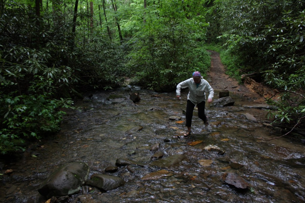
Road Conditions
The side road to Redfish Lake is paved and access to Iron Creek Trailhead was doable with our low-clearance passenger vehicle.
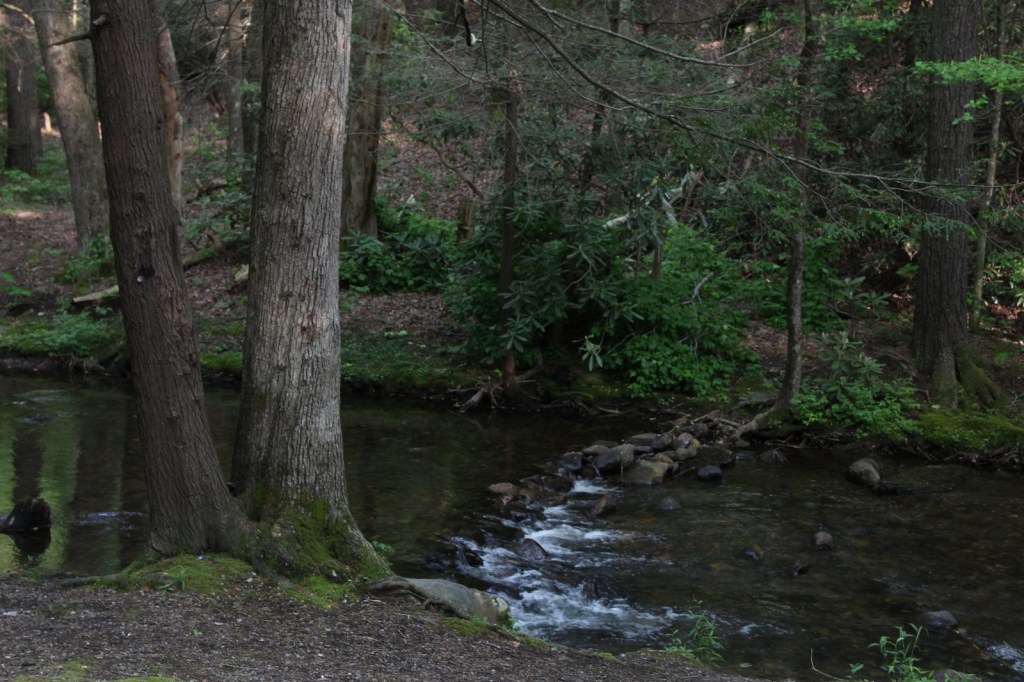
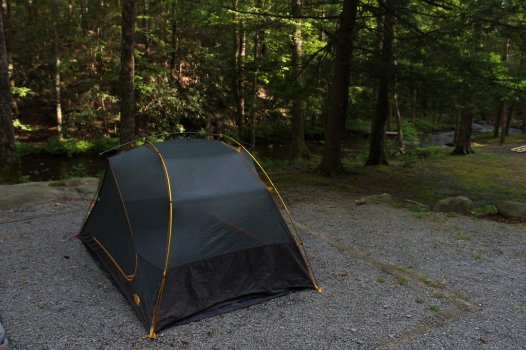
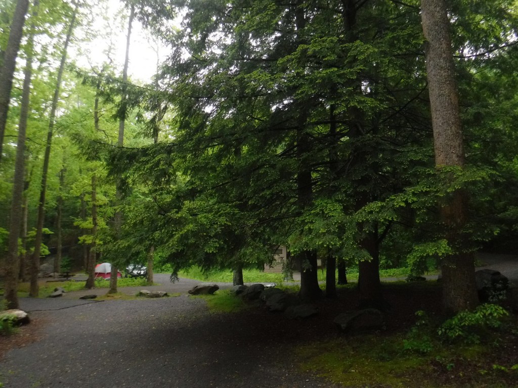
Camping
The shores of crystal-clear Redfish Lake have a lodge and four campgrounds near the scenic lake. Stanley Lake and Alturus Lake also have popular campgrounds.
Related Sites
City of Rocks National Reserve (Idaho)
Minidoka National Historic Site (Idaho-Washington)
Craters of the Moon National Monument and Preserve (Idaho)
Nearest National Park
Yellowstone (Wyoming-Montana-Idaho)


Explore More – When was Sawtooth National Recreation Area established?