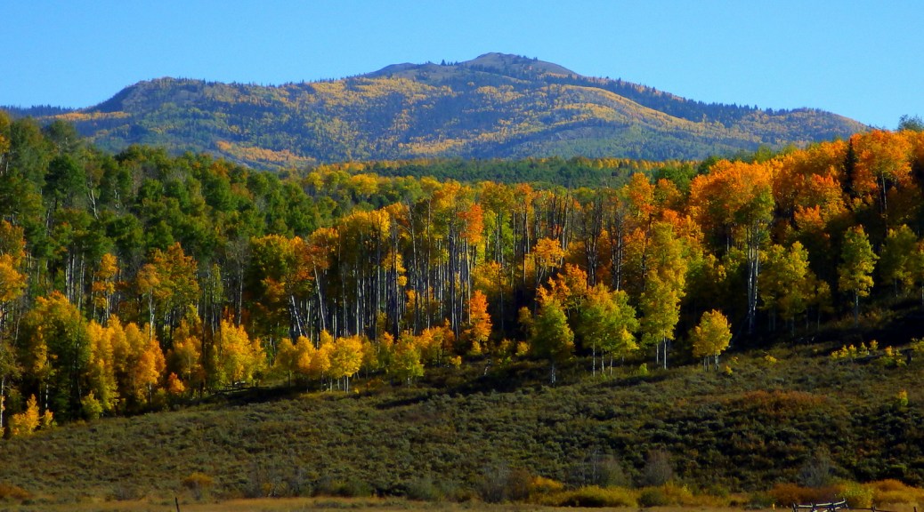
62,139,610 acres
Statehood 1890 (44th)
Capital: Cheyenne
Population: 576,851 (50th)
High Point: Gannett Peak (13,804 feet)
Best time of year: Summer, especially July
After publishing the guidebook 50 States of Great: Road Trip Guide to America, I have been creating blog posts with a travel itinerary for every state. After starting with Kansas, Georgia, Idaho, Rhode Island, Minnesota, Hawai‘i, Arizona, Louisiana, South Dakota, Indiana, Montana, and Mississippi, I decided to cover Wyoming where I lived for nearly 13 years (longer than any other state). I made an ambitious seven-day plan starting in the capital, with plenty of options to extend the trip. It would be easy to spend a week in Yellowstone National Park alone, so make a longer visit or plan a return trip in the future.
Day 1
Cheyenne
Held the last full week of July, Cheyenne Frontier Days Rodeo is considered “The Daddy of ’em All” and has been held annually since 1897 in the state’s capital city. It is easy to spend several days exploring local museums and attending the free air show put on by the U.S. Air Force Thunderbirds, four Western Heritage Parades, performances at Indian Village, and three free pancake breakfasts. Daily gunfights are put on throughout the summer by the Cheyenne Gunslingers near the Railroad Depot Museum.

Medicine Bow National Forest (click here for our blog post)
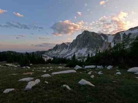
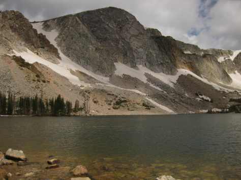
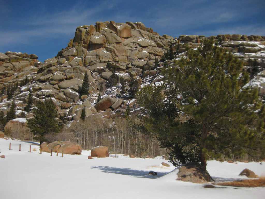
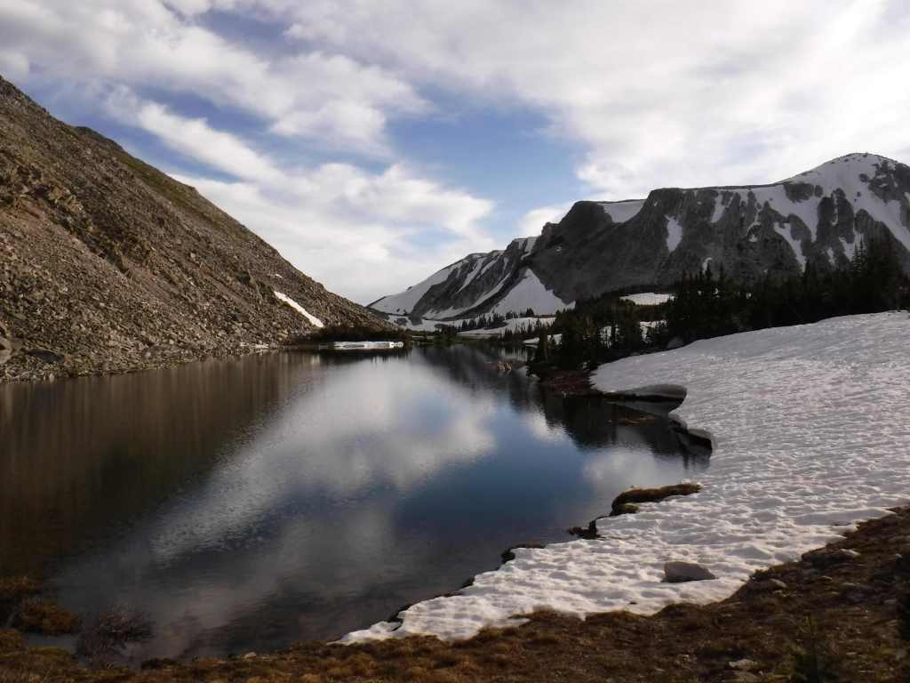
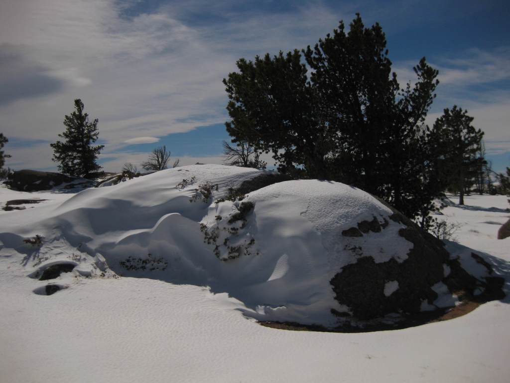
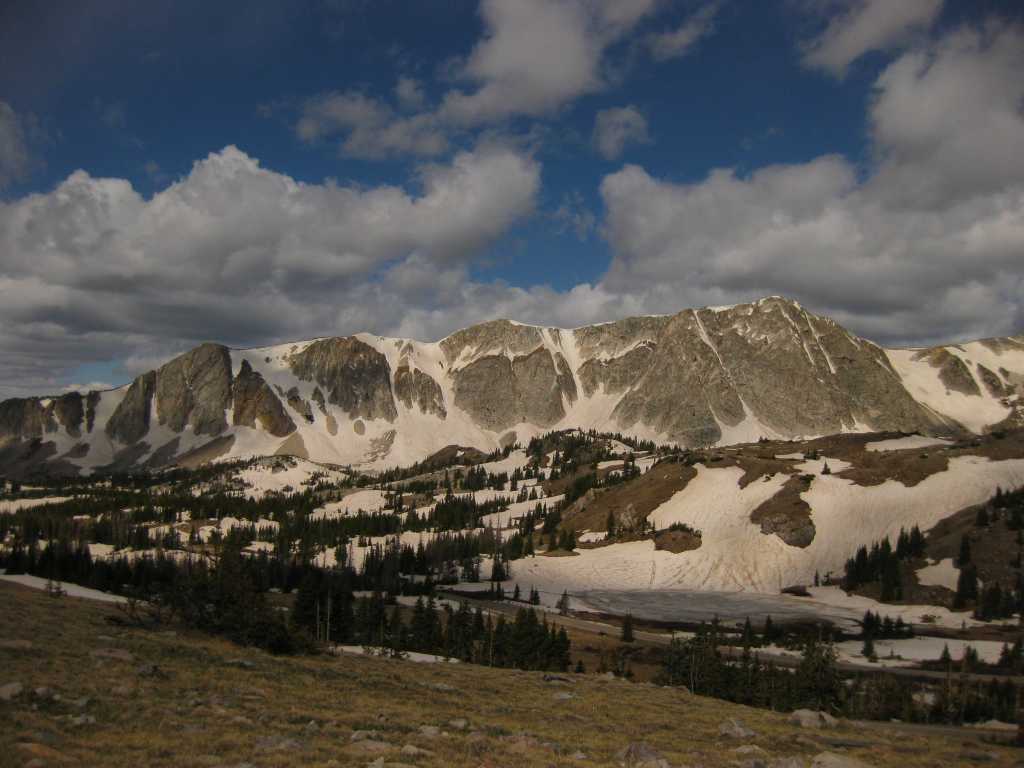
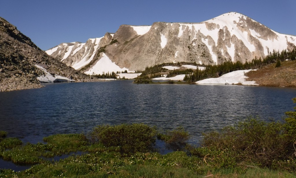
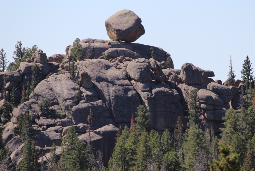
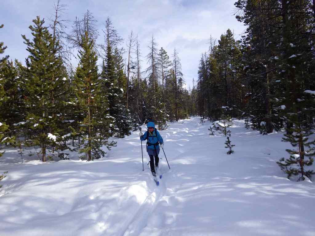
If you need a break from the rodeo and concert crowds, head 40 minutes west on Interstate 80 to hike at rocky Vedauwoo Recreation Area. The National Forest also contains its namesake 12,013-foot mountain on the Colorado border. The Snowy Range Scenic Byway cuts across this rugged landscape and is a great place for outdoor recreation. If you pass through Saratoga on the west side of the peaks, soak at the free Hobo Pool, the town’s developed hot springs (with indoor showers).
Optional stop at Fort Laramie National Historic Site (click here for our blog post)
Originally founded in 1834 for its strategic location at the confluence of two rivers, the fort was purchased by the U.S. military in 1849. In the summer, stop into the bar for a cold sarsaparilla or attend July 4th festivities. West of the fort, at Register Cliff and Oregon Trail Ruts State Historic Site pioneers left their marks along the North Platte River.
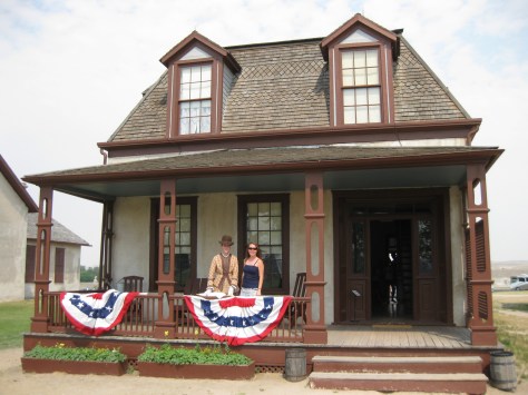
Optional stop at Quebec-01 Missile Alert Facility State Historic Site
The newest State Park in Wyoming preserves a nuclear missile command center manned nonstop for decades by the U.S. Air Force. Underground tours are offered for a small fee.
Day 2
National Trails Interpretive Center
In Casper, this free museum is run by the Bureau of Land Management on a hill above where the Pony Express, Mormon Pioneer, Oregon, and California National Historic Trails all ran along the North Platte River in the 1800s. Fort Caspar Museum also celebrates its trail town history.
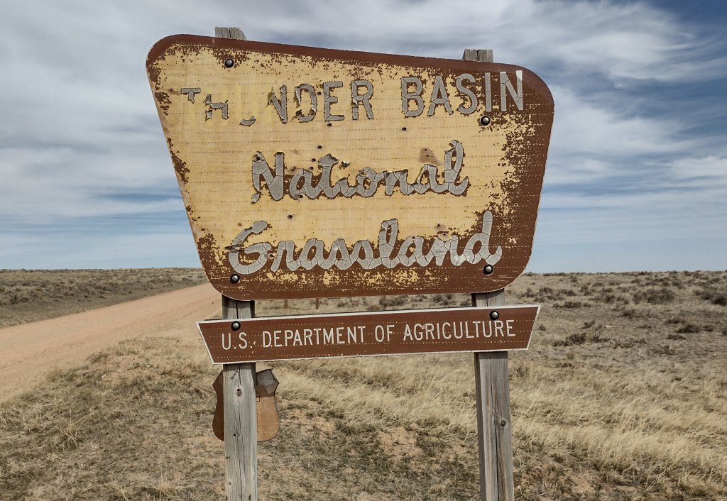
Optional stop at Thunder Basin National Grassland (click here for our blog post)
Mostly undeveloped for tourists, Weston Recreation Area is located 30 miles north of Gillette off Highway 59 with at least 15 miles of Off-Highway Vehicle (OHV) trails. Fishing for warm water species like smallmouth bass and bluegill is possible at several reservoirs. On moonless nights, the stars in this part of the state are epic.
Optional stop at Devils Tower National Monument (click here for our blog post)
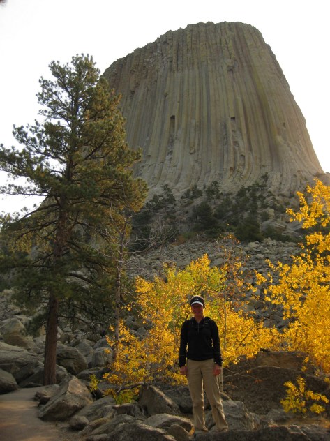
Devils Tower was named the nation’s first National Monument by President Teddy Roosevelt in 1906. If you look closely, the vertical columns of the 867-foot-tall volcanic formation may hold a few rock climbers dwarfed by the scale. It is often easier to reach this northeast corner of Wyoming while visiting the Black Hills of South Dakota.
Day 3
Bighorn National Forest (click here for our blog post)
The Bighorn Mountains are crossed by three scenic byways: Cloud Peak Skyway, Bighorn Scenic Byway, and Medicine Wheel Passage. Located right off Bighorn Scenic Byway (Highway 14) is 120-foot-tall Shell Falls, while accessing the short trail to 600-foot Bucking Mule Falls involves driving about ten miles of dirt roads.
Optional stop at Sheridan
Sheridan sits at the base of the Bighorn Mountains, where Trail End State Historic Site, Fort Phil Kearny State Historic Site, and several museums celebrate its frontier history.
Optional stop at Bighorn Canyon National Recreation Area (click here for our blog post)
Devil Canyon Overlook and most of the 27 miles of hiking trails are in the Wyoming section of the park along with Pryor Mountain Wild Horse Range, Hillsboro Dude Ranch, and several tipi rings found along Bad Pass Trail, a route which has seen over 10,000 years of human use.
Day 4
Shoshone National Forest
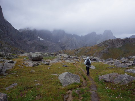
Considered the first protected forest in American history dating to 1891, this National Forest encompasses incredible scenery, more than 1,300 miles of hiking trails, and tallest mountain in Wyoming.
Cody
Cody is the gateway to Yellowstone National Park’s eastern entrance and holds a nightly rodeo during the summer. It is also home to an excellent and eclectic museum called the Buffalo Bill Center of the West.
Optional route on Beartooth Highway
U.S. Route 212 is an All-American Road that crosses a high-elevation plateau on the Montana border before entering the northeast corner of Yellowstone National Park. Chief Joseph Scenic Byway (Highway 296) connects Cody with the Beartooth Highway.
Day 5
Yellowstone National Park (click here for our blog post)
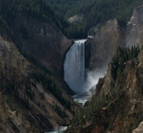
The world’s first National Park was created in 1872 and surrounds the giant 45-mile-wide caldera of a supervolcano. This geologic wonderland contains more than 50% of the world’s geysers and is a haven for wildlife that is best seen in the Hayden and Lamar Valleys. The park has countless waterfalls, including the 308-foot-tall Lower Falls that can be viewed from famous overlooks like Artist Point and Inspiration Point, or you can hike the steep, paved trail 600 feet down to the Brink of Lower Falls for unforgettable views of the canyon, especially on sunny days when a rainbow appears in its spray.
Optional stop at Gallatin National Forest (click here for our blog post)
It can be hard to get a reservation to stay inside the park overnight, so many visitors cross the border into Montana to the towns of Gardiner or West Yellowstone. Campgrounds, dispersed camping, and backpacking are also options in Montana’s Gallatin National Forest.
Day 6
Yellowstone National Park (click here for our blog post)
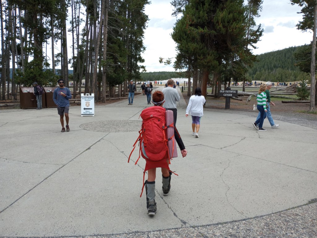
Wherever you spend the night, make sure to visit Lower Geyser Basin the next day. This is where Old Faithful can shoot water up to 185 feet in the air. Since the occurrence of several earthquakes, it is no longer as consistent as its name suggests, but its eruptions can be accurately predicted every 60 to 110 minutes throughout the day. Nearby, Grand Prismatic Spring in Midway Geyser Basin is definitely worth a stop, especially from an overlook along Fairy Falls Trail.
Grand Teton National Park (click here for our blog post)
Jenny Lake sparkles below 12,325-foot Teewinot Peak and is the trailhead for popular Cascade Canyon Trail (you can take the shortcut aboard a shuttle boat for a fee). There are plenty of activities other than hiking, which include wildlife watching, boating, horseback riding, mountain climbing, whitewater rafting, or cross-country skiing in the winter.
Jackson
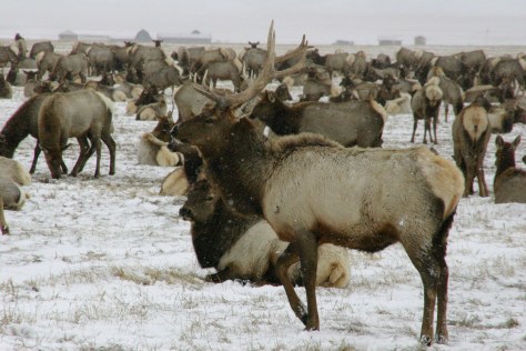
Crowded in the summer, Jackson is famous for its four arches in its town square that are built from shed elk antlers found in the National Elk Refuge. Horse drawn carriage rides into the middle of the wintering elk herds are a popular winter attraction in the refuge. Right in town in the summer, Bar T 5 offers wagon rides and chuckwagon dinners with live entertainment.
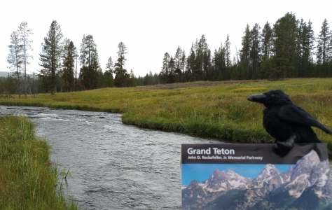
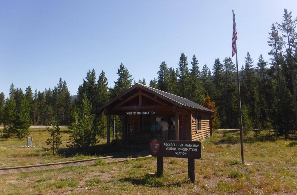
Optional stop at John D. Rockefeller Jr. Memorial Parkway (click here for our blog post)
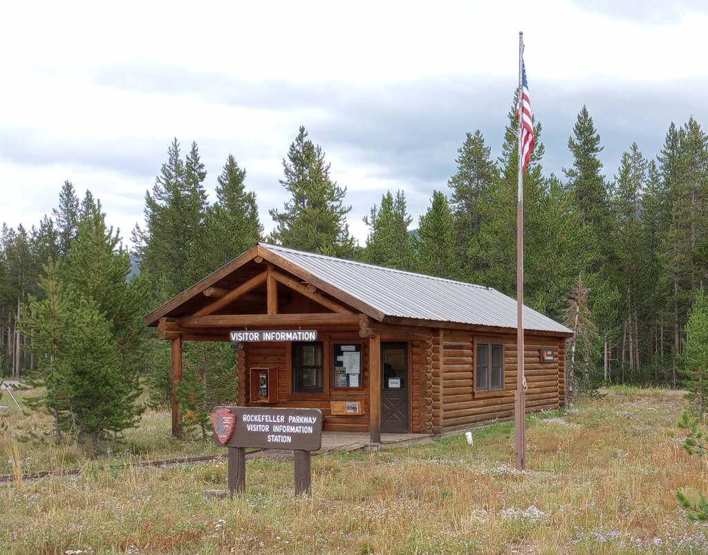
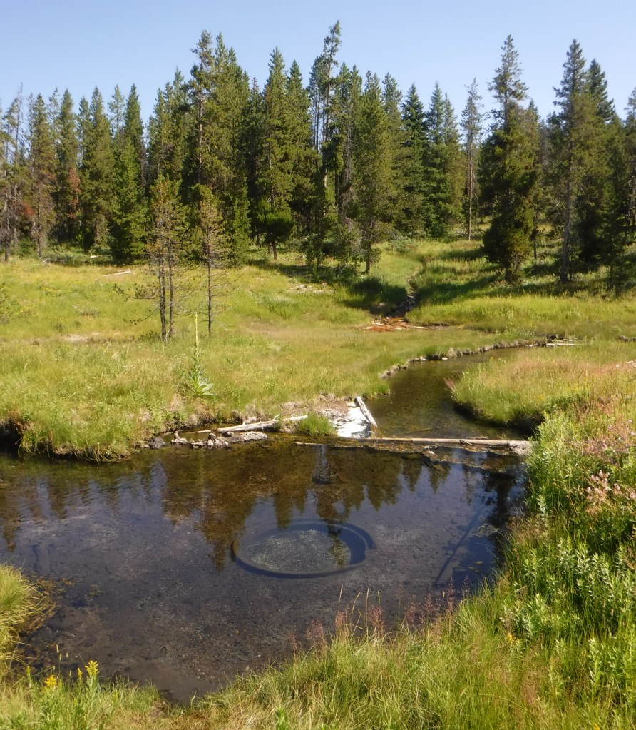
This is the road connecting Yellowstone and Grand Teton National Parks, so visiting here is not really optional, but stopping to hike to Polecat Hot Springs for a soak is worth the time.
Day 7
Teton National Forest
South of Jackson, you can drive to pretty Granite Falls, a 50-foot-tall and 100-foot-wide cascade that was featured in the film A River Runs Through It (plus the falls has a hot springs across the river at its base). There are many hiking and camping options available throughout Teton National Forest.
Optional stop at Fossil Butte National Monument (click here for our blog post)
The visitor center displays fossil fish, turtles, and other species, and on the deck outside there is an awesome timeline that traces CO2 levels and life on Earth throughout geologic time. Take the steep steps up the Historic Quarry Trail to find fish fossils still in the rocks. Several companies on private property in the area allow visitors to pay to quarry their own fish fossils to keep.
Day 8+
Bridger National Forest (click here for our blog post)
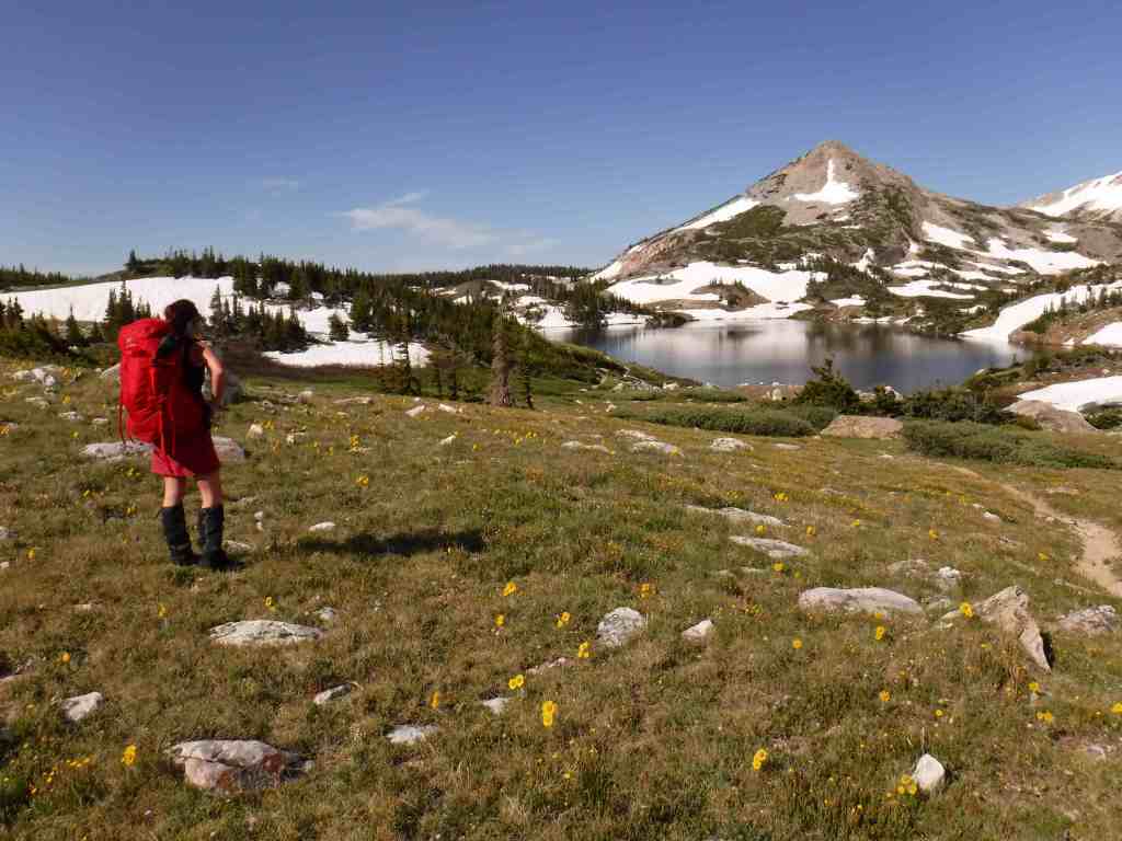
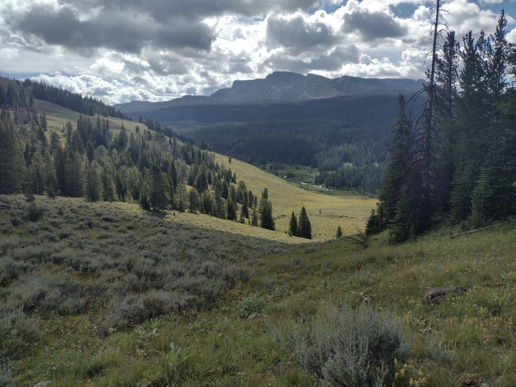
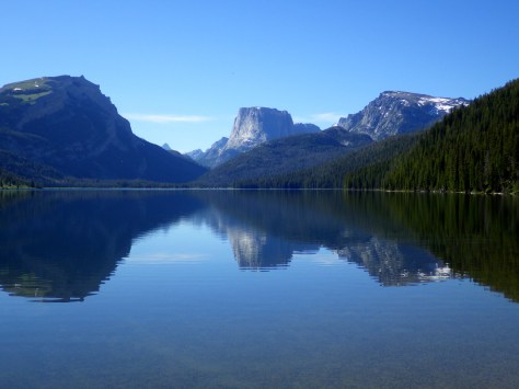
From Pinedale, a 50-mile (partially paved) drive leads to the campground at Green River Lakes, which opens up into a beautiful valley that frames photogenic Squaretop Mountain. Starting from the lakeside campground, the Highline Trail is a 72-mile trek that traverses the Wind River Range, my favorite mountain range in the world.
South Pass City
South Pass City State Historic Site is a well-preserved ghost town with 30 structures where kids will appreciate the irony that the Sweetwater County Jail later served as a classroom. The Continental Divide National Scenic Trail passes through the middle of the ghost town. Lantern-guided tours inside the nearby Carissa Gold Mine and Mill are available by reservation.
Some of the best dinosaur fossils in the world were found in Wyoming, and the little town of Thermopolis (home to the world’s largest mineral hot springs) has an excellent museum, plus visitors can schedule a trip to work alongside paleontologists at an active dig site in the summer.
Seedskadee National Wildlife Refuge
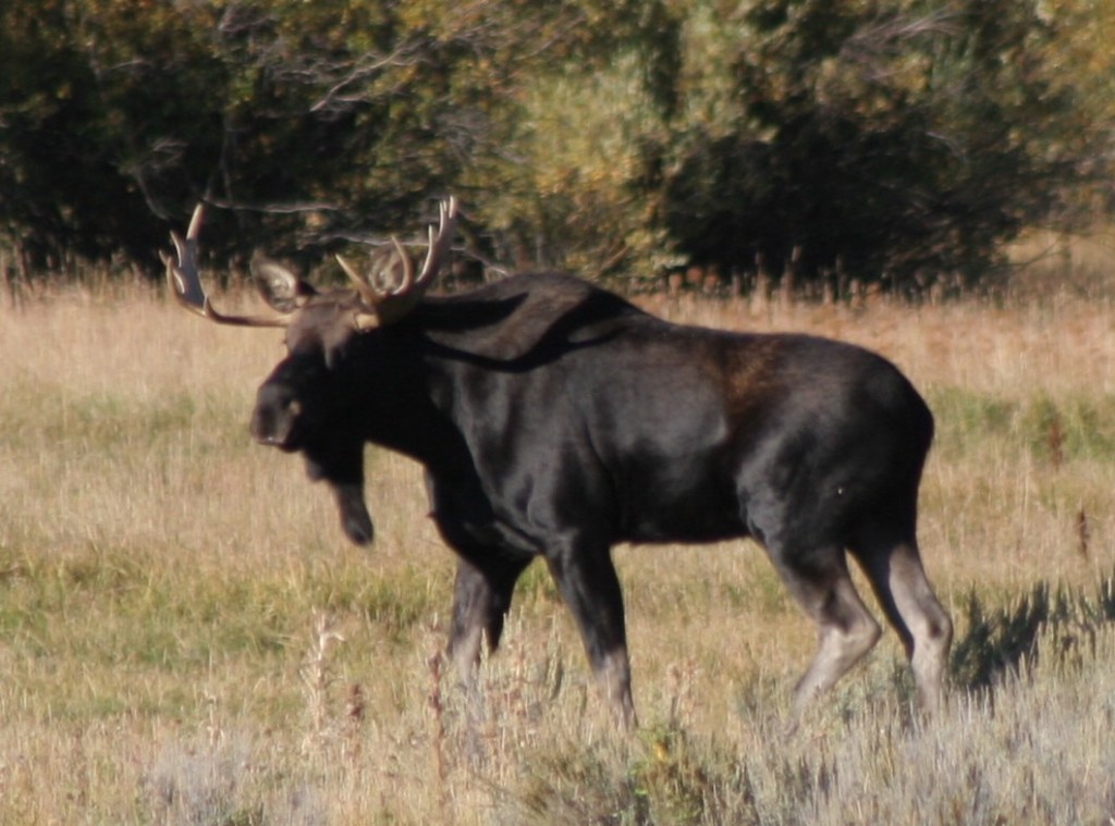
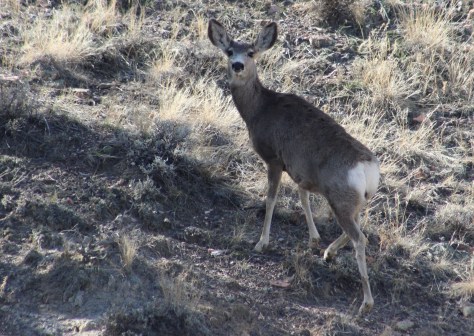
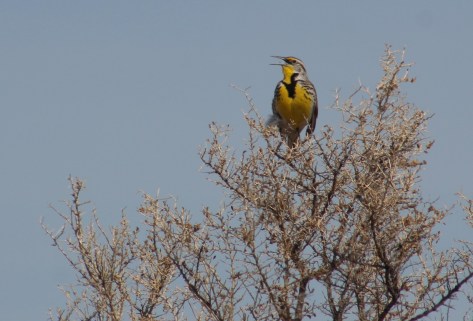
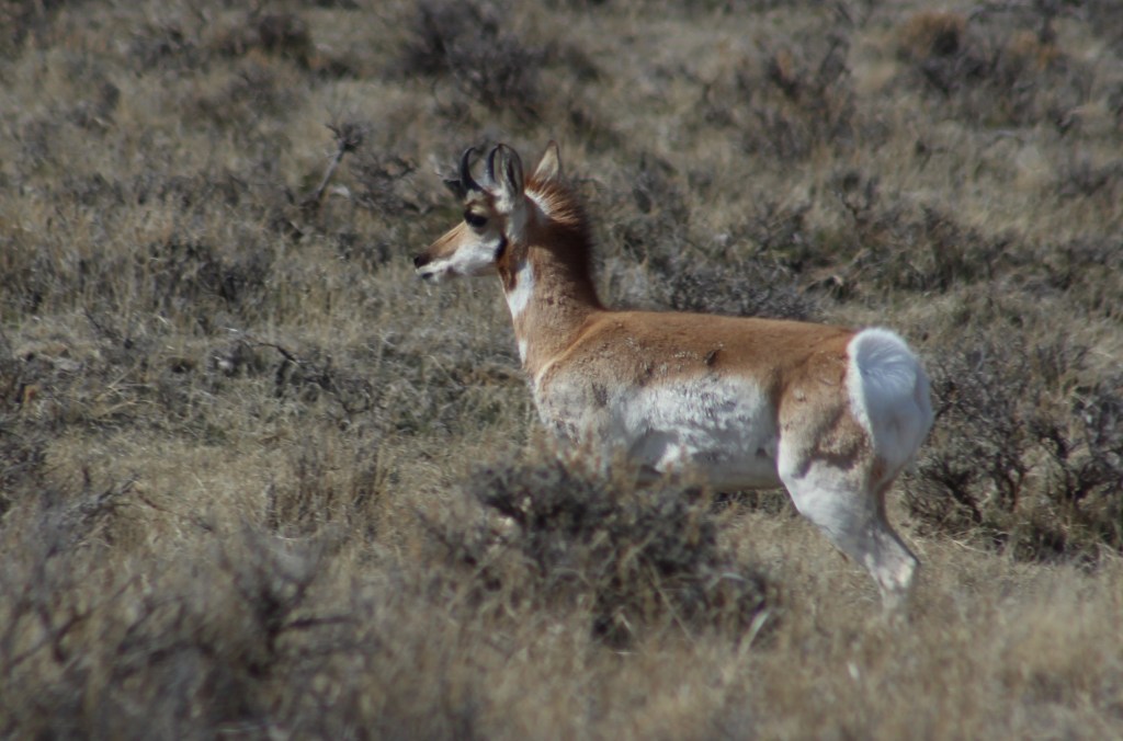
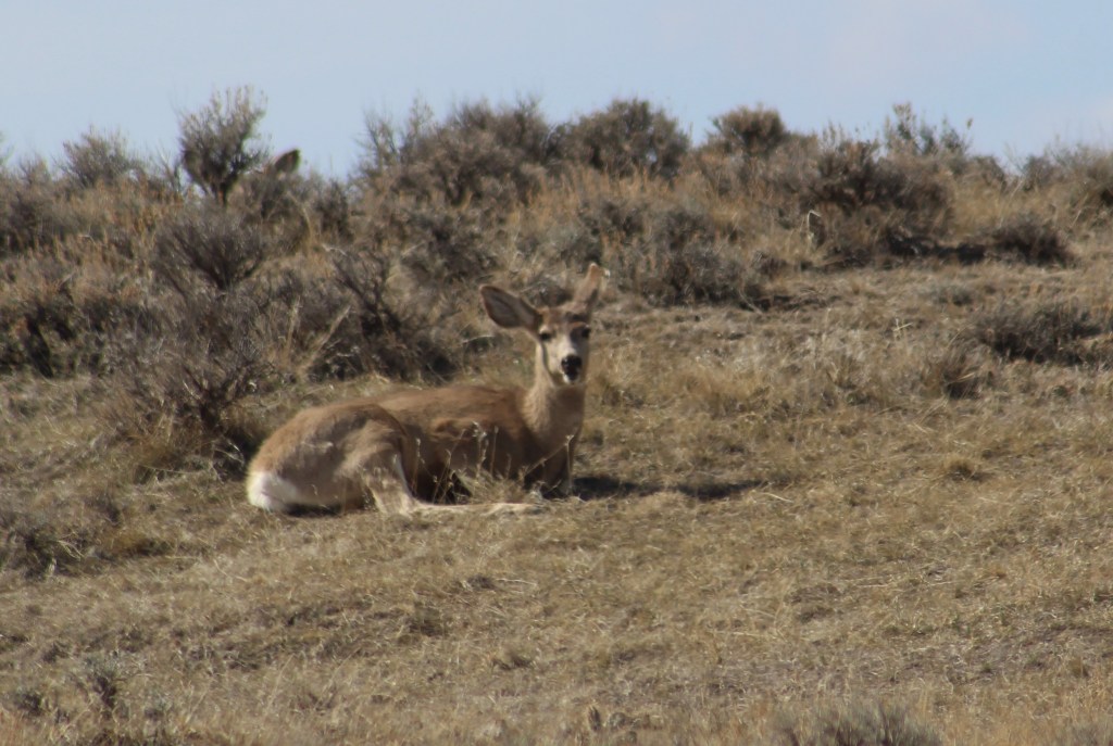
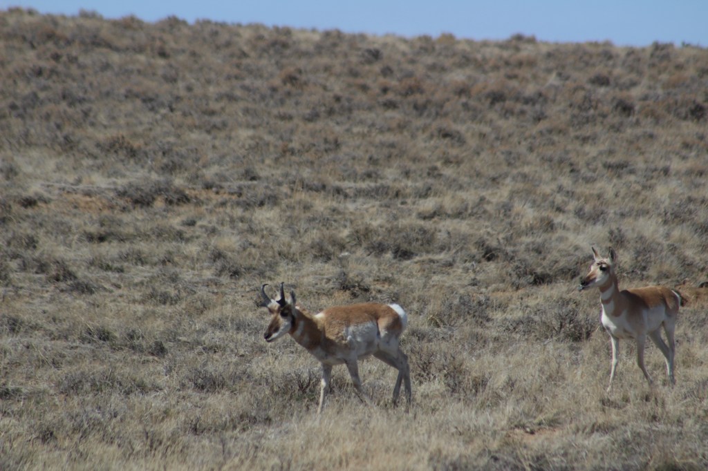
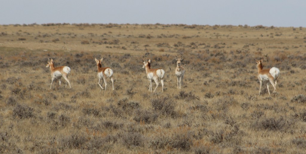
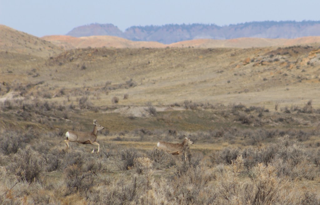
Along 36 miles of the Green River (Seedskadee means “river of the prairie hen”), 220 types of birds have been identified, and other species seen include pronghorn, mule deer, and moose.
Flaming Gorge National Recreation Area (click here for our blog post)
Flaming Gorge Reservoir on the Green River straddles the Wyoming-Utah border in the northern portion of Ashley National Forest offering 360 miles of shoreline, five full-service marinas, whitewater rafting, and numerous boat launches and campgrounds.
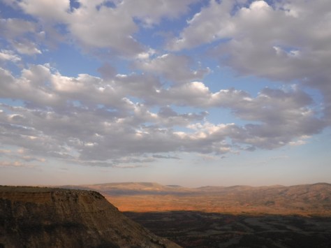
Killpecker Dunes
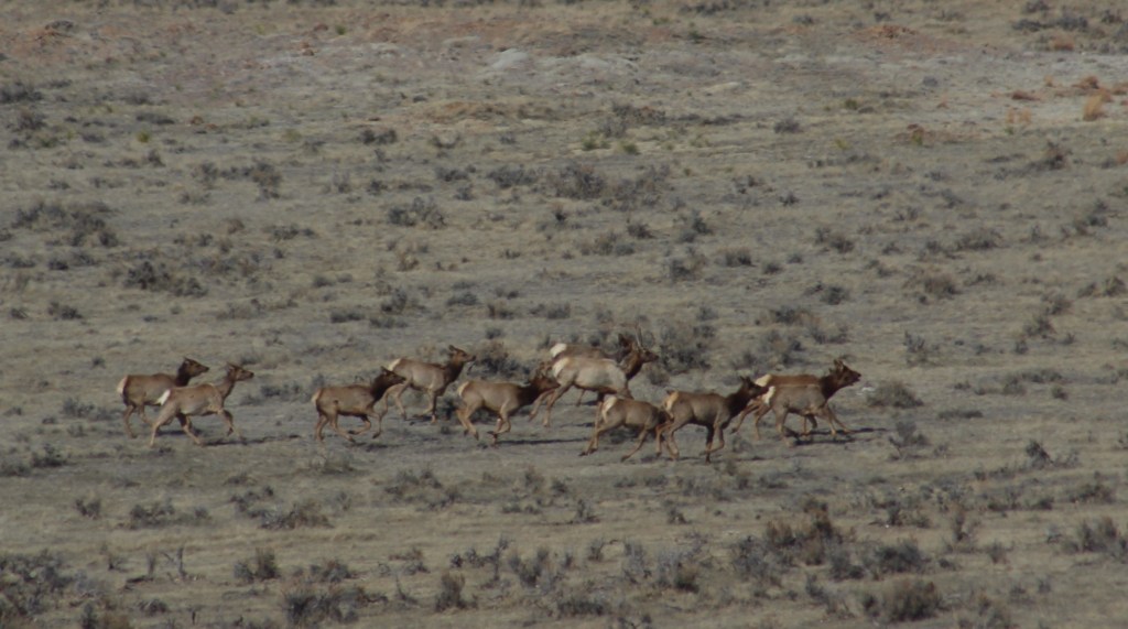
North of Rock Springs is North America’s largest active dune field in a remote area called the Red Desert, home to the nation’s only herd of desert-dwelling elk. The Bureau of Land Management allows dispersed camping throughout the region, including near the dramatic Boars Tusk rock formation and further south around the badlands of Adobe Town.

Learn more about Wyoming’s Most Scenic Drive, Wonderful Waterfall, Top State Park, and other categories in our travel guidebook 50 States of Great: Road Trip Guide to America..