Tag Archives: high point

Challis National Forest

Challis National Forest

Idaho

Managed by U.S. Forest Service, Intermountain Region

2,488,105 acres (2,463,471 federal/ 24,634 other)

Website: https://www.fs.usda.gov/scnf/

Overview

Challis National Forest covers the southern portion of the co-managed Salmon-Challis National Forest in central Idaho.  It includes the northern parts of Sawtooth National Recreation Area and a section of the Salmon Wild and Scenic River, as well as several northwest-southeast running mountain ranges.  In the forest’s scenic Lost River Range, 12,667-foot Borah Peak is the highest point in Idaho.  Further south near Arco, a steep half-mile trail leads to King Mountain Natural Arch in Bridge Canyon, a limestone formation with an 80-foot span. 

Highlights

Salmon River Scenic Byway, Stanley Museum, Sunbeam Hot Springs, Custer Adventure Motorway, Yankee Fork Hot Springs, Lemhi Range, White Knob Mountains, Camas Meadows, Challis Creek Lakes, Hidden Mouth Cave, Sawtooth Lake, White Cloud Peaks, Grover Creek Lake, Borah Peak

Must-Do Activity

The Salmon River Scenic Byway runs 162 miles to Lost Trail Pass, starting in Stanley where it intersects with the Sawtooth and Ponderosa Pine Scenic Byways.  Challis National Forest manages the free Stanley Museum there inside the historic Valley Creek Ranger Station.  Further down the road, the Sunbeam Bathhouse was built in 1937 by the Civilian Conservation Corps (CCC) at a hot springs on the Salmon River where people still go to soak seeking the perfect spot between the frigid river and scalding spring water.

Best Trail

We previously covered the trail to stunning Sawtooth Lake in our post on Sawtooth National Recreation Area.  While it is not for everyone due to its strenuousness, we will write here about the route up 12,667-foot Borah Peak.  From its beginning (which we started in the dark) the entire trail is incredibly steep, so much so that we ran back down the final two miles because it was easier on our knees.  The route gains 5,400 feet of elevation in 4.5 miles and often requires the use of your hands, but no special climbing equipment.  Even if you decide to turn around at Chicken-Out Ridge before ascending the Knife Edge, the panoramic scenery is well worth the effort.

Watchable Wildlife

This is a fairly arid portion of the west, so you are more likely to see a ground squirrel or coyote than any other wildlife.  Trout fishing is a popular activity in the Salmon River.  Large mammalian species include elk, mule deer, pronghorns, and black bears.  Ravens and a variety of birds of prey catch the thermals around Borah Peak.

Instagram-worthy Photo

The view of King Mountain Natural Arch’s 80-foot span is arguably better while driving in than it is after ascending the treacherous final mile of road and hiking the steep half-mile trail to its overlook (see below).

Peak Season

Late summer due to snowpack

Fees

None

Road Conditions

The road from Highway 93 to the Borah Peak Campground and Trailhead is well maintained.  The last mile of road to the trailhead for King Mountain Natural Arch requires a high-clearance vehicle, but the nine miles of unpaved roads before that are decent and well signed (although we got a flat tire).

Camping

The campground at the base of Borah Peak is only $5 per night and allows climbers to get an early start.  There are many campgrounds along the Salmon River Scenic Byway and historic Yankee Fork Road/ Custer Adventure Motorway.

Wilderness Areas

Frank Church-River of No Return Wilderness (also in Bitterroot, Boise, Nez Perce, Payette, and Salmon National Forests)

Jim McClure-Jerry Peak Wilderness (also run by the Bureau of Land Management)

Sawtooth Wilderness (also in Boise and Sawtooth National Forests)

Related Sites

Caribou National Forest (Idaho-Utah-Wyoming)

Craters of the Moon National Monument and Preserve (Idaho)

Minidoka National Historic Site (Idaho-Washington)

Nearest National Park

Yellowstone

Conifer Tree Species

Engelmann spruce, subalpine fir, ponderosa pine, lodgepole pine, limber pine, whitebark pine, Douglas-fir, Rocky Mountain juniper

Flowering Tree Species

quaking aspen, water birch, Rocky Mountain maple, boxelder, Bebb willow, blue elderberry, chokecherry, curlleaf mountain-mahogany, white alder, syringa, sagebrush

Explore More – How many Civilian Conservation Corps (CCC) camps were in Idaho during the Great Depression?

Learn more about Challis and the 154 other National Forests in our new guidebook Out in the Woods

We are a participant in the Amazon Services LLC Associates Program, an affiliate advertising program designed to provide a means for us to earn fees by linking to Amazon.com and affiliated sites.

Chattahoochee National Forest

Chattahoochee National Forest

Georgia

Managed by U.S. Forest Service, Southern Region

1,516,006 acres (750,145 federal/ 765,861 other)

Website: https://www.fs.usda.gov/conf

Overview

In mountainous northern Georgia, Chattahoochee National Forest stretches 200 miles east to west, bordering North Carolina, South Carolina, and Tennessee.  In addition to the highest point in Georgia (4,784-foot Brasstown Bald), the National Forest includes the headwaters of the Chattahoochee River and one side of the Chattooga National Wild and Scenic River.  West of the North Georgia Mountains, the Ridge and Valley Scenic Byway traverses the disjunct portion of the National Forest encompassing Johns Mountain, Little Sand Mountain, and Taylor Ridge.

Highlights

Ed Jenkins National Recreation Area, Ridge and Valley Scenic Byway, Keown Falls, Russell-Brasstown Scenic Byway, Brasstown Bald, High Shoal Falls Scenic Area, Lake Conasauga Recreation Area, Anna Ruby Falls, Sosebee Cove Scenic Area, Timpson Falls, Popcorn Overlook, Track Rock Gap Petroglyph Site, DeSoto Falls Scenic Area, Angel Falls, Raven Cliff Trail, Helton Creek Falls Trail, Duncan Ridge National Recreation Trail, Appalachian National Scenic Trail

Must-Do Activity

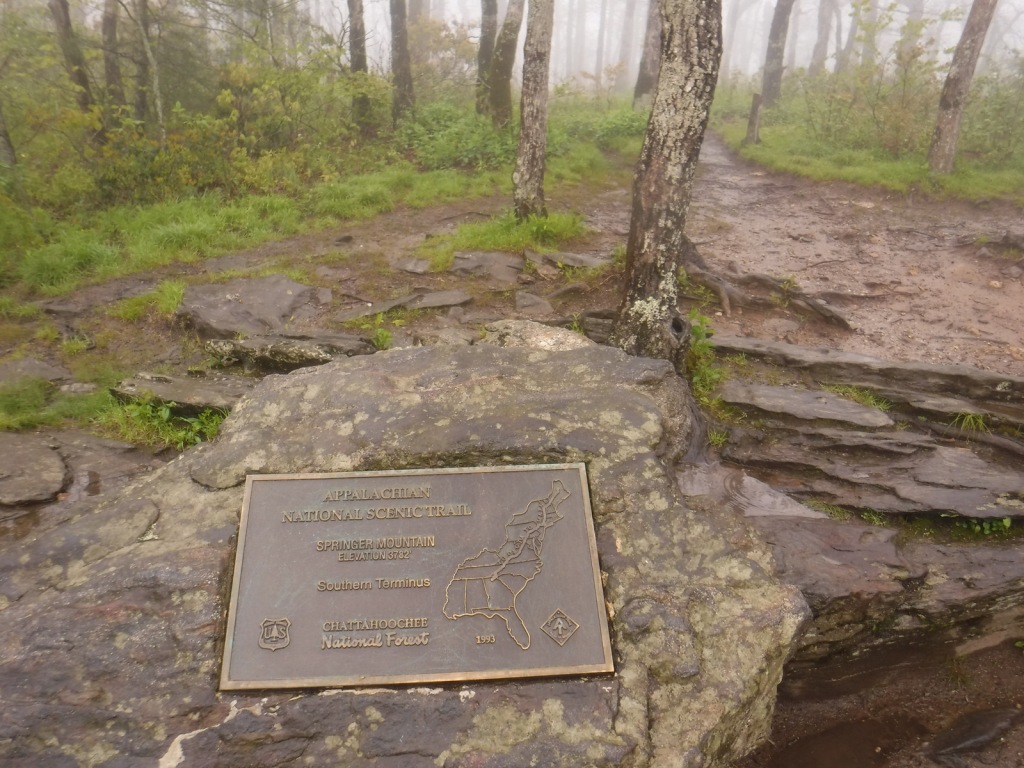
One of the National Forest’s most popular spots, 150-foot-tall Anna Ruby Falls is accessed by a short trail northeast of Helen, Georgia on State Route 356.  Large tulip-poplar and yellow buckeye trees grow in 175-acre Sosebee Cove Scenic Area, even though it is a second growth forest.  We will have a separate blog post on Ed Jenkins National Recreation Area, which surrounds Springer Mountain, the southern terminus of the 2,185-mile long Appalachian National Scenic Trail.

Best Trail

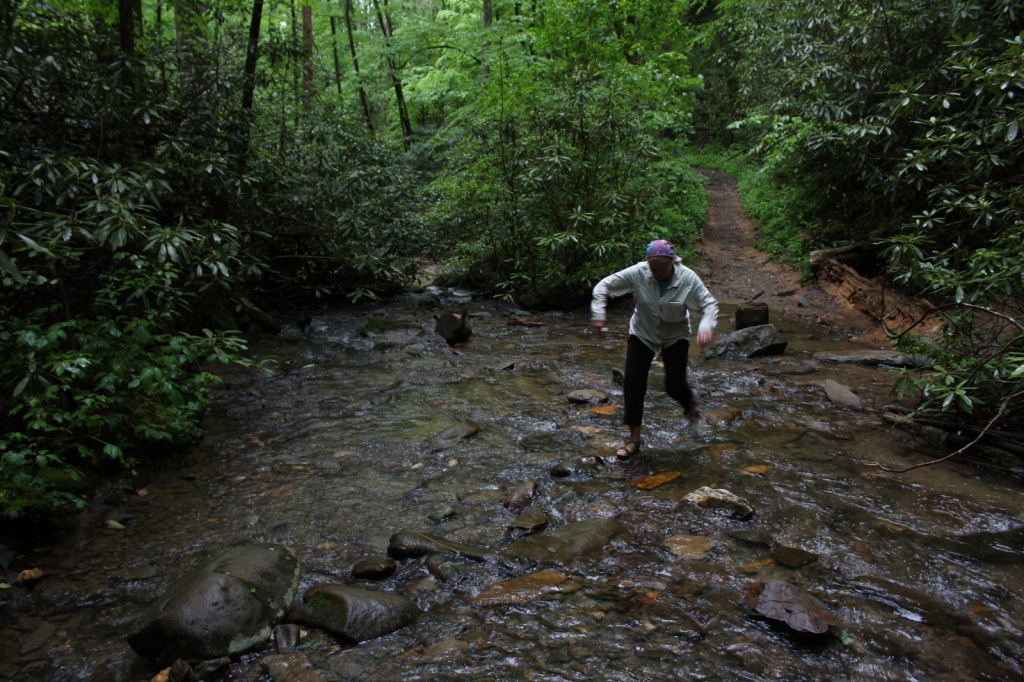
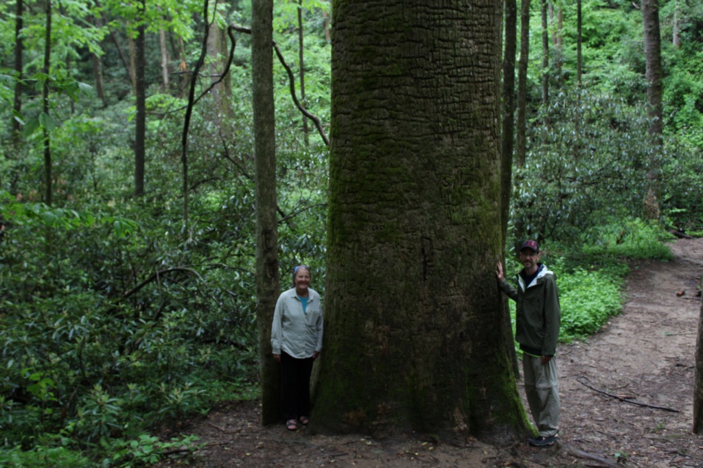
Chattahoochee National Forest started when the Forest Service purchased 31,000 acres from the Gennett family in 1911 for $7 per acre.  Visitors can still see their namesake Gennett Poplar (a tulip-poplar tree more than five feet in diameter) by hiking 1.8 miles out-and-back with two stream crossings on the Bear Creek Trail.  The rows of holes in the old tree’s trunk were made by yellow-bellied sapsuckers, a type of woodpecker.  The trail continues and connects with the Pinhoti Trail to form a 6.6 to 9-mile long loop.

Watchable Wildlife

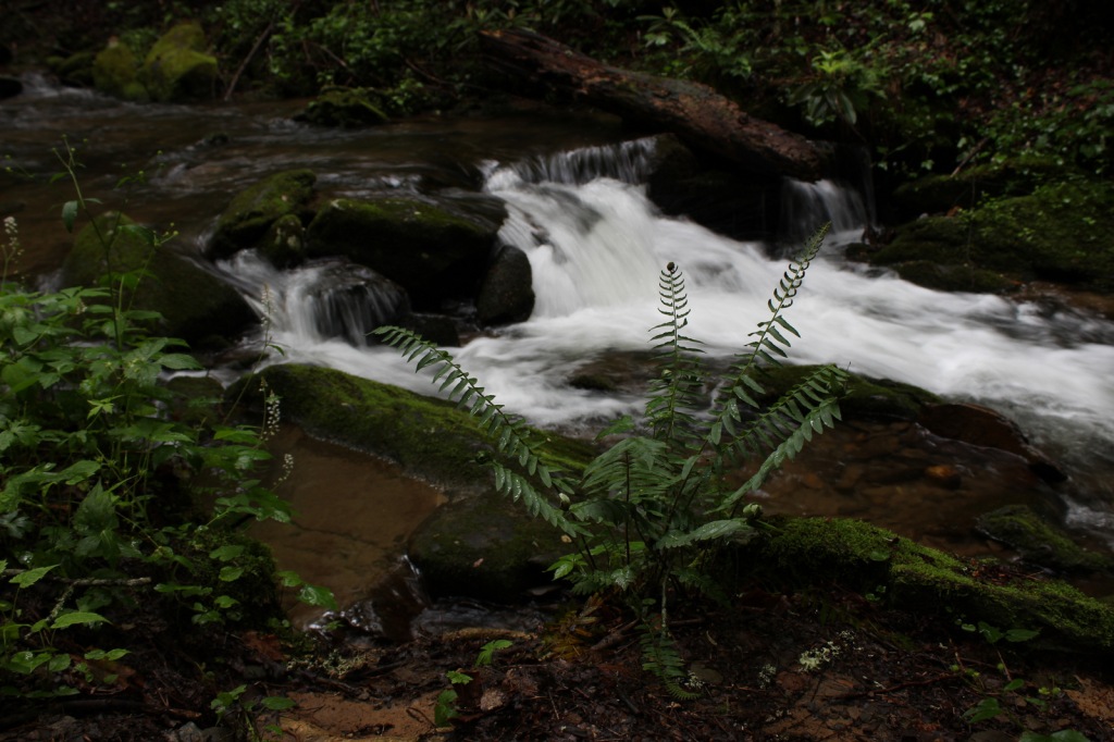
In addition to the plentiful white-tailed deer, other large mammals found in Chattahoochee National Forest include black bears, coyotes, bobcats, red foxes, squirrels, beavers, and river otters.  There are a wide variety of songbirds, waterfowl, and raptors, as well as wild turkeys.  One insect species of note is the blue ghost firefly, which produces a distinctive blue phosphorescence.  Panther Creek is among the approximately 2,000 miles of rivers and streams popular for fishing.

Instagram-worthy Photo

There is a small waterfall at Barnes Creek Picnic Area, which was built by the Civilian Conservation Corps (CCC) in the 1930s.

Peak Season

Summer

Fees

None

Road Conditions

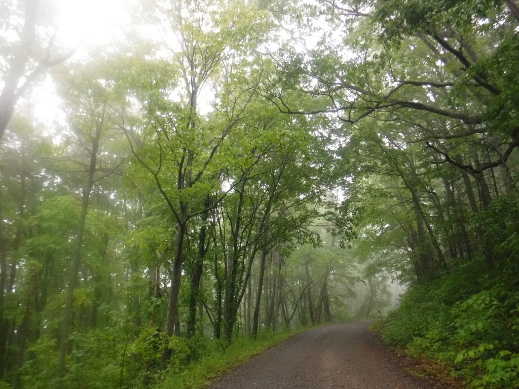
Most of the major routes in Chattahoochee National Forest are paved.  Forest Service Road 42 that accesses the Springer Mountain Trailhead is unpaved and full of potholes, but it is doable in a passenger vehicle (as are the dirt roads to Hickey Gap Campground and Bear Creek Trail). 

Camping

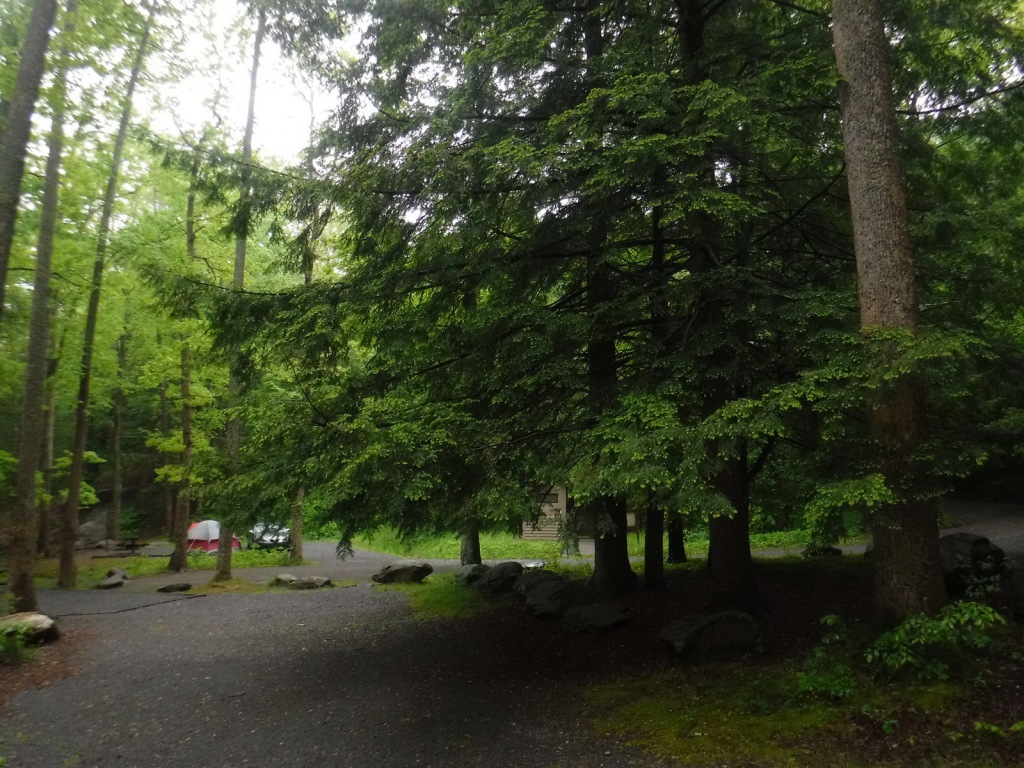
The riverside Hickey Gap Campground is so nice that it made it into our list of the Top 10 Campgrounds in National Forests; the best part is: it is free.  We once overnighted at the Locust Stake ORV Area Trailhead north of Atlanta, which was fine until someone decided to ride their motocross bike at 2 a.m.

Wilderness Areas

Big Frog Wilderness (also in Cherokee NF)

Blood Mountain Wilderness

Brasstown Wilderness

Cohutta Wilderness (also in Cherokee National Forest)

Ellicott Rock Wilderness (also in Nantahala and Sumter National Forests)

Mark Trail Wilderness

Raven Cliffs Wilderness

Rich Mountain Wilderness

Southern Nantahala Wilderness (also in Nantahala National Forest)

Tray Mountain Wilderness

Related Sites

Chattahoochee River National Recreation Area (Georgia)

Martin Luther King, Jr. National Historical Park (Georgia)

Ed Jenkins National Recreation Area (Georgia)

Nearest National Park

Great Smoky Mountains

Conifer Tree Species

eastern hemlock, loblolly pine, shortleaf pine, Table Mountain pine, pitch pine

Flowering Tree Species

flowering dogwood, mountain laurel, pawpaw, American beech, white basswood, red maple, mountain maple, moosewood maple, tulip-poplar, sweet buckeye, yellowwood, yellow birch, cucumber magnolia, black cherry, sourwood, pale hickory, mockernut hickory, rock chestnut oak, scarlet oak, black oak, Catawba rhododendron, yellow birch, sweet bay magnolia, mountain-ash, ninebark

Explore More – How many acres are within the Cohutta Wilderness, the largest designated Wilderness east of the Mississippi River?

Learn more about Chattahoochee and the 154 other National Forests in our new guidebook Out in the Woods

We are a participant in the Amazon Services LLC Associates Program, an affiliate advertising program designed to provide a means for us to earn fees by linking to Amazon.com and affiliated sites.

Carson National Forest

Carson National Forest

New Mexico

Managed by U.S. Forest Service, Southwestern Region

1,490,468 acres (1,391,674 federal/ 98,794 other)

Website: https://www.fs.usda.gov/carson

Overview

Carson National Forest is spread across the Sangre de Cristo Mountains that run 200 miles from northern New Mexico into southern Colorado’s Rio Grande and San Isabel National Forests.  In 1982, the Pennzoil Corporation donated the Valle Vidal Unit (about 100,000 acres) to the Forest Service.  A decade earlier, the Taos Pueblo successfully lobbied to return sacred Blue Lake to the tribe and remove it from Carson National Forest. 

Highlights

Enchanted Circle Scenic Byway, Wheeler Peak, Clayton Pass, Vista Grande, Brazos Ridge Overlook, Canjilon Lakes, Lobo Peak, Echo Amphitheater, Cabresto Lake, Pot Creek Cultural Site, Amole Canyon, Devisadero Loop Trail, Continental Divide National Scenic Trail, Columbine-Twining National Recreation Trail

Must-Do Activity

The National Forest contains New Mexico’s highest point (13,161-foot Wheeler Peak) near Taos Ski Valley, one of several ski resorts found here.  The gravel parking lot fills up early on summer weekends, as those looking to summit want to finish before afternoon thunderstorms.  If a 14-mile roundtrip hike with 3,771 feet of elevation gain sounds too strenuous, there are plenty of other trails around Taos Ski Valley listed below.

Best Trail

There is an extensive trail system that spiders out from Taos Ski Valley, including several that follow canyon streams and access small mountain lakes.  We recommend the Bull of the Woods Trail if you want to avoid the crowds summiting Wheeler Peak.  Other hiking options in the area include Williams Lake, Long Canyon, Lobo Peak, and Goose Lake.

Watchable Wildlife

Mule deer, elk, pronghorn, and bighorn sheep are large ungulates found in Carson National Forest.  Its carnivores include black bears, coyotes, red foxes, bobcats, and mountain lions.  The National Forest’s lakes and 400 miles of rivers and streams are mostly stocked with native trout species.

Instagram-worthy Photo

Alpine views abound on the hike up to 13,161-foot Wheeler Peak, the highest point in New Mexico.

Peak Season

Summer

Fees

None

Road Conditions

State Highway 150 is paved to Taos Ski Valley except for the very end, which is a good gravel road (as is FR 597 north of Red River).

Camping

There are many great places to camp in Carson National Forest, with notable areas being Elephant Rock Campground, Hopewell Lake Campground, and several campgrounds around the Canjilon Lakes.  We set up a dispersed camp near a high mountain pass on FR 597 above the town of Red River in the summer.

Wilderness Areas

Chama River Canyon Wilderness (also in Santa Fe National Forest)

Cruces Basin Wilderness

Latir Peak Wilderness

Pecos Wilderness (also in Santa Fe National Forest)

Wheeler Peak Wilderness

Related Sites

Pecos National Historical Park (New Mexico)

Bandelier National Monument (New Mexico)

Fort Union National Monument (New Mexico)

Nearest National Park

Great Sand Dunes

Conifer Tree Species

Engelmann spruce, limber pine, Rocky Mountain bristlecone pine, two-needle pinyon pine, ponderosa pine, Douglas-fir, white fir, subalpine fir

Flowering Tree Species

Gambel oak, quaking aspen, bigtooth maple, boxelder, New Mexico locust, Fremont cottonwood, netleaf hackberry

Explore More – Who was the U.S. President that pushed through Congress the Taos Pueblo appeal to return Blue Lake?

Learn more about Carson and the 154 other National Forests in our new guidebook Out in the Woods

We are a participant in the Amazon Services LLC Associates Program, an affiliate advertising program designed to provide a means for us to earn fees by linking to Amazon.com and affiliated sites.