Tag Archives: geology

Sequoia National Park

Sequoia National Park

California

Managed by National Park Service

Established 1890

404,064 acres

Website: nps.gov/seki

Overview

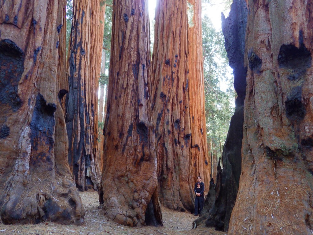
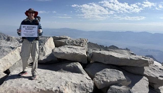
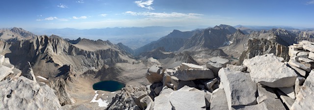
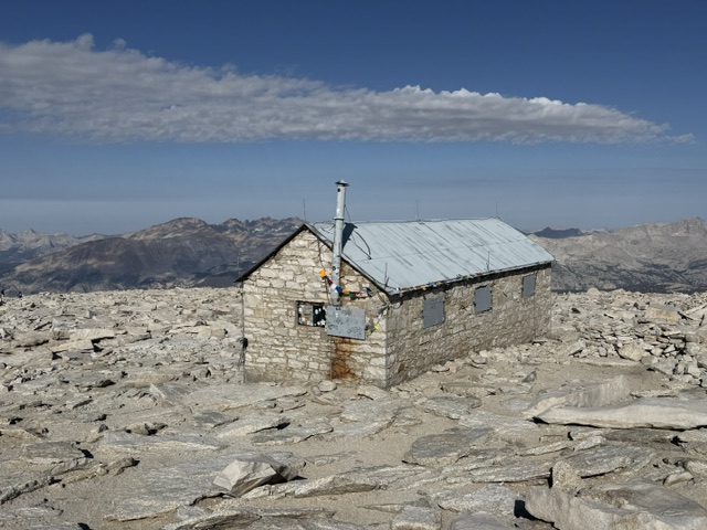
In 1890, Sequoia became the second National Park in the United States in order to protect its famous groves of giant sequoia trees, not to be mistaken for California’s coast redwoods.  The park’s hub in the Giant Forest contains the General Sherman tree, the largest by volume in the world.  Most of the park is in the High Sierra and includes Mt. Whitney, the highest point in the contiguous U.S. at 14,505 feet.  It is comanaged with Kings Canyon National Park.

Know someone who loves National Parks? Gift them our travel guide A Park to Yourself: Finding Solitude in America’s 63 National Parks. 

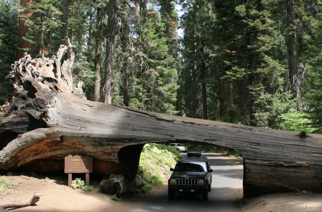
A scenic view of Sequoia and Kings Canyon National Park featuring tall sequoia trees, green foliage, and patches of snow on the ground with a sign in the foreground.

Highlights

General Sherman Tree, Moro Rock, Crystal Cave, Mt. Whitney, John Muir Trail, Pacific Crest National Scenic Trail

Must-Do Activity

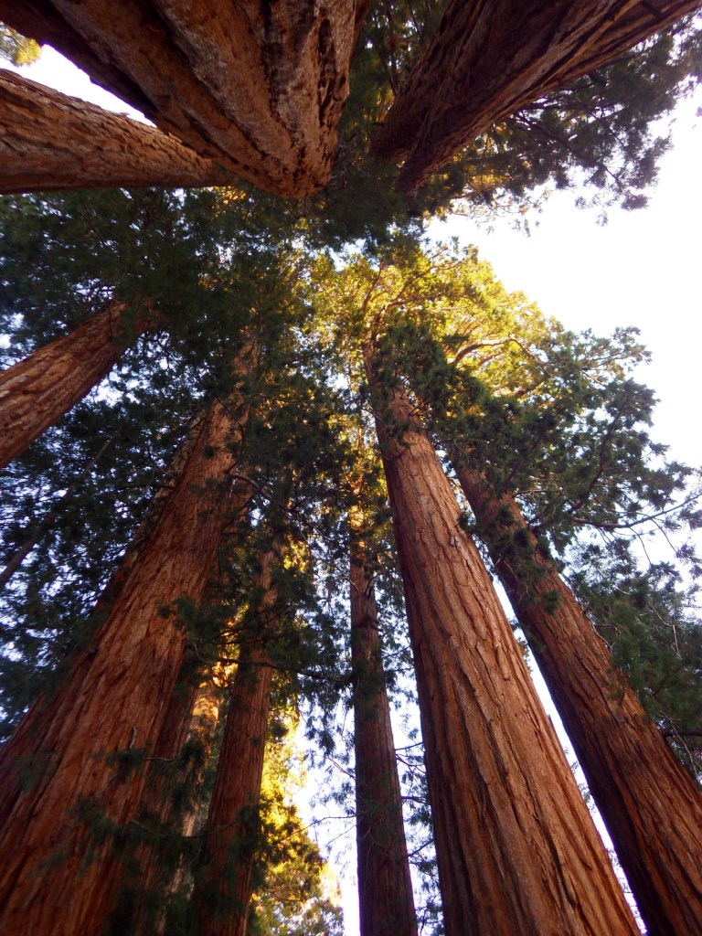
The remarkable giant sequoia tree can live over 2,000 years, reach three hundred feet in height, and grow the largest wood volume of any single-stemmed tree on the planet.  They are only found in 75 protected groves scattered throughout California’s Sierra Nevadas.  Bring your whole family to see how many people it takes arms linked to reach around the base of one of these massive trees.  With circumferences reaching over 100 feet, you are going to need a big family! 

Best Trail

Crescent Trail starts near the General Sherman tree, winds up the hill, and then connects with the Trail of the Sequoias, which passes the dense clusters of the Senate and House Groups.  It is especially nice when there is snow on the ground.

Instagram-worthy Photo

Any time of year is great to visit, but the winter is perhaps the prettiest as the snow contrasts nicely with the orange bark of the giant sequoia trees.

A towering sequoia tree surrounded by smaller evergreen trees in a snow-covered forest.

Peak Season

Summer due to the high elevation

Hours

https://www.nps.gov/seki/planyourvisit/hours.htm

Fees

$35 per vehicle or America The Beautiful pass

Road Conditions

Roads are paved, but steep, winding, and narrow.  The rough Mineral King Road is closed in winter.

Camping

There are several large campgrounds near the Giant Forest, as well as two on the rough road to the remote Mineral King section of the park.  All backcountry camping requires a permit and is on a quota system during the summer.

Related Sites

Yosemite National Park (California)

Giant Sequoia National Monument (California)

Kings Canyon National Park (California)
Logo of Sequoia National Park featuring tall trees and a bear illustration.

This design we created to celebrate Sequoia National Park is available on a variety of products at Cafe Press and Amazon.

Explore More – Why do park rangers recommend you wrap your car with chicken wire when you visit Mineral King?

Book cover of 'A Park to Yourself: Finding Solitude in America's 63 National Parks, Expanded 2nd Edition' by Scott Sink, PhD and Tiff Sink, MPH, featuring a person walking through a narrow canyon.

Know someone who loves National Parks? Gift them our travel guide A Park to Yourself: Finding Solitude in America’s 63 National Parks. 
Mesa Verde National Park

Overview

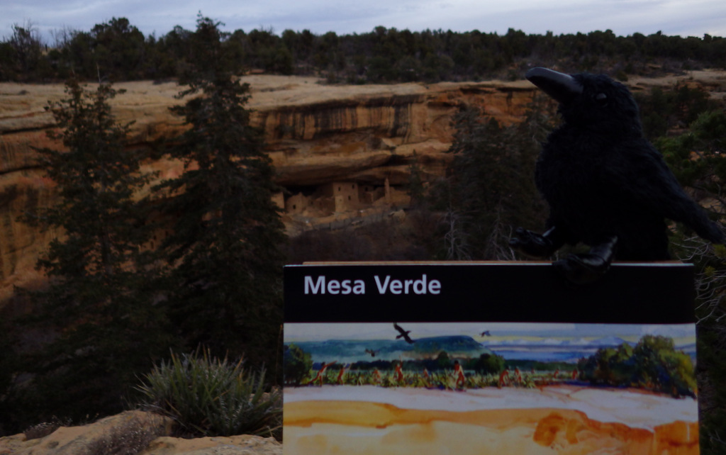
The impressive and numerous (around 600) cliff dwellings here were built by Ancestral Puebloans 600 to 800 years ago before their abandonment.  After a day or two at Mesa Verde, you will understand why since 1906 it has remained the only “National Park” dedicated to preserving an archaeological site.

Highlights

Chapin Museum, Spruce Tree House, Petroglyph Point Trail, Cliff Palace, Step House, annual open house with luminaria

Must-Do Activity

Purchase tickets for guided tours of the ruins at the shiny new visitor center off Highway 160 before driving 20 miles to Long House, Cliff Palace, or Balcony House (the best tour for families).   Leave time to explore Chapin Mesa Museum first, where a high-quality film introduces the history of the region.  When it finally reopens years after a rock fall, you can then take a quick but steep hike to Spruce Tree House, accessible without a paid tour, where you have the opportunity to climb down a ladder into the dim interior of a reconstructed kiva. 

Best Trail

After driving to the less-trafficked Weatherill Mesa, bike or walk the paved road to Nordenskold No. 16 Trailhead, numerous pit-houses, and Step House Loop Trail. 

Instagram-worthy Photo

We think Square Tower House is the most photogenic ruins in the park and can be viewed from an overlook off Mesa Top Loop Road.  In summer 2018, we made reservations for a special guided tour of only 10 people to enter these ruins.

Peak Season

Summer, but it can get hot with little shade atop the mesas.

Hours

https://www.nps.gov/meve/planyourvisit/hours.htm

Fees

$20 per vehicle or America The Beautiful pass

Road Conditions

All roads paved, but some are closed in winter when tours are not offered.

Camping

Morefield Campground has more than 400 campsites atop the mesa; 15 with full RV hookups.  No backcountry camping is allowed.


This design we created to celebrate Mesa Verde National Park is available on a variety of products at Cafe Press and Amazon.

Explore More – What month does the NPS host an evening open house with thousands of candle luminaria, free food, and live music?

Pipestone National Monument

Pipestone National Monument

Minnesota

Managed by National Park Service

Established 1937

282 acres

Website: nps.gov/pipe

Overview

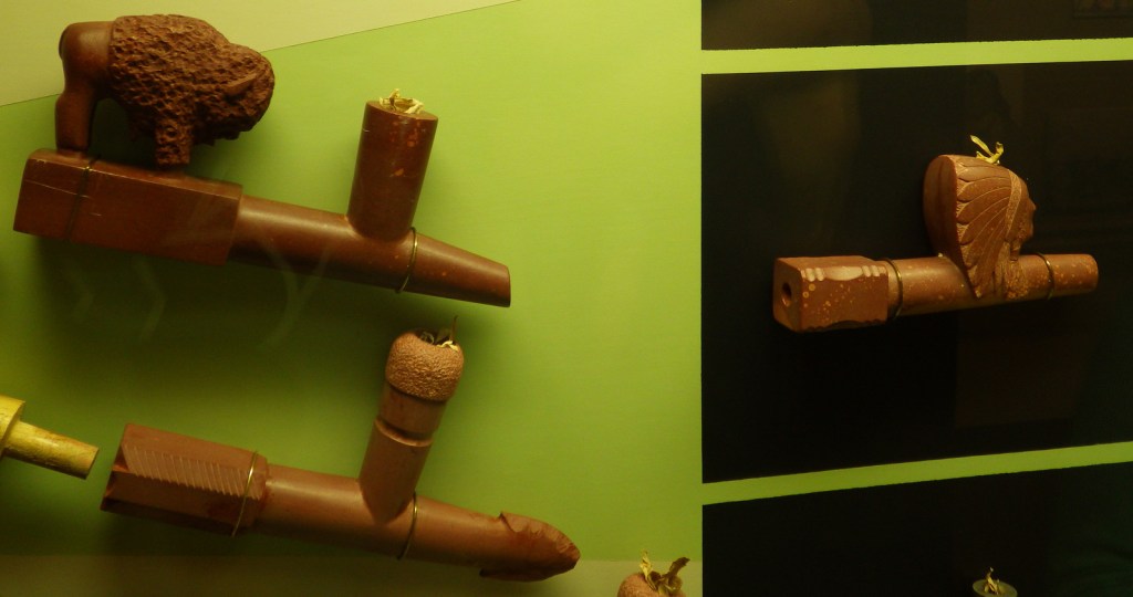
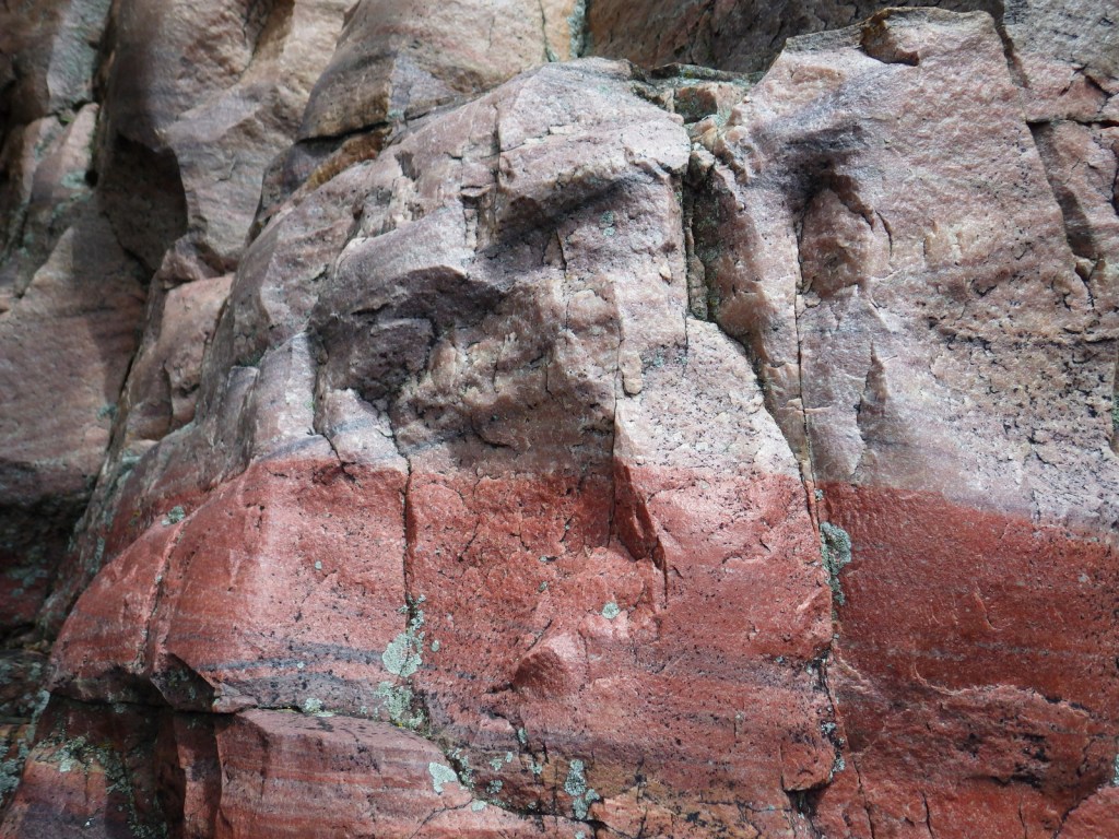
This site is famous as a place people have come for 2,000 years to mine the red quartzite rock (also known as catlinite).  The soft sedimentary stone is relatively easy to carve into smoking pipes and effigies.  Only American Indians are allowed to quarry here today with the proper permits.

Know someone who loves exploring new National Monuments? Gift them our book Monumental America: Your Guide to All 138 National Monuments that is available for sale on Amazon.com.

Highlights

Pipestone quarries, museum, carving demonstrations, Winnewissa Falls

Must-Do Activity

April through October, you can watch American Indian carvers at the National Park Service museum demonstrate how to sculpt this soft yet durable stone into hollow pipes and other beautiful ornaments.  It is illegal to remove any rocks without a permit, but you can buy carvings in the gift shop. See where this site fits into our 7-day Minnesota road trip itinerary.

Best Trail

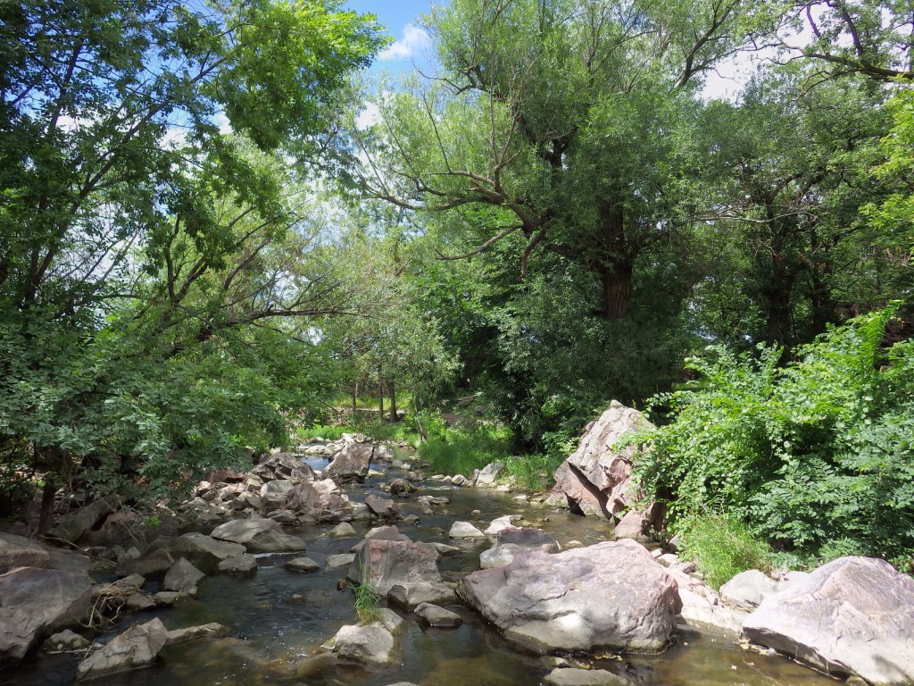
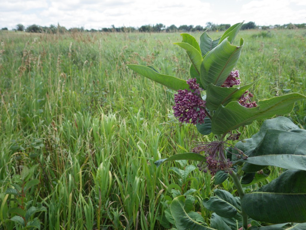
A 0.75-mile trail leads past historic rock quarries to Winnewissa Falls, just the spot to be on a hot summer afternoon.  The remnants of tallgrass prairie protected within the park boundaries give an idea of what this entire region might have looked like before it was converted to farms.

Instagram-worthy Photo

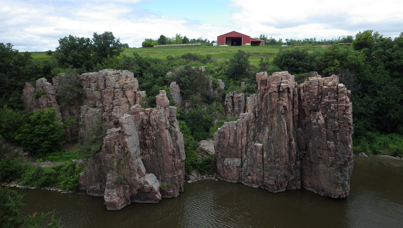
28 miles southwest across the border in South Dakota’s Palisades State Park where the same red quartzite rock dramatically rises above muddy Split Rock Creek and is a great place to picnic or watch rock climbers.

Peak Season

Summer, but it is open year round.

Hours

https://www.nps.gov/pipe/planyourvisit/hours.htm

Fees

None

Road Conditions

All roads paved

Camping

There is a private campground near the monument entrance and Split Rock Creek State Park is 8 miles south.

Related Sites

Grand Portage National Monument (Minnesota)

Chippewa National Forest (Minnesota)

Mississippi National River and Recreation Area (Minnesota)

Nearest National Park

Voyageurs

Explore More – Who is the famous artist that catlinite is named after?

Learn more about the other 137 National Monuments in our book Monumental America: Your Guide to All 138 National Monuments

Grand Canyon National Park

Grand Canyon National Park

Arizona

Managed by National Park Service

Established 1908 National Monument, 1919 National Park

1,217,262 acres

Website: nps.gov/grca

Overview

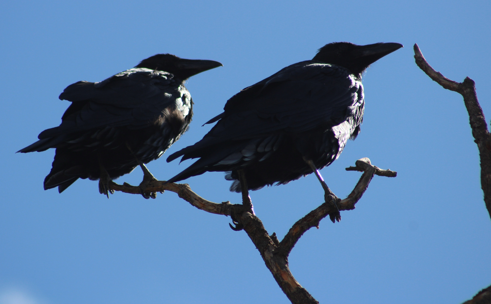
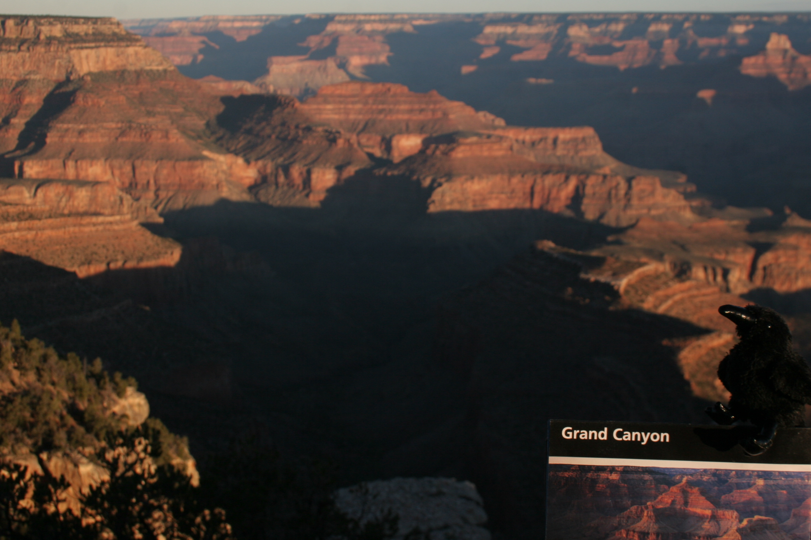
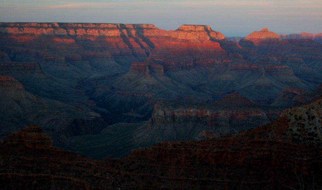
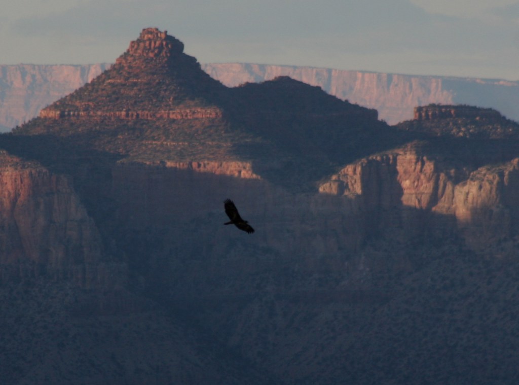
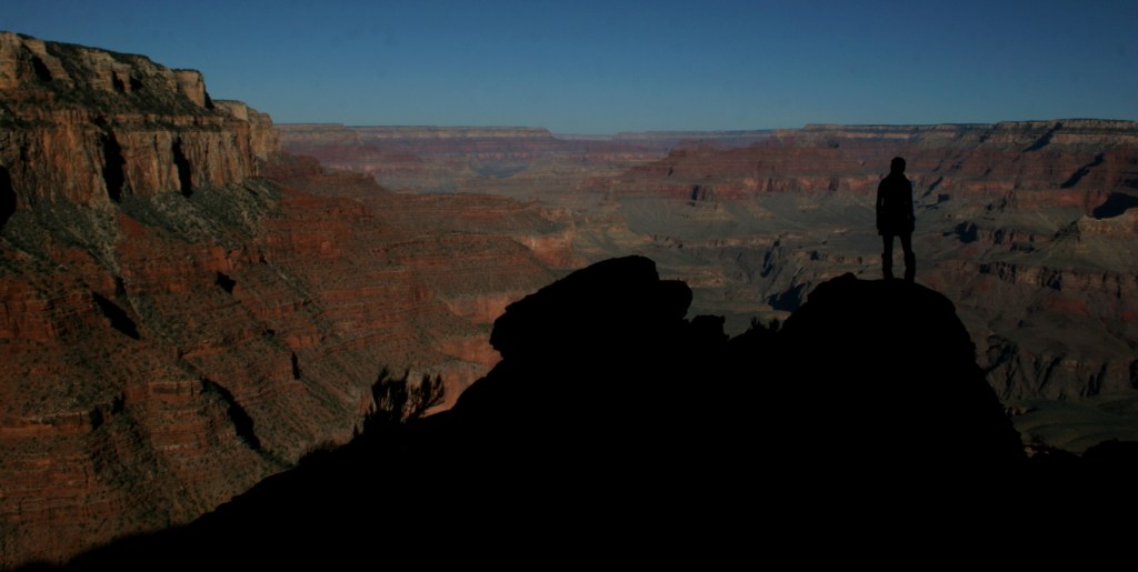
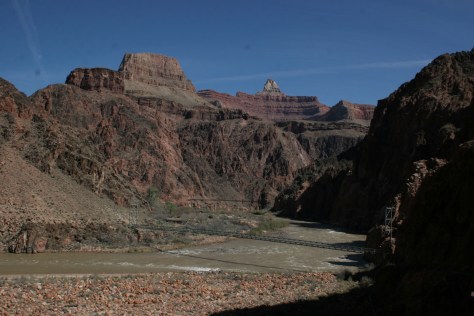
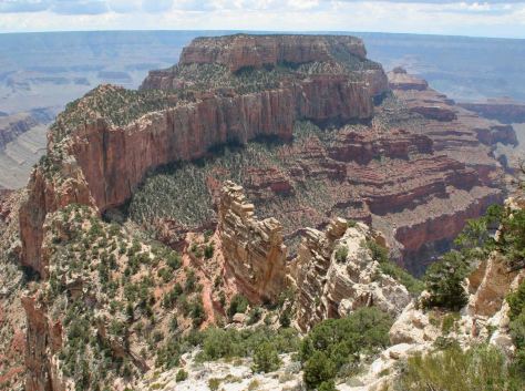
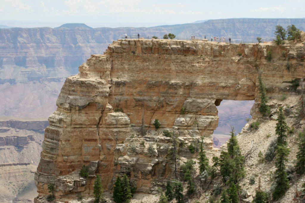
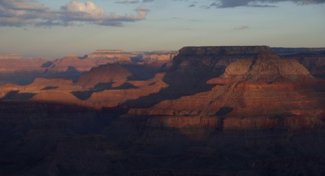
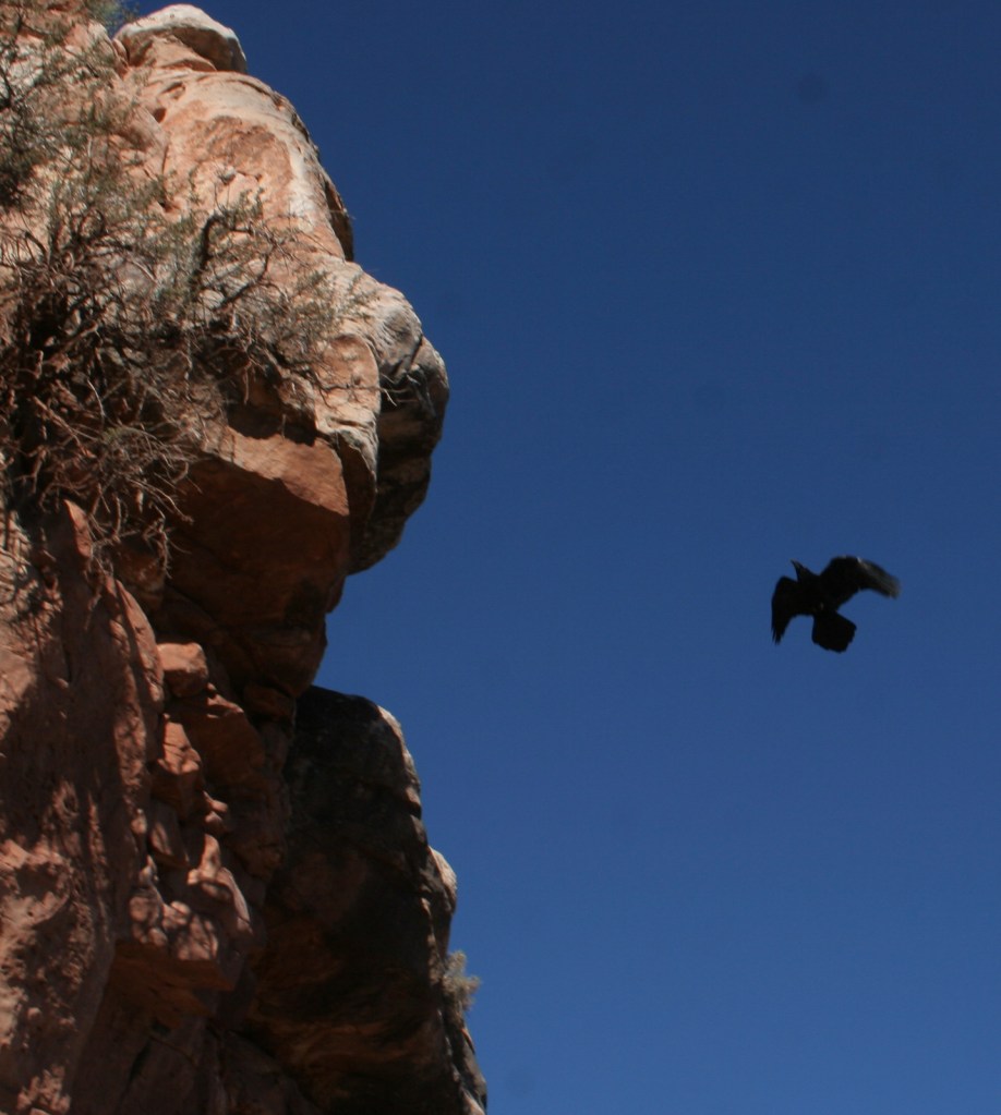
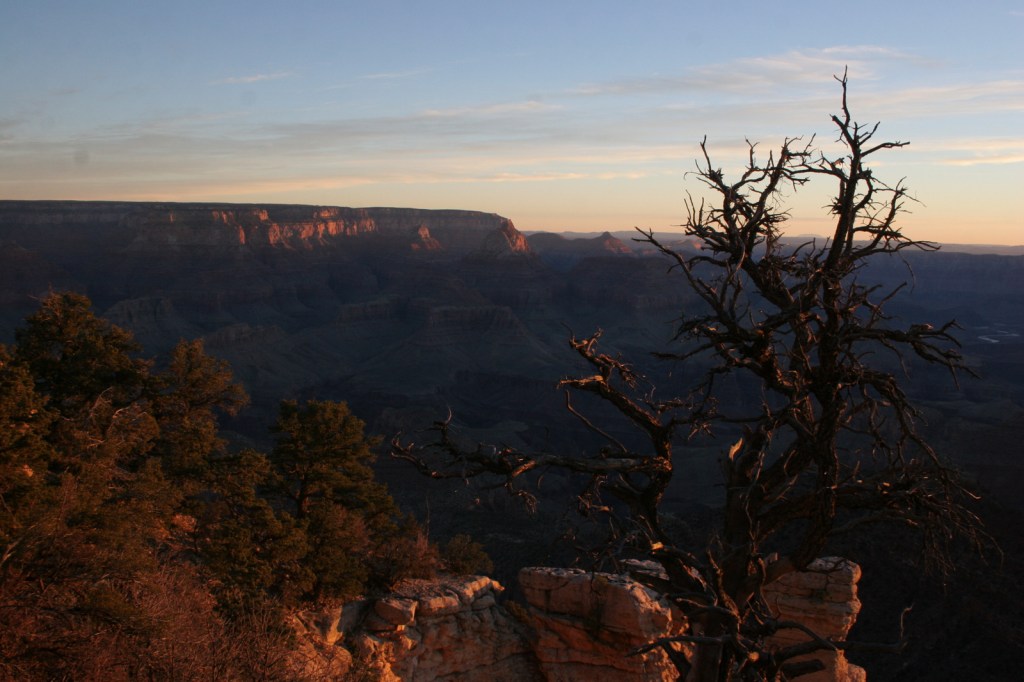
Grand Canyon National Park is generally considered one of the seven natural wonders of the world.   Billions of years of geologic history have been laid bare by the cutting power of the Colorado River.  It is cliché but true, you simply have to see this icon with your own eyes.  It can be overwhelming.  So can the crowds on the South Rim, but those tend to thin out if you hike a mile or two down a trail.  If you have the time during the summer months, be sure to drive five hours over the forested Kaibab Plateau to reach the North Rim (which is only 10 miles away as the raven flies). 

Know someone who loves National Parks? Gift them our travel guide A Park to Yourself: Finding Solitude in America’s 63 National Parks. 

Highlights

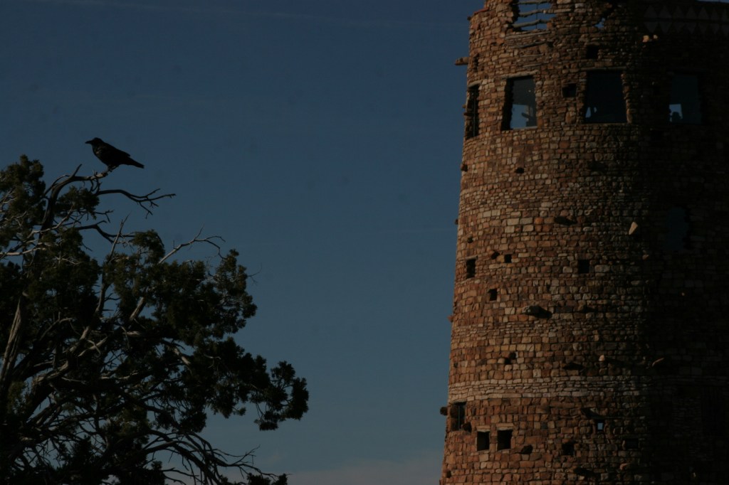
Desert View Watchtower, Hopi House, El Tovar Hotel, Phantom Ranch, Toroweap Overlook, whitewater rafting the Colorado River

Must-Do Activity

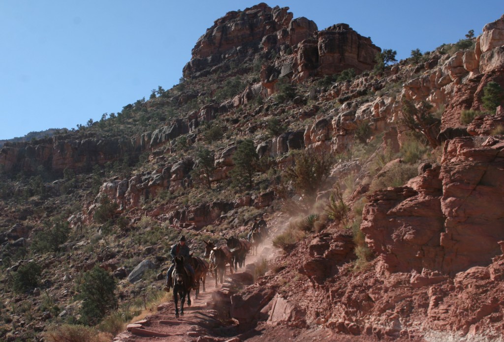
Growing up in Arizona, Scott used to visit this park frequently, but he feels he never got to know it until he hiked to the bottom in 2016.  Even if you only go a couple thousand feet down in elevation on the Grandview Trail or busy Bright Angel Trail, it will give you a new perspective on the canyon.

Best Trail

We day hiked the 18 miles from South Kaibab Trailhead (7200 feet elevation) down to Phantom Ranch (2500 feet) where we filled up with water on the way back up to Bright Angel Trailhead (6800 feet, with multiple water stations on the trail).  Backcountry permits can turn this into a multiple day trek, but then you have to carry all your gear out.

Photographic Opportunity

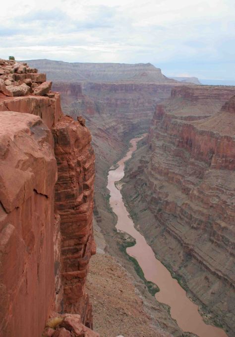
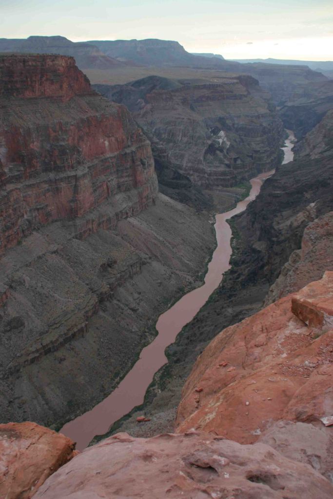
It is an arduous 90-mile one-way drive down a mostly dirt road to access Toroweap Overlook (free online permit required before arrival), but there is a reason photos from this fantastic overlook show up everywhere since the canyon walls are nearly vertical here.

Peak Season

Summer when it is very hot inside the canyon, though it can also be busy around the spring, fall, and December holidays.

Hours

https://www.nps.gov/grca/planyourvisit/hours.htm

Fees

$35 per vehicle or America The Beautiful pass

Road Conditions

Most roads are paved, and except for the very end of the 90-mile long graded dirt road to Toroweap Overlook is accessible to all passenger vehicles (free permit required).

Camping

The park has campgrounds on both rims, but you can also find dispersed camping in the neighboring Kaibab National Forest.

Related Sites

Baaj Nwaavjo I’tah Kukveni–Ancestral Footprints of the Grand Canyon National Monument (Arizona)

Coconino National Forest (Arizona)

Wupatki National Monument (Arizona)

This design we created to celebrate Grand Canyon National Park is available on a variety of products at Cafe Press and Amazon.

Explore More – Was Marguerite Henry’s book character Brighty based on a real burro?

Know someone who loves National Parks? Gift them our travel guide A Park to Yourself: Finding Solitude in America’s 63 National Parks. 

Yellowstone National Park

Wyoming, Montana, Idaho

Managed by National Park Service

Established 1872

2,221,766 acres

Website: nps.gov/yell

Overview

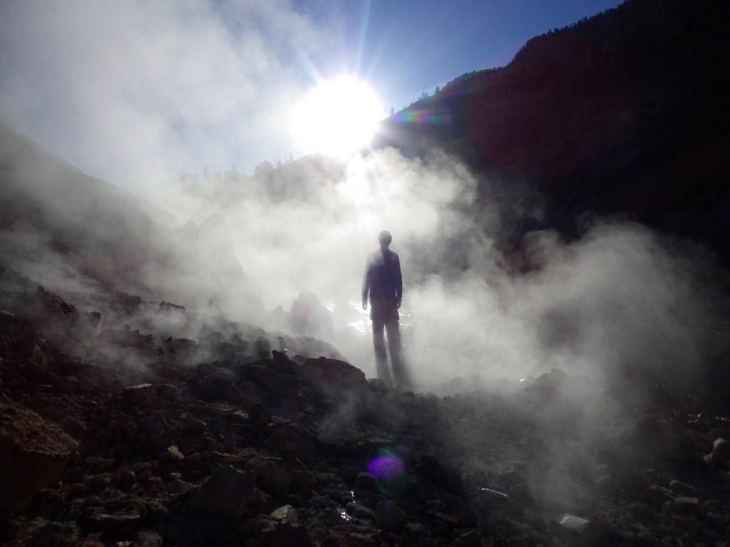
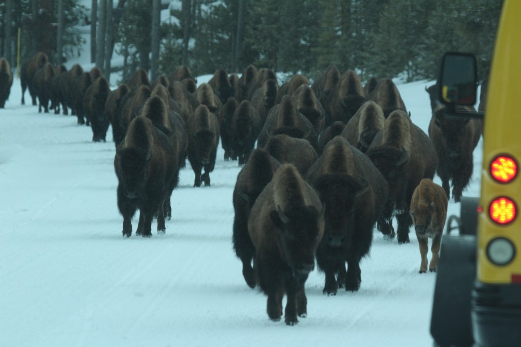
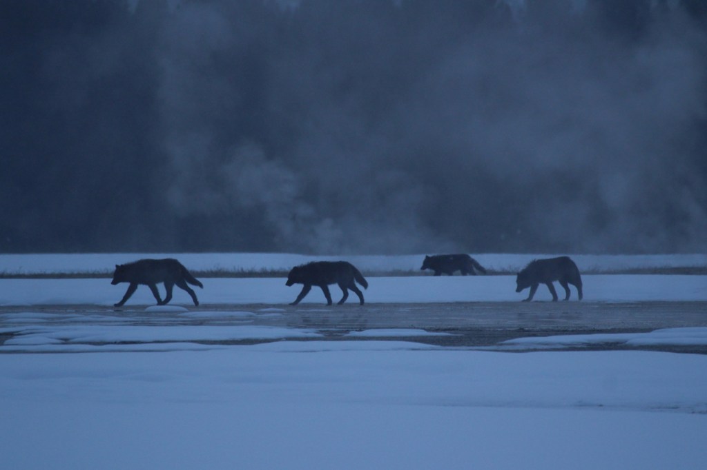
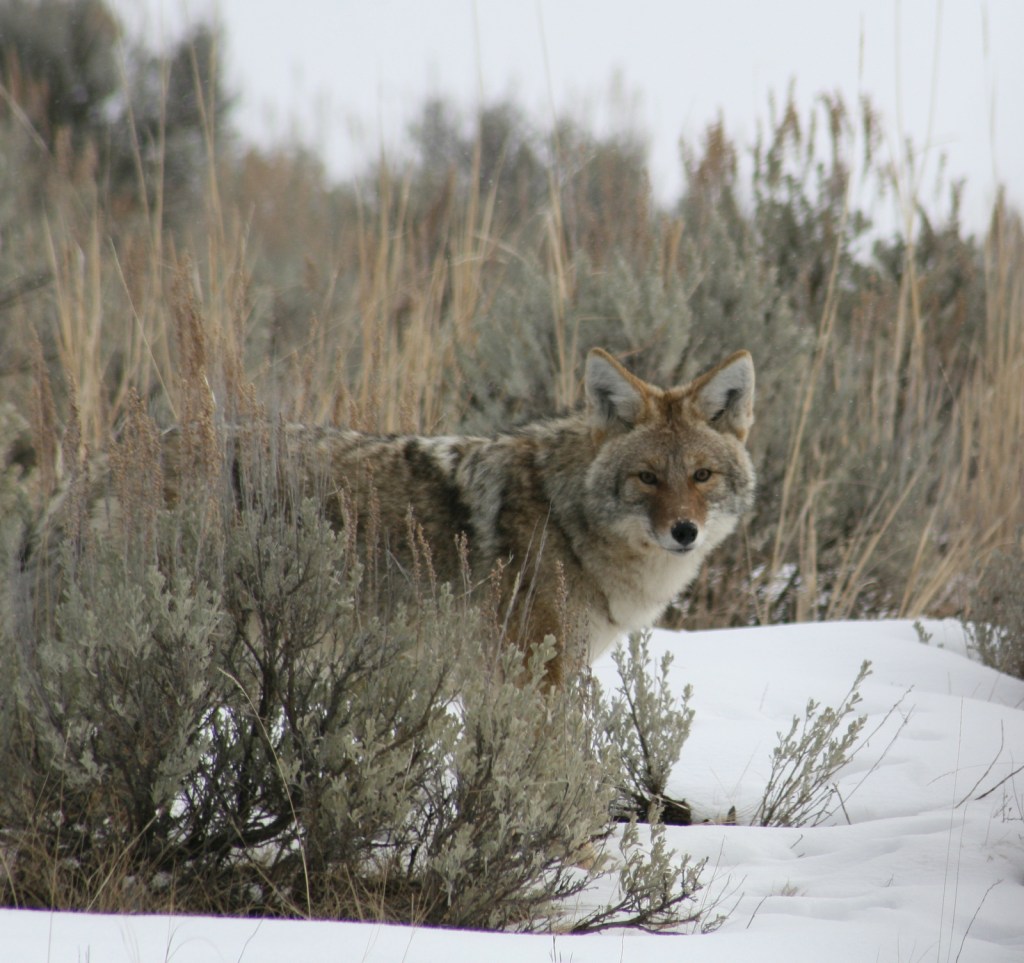
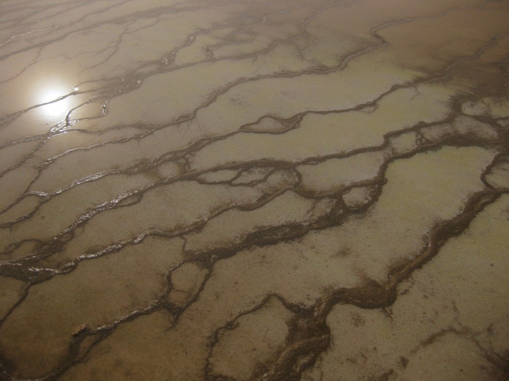
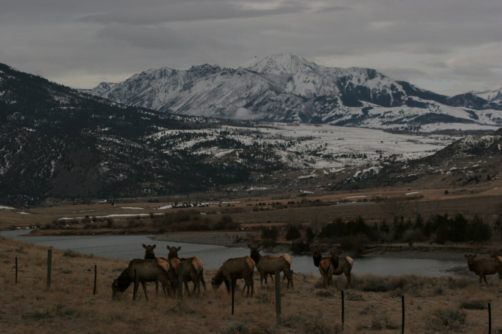
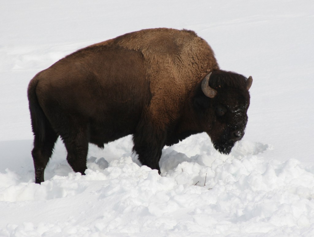
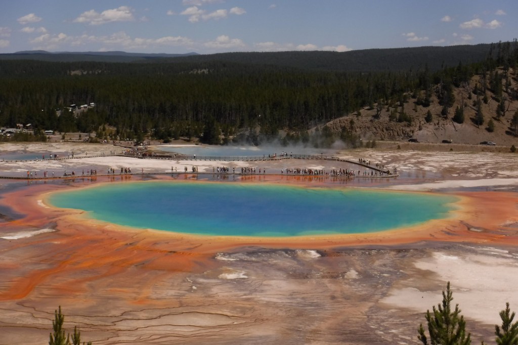
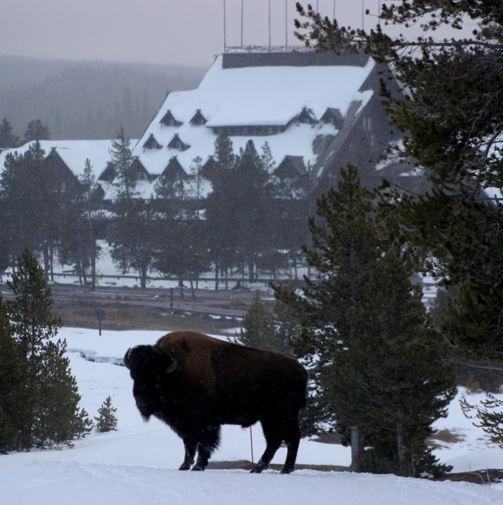
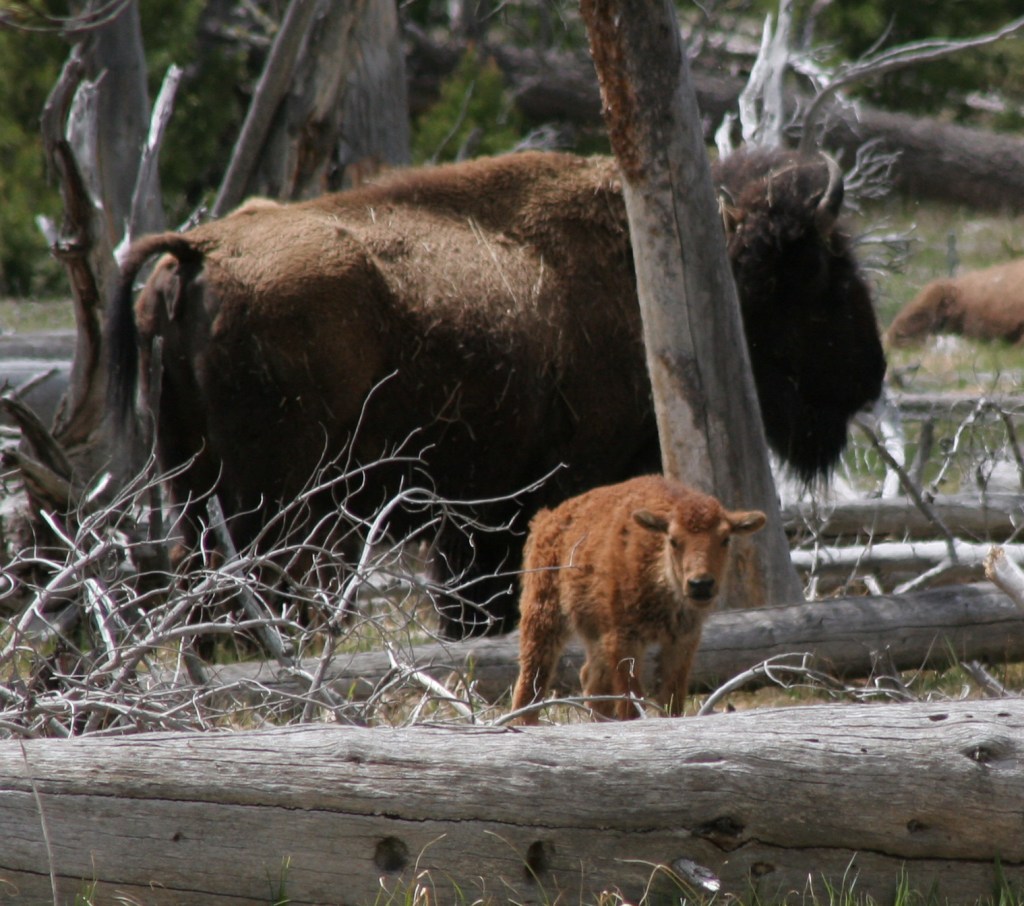
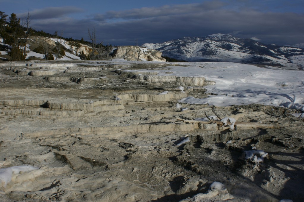
The geothermal features here inspired the creation of the world’s first official “National Park” in 1872.   Most of Yellowstone is actually a supervolcano where the magma heats up underground water producing 10,000 hot springs, fumaroles, and mudpots on the surface, as well as 300 geysers.  Incredibly, over 50% of the geysers in the world occur within this one park, which is equally famous for its wildlife diversity, including grizzly bears, bison, gray wolves, and elk.

Learn more about how to visit this National Park in the expanded second edition of our guidebook A Park to Yourself: Finding Solitude in America’s 63 National Parks. 

Yellowstone3

Highlights

Old Faithful geyser, Grand Prismatic Spring, Norris Geyser Basin, Mammoth Hot Springs, Grand Canyon of the Yellowstone, countless waterfalls, wildlife in Lamar Valley, Mt. Washburn, Continental Divide National Scenic Trail
Must-Do Activity

The most famous geyser here is Old Faithful, which can shoot water up to 185 feet in the air.  Since the occurrence of several earthquakes it is no longer as consistent as its name suggests, but its eruptions can be accurately predicted every 60 to 110 minutes throughout the day.  Arrive early to get a seat or take the trail up the nearby hill to watch it from above.  Afterwards, hike the boardwalks through colorful Upper Geyser Basin.

Best Trail

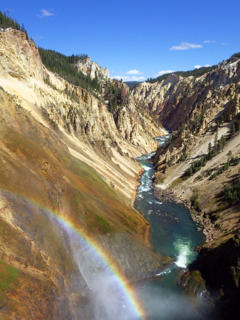
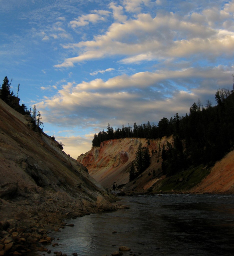
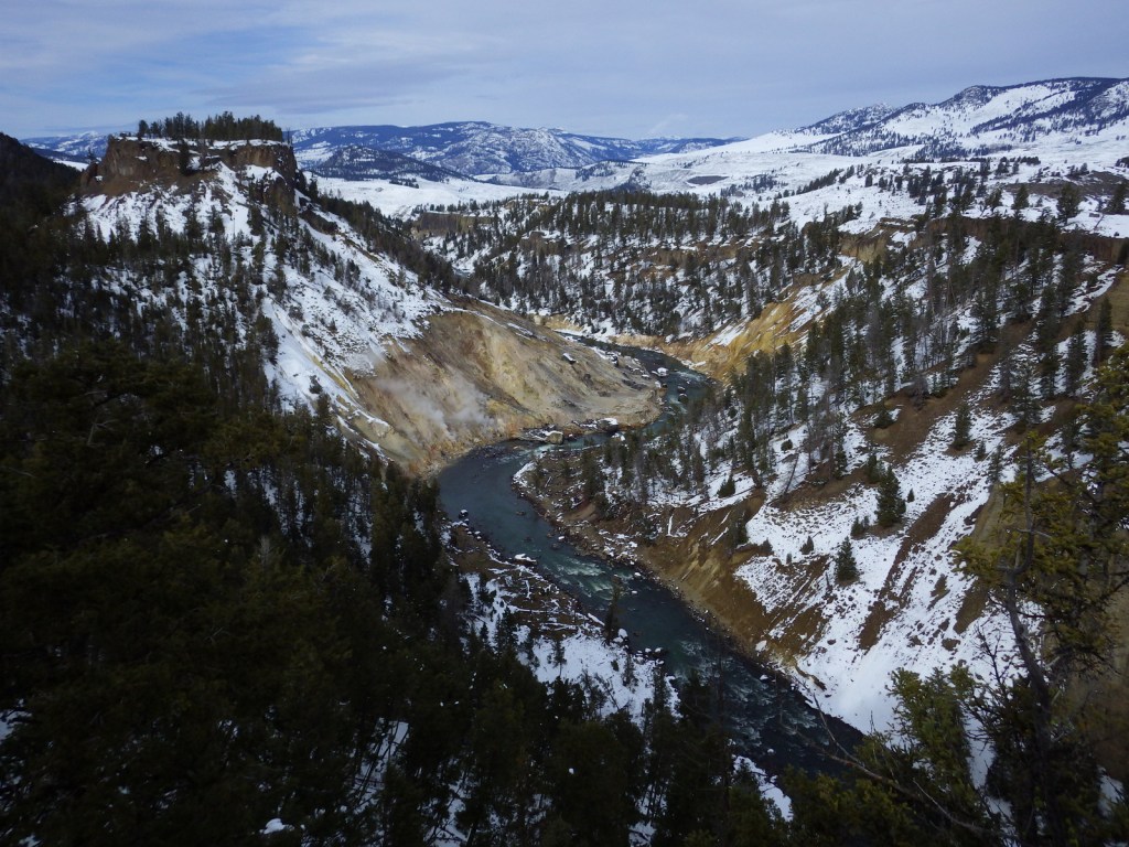
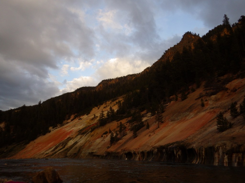
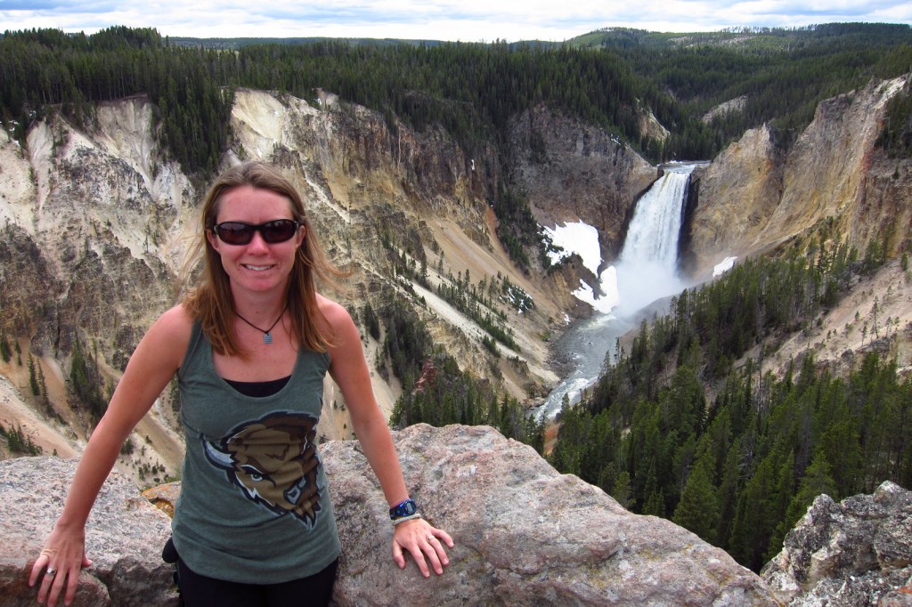
A hike into the Grand Canyon of the Yellowstone on Glacial Boulder Trail is one way to find the solitude lacking at the drive-up overlooks (you should still hike to the Brink of Lower Falls with the crowds).  Instead of staying in the packed campgrounds, consider getting a permit to backpack camp in the canyon.

Instagram-worthy Photo

The trail is steep, but paved down to the Brink of Lower Falls on the Yellowstone River for unforgettable view of the canyon, especially on sunny days when a rainbow appears in the spray.

2015YellowstoneNP4

Peak Season

Summer, but Old Faithful Village can seem busy in the winter with all the snowmobiles during the day.

Hours

https://www.nps.gov/yell/planyourvisit/hours.htm

Fees

$35 per vehicle or America the Beautiful pass

Road Conditions

Very few roads are not paved, but the majority close for seven months in the winter.

Camping

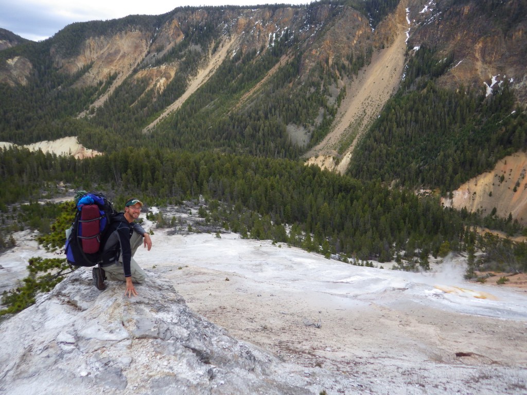
There are many campgrounds in the park, but they fill up quickly the summer (especially at primitive Slough Creek).  The surrounding National Forests offer campgrounds and dispersed sites as well.  We have enjoyed backpacking at designated campsites in the park with a permit, especially in the Grand Canyon of the Yellowstone.

Related Sites

Grand Teton National Park (Wyoming)

Gallatin National Forest (Montana)

Fossil Butte National Monument (Wyoming)

LR YELL
This design we created to celebrate Yellowstone National Park is available on a variety of products at Cafe Press and Amazon.

Explore More – How many of the park’s 4-million annual visitors arrive in June, July, and August?

Know someone who loves National Parks? Gift them our travel guidebook A Park to Yourself: Finding Solitude in America’s 63 National Parks.