Overview
The impressive and numerous (around 600) cliff dwellings here were built by Ancestral Puebloans 600 to 800 years ago before their abandonment. After a day or two at Mesa Verde, you will understand why since 1906 it has remained the only “National Park” dedicated to preserving an archaeological site.
Highlights
Chapin Museum, Spruce Tree House, Petroglyph Point Trail, Cliff Palace, Step House, annual open house with luminaria
Must-Do Activity
Purchase tickets for guided tours of the ruins at the shiny new visitor center off Highway 160 before driving 20 miles to Long House, Cliff Palace, or Balcony House (the best tour for families). Leave time to explore Chapin Mesa Museum first, where a high-quality film introduces the history of the region. When it finally reopens years after a rock fall, you can then take a quick but steep hike to Spruce Tree House, accessible without a paid tour, where you have the opportunity to climb down a ladder into the dim interior of a reconstructed kiva.
Best Trail
After driving to the less-trafficked Weatherill Mesa, bike or walk the paved road to Nordenskold No. 16 Trailhead, numerous pit-houses, and Step House Loop Trail.
Instagram-worthy Photo
We think Square Tower House is the most photogenic ruins in the park and can be viewed from an overlook off Mesa Top Loop Road. In summer 2018, we made reservations for a special guided tour of only 10 people to enter these ruins.

Peak Season
Summer, but it can get hot with little shade atop the mesas.
Hours
https://www.nps.gov/meve/planyourvisit/hours.htm
Fees
$20 per vehicle or America The Beautiful pass
Road Conditions
All roads paved, but some are closed in winter when tours are not offered.
Camping
Morefield Campground has more than 400 campsites atop the mesa; 15 with full RV hookups. No backcountry camping is allowed.

Turkey near Chapin Museum 
Tower inside Cliff Palace 
Petroglyph Point Trail
Balcony House 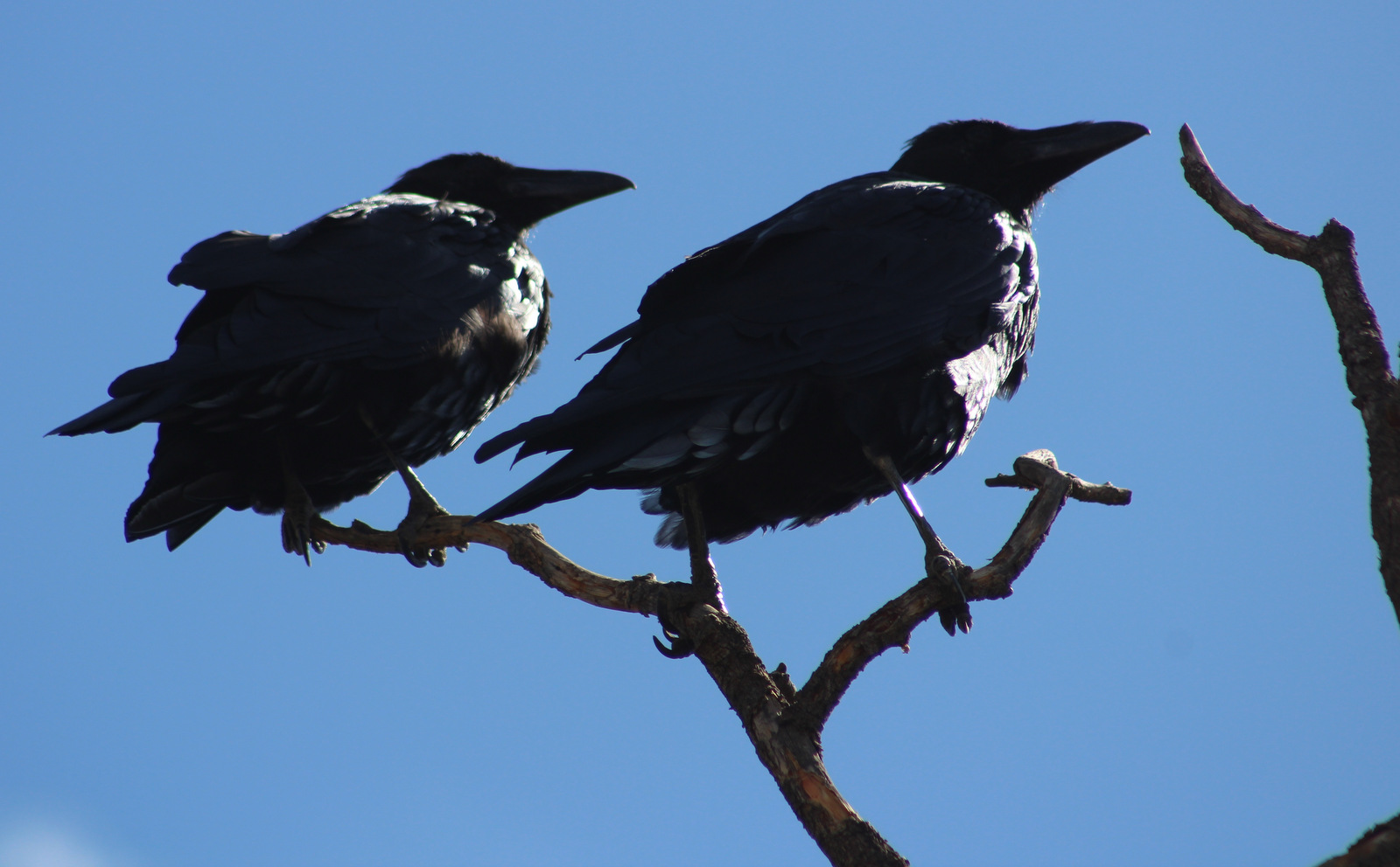
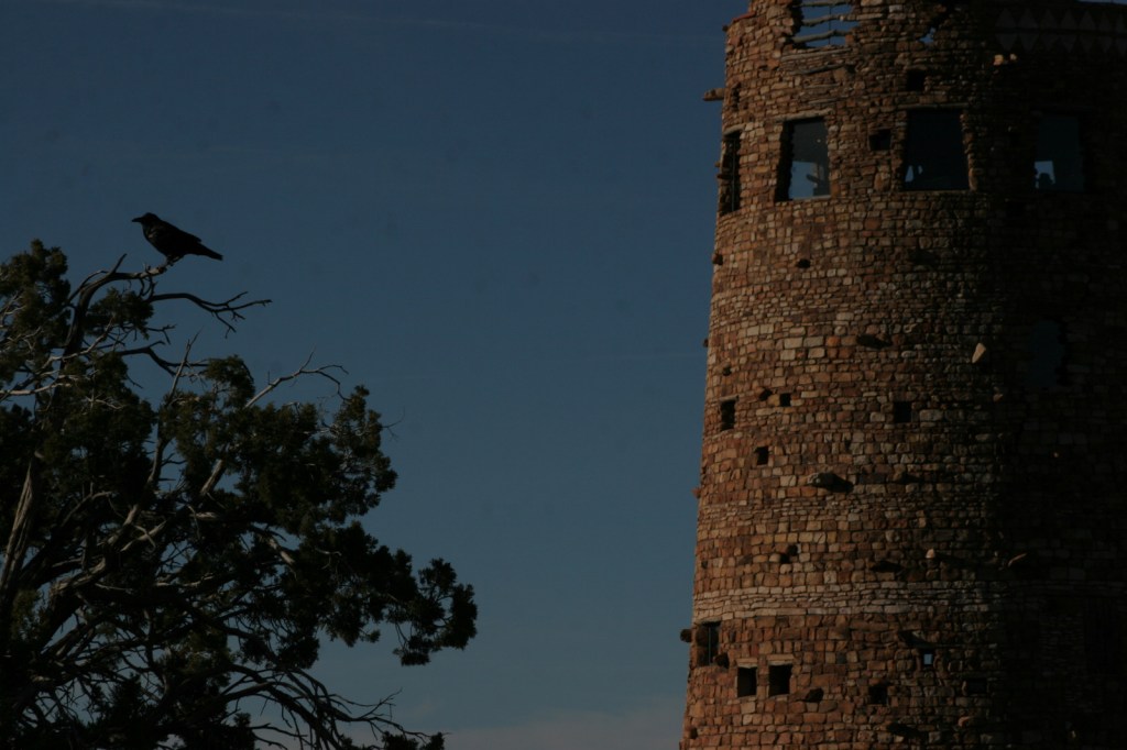
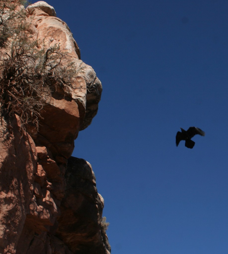
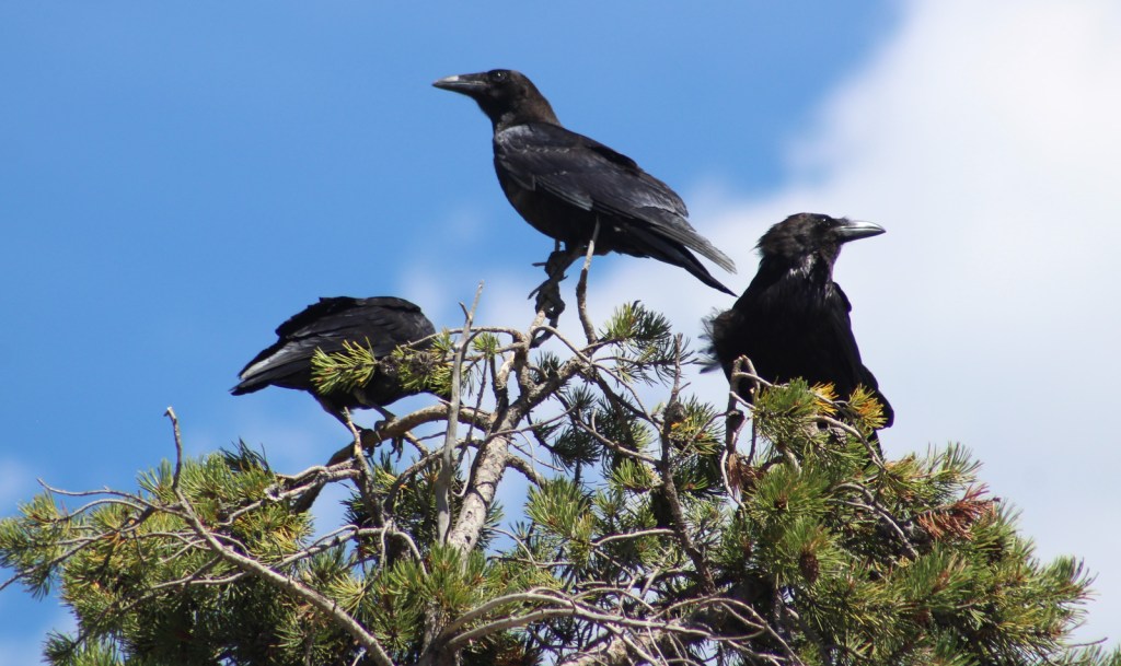
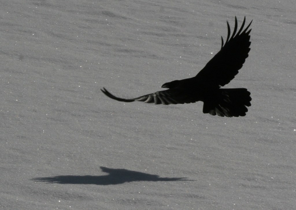
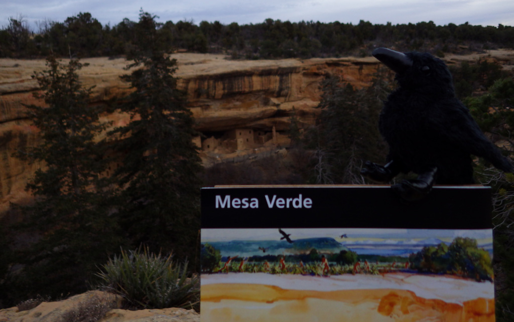
Ravens about the park 
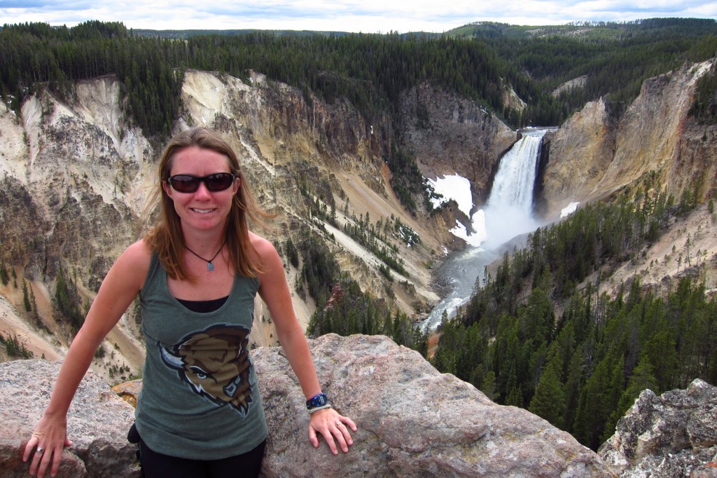
Scott at Square Tower House 
Long House 
Spruce Tree House on luminaria night 
Cliff Palace
This design we created to celebrate Mesa Verde National Park is available on a variety of products at Cafe Press and Amazon.

Explore More – What month does the NPS host an evening open house with thousands of candle luminaria, free food, and live music?