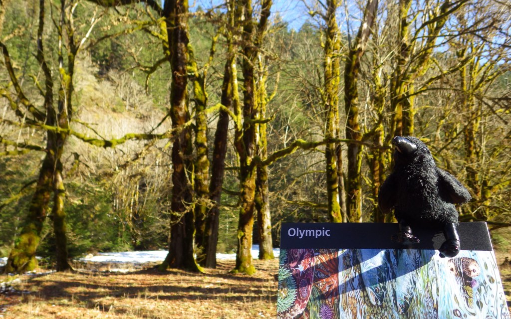
Overview
Rising from the Pacific Ocean to 7,980-foot tall Mount Olympus, western Washington’s Olympic National Park is arguably the most diverse National Park in the entire country. Originally named as a National Monument in 1909 by President Theodore Roosevelt to protect his namesake Roosevelt elk, the area was almost named Elk National Park when upgraded in 1938.
Learn more in our guidebook to the National Parks, A Park to Yourself: Finding Adventure in America’s National Parks (available on Amazon).
Highlights
Ruby Beach, Lake Quinault, Hoh Rainforest, Sol Duc Falls, Hurricane Ridge
Must-Do Activity
Visitors can explore tidepools at Ruby Beach (pictured in our logo below), soak at a hot springs resort after hiking around Sol Duc Falls, experience sweeping mountain vistas from Hurricane Ridge, and boat across picturesque Lake Crescent.
Best Trail
There are more than 600 miles of trails, but one of the quietest is on the north shore of Lake Quinault and leads to a huge, hollow western redcedar tree.
Instagram-worthy Photo
Discover the moss-draped Hoh Rainforest, which at 160 inches annually experiences the highest rainfall totals in the continental U.S.

Peak Season
Summer
Hours
https://www.nps.gov/olym/planyourvisit/hours.htm
Fees
$30 per vehicle or America the Beautiful pass
Road Conditions
All major roads are paved, but notably the road up to Hurricane Ridge is not open every day of the week in the offseason.
Camping
There are numerous campgrounds and four lodges, plus the historic Lake Quinault Lodge built in 1926 (and technically outside of the park).
Related Sites
Lewis and Clark National Historical Park (Oregon-Washington)
Ebey’s Landing National Historic Reserve (Washington)
Mount Rainier National Park (Washington)

View from Hurricane Ridge 
Scott at Elwha Falls 
Scott hugging a western redcedar 
Hurricane Ridge from the Strait of Juan de Fuca 
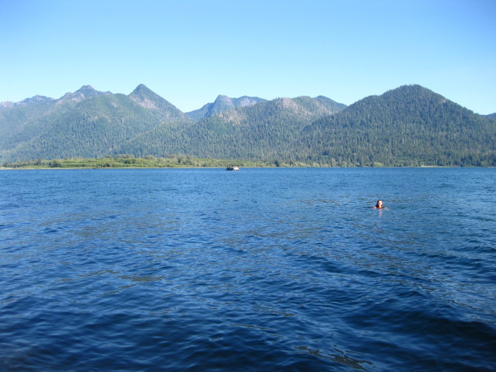
Tiff swimming in Lake Quinault 
Foggy morning in the rainforest 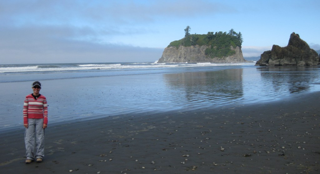
Tiff on Ruby Beach (depicted in drawing below) 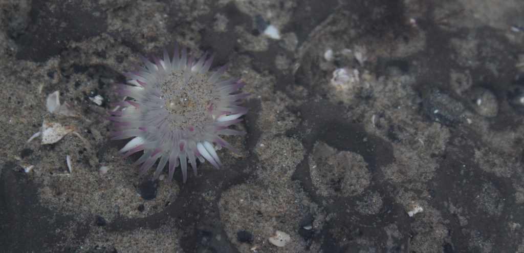
Sea anemone 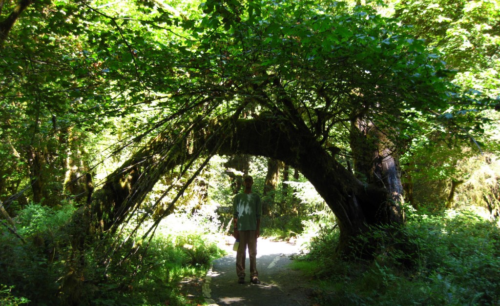
Scott in Hoh Rainforest 
Tiff at Sol Duc Hot Springs 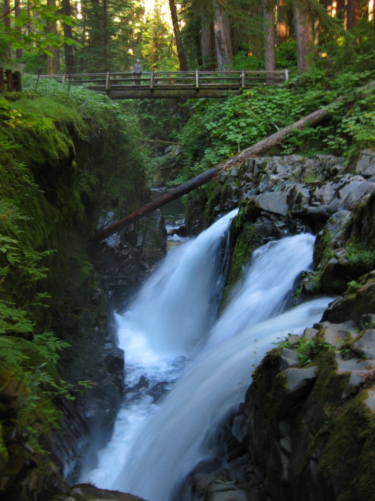
Scott on bridge above Sol Duc Falls


Explore More – Although they are shrinking, how many glaciers are found in the Olympic Mountains?


We are a participant in the Amazon Services LLC Associates Program, an affiliate advertising program designed to provide a means for us to earn fees by linking to Amazon.com and affiliated sites.