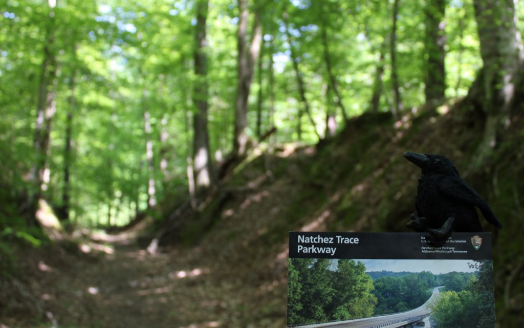
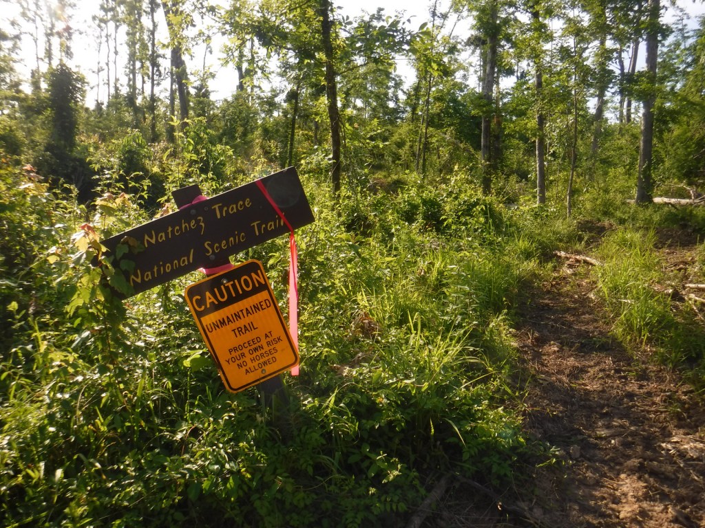
Natchez Trace National Scenic Trail
Mississippi-Alabama-Tennessee
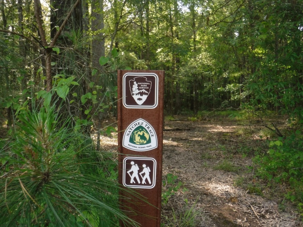
Managed by National Park Service
Established 1983
67 miles
Website: nps.gov/natt
Overview
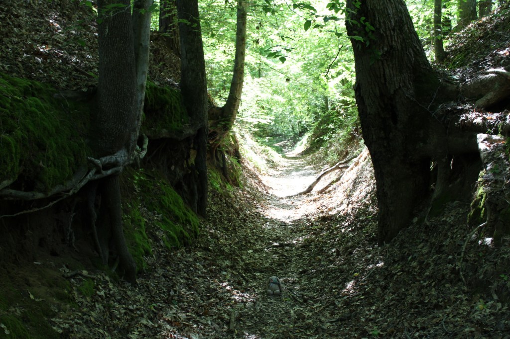
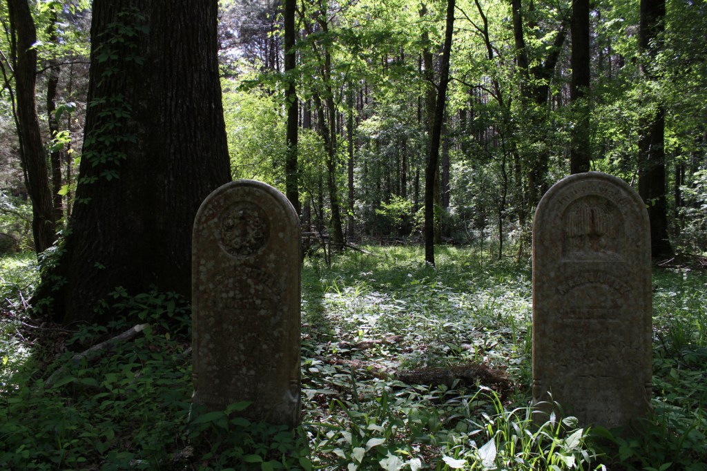
Not as well-known as the Natchez Trace Parkway it parallels, Natchez Trace National Scenic Trail is one of only six National Scenic Trails officially managed by the National Park Service (NPS). The trace (or trail) started as an American Indian footpath. Some of the mound builder sites protected here were inhabited when Hernando de Soto led the first Europeans into this area in 1540. The Natchez Trace was heavily used in the 1800s by “Kaintuck” flatboatmen returning from New Orleans who left the Mississippi River from Natchez, Mississippi and continued on foot north to Nashville, Tennessee. Today you can follow portions of the “sunken” trail worn down by travelers for centuries.
Highlights
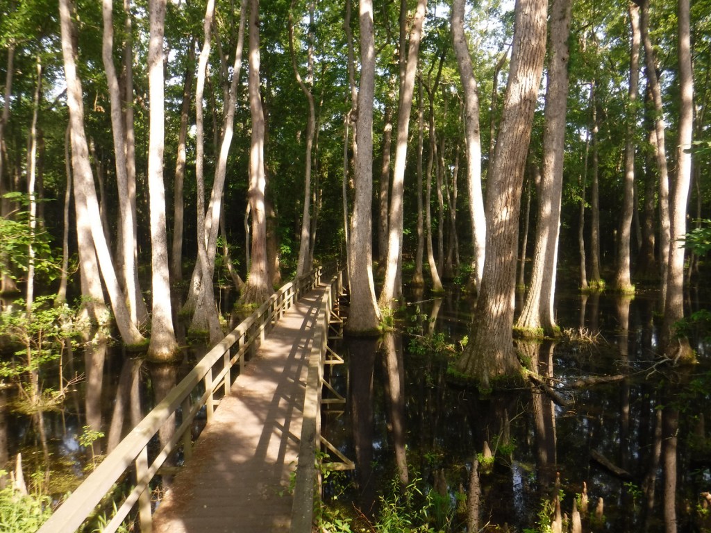
Rocky Springs, Owens Creek Waterfall, Tupelo-Baldcypress Swamp, Grindstone Ford, Witch Dance Horse Trail, War of 1812 Memorial
Must-Do Activity
The Natchez Trace National Scenic Trail does not follow the entire 444-mile parkway, but exists in five segments totaling 67 miles in length. The two longest sections are near Leipers Fork, Tennessee (Miles 408-427) and north of Jackson, Mississippi (Miles 108-130). There are many other places to go hiking along the Natchez Trace Parkway, including one of our favorite spots, Tishomingo State Park (Mile 304) in Mississippi. Near Tupelo, the Parkway Visitor Center at Mile 266 is another must-do stop to learn the history of the trace.
Best Trail
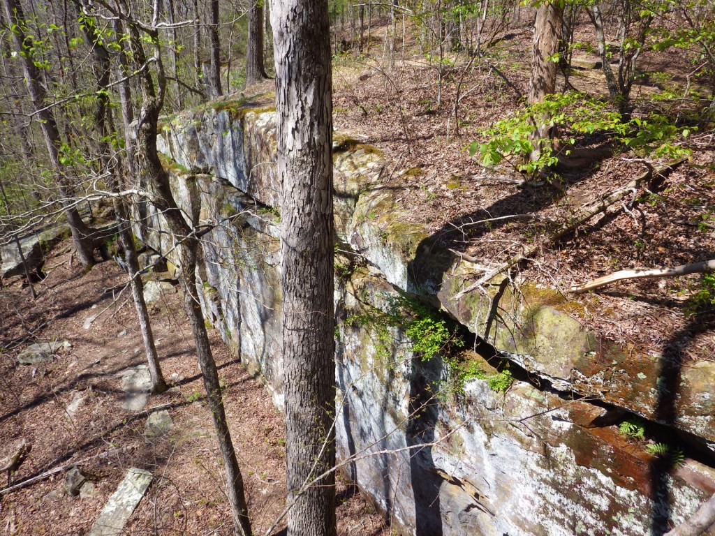
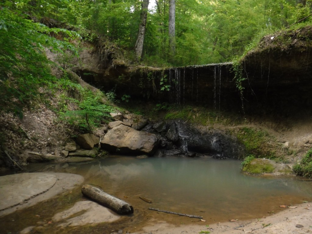
There are eight miles of the original trail around the Rocky Springs Campground near Mile 58 in Mississippi, which provides access to Owens Creek Waterfall and a historic town site.
Instagram-worthy Photo
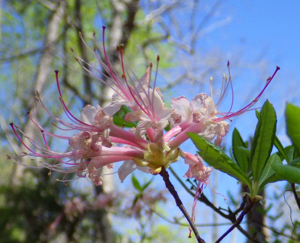
In early April the dogwood trees bloom along the Natchez Trace Parkway. At Mile 275 is Dogwood Valley, which also has a short section of “sunken” historic trail.

Peak Season
Spring and fall
Hours
https://www.nps.gov/natt/planyourvisit/hours.htm
Fees
None
Road Conditions
The entire 444-mile Natchez Trace Parkway is paved from Natchez, Mississippi to Nashville, Tennessee, but not all trailheads are RV accessible.
Camping
There are three NPS campgrounds along the Natchez Trace Parkway, as well as those in sites like Mississippi’s Tishomingo State Park. The three NPS campgrounds are free with running water, plus there are also five bike-only campsites along the route.
Related Sites
Tupelo National Battlefield (Mississippi)
Natchez National Historical Park (Mississippi)
Natchez Trace Parkway (Mississippi-Alabama-Tennessee)
Vicksburg National Military Park (Mississippi)
Nearest National Park


Explore More – The Natchez Trace Parkway officially joined the NPS system in 1938, but when was construction of the road finally completed?