Overview
Established in 1996, there are 34 separate sites encompassed within Boston Harbor Islands National Recreation Area. Not all of the areas are islands, some, like Worlds End, are the tips of peninsulas with roads accessing them from the suburbs of Boston, Massachusetts. The park is a managed by a hodgepodge of agencies, including the U.S. Coast Guard’s Boston Light on Little Brewster Island (open to ranger-led tours in the summer months).

Highlights
Worlds End, Governors Island, Webb Memorial State Park, Spectacle Island
Must-Do Activity
It is probably best to pick one island and thoroughly explore it by catching a ferry from Long Wharf North in downtown Boston, Hingham Shipyard, or Pemberton Point in Hull. We chose Georges Island which is mostly taken up by Fort Warren, which dates back to 1850. During the Civil War, the fort served as an artillery base and a prison. The National Park Service (NPS) operates an excellent museum on the island and shows a film on its history. Georges and Spectacle Islands are the only two islands that offer food for sale, plus they have water taxis leave from each dock to access many of the other islands.
Best Trail
Spectacle Island has five miles of hiking trails and also contains the highest point within Boston Harbor Islands National Recreation Area at 157 feet in elevation.
Instagram-worthy Photo
The site of the first lighthouse in America, Boston Light on Little Brewster Island can be seen from Georges Island and is open to guided tours in the summer.

Peak Season
Summer
Hours
https://www.nps.gov/boha/planyourvisit/basicinfo.htm
Fees
Passengers ferries charge fares, but there is not an entrance fee to the islands or Webb Memorial State Park.
Road Conditions
Most of the islands do not allow private vehicles, but you can bring your bicycle onto the ferries. Webb Memorial State Park, Deer Island, Worlds End, and Nut Island are accessible by paved roads in the Boston area.
Camping
There are yurts on Peddocks Island and tent camping is allowed on Bumpkin, Grape, Peddocks, and Lovells Islands from late June through Labor Day. Backcountry permits are required for stays on undeveloped islands.
Related Sites
Boston National Historical Park (Massachusetts)
Cape Cod National Seashore (Massachusetts)
Gateway National Recreation Area (New York-New Jersey)
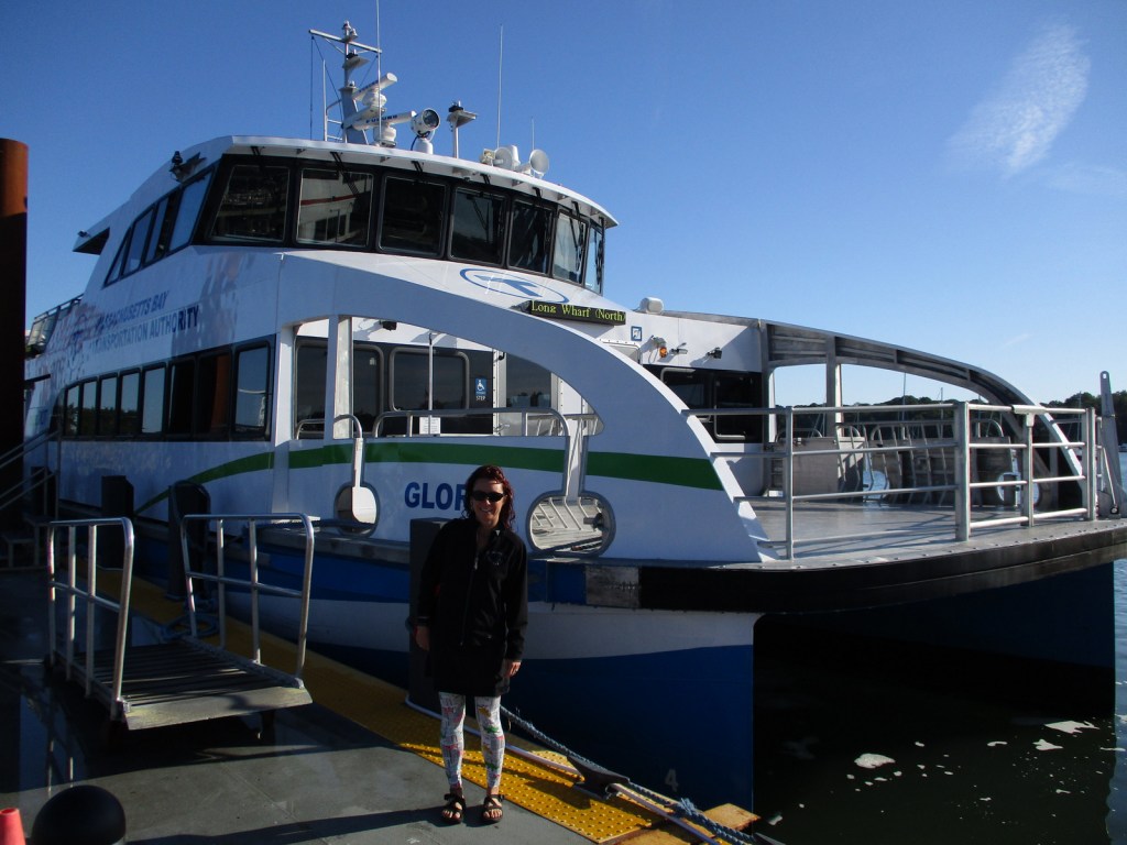
Tiff boarding the ferry 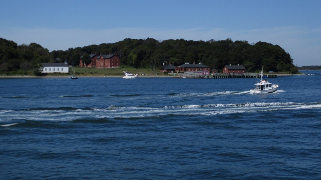
Fort Andrews on Peddocks Island 
Fort Warren on Georges Island 
Tiff at Fort Warren 

Fort Warren 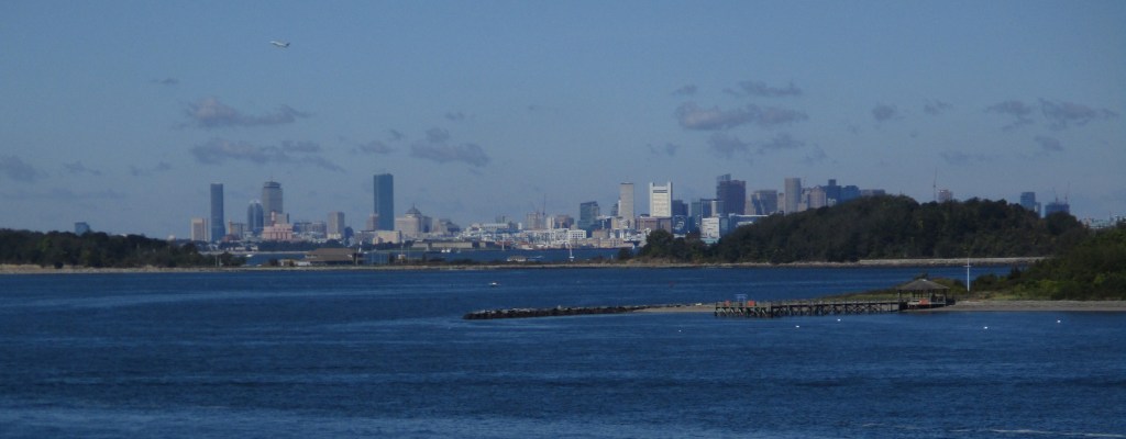
Looking west towards Long Island and downtown Boston 

Scott inside Fort Warren 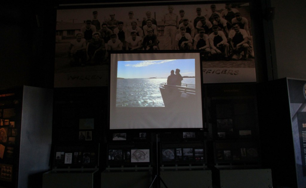
Watching the film in the Fort Warren museum 
Scott inside Fort Warren
Explore More – During the Civil War, who wrote the lyrics to “John Brown’s Body” while serving at Fort Warren?