Isle Royale National Park
Michigan
Managed by National Park Service
Established 1940
571,790 acres
Website: nps.gov/isro
Overview
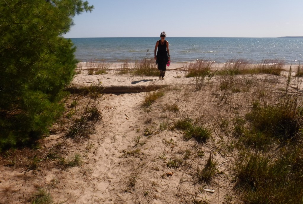
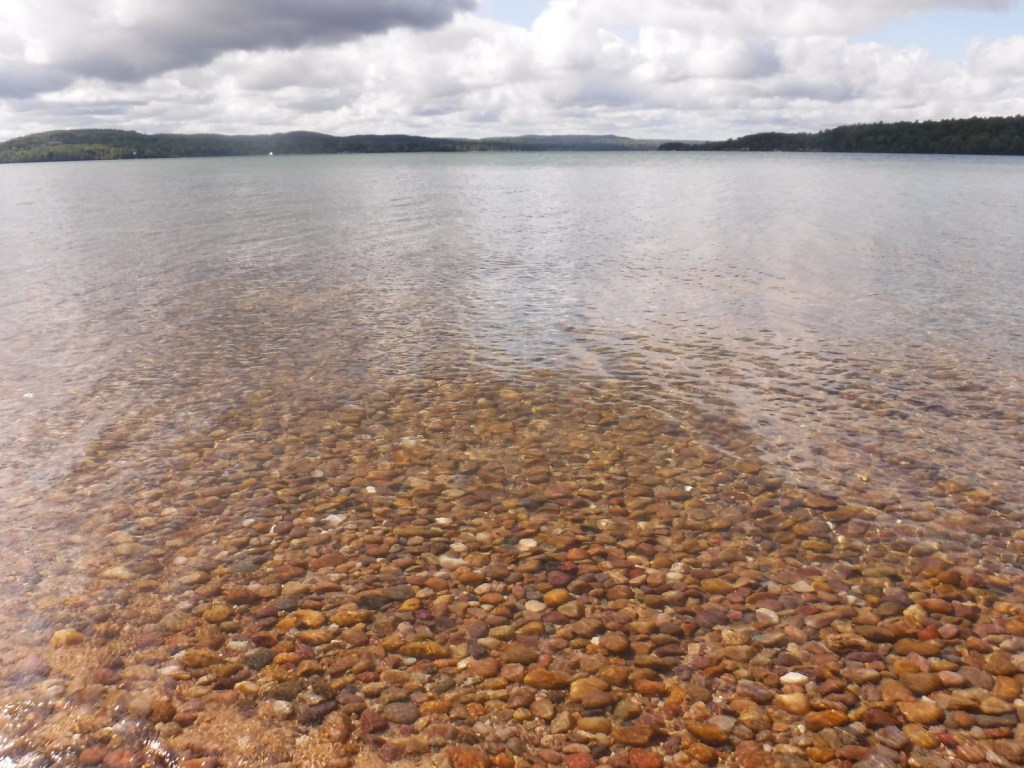
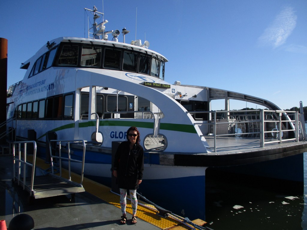
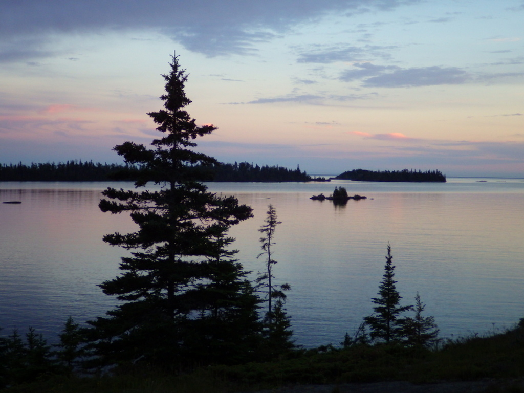
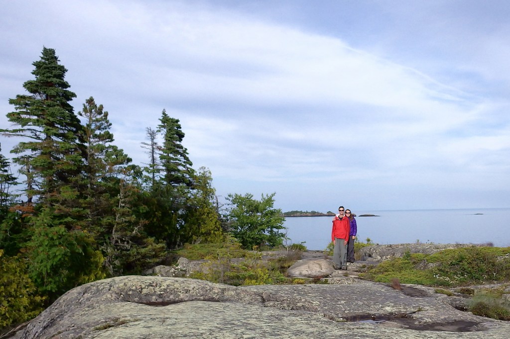
Surrounded by Lake Superior, Isle Royale is 45 miles long and nearer to Canada’s shores than it is to the rest of the United States. Long ferry boat rides with short layovers make this a difficult National Park to see on a daytrip, so the average stay for visitors is 3.5 days. The main access points are the ferry docks at Windigo in the west and Rock Harbor (which has a lodge) in the east.
Learn more in the expanded 2nd edition of our guidebook to the National Parks— A Park to Yourself: Finding Solitude in America’s 63 National Parks.

Highlights
Rock Harbor, Suzy’s Cave, Scoville Point, Windigo, Minong Ridge Trail, Greenstone Ridge Trail
Must-Do Activity
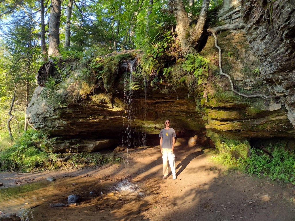
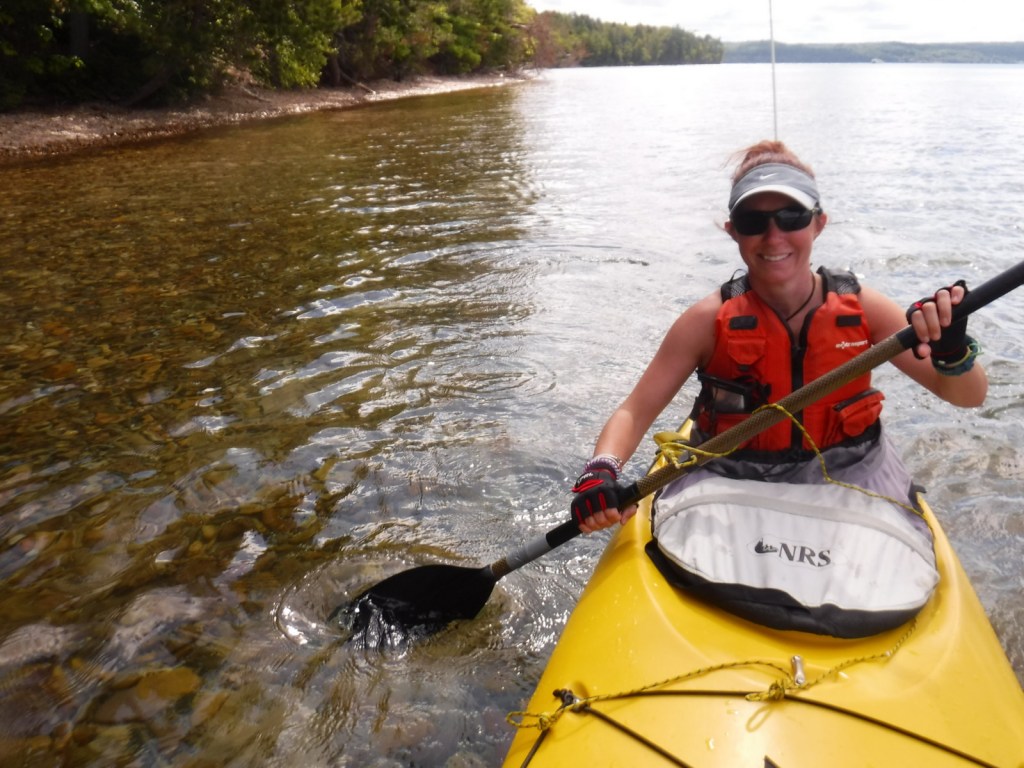
Hiking is the main activity at Rock Harbor and popular destinations include Scoville Point (5 miles roundtrip), 1,080-foot tall Mount Franklin (4 miles), and a water-carved arch called Suzy’s Cave (4 miles). From June to early-September, boat tours leave from the the marina to visit Rock Harbor Lighthouse, Edisen Fishery, Raspberry Island, Hidden Lake Trailhead, and Passage Island Lighthouse. Kayak and canoe rentals are also available at Rock Harbor Marina.
Best Trail
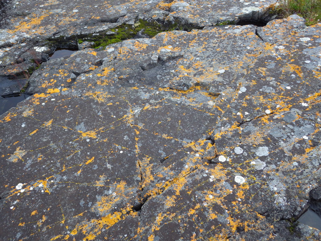
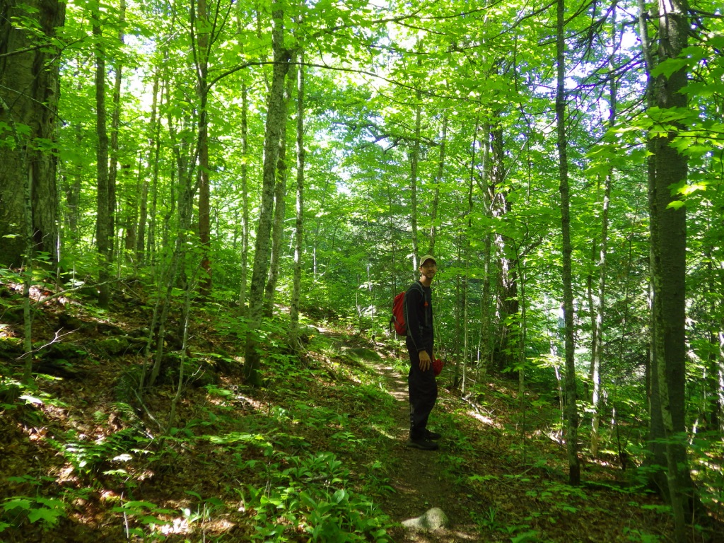
Since 99% of the park is designated Wilderness, backpacking is the best way to experience Isle Royale (but come prepared for biting insects). There are 34 backcountry campsites spread across the 165 miles of trail, but not right along the 42-mile Greenstone Ridge Trail that follows the island’s backbone west to east.
Instagram-worthy Photo
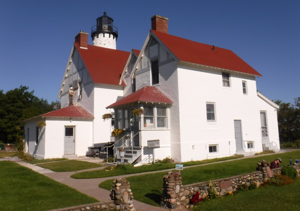
There are four lighthouses surrounding Isle Royale and two of them are visited by boat tours. We circumnavigated the entire island on a ferry boat and our favorite was the red-brick Isle Royale Lighthouse on Menagerie Island.

Peak Season
Summer
Hours
Despite the fact that it is closer to Minnesota (Central Time Zone), Isle Royale is part of Michigan and therefore in the Eastern Time Zone.
https://www.nps.gov/isro/planyourvisit/hours.htm
Fees
$7 per person, per day or America the Beautiful pass
Road Conditions
There are no roads on Isle Royale, which is only accessible by boat and floatplane. Ferries run in the summer months from Grand Portage, Minnesota and Copper Harbor and Houghton, Michigan.
Camping
There are nine screened-in shelters and eleven tent sites right at Rock Harbor, but camping there is limited to one night only to accommodate backpackers. Washington Harbor Campground is located at Windigo and allows up to a three-night stay, but the other 34 campsites require a backpacking permit (available at Rock Harbor, Windigo, and aboard the ferry boats from Michigan). Advanced reservations are only accepted for groups of more than six people, so plans must be flexible since there are limits to the number of campers per site.
Related Sites
Grand Island National Recreation Area (Michigan)
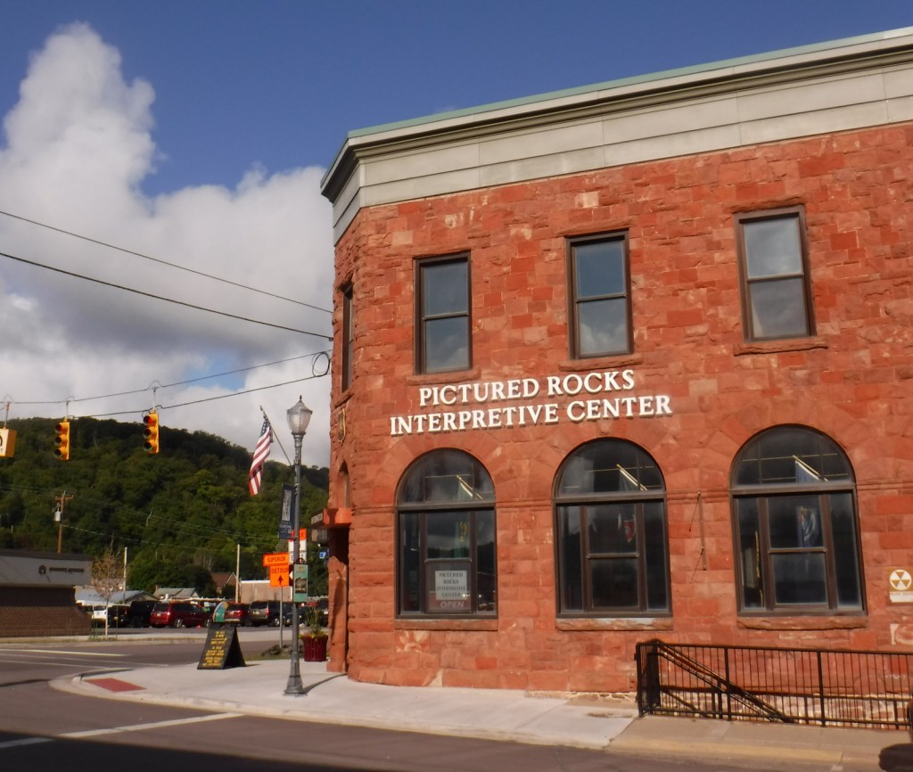
Pictured Rocks National Lakeshore (Michigan)
Grand Portage National Monument (Minnesota)
Keweenaw National Historical Park (Michigan)


Explore More – After depleting mines on the Keweenaw Peninsula, companies were eyeing Isle Royale’s deposits of what metal when it first gained federal protection in 1931?


We are a participant in the Amazon Services LLC Associates Program, an affiliate advertising program designed to provide a means for us to earn fees by linking to Amazon.com and affiliated sites.