Overview
Established in 2001, Virgin Islands Coral Reef National Monument covers 12,708 acres of ocean around Virgin Islands National Park on St. John. The National Monument consists of four separate areas in the Sir Francis Drake Channel and Caribbean Sea. Its primary access point is in Coral Bay where it touches the island’s shoreline and kayaks can be launched from the road at Borck Creek, Princess Bay, and Haulover Bay.

Highlights
Borck Creek, Princess Bay, Haulover Bay
Must-Do Activity
We rented a tandem kayak from Crabby’s in Coral Harbor and paddled east into Hurricane Hole to access the monument. We found the snorkeling to be best around Borck Creek. Guided kayaking and snorkeling trips can be arranged with concessionaires on the island.
Best Trail
None
Instagram-worthy Photo
In 2017, Hurricanes Irma and Maria killed a large portion of the red mangroves surrounding the bays within the monument. However, even the dead roots provide structure for coral and fish. The best way to see this is to snorkel in the shallow water, but be careful not to touch a mangrove jellyfish which can trigger a group response when the first one stings.

Peak Season
Winter
Hours
These are the hours for the Virgin Islands National Park visitor center on St. John:
https://www.nps.gov/viis/planyourvisit/hours.htm
Fees
None
Road Conditions
No roads in this completely underwater monument, but watch for potholes and oncoming truck traffic if you drive to Princess Bay on Centerline Road from the ferry terminal in Cruz Bay. Note: you drive on the left side of the road in the U.S. Virgin Islands, but in standard American left-side driver seat vehicles.
Camping
There are overnight moorings (no anchors allowed) for boats in Water Creek and other bays around St. John. There are currently no campgrounds open on the island.

There are no roads in this completely underwater National Monument. 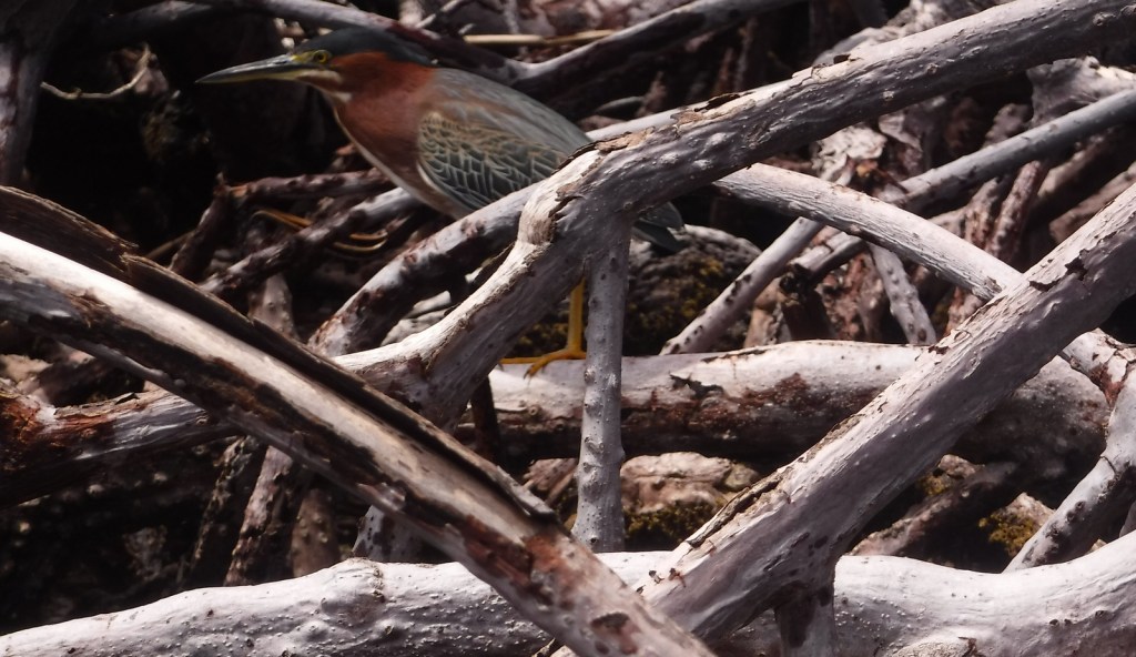
Green heron in the mangroves 
Tiff snorkeling in the rain 
Buffalo cowfish 
Mangrove jellyfish 
Smooth trunkfish 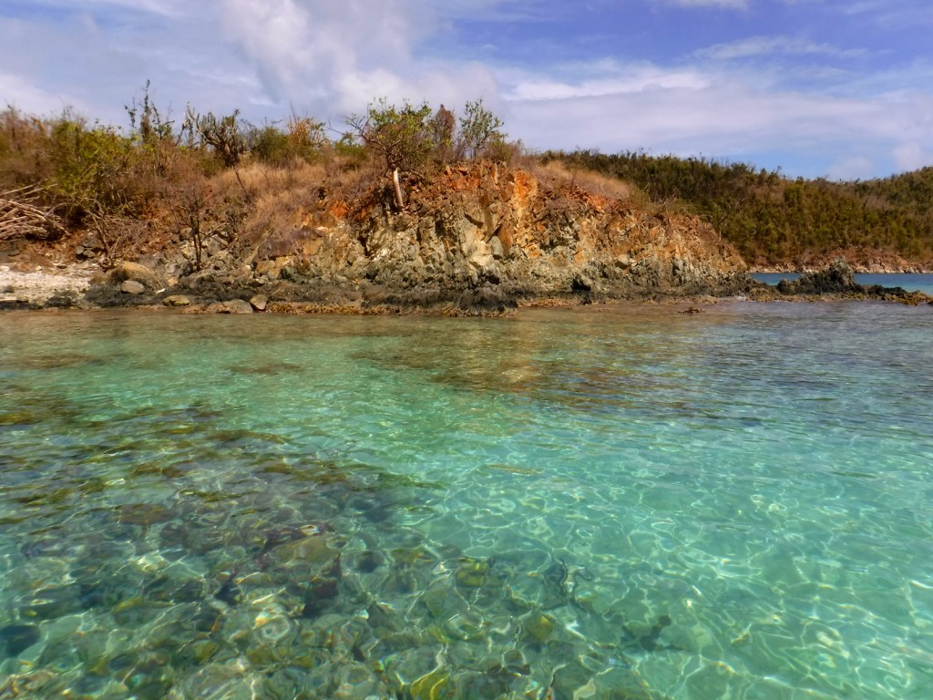

A bluehead wrasse swimming around coral in Haulover Bay.
Barracuda 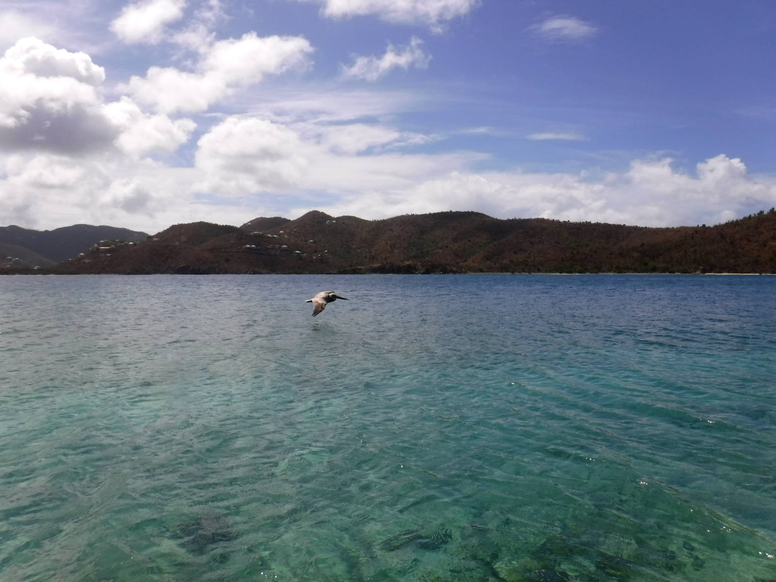
Brown Pelican flying over Hurricane Hole
Explore More – Why do barracudas often follow snorkelers and divers?