Overview
Like John Day Fossil Beds in Oregon, this area in central Colorado protects a geologically significant window into the past. Here the fossils are 34-million years old, buried by volcanic debris and lake sediments, with species that do not look that different from plants and animals we see today.

Highlights
Museum, Ponderosa Loop, Petrified Forest Loop, Big Stump, Hornbek Homestead
Must-Do Activity
A variety of butterflies, birds, leaves, and flowers are nicely displayed in the visitor center. Our favorite was the bloom of Florissantia speirii, an extinct member of the cocoa family that grew at this site when the climate was much warmer and wetter. After exploring the museum, head outside on the wheelchair-accessible Ponderosa Loop or hike some of the monument’s 14 miles of trails.
Best Trail
Take a walk on the Ponderosa or Petrified Forest Loops to see excavated stumps of massive redwood trees, fossilized in place with beautifully colored minerals replacing the original organic compounds. You can even see annual growth rings preserved in the petrified wood. If you have not experienced the massive dimensions of coast redwoods in California, these stumps will make you want to visit those living trees in person.
Instagram-worthy Photo
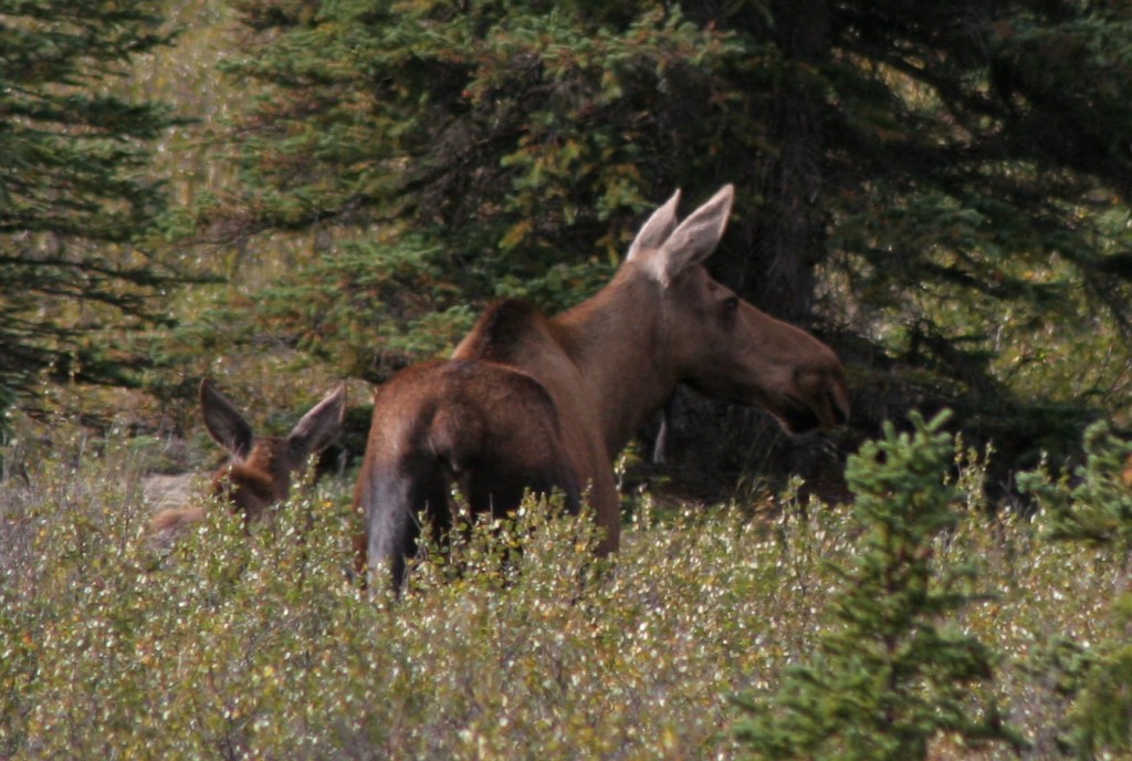
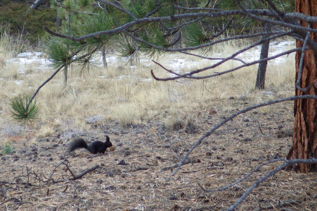
On your walk through the ponderosa pine forest, you may spot an Abert’s squirrel, a species known for its long ear tufts. Also watch for elk.
Peak Season
Summer due to high elevation
Hours
https://www.nps.gov/flfo/planyourvisit/hours.htm
Fees
$10 per adult or America The Beautiful pass
Road Conditions
The main roads are paved, but Upper Twin Rock Road is not.
Camping
None within the National Monument, but there are several campgrounds in the surrounding Pike National Forest, as well as dispersed camping opportunities.
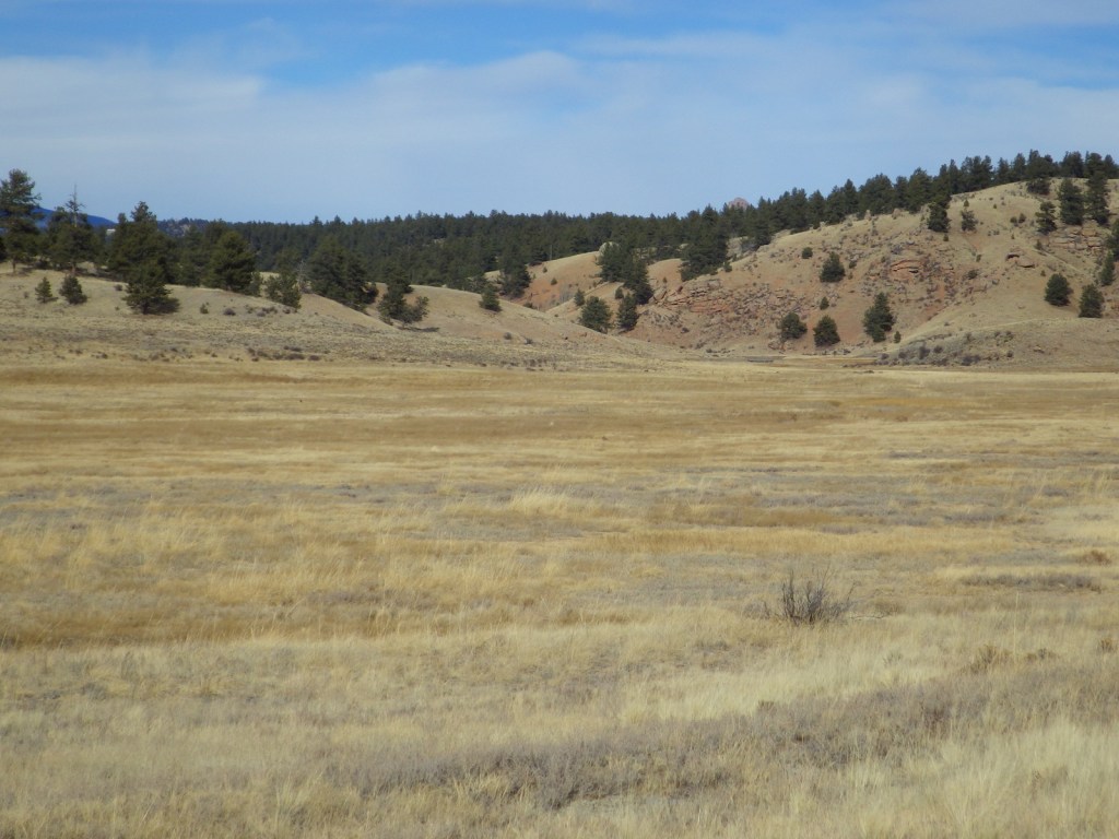
Petrified Forest Loop Trail 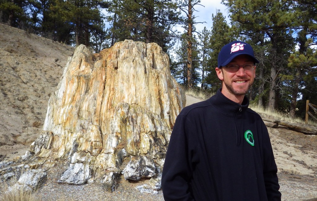
Scott with Big Stump — over 12 feet in diameter 

Petrified wood 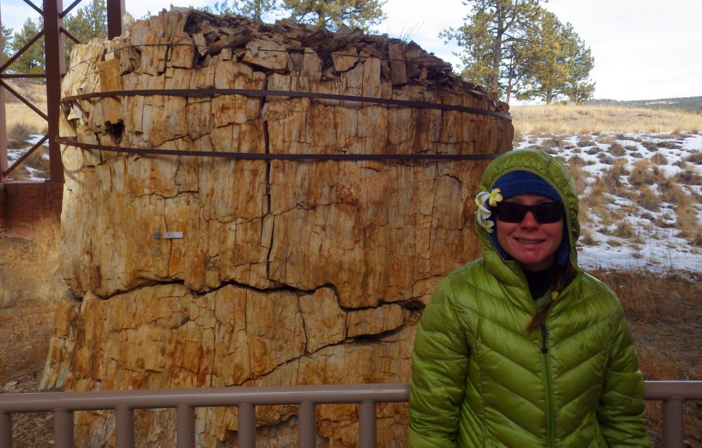
Tiff with a redwood stump 
Explore More – At the bottom of Ancient Lake Florissant, the microlayers of fine volcanic ash and clay formed what type of sedimentary rock?