Tag Archives: wildlife

Voyageurs National Park

Overview

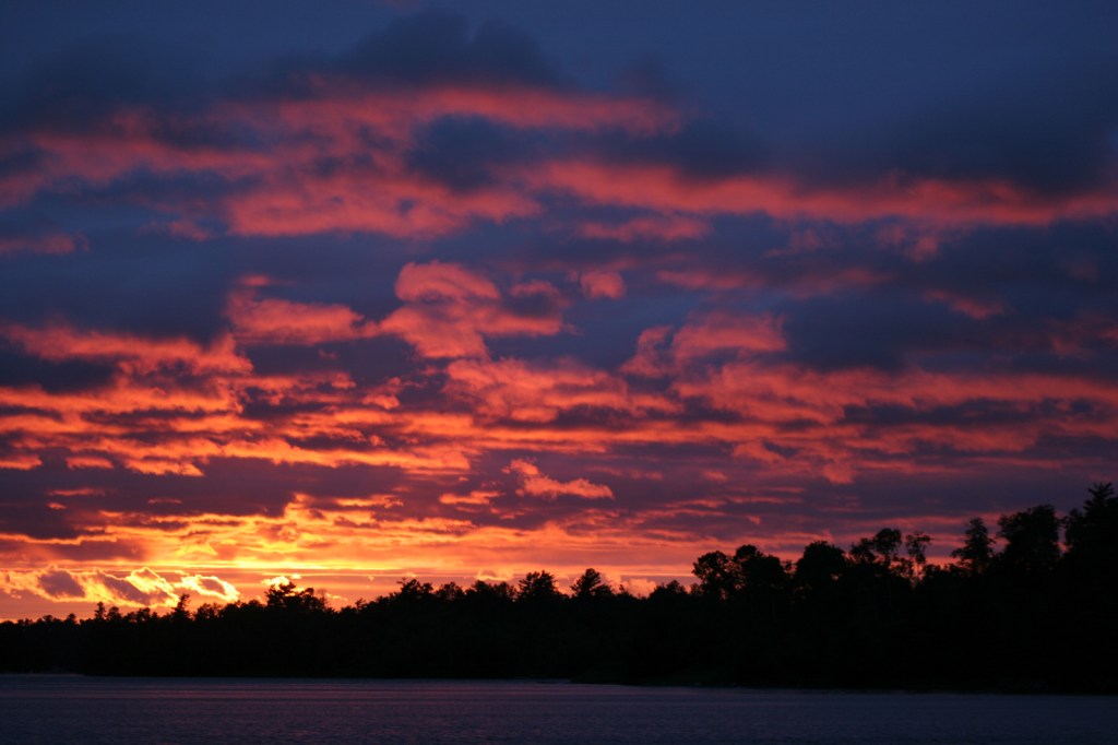
Water dominates Voyageurs National Park on the border of Minnesota and Ontario, Canada.  So much so that many of the land formations were never given names by the French fur traders (or “voyageurs”) that navigated these waters beginning in the late-1700s.  It was a hard life, paddling large birch bark canoes full of supplies up to sixteen hours per day.  Today the park is famous for its manmade destinations, including Kettle Falls Hotel, Hoist Bay Resort, and the unique sculptures at Ellsworth Rock Gardens. 

Highlights

Kettle Falls, Ellsworth Rock Gardens, Hoist Bay Resort, Kab-Ash Trail

Must-Do Activity

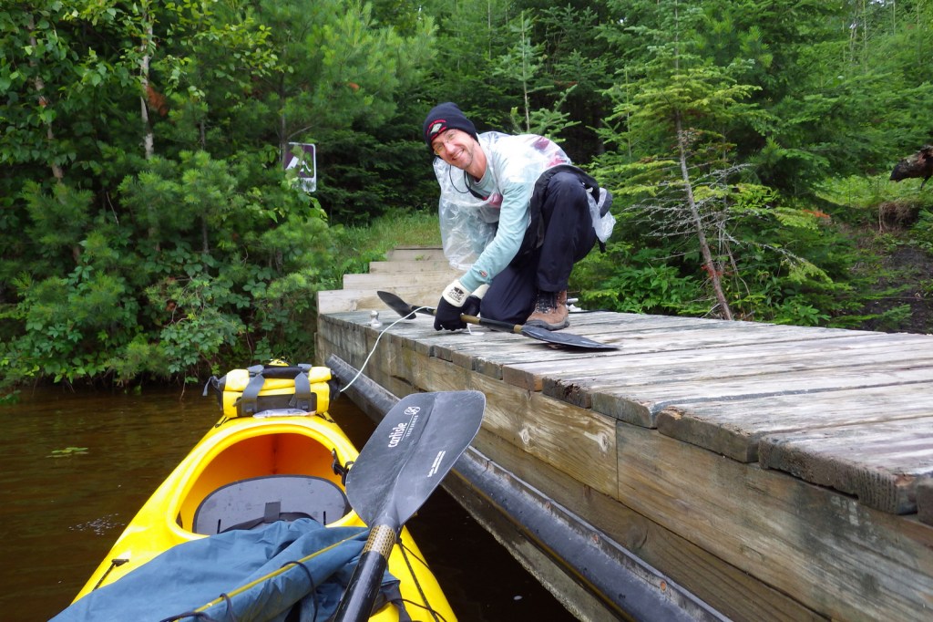
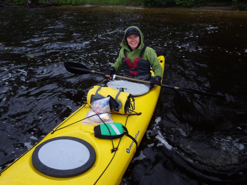
Be sure to get out on the water via a ranger-led tour or take your own boat to one of the shoreline campsites inaccessible by car (permit required).  Reservations can be made for the free ranger-guided North Canoe Voyage that lets passengers paddle a 26-foot canoe, just like the “voyageurs” of old.  For more information, check out our National Park guidebook, A Park to Yourself: Finding Adventure in America’s National Parks (available on Amazon).

Best Trail

There are several short trails that lead from the visitor centers at Rainy Lake and Ash River, in addition to the 28-mile long Kab-Ash Trail that allows backpacking. 

Instagram-worthy Photo

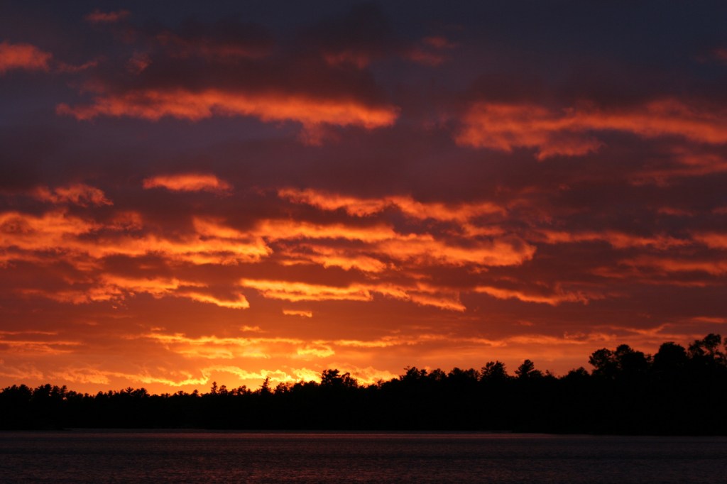
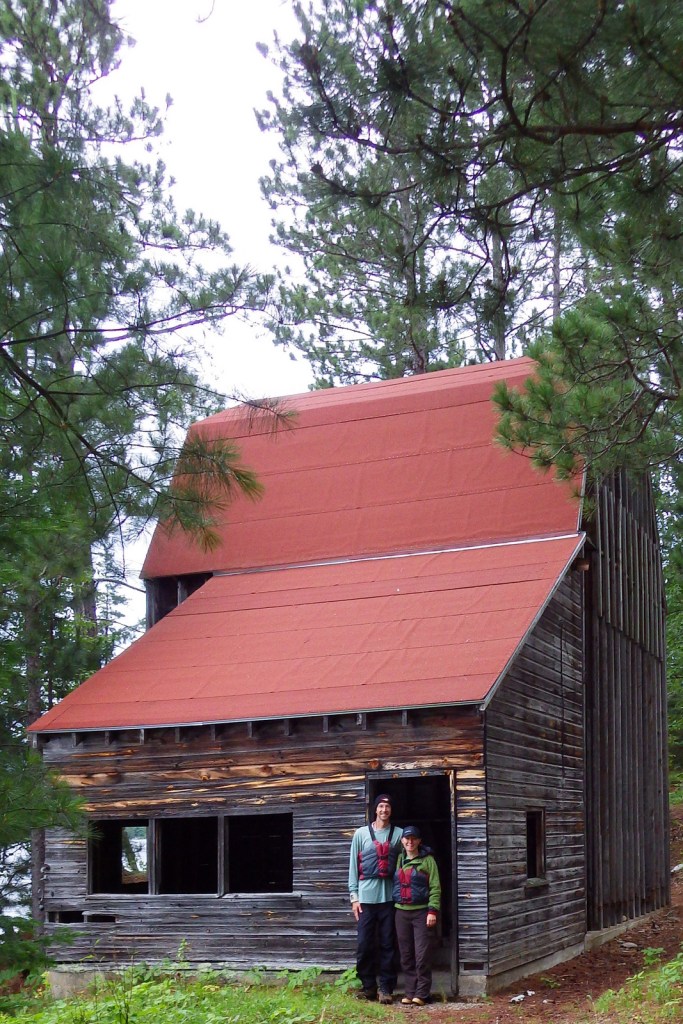
On Namakan Lake, you can explore the remains of Hoist Bay Resort, which was a logging camp before it became a vacation destination.  It feels haunted in the evening, exploring the empty ruins while listening to the eerie calls of common loons.
Peak Season

Summer, but be prepared for bugs.

Hours

https://www.nps.gov/voya/planyourvisit/hours.htm

Fees

None, except for camping frees

Road Conditions

The major access roads to NPS visitor centers are paved, plus in the winter there is a designated 7-mile ice road over Rainy Lake.

Camping

There are 214 boat-in campsites available first-come, first-served with a NPS permit (reservations available).  There are several campgrounds located on the mainland just outside the park boundaries.

Related Sites

Grand Portage National Monument (Minnesota)

Isle Royale National Park (Michigan)

Apostle Islands National Lakeshore (Wisconsin)

This design we created to celebrate Voyageurs National Park is available on a variety of products at Cafe Press and Amazon.

Explore More – When did the Virginia and Rainy Lake Lumber Company operate at Hoist Bay on Namakan Lake?

We are a participant in the Amazon Services LLC Associates Program, an affiliate advertising program designed to provide a means for us to earn fees by linking to Amazon.com and affiliated sites.
Update to Our Guidebook: A Park to Yourself

Since White Sands National Monument was upgraded to the 62nd National Park on December 20, 2019, we decided to update our guidebook to the parks.  If you already bought your copy on Amazon, please find the new page 308 posted below.  White Sands is one of our favorite of the many National Park Service units in New Mexico.  You can read more about the park on this blog. 

White Sands

New Mexico

148,558 acres

Established 2019

603,008 visitors in 2018

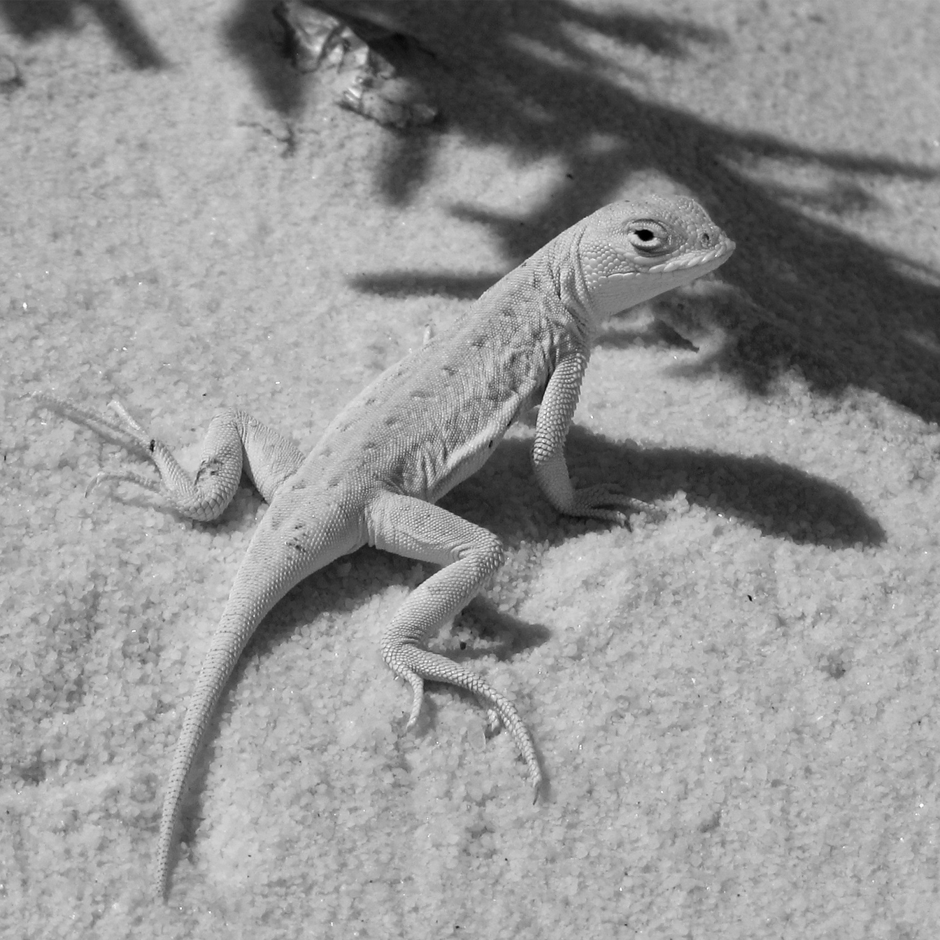
Dunes composed of gypsum make a great destination for snow sledding year round, especially when the sand is wet.  Gypsum readily dissolves in water, but here it forms dunes because no river drains the Tularosa Basin.  Follow markers on the five-mile roundtrip Alkali Flat Trail that goes up and down dunes and provides views of the San Andres Mountains.  Most of the wildlife here is nocturnal, but during the day you may spot bleached earless lizards that evolved to camouflage in the gypsum.  The white dunes take on the colors of the sunset if you attend the ranger-guided Sunset Stroll or backpack camp.  There is no campground and only ten backcountry campsites, and their availability is dependent upon whether the military is conducting missile tests overnight, so call ahead or check the schedule online.  Oliver Lee Memorial State Park offers a full service campground in a beautiful setting south of Alamogordo, New Mexico.

We are a participant in the Amazon Services LLC Associates Program, an affiliate advertising program designed to provide a means for us to earn fees by linking to Amazon.com and affiliated sites.

Cumberland Gap National Historical Park

Overview

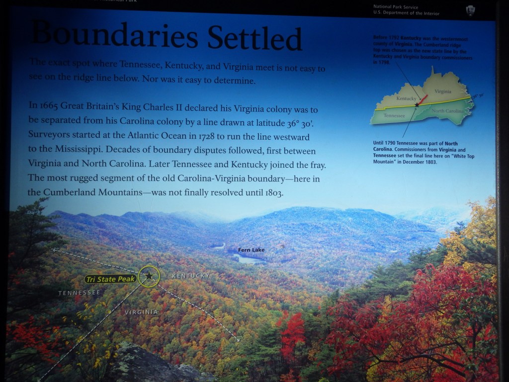
As one of the easiest crossings of the Alleghany Mountains, Cumberland Gap saw steady foot traffic from 1775 to 1810 as American settlers moved west then sent their trade goods and livestock east.  It later became the corner where the states of Kentucky, Tennessee, and Virginia all converge.  Today there is a tunnel on Highway 25E, maintaining the park’s quiet and its appearance of centuries ago. 

Highlights

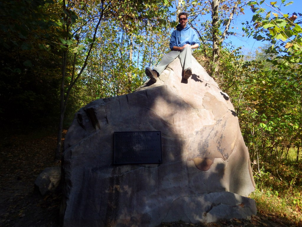
Pinnacle Overlook, Tri-State Peak, Wilderness Road Trail, Hensley Settlement, Gap Cave

Must-Do Activity

All visitors will want to drive the steep four-mile long Pinnacle Road, along which trailheads lead to scenic overlooks and earthen forts dating to the 1860s.  Reservations are recommended if you want to take a tour of the Hensley Settlement or Gap Cave, which typically sell out.  Even if you cannot make it on a tour, there are 85 miles of shady trails through the park’s 24,000 acres of forest to make your visit worthwhile.

Best Trail

At Cumberland Gap National Historical Park you can follow in the footsteps of salt-seeking bison, Shawnee and Cherokee warriors, hundreds of thousands of pioneers, and Civil War soldiers from both sides.  Hike the Wilderness Road Trail to the saddle of the official Cumberland Gap, which is marked by a sign.  You will also pass the same Indian Rock that was seen by frontiersman Daniel Boone when he helped blaze the Wilderness Trail in 1775.

Instagram-worthy Photo

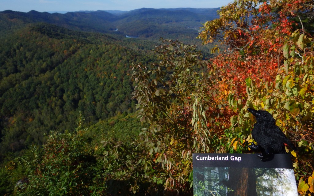
You can see parts of Kentucky, Virginia, and Tennessee from Pinnacle Overlook at 2,440 feet in elevation.  With its commanding views, you can see why both sides found the Cumberland Gap strategic during the Civil War.

Peak Season

Summer

Hours

https://www.nps.gov/cuga/planyourvisit/hours.htm

Fees

None, except for the separate tours of Hensley Settlement and Gap Cave (reservations recommended).

Road Conditions

The four-mile long road up to Pinnacle Overlook is paved but steep enough to be closed to all trailers and vehicles over 20 feet in length.

Camping

The park’s Wilderness Road Campground is large and open year round.  Free permits are available for backcountry campsites.  Black bears are common in the park, so proper food storage is required.

Related Sites

Mammoth Cave National Park (Kentucky)

Big South Fork National River and Recreation Area (Tennessee-Kentucky)

Great Smoky Mountains National Park (Tennessee-North Carolina)

Explore More – Who was the Virginian who first “discovered” and named the Cumberland Gap in 1750?

We are a participant in the Amazon Services LLC Associates Program, an affiliate advertising program designed to provide a means for us to earn fees by linking to Amazon.com and affiliated sites.

Arkansas Post National Memorial

Overview

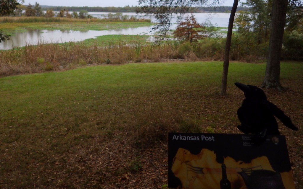
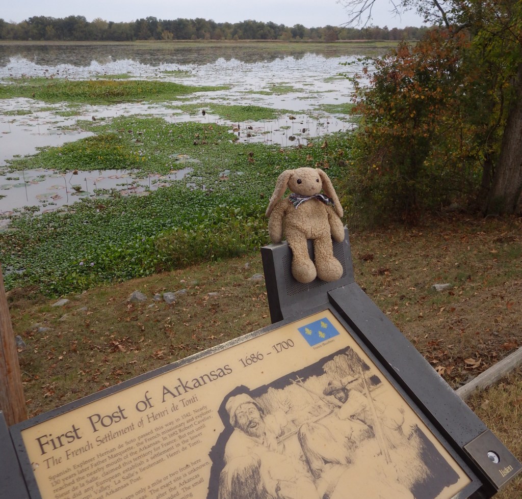
Arkansas Post National Memorial is in the southeastern section of its namesake state near the confluence of the Arkansas and Mississippi Rivers.  The French first settled this area in 1686 in order to trade with a large village of Quapaw Indians.  From 1763-1800 the fort was controlled by the Spanish, who were attacked by the British here in 1783 in what became known as the Colbert Incident, considered one of the final battles in the American Revolution.

Highlights

Museum, film, ruins, cannons, wildlife, fishing

Must-Do Activity

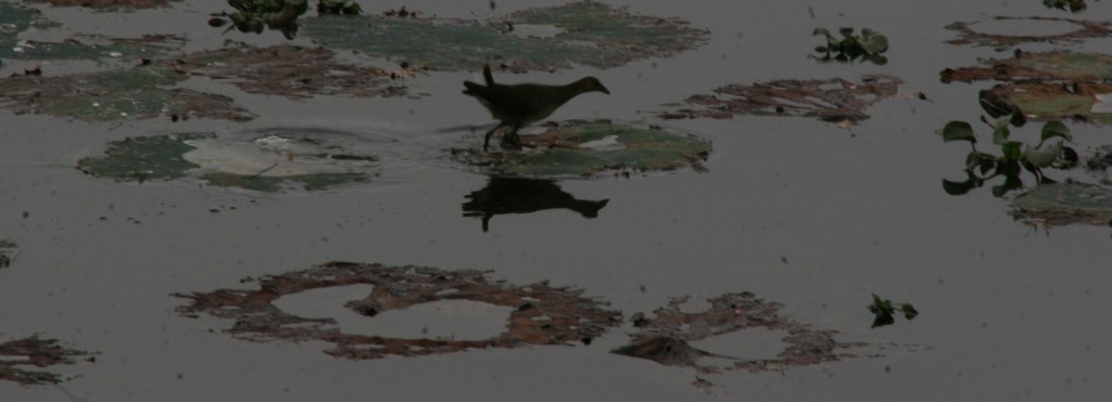
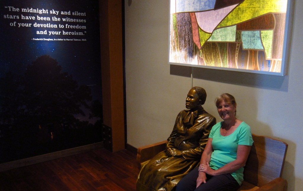
Following the Louisiana Purchase, the post briefly served as the territorial capital, then that moved to Little Rock, Arkansas in 1821.  It fell into decline until Fort Hindman was built during the Civil War, after which time much of the shoreline was washed away by the Arkansas River.  There are not many human structures left to see at the site, but the bayou offers great opportunities for birdwatching.

Best Trail

A trail passes Park Lake through the Old Townsite to shoreline views of Post Bayou and the Arkansas River.  A trench dug by the Confederate army during the Civil War is also visible from the trail and a side road north of the visitor center.

Instagram-worthy Photo

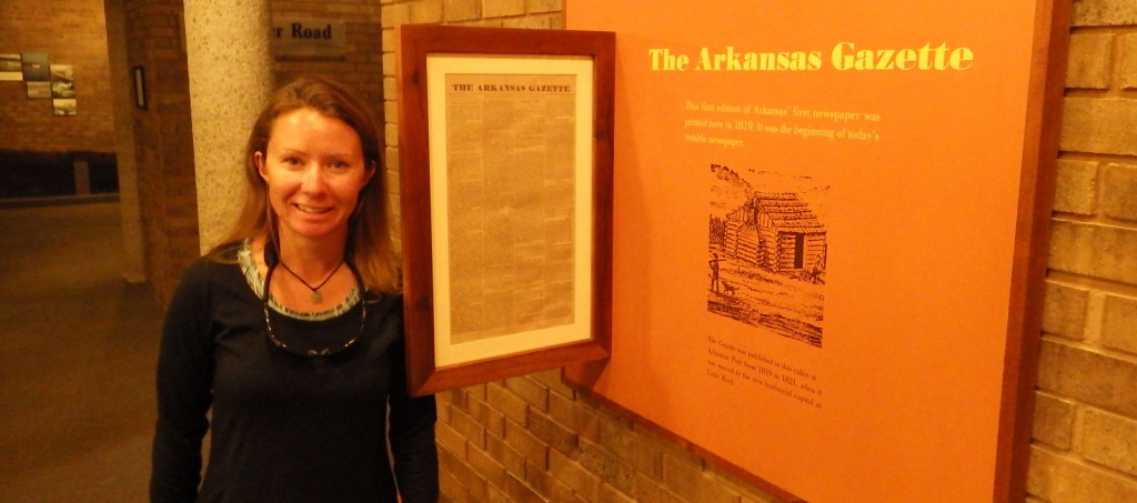
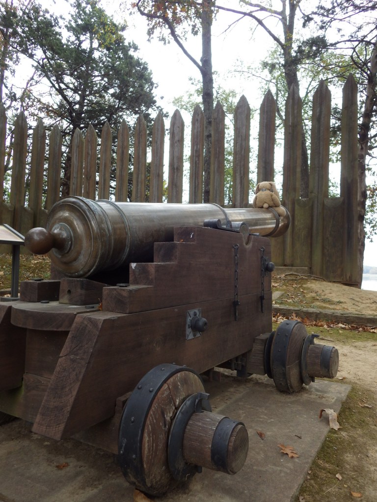
There are plenty of cannons around to pose with, but Tiff was most excited about the original location of The Arkansas Gazette newspaper that started right here in 1819 and is still printed today in Little Rock (which is where she grew up with Wondon).

Peak Season

Spring and fall when there are less mosquitoes.
Hours

https://www.nps.gov/arpo/planyourvisit/basicinfo.htm

Fees

None

Road Conditions

All roads paved

Camping

Camping is not allowed within the park, but the U.S. Army Corps of Engineers manages campgrounds at Pendleton Bend and Merrisach Lake Park.

Related Sites

Little Rock Central High School National Historic Site (Arkansas)

Hot Springs National Park (Arkansas)

Natchez Trace Parkway (Mississippi-Tennessee)

Explore More – Following the 1863 Civil War battle to take the fort, how many Confederate soldiers were taken prisoner?

Harriet Tubman Underground Railroad National Historical Park

Harriet Tubman Underground Railroad National Historical Park

Maryland

Managed by National Park Service and U.S. Fish and Wildlife Service

Established 2013 as National Monument (NM), 2014 as National Historical Park (NHP)

480 acres NHP; 11,270 acres NM

Website: nps.gov/hatu

Overview

This relatively undeveloped section of Maryland’s Eastern Shore might still be recognizable to Harriet Tubman, who was born here as Araminta “Minty” Ross in 1822.  After her own solo escape to Philadelphia using the Underground Railroad network in 1849, she returned thirteen times to conduct approximately 70 people north, as well as to provide detailed instructions that enabled another 70 to find freedom.  During the Civil War, Tubman served as a Union spy and became the first woman to lead an armed U.S. military assault.

Highlights

Museum, Blackwater National Wildlife Refuge, Bucktown Village Store

Must-Do Activity

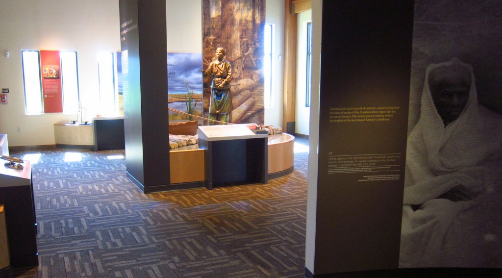
Harriet Tubman lived a hard life, as described in the exhibits at Harriet Tubman Underground Railroad State Park (museum opened in March 2017), managed in association with the National Park Service.  Pick up a map at the museum, then make as many stops as you wish along the 125-mile long Harriet Tubman Underground Railroad Byway, which offers a free downloadable audio guide.  You will definitely be inspired by the story of this brave conductor on the Underground Railroad.

Best Trail

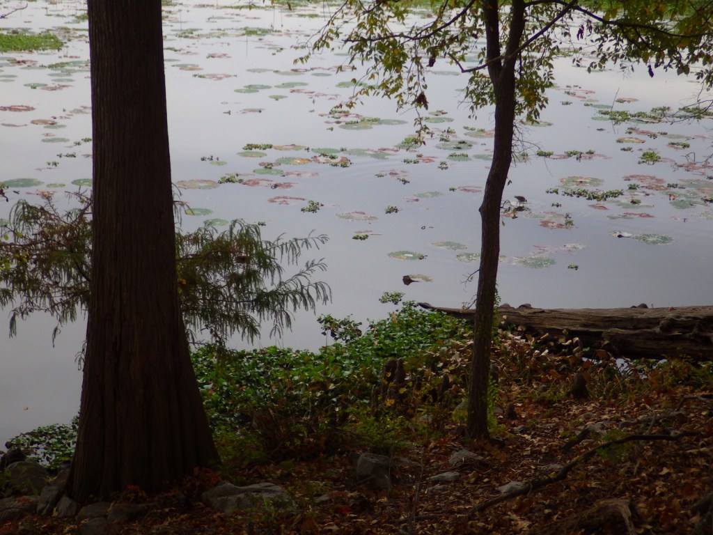
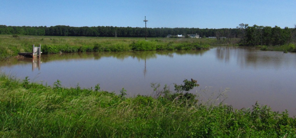
Near the museum at Harriet Tubman Underground Railroad State Park, 28,000-acre Blackwater National Wildlife Refuge is a great place to see ospreys and overwintering birds. The Key Wallace loop trail is 2.7 miles long.
Instagram-worthy Photo

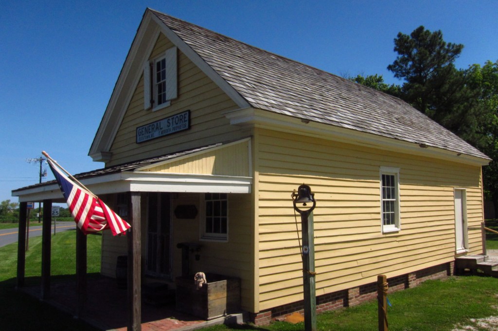
Bucktown Village Store has been restored to its 1800s appearance and is open to visitors.  Harriet Tubman accomplished amazing feats despite suffering seizures throughout her life from a skull fracture suffered at the Bucktown Village Store during her youth (see the photo below for the full story). 

Peak Season

Summer

Hours

https://www.nps.gov/hatu/planyourvisit/hours.htm

Fees

None, except at Blackwater National Wildlife Refuge, which is only $3 per vehicle and accepts America the Beautiful passes.

Road Conditions

All major roads are paved on the 125-mile long Harriet Tubman Underground Railroad Byway and the driving route is well-maintained through Blackwater National Wildlife Refuge. 

Camping

There are developed campgrounds at the northern end of Assateague Island National Seashore on Maryland’s Atlantic Coast.

Related Sites

Harriet Tubman National Historical Park (New York)

Frederick Douglass National Historic Site (District of Columbia)

Assateague Island National Seashore (Maryland-Virginia)

Chincoteague National Wildlife Refuge (Virginia)

First State National Historical Park (Delaware)

Nearest National Park

Shenandoah

Explore More – Although part of its acreage became a National Historical Park, what portion is still considered Harriet Tubman Underground Railroad National Monument?